

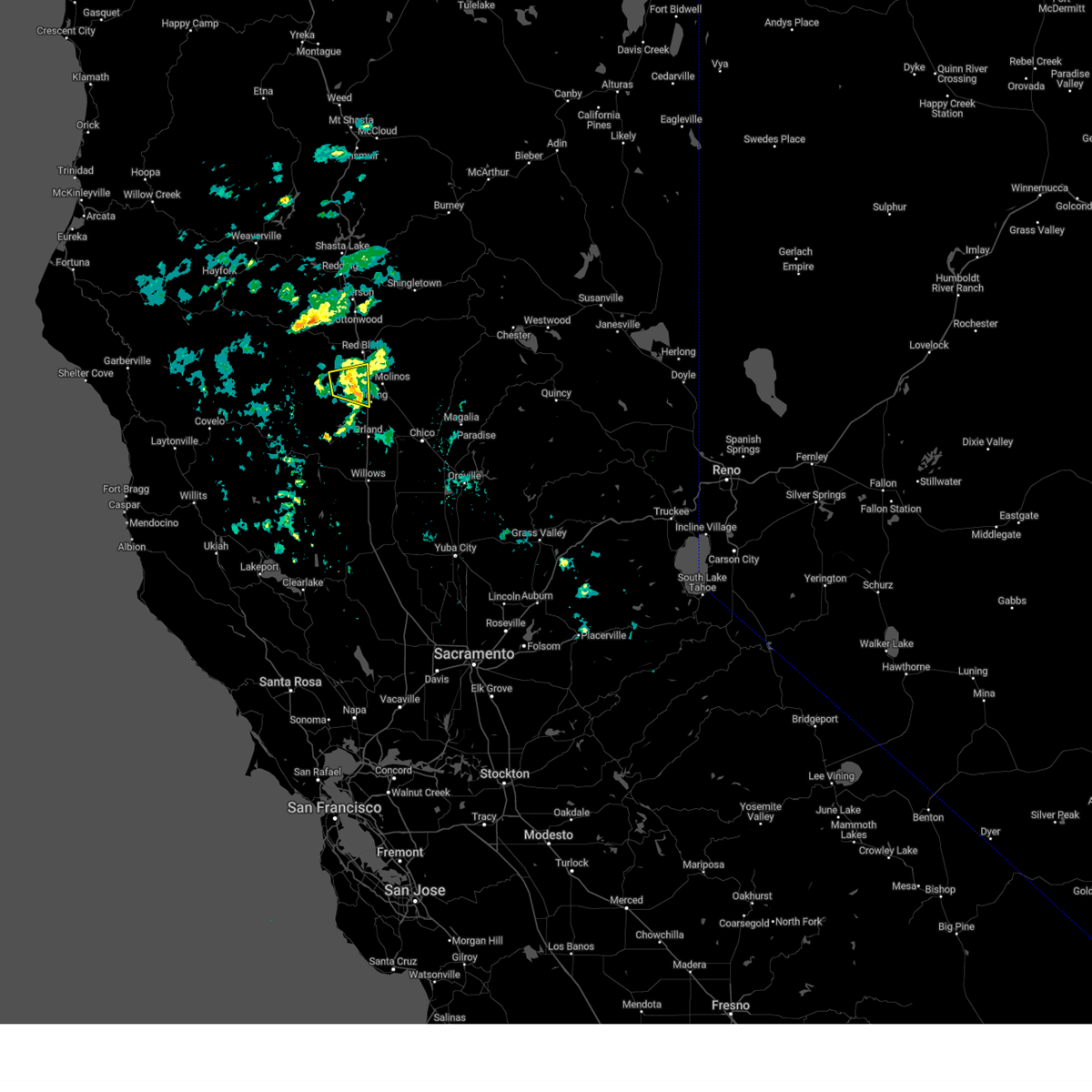
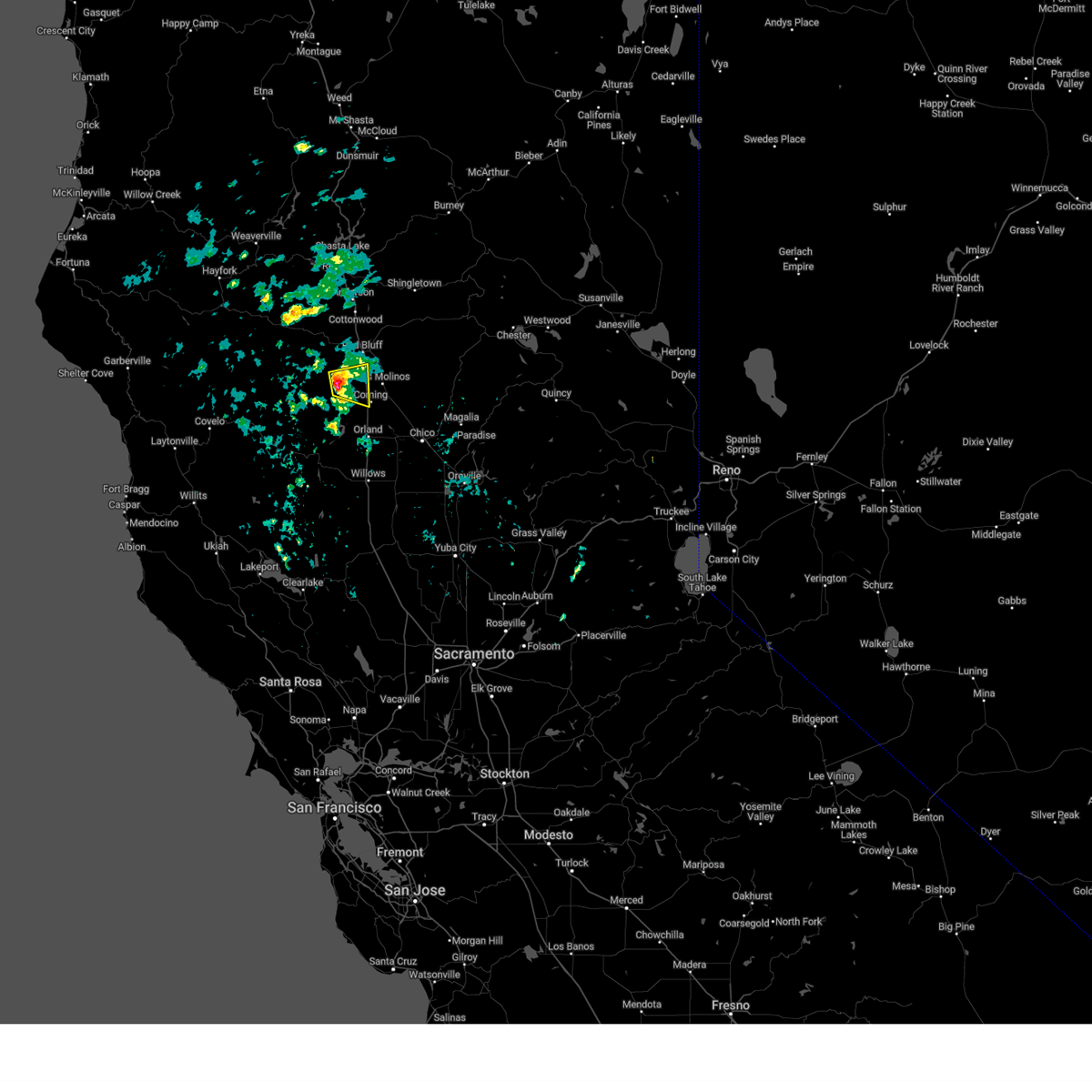
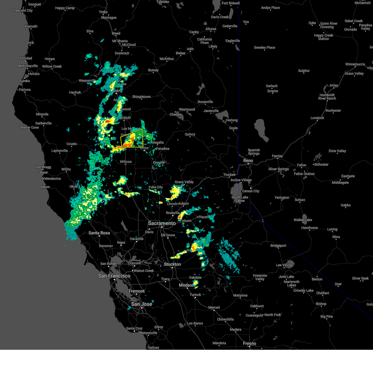
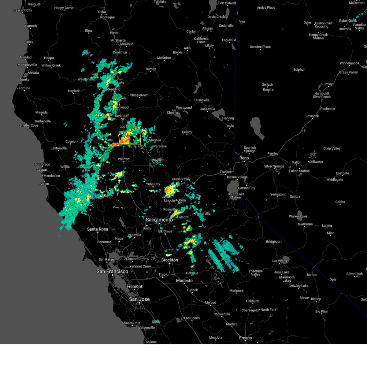
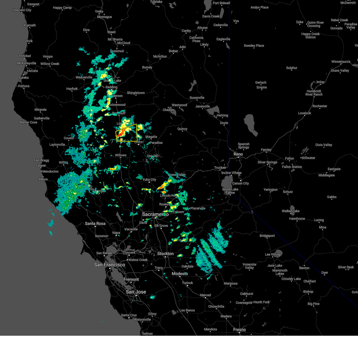
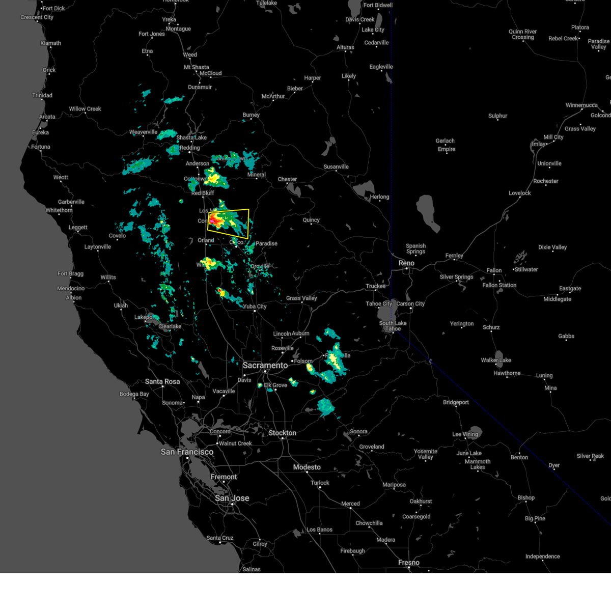
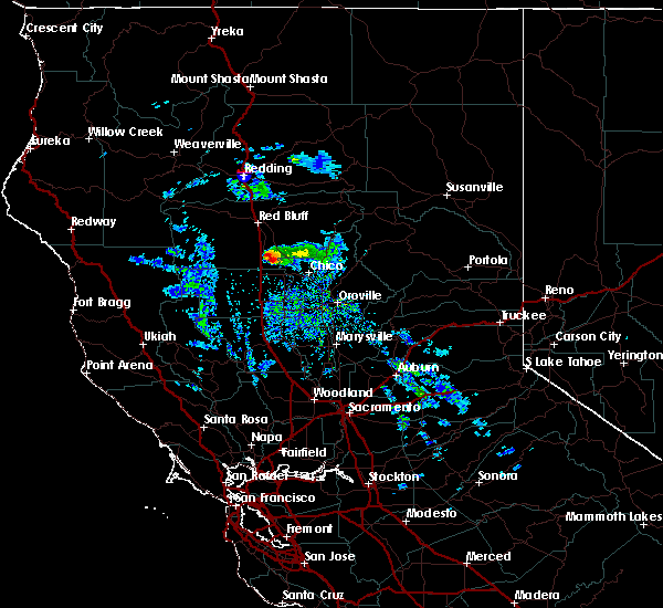
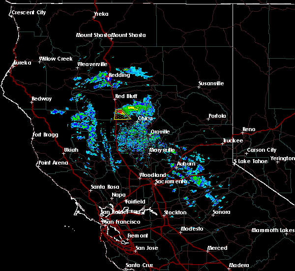
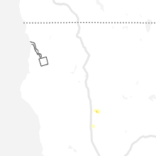
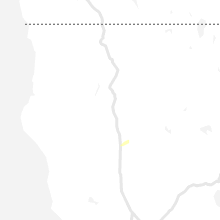
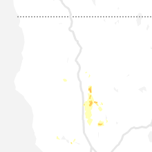
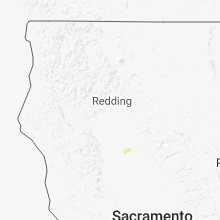
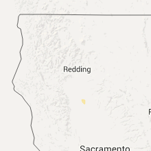
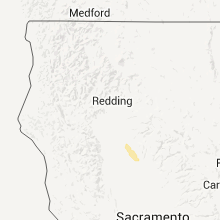
Hail Map for Corning, CA
The Corning, CA area has had 3 reports of on-the-ground hail by trained spotters, and has been under severe weather warnings 5 times during the past 12 months. Doppler radar has detected hail at or near Corning, CA on 6 occasions.
| Name: | Corning, CA |
| Where Located: | 47 miles SSE of Redding, CA |
| Map: | Google Map for Corning, CA |
| Population: | 7663 |
| Housing Units: | 2871 |
| More Info: | Search Google for Corning, CA |
5
The Top Recent Hail Date for Corning, CA is Saturday, January 23, 2016 (1st out of 6)

Hail and Wind Damage Spotted near Corning, CA
| Date / Time | Report Details |
|---|---|
| 5/12/2025 3:57 PM PDT |
 The storm which prompted the warning has weakened below severe limits, and no longer poses an immediate threat to life or property. therefore, the warning will be allowed to expire. however small hail is still possible with this storm. The storm which prompted the warning has weakened below severe limits, and no longer poses an immediate threat to life or property. therefore, the warning will be allowed to expire. however small hail is still possible with this storm.
|
| 5/12/2025 3:20 PM PDT |
 Svrsto the national weather service in sacramento has issued a * severe thunderstorm warning for, south central tehama county in northern california, * until 400 pm pdt. * at 319 pm pdt, a severe thunderstorm was located near rancho tehama reserve, or 13 miles northwest of corning, moving east at 5 mph toawrd interstate 5 (radar indicated). Hazards include 60 mph wind gusts and quarter size hail. Hail damage to vehicles is expected. Expect wind damage to roofs, siding, and trees. Svrsto the national weather service in sacramento has issued a * severe thunderstorm warning for, south central tehama county in northern california, * until 400 pm pdt. * at 319 pm pdt, a severe thunderstorm was located near rancho tehama reserve, or 13 miles northwest of corning, moving east at 5 mph toawrd interstate 5 (radar indicated). Hazards include 60 mph wind gusts and quarter size hail. Hail damage to vehicles is expected. Expect wind damage to roofs, siding, and trees.
|
| 3/17/2025 4:14 PM PDT |
 The storm which prompted the warning has weakened below severe limits, and no longer poses an immediate threat to life or property. therefore, the warning will be allowed to expire. however small hail up to half an inch in diameter and gusty winds are still possible with this thunderstorm. to report severe weather, contact your nearest law enforcement agency. they will relay your report to the national weather service sacramento. The storm which prompted the warning has weakened below severe limits, and no longer poses an immediate threat to life or property. therefore, the warning will be allowed to expire. however small hail up to half an inch in diameter and gusty winds are still possible with this thunderstorm. to report severe weather, contact your nearest law enforcement agency. they will relay your report to the national weather service sacramento.
|
| 3/17/2025 3:57 PM PDT |
 At 356 pm pdt, a severe thunderstorm was located near vina, or 8 miles east of corning, moving east at 20 mph (law enforcement). Hazards include hail covering the roadway on i-5. Damage to vehicles is expected. Locations impacted include, vina, corning, nord, and chico. At 356 pm pdt, a severe thunderstorm was located near vina, or 8 miles east of corning, moving east at 20 mph (law enforcement). Hazards include hail covering the roadway on i-5. Damage to vehicles is expected. Locations impacted include, vina, corning, nord, and chico.
|
| 3/17/2025 3:35 PM PDT | Quarter sized hail reported 4.7 miles NNW of Corning, CA, public reporting 1 inch hail in kirkwood at the school. additionally... chp reporting hail covering nearby interstate 5. |
| 3/17/2025 3:35 PM PDT |
 Svrsto the national weather service in sacramento has issued a * severe thunderstorm warning for, south central tehama county in northern california, northwestern butte county in northern california, north central glenn county in central california, * until 415 pm pdt. * at 335 pm pdt, a severe thunderstorm was located over i-5 near corning, moving east at 20 mph (radar indicated). Hazards include quarter size hail. damage to vehicles is expected Svrsto the national weather service in sacramento has issued a * severe thunderstorm warning for, south central tehama county in northern california, northwestern butte county in northern california, north central glenn county in central california, * until 415 pm pdt. * at 335 pm pdt, a severe thunderstorm was located over i-5 near corning, moving east at 20 mph (radar indicated). Hazards include quarter size hail. damage to vehicles is expected
|
| 3/23/2023 5:18 PM PDT |
 At 517 pm pdt, a severe thunderstorm was located over vina, or near corning, moving east at 15 mph (radar indicated). Hazards include quarter size hail. damage to vehicles is expected At 517 pm pdt, a severe thunderstorm was located over vina, or near corning, moving east at 15 mph (radar indicated). Hazards include quarter size hail. damage to vehicles is expected
|
| 1/14/2023 9:22 AM PST | Chp reports 3 powerline poles down with lines on the groun in tehama county CA, 4.3 miles SSW of Corning, CA |
| 4/25/2021 5:46 PM PDT |
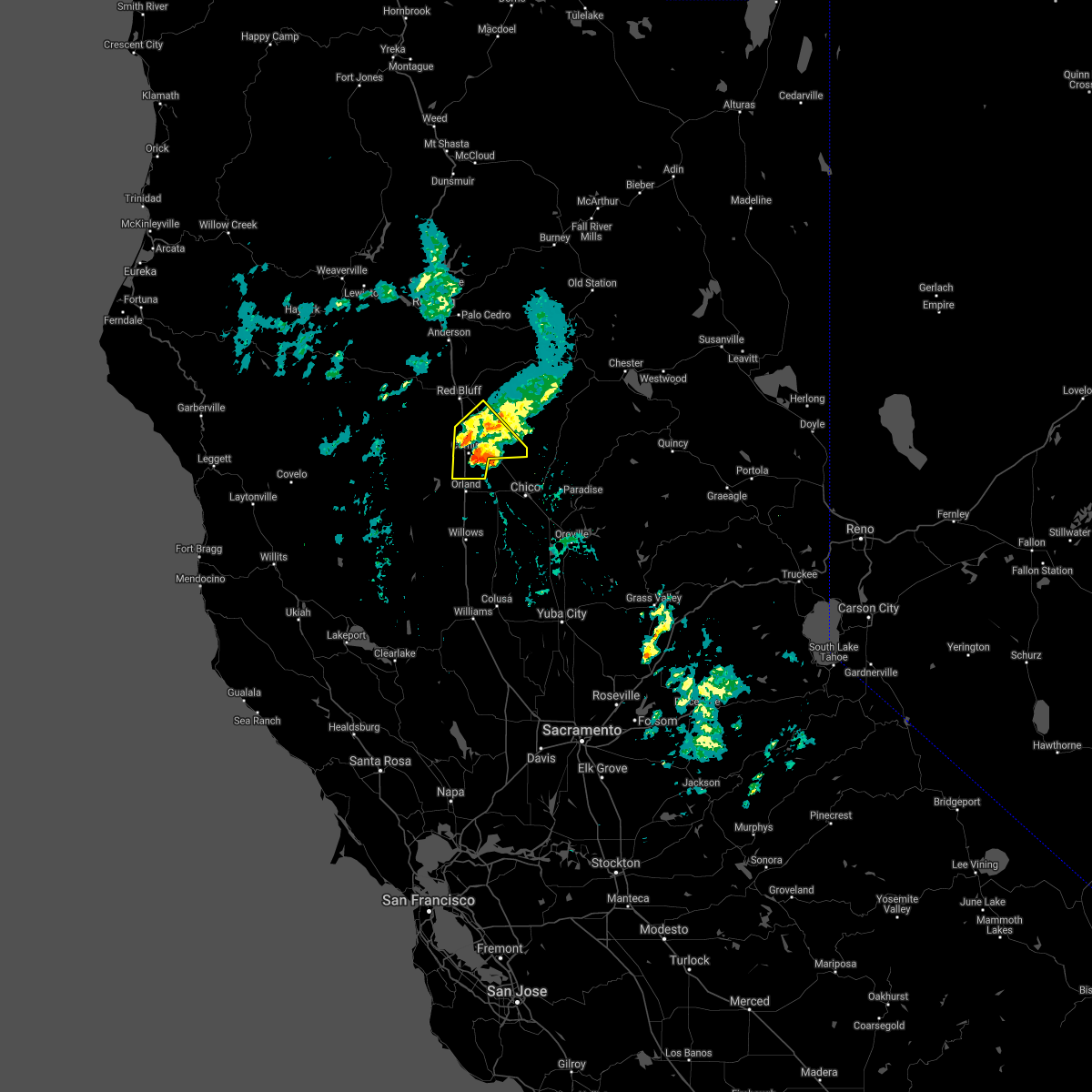 At 545 pm pdt, a severe thunderstorm was located near corning, moving northeast at 15 mph (radar indicated). Hazards include quarter size hail. signicant hail accumulations of several inches possible along highway 99 near los molinos and near corning. Damage to agriculture and hazardous driving. Locations impacted include, corning, tehama, richfield, gerber-las flores, vina and los molinos. At 545 pm pdt, a severe thunderstorm was located near corning, moving northeast at 15 mph (radar indicated). Hazards include quarter size hail. signicant hail accumulations of several inches possible along highway 99 near los molinos and near corning. Damage to agriculture and hazardous driving. Locations impacted include, corning, tehama, richfield, gerber-las flores, vina and los molinos.
|
| 4/25/2021 5:14 PM PDT |
 At 511 pm pdt, a severe thunderstorm was located near los molinos, or 10 miles northeast of corning, moving northeast at 20 mph (radar indicated). Hazards include quarter size hail. signicant hail accumulations of several inches possible along highway 99 near los molinos. damage to agriculture and hazardous driving At 511 pm pdt, a severe thunderstorm was located near los molinos, or 10 miles northeast of corning, moving northeast at 20 mph (radar indicated). Hazards include quarter size hail. signicant hail accumulations of several inches possible along highway 99 near los molinos. damage to agriculture and hazardous driving
|
| 8/10/2019 12:50 PM PDT | Ping Pong Ball sized hail reported 11.3 miles NE of Corning, CA, hail up to 1.5 inch diameter on north side of black butte lake near buck horn campground. time estimated by radar. |
| 8/10/2019 12:48 PM PDT |
 At 1247 pm pdt, a severe thunderstorm was located 8 miles northwest of orland, moving east at 25 mph (radar indicated). Hazards include 50 mph wind gusts and quarter size hail. hail damage to vehicles and possible wind damage to trees At 1247 pm pdt, a severe thunderstorm was located 8 miles northwest of orland, moving east at 25 mph (radar indicated). Hazards include 50 mph wind gusts and quarter size hail. hail damage to vehicles and possible wind damage to trees
|
| 1/23/2016 4:47 PM PST |
 At 444 pm pst, doppler radar continues to indicate a severe thunderstorm capable of producing large amounts of hail up to quarter size. this storm was located near corning, and moving south at 12 mph. At 444 pm pst, doppler radar continues to indicate a severe thunderstorm capable of producing large amounts of hail up to quarter size. this storm was located near corning, and moving south at 12 mph.
|
| 1/23/2016 4:30 PM PST | Quarter sized hail reported 1 miles WSW of Corning, CA, hail fell to 2 to 3 inches deep in corning... clogging storm drains and causing local flooding. the largest hailstones were quarter size. |
| 1/23/2016 4:21 PM PST |
 At 415 pm pst, trained weather spotters reported a severe thunderstorm producing large amounts of small hail and heavy rain along i5. hail up to an inch in size is possible. this storm was located over richfield and corning, moving south at 10 mph. locations impacted include, corning and richfield and nearby portions of i5. At 415 pm pst, trained weather spotters reported a severe thunderstorm producing large amounts of small hail and heavy rain along i5. hail up to an inch in size is possible. this storm was located over richfield and corning, moving south at 10 mph. locations impacted include, corning and richfield and nearby portions of i5.
|
| 1/23/2016 3:51 PM PST |
 At 349 pm pst, trained weather spotters reported a severe thunderstorm producing deep hail on i5. this storm was located over richfield, or near corning, and moving south at 9 mph. At 349 pm pst, trained weather spotters reported a severe thunderstorm producing deep hail on i5. this storm was located over richfield, or near corning, and moving south at 9 mph.
|
Hail Maps for Corning, CA
Connect with Interactive Hail Maps