

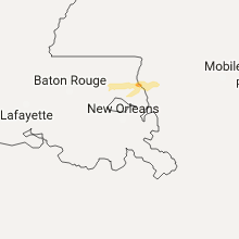
Hail Map for Tuesday, December 13, 2016

Number of Impacted Households on 12/13/2016
0
Impacted by 1" or Larger Hail
0
Impacted by 1.75" or Larger Hail
0
Impacted by 2.5" or Larger Hail
Square Miles of Populated Area Impacted on 12/13/2016
0
Impacted by 1" or Larger Hail
0
Impacted by 1.75" or Larger Hail
0
Impacted by 2.5" or Larger Hail
Cities Most Affected by Hail Storms of 12/13/2016
| Hail Size | Demographics of Zip Codes Affected | ||||||
|---|---|---|---|---|---|---|---|
| City | Count | Average | Largest | Pop Density | House Value | Income | Age |
Hail and Wind Damage Spotted on 12/13/2016
Filter by Report Type:Hail ReportsWind Reports
Georgia
| Local Time | Report Details |
|---|---|
| 2:30 PM EST | Seminole county dispatch reports several trees down along highway 3 in seminole county GA, 49.1 miles NW of Tallahassee, FL |
Mississippi
| Local Time | Report Details |
|---|---|
| 3:21 PM CST | Roof damage to a structure along bell creek road near the harrison/hancock county line... possible tornado. time estimated by rada in harrison county MS, 58.4 miles NE of New Orleans, LA |
Connect with Interactive Hail Maps