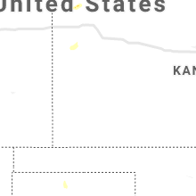
Hail Map for Monday, March 30, 2020

Number of Impacted Households on 3/30/2020
0
Impacted by 1" or Larger Hail
0
Impacted by 1.75" or Larger Hail
0
Impacted by 2.5" or Larger Hail
Square Miles of Populated Area Impacted on 3/30/2020
0
Impacted by 1" or Larger Hail
0
Impacted by 1.75" or Larger Hail
0
Impacted by 2.5" or Larger Hail
Regions Impacted by Hail on 3/30/2020
Cities Most Affected by Hail Storms of 3/30/2020
| Hail Size | Demographics of Zip Codes Affected | ||||||
|---|---|---|---|---|---|---|---|
| City | Count | Average | Largest | Pop Density | House Value | Income | Age |
Hail and Wind Damage Spotted on 3/30/2020
Filter by Report Type:Hail ReportsWind Reports
States Impacted
WashingtonWashington
| Local Time | Report Details |
|---|---|
| 11:33 AM PDT | Report via social media of tree downed on house on indian trail road in north spokane. exact location unknown. time estimated by rada in spokane county WA, 5.9 miles NNW of Spokane, WA |
| 11:56 AM PDT | Report of downed trees and powerlines on green road in the diamond lake are in pend oreille county WA, 33.9 miles NNE of Spokane, WA |


Connect with Interactive Hail Maps