

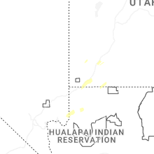
Hail Map for Thursday, October 17, 2024

Number of Impacted Households on 10/17/2024
0
Impacted by 1" or Larger Hail
0
Impacted by 1.75" or Larger Hail
0
Impacted by 2.5" or Larger Hail
Square Miles of Populated Area Impacted on 10/17/2024
0
Impacted by 1" or Larger Hail
0
Impacted by 1.75" or Larger Hail
0
Impacted by 2.5" or Larger Hail
Cities Most Affected by Hail Storms of 10/17/2024
| Hail Size | Demographics of Zip Codes Affected | ||||||
|---|---|---|---|---|---|---|---|
| City | Count | Average | Largest | Pop Density | House Value | Income | Age |
Hail and Wind Damage Spotted on 10/17/2024
Filter by Report Type:Hail ReportsWind Reports
States Impacted
UtahUtah
| Local Time | Report Details |
|---|---|
| 1:10 AM MDT | Mesonet station pc475 ash cree in washington county UT, 20.4 miles NE of Saint George, UT |
| 1:10 AM MDT | Mesonet station utbro i-15 at mp 29 brows in washington county UT, 20.9 miles NE of Saint George, UT |
Connect with Interactive Hail Maps