

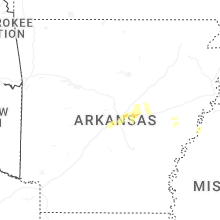
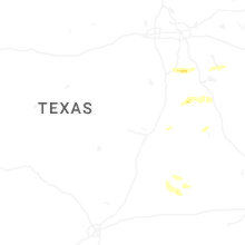
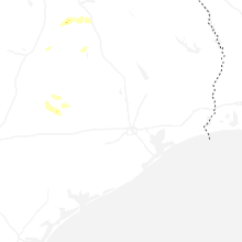
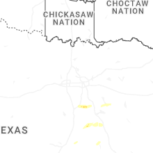
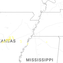
Hail Map for Wednesday, March 12, 2025

Number of Impacted Households on 3/12/2025
0
Impacted by 1" or Larger Hail
0
Impacted by 1.75" or Larger Hail
0
Impacted by 2.5" or Larger Hail
Square Miles of Populated Area Impacted on 3/12/2025
0
Impacted by 1" or Larger Hail
0
Impacted by 1.75" or Larger Hail
0
Impacted by 2.5" or Larger Hail
Cities Most Affected by Hail Storms of 3/12/2025
| Hail Size | Demographics of Zip Codes Affected | ||||||
|---|---|---|---|---|---|---|---|
| City | Count | Average | Largest | Pop Density | House Value | Income | Age |
Hail and Wind Damage Spotted on 3/12/2025
Filter by Report Type:Hail ReportsWind Reports
California
| Local Time | Report Details |
|---|---|
| 2:20 PM PDT | Mesonet station pg784 lake driv in san mateo county CA, 36.6 miles WNW of San Jose, CA |
| 2:24 PM PDT | Spotter reported strong winds which caused the damage to their play structure. the secured top was blown off and over the fence... the first time it happened in 30 year in san mateo county CA, 38.8 miles WNW of San Jose, CA |
| 2:30 PM PDT | Mesonet station 180pg sweeney ridg in san mateo county CA, 36.7 miles WNW of San Jose, CA |
| 2:36 PM PDT | Weather station in pacifica reported a 61mph wind gus in san mateo county CA, 38.8 miles WNW of San Jose, CA |
| 3:30 PM PDT | Old coast tower mesone in monterey county CA, 70.2 miles S of San Jose, CA |
| 5:22 PM PDT | Tree blocking old foresthill road / sr4 in placer county CA, 19.8 miles NE of Citrus Heights, CA |
| 6:20 PM PDT | Large tree branch down on ranchita canyon rd near cross canyons r in san luis obispo county CA, 32.7 miles NNE of Los Osos, CA |
| 1:54 AM PDT | Mesonet station dw2363 saddle pea in los angeles county CA, 22.2 miles W of Los Angeles, CA |
| 2:01 AM PDT | Mesonet station cw2995 redondo beac in los angeles county CA, 14.9 miles SSW of Los Angeles, CA |
Arkansas
| Local Time | Report Details |
|---|---|
| 12:54 AM CDT | Quarter sized hail reported near Lonoke, AR, 21.5 miles E of Little Rock, AR |
Connect with Interactive Hail Maps