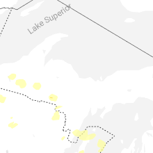
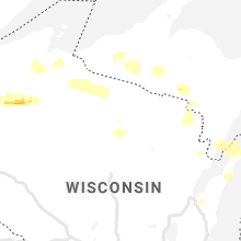
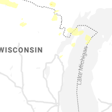
Hail Map for Monday, September 6, 2021

Number of Impacted Households on 9/6/2021
0
Impacted by 1" or Larger Hail
0
Impacted by 1.75" or Larger Hail
0
Impacted by 2.5" or Larger Hail
Square Miles of Populated Area Impacted on 9/6/2021
0
Impacted by 1" or Larger Hail
0
Impacted by 1.75" or Larger Hail
0
Impacted by 2.5" or Larger Hail
Regions Impacted by Hail on 9/6/2021
Cities Most Affected by Hail Storms of 9/6/2021
| Hail Size | Demographics of Zip Codes Affected | ||||||
|---|---|---|---|---|---|---|---|
| City | Count | Average | Largest | Pop Density | House Value | Income | Age |
Hail and Wind Damage Spotted on 9/6/2021
Filter by Report Type:Hail ReportsWind Reports
New York
| Local Time | Report Details |
|---|---|
| 9:56 AM EDT | Social media report of several trees and power lines dow in oswego county NY, 40.8 miles N of Syracuse, NY |
| 10:15 AM EDT | Roof damage to a barn and several trees dow in jefferson county NY, 44.5 miles N of Syracuse, NY |
| 11:15 AM EDT | Tree blocking partridge hill road in herkimer county NY, 52.8 miles ENE of Syracuse, NY |
| 11:24 AM EDT | Large tree limb down in herkimer county NY, 56.4 miles ENE of Syracuse, NY |
| 11:30 AM EDT | Downed tree blocking rte 169 between parkhurst rd and davis r in herkimer county NY, 55.9 miles WNW of Schenectady, NY |
Texas
| Local Time | Report Details |
|---|---|
| 2:30 PM CDT | Roof damage at the full moon saloon at intersection of sh 123 and fm 1978. time estimated via rada in guadalupe county TX, 42.2 miles NE of San Antonio, TX |
| 3:20 PM CDT | Multiple tree branches down across the city of bastrop. various branches measuring 2 to 5 inches in diamete in bastrop county TX, 73.1 miles SSE of Killeen, TX |
Maine
| Local Time | Report Details |
|---|---|
| 4:33 PM EDT | Numerous trees down near 100 school roa in androscoggin county ME, 34 miles NNE of Portland, ME |
| 4:39 PM EDT | Power pole snapped along with downed trees in the vicinity of andrea stree in sagadahoc county ME, 24.1 miles NNE of Portland, ME |
| 4:39 PM EDT | Numerous trees down on wires... homes... and vehicles east side of topsha in sagadahoc county ME, 24.8 miles NE of Portland, ME |
| 4:40 PM EDT | Large tree down on a house on route 196 in topsham. time estimated based on rada in sagadahoc county ME, 24.2 miles NE of Portland, ME |
| 4:40 PM EDT | Large tree down on wires on route 201 in topsham. time estimated based on rada in sagadahoc county ME, 26.1 miles NE of Portland, ME |
| 4:45 PM EDT | Trees and powerlines dow in sagadahoc county ME, 29.8 miles NNE of Portland, ME |
| 5:10 PM EDT | Trees and power lines dow in somerset county ME, 30 miles W of Bangor, ME |
| 5:18 PM EDT | Trees and power lines down. report from penobscot county rcc. time estimated based on rada in penobscot county ME, 20.9 miles WSW of Bangor, ME |
| 5:40 PM EDT | A large pine tree fell on a vehicle in glenburn. time estimate in penobscot county ME, 8.4 miles NNW of Bangor, ME |
| 5:45 PM EDT | Trees down on powerlines. the report was received via facebook. time estimated based on radar. power still out as of 10 p in penobscot county ME, 11.8 miles NW of Bangor, ME |
| 5:48 PM EDT | Trees and power lines down. report from penobscot county rcc. time estimated based on rada in penobscot county ME, 8.4 miles NNW of Bangor, ME |
New Mexico
| Local Time | Report Details |
|---|---|
| 6:12 PM MDT | Quarter sized hail reported near Clayton, NM, 105.7 miles NNE of Tucumcari, NM |
Michigan
| Local Time | Report Details |
|---|---|
| 4:25 AM EDT | Pictures received via social media showing power out throughout the village of lanse. time estimated by rada in baraga county MI, 51.5 miles WNW of Marquette, MI |


Connect with Interactive Hail Maps