| 5/25/2019 4:25 PM PDT |
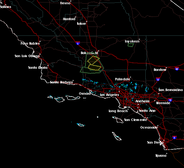 At 403 pm pdt, a severe thunderstorm was located about 7 miles north of mount pinos, or around 31 miles south of bakersfield, moving to the southeast near 20 mph (radar indicated). Hazards include quarter size hail. Damage to vehicles is expected. This severe thunderstorm will remain over mainly rural areas of southwestern kern county, including the following locations, pine mountain club. At 403 pm pdt, a severe thunderstorm was located about 7 miles north of mount pinos, or around 31 miles south of bakersfield, moving to the southeast near 20 mph (radar indicated). Hazards include quarter size hail. Damage to vehicles is expected. This severe thunderstorm will remain over mainly rural areas of southwestern kern county, including the following locations, pine mountain club.
|
| 5/25/2019 4:04 PM PDT |
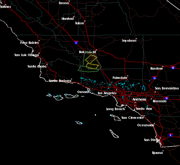 At 403 pm pdt, a severe thunderstorm was located about 7 miles north of mount pinos, or around 31 miles south of bakersfield, moving to the southeast near 20 mph (radar indicated). Hazards include quarter size hail. Damage to vehicles is expected. This severe thunderstorm will remain over mainly rural areas of southwestern kern county, including the following locations, pine mountain club. At 403 pm pdt, a severe thunderstorm was located about 7 miles north of mount pinos, or around 31 miles south of bakersfield, moving to the southeast near 20 mph (radar indicated). Hazards include quarter size hail. Damage to vehicles is expected. This severe thunderstorm will remain over mainly rural areas of southwestern kern county, including the following locations, pine mountain club.
|
| 7/30/2015 3:42 PM PDT |
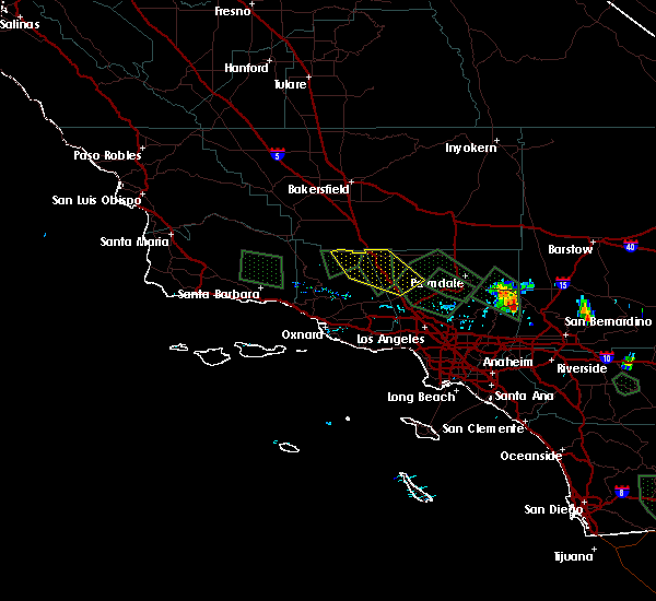 At 336 pm pdt, doppler radar continued to indicate a cluster of severe thunderstorms capable of producing quarter size hail and damaging winds in excess of 60 mph. these storms were between castaic lake and eastern lockwood valley and were moving northwest at about 15 mph. the strongest storm at this moment is located near pyramid lake. in addition to large hail and strong winds, these storms will also produce very heavy rain and frequent lightning. locations impacted include, eastern lockwood valley, gorman, pyramid lake, interstate 5 over the grapevine, castaic lake, and lake lake piru. At 336 pm pdt, doppler radar continued to indicate a cluster of severe thunderstorms capable of producing quarter size hail and damaging winds in excess of 60 mph. these storms were between castaic lake and eastern lockwood valley and were moving northwest at about 15 mph. the strongest storm at this moment is located near pyramid lake. in addition to large hail and strong winds, these storms will also produce very heavy rain and frequent lightning. locations impacted include, eastern lockwood valley, gorman, pyramid lake, interstate 5 over the grapevine, castaic lake, and lake lake piru.
|
| 7/30/2015 3:12 PM PDT |
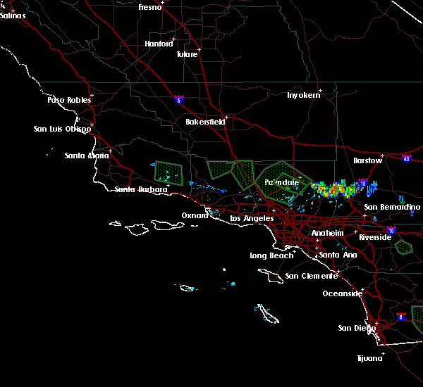 At 259 pm pdt, doppler radar indicated a cluster of severe thunderstorms capable of producing quarter size hail, damaging winds in excess of 60 mph, and frequent lightning. these storms were located between santa clarita and lockwood valley and were moving northwest around 15 mph. At 259 pm pdt, doppler radar indicated a cluster of severe thunderstorms capable of producing quarter size hail, damaging winds in excess of 60 mph, and frequent lightning. these storms were located between santa clarita and lockwood valley and were moving northwest around 15 mph.
|


Connect with Interactive Hail Maps