| 1/3/2025 5:56 PM PST |
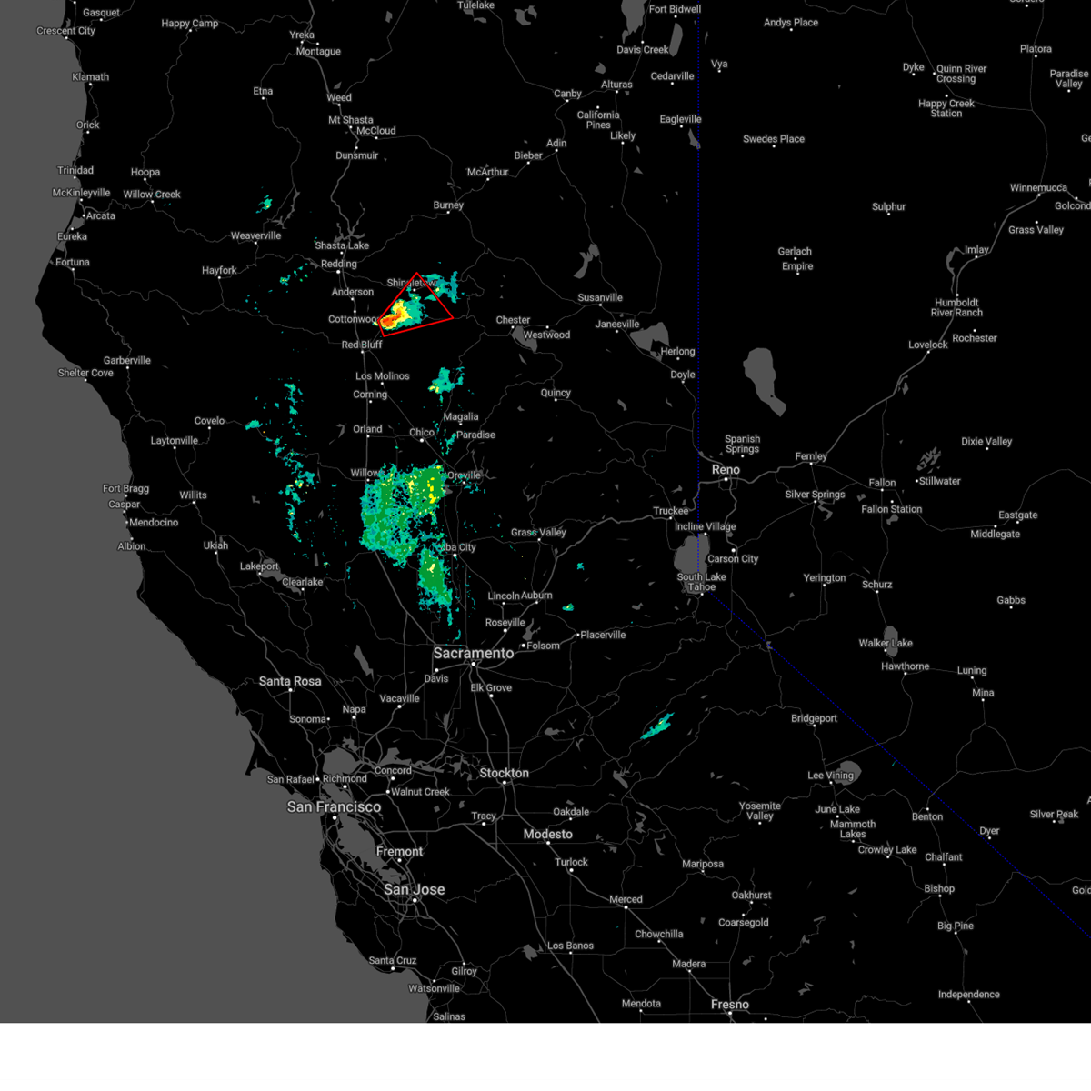 The storm which prompted the warning has weakened below severe limits, and no longer appears capable of producing a tornado. therefore, the warning will be allowed to expire. however small hail and heavy rain are still possible with this thunderstorm. The storm which prompted the warning has weakened below severe limits, and no longer appears capable of producing a tornado. therefore, the warning will be allowed to expire. however small hail and heavy rain are still possible with this thunderstorm.
|
| 1/3/2025 5:22 PM PST |
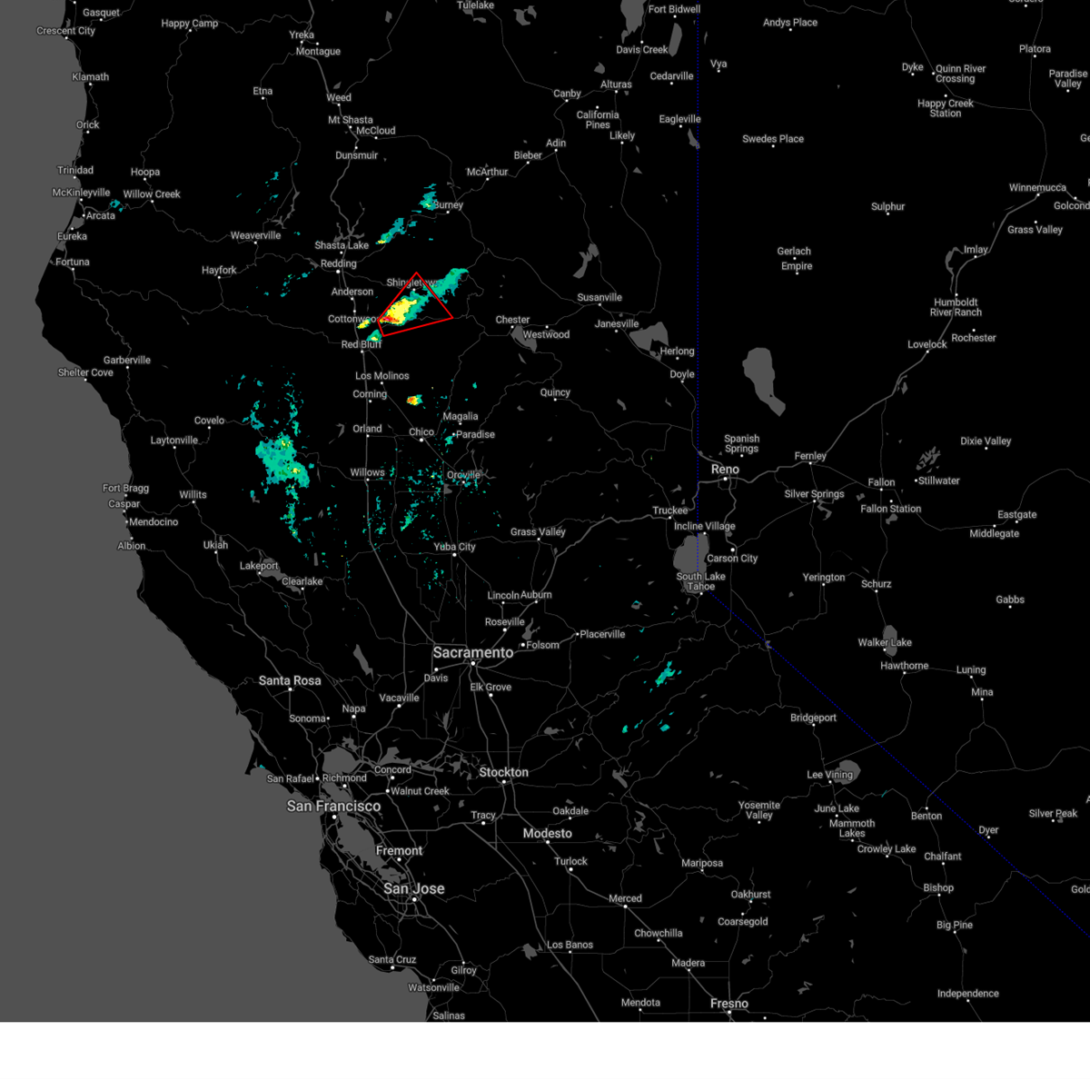 Torsto the national weather service in sacramento has issued a * tornado warning for, north central tehama county in northern california, south central shasta county in northern california, * until 600 pm pst. * at 522 pm pst, a confirmed tornado was located near paynes creek, or 11 miles southwest of shingletown, moving northeast at 20 mph (weather spotters confirmed tornado). Hazards include damaging tornado and quarter size hail. Flying debris will be dangerous to those caught without shelter. mobile homes will be damaged or destroyed. damage to roofs, windows, and vehicles will occur. tree damage is likely. the tornado will be near, manton and paynes creek around 525 pm pst. Shingletown around 540 pm pst. Torsto the national weather service in sacramento has issued a * tornado warning for, north central tehama county in northern california, south central shasta county in northern california, * until 600 pm pst. * at 522 pm pst, a confirmed tornado was located near paynes creek, or 11 miles southwest of shingletown, moving northeast at 20 mph (weather spotters confirmed tornado). Hazards include damaging tornado and quarter size hail. Flying debris will be dangerous to those caught without shelter. mobile homes will be damaged or destroyed. damage to roofs, windows, and vehicles will occur. tree damage is likely. the tornado will be near, manton and paynes creek around 525 pm pst. Shingletown around 540 pm pst.
|
| 1/13/2016 2:31 PM PST |
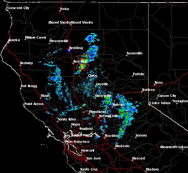 At 229 pm pst, doppler radar indicated a severe thunderstorm capable of producing a tornado. this dangerous storm was located north of paynes creek, or west of manton, moving east at 20 to 30 mph. locations impacted include, paynes creek and manton. radar shows this storm has weakened, but still should be considered dangerous through 245 pm. At 229 pm pst, doppler radar indicated a severe thunderstorm capable of producing a tornado. this dangerous storm was located north of paynes creek, or west of manton, moving east at 20 to 30 mph. locations impacted include, paynes creek and manton. radar shows this storm has weakened, but still should be considered dangerous through 245 pm.
|
| 1/13/2016 2:18 PM PST |
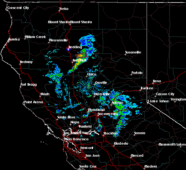 At 217 pm pst, doppler radar indicated a severe thunderstorm capable of producing a tornado. this dangerous storm was located near paynes creek, or 12 miles southwest of shingletown, and moving east at 30 mph. At 217 pm pst, doppler radar indicated a severe thunderstorm capable of producing a tornado. this dangerous storm was located near paynes creek, or 12 miles southwest of shingletown, and moving east at 30 mph.
|
| 7/8/2015 3:05 PM PDT |
 At 301 pm pdt, doppler radar indicated a possible severe thunderstorm capable of producing quarter size hail and damaging winds in excess of 60 mph. this storm was located about 9 miles northwest of chester, moving west at 20 mph towards mineral. the original cell near mineral which prompted the initial warning has weakened. earlier the public reported nickel size hail with this cell. locations impacted include, mineral, shingletown, manzanita lake, viola, lassen national park, lyonsville and manton. At 301 pm pdt, doppler radar indicated a possible severe thunderstorm capable of producing quarter size hail and damaging winds in excess of 60 mph. this storm was located about 9 miles northwest of chester, moving west at 20 mph towards mineral. the original cell near mineral which prompted the initial warning has weakened. earlier the public reported nickel size hail with this cell. locations impacted include, mineral, shingletown, manzanita lake, viola, lassen national park, lyonsville and manton.
|
| 7/8/2015 2:54 PM PDT |
 At 251 pm pdt, doppler radar indicated a severe thunderstorm capable of producing quarter size hail and damaging winds in excess of 60 mph. this storm was located near lyonsville, and mineral, moving to the west at 15 mph. in addition, at 235 pm, the public reported nickel size hail near mineral. locations impacted include, mineral, shingletown, manzanita lake, viola, lassen national park, lyonsville and manton. At 251 pm pdt, doppler radar indicated a severe thunderstorm capable of producing quarter size hail and damaging winds in excess of 60 mph. this storm was located near lyonsville, and mineral, moving to the west at 15 mph. in addition, at 235 pm, the public reported nickel size hail near mineral. locations impacted include, mineral, shingletown, manzanita lake, viola, lassen national park, lyonsville and manton.
|
| 7/8/2015 2:33 PM PDT |
 At 232 pm pdt, doppler radar indicated a severe thunderstorm capable of producing quarter size hail and damaging winds in excess of 60 mph. this storm was located near mineral, and moving west at 15 mph. At 232 pm pdt, doppler radar indicated a severe thunderstorm capable of producing quarter size hail and damaging winds in excess of 60 mph. this storm was located near mineral, and moving west at 15 mph.
|


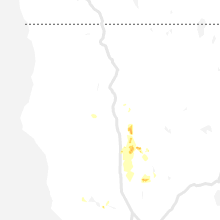
Connect with Interactive Hail Maps