

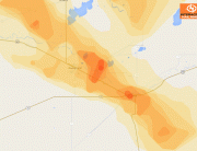
Hail Map for Cary, North Carolina July 6, 2012
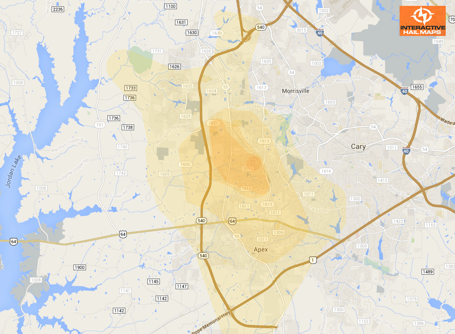
Here is the hail map for the hail that fell near Cary, NC on July 6, 2012. The green marker is quarter size hail reported and the blue marker is golfball hail reported. Use Interactive Hail Maps to find hail storms throughout the US.
Cities Most Affected by Hail Storms of 7/6/2012
| Hail Size | Demographics of Zip Codes Affected | ||||||
|---|---|---|---|---|---|---|---|
| City | Count | Average | Largest | Pop Density | House Value | Income | Age |
| Cary, NC | 1 | 1.75 | 1.75 | 2075 | $0k | $0.0k | 35.0 |
| Lagrange, GA | 1 | 1.75 | 1.75 | 213 | $76k | $31.7k | 35.0 |

Connect with Interactive Hail Maps