| 6/25/2024 5:18 PM MDT |
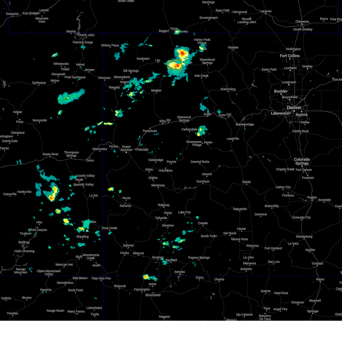 At 518 pm mdt, a severe thunderstorm was located near craig, moving east at 25 mph (radar indicated). Hazards include 60 mph wind gusts. Expect damage to roofs, siding, and trees. Locations impacted include, craig. At 518 pm mdt, a severe thunderstorm was located near craig, moving east at 25 mph (radar indicated). Hazards include 60 mph wind gusts. Expect damage to roofs, siding, and trees. Locations impacted include, craig.
|
| 6/25/2024 5:05 PM MDT |
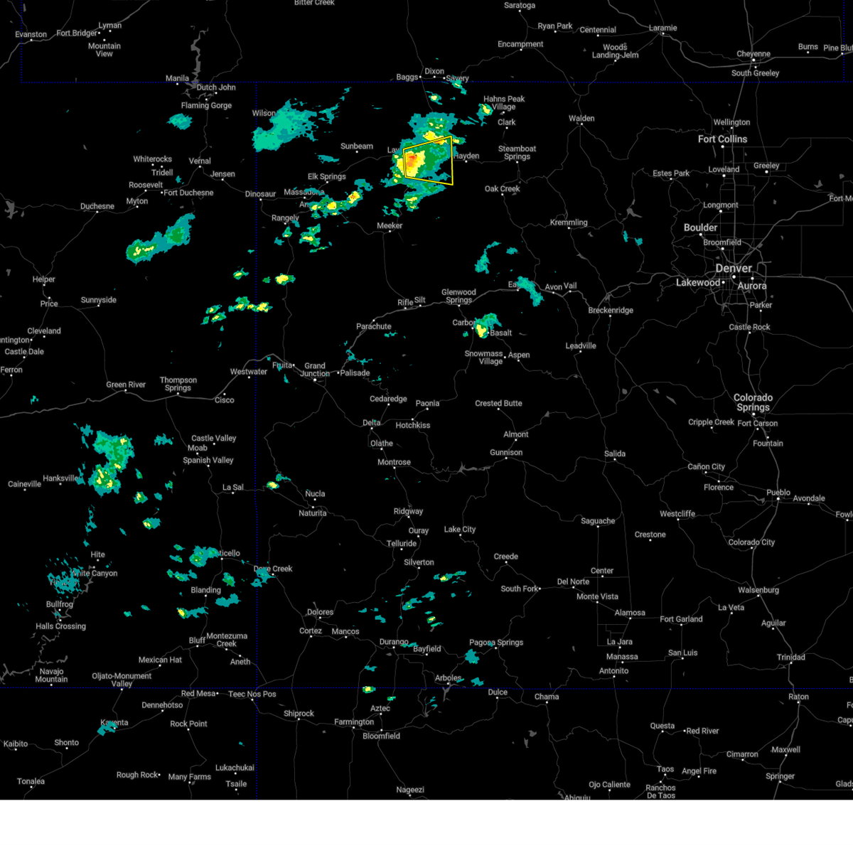 Svrgjt the national weather service in grand junction has issued a * severe thunderstorm warning for, west central routt county in northwestern colorado, southeastern moffat county in northwestern colorado, * until 530 pm mdt. * at 505 pm mdt, a severe thunderstorm was located 7 miles west of craig, moving east at 25 mph (radar indicated). Hazards include 60 mph wind gusts. expect damage to roofs, siding, and trees Svrgjt the national weather service in grand junction has issued a * severe thunderstorm warning for, west central routt county in northwestern colorado, southeastern moffat county in northwestern colorado, * until 530 pm mdt. * at 505 pm mdt, a severe thunderstorm was located 7 miles west of craig, moving east at 25 mph (radar indicated). Hazards include 60 mph wind gusts. expect damage to roofs, siding, and trees
|
| 6/21/2024 6:30 PM MDT |
4 inch limbs and smaller branches downed. vendor tents blown away and porta potties blown down during whittle the wood event as reported on social medi in moffat county CO, 0.1 miles SSW of Craig, CO
|
| 6/21/2024 6:19 PM MDT |
Direction was wes in moffat county CO, 2.5 miles NW of Craig, CO
|
| 8/2/2023 9:08 PM MDT |
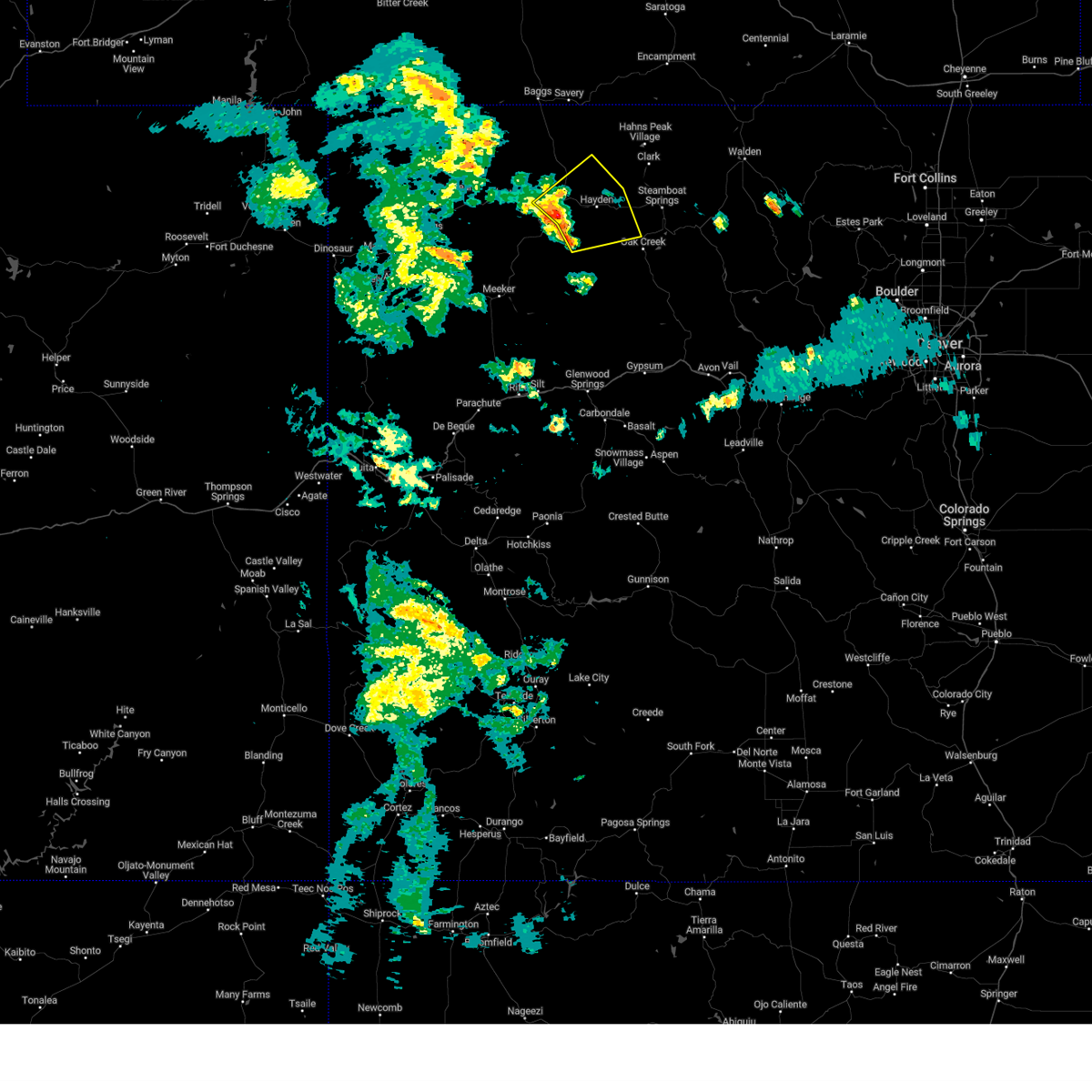 At 907 pm mdt, severe thunderstorms were located along a line extending from craig to 11 miles west of hayden, moving northeast at 20 mph (radar indicated). Hazards include 60 mph wind gusts and penny size hail. expect damage to roofs, siding, and trees At 907 pm mdt, severe thunderstorms were located along a line extending from craig to 11 miles west of hayden, moving northeast at 20 mph (radar indicated). Hazards include 60 mph wind gusts and penny size hail. expect damage to roofs, siding, and trees
|
| 7/24/2023 2:58 PM MDT |
Asos station kcag craig-moffat county airpor in moffat county CO, 2.1 miles NW of Craig, CO
|
| 8/6/2021 5:01 PM MDT |
Asos station kcag craig-moffat county airpor in moffat county CO, 2.1 miles NW of Craig, CO
|
| 8/6/2021 2:28 PM MDT |
Asos station kcag craig-moffat county airpor in moffat county CO, 2.1 miles NW of Craig, CO
|
| 8/6/2021 12:57 PM MDT |
Asos station kcag craig-moffat county airpor in moffat county CO, 2.1 miles NW of Craig, CO
|
| 8/29/2020 3:54 PM MDT |
Asos station kcag craig-moffat county airpor in moffat county CO, 2.1 miles NW of Craig, CO
|
| 6/6/2020 1:46 PM MDT |
Mesonet station gdrc2 great divide 2s in moffat county CO, 22.9 miles SE of Craig, CO
|
| 6/6/2020 1:28 PM MDT |
 At 126 pm mdt, severe thunderstorms were located along a line extending from 13 miles northwest of craig to 18 miles southwest of hayden to 22 miles north of glenwood springs, moving northeast at 65 mph (radar indicated). Hazards include 70 mph wind gusts. Expect considerable tree damage. Damage is likely to mobile homes, roofs, and outbuildings. At 126 pm mdt, severe thunderstorms were located along a line extending from 13 miles northwest of craig to 18 miles southwest of hayden to 22 miles north of glenwood springs, moving northeast at 65 mph (radar indicated). Hazards include 70 mph wind gusts. Expect considerable tree damage. Damage is likely to mobile homes, roofs, and outbuildings.
|
| 6/6/2020 1:22 PM MDT |
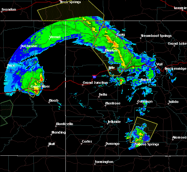 At 122 pm mdt, severe thunderstorms were located along a line extending from 12 miles northwest of craig to 21 miles southwest of hayden to 19 miles north of glenwood springs, moving northeast at 75 mph (radar indicated). Hazards include 70 mph wind gusts. Expect considerable tree damage. damage is likely to mobile homes, roofs, and outbuildings. locations impacted include, glenwood springs, craig, great divide, axial, lay, maybell, hamilton, loyd, juniper springs and buford. this includes the following highways, interstate 70 in colorado between mile markers 110 and 118. u. s. highway 40 in colorado between mile markers 58 and 94. colorado 13 between mile markers 52 and 93. colorado 82 near mile marker 1. Colorado 318 near mile marker 60. At 122 pm mdt, severe thunderstorms were located along a line extending from 12 miles northwest of craig to 21 miles southwest of hayden to 19 miles north of glenwood springs, moving northeast at 75 mph (radar indicated). Hazards include 70 mph wind gusts. Expect considerable tree damage. damage is likely to mobile homes, roofs, and outbuildings. locations impacted include, glenwood springs, craig, great divide, axial, lay, maybell, hamilton, loyd, juniper springs and buford. this includes the following highways, interstate 70 in colorado between mile markers 110 and 118. u. s. highway 40 in colorado between mile markers 58 and 94. colorado 13 between mile markers 52 and 93. colorado 82 near mile marker 1. Colorado 318 near mile marker 60.
|
| 6/6/2020 12:59 PM MDT |
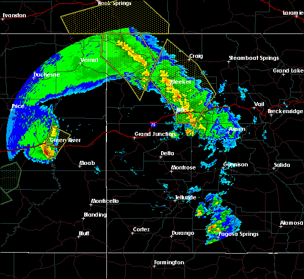 At 1258 pm mdt, severe thunderstorms were located along a line extending from 14 miles northwest of meeker to 21 miles northwest of new castle to 7 miles southeast of silt, moving northeast at 75 mph (radar indicated). Hazards include 70 mph wind gusts. Expect considerable tree damage. Damage is likely to mobile homes, roofs, and outbuildings. At 1258 pm mdt, severe thunderstorms were located along a line extending from 14 miles northwest of meeker to 21 miles northwest of new castle to 7 miles southeast of silt, moving northeast at 75 mph (radar indicated). Hazards include 70 mph wind gusts. Expect considerable tree damage. Damage is likely to mobile homes, roofs, and outbuildings.
|
| 9/17/2019 1:08 PM MDT |
Asos station kcag craig-moffat county airpor in moffat county CO, 2.1 miles NW of Craig, CO
|
| 8/30/2019 3:27 PM MDT |
Storm damage reported in moffat county CO, 0.7 miles NE of Craig, CO
|
| 8/7/2019 3:52 PM MDT |
Quarter sized hail reported 33.7 miles S of Craig, CO, hail accumulation between 3 and 5 inches on the ground
|
| 10/4/2018 11:54 AM MDT |
 At 1153 am mdt, a severe thunderstorm was located near hayden, or 12 miles east of craig, moving northeast at 45 mph (numerous public reports of 60 mph winds have been reported across western colorado with these thunderstorms). Hazards include 60 mph wind gusts. Expect damage to roofs, siding, and trees. locations impacted include, craig and hayden. this includes the following highways, u. s. highway 40 in colorado between mile markers 86 and 116. Colorado 13 between mile markers 87 and 105. At 1153 am mdt, a severe thunderstorm was located near hayden, or 12 miles east of craig, moving northeast at 45 mph (numerous public reports of 60 mph winds have been reported across western colorado with these thunderstorms). Hazards include 60 mph wind gusts. Expect damage to roofs, siding, and trees. locations impacted include, craig and hayden. this includes the following highways, u. s. highway 40 in colorado between mile markers 86 and 116. Colorado 13 between mile markers 87 and 105.
|
| 10/4/2018 11:35 AM MDT |
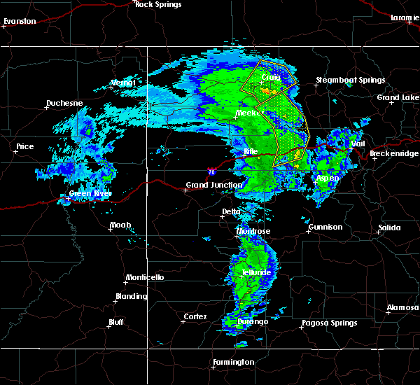 At 1134 am mdt, a severe thunderstorm was located near craig, moving northeast at 45 mph (numerous public reports of 60 mph winds have been reported across western colorado with these thunderstorms). Hazards include 60 mph wind gusts. expect damage to roofs, siding, and trees At 1134 am mdt, a severe thunderstorm was located near craig, moving northeast at 45 mph (numerous public reports of 60 mph winds have been reported across western colorado with these thunderstorms). Hazards include 60 mph wind gusts. expect damage to roofs, siding, and trees
|
| 9/17/2018 3:09 PM MDT |
Asos station cag... craig-moffat county airpor in moffat county CO, 2.1 miles NW of Craig, CO
|
| 6/14/2018 10:36 PM MDT |
Measured gust to 50 mph. numerous moderate sized tree limbs down. some power lines reported down and one power transformer reported blow in moffat county CO, 0.7 miles NE of Craig, CO
|
| 6/5/2018 2:07 PM MDT |
Asos station cag... craig-moffat county airpor in moffat county CO, 2.1 miles NW of Craig, CO
|
| 8/9/2016 7:47 PM MDT |
. in moffat county CO, 2.1 miles NW of Craig, CO
|
| 6/23/2016 6:49 PM MDT |
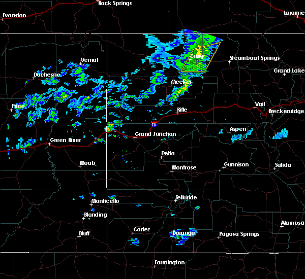 At 649 pm mdt, severe thunderstorms were located along a line extending from 13 miles north of hayden to 8 miles southeast of craig, moving east at 20 mph (trained weather spotters). Hazards include 60 to 70 mph wind gusts. Expect damage to roofs. siding. and trees. Locations impacted include, craig, hayden and hamilton. At 649 pm mdt, severe thunderstorms were located along a line extending from 13 miles north of hayden to 8 miles southeast of craig, moving east at 20 mph (trained weather spotters). Hazards include 60 to 70 mph wind gusts. Expect damage to roofs. siding. and trees. Locations impacted include, craig, hayden and hamilton.
|
| 6/23/2016 6:43 PM MDT |
20 feet long limb down with 3.5 inch diameter. 70 mph estimated wind gus in moffat county CO, 0.7 miles NE of Craig, CO
|
|
|
| 6/23/2016 6:37 PM MDT |
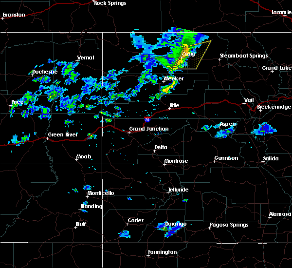 At 637 pm mdt, severe thunderstorms were located along a line extending from 14 miles northwest of hayden to 8 miles south of craig, moving east at 20 mph (radar indicated). Hazards include 60 mph wind gusts. Expect damage to roofs. siding. And trees. At 637 pm mdt, severe thunderstorms were located along a line extending from 14 miles northwest of hayden to 8 miles south of craig, moving east at 20 mph (radar indicated). Hazards include 60 mph wind gusts. Expect damage to roofs. siding. And trees.
|
| 6/23/2016 6:24 PM MDT |
Asos station craig - moffat county airport /cag in moffat county CO, 2.1 miles NW of Craig, CO
|
| 6/23/2016 6:15 PM MDT |
20 feet long limb down with 3.5 inch diameter. 70 mph estimated wind gus in moffat county CO, 0.7 miles NE of Craig, CO
|
| 4/17/2015 4:00 PM MDT |
Large shed picked up and blown onto highway 13 during a thunderstor in moffat county CO, 9.8 miles S of Craig, CO
|
| 4/23/2014 12:53 AM MDT |
Storm damage reported in moffat county CO, 1.2 miles WNW of Craig, CO
|
| 5/2/2012 6:12 PM MDT |
Peak gust from thunderstorm outflow in moffat county CO, 1.2 miles WNW of Craig, CO
|
 At 518 pm mdt, a severe thunderstorm was located near craig, moving east at 25 mph (radar indicated). Hazards include 60 mph wind gusts. Expect damage to roofs, siding, and trees. Locations impacted include, craig.
 Svrgjt the national weather service in grand junction has issued a * severe thunderstorm warning for, west central routt county in northwestern colorado, southeastern moffat county in northwestern colorado, * until 530 pm mdt. * at 505 pm mdt, a severe thunderstorm was located 7 miles west of craig, moving east at 25 mph (radar indicated). Hazards include 60 mph wind gusts. expect damage to roofs, siding, and trees
 At 907 pm mdt, severe thunderstorms were located along a line extending from craig to 11 miles west of hayden, moving northeast at 20 mph (radar indicated). Hazards include 60 mph wind gusts and penny size hail. expect damage to roofs, siding, and trees
 At 126 pm mdt, severe thunderstorms were located along a line extending from 13 miles northwest of craig to 18 miles southwest of hayden to 22 miles north of glenwood springs, moving northeast at 65 mph (radar indicated). Hazards include 70 mph wind gusts. Expect considerable tree damage. Damage is likely to mobile homes, roofs, and outbuildings.
 At 122 pm mdt, severe thunderstorms were located along a line extending from 12 miles northwest of craig to 21 miles southwest of hayden to 19 miles north of glenwood springs, moving northeast at 75 mph (radar indicated). Hazards include 70 mph wind gusts. Expect considerable tree damage. damage is likely to mobile homes, roofs, and outbuildings. locations impacted include, glenwood springs, craig, great divide, axial, lay, maybell, hamilton, loyd, juniper springs and buford. this includes the following highways, interstate 70 in colorado between mile markers 110 and 118. u. s. highway 40 in colorado between mile markers 58 and 94. colorado 13 between mile markers 52 and 93. colorado 82 near mile marker 1. Colorado 318 near mile marker 60.
 At 1258 pm mdt, severe thunderstorms were located along a line extending from 14 miles northwest of meeker to 21 miles northwest of new castle to 7 miles southeast of silt, moving northeast at 75 mph (radar indicated). Hazards include 70 mph wind gusts. Expect considerable tree damage. Damage is likely to mobile homes, roofs, and outbuildings.
 At 1153 am mdt, a severe thunderstorm was located near hayden, or 12 miles east of craig, moving northeast at 45 mph (numerous public reports of 60 mph winds have been reported across western colorado with these thunderstorms). Hazards include 60 mph wind gusts. Expect damage to roofs, siding, and trees. locations impacted include, craig and hayden. this includes the following highways, u. s. highway 40 in colorado between mile markers 86 and 116. Colorado 13 between mile markers 87 and 105.
 At 1134 am mdt, a severe thunderstorm was located near craig, moving northeast at 45 mph (numerous public reports of 60 mph winds have been reported across western colorado with these thunderstorms). Hazards include 60 mph wind gusts. expect damage to roofs, siding, and trees
 At 649 pm mdt, severe thunderstorms were located along a line extending from 13 miles north of hayden to 8 miles southeast of craig, moving east at 20 mph (trained weather spotters). Hazards include 60 to 70 mph wind gusts. Expect damage to roofs. siding. and trees. Locations impacted include, craig, hayden and hamilton.
 At 637 pm mdt, severe thunderstorms were located along a line extending from 14 miles northwest of hayden to 8 miles south of craig, moving east at 20 mph (radar indicated). Hazards include 60 mph wind gusts. Expect damage to roofs. siding. And trees.


Connect with Interactive Hail Maps