

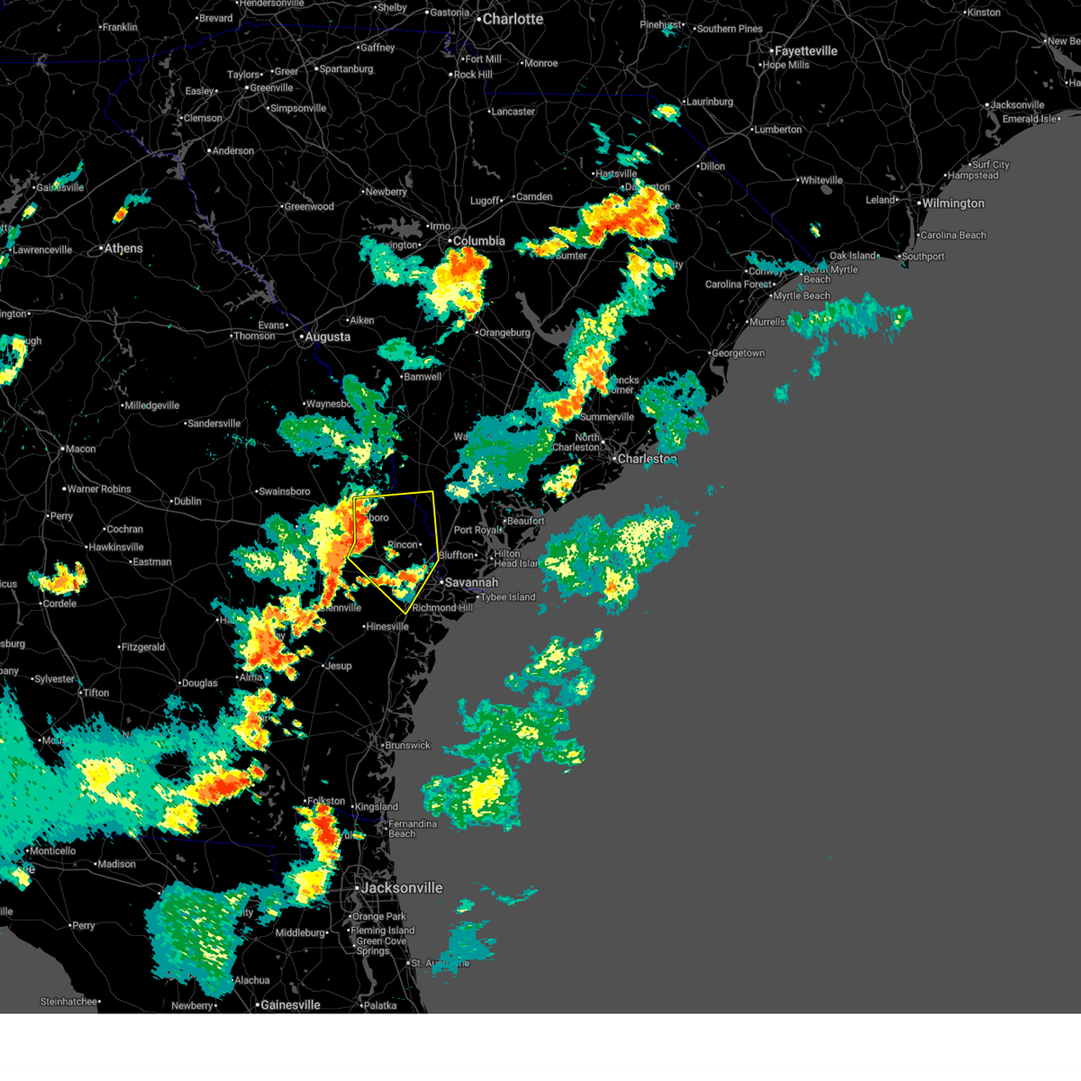
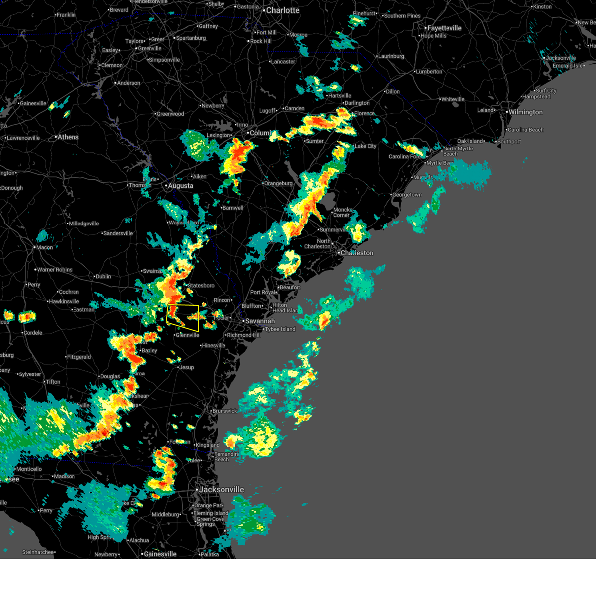
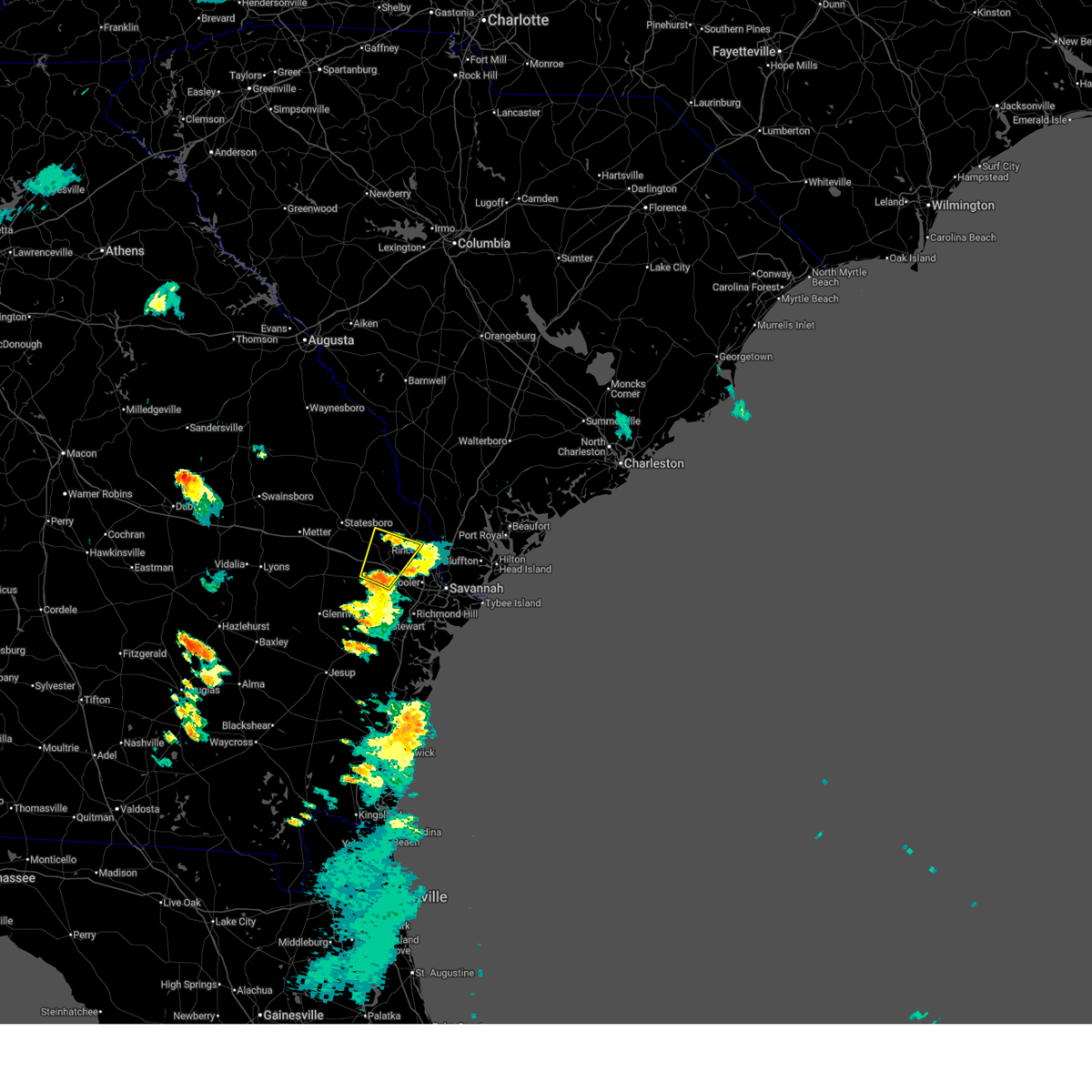
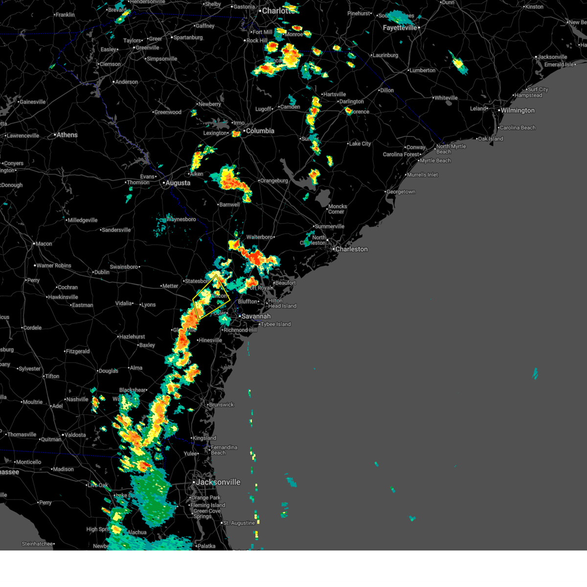
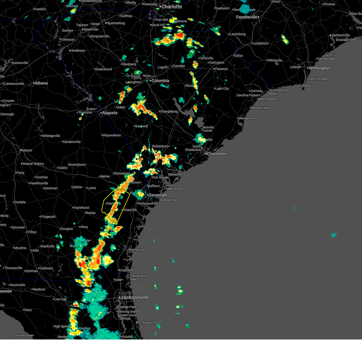
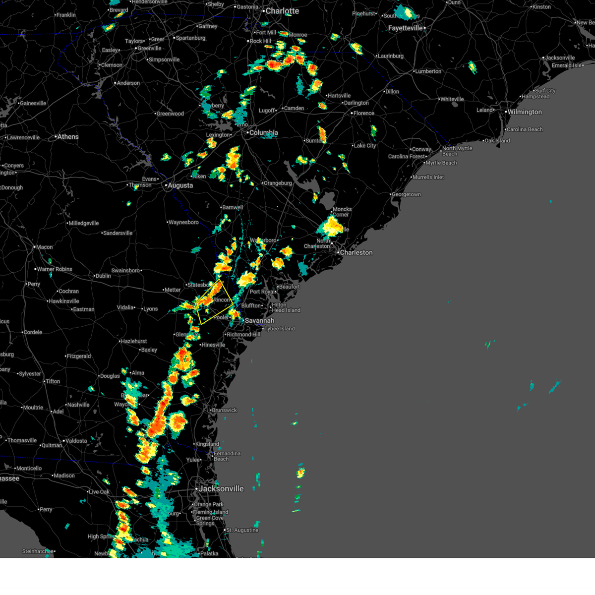
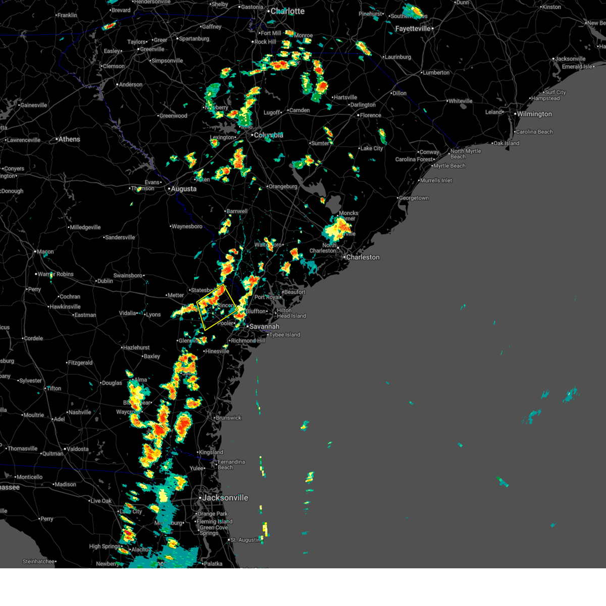
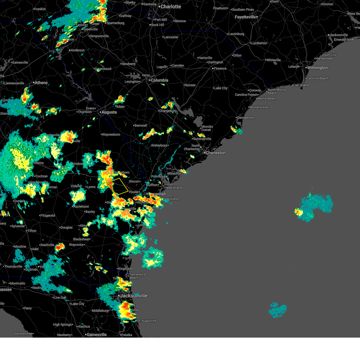
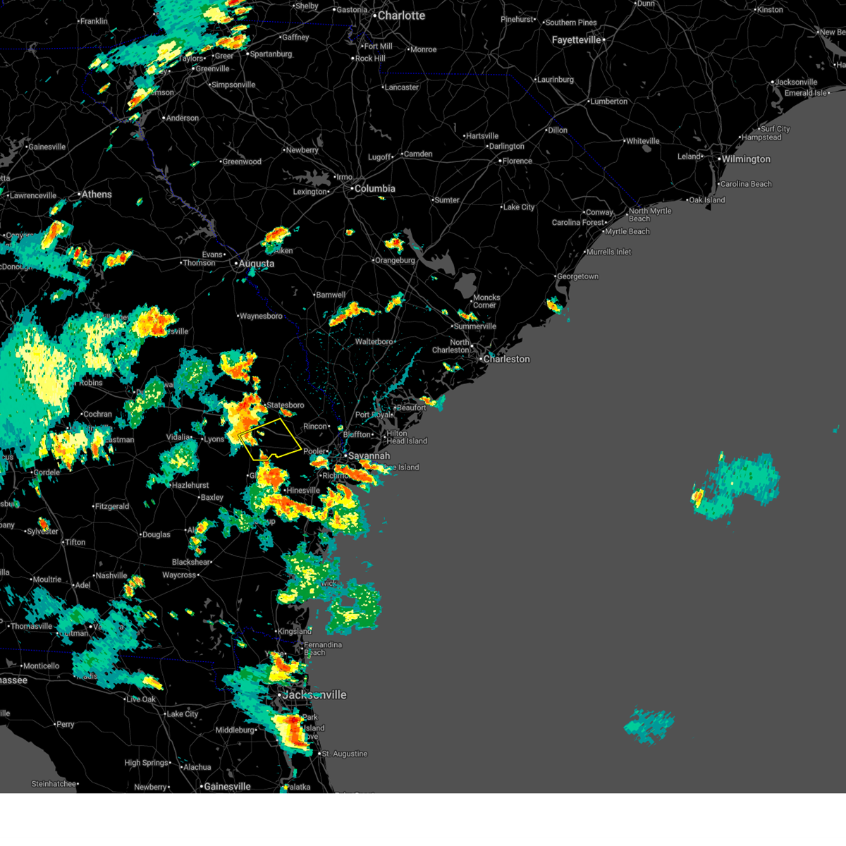
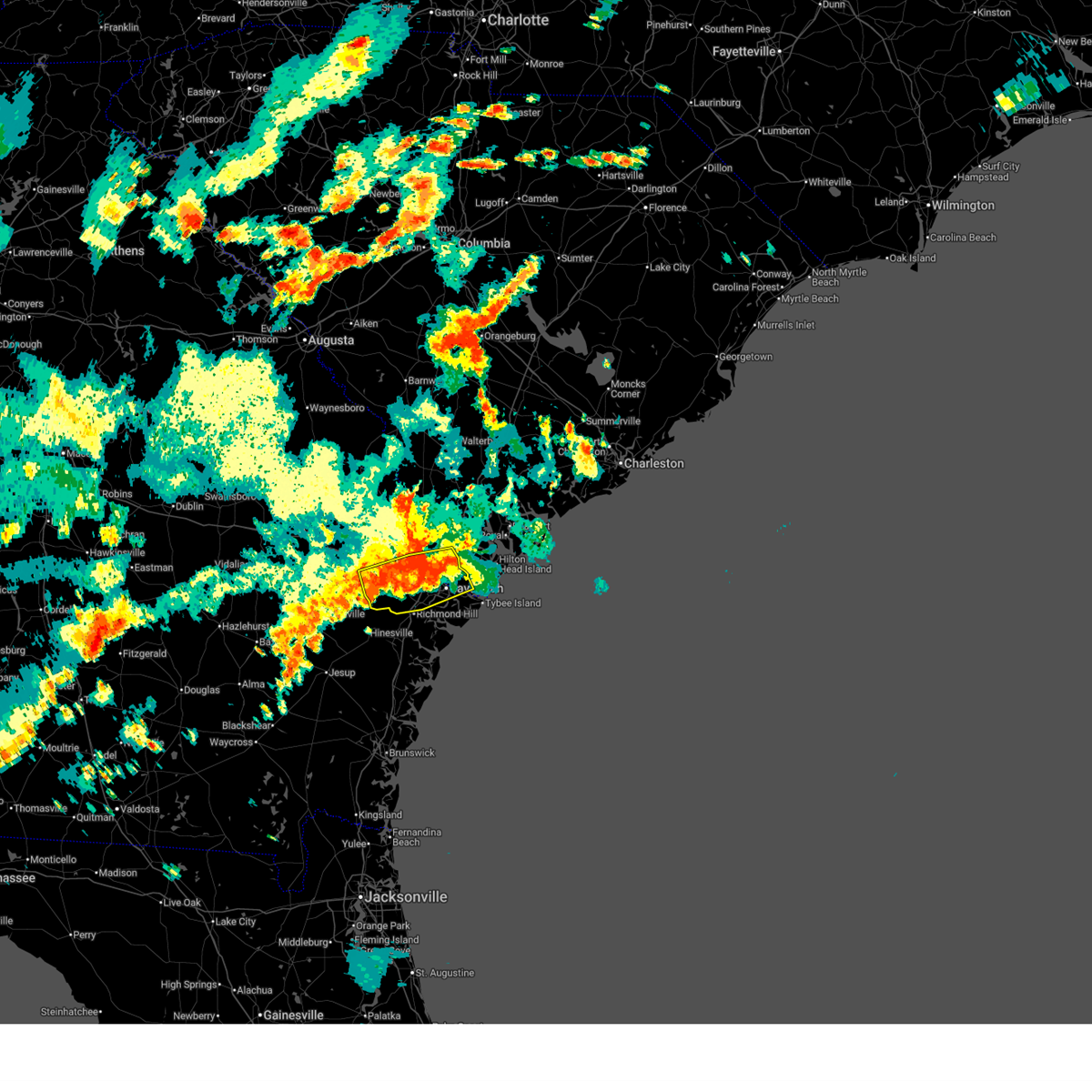
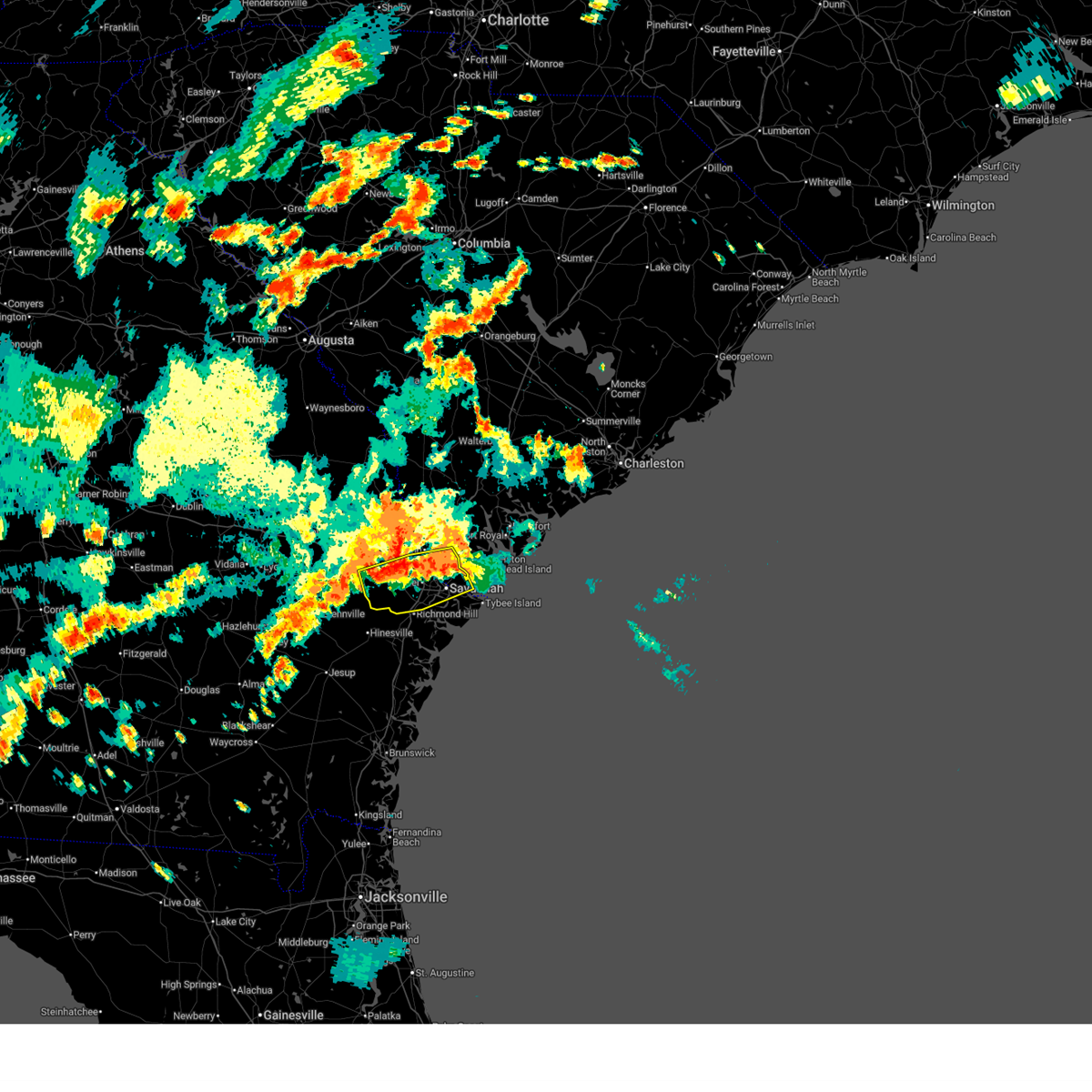
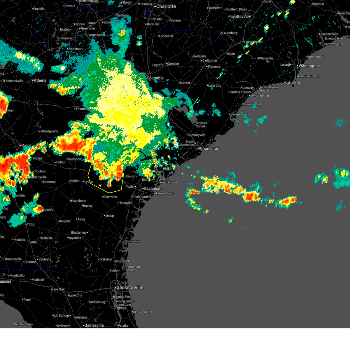
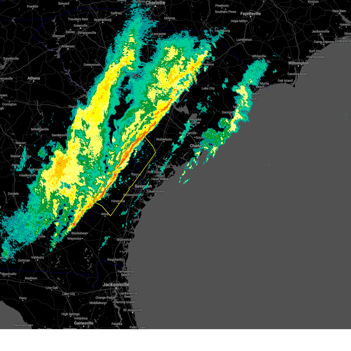
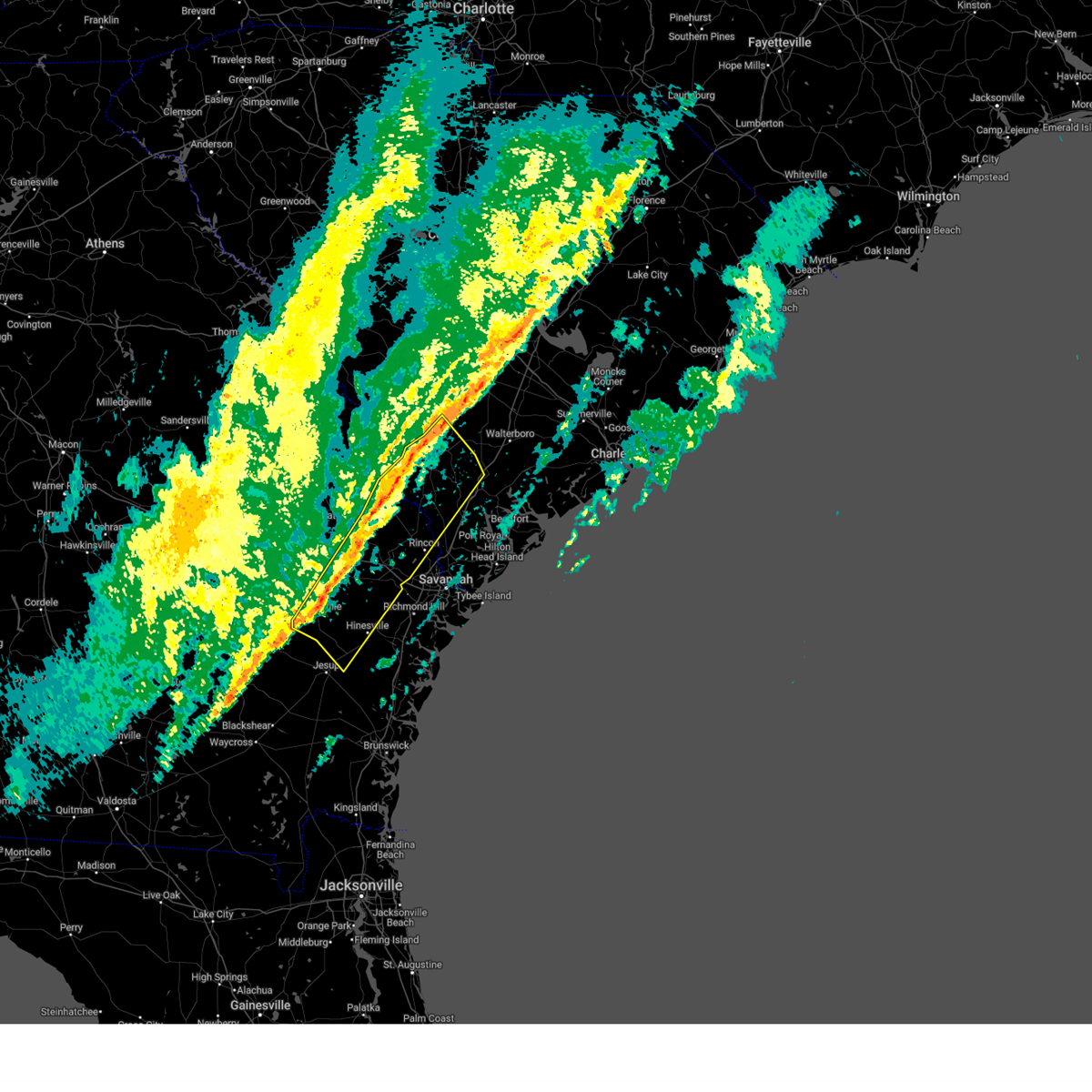
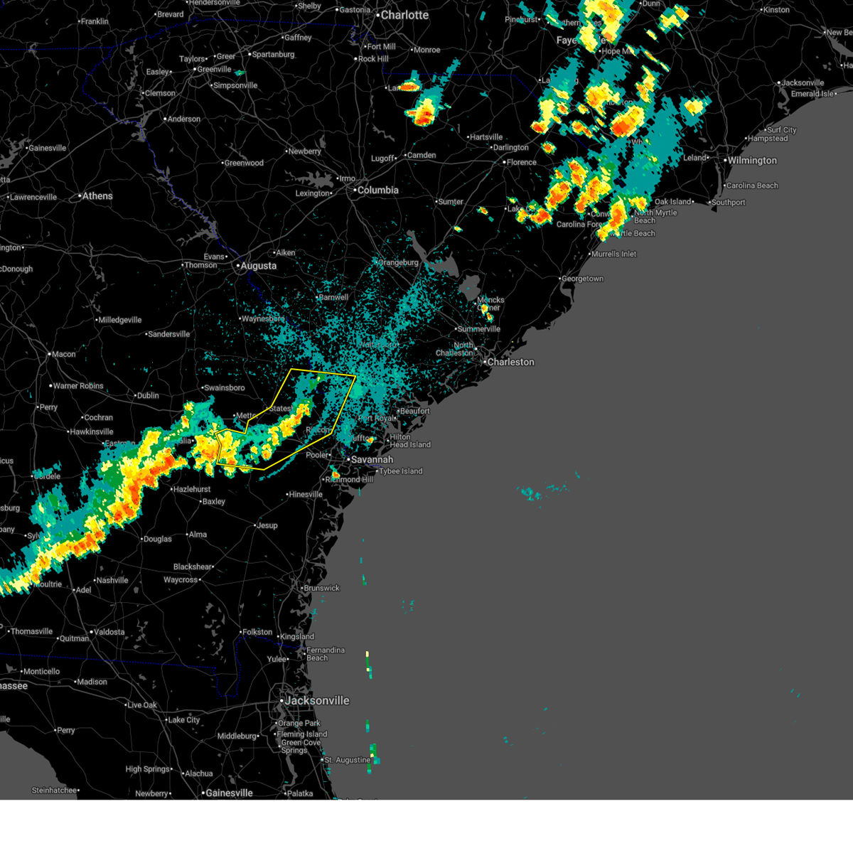
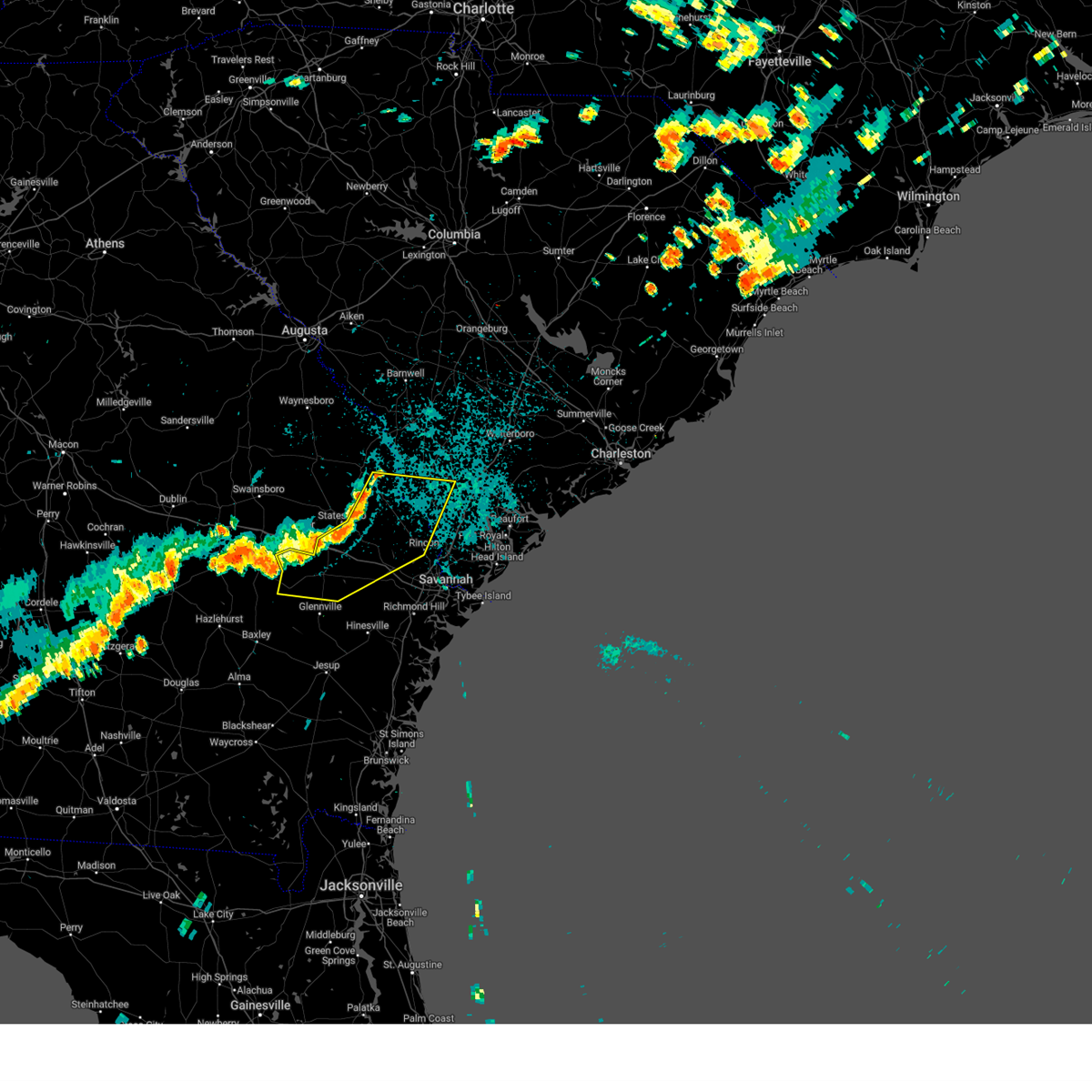
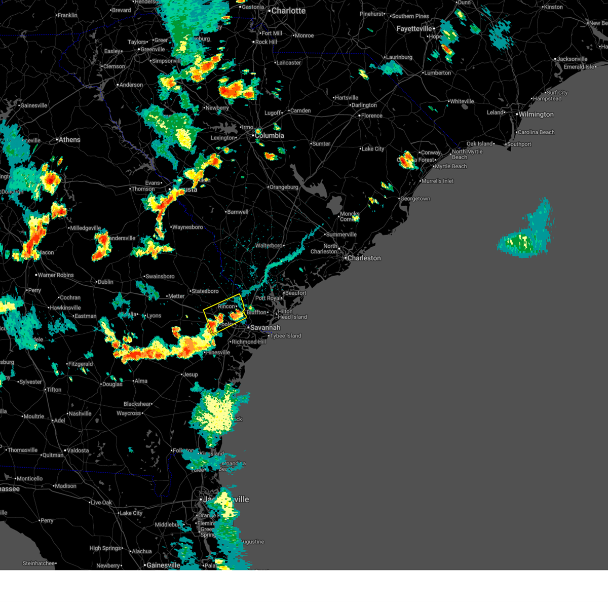
Hail Map for Pembroke, GA
The Pembroke, GA area has had 4 reports of on-the-ground hail by trained spotters, and has been under severe weather warnings 19 times during the past 12 months. Doppler radar has detected hail at or near Pembroke, GA on 59 occasions, including 1 occasion during the past year.
| Name: | Pembroke, GA |
| Where Located: | 31.3 miles W of Savannah, GA |
| Map: | Google Map for Pembroke, GA |
| Population: | 2196 |
| Housing Units: | 1006 |
| More Info: | Search Google for Pembroke, GA |
0
The Top Recent Hail Date for Pembroke, GA is Tuesday, July 8, 2025 (51st out of 59)

Hail and Wind Damage Spotted near Pembroke, GA
| Date / Time | Report Details |
|---|---|
| 6/14/2026 6:14 PM EDT |
 Svrchs the national weather service in charleston has issued a * severe thunderstorm warning for portions of, bryan county in southeastern georgia, bulloch county in southeastern georgia, chatham county in southeastern georgia, effingham county in southeastern georgia, screven county in southeastern georgia, hampton county in southeastern south carolina, jasper county in southeastern south carolina, * until 715 pm edt. * at 614 pm edt, severe thunderstorms were located along a line from over kildare to 6 miles north of fort stewart, moving east at 35 mph (radar indicated). Hazards include 60 mph wind gusts. expect damage to roofs, siding, and trees Svrchs the national weather service in charleston has issued a * severe thunderstorm warning for portions of, bryan county in southeastern georgia, bulloch county in southeastern georgia, chatham county in southeastern georgia, effingham county in southeastern georgia, screven county in southeastern georgia, hampton county in southeastern south carolina, jasper county in southeastern south carolina, * until 715 pm edt. * at 614 pm edt, severe thunderstorms were located along a line from over kildare to 6 miles north of fort stewart, moving east at 35 mph (radar indicated). Hazards include 60 mph wind gusts. expect damage to roofs, siding, and trees
|
| 6/14/2026 5:45 PM EDT |
 Svrchs the national weather service in charleston has issued a * severe thunderstorm warning for portions of, bryan county in southeastern georgia, bulloch county in southeastern georgia, evans county in southeastern georgia, liberty county in southeastern georgia, tattnall county in southeastern georgia, * until 630 pm edt. * at 545 pm edt, a severe thunderstorm was located 6 miles north of claxton, moving east at 30 mph (radar indicated). Hazards include 60 mph wind gusts and small hail. expect damage to roofs, siding, and trees Svrchs the national weather service in charleston has issued a * severe thunderstorm warning for portions of, bryan county in southeastern georgia, bulloch county in southeastern georgia, evans county in southeastern georgia, liberty county in southeastern georgia, tattnall county in southeastern georgia, * until 630 pm edt. * at 545 pm edt, a severe thunderstorm was located 6 miles north of claxton, moving east at 30 mph (radar indicated). Hazards include 60 mph wind gusts and small hail. expect damage to roofs, siding, and trees
|
| 6/12/2026 6:15 PM EDT | A 911 call center reported a tree down along hwy 67 near barn r in bulloch county GA, 3.8 miles SE of Pembroke, GA |
| 8/13/2025 7:38 PM EDT |
 Svrchs the national weather service in charleston has issued a * severe thunderstorm warning for portions of, bryan county in southeastern georgia, bulloch county in southeastern georgia, effingham county in southeastern georgia, * until 830 pm edt. * at 738 pm edt, a severe thunderstorm was located over lanier, moving northeast at 25 mph (radar indicated). Hazards include 60 mph wind gusts and small hail. expect damage to roofs, siding, and trees Svrchs the national weather service in charleston has issued a * severe thunderstorm warning for portions of, bryan county in southeastern georgia, bulloch county in southeastern georgia, effingham county in southeastern georgia, * until 830 pm edt. * at 738 pm edt, a severe thunderstorm was located over lanier, moving northeast at 25 mph (radar indicated). Hazards include 60 mph wind gusts and small hail. expect damage to roofs, siding, and trees
|
| 7/14/2025 5:27 PM EDT |
 the severe thunderstorm warning has been cancelled and is no longer in effect the severe thunderstorm warning has been cancelled and is no longer in effect
|
| 7/14/2025 5:09 PM EDT |
 Svrchs the national weather service in charleston has issued a * severe thunderstorm warning for portions of, bryan county in southeastern georgia, evans county in southeastern georgia, liberty county in southeastern georgia, long county in southeastern georgia, tattnall county in southeastern georgia, * until 615 pm edt. * at 509 pm edt, a severe thunderstorm was located 5 miles southeast of groveland, moving south at 10 mph (radar indicated). Hazards include 60 mph wind gusts and quarter size hail. Hail damage to vehicles is expected. Expect wind damage to roofs, siding, and trees. Svrchs the national weather service in charleston has issued a * severe thunderstorm warning for portions of, bryan county in southeastern georgia, evans county in southeastern georgia, liberty county in southeastern georgia, long county in southeastern georgia, tattnall county in southeastern georgia, * until 615 pm edt. * at 509 pm edt, a severe thunderstorm was located 5 miles southeast of groveland, moving south at 10 mph (radar indicated). Hazards include 60 mph wind gusts and quarter size hail. Hail damage to vehicles is expected. Expect wind damage to roofs, siding, and trees.
|
| 7/14/2025 4:52 PM EDT |
 At 452 pm edt, a severe thunderstorm was located near blitchton, moving south at 20 mph (radar indicated). Hazards include 60 mph wind gusts and quarter size hail. Hail damage to vehicles is expected. expect wind damage to roofs, siding, and trees. locations impacted include, springfield, pembroke, lanier, rincon, guyton, marlow, pineora, blitchton, eden and stilson. This includes i-16 between mile markers 131 and 147. At 452 pm edt, a severe thunderstorm was located near blitchton, moving south at 20 mph (radar indicated). Hazards include 60 mph wind gusts and quarter size hail. Hail damage to vehicles is expected. expect wind damage to roofs, siding, and trees. locations impacted include, springfield, pembroke, lanier, rincon, guyton, marlow, pineora, blitchton, eden and stilson. This includes i-16 between mile markers 131 and 147.
|
| 7/14/2025 4:39 PM EDT |
 Svrchs the national weather service in charleston has issued a * severe thunderstorm warning for portions of, bryan county in southeastern georgia, bulloch county in southeastern georgia, effingham county in southeastern georgia, * until 545 pm edt. * at 439 pm edt, a severe thunderstorm was located near stilson, moving south at 20 mph (radar indicated). Hazards include 60 mph wind gusts and small hail. expect damage to roofs, siding, and trees Svrchs the national weather service in charleston has issued a * severe thunderstorm warning for portions of, bryan county in southeastern georgia, bulloch county in southeastern georgia, effingham county in southeastern georgia, * until 545 pm edt. * at 439 pm edt, a severe thunderstorm was located near stilson, moving south at 20 mph (radar indicated). Hazards include 60 mph wind gusts and small hail. expect damage to roofs, siding, and trees
|
| 7/11/2025 5:41 PM EDT |
 the severe thunderstorm warning has been cancelled and is no longer in effect the severe thunderstorm warning has been cancelled and is no longer in effect
|
| 7/11/2025 5:11 PM EDT |
 the severe thunderstorm warning has been cancelled and is no longer in effect the severe thunderstorm warning has been cancelled and is no longer in effect
|
| 7/11/2025 5:11 PM EDT |
 At 511 pm edt, a severe thunderstorm was located over nevils, moving east at 20 mph (radar indicated). Hazards include 60 mph wind gusts and small hail. Expect damage to roofs, siding, and trees. locations impacted include, pembroke, lanier, bay, denmark, groveland, nevils, reka, akins and overbrook. This includes i-16 between mile markers 121 and 137. At 511 pm edt, a severe thunderstorm was located over nevils, moving east at 20 mph (radar indicated). Hazards include 60 mph wind gusts and small hail. Expect damage to roofs, siding, and trees. locations impacted include, pembroke, lanier, bay, denmark, groveland, nevils, reka, akins and overbrook. This includes i-16 between mile markers 121 and 137.
|
| 7/11/2025 4:56 PM EDT |
 Svrchs the national weather service in charleston has issued a * severe thunderstorm warning for portions of, bryan county in southeastern georgia, bulloch county in southeastern georgia, evans county in southeastern georgia, * until 600 pm edt. * at 456 pm edt, a severe thunderstorm was located near claxton, moving east at 10 mph (radar indicated). Hazards include 60 mph wind gusts. expect damage to roofs, siding, and trees Svrchs the national weather service in charleston has issued a * severe thunderstorm warning for portions of, bryan county in southeastern georgia, bulloch county in southeastern georgia, evans county in southeastern georgia, * until 600 pm edt. * at 456 pm edt, a severe thunderstorm was located near claxton, moving east at 10 mph (radar indicated). Hazards include 60 mph wind gusts. expect damage to roofs, siding, and trees
|
| 7/10/2025 5:31 PM EDT |
 At 531 pm edt, severe thunderstorms were located along a line from near lanier to near bellinger hill area, moving southeast at 15 mph (radar indicated). Hazards include 60 mph wind gusts and small hail. Expect damage to roofs, siding, and trees. locations impacted include, pooler, bluffton, richmond hill, pembroke, i-16/i-95 interchange, godley station, savannah international airport, hunter army airfield, downtown savannah and windsor forest. this includes the following highways, i-16 between mile markers 139 and 168. i-95 in georgia between mile markers 90 and 112. i-95 in south carolina between mile markers 2 and 8. I-516 between mile markers 3 and 9. At 531 pm edt, severe thunderstorms were located along a line from near lanier to near bellinger hill area, moving southeast at 15 mph (radar indicated). Hazards include 60 mph wind gusts and small hail. Expect damage to roofs, siding, and trees. locations impacted include, pooler, bluffton, richmond hill, pembroke, i-16/i-95 interchange, godley station, savannah international airport, hunter army airfield, downtown savannah and windsor forest. this includes the following highways, i-16 between mile markers 139 and 168. i-95 in georgia between mile markers 90 and 112. i-95 in south carolina between mile markers 2 and 8. I-516 between mile markers 3 and 9.
|
| 7/10/2025 5:16 PM EDT |
 Svrchs the national weather service in charleston has issued a * severe thunderstorm warning for portions of, bryan county in southeastern georgia, chatham county in southeastern georgia, effingham county in southeastern georgia, jasper county in southeastern south carolina, * until 615 pm edt. * at 516 pm edt, severe thunderstorms were located along a line from over pembroke to over bellinger hill area, moving south at 10 mph (radar indicated). Hazards include 60 mph wind gusts and small hail. expect damage to roofs, siding, and trees Svrchs the national weather service in charleston has issued a * severe thunderstorm warning for portions of, bryan county in southeastern georgia, chatham county in southeastern georgia, effingham county in southeastern georgia, jasper county in southeastern south carolina, * until 615 pm edt. * at 516 pm edt, severe thunderstorms were located along a line from over pembroke to over bellinger hill area, moving south at 10 mph (radar indicated). Hazards include 60 mph wind gusts and small hail. expect damage to roofs, siding, and trees
|
| 6/26/2025 12:17 AM EDT |
 the severe thunderstorm warning has been cancelled and is no longer in effect the severe thunderstorm warning has been cancelled and is no longer in effect
|
| 6/26/2025 12:09 AM EDT |
 the severe thunderstorm warning has been cancelled and is no longer in effect the severe thunderstorm warning has been cancelled and is no longer in effect
|
| 6/26/2025 12:09 AM EDT |
 At 1209 am edt, severe thunderstorms were located along a line from near stilson to over metter, moving south at 30 mph (emergency management reported. at 1147 pm, emergency management officials reported trees down across portions of bulloch county). Hazards include 60 mph wind gusts. Expect damage to roofs, siding, and trees. locations impacted include, brooklet, register, pulaski, metter, claxton, hagan, pembroke, cobbtown, collins and lanier. This includes i-16 between mile markers 97 and 139. At 1209 am edt, severe thunderstorms were located along a line from near stilson to over metter, moving south at 30 mph (emergency management reported. at 1147 pm, emergency management officials reported trees down across portions of bulloch county). Hazards include 60 mph wind gusts. Expect damage to roofs, siding, and trees. locations impacted include, brooklet, register, pulaski, metter, claxton, hagan, pembroke, cobbtown, collins and lanier. This includes i-16 between mile markers 97 and 139.
|
| 6/26/2025 12:05 AM EDT |
 Svrchs the national weather service in charleston has issued a * severe thunderstorm warning for portions of, bryan county in southeastern georgia, bulloch county in southeastern georgia, candler county in southeastern georgia, evans county in southeastern georgia, liberty county in southeastern georgia, long county in southeastern georgia, tattnall county in southeastern georgia, * until 100 am edt. * at 1205 am edt, severe thunderstorms were located along a line from near bay to near metter, moving south at 30 mph (emergency management reported. this line of storms has a history of producing wind damage). Hazards include 60 mph wind gusts. expect damage to roofs, siding, and trees Svrchs the national weather service in charleston has issued a * severe thunderstorm warning for portions of, bryan county in southeastern georgia, bulloch county in southeastern georgia, candler county in southeastern georgia, evans county in southeastern georgia, liberty county in southeastern georgia, long county in southeastern georgia, tattnall county in southeastern georgia, * until 100 am edt. * at 1205 am edt, severe thunderstorms were located along a line from near bay to near metter, moving south at 30 mph (emergency management reported. this line of storms has a history of producing wind damage). Hazards include 60 mph wind gusts. expect damage to roofs, siding, and trees
|
| 6/25/2025 11:49 PM EDT |
 At 1149 pm edt, severe thunderstorms were located along a line from near stilson to 6 miles west of portal, moving south at 30 mph (emergency management reported. at 1147 pm, emergency management officials reported trees down across portions of bulloch county). Hazards include 60 mph wind gusts and quarter size hail. Hail damage to vehicles is expected. expect wind damage to roofs, siding, and trees. locations impacted include, statesboro, portal, brooklet, springfield, guyton, metter, claxton, hagan, pembroke and lanier. This includes i-16 between mile markers 96 and 149. At 1149 pm edt, severe thunderstorms were located along a line from near stilson to 6 miles west of portal, moving south at 30 mph (emergency management reported. at 1147 pm, emergency management officials reported trees down across portions of bulloch county). Hazards include 60 mph wind gusts and quarter size hail. Hail damage to vehicles is expected. expect wind damage to roofs, siding, and trees. locations impacted include, statesboro, portal, brooklet, springfield, guyton, metter, claxton, hagan, pembroke and lanier. This includes i-16 between mile markers 96 and 149.
|
| 6/25/2025 11:28 PM EDT |
 Svrchs the national weather service in charleston has issued a * severe thunderstorm warning for portions of, bryan county in southeastern georgia, bulloch county in southeastern georgia, candler county in southeastern georgia, effingham county in southeastern georgia, evans county in southeastern georgia, jenkins county in southeastern georgia, liberty county in southeastern georgia, screven county in southeastern georgia, tattnall county in southeastern georgia, * until 1230 am edt. * at 1128 pm edt, severe thunderstorms were located along a line from over shawnee to near butts, moving south at 30 mph (radar indicated). Hazards include 60 mph wind gusts and small hail. expect damage to roofs, siding, and trees Svrchs the national weather service in charleston has issued a * severe thunderstorm warning for portions of, bryan county in southeastern georgia, bulloch county in southeastern georgia, candler county in southeastern georgia, effingham county in southeastern georgia, evans county in southeastern georgia, jenkins county in southeastern georgia, liberty county in southeastern georgia, screven county in southeastern georgia, tattnall county in southeastern georgia, * until 1230 am edt. * at 1128 pm edt, severe thunderstorms were located along a line from over shawnee to near butts, moving south at 30 mph (radar indicated). Hazards include 60 mph wind gusts and small hail. expect damage to roofs, siding, and trees
|
| 5/8/2025 2:58 PM EDT |
 At 258 pm edt, a severe thunderstorm was located near bay, moving east at 15 mph (radar indicated). Hazards include 60 mph wind gusts and half dollar size hail. Hail damage to vehicles is expected. expect wind damage to roofs, siding, and trees. locations impacted include, pembroke, stilson, blitchton, guyton, pineora, marlow, eden, meldrim, springfield and bloomingdale. This includes i-16 between mile markers 133 and 150. At 258 pm edt, a severe thunderstorm was located near bay, moving east at 15 mph (radar indicated). Hazards include 60 mph wind gusts and half dollar size hail. Hail damage to vehicles is expected. expect wind damage to roofs, siding, and trees. locations impacted include, pembroke, stilson, blitchton, guyton, pineora, marlow, eden, meldrim, springfield and bloomingdale. This includes i-16 between mile markers 133 and 150.
|
| 5/8/2025 2:47 PM EDT |
 Svrchs the national weather service in charleston has issued a * severe thunderstorm warning for portions of, bryan county in southeastern georgia, bulloch county in southeastern georgia, effingham county in southeastern georgia, * until 345 pm edt. * at 247 pm edt, a severe thunderstorm was located over bay, moving east at 15 mph (radar indicated). Hazards include 60 mph wind gusts and quarter size hail. Hail damage to vehicles is expected. Expect wind damage to roofs, siding, and trees. Svrchs the national weather service in charleston has issued a * severe thunderstorm warning for portions of, bryan county in southeastern georgia, bulloch county in southeastern georgia, effingham county in southeastern georgia, * until 345 pm edt. * at 247 pm edt, a severe thunderstorm was located over bay, moving east at 15 mph (radar indicated). Hazards include 60 mph wind gusts and quarter size hail. Hail damage to vehicles is expected. Expect wind damage to roofs, siding, and trees.
|
| 3/16/2025 9:46 AM EDT |
 the severe thunderstorm warning has been cancelled and is no longer in effect the severe thunderstorm warning has been cancelled and is no longer in effect
|
| 3/16/2025 9:06 AM EDT |
 Svrchs the national weather service in charleston has issued a * severe thunderstorm warning for portions of, bryan county in southeastern georgia, bulloch county in southeastern georgia, evans county in southeastern georgia, liberty county in southeastern georgia, long county in southeastern georgia, tattnall county in southeastern georgia, * until 1000 am edt. * at 906 am edt, a severe thunderstorm was located 20 miles south of gordonia altamaha state park, moving northeast at 50 mph (radar indicated). Hazards include 60 mph wind gusts. expect damage to roofs, siding, and trees Svrchs the national weather service in charleston has issued a * severe thunderstorm warning for portions of, bryan county in southeastern georgia, bulloch county in southeastern georgia, evans county in southeastern georgia, liberty county in southeastern georgia, long county in southeastern georgia, tattnall county in southeastern georgia, * until 1000 am edt. * at 906 am edt, a severe thunderstorm was located 20 miles south of gordonia altamaha state park, moving northeast at 50 mph (radar indicated). Hazards include 60 mph wind gusts. expect damage to roofs, siding, and trees
|
| 2/16/2025 9:16 AM EST |
 The storms which prompted the warning have weakened below severe limits. therefore, the warning has been allowed to expire. however, gusty winds are still possible with these thunderstorms and a special weather statement has been issued. a severe thunderstorm watch remains in effect until 100 pm est for portions of southeast georgia and southeast south carolina. The storms which prompted the warning have weakened below severe limits. therefore, the warning has been allowed to expire. however, gusty winds are still possible with these thunderstorms and a special weather statement has been issued. a severe thunderstorm watch remains in effect until 100 pm est for portions of southeast georgia and southeast south carolina.
|
| 2/16/2025 8:54 AM EST |
 the severe thunderstorm warning has been cancelled and is no longer in effect the severe thunderstorm warning has been cancelled and is no longer in effect
|
| 2/16/2025 8:54 AM EST |
 At 854 am est, severe thunderstorms were located along a line from near hampton to 6 miles west of donald, moving southeast at 35 mph (radar indicated). Hazards include 60 mph wind gusts. Expect damage to roofs, siding, and trees. locations impacted include, hinesville, glennville, springfield, hampton, claxton, pembroke, ludowici, yemassee, fort stewart and lake warren state park. this includes the following highways, i-16 between mile markers 122 and 150. I-95 in south carolina between mile markers 37 and 41. At 854 am est, severe thunderstorms were located along a line from near hampton to 6 miles west of donald, moving southeast at 35 mph (radar indicated). Hazards include 60 mph wind gusts. Expect damage to roofs, siding, and trees. locations impacted include, hinesville, glennville, springfield, hampton, claxton, pembroke, ludowici, yemassee, fort stewart and lake warren state park. this includes the following highways, i-16 between mile markers 122 and 150. I-95 in south carolina between mile markers 37 and 41.
|
| 2/16/2025 8:14 AM EST |
 Svrchs the national weather service in charleston has issued a * severe thunderstorm warning for portions of, bryan county in southeastern georgia, bulloch county in southeastern georgia, candler county in southeastern georgia, effingham county in southeastern georgia, evans county in southeastern georgia, jenkins county in southeastern georgia, liberty county in southeastern georgia, long county in southeastern georgia, screven county in southeastern georgia, tattnall county in southeastern georgia, allendale county in southeastern south carolina, hampton county in southeastern south carolina, jasper county in southeastern south carolina, * until 915 am est. * at 814 am est, severe thunderstorms were located along a line from near millett to 13 miles southwest of gordonia altamaha state park, moving southeast at 40 mph (radar indicated). Hazards include 60 mph wind gusts. expect damage to roofs, siding, and trees Svrchs the national weather service in charleston has issued a * severe thunderstorm warning for portions of, bryan county in southeastern georgia, bulloch county in southeastern georgia, candler county in southeastern georgia, effingham county in southeastern georgia, evans county in southeastern georgia, jenkins county in southeastern georgia, liberty county in southeastern georgia, long county in southeastern georgia, screven county in southeastern georgia, tattnall county in southeastern georgia, allendale county in southeastern south carolina, hampton county in southeastern south carolina, jasper county in southeastern south carolina, * until 915 am est. * at 814 am est, severe thunderstorms were located along a line from near millett to 13 miles southwest of gordonia altamaha state park, moving southeast at 40 mph (radar indicated). Hazards include 60 mph wind gusts. expect damage to roofs, siding, and trees
|
| 8/18/2024 9:22 PM EDT |
 The storms which prompted the warning have weakened below severe limits, and no longer pose an immediate threat to life or property. therefore, the warning will be allowed to expire. a severe thunderstorm watch remains in effect until 200 am edt for southeastern georgia. The storms which prompted the warning have weakened below severe limits, and no longer pose an immediate threat to life or property. therefore, the warning will be allowed to expire. a severe thunderstorm watch remains in effect until 200 am edt for southeastern georgia.
|
| 8/18/2024 8:59 PM EDT |
 the severe thunderstorm warning has been cancelled and is no longer in effect the severe thunderstorm warning has been cancelled and is no longer in effect
|
| 8/18/2024 8:59 PM EDT |
 At 858 pm edt, severe thunderstorms were located along a line extending from near newington to brooklet to near manassas, moving east at 30 mph (radar indicated. at 838 pm edt, screven county dispatch reported a tree down near the intersection of statesboro highway and dover road). Hazards include 60 mph wind gusts. Expect damage to trees and powerlines. locations impacted include: statesboro, reidsville, springfield, claxton, pembroke, rincon, guyton, brooklet, hagan, collins, cobbtown, newington, furman, oliver, and scotia. This warning includes i-16 between mile markers 113 and 144. At 858 pm edt, severe thunderstorms were located along a line extending from near newington to brooklet to near manassas, moving east at 30 mph (radar indicated. at 838 pm edt, screven county dispatch reported a tree down near the intersection of statesboro highway and dover road). Hazards include 60 mph wind gusts. Expect damage to trees and powerlines. locations impacted include: statesboro, reidsville, springfield, claxton, pembroke, rincon, guyton, brooklet, hagan, collins, cobbtown, newington, furman, oliver, and scotia. This warning includes i-16 between mile markers 113 and 144.
|
| 8/18/2024 8:28 PM EDT |
 Svrchs the national weather service in charleston has issued a * severe thunderstorm warning for portions of, bryan county in southeastern georgia, screven county in southeastern georgia, evans county in southeastern georgia, liberty county in southeastern georgia, bulloch county in southeastern georgia, candler county in southeastern georgia, effingham county in southeastern georgia, tattnall county in southeastern georgia, hampton county in southeastern south carolina, jasper county in southeastern south carolina, * until 930 pm edt. * at 828 pm edt, severe thunderstorms were located along a line extending from near rocky ford to near hopeulikit to 6 miles north of lyons, moving east at 30 mph (radar indicated). Hazards include 60 mph wind gusts and penny size hail. Expect damage to trees and powerlines. locations impacted include: statesboro, reidsville, metter, sylvania, springfield, claxton, pembroke, rincon, guyton, brooklet, hagan, portal, collins, cobbtown, and newington. This warning includes i-16 between mile markers 99 and 144. Svrchs the national weather service in charleston has issued a * severe thunderstorm warning for portions of, bryan county in southeastern georgia, screven county in southeastern georgia, evans county in southeastern georgia, liberty county in southeastern georgia, bulloch county in southeastern georgia, candler county in southeastern georgia, effingham county in southeastern georgia, tattnall county in southeastern georgia, hampton county in southeastern south carolina, jasper county in southeastern south carolina, * until 930 pm edt. * at 828 pm edt, severe thunderstorms were located along a line extending from near rocky ford to near hopeulikit to 6 miles north of lyons, moving east at 30 mph (radar indicated). Hazards include 60 mph wind gusts and penny size hail. Expect damage to trees and powerlines. locations impacted include: statesboro, reidsville, metter, sylvania, springfield, claxton, pembroke, rincon, guyton, brooklet, hagan, portal, collins, cobbtown, and newington. This warning includes i-16 between mile markers 99 and 144.
|
| 7/17/2024 5:08 PM EDT |
 Svrchs the national weather service in charleston has issued a * severe thunderstorm warning for portions of, bryan county in southeastern georgia, bulloch county in southeastern georgia, chatham county in southeastern georgia, effingham county in southeastern georgia, * until 615 pm edt. * at 508 pm edt, a severe thunderstorm was located over blitchton, moving northeast at 10 mph (radar indicated). Hazards include 60 mph wind gusts and quarter size hail. Hail damage to vehicles is expected. Expect wind damage to roofs, siding, and trees. Svrchs the national weather service in charleston has issued a * severe thunderstorm warning for portions of, bryan county in southeastern georgia, bulloch county in southeastern georgia, chatham county in southeastern georgia, effingham county in southeastern georgia, * until 615 pm edt. * at 508 pm edt, a severe thunderstorm was located over blitchton, moving northeast at 10 mph (radar indicated). Hazards include 60 mph wind gusts and quarter size hail. Hail damage to vehicles is expected. Expect wind damage to roofs, siding, and trees.
|
| 5/9/2024 3:10 PM EDT |
 The storms which prompted the warning have moved out of the area. therefore, the warning will be allowed to expire. a tornado watch remains in effect until 700 pm edt for southeastern georgia. The storms which prompted the warning have moved out of the area. therefore, the warning will be allowed to expire. a tornado watch remains in effect until 700 pm edt for southeastern georgia.
|
| 5/9/2024 2:57 PM EDT |
 At 257 pm edt, severe thunderstorms were located along a line extending from near bay to near pembroke to near glennville, moving east at 35 mph (trained weather spotters). Hazards include 60 mph wind gusts and nickel size hail. Expect damage to trees and powerlines. locations impacted include: glennville, pembroke, fort stewart, nevils, denmark, bay, and groveland. This warning includes i-16 between mile markers 123 and 136. At 257 pm edt, severe thunderstorms were located along a line extending from near bay to near pembroke to near glennville, moving east at 35 mph (trained weather spotters). Hazards include 60 mph wind gusts and nickel size hail. Expect damage to trees and powerlines. locations impacted include: glennville, pembroke, fort stewart, nevils, denmark, bay, and groveland. This warning includes i-16 between mile markers 123 and 136.
|
| 5/9/2024 2:57 PM EDT |
 the severe thunderstorm warning has been cancelled and is no longer in effect the severe thunderstorm warning has been cancelled and is no longer in effect
|
| 5/9/2024 2:30 PM EDT |
 At 229 pm edt, severe thunderstorms were located along a line extending from near pulaski to daisy to near mendes, moving east at 40 mph (trained weather spotters). Hazards include 70 mph wind gusts and half dollar size hail. at 218 pm, quarter size hail was reported at the tattnall county high school southeast of reidsville. Minor hail damage to vehicles is possible. expect considerable tree damage. wind damage is also likely to mobile homes, roofs, and outbuildings. locations impacted include: glennville, pembroke, fort stewart, register, daisy, nevils, denmark, bay, and groveland. This warning includes i-16 between mile markers 110 and 136. At 229 pm edt, severe thunderstorms were located along a line extending from near pulaski to daisy to near mendes, moving east at 40 mph (trained weather spotters). Hazards include 70 mph wind gusts and half dollar size hail. at 218 pm, quarter size hail was reported at the tattnall county high school southeast of reidsville. Minor hail damage to vehicles is possible. expect considerable tree damage. wind damage is also likely to mobile homes, roofs, and outbuildings. locations impacted include: glennville, pembroke, fort stewart, register, daisy, nevils, denmark, bay, and groveland. This warning includes i-16 between mile markers 110 and 136.
|
| 5/9/2024 2:18 PM EDT |
 Svrchs the national weather service in charleston has issued a * severe thunderstorm warning for portions of, bryan county in southeastern georgia, evans county in southeastern georgia, liberty county in southeastern georgia, bulloch county in southeastern georgia, candler county in southeastern georgia, long county in southeastern georgia, tattnall county in southeastern georgia, * until 315 pm edt. * at 217 pm edt, severe thunderstorms were located along a line extending from near metter to bellville to 7 miles south of reidsville, moving east at 55 mph (radar indicated). Hazards include 70 mph wind gusts and quarter size hail. Minor hail damage to vehicles is possible. expect considerable tree damage. wind damage is also likely to mobile homes, roofs, and outbuildings. locations impacted include: glennville, pembroke, fort stewart, register, daisy, nevils, denmark, bay, and groveland. This warning includes i-16 between mile markers 110 and 136. Svrchs the national weather service in charleston has issued a * severe thunderstorm warning for portions of, bryan county in southeastern georgia, evans county in southeastern georgia, liberty county in southeastern georgia, bulloch county in southeastern georgia, candler county in southeastern georgia, long county in southeastern georgia, tattnall county in southeastern georgia, * until 315 pm edt. * at 217 pm edt, severe thunderstorms were located along a line extending from near metter to bellville to 7 miles south of reidsville, moving east at 55 mph (radar indicated). Hazards include 70 mph wind gusts and quarter size hail. Minor hail damage to vehicles is possible. expect considerable tree damage. wind damage is also likely to mobile homes, roofs, and outbuildings. locations impacted include: glennville, pembroke, fort stewart, register, daisy, nevils, denmark, bay, and groveland. This warning includes i-16 between mile markers 110 and 136.
|
| 1/9/2024 1:57 PM EST |
 At 156 pm est, severe thunderstorms were located along a line extending from near georgia southern to near glennville, moving northeast at 65 mph (radar indicated). Hazards include 70 mph wind gusts. Expect considerable tree damage. damage is likely to mobile homes, roofs, and outbuildings. locations impacted include: hinesville, statesboro, richmond hill, pembroke, ludowici, tibet, fort stewart, mcintosh, lanier, walthourville, midway, guyton, brooklet, riceboro, and flemington. this warning includes the following interstates: i-16 between mile markers 121 and 149. I-95 in georgia between mile markers 74 and 93. At 156 pm est, severe thunderstorms were located along a line extending from near georgia southern to near glennville, moving northeast at 65 mph (radar indicated). Hazards include 70 mph wind gusts. Expect considerable tree damage. damage is likely to mobile homes, roofs, and outbuildings. locations impacted include: hinesville, statesboro, richmond hill, pembroke, ludowici, tibet, fort stewart, mcintosh, lanier, walthourville, midway, guyton, brooklet, riceboro, and flemington. this warning includes the following interstates: i-16 between mile markers 121 and 149. I-95 in georgia between mile markers 74 and 93.
|
| 8/30/2023 10:14 AM EDT |
 At 1014 am edt, a severe thunderstorm capable of producing a tornado was located near ellabell, moving north at 40 mph (radar indicated rotation). Hazards include tornado. Flying debris will be dangerous to those caught without shelter. mobile homes will be damaged or destroyed. damage to roofs, windows, and vehicles will occur. tree damage is likely. locations impacted include: pembroke, lanier, bloomingdale, eden, meldrim, and ellabell. This warning includes i-16 between mile markers 143 and 154. At 1014 am edt, a severe thunderstorm capable of producing a tornado was located near ellabell, moving north at 40 mph (radar indicated rotation). Hazards include tornado. Flying debris will be dangerous to those caught without shelter. mobile homes will be damaged or destroyed. damage to roofs, windows, and vehicles will occur. tree damage is likely. locations impacted include: pembroke, lanier, bloomingdale, eden, meldrim, and ellabell. This warning includes i-16 between mile markers 143 and 154.
|
| 8/30/2023 10:02 AM EDT |
 At 1001 am edt, a severe thunderstorm capable of producing a tornado was located near richmond hill, moving north at 40 mph (radar indicated rotation). Hazards include tornado. Flying debris will be dangerous to those caught without shelter. mobile homes will be damaged or destroyed. damage to roofs, windows, and vehicles will occur. tree damage is likely. locations impacted include: pooler, richmond hill, pembroke, lanier, bloomingdale, eden, meldrim, and ellabell. this warning includes the following interstates: i-16 between mile markers 143 and 154. I-95 in georgia between mile markers 84 and 92. At 1001 am edt, a severe thunderstorm capable of producing a tornado was located near richmond hill, moving north at 40 mph (radar indicated rotation). Hazards include tornado. Flying debris will be dangerous to those caught without shelter. mobile homes will be damaged or destroyed. damage to roofs, windows, and vehicles will occur. tree damage is likely. locations impacted include: pooler, richmond hill, pembroke, lanier, bloomingdale, eden, meldrim, and ellabell. this warning includes the following interstates: i-16 between mile markers 143 and 154. I-95 in georgia between mile markers 84 and 92.
|
| 8/8/2023 7:57 PM EDT |
 The severe thunderstorm warning for portions of bryan, evans, liberty, bulloch, effingham, long and tattnall counties will expire at 800 pm edt, the storm which prompted the warning has moved out of the area. therefore, the warning will be allowed to expire. a severe thunderstorm watch remains in effect until 1100 pm edt for southeastern georgia. to report severe weather, contact your nearest law enforcement agency. they will relay your report to the national weather service charleston. The severe thunderstorm warning for portions of bryan, evans, liberty, bulloch, effingham, long and tattnall counties will expire at 800 pm edt, the storm which prompted the warning has moved out of the area. therefore, the warning will be allowed to expire. a severe thunderstorm watch remains in effect until 1100 pm edt for southeastern georgia. to report severe weather, contact your nearest law enforcement agency. they will relay your report to the national weather service charleston.
|
| 8/8/2023 7:38 PM EDT |
 At 738 pm edt, a severe thunderstorm was located near meldrim, moving east at 35 mph (radar indicated). Hazards include 60 mph wind gusts. Expect damage to trees and powerlines. locations impacted include: pembroke, lanier, daisy, blitchton, eden, bay, meldrim, groveland, and ellabell. this warning includes i-16 between mile markers 129 and 150. hail threat, radar indicated max hail size, <. 75 in wind threat, radar indicated max wind gust, 60 mph. At 738 pm edt, a severe thunderstorm was located near meldrim, moving east at 35 mph (radar indicated). Hazards include 60 mph wind gusts. Expect damage to trees and powerlines. locations impacted include: pembroke, lanier, daisy, blitchton, eden, bay, meldrim, groveland, and ellabell. this warning includes i-16 between mile markers 129 and 150. hail threat, radar indicated max hail size, <. 75 in wind threat, radar indicated max wind gust, 60 mph.
|
| 8/8/2023 7:28 PM EDT | 911 call center reported power line down at the intersection of porterfield and indian trail rd. time was estimated via radar dat in bryan county GA, 8.5 miles WNW of Pembroke, GA |
| 8/8/2023 7:16 PM EDT | A 911 call center reported a power line down across the railroad track near the 3300 block of hwy 280 w. time was estimated via radar dat in bryan county GA, 5.4 miles E of Pembroke, GA |
| 8/8/2023 7:13 PM EDT | A 911 call center reported two trees and a power line down along hwy 280... located near the cross streets of harvey rd as well as groveland nevils rd. time was estimed in bryan county GA, 7.7 miles E of Pembroke, GA |
| 8/8/2023 7:13 PM EDT | A 911 call center reported a tree down across the roadway near the 4900 block of hwy 280 w. time was estimated via radar dat in bryan county GA, 5.4 miles E of Pembroke, GA |
| 8/8/2023 6:54 PM EDT |
 At 653 pm edt, a severe thunderstorm was located over daisy, moving east at 30 mph (radar indicated). Hazards include 60 mph wind gusts and penny size hail. Expect damage to trees and powerlines. locations impacted include: pembroke, lanier, daisy, blitchton, eden, bay, meldrim, groveland, and ellabell. this warning includes i-16 between mile markers 129 and 150. hail threat, radar indicated max hail size, 0. 75 in wind threat, radar indicated max wind gust, 60 mph. At 653 pm edt, a severe thunderstorm was located over daisy, moving east at 30 mph (radar indicated). Hazards include 60 mph wind gusts and penny size hail. Expect damage to trees and powerlines. locations impacted include: pembroke, lanier, daisy, blitchton, eden, bay, meldrim, groveland, and ellabell. this warning includes i-16 between mile markers 129 and 150. hail threat, radar indicated max hail size, 0. 75 in wind threat, radar indicated max wind gust, 60 mph.
|
| 6/14/2023 7:50 PM EDT |
 At 749 pm edt, severe thunderstorms were located along a line extending from near register to near daisy to near mendes, moving east at 55 mph (radar indicated). Hazards include 60 mph wind gusts. Expect damage to trees and powerlines. locations impacted include: glennville, pembroke, lanier, guyton, daisy, marlow, groveland, blitchton, pineora, mendes, bay, ellabell, and stilson. this warning includes i-16 between mile markers 128 and 147. hail threat, radar indicated max hail size, <. 75 in wind threat, radar indicated max wind gust, 60 mph. At 749 pm edt, severe thunderstorms were located along a line extending from near register to near daisy to near mendes, moving east at 55 mph (radar indicated). Hazards include 60 mph wind gusts. Expect damage to trees and powerlines. locations impacted include: glennville, pembroke, lanier, guyton, daisy, marlow, groveland, blitchton, pineora, mendes, bay, ellabell, and stilson. this warning includes i-16 between mile markers 128 and 147. hail threat, radar indicated max hail size, <. 75 in wind threat, radar indicated max wind gust, 60 mph.
|
| 6/14/2023 7:02 PM EDT |
 At 702 pm edt, a severe thunderstorm was located over brooklet, moving southeast at 55 mph (radar indicated). Hazards include 60 mph wind gusts. Expect damage to trees and powerlines. locations impacted include: statesboro, metter, springfield, pembroke, lanier, rincon, guyton, brooklet, pulaski, oliver, register, egypt, eden, stillwell, and pineora. this warning includes i-16 between mile markers 105 and 150. hail threat, radar indicated max hail size, <. 75 in wind threat, radar indicated max wind gust, 60 mph. At 702 pm edt, a severe thunderstorm was located over brooklet, moving southeast at 55 mph (radar indicated). Hazards include 60 mph wind gusts. Expect damage to trees and powerlines. locations impacted include: statesboro, metter, springfield, pembroke, lanier, rincon, guyton, brooklet, pulaski, oliver, register, egypt, eden, stillwell, and pineora. this warning includes i-16 between mile markers 105 and 150. hail threat, radar indicated max hail size, <. 75 in wind threat, radar indicated max wind gust, 60 mph.
|
| 6/14/2023 10:55 AM EDT |
 The severe thunderstorm warning for portions of bryan and bulloch counties will expire at 1100 am edt, the storm which prompted the warning has weakened below severe limits, and no longer poses an immediate threat to life or property. therefore, the warning will be allowed to expire. The severe thunderstorm warning for portions of bryan and bulloch counties will expire at 1100 am edt, the storm which prompted the warning has weakened below severe limits, and no longer poses an immediate threat to life or property. therefore, the warning will be allowed to expire.
|
| 6/14/2023 10:47 AM EDT |
 At 1047 am edt, a severe thunderstorm was located near bay, moving east at 45 mph (radar indicated). Hazards include 60 mph wind gusts. Expect damage to trees and powerlines. locations impacted include: pembroke, lanier, denmark, bay, and stilson. this warning includes i-16 between mile markers 126 and 140. hail threat, radar indicated max hail size, <. 75 in wind threat, radar indicated max wind gust, 60 mph. At 1047 am edt, a severe thunderstorm was located near bay, moving east at 45 mph (radar indicated). Hazards include 60 mph wind gusts. Expect damage to trees and powerlines. locations impacted include: pembroke, lanier, denmark, bay, and stilson. this warning includes i-16 between mile markers 126 and 140. hail threat, radar indicated max hail size, <. 75 in wind threat, radar indicated max wind gust, 60 mph.
|
| 6/14/2023 10:36 AM EDT |
 At 1035 am edt, a severe thunderstorm was located near groveland, moving east at 45 mph (radar indicated). Hazards include 60 mph wind gusts and penny size hail. Expect damage to trees and powerlines. locations impacted include: claxton, pembroke, lanier, daisy, nevils, denmark, bay, groveland, and stilson. this warning includes i-16 between mile markers 123 and 140. hail threat, radar indicated max hail size, 0. 75 in wind threat, radar indicated max wind gust, 60 mph. At 1035 am edt, a severe thunderstorm was located near groveland, moving east at 45 mph (radar indicated). Hazards include 60 mph wind gusts and penny size hail. Expect damage to trees and powerlines. locations impacted include: claxton, pembroke, lanier, daisy, nevils, denmark, bay, groveland, and stilson. this warning includes i-16 between mile markers 123 and 140. hail threat, radar indicated max hail size, 0. 75 in wind threat, radar indicated max wind gust, 60 mph.
|
| 6/14/2023 10:27 AM EDT |
 At 1026 am edt, a severe thunderstorm was located over claxton, moving east at 40 mph (radar indicated). Hazards include 60 mph wind gusts and penny size hail. Expect damage to trees and powerlines. locations impacted include: claxton, pembroke, lanier, hagan, daisy, bellville, nevils, denmark, bay, groveland, and stilson. this warning includes i-16 between mile markers 123 and 140. hail threat, radar indicated max hail size, 0. 75 in wind threat, radar indicated max wind gust, 60 mph. At 1026 am edt, a severe thunderstorm was located over claxton, moving east at 40 mph (radar indicated). Hazards include 60 mph wind gusts and penny size hail. Expect damage to trees and powerlines. locations impacted include: claxton, pembroke, lanier, hagan, daisy, bellville, nevils, denmark, bay, groveland, and stilson. this warning includes i-16 between mile markers 123 and 140. hail threat, radar indicated max hail size, 0. 75 in wind threat, radar indicated max wind gust, 60 mph.
|
| 3/25/2023 6:41 PM EDT |
 The severe thunderstorm warning for portions of bryan, evans and bulloch counties will expire at 645 pm edt, the storm which prompted the warning has weakened below severe limits, and no longer poses an immediate threat to life or property. therefore, the warning will be allowed to expire. The severe thunderstorm warning for portions of bryan, evans and bulloch counties will expire at 645 pm edt, the storm which prompted the warning has weakened below severe limits, and no longer poses an immediate threat to life or property. therefore, the warning will be allowed to expire.
|
| 3/25/2023 6:13 PM EDT |
 At 613 pm edt, a severe thunderstorm was located over nevils, moving east at 35 mph (radar indicated). Hazards include 60 mph wind gusts and quarter size hail. Minor hail damage to vehicles is possible. expect wind damage to trees and powerlines. locations impacted include: pembroke, brooklet, daisy, nevils, denmark, bay, groveland and stilson. this warning includes i-16 between mile markers 117 and 136. hail threat, radar indicated max hail size, 1. 00 in wind threat, radar indicated max wind gust, 60 mph. At 613 pm edt, a severe thunderstorm was located over nevils, moving east at 35 mph (radar indicated). Hazards include 60 mph wind gusts and quarter size hail. Minor hail damage to vehicles is possible. expect wind damage to trees and powerlines. locations impacted include: pembroke, brooklet, daisy, nevils, denmark, bay, groveland and stilson. this warning includes i-16 between mile markers 117 and 136. hail threat, radar indicated max hail size, 1. 00 in wind threat, radar indicated max wind gust, 60 mph.
|
| 3/25/2023 5:59 PM EDT |
 At 559 pm edt, a severe thunderstorm was located 7 miles southwest of register, moving east at 25 mph (radar indicated). Hazards include 60 mph wind gusts and quarter size hail. Minor hail damage to vehicles is possible. expect wind damage to trees and powerlines. locations impacted include: statesboro, claxton, pembroke, brooklet, pulaski, register, daisy, nevils, denmark, bay, groveland and stilson. this warning includes i-16 between mile markers 110 and 136. hail threat, radar indicated max hail size, 1. 00 in wind threat, radar indicated max wind gust, 60 mph. At 559 pm edt, a severe thunderstorm was located 7 miles southwest of register, moving east at 25 mph (radar indicated). Hazards include 60 mph wind gusts and quarter size hail. Minor hail damage to vehicles is possible. expect wind damage to trees and powerlines. locations impacted include: statesboro, claxton, pembroke, brooklet, pulaski, register, daisy, nevils, denmark, bay, groveland and stilson. this warning includes i-16 between mile markers 110 and 136. hail threat, radar indicated max hail size, 1. 00 in wind threat, radar indicated max wind gust, 60 mph.
|
| 10/13/2022 12:45 AM EDT |
 At 1245 am edt, a severe thunderstorm was located over ellabell, moving northeast at 25 mph (radar indicated). Hazards include 60 mph wind gusts. Expect damage to trees and powerlines. locations impacted include: pembroke, lanier, eden, blitchton, meldrim and ellabell. this warning includes i-16 between mile markers 141 and 150. hail threat, radar indicated max hail size, <. 75 in wind threat, radar indicated max wind gust, 60 mph. At 1245 am edt, a severe thunderstorm was located over ellabell, moving northeast at 25 mph (radar indicated). Hazards include 60 mph wind gusts. Expect damage to trees and powerlines. locations impacted include: pembroke, lanier, eden, blitchton, meldrim and ellabell. this warning includes i-16 between mile markers 141 and 150. hail threat, radar indicated max hail size, <. 75 in wind threat, radar indicated max wind gust, 60 mph.
|
| 8/10/2022 7:45 PM EDT | Social media report of trees down... power lines down... and some damage to roofs. time estimated from radar dat in bryan county GA, 7.7 miles WSW of Pembroke, GA |
| 6/17/2022 9:24 PM EDT |
 At 923 pm edt, severe thunderstorms were located along a line extending from near marlow to near hagan, moving east at 40 mph (radar indicated). Hazards include 60 mph wind gusts and penny size hail. Expect damage to trees and powerlines. locations impacted include: reidsville, claxton, pembroke, godley station, lanier, port wentworth, guyton, hagan, collins, daisy, bellville, manassas, gordonia altamaha state park, eden and pineora. this warning includes i-16 between mile markers 118 and 150. hail threat, radar indicated max hail size, 0. 75 in wind threat, radar indicated max wind gust, 60 mph. At 923 pm edt, severe thunderstorms were located along a line extending from near marlow to near hagan, moving east at 40 mph (radar indicated). Hazards include 60 mph wind gusts and penny size hail. Expect damage to trees and powerlines. locations impacted include: reidsville, claxton, pembroke, godley station, lanier, port wentworth, guyton, hagan, collins, daisy, bellville, manassas, gordonia altamaha state park, eden and pineora. this warning includes i-16 between mile markers 118 and 150. hail threat, radar indicated max hail size, 0. 75 in wind threat, radar indicated max wind gust, 60 mph.
|
| 6/17/2022 9:11 PM EDT | Tree down on i-16 eb near mm 12 in bulloch county GA, 9.8 miles SE of Pembroke, GA |
| 6/17/2022 9:11 PM EDT | Tree down on bacontown rd and another tree on clayton rd in pembrok in bryan county GA, 0.5 miles NNE of Pembroke, GA |
| 6/17/2022 9:11 PM EDT | Tree down on bacontown rd and another tree on clayton rd in pembrok in bryan county GA, 0.5 miles NNE of Pembroke, GA |
| 6/17/2022 8:36 PM EDT |
 At 836 pm edt, severe thunderstorms were located along a line extending from near oliver to near aline, moving southeast at 30 mph (radar indicated). Hazards include 60 mph wind gusts and penny size hail. Expect damage to trees and powerlines. locations impacted include: statesboro, reidsville, metter, claxton, pembroke, godley station, lanier, port wentworth, guyton, brooklet, hagan, collins, cobbtown, pulaski and register. this warning includes i-16 between mile markers 96 and 150. hail threat, radar indicated max hail size, 0. 75 in wind threat, radar indicated max wind gust, 60 mph. At 836 pm edt, severe thunderstorms were located along a line extending from near oliver to near aline, moving southeast at 30 mph (radar indicated). Hazards include 60 mph wind gusts and penny size hail. Expect damage to trees and powerlines. locations impacted include: statesboro, reidsville, metter, claxton, pembroke, godley station, lanier, port wentworth, guyton, brooklet, hagan, collins, cobbtown, pulaski and register. this warning includes i-16 between mile markers 96 and 150. hail threat, radar indicated max hail size, 0. 75 in wind threat, radar indicated max wind gust, 60 mph.
|
| 6/14/2022 2:23 PM EDT |
 At 221 pm edt, severe thunderstorms were located along a line extending from bluffton to 9 miles northwest of fort stewart, moving southeast at 30 mph (radar indicated). Hazards include 60 mph wind gusts. Expect damage to trees and powerlines. locations impacted include: hilton head island, hinesville, pooler, bluffton, richmond hill, pembroke, bellinger hill area, downtown savannah, savannah international airport, windsor forest, fort stewart, i-16/i-95 interchange, hunter army airfield, godley station and midtown savannah. this warning includes the following interstates: i-16 between mile markers 143 and 168. i-516 between mile markers 3 and 9. i-95 in south carolina between mile markers 2 and 10. i-95 in georgia between mile markers 86 and 112. hail threat, radar indicated max hail size, <. 75 in wind threat, radar indicated max wind gust, 60 mph. At 221 pm edt, severe thunderstorms were located along a line extending from bluffton to 9 miles northwest of fort stewart, moving southeast at 30 mph (radar indicated). Hazards include 60 mph wind gusts. Expect damage to trees and powerlines. locations impacted include: hilton head island, hinesville, pooler, bluffton, richmond hill, pembroke, bellinger hill area, downtown savannah, savannah international airport, windsor forest, fort stewart, i-16/i-95 interchange, hunter army airfield, godley station and midtown savannah. this warning includes the following interstates: i-16 between mile markers 143 and 168. i-516 between mile markers 3 and 9. i-95 in south carolina between mile markers 2 and 10. i-95 in georgia between mile markers 86 and 112. hail threat, radar indicated max hail size, <. 75 in wind threat, radar indicated max wind gust, 60 mph.
|
| 6/14/2022 1:56 PM EDT |
 At 156 pm edt, severe thunderstorms were located along a line extending from hardeeville to near daisy, moving southeast at 20 mph (radar indicated). Hazards include 60 mph wind gusts and quarter size hail. Minor hail damage to vehicles is possible. expect wind damage to trees and powerlines. locations impacted include: hilton head island, hinesville, pooler, bluffton, richmond hill, pembroke, bellinger hill area, downtown savannah, savannah international airport, windsor forest, fort stewart, i-16/i-95 interchange, hunter army airfield, godley station and midtown savannah. this warning includes the following interstates: i-16 between mile markers 135 and 168. i-516 between mile markers 3 and 9. i-95 in south carolina between mile markers 2 and 14. i-95 in georgia between mile markers 86 and 112. hail threat, radar indicated max hail size, 1. 00 in wind threat, radar indicated max wind gust, 60 mph. At 156 pm edt, severe thunderstorms were located along a line extending from hardeeville to near daisy, moving southeast at 20 mph (radar indicated). Hazards include 60 mph wind gusts and quarter size hail. Minor hail damage to vehicles is possible. expect wind damage to trees and powerlines. locations impacted include: hilton head island, hinesville, pooler, bluffton, richmond hill, pembroke, bellinger hill area, downtown savannah, savannah international airport, windsor forest, fort stewart, i-16/i-95 interchange, hunter army airfield, godley station and midtown savannah. this warning includes the following interstates: i-16 between mile markers 135 and 168. i-516 between mile markers 3 and 9. i-95 in south carolina between mile markers 2 and 14. i-95 in georgia between mile markers 86 and 112. hail threat, radar indicated max hail size, 1. 00 in wind threat, radar indicated max wind gust, 60 mph.
|
| 5/23/2022 6:03 PM EDT |
 At 603 pm edt, severe thunderstorms were located along a line extending from near rivers bridge state park to near clyo to near ellabell, moving east at 35 mph (radar indicated). Hazards include 60 mph wind gusts and penny size hail. Expect damage to trees and powerlines. locations impacted include: ridgeland, springfield, hampton, pembroke, lake warren state park, godley station, lanier, rincon, port wentworth, hardeeville, varnville, estill, guyton, brunson and gifford. this warning includes the following interstates: i-16 between mile markers 133 and 150. i-95 in south carolina between mile markers 8 and 18. hail threat, radar indicated max hail size, 0. 75 in wind threat, radar indicated max wind gust, 60 mph. At 603 pm edt, severe thunderstorms were located along a line extending from near rivers bridge state park to near clyo to near ellabell, moving east at 35 mph (radar indicated). Hazards include 60 mph wind gusts and penny size hail. Expect damage to trees and powerlines. locations impacted include: ridgeland, springfield, hampton, pembroke, lake warren state park, godley station, lanier, rincon, port wentworth, hardeeville, varnville, estill, guyton, brunson and gifford. this warning includes the following interstates: i-16 between mile markers 133 and 150. i-95 in south carolina between mile markers 8 and 18. hail threat, radar indicated max hail size, 0. 75 in wind threat, radar indicated max wind gust, 60 mph.
|
| 5/23/2022 5:35 PM EDT | Tree down near the intersection of highway 19 and george edwards road. time estimated based on rada in bryan county GA, 1.9 miles SW of Pembroke, GA |
| 5/23/2022 5:32 PM EDT | Tree down on a house along warnell street in pembroke. time estimated based on rada in bryan county GA, 0.5 miles NNE of Pembroke, GA |
| 5/23/2022 5:29 PM EDT |
 At 529 pm edt, severe thunderstorms were located along a line extending from hunters to near pembroke, moving northeast at 45 mph (radar indicated). Hazards include 60 mph wind gusts and penny size hail. Expect damage to trees and powerlines. locations impacted include: ridgeland, springfield, hampton, pembroke, lake warren state park, godley station, lanier, rincon, port wentworth, hardeeville, varnville, estill, guyton, brooklet and brunson. this warning includes the following interstates: i-16 between mile markers 126 and 150. i-95 in south carolina between mile markers 8 and 18. hail threat, radar indicated max hail size, 0. 75 in wind threat, radar indicated max wind gust, 60 mph. At 529 pm edt, severe thunderstorms were located along a line extending from hunters to near pembroke, moving northeast at 45 mph (radar indicated). Hazards include 60 mph wind gusts and penny size hail. Expect damage to trees and powerlines. locations impacted include: ridgeland, springfield, hampton, pembroke, lake warren state park, godley station, lanier, rincon, port wentworth, hardeeville, varnville, estill, guyton, brooklet and brunson. this warning includes the following interstates: i-16 between mile markers 126 and 150. i-95 in south carolina between mile markers 8 and 18. hail threat, radar indicated max hail size, 0. 75 in wind threat, radar indicated max wind gust, 60 mph.
|
| 5/23/2022 5:29 PM EDT |
 At 528 pm edt, severe thunderstorms were located along a line extending from near burtons ferry landing to near donald, moving east at 30 mph (radar indicated). Hazards include 60 mph wind gusts and penny size hail. Expect damage to trees and powerlines. locations impacted include: hinesville, statesboro, glennville, sylvania, claxton, pembroke, ludowici, fort stewart, brooklet, hagan, portal, hiltonia, gumbranch, oliver and register. this warning includes i-16 between mile markers 113 and 135. hail threat, radar indicated max hail size, 0. 75 in wind threat, radar indicated max wind gust, 60 mph. At 528 pm edt, severe thunderstorms were located along a line extending from near burtons ferry landing to near donald, moving east at 30 mph (radar indicated). Hazards include 60 mph wind gusts and penny size hail. Expect damage to trees and powerlines. locations impacted include: hinesville, statesboro, glennville, sylvania, claxton, pembroke, ludowici, fort stewart, brooklet, hagan, portal, hiltonia, gumbranch, oliver and register. this warning includes i-16 between mile markers 113 and 135. hail threat, radar indicated max hail size, 0. 75 in wind threat, radar indicated max wind gust, 60 mph.
|
| 5/23/2022 5:29 PM EDT |
 At 529 pm edt, severe thunderstorms were located along a line extending from hunters to near pembroke, moving northeast at 45 mph (radar indicated). Hazards include 60 mph wind gusts and penny size hail. Expect damage to trees and powerlines. locations impacted include: ridgeland, springfield, hampton, pembroke, lake warren state park, godley station, lanier, rincon, port wentworth, hardeeville, varnville, estill, guyton, brooklet and brunson. this warning includes the following interstates: i-16 between mile markers 126 and 150. i-95 in south carolina between mile markers 8 and 18. hail threat, radar indicated max hail size, 0. 75 in wind threat, radar indicated max wind gust, 60 mph. At 529 pm edt, severe thunderstorms were located along a line extending from hunters to near pembroke, moving northeast at 45 mph (radar indicated). Hazards include 60 mph wind gusts and penny size hail. Expect damage to trees and powerlines. locations impacted include: ridgeland, springfield, hampton, pembroke, lake warren state park, godley station, lanier, rincon, port wentworth, hardeeville, varnville, estill, guyton, brooklet and brunson. this warning includes the following interstates: i-16 between mile markers 126 and 150. i-95 in south carolina between mile markers 8 and 18. hail threat, radar indicated max hail size, 0. 75 in wind threat, radar indicated max wind gust, 60 mph.
|
| 5/23/2022 5:08 PM EDT |
 At 506 pm edt, severe thunderstorms were located along a line extending from near sardis to near donald, moving east at 25 mph (radar indicated. downed trees and powerlines were reported along this line in northern candler county). Hazards include 60 mph wind gusts and penny size hail. Expect damage to trees and powerlines. locations impacted include: hinesville, statesboro, reidsville, metter, glennville, millen, sylvania, claxton, pembroke, ludowici, fort stewart, butts, brooklet, hagan and portal. this warning includes i-16 between mile markers 99 and 135. hail threat, radar indicated max hail size, 0. 75 in wind threat, radar indicated max wind gust, 60 mph. At 506 pm edt, severe thunderstorms were located along a line extending from near sardis to near donald, moving east at 25 mph (radar indicated. downed trees and powerlines were reported along this line in northern candler county). Hazards include 60 mph wind gusts and penny size hail. Expect damage to trees and powerlines. locations impacted include: hinesville, statesboro, reidsville, metter, glennville, millen, sylvania, claxton, pembroke, ludowici, fort stewart, butts, brooklet, hagan and portal. this warning includes i-16 between mile markers 99 and 135. hail threat, radar indicated max hail size, 0. 75 in wind threat, radar indicated max wind gust, 60 mph.
|
| 5/23/2022 4:47 PM EDT |
 At 447 pm edt, severe thunderstorms were located along a line extending from near perkins to near surrency, moving east at 15 mph (radar indicated). Hazards include 60 mph wind gusts and penny size hail. Expect damage to trees and powerlines. locations impacted include: hinesville, statesboro, reidsville, metter, glennville, millen, sylvania, claxton, pembroke, ludowici, fort stewart, butts, brooklet, hagan and portal. this warning includes i-16 between mile markers 96 and 135. hail threat, radar indicated max hail size, 0. 75 in wind threat, radar indicated max wind gust, 60 mph. At 447 pm edt, severe thunderstorms were located along a line extending from near perkins to near surrency, moving east at 15 mph (radar indicated). Hazards include 60 mph wind gusts and penny size hail. Expect damage to trees and powerlines. locations impacted include: hinesville, statesboro, reidsville, metter, glennville, millen, sylvania, claxton, pembroke, ludowici, fort stewart, butts, brooklet, hagan and portal. this warning includes i-16 between mile markers 96 and 135. hail threat, radar indicated max hail size, 0. 75 in wind threat, radar indicated max wind gust, 60 mph.
|
| 5/22/2022 4:43 PM EDT |
 At 443 pm edt, severe thunderstorms were located along a line extending from near register to near nevils to near daisy, moving east at 25 mph (radar indicated). Hazards include 60 mph wind gusts and penny size hail. Expect damage to trees and powerlines. locations impacted include: pembroke, brooklet, daisy, nevils, denmark, bay, groveland and stilson. this warning includes i-16 between mile markers 115 and 138. hail threat, radar indicated max hail size, 0. 75 in wind threat, radar indicated max wind gust, 60 mph. At 443 pm edt, severe thunderstorms were located along a line extending from near register to near nevils to near daisy, moving east at 25 mph (radar indicated). Hazards include 60 mph wind gusts and penny size hail. Expect damage to trees and powerlines. locations impacted include: pembroke, brooklet, daisy, nevils, denmark, bay, groveland and stilson. this warning includes i-16 between mile markers 115 and 138. hail threat, radar indicated max hail size, 0. 75 in wind threat, radar indicated max wind gust, 60 mph.
|
| 5/20/2022 7:45 PM EDT | Tree down across nevils groveland road. time estimated based on rada in bulloch county GA, 10.2 miles ESE of Pembroke, GA |
| 5/15/2022 4:13 PM EDT |
 At 412 pm edt, a severe thunderstorm was located near fort stewart, moving northeast at 15 mph (radar indicated). Hazards include 60 mph wind gusts and quarter size hail. Minor hail damage to vehicles is possible. expect wind damage to trees and powerlines. locations impacted include: hinesville, pembroke, fort stewart, mcintosh, lanier, flemington and ellabell. hail threat, radar indicated max hail size, 1. 00 in wind threat, radar indicated max wind gust, 60 mph. At 412 pm edt, a severe thunderstorm was located near fort stewart, moving northeast at 15 mph (radar indicated). Hazards include 60 mph wind gusts and quarter size hail. Minor hail damage to vehicles is possible. expect wind damage to trees and powerlines. locations impacted include: hinesville, pembroke, fort stewart, mcintosh, lanier, flemington and ellabell. hail threat, radar indicated max hail size, 1. 00 in wind threat, radar indicated max wind gust, 60 mph.
|
| 4/6/2022 9:31 PM EDT |
 At 931 pm edt, severe thunderstorms were located along a line extending from 8 miles northeast of sylvania to oliver to near egypt to near bay to near groveland, moving east at 55 mph (radar indicated). Hazards include 60 mph wind gusts. Expect damage to trees and powerlines. locations impacted include: allendale, sylvania, springfield, pembroke, godley station, lanier, rincon, port wentworth, estill, fairfax, guyton, hiltonia, gifford, newington and furman. this warning includes i-16 between mile markers 129 and 150. hail threat, radar indicated max hail size, <. 75 in wind threat, radar indicated max wind gust, 60 mph. At 931 pm edt, severe thunderstorms were located along a line extending from 8 miles northeast of sylvania to oliver to near egypt to near bay to near groveland, moving east at 55 mph (radar indicated). Hazards include 60 mph wind gusts. Expect damage to trees and powerlines. locations impacted include: allendale, sylvania, springfield, pembroke, godley station, lanier, rincon, port wentworth, estill, fairfax, guyton, hiltonia, gifford, newington and furman. this warning includes i-16 between mile markers 129 and 150. hail threat, radar indicated max hail size, <. 75 in wind threat, radar indicated max wind gust, 60 mph.
|
| 4/6/2022 8:58 PM EDT |
 At 857 pm edt, severe thunderstorms were located along a line extending from near perkins to near portal to 6 miles north of metter to near aline to near collins, moving east at 55 mph (radar indicated). Hazards include 60 mph wind gusts. Expect damage to trees and powerlines. locations impacted include: statesboro, reidsville, metter, glennville, millen, sylvania, claxton, pembroke, butts, brooklet, hagan, portal, collins, cobbtown and hiltonia. this warning includes i-16 between mile markers 96 and 135. hail threat, radar indicated max hail size, <. 75 in wind threat, radar indicated max wind gust, 60 mph. At 857 pm edt, severe thunderstorms were located along a line extending from near perkins to near portal to 6 miles north of metter to near aline to near collins, moving east at 55 mph (radar indicated). Hazards include 60 mph wind gusts. Expect damage to trees and powerlines. locations impacted include: statesboro, reidsville, metter, glennville, millen, sylvania, claxton, pembroke, butts, brooklet, hagan, portal, collins, cobbtown and hiltonia. this warning includes i-16 between mile markers 96 and 135. hail threat, radar indicated max hail size, <. 75 in wind threat, radar indicated max wind gust, 60 mph.
|
| 4/6/2022 8:25 PM EDT |
 At 825 pm edt, severe thunderstorms were located along a line extending from 9 miles southeast of wrightsville to near adrian to 7 miles southwest of soperton to near alamo, moving east at 55 mph (radar indicated). Hazards include 60 mph wind gusts. Expect damage to trees and powerlines. locations impacted include: statesboro, reidsville, metter, glennville, millen, sylvania, claxton, pembroke, butts, brooklet, hagan, portal, collins, cobbtown and hiltonia. this warning includes i-16 between mile markers 96 and 135. hail threat, radar indicated max hail size, <. 75 in wind threat, radar indicated max wind gust, 60 mph. At 825 pm edt, severe thunderstorms were located along a line extending from 9 miles southeast of wrightsville to near adrian to 7 miles southwest of soperton to near alamo, moving east at 55 mph (radar indicated). Hazards include 60 mph wind gusts. Expect damage to trees and powerlines. locations impacted include: statesboro, reidsville, metter, glennville, millen, sylvania, claxton, pembroke, butts, brooklet, hagan, portal, collins, cobbtown and hiltonia. this warning includes i-16 between mile markers 96 and 135. hail threat, radar indicated max hail size, <. 75 in wind threat, radar indicated max wind gust, 60 mph.
|
| 4/5/2022 6:58 PM EDT |
 The severe thunderstorm warning for portions of bryan, evans, liberty, bulloch, effingham, long, tattnall, hampton and allendale counties will expire at 700 pm edt, the storms which prompted the warning have moved out of the area. therefore, the warning will be allowed to expire. however, gusty winds are still possible with these thunderstorms. The severe thunderstorm warning for portions of bryan, evans, liberty, bulloch, effingham, long, tattnall, hampton and allendale counties will expire at 700 pm edt, the storms which prompted the warning have moved out of the area. therefore, the warning will be allowed to expire. however, gusty winds are still possible with these thunderstorms.
|
| 4/5/2022 6:37 PM EDT |
 At 637 pm edt, severe thunderstorms were located along a line extending from near lodge to near ellabell, moving northeast at 60 mph (radar indicated). Hazards include 60 mph wind gusts. Expect damage to trees and powerlines. locations impacted include: hampton, pembroke, ludowici, lake warren state park, lanier, varnville, estill, fairfax, guyton, brunson, gifford, gumbranch, furman, scotia and luray. this warning includes i-16 between mile markers 133 and 143. hail threat, radar indicated max hail size, <. 75 in wind threat, radar indicated max wind gust, 60 mph. At 637 pm edt, severe thunderstorms were located along a line extending from near lodge to near ellabell, moving northeast at 60 mph (radar indicated). Hazards include 60 mph wind gusts. Expect damage to trees and powerlines. locations impacted include: hampton, pembroke, ludowici, lake warren state park, lanier, varnville, estill, fairfax, guyton, brunson, gifford, gumbranch, furman, scotia and luray. this warning includes i-16 between mile markers 133 and 143. hail threat, radar indicated max hail size, <. 75 in wind threat, radar indicated max wind gust, 60 mph.
|
| 4/5/2022 6:12 PM EDT |
 At 611 pm edt, severe thunderstorms were located along a line extending from 6 miles southeast of burtons ferry landing to near donald, moving northeast at 60 mph (radar indicated). Hazards include 60 mph wind gusts and penny size hail. Expect damage to trees and powerlines. locations impacted include: statesboro, glennville, sylvania, hampton, pembroke, ludowici, lake warren state park, lanier, varnville, estill, fairfax, guyton, brooklet, brunson and hiltonia. this warning includes i-16 between mile markers 119 and 143. hail threat, radar indicated max hail size, 0. 75 in wind threat, radar indicated max wind gust, 60 mph. At 611 pm edt, severe thunderstorms were located along a line extending from 6 miles southeast of burtons ferry landing to near donald, moving northeast at 60 mph (radar indicated). Hazards include 60 mph wind gusts and penny size hail. Expect damage to trees and powerlines. locations impacted include: statesboro, glennville, sylvania, hampton, pembroke, ludowici, lake warren state park, lanier, varnville, estill, fairfax, guyton, brooklet, brunson and hiltonia. this warning includes i-16 between mile markers 119 and 143. hail threat, radar indicated max hail size, 0. 75 in wind threat, radar indicated max wind gust, 60 mph.
|
| 4/5/2022 5:27 PM EDT |
 At 527 pm edt, a confirmed tornado was located over pembroke, moving east at 45 mph (law enforcement confirmed tornado). Hazards include damaging tornado. Flying debris will be dangerous to those caught without shelter. mobile homes will be damaged or destroyed. damage to roofs, windows, and vehicles will occur. tree damage is likely. locations impacted include: pooler, springfield, pembroke, savannah international airport, i-16/i-95 interchange, godley station, downtown savannah, lanier, rincon, garden city, port wentworth, hardeeville, bloomingdale, guyton and egypt. this warning includes the following interstates: i-16 between mile markers 132 and 159. i-516 between mile markers 7 and 9. i-95 in south carolina between mile markers 2 and 13. I-95 in georgia between mile markers 101 and 112. At 527 pm edt, a confirmed tornado was located over pembroke, moving east at 45 mph (law enforcement confirmed tornado). Hazards include damaging tornado. Flying debris will be dangerous to those caught without shelter. mobile homes will be damaged or destroyed. damage to roofs, windows, and vehicles will occur. tree damage is likely. locations impacted include: pooler, springfield, pembroke, savannah international airport, i-16/i-95 interchange, godley station, downtown savannah, lanier, rincon, garden city, port wentworth, hardeeville, bloomingdale, guyton and egypt. this warning includes the following interstates: i-16 between mile markers 132 and 159. i-516 between mile markers 7 and 9. i-95 in south carolina between mile markers 2 and 13. I-95 in georgia between mile markers 101 and 112.
|
| 4/5/2022 5:26 PM EDT |
 At 526 pm edt, a confirmed tornado was located over lanier, moving east at 45 mph (law enforcement confirmed tornado). Hazards include damaging tornado and quarter size hail. Flying debris will be dangerous to those caught without shelter. mobile homes will be damaged or destroyed. damage to roofs, windows, and vehicles will occur. tree damage is likely. locations impacted include: pooler, springfield, pembroke, savannah international airport, i-16/i-95 interchange, godley station, downtown savannah, lanier, rincon, garden city, port wentworth, hardeeville, bloomingdale, guyton and egypt. this warning includes the following interstates: i-16 between mile markers 132 and 159. i-516 between mile markers 7 and 9. i-95 in south carolina between mile markers 2 and 13. I-95 in georgia between mile markers 101 and 112. At 526 pm edt, a confirmed tornado was located over lanier, moving east at 45 mph (law enforcement confirmed tornado). Hazards include damaging tornado and quarter size hail. Flying debris will be dangerous to those caught without shelter. mobile homes will be damaged or destroyed. damage to roofs, windows, and vehicles will occur. tree damage is likely. locations impacted include: pooler, springfield, pembroke, savannah international airport, i-16/i-95 interchange, godley station, downtown savannah, lanier, rincon, garden city, port wentworth, hardeeville, bloomingdale, guyton and egypt. this warning includes the following interstates: i-16 between mile markers 132 and 159. i-516 between mile markers 7 and 9. i-95 in south carolina between mile markers 2 and 13. I-95 in georgia between mile markers 101 and 112.
|
| 4/5/2022 5:25 PM EDT | Baseball sized hail reported 7.7 miles WSW of Pembroke, GA, damage reported to vehicles. |
| 4/5/2022 5:17 PM EDT |
 At 517 pm edt, a severe thunderstorm capable of producing a tornado was located near pembroke, moving east at 25 mph (radar indicated rotation). Hazards include tornado and quarter size hail. Flying debris will be dangerous to those caught without shelter. mobile homes will be damaged or destroyed. damage to roofs, windows, and vehicles will occur. tree damage is likely. locations impacted include: pembroke, lanier, brooklet, blitchton, denmark, leefield, bay, groveland, ellabell and stilson. This warning includes i-16 between mile markers 126 and 147. At 517 pm edt, a severe thunderstorm capable of producing a tornado was located near pembroke, moving east at 25 mph (radar indicated rotation). Hazards include tornado and quarter size hail. Flying debris will be dangerous to those caught without shelter. mobile homes will be damaged or destroyed. damage to roofs, windows, and vehicles will occur. tree damage is likely. locations impacted include: pembroke, lanier, brooklet, blitchton, denmark, leefield, bay, groveland, ellabell and stilson. This warning includes i-16 between mile markers 126 and 147.
|
| 4/5/2022 5:02 PM EDT |
 At 502 pm edt, a severe thunderstorm capable of producing a tornado was located near groveland, moving northeast at 50 mph (radar indicated rotation). Hazards include tornado. Flying debris will be dangerous to those caught without shelter. mobile homes will be damaged or destroyed. damage to roofs, windows, and vehicles will occur. tree damage is likely. locations impacted include: claxton, pembroke, lanier, brooklet, hagan, daisy, groveland, blitchton, nevils, denmark, leefield, bay, ellabell and stilson. This warning includes i-16 between mile markers 122 and 147. At 502 pm edt, a severe thunderstorm capable of producing a tornado was located near groveland, moving northeast at 50 mph (radar indicated rotation). Hazards include tornado. Flying debris will be dangerous to those caught without shelter. mobile homes will be damaged or destroyed. damage to roofs, windows, and vehicles will occur. tree damage is likely. locations impacted include: claxton, pembroke, lanier, brooklet, hagan, daisy, groveland, blitchton, nevils, denmark, leefield, bay, ellabell and stilson. This warning includes i-16 between mile markers 122 and 147.
|
| 4/5/2022 4:57 PM EDT |
 At 457 pm edt, a severe thunderstorm capable of producing a tornado was located over daisy, moving northeast at 55 mph (radar indicated rotation). Hazards include tornado. Flying debris will be dangerous to those caught without shelter. mobile homes will be damaged or destroyed. damage to roofs, windows, and vehicles will occur. tree damage is likely. locations impacted include: claxton, pembroke, lanier, brooklet, hagan, daisy, bellville, manassas, groveland, blitchton, nevils, denmark, leefield, bay and ellabell. This warning includes i-16 between mile markers 119 and 147. At 457 pm edt, a severe thunderstorm capable of producing a tornado was located over daisy, moving northeast at 55 mph (radar indicated rotation). Hazards include tornado. Flying debris will be dangerous to those caught without shelter. mobile homes will be damaged or destroyed. damage to roofs, windows, and vehicles will occur. tree damage is likely. locations impacted include: claxton, pembroke, lanier, brooklet, hagan, daisy, bellville, manassas, groveland, blitchton, nevils, denmark, leefield, bay and ellabell. This warning includes i-16 between mile markers 119 and 147.
|
| 4/5/2022 4:50 PM EDT |
 At 450 pm edt, a severe thunderstorm capable of producing a tornado was located near hagan, moving northeast at 50 mph (radar indicated rotation). Hazards include tornado and quarter size hail. Flying debris will be dangerous to those caught without shelter. mobile homes will be damaged or destroyed. damage to roofs, windows, and vehicles will occur. tree damage is likely. locations impacted include: reidsville, glennville, claxton, pembroke, lanier, brooklet, hagan, daisy, bellville, manassas, gordonia altamaha state park, groveland, blitchton, nevils and denmark. This warning includes i-16 between mile markers 119 and 147. At 450 pm edt, a severe thunderstorm capable of producing a tornado was located near hagan, moving northeast at 50 mph (radar indicated rotation). Hazards include tornado and quarter size hail. Flying debris will be dangerous to those caught without shelter. mobile homes will be damaged or destroyed. damage to roofs, windows, and vehicles will occur. tree damage is likely. locations impacted include: reidsville, glennville, claxton, pembroke, lanier, brooklet, hagan, daisy, bellville, manassas, gordonia altamaha state park, groveland, blitchton, nevils and denmark. This warning includes i-16 between mile markers 119 and 147.
|
| 7/22/2021 3:14 PM EDT |
 At 314 pm edt, a severe thunderstorm was located over pembroke, moving south at 25 mph (radar indicated). Hazards include 60 mph wind gusts and quarter size hail. Minor hail damage to vehicles is possible. Expect wind damage to trees and powerlines. At 314 pm edt, a severe thunderstorm was located over pembroke, moving south at 25 mph (radar indicated). Hazards include 60 mph wind gusts and quarter size hail. Minor hail damage to vehicles is possible. Expect wind damage to trees and powerlines.
|
| 3/18/2021 2:11 PM EDT |
 At 210 pm edt, a severe thunderstorm was located near donald, moving northeast at 45 mph (radar indicated). Hazards include 60 mph wind gusts and penny size hail. Expect damage to trees and powerlines. locations impacted include, hinesville, richmond hill, glennville, pembroke, fort stewart, lanier, flemington, gumbranch, gum branch and donald. This warning includes i-95 in georgia near mile marker 90. At 210 pm edt, a severe thunderstorm was located near donald, moving northeast at 45 mph (radar indicated). Hazards include 60 mph wind gusts and penny size hail. Expect damage to trees and powerlines. locations impacted include, hinesville, richmond hill, glennville, pembroke, fort stewart, lanier, flemington, gumbranch, gum branch and donald. This warning includes i-95 in georgia near mile marker 90.
|
| 3/18/2021 1:47 PM EDT |
 At 146 pm edt, a severe thunderstorm was located near odum, moving northeast at 65 mph (radar indicated). Hazards include 60 mph wind gusts and penny size hail. expect damage to trees and powerlines At 146 pm edt, a severe thunderstorm was located near odum, moving northeast at 65 mph (radar indicated). Hazards include 60 mph wind gusts and penny size hail. expect damage to trees and powerlines
|
| 1/27/2021 1:06 PM EST |
 The severe thunderstorm warning for bryan, evans, liberty and bulloch counties will expire at 115 pm est, the storm which prompted the warning has weakened below severe limits, and no longer pose an immediate threat to life or property. therefore the warning will be allowed to expire. The severe thunderstorm warning for bryan, evans, liberty and bulloch counties will expire at 115 pm est, the storm which prompted the warning has weakened below severe limits, and no longer pose an immediate threat to life or property. therefore the warning will be allowed to expire.
|
| 1/27/2021 12:49 PM EST |
 At 1248 pm est, a severe thunderstorm was located over daisy, moving northeast at 60 mph (radar indicated). Hazards include 60 mph wind gusts. expect damage to trees and powerlines At 1248 pm est, a severe thunderstorm was located over daisy, moving northeast at 60 mph (radar indicated). Hazards include 60 mph wind gusts. expect damage to trees and powerlines
|
| 1/27/2021 9:15 AM EST | Multiple trees reported down near hwy 280 and i-16. law enforcement reported that a wooden fence was blown dow in bryan county GA, 9.5 miles WSW of Pembroke, GA |
| 1/27/2021 9:06 AM EST | A trained spotter reported trees and powerlines dow in bryan county GA, 1.1 miles W of Pembroke, GA |
| 1/27/2021 9:06 AM EST | A trained spotter reported trees and powerlines down near bedingfield driv in bryan county GA, 1.1 miles W of Pembroke, GA |
| 1/27/2021 9:01 AM EST | A picture on social media shows a pine tree snapped on camelia driv in bryan county GA, 0.5 miles WSW of Pembroke, GA |
| 8/18/2020 5:10 PM EDT |
 At 510 pm edt, a severe thunderstorm was located over ellabell, moving southeast at 10 mph (radar indicated). Hazards include 60 mph wind gusts and quarter size hail. Minor hail damage to vehicles is possible. expect wind damage to trees and powerlines. locations impacted include, pembroke, lanier, blitchton and ellabell. This warning includes i-16 between mile markers 140 and 148. At 510 pm edt, a severe thunderstorm was located over ellabell, moving southeast at 10 mph (radar indicated). Hazards include 60 mph wind gusts and quarter size hail. Minor hail damage to vehicles is possible. expect wind damage to trees and powerlines. locations impacted include, pembroke, lanier, blitchton and ellabell. This warning includes i-16 between mile markers 140 and 148.
|
| 8/18/2020 5:00 PM EDT | Quarter sized hail reported 9.5 miles WSW of Pembroke, GA, time estimated from radar data. |
| 8/18/2020 4:50 PM EDT |
 At 450 pm edt, a severe thunderstorm was located over lanier, moving southeast at 10 mph (radar indicated). Hazards include 60 mph wind gusts and quarter size hail. Minor hail damage to vehicles is possible. expect wind damage to trees and powerlines. locations impacted include, pembroke, lanier, blitchton and ellabell. This warning includes i-16 between mile markers 139 and 148. At 450 pm edt, a severe thunderstorm was located over lanier, moving southeast at 10 mph (radar indicated). Hazards include 60 mph wind gusts and quarter size hail. Minor hail damage to vehicles is possible. expect wind damage to trees and powerlines. locations impacted include, pembroke, lanier, blitchton and ellabell. This warning includes i-16 between mile markers 139 and 148.
|
| 8/18/2020 4:37 PM EDT |
 At 437 pm edt, a severe thunderstorm was located over lanier, moving southeast at 10 mph (radar indicated). Hazards include 60 mph wind gusts and quarter size hail. Minor hail damage to vehicles is possible. Expect wind damage to trees and powerlines. At 437 pm edt, a severe thunderstorm was located over lanier, moving southeast at 10 mph (radar indicated). Hazards include 60 mph wind gusts and quarter size hail. Minor hail damage to vehicles is possible. Expect wind damage to trees and powerlines.
|
| 5/22/2020 10:41 PM EDT |
 The severe thunderstorm warning for bryan, liberty and bulloch counties will expire at 1045 pm edt, the storms which prompted the warning have weakened below severe limits, and no longer pose an immediate threat to life or property. therefore the warning will be allowed to expire. however heavy rain and lightning are still expected with these thunderstorms. report damage directly to the charleston national weather service at 1-888-383-2024 when it is safe to do so. you can also email your report to [email protected]. The severe thunderstorm warning for bryan, liberty and bulloch counties will expire at 1045 pm edt, the storms which prompted the warning have weakened below severe limits, and no longer pose an immediate threat to life or property. therefore the warning will be allowed to expire. however heavy rain and lightning are still expected with these thunderstorms. report damage directly to the charleston national weather service at 1-888-383-2024 when it is safe to do so. you can also email your report to [email protected].
|
| 5/22/2020 10:23 PM EDT |
 At 1020 pm edt, severe thunderstorms were located along a line extending from near leefield to mcintosh, moving east at 15 mph (radar indicated. tattnall county 911 reported several trees down across the county). Hazards include 60 mph wind gusts and quarter size hail. Minor hail damage to vehicles is possible. expect wind damage to trees and powerlines. locations impacted include, hinesville, pembroke, fort stewart, lanier, brooklet, flemington, blitchton, nevils, denmark, leefield, bay, ellabell and stilson. This warning includes i-16 between mile markers 124 and 148. At 1020 pm edt, severe thunderstorms were located along a line extending from near leefield to mcintosh, moving east at 15 mph (radar indicated. tattnall county 911 reported several trees down across the county). Hazards include 60 mph wind gusts and quarter size hail. Minor hail damage to vehicles is possible. expect wind damage to trees and powerlines. locations impacted include, hinesville, pembroke, fort stewart, lanier, brooklet, flemington, blitchton, nevils, denmark, leefield, bay, ellabell and stilson. This warning includes i-16 between mile markers 124 and 148.
|
| 5/22/2020 10:07 PM EDT |
 At 1006 pm edt, severe thunderstorms were located along a line extending from near leefield to flemington, moving northeast at 45 mph (doppler radar). Hazards include 60 mph wind gusts and half dollar size hail. Minor hail damage to vehicles is possible. expect wind damage to trees and powerlines. locations impacted include, hinesville, statesboro, glennville, pembroke, ludowici, fort stewart, lanier, walthourville, brooklet, flemington, gumbranch, daisy, gum branch, groveland and donald. This warning includes i-16 between mile markers 118 and 148. At 1006 pm edt, severe thunderstorms were located along a line extending from near leefield to flemington, moving northeast at 45 mph (doppler radar). Hazards include 60 mph wind gusts and half dollar size hail. Minor hail damage to vehicles is possible. expect wind damage to trees and powerlines. locations impacted include, hinesville, statesboro, glennville, pembroke, ludowici, fort stewart, lanier, walthourville, brooklet, flemington, gumbranch, daisy, gum branch, groveland and donald. This warning includes i-16 between mile markers 118 and 148.
|
| 5/22/2020 9:46 PM EDT |
 At 945 pm edt, severe thunderstorms were located along a line extending from near nevils to near walthourville, moving northeast at 45 mph (radar indicated). Hazards include 60 mph wind gusts and quarter size hail. Minor hail damage to vehicles is possible. Expect wind damage to trees and powerlines. At 945 pm edt, severe thunderstorms were located along a line extending from near nevils to near walthourville, moving northeast at 45 mph (radar indicated). Hazards include 60 mph wind gusts and quarter size hail. Minor hail damage to vehicles is possible. Expect wind damage to trees and powerlines.
|
| 4/19/2020 1:31 PM EDT |
 At 130 pm edt, a severe thunderstorm capable of producing a tornado was located near denmark, moving northeast at 60 mph (radar indicated rotation). Hazards include tornado. Flying debris will be dangerous to those caught without shelter. mobile homes will be damaged or destroyed. damage to roofs, windows, and vehicles will occur. tree damage is likely. locations impacted include, pembroke, denmark, nevils, bay and stilson. This warning includes i-16 between mile markers 124 and 142. At 130 pm edt, a severe thunderstorm capable of producing a tornado was located near denmark, moving northeast at 60 mph (radar indicated rotation). Hazards include tornado. Flying debris will be dangerous to those caught without shelter. mobile homes will be damaged or destroyed. damage to roofs, windows, and vehicles will occur. tree damage is likely. locations impacted include, pembroke, denmark, nevils, bay and stilson. This warning includes i-16 between mile markers 124 and 142.
|
| 4/19/2020 1:23 PM EDT |
 At 123 pm edt, a severe thunderstorm capable of producing a tornado was located near nevils, moving east at 50 mph (radar indicated rotation). Hazards include tornado. Flying debris will be dangerous to those caught without shelter. mobile homes will be damaged or destroyed. damage to roofs, windows, and vehicles will occur. Tree damage is likely. At 123 pm edt, a severe thunderstorm capable of producing a tornado was located near nevils, moving east at 50 mph (radar indicated rotation). Hazards include tornado. Flying debris will be dangerous to those caught without shelter. mobile homes will be damaged or destroyed. damage to roofs, windows, and vehicles will occur. Tree damage is likely.
|
| 4/13/2020 7:10 AM EDT | A tree was reported down in ellabell. time is estimated by rada in bryan county GA, 7.7 miles WNW of Pembroke, GA |
| 4/13/2020 7:10 AM EDT |
 At 709 am edt, severe thunderstorms were located along a line extending from near guyton to 6 miles east of midway, moving east at 40 mph (radar indicated). Hazards include 60 mph wind gusts and penny size hail. Expect damage to trees and powerlines. locations impacted include, reidsville, glennville, springfield, claxton, pembroke, lanier, rincon, guyton, hagan, daisy, bellville, ebenezer, marlow, eden and groveland. This warning includes i-16 between mile markers 122 and 150. At 709 am edt, severe thunderstorms were located along a line extending from near guyton to 6 miles east of midway, moving east at 40 mph (radar indicated). Hazards include 60 mph wind gusts and penny size hail. Expect damage to trees and powerlines. locations impacted include, reidsville, glennville, springfield, claxton, pembroke, lanier, rincon, guyton, hagan, daisy, bellville, ebenezer, marlow, eden and groveland. This warning includes i-16 between mile markers 122 and 150.
|
| 4/13/2020 6:29 AM EDT |
 At 628 am edt, severe thunderstorms were located along a line extending from near pulaski to 11 miles southwest of mendes, moving east at 65 mph (radar indicated). Hazards include 60 mph wind gusts and penny size hail. expect damage to trees and powerlines At 628 am edt, severe thunderstorms were located along a line extending from near pulaski to 11 miles southwest of mendes, moving east at 65 mph (radar indicated). Hazards include 60 mph wind gusts and penny size hail. expect damage to trees and powerlines
|
| 9/9/2019 3:30 PM EDT | A 911 call center reported a tree down at old groveland rd and nevills groveland r in bulloch county GA, 8.8 miles ESE of Pembroke, GA |
| 7/4/2019 4:40 PM EDT |
 At 440 pm edt, a severe thunderstorm was located near richmond hill, moving south at 10 mph (radar indicated). Hazards include 60 mph wind gusts and quarter size hail. Minor hail damage to vehicles is possible. expect wind damage to trees and powerlines. locations impacted include, savannah, pooler, richmond hill, pembroke, i-16/i-95 interchange, lanier, rincon and garden city. this warning includes, i-16 between mile markers 140 and 165. i-516 between mile markers 5 and 9. I-95 in georgia between mile markers 86 and 112. At 440 pm edt, a severe thunderstorm was located near richmond hill, moving south at 10 mph (radar indicated). Hazards include 60 mph wind gusts and quarter size hail. Minor hail damage to vehicles is possible. expect wind damage to trees and powerlines. locations impacted include, savannah, pooler, richmond hill, pembroke, i-16/i-95 interchange, lanier, rincon and garden city. this warning includes, i-16 between mile markers 140 and 165. i-516 between mile markers 5 and 9. I-95 in georgia between mile markers 86 and 112.
|
| 7/4/2019 4:16 PM EDT |
 At 416 pm edt, a severe thunderstorm was located 7 miles west of pooler, and is nearly stationary (radar indicated). Hazards include 60 mph wind gusts and quarter size hail. Minor hail damage to vehicles is possible. Expect wind damage to trees and powerlines. At 416 pm edt, a severe thunderstorm was located 7 miles west of pooler, and is nearly stationary (radar indicated). Hazards include 60 mph wind gusts and quarter size hail. Minor hail damage to vehicles is possible. Expect wind damage to trees and powerlines.
|
| 7/4/2019 3:25 PM EDT | A tree was reported down on beautiful zion church road and highway 28 in bryan county GA, 2.7 miles ENE of Pembroke, GA |
| 6/22/2019 6:51 AM EDT |
 The severe thunderstorm warning for bryan, evans, liberty, chatham, long and tattnall counties will expire at 700 am edt, the storms which prompted the warning have weakened below severe limits, and no longer pose an immediate threat to life or property. therefore the warning will be allowed to expire. however heavy rain is still possible with these thunderstorms. The severe thunderstorm warning for bryan, evans, liberty, chatham, long and tattnall counties will expire at 700 am edt, the storms which prompted the warning have weakened below severe limits, and no longer pose an immediate threat to life or property. therefore the warning will be allowed to expire. however heavy rain is still possible with these thunderstorms.
|
| 6/22/2019 5:56 AM EDT |
 At 556 am edt, severe thunderstorms were located along a line extending from 8 miles south of springfield to near pembroke to 9 miles north of reidsville, moving southeast at 55 mph (radar indicated). Hazards include 60 mph wind gusts and quarter size hail. Minor hail damage to vehicles is possible. Expect wind damage to trees and powerlines. At 556 am edt, severe thunderstorms were located along a line extending from 8 miles south of springfield to near pembroke to 9 miles north of reidsville, moving southeast at 55 mph (radar indicated). Hazards include 60 mph wind gusts and quarter size hail. Minor hail damage to vehicles is possible. Expect wind damage to trees and powerlines.
|
| 6/20/2019 8:04 PM EDT |
 At 803 pm edt, severe thunderstorms were located along a line extending from 9 miles southwest of ridgeland to 9 miles east of bay to near pembroke, moving east at 45 mph (radar indicated). Hazards include 60 mph wind gusts. Expect damage to trees and powerlines. locations impacted include, springfield, pembroke, bay, lanier, rincon, port wentworth, guyton and ebenezer. This warning includes i-16 between mile markers 130 and 150. At 803 pm edt, severe thunderstorms were located along a line extending from 9 miles southwest of ridgeland to 9 miles east of bay to near pembroke, moving east at 45 mph (radar indicated). Hazards include 60 mph wind gusts. Expect damage to trees and powerlines. locations impacted include, springfield, pembroke, bay, lanier, rincon, port wentworth, guyton and ebenezer. This warning includes i-16 between mile markers 130 and 150.
|
| 6/20/2019 7:44 PM EDT | Bulloch 911 reported a tree down on deloach church rd at nevills groveland r in bulloch county GA, 10.2 miles ESE of Pembroke, GA |
| 6/20/2019 7:39 PM EDT |
 At 738 pm edt, severe thunderstorms were located along a line extending from springfield to 7 miles west of bay to 6 miles south of claxton, moving east at 50 mph (radar indicated). Hazards include 60 mph wind gusts. expect damage to trees and powerlines At 738 pm edt, severe thunderstorms were located along a line extending from springfield to 7 miles west of bay to 6 miles south of claxton, moving east at 50 mph (radar indicated). Hazards include 60 mph wind gusts. expect damage to trees and powerlines
|
| 6/5/2019 6:24 PM EDT |
 At 623 pm edt, a severe thunderstorm was located 7 miles southeast of pembroke, moving southeast at 10 mph (radar indicated). Hazards include 60 mph wind gusts and nickel size hail. Expect damage to trees and powerlines. locations impacted include, pembroke, lanier, blitchton and ellabell. This warning includes i-16 between mile markers 140 and 148. At 623 pm edt, a severe thunderstorm was located 7 miles southeast of pembroke, moving southeast at 10 mph (radar indicated). Hazards include 60 mph wind gusts and nickel size hail. Expect damage to trees and powerlines. locations impacted include, pembroke, lanier, blitchton and ellabell. This warning includes i-16 between mile markers 140 and 148.
|
| 6/5/2019 5:56 PM EDT |
 At 555 pm edt, a severe thunderstorm was located 7 miles east of bay, moving west at 15 mph (radar indicated). Hazards include 60 mph wind gusts and quarter size hail. Minor hail damage to vehicles is possible. Expect wind damage to trees and powerlines. At 555 pm edt, a severe thunderstorm was located 7 miles east of bay, moving west at 15 mph (radar indicated). Hazards include 60 mph wind gusts and quarter size hail. Minor hail damage to vehicles is possible. Expect wind damage to trees and powerlines.
|
| 4/19/2019 12:43 PM EDT |
 At 1243 pm edt, severe thunderstorms were located along a line extending from 8 miles southwest of springfield to near richmond hill to near darien, moving northeast at 45 mph (radar indicated). Hazards include 60 mph wind gusts. Expect damage to trees and powerlines. locations impacted include, savannah, hinesville, pooler, richmond hill, sylvania, springfield, pembroke and darien. this warning includes, i-16 between mile markers 138 and 168. i-516 between mile markers 3 and 9. I-95 in georgia between mile markers 50 and 112. At 1243 pm edt, severe thunderstorms were located along a line extending from 8 miles southwest of springfield to near richmond hill to near darien, moving northeast at 45 mph (radar indicated). Hazards include 60 mph wind gusts. Expect damage to trees and powerlines. locations impacted include, savannah, hinesville, pooler, richmond hill, sylvania, springfield, pembroke and darien. this warning includes, i-16 between mile markers 138 and 168. i-516 between mile markers 3 and 9. I-95 in georgia between mile markers 50 and 112.
|
| 4/19/2019 12:27 PM EDT |
 At 1225 pm edt, severe thunderstorms were located along a line extending from near bay to 10 miles east of hinesville to near dock junction, moving northeast at 45 mph (radar indicated). Hazards include 60 mph wind gusts. Expect damage to trees and powerlines. locations impacted include, savannah, hinesville, statesboro, pooler, richmond hill, sylvania, springfield and pembroke. this warning includes, i-16 between mile markers 119 and 168. i-516 between mile markers 3 and 9. I-95 in georgia between mile markers 50 and 112. At 1225 pm edt, severe thunderstorms were located along a line extending from near bay to 10 miles east of hinesville to near dock junction, moving northeast at 45 mph (radar indicated). Hazards include 60 mph wind gusts. Expect damage to trees and powerlines. locations impacted include, savannah, hinesville, statesboro, pooler, richmond hill, sylvania, springfield and pembroke. this warning includes, i-16 between mile markers 119 and 168. i-516 between mile markers 3 and 9. I-95 in georgia between mile markers 50 and 112.
|
| 4/19/2019 12:09 PM EDT |
 At 1208 pm edt, severe thunderstorms were located along a line extending from 6 miles west of pembroke to near tibet to 12 miles east of nahunta, moving northeast at 45 mph (radar indicated). Hazards include 60 mph wind gusts. expect damage to trees and powerlines At 1208 pm edt, severe thunderstorms were located along a line extending from 6 miles west of pembroke to near tibet to 12 miles east of nahunta, moving northeast at 45 mph (radar indicated). Hazards include 60 mph wind gusts. expect damage to trees and powerlines
|
| 4/19/2019 11:48 AM EDT |
 At 1148 am edt, severe thunderstorms were located along a line extending from 8 miles southeast of metter to near gardi, moving northeast at 55 mph (radar indicated). Hazards include 60 mph wind gusts. Expect damage to trees and powerlines. locations impacted include, hinesville, statesboro, reidsville, metter, millen, sylvania, claxton and pembroke. This warning includes i-16 between mile markers 96 and 139. At 1148 am edt, severe thunderstorms were located along a line extending from 8 miles southeast of metter to near gardi, moving northeast at 55 mph (radar indicated). Hazards include 60 mph wind gusts. Expect damage to trees and powerlines. locations impacted include, hinesville, statesboro, reidsville, metter, millen, sylvania, claxton and pembroke. This warning includes i-16 between mile markers 96 and 139.
|
| 4/19/2019 11:32 AM EDT |
 At 1131 am edt, severe thunderstorms were located along a line extending from 8 miles north of reidsville to 7 miles southeast of patterson, moving northeast at 50 mph (radar indicated). Hazards include 60 mph wind gusts. Expect damage to trees and powerlines. locations impacted include, hinesville, statesboro, reidsville, metter, millen, sylvania, claxton and pembroke. This warning includes i-16 between mile markers 96 and 139. At 1131 am edt, severe thunderstorms were located along a line extending from 8 miles north of reidsville to 7 miles southeast of patterson, moving northeast at 50 mph (radar indicated). Hazards include 60 mph wind gusts. Expect damage to trees and powerlines. locations impacted include, hinesville, statesboro, reidsville, metter, millen, sylvania, claxton and pembroke. This warning includes i-16 between mile markers 96 and 139.
|
| 4/19/2019 11:14 AM EDT |
 At 1111 am edt, severe thunderstorms were located along a line extending from 9 miles south of lyons to 6 miles south of blackshear, moving northeast at 55 mph (radar indicated). Hazards include 60 mph wind gusts. expect damage to trees and powerlines At 1111 am edt, severe thunderstorms were located along a line extending from 9 miles south of lyons to 6 miles south of blackshear, moving northeast at 55 mph (radar indicated). Hazards include 60 mph wind gusts. expect damage to trees and powerlines
|
| 3/3/2019 6:22 PM EST |
 The severe thunderstorm warning for bryan county will expire at 630 pm est, the storm which prompted the warning has moved out of the area. therefore the warning will be allowed to expire. The severe thunderstorm warning for bryan county will expire at 630 pm est, the storm which prompted the warning has moved out of the area. therefore the warning will be allowed to expire.
|
| 3/3/2019 6:10 PM EST |
 At 610 pm est, a severe thunderstorm was located 8 miles southeast of bay, moving east at 40 mph (radar indicated). Hazards include 60 mph wind gusts and quarter size hail. Minor hail damage to vehicles is possible. expect wind damage to trees and powerlines. locations impacted include, pembroke, lanier, blitchton and ellabell. This warning includes i-16 between mile markers 140 and 146. At 610 pm est, a severe thunderstorm was located 8 miles southeast of bay, moving east at 40 mph (radar indicated). Hazards include 60 mph wind gusts and quarter size hail. Minor hail damage to vehicles is possible. expect wind damage to trees and powerlines. locations impacted include, pembroke, lanier, blitchton and ellabell. This warning includes i-16 between mile markers 140 and 146.
|
| 3/3/2019 6:02 PM EST |
 At 601 pm est, a severe thunderstorm was located over pembroke, moving east at 40 mph (radar indicated). Hazards include 60 mph wind gusts and quarter size hail. Minor hail damage to vehicles is possible. expect wind damage to trees and powerlines. locations impacted include, pembroke, bay, lanier and ellabell. This warning includes i-16 between mile markers 129 and 146. At 601 pm est, a severe thunderstorm was located over pembroke, moving east at 40 mph (radar indicated). Hazards include 60 mph wind gusts and quarter size hail. Minor hail damage to vehicles is possible. expect wind damage to trees and powerlines. locations impacted include, pembroke, bay, lanier and ellabell. This warning includes i-16 between mile markers 129 and 146.
|
| 3/3/2019 5:39 PM EST |
 At 539 pm est, a severe thunderstorm was located near claxton, moving east at 40 mph (radar indicated). Hazards include 60 mph wind gusts and quarter size hail. Minor hail damage to vehicles is possible. Expect wind damage to trees and powerlines. At 539 pm est, a severe thunderstorm was located near claxton, moving east at 40 mph (radar indicated). Hazards include 60 mph wind gusts and quarter size hail. Minor hail damage to vehicles is possible. Expect wind damage to trees and powerlines.
|
| 8/23/2017 6:02 PM EDT |
 At 602 pm edt, severe thunderstorms were located along a line extending from near claxton to 6 miles southeast of pembroke, moving southeast at 25 mph (radar indicated). Hazards include 60 mph wind gusts and penny size hail. expect damage to trees and powerlines At 602 pm edt, severe thunderstorms were located along a line extending from near claxton to 6 miles southeast of pembroke, moving southeast at 25 mph (radar indicated). Hazards include 60 mph wind gusts and penny size hail. expect damage to trees and powerlines
|
| 7/19/2017 8:10 PM EDT | Bryan county dispatch reported a large tree branch down on toni branch road. branch came down in the outflow ahead of the thunderstor in bryan county GA, 6.9 miles W of Pembroke, GA |
| 6/17/2017 6:54 PM EDT | Reports of multiple trees down on us 280 near bacontown roa in bryan county GA, 4.8 miles E of Pembroke, GA |
| 6/17/2017 6:40 PM EDT |
 At 622 pm edt, severe thunderstorms were located along a line extending from near bay to near pembroke, moving northeast at 5 mph (radar indicated). Hazards include 60 mph wind gusts and quarter size hail. Minor hail damage to vehicles is possible. Expect wind damage to trees and powerlines. At 622 pm edt, severe thunderstorms were located along a line extending from near bay to near pembroke, moving northeast at 5 mph (radar indicated). Hazards include 60 mph wind gusts and quarter size hail. Minor hail damage to vehicles is possible. Expect wind damage to trees and powerlines.
|
| 6/17/2017 6:23 PM EDT |
 At 622 pm edt, severe thunderstorms were located along a line extending from near bay to near pembroke, moving northeast at 5 mph (radar indicated). Hazards include 60 mph wind gusts and quarter size hail. Minor hail damage to vehicles is possible. Expect wind damage to trees and powerlines. At 622 pm edt, severe thunderstorms were located along a line extending from near bay to near pembroke, moving northeast at 5 mph (radar indicated). Hazards include 60 mph wind gusts and quarter size hail. Minor hail damage to vehicles is possible. Expect wind damage to trees and powerlines.
|
| 4/5/2017 6:05 PM EDT |
 At 605 pm edt, a severe thunderstorm was located near springfield, moving northeast at 40 mph (radar indicated). Hazards include 60 mph wind gusts and quarter size hail. Hail damage to vehicles is expected. Expect wind damage to roofs, siding, and trees. At 605 pm edt, a severe thunderstorm was located near springfield, moving northeast at 40 mph (radar indicated). Hazards include 60 mph wind gusts and quarter size hail. Hail damage to vehicles is expected. Expect wind damage to roofs, siding, and trees.
|
| 1/22/2017 6:35 AM EST |
 At 635 am est, severe thunderstorms were located along a line extending from 10 miles west of springfield to 6 miles northwest of ludowici, moving east at 55 mph (radar indicated). Hazards include 60 mph wind gusts and quarter size hail. Hail damage to vehicles is expected. Expect wind damage to roofs, siding, and trees. At 635 am est, severe thunderstorms were located along a line extending from 10 miles west of springfield to 6 miles northwest of ludowici, moving east at 55 mph (radar indicated). Hazards include 60 mph wind gusts and quarter size hail. Hail damage to vehicles is expected. Expect wind damage to roofs, siding, and trees.
|
| 1/22/2017 4:40 AM EST |
 At 440 am est, a severe thunderstorm capable of producing a tornado was located 8 miles southeast of pembroke, moving northeast at 55 mph (radar indicated rotation). Hazards include tornado. Flying debris will be dangerous to those caught without shelter. mobile homes will be damaged or destroyed. damage to roofs, windows, and vehicles will occur. Tree damage is likely. At 440 am est, a severe thunderstorm capable of producing a tornado was located 8 miles southeast of pembroke, moving northeast at 55 mph (radar indicated rotation). Hazards include tornado. Flying debris will be dangerous to those caught without shelter. mobile homes will be damaged or destroyed. damage to roofs, windows, and vehicles will occur. Tree damage is likely.
|
| 1/21/2017 3:31 PM EST |
 At 330 pm est, severe thunderstorms were located along a line extending from 14 miles northeast of hampton to near ridgeland to 7 miles east of hinesville, moving east at 65 mph (radar indicated). Hazards include 60 mph wind gusts and penny size hail. Expect damage to roofs, siding, and trees. locations impacted include, hinesville, ridgeland, allendale, springfield, hampton, pembroke, ludowici and yemassee. A tornado watch remains in effect until 700 pm est for southeastern georgia, and southeastern south carolina. At 330 pm est, severe thunderstorms were located along a line extending from 14 miles northeast of hampton to near ridgeland to 7 miles east of hinesville, moving east at 65 mph (radar indicated). Hazards include 60 mph wind gusts and penny size hail. Expect damage to roofs, siding, and trees. locations impacted include, hinesville, ridgeland, allendale, springfield, hampton, pembroke, ludowici and yemassee. A tornado watch remains in effect until 700 pm est for southeastern georgia, and southeastern south carolina.
|
| 1/21/2017 3:06 PM EST |
 At 304 pm est, severe thunderstorms were located along a line extending from 9 miles west of allendale to 12 miles northwest of springfield to 14 miles northwest of ludowici, moving east at 65 mph (radar indicated). Hazards include 60 mph wind gusts and penny size hail. expect damage to roofs, siding, and trees At 304 pm est, severe thunderstorms were located along a line extending from 9 miles west of allendale to 12 miles northwest of springfield to 14 miles northwest of ludowici, moving east at 65 mph (radar indicated). Hazards include 60 mph wind gusts and penny size hail. expect damage to roofs, siding, and trees
|
| 8/19/2016 7:52 PM EDT |
 The severe thunderstorm warning for liberty and bryan counties will expire at 800 pm edt, the storm which prompted the warning is weakening and therefore the warning will be allowed to expire. however heavy rain is still possible with this thunderstorm. to report severe weather, contact your nearest law enforcement agency. they will relay your report to the national weather service charleston. The severe thunderstorm warning for liberty and bryan counties will expire at 800 pm edt, the storm which prompted the warning is weakening and therefore the warning will be allowed to expire. however heavy rain is still possible with this thunderstorm. to report severe weather, contact your nearest law enforcement agency. they will relay your report to the national weather service charleston.
|
| 8/19/2016 7:38 PM EDT |
 At 738 pm edt, a severe thunderstorm was located near fort stewart, moving northeast at 10 mph (radar indicated). Hazards include 60 mph wind gusts and quarter size hail. Hail damage to vehicles is expected. expect wind damage to roofs, siding, and trees. Locations impacted include, pembroke, fort stewart, lanier, ellabell and blitchton. At 738 pm edt, a severe thunderstorm was located near fort stewart, moving northeast at 10 mph (radar indicated). Hazards include 60 mph wind gusts and quarter size hail. Hail damage to vehicles is expected. expect wind damage to roofs, siding, and trees. Locations impacted include, pembroke, fort stewart, lanier, ellabell and blitchton.
|
| 8/19/2016 6:56 PM EDT |
 At 656 pm edt, a severe thunderstorm was located 9 miles west of fort stewart, moving northeast at 20 mph (radar indicated). Hazards include 60 mph wind gusts and quarter size hail. Hail damage to vehicles is expected. Expect wind damage to roofs, siding, and trees. At 656 pm edt, a severe thunderstorm was located 9 miles west of fort stewart, moving northeast at 20 mph (radar indicated). Hazards include 60 mph wind gusts and quarter size hail. Hail damage to vehicles is expected. Expect wind damage to roofs, siding, and trees.
|
| 7/20/2016 6:24 PM EDT |
 At 624 pm edt, severe thunderstorms were located along a line extending from 12 miles north of pooler to near springfield, moving southwest at 20 mph (radar indicated). Hazards include 60 mph wind gusts and quarter size hail. Hail damage to vehicles is expected. expect wind damage to roofs, siding, and trees. Locations impacted include, pooler, springfield, pembroke, i-16/i-95 interchange, bay, lanier and rincon. At 624 pm edt, severe thunderstorms were located along a line extending from 12 miles north of pooler to near springfield, moving southwest at 20 mph (radar indicated). Hazards include 60 mph wind gusts and quarter size hail. Hail damage to vehicles is expected. expect wind damage to roofs, siding, and trees. Locations impacted include, pooler, springfield, pembroke, i-16/i-95 interchange, bay, lanier and rincon.
|
| 7/20/2016 6:03 PM EDT |
 At 603 pm edt, a severe thunderstorm was located near springfield, moving south at 30 mph (radar indicated). Hazards include 60 mph wind gusts and quarter size hail. Hail damage to vehicles is expected. Expect wind damage to roofs, siding, and trees. At 603 pm edt, a severe thunderstorm was located near springfield, moving south at 30 mph (radar indicated). Hazards include 60 mph wind gusts and quarter size hail. Hail damage to vehicles is expected. Expect wind damage to roofs, siding, and trees.
|
| 7/17/2016 3:17 PM EDT |
 At 317 pm edt, severe thunderstorms were located along a line extending from 7 miles east of bay to 9 miles east of pembroke, moving east at 10 mph (radar indicated). Hazards include 60 mph wind gusts and quarter size hail. Hail damage to vehicles is expected. expect wind damage to roofs, siding, and trees. Locations impacted include, pembroke, lanier, ellabell, meldrim, marlow, eden, blitchton and pineora. At 317 pm edt, severe thunderstorms were located along a line extending from 7 miles east of bay to 9 miles east of pembroke, moving east at 10 mph (radar indicated). Hazards include 60 mph wind gusts and quarter size hail. Hail damage to vehicles is expected. expect wind damage to roofs, siding, and trees. Locations impacted include, pembroke, lanier, ellabell, meldrim, marlow, eden, blitchton and pineora.
|
| 7/17/2016 3:04 PM EDT |
 At 259 pm edt, severe thunderstorms were located along a line extending from near pembroke to 9 miles southeast of bay, moving northeast at 10 mph (radar indicated). Hazards include 60 mph wind gusts and quarter size hail. Hail damage to vehicles is expected. Expect wind damage to roofs, siding, and trees. At 259 pm edt, severe thunderstorms were located along a line extending from near pembroke to 9 miles southeast of bay, moving northeast at 10 mph (radar indicated). Hazards include 60 mph wind gusts and quarter size hail. Hail damage to vehicles is expected. Expect wind damage to roofs, siding, and trees.
|
| 6/17/2016 7:09 PM EDT | The severe thunderstorm warning for chatham, evans, liberty, long, effingham, tattnall and bryan counties will expire at 715 pm edt, the storms which prompted the warning have moved out of the area. therefore the warning will be allowed to expire. to report severe weather, contact your nearest law enforcement agency. they will relay your report to the national weather service charleston. |
| 6/17/2016 6:55 PM EDT |
 At 654 pm edt, severe thunderstorms were located along a line extending from 7 miles south of springfield to 8 miles north of plant hatch, moving southeast at 30 mph (trained weather spotters). Hazards include 60 mph wind gusts and penny size hail. Expect damage to roofs. siding. and trees. Locations impacted include, savannah, pooler, reidsville, pembroke, i-16/i-95 interchange, lanier, garden city and port wentworth. At 654 pm edt, severe thunderstorms were located along a line extending from 7 miles south of springfield to 8 miles north of plant hatch, moving southeast at 30 mph (trained weather spotters). Hazards include 60 mph wind gusts and penny size hail. Expect damage to roofs. siding. and trees. Locations impacted include, savannah, pooler, reidsville, pembroke, i-16/i-95 interchange, lanier, garden city and port wentworth.
|
| 6/17/2016 6:35 PM EDT |
 At 634 pm edt, severe thunderstorms were located along a line extending from near springfield to 7 miles southwest of lyons, moving southeast at 30 mph (trained weather spotters). Hazards include 60 mph wind gusts and penny size hail. Expect damage to roofs. siding. and trees. Locations impacted include, savannah, pooler, reidsville, claxton, pembroke, i-16/i-95 interchange, lanier and rincon. At 634 pm edt, severe thunderstorms were located along a line extending from near springfield to 7 miles southwest of lyons, moving southeast at 30 mph (trained weather spotters). Hazards include 60 mph wind gusts and penny size hail. Expect damage to roofs. siding. and trees. Locations impacted include, savannah, pooler, reidsville, claxton, pembroke, i-16/i-95 interchange, lanier and rincon.
|
| 6/17/2016 6:13 PM EDT |
 At 613 pm edt, severe thunderstorms were located along a line extending from 12 miles northwest of springfield to near mount vernon, moving southeast at 30 mph (radar indicated). Hazards include 60 mph wind gusts and penny size hail. Expect damage to roofs. siding. And trees. At 613 pm edt, severe thunderstorms were located along a line extending from 12 miles northwest of springfield to near mount vernon, moving southeast at 30 mph (radar indicated). Hazards include 60 mph wind gusts and penny size hail. Expect damage to roofs. siding. And trees.
|
| 6/14/2016 3:24 PM EDT |
 At 324 pm edt, severe thunderstorms were located along a line extending from 7 miles west of bellinger hill area to 6 miles southwest of richmond hill, moving east at 30 mph (radar indicated). Hazards include 60 mph wind gusts. Expect damage to roofs. siding. and trees. Locations impacted include, savannah, hilton head island, pooler, bluffton, richmond hill, springfield, pembroke and fort pulaski national monument. At 324 pm edt, severe thunderstorms were located along a line extending from 7 miles west of bellinger hill area to 6 miles southwest of richmond hill, moving east at 30 mph (radar indicated). Hazards include 60 mph wind gusts. Expect damage to roofs. siding. and trees. Locations impacted include, savannah, hilton head island, pooler, bluffton, richmond hill, springfield, pembroke and fort pulaski national monument.
|
| 6/14/2016 3:00 PM EDT |
 The national weather service in charleston has issued a * severe thunderstorm warning for portions of. chatham county in southeastern georgia. bulloch county in southeastern georgia. liberty county in southeastern georgia. Bryan county in southeastern georgia. The national weather service in charleston has issued a * severe thunderstorm warning for portions of. chatham county in southeastern georgia. bulloch county in southeastern georgia. liberty county in southeastern georgia. Bryan county in southeastern georgia.
|
| 6/4/2016 6:09 PM EDT | Multiple trees and powerlines downed in the vicinity of hwy 280 between the intersections with mill creek church rd and black creek church rd. electrical power is out i in bryan county GA, 7 miles W of Pembroke, GA |
| 5/3/2016 7:55 PM EDT |
 At 754 pm edt, a severe thunderstorm was located near bay, moving east at 45 mph (law enforcement). Hazards include 60 mph wind gusts and penny size hail. Expect damage to roofs. siding. And trees. At 754 pm edt, a severe thunderstorm was located near bay, moving east at 45 mph (law enforcement). Hazards include 60 mph wind gusts and penny size hail. Expect damage to roofs. siding. And trees.
|
| 2/3/2016 7:17 PM EST |
 At 717 pm est, a severe thunderstorm was located over bay, moving northeast at 30 mph (radar indicated). Hazards include 70 mph wind gusts and nickel size hail. Expect considerable tree damage. Damage is likely to mobile homes, roofs, and outbuildings. At 717 pm est, a severe thunderstorm was located over bay, moving northeast at 30 mph (radar indicated). Hazards include 70 mph wind gusts and nickel size hail. Expect considerable tree damage. Damage is likely to mobile homes, roofs, and outbuildings.
|
| 2/3/2016 7:17 PM EST |
 The national weather service in charleston has issued a * severe thunderstorm warning for portions of. bryan county in southeastern georgia. bulloch county in southeastern georgia. effingham county in southeastern georgia. Until 815 pm est. The national weather service in charleston has issued a * severe thunderstorm warning for portions of. bryan county in southeastern georgia. bulloch county in southeastern georgia. effingham county in southeastern georgia. Until 815 pm est.
|
| 2/3/2016 7:06 PM EST |
 At 706 pm est, a severe thunderstorm was located over bay, moving northeast at 40 mph (radar indicated). Hazards include 60 mph wind gusts and nickel size hail. Expect damage to roofs. siding. and trees. Locations impacted include, pembroke and groveland. At 706 pm est, a severe thunderstorm was located over bay, moving northeast at 40 mph (radar indicated). Hazards include 60 mph wind gusts and nickel size hail. Expect damage to roofs. siding. and trees. Locations impacted include, pembroke and groveland.
|
| 2/3/2016 7:03 PM EST |
 At 703 pm est, a severe thunderstorm capable of producing a tornado was located near pembroke, moving northeast at 35 mph (radar indicated rotation). Hazards include tornado. Flying debris will be dangerous to those caught without shelter. mobile homes will be damaged or destroyed. damage to roofs, windows, and vehicles will occur. tree damage is likely. Locations impacted include, pembroke, bay and stilson. At 703 pm est, a severe thunderstorm capable of producing a tornado was located near pembroke, moving northeast at 35 mph (radar indicated rotation). Hazards include tornado. Flying debris will be dangerous to those caught without shelter. mobile homes will be damaged or destroyed. damage to roofs, windows, and vehicles will occur. tree damage is likely. Locations impacted include, pembroke, bay and stilson.
|
| 2/3/2016 6:50 PM EST |
 At 650 pm est, a severe thunderstorm capable of producing a tornado was located 8 miles east of claxton, moving northeast at 40 mph (radar indicated rotation). Hazards include tornado. Flying debris will be dangerous to those caught without shelter. mobile homes will be damaged or destroyed. damage to roofs, windows, and vehicles will occur. Tree damage is likely. At 650 pm est, a severe thunderstorm capable of producing a tornado was located 8 miles east of claxton, moving northeast at 40 mph (radar indicated rotation). Hazards include tornado. Flying debris will be dangerous to those caught without shelter. mobile homes will be damaged or destroyed. damage to roofs, windows, and vehicles will occur. Tree damage is likely.
|
| 2/3/2016 6:43 PM EST |
 At 642 pm est, a severe thunderstorm was located near claxton, moving northeast at 40 mph (radar indicated). Hazards include 60 mph wind gusts and nickel size hail. Expect damage to roofs. siding. and trees. Locations impacted include, pembroke, daisy, nevils and groveland. At 642 pm est, a severe thunderstorm was located near claxton, moving northeast at 40 mph (radar indicated). Hazards include 60 mph wind gusts and nickel size hail. Expect damage to roofs. siding. and trees. Locations impacted include, pembroke, daisy, nevils and groveland.
|
| 2/3/2016 6:29 PM EST |
 The national weather service in charleston has issued a * severe thunderstorm warning for portions of. bryan county in southeastern georgia. bulloch county in southeastern georgia. tattnall county in southeastern georgia. Evans county in southeastern georgia. The national weather service in charleston has issued a * severe thunderstorm warning for portions of. bryan county in southeastern georgia. bulloch county in southeastern georgia. tattnall county in southeastern georgia. Evans county in southeastern georgia.
|
| 2/3/2016 5:27 PM EST |
 At 526 pm est, a severe thunderstorm capable of producing a tornado was located 9 miles northwest of fort stewart, moving northeast at 45 mph (radar indicated rotation). Hazards include tornado. Flying debris will be dangerous to those caught without shelter. mobile homes will be damaged or destroyed. damage to roofs, windows, and vehicles will occur. tree damage is likely. Locations impacted include, pembroke. At 526 pm est, a severe thunderstorm capable of producing a tornado was located 9 miles northwest of fort stewart, moving northeast at 45 mph (radar indicated rotation). Hazards include tornado. Flying debris will be dangerous to those caught without shelter. mobile homes will be damaged or destroyed. damage to roofs, windows, and vehicles will occur. tree damage is likely. Locations impacted include, pembroke.
|
| 2/3/2016 5:12 PM EST |
 At 511 pm est, a severe thunderstorm capable of producing a tornado was located 14 miles northwest of ludowici, moving northeast at 45 mph (radar indicated rotation). Hazards include tornado. Flying debris will be dangerous to those caught without shelter. mobile homes will be damaged or destroyed. damage to roofs, windows, and vehicles will occur. Tree damage is likely. At 511 pm est, a severe thunderstorm capable of producing a tornado was located 14 miles northwest of ludowici, moving northeast at 45 mph (radar indicated rotation). Hazards include tornado. Flying debris will be dangerous to those caught without shelter. mobile homes will be damaged or destroyed. damage to roofs, windows, and vehicles will occur. Tree damage is likely.
|
| 7/13/2015 9:32 PM EDT |
 At 932 pm edt, severe thunderstorms were located along a line extending from near brooklet to near donald, moving southeast at 20 mph (radar indicated). Hazards include 60 mph wind gusts and penny size hail. Expect damage to roofs. siding and trees. Locations impacted include, pembroke, ludowici, bay and fort stewart. At 932 pm edt, severe thunderstorms were located along a line extending from near brooklet to near donald, moving southeast at 20 mph (radar indicated). Hazards include 60 mph wind gusts and penny size hail. Expect damage to roofs. siding and trees. Locations impacted include, pembroke, ludowici, bay and fort stewart.
|
| 7/13/2015 9:17 PM EDT |
 At 916 pm edt, severe thunderstorms were located along a line extending from near denmark to near glennville, moving southeast at 15 mph (radar indicated). Hazards include 60 mph wind gusts and quarter size hail. Hail damage to vehicles is expected. Expect wind damage to roofs, siding and trees. At 916 pm edt, severe thunderstorms were located along a line extending from near denmark to near glennville, moving southeast at 15 mph (radar indicated). Hazards include 60 mph wind gusts and quarter size hail. Hail damage to vehicles is expected. Expect wind damage to roofs, siding and trees.
|
| 7/4/2015 4:59 PM EDT |
 At 458 pm edt, severe thunderstorms were located along a line extending from near stilson to near pembroke, moving east at 15 mph (radar indicated). Hazards include 60 mph wind gusts. Expect damage to roofs. siding and trees. Locations impacted include, pembroke, ellabell, blitchton, ivanhoe,. At 458 pm edt, severe thunderstorms were located along a line extending from near stilson to near pembroke, moving east at 15 mph (radar indicated). Hazards include 60 mph wind gusts. Expect damage to roofs. siding and trees. Locations impacted include, pembroke, ellabell, blitchton, ivanhoe,.
|
| 7/4/2015 4:48 PM EDT |
 At 447 pm edt, severe thunderstorms were located along a line extending from near nevils to near glennville, moving east at 20 mph (radar indicated). Hazards include 60 mph wind gusts. Expect damage to roofs. siding and trees. Locations impacted include, pembroke, ellabell, groveland, ivanhoe,. At 447 pm edt, severe thunderstorms were located along a line extending from near nevils to near glennville, moving east at 20 mph (radar indicated). Hazards include 60 mph wind gusts. Expect damage to roofs. siding and trees. Locations impacted include, pembroke, ellabell, groveland, ivanhoe,.
|
| 7/4/2015 4:30 PM EDT |
 At 430 pm edt, severe thunderstorms were located along a line extending from near daisy to glennville, moving east at 20 mph (radar indicated). Hazards include 60 mph wind gusts and penny size hail. Expect damage to roofs. Siding and trees. At 430 pm edt, severe thunderstorms were located along a line extending from near daisy to glennville, moving east at 20 mph (radar indicated). Hazards include 60 mph wind gusts and penny size hail. Expect damage to roofs. Siding and trees.
|
| 7/2/2015 7:02 PM EDT |
 At 702 pm edt, severe thunderstorms were located along a line extending from near bay to near ludowici, moving east at 20 mph (radar indicated). Hazards include 60 mph wind gusts. Expect damage to roofs. siding and trees. Locations impacted include, hinesville, pembroke, ludowici, fort stewart and tibet. At 702 pm edt, severe thunderstorms were located along a line extending from near bay to near ludowici, moving east at 20 mph (radar indicated). Hazards include 60 mph wind gusts. Expect damage to roofs. siding and trees. Locations impacted include, hinesville, pembroke, ludowici, fort stewart and tibet.
|
| 7/2/2015 6:47 PM EDT | Tree down near the intersection of hwy 119 and hwy 80 north of ellabel in bulloch county GA, 8.1 miles SW of Pembroke, GA |
| 7/2/2015 6:45 PM EDT |
 At 645 pm edt, severe thunderstorms were located along a line extending from near bay to near doctortown, moving east at 20 mph (radar indicated). Hazards include 60 mph wind gusts. Expect damage to roofs. siding and trees. Locations impacted include, hinesville, pembroke, ludowici, fort stewart and tibet. At 645 pm edt, severe thunderstorms were located along a line extending from near bay to near doctortown, moving east at 20 mph (radar indicated). Hazards include 60 mph wind gusts. Expect damage to roofs. siding and trees. Locations impacted include, hinesville, pembroke, ludowici, fort stewart and tibet.
|
| 7/2/2015 6:24 PM EDT |
 At 623 pm edt, severe thunderstorms were located along a line extending from near groveland to near odum, moving east at 20 mph (radar indicated). Hazards include 60 mph wind gusts. Expect damage to roofs. Siding and trees. At 623 pm edt, severe thunderstorms were located along a line extending from near groveland to near odum, moving east at 20 mph (radar indicated). Hazards include 60 mph wind gusts. Expect damage to roofs. Siding and trees.
|
| 6/17/2015 5:39 PM EDT |
 At 537 pm edt, a severe thunderstorm was located over marlow, or 9 miles southwest of springfield, moving northwest at 10 mph (there have been reports of a tree down and hail as large as golf balls around 4 miles south of guyton, near pineora and marlow). Hazards include 60 mph wind gusts and quarter size hail. Hail damage to vehicles is expected. expect wind damage to roofs, siding and trees. Locations impacted include, bay, marlow, guyton, ivanhoe and olney. At 537 pm edt, a severe thunderstorm was located over marlow, or 9 miles southwest of springfield, moving northwest at 10 mph (there have been reports of a tree down and hail as large as golf balls around 4 miles south of guyton, near pineora and marlow). Hazards include 60 mph wind gusts and quarter size hail. Hail damage to vehicles is expected. expect wind damage to roofs, siding and trees. Locations impacted include, bay, marlow, guyton, ivanhoe and olney.
|
| 6/17/2015 5:27 PM EDT |
 At 527 pm edt, a severe thunderstorm was located over marlow, or 9 miles southwest of springfield, moving northwest at 10 mph (radar indicated). Hazards include 60 mph wind gusts and quarter size hail. Hail damage to vehicles is expected. expect wind damage to roofs, siding and trees. Locations impacted include, bay. At 527 pm edt, a severe thunderstorm was located over marlow, or 9 miles southwest of springfield, moving northwest at 10 mph (radar indicated). Hazards include 60 mph wind gusts and quarter size hail. Hail damage to vehicles is expected. expect wind damage to roofs, siding and trees. Locations impacted include, bay.
|
| 6/17/2015 5:14 PM EDT |
 At 513 pm edt, a severe thunderstorm was located near eden, or 9 miles northwest of pooler, moving northwest at 10 mph (radar indicated). Hazards include 60 mph wind gusts and quarter size hail. Hail damage to vehicles is expected. expect wind damage to roofs, siding and trees. Locations impacted include, bay, marlow, pineora olney, ivanhoe. At 513 pm edt, a severe thunderstorm was located near eden, or 9 miles northwest of pooler, moving northwest at 10 mph (radar indicated). Hazards include 60 mph wind gusts and quarter size hail. Hail damage to vehicles is expected. expect wind damage to roofs, siding and trees. Locations impacted include, bay, marlow, pineora olney, ivanhoe.
|
| 6/17/2015 5:07 PM EDT |
 At 507 pm edt, a severe thunderstorm was located near eden, or 8 miles northwest of pooler, moving northwest at 10 mph (radar indicated). Hazards include 60 mph wind gusts. Expect damage to roofs. Siding and trees. At 507 pm edt, a severe thunderstorm was located near eden, or 8 miles northwest of pooler, moving northwest at 10 mph (radar indicated). Hazards include 60 mph wind gusts. Expect damage to roofs. Siding and trees.
|
| 4/25/2015 9:05 PM EDT | At 903 pm edt, severe thunderstorms were located along a line extending from near port wentworth to hutchinson island to near white bluff, moving east at 75 mph. these are very dangerous storms (radar indicated). Hazards include 80 mph wind gusts. Flying debris will be dangerous to those caught without shelter. mobile homes will be heavily damaged. expect considerable damage to roofs, windows and vehicles. extensive tree damage and power outages are likely. locations impacted include, savannah, hilton head island, pooler, bluffton, beaufort, port royal, richmond hill and ridgeland. 75in. |
| 4/25/2015 9:05 PM EDT | At 903 pm edt, severe thunderstorms were located along a line extending from near port wentworth to hutchinson island to near white bluff, moving east at 75 mph. these are very dangerous storms (radar indicated). Hazards include 80 mph wind gusts. Flying debris will be dangerous to those caught without shelter. mobile homes will be heavily damaged. expect considerable damage to roofs, windows and vehicles. extensive tree damage and power outages are likely. locations impacted include, savannah, hilton head island, pooler, bluffton, beaufort, port royal, richmond hill and ridgeland. 75in. |
| 4/25/2015 8:58 PM EDT | At 857 pm edt, severe thunderstorms were located along a line extending from near hilton head island to 6 miles northwest of richmond hill, moving southeast at 40 mph (radar indicated). Hazards include quarter size hail and 60 mph wind gusts. Hail damage to vehicles is expected. Expect wind damage to roofs, siding and trees. |
| 4/25/2015 8:58 PM EDT | At 857 pm edt, severe thunderstorms were located along a line extending from near hilton head island to 6 miles northwest of richmond hill, moving southeast at 40 mph (radar indicated). Hazards include quarter size hail and 60 mph wind gusts. Hail damage to vehicles is expected. Expect wind damage to roofs, siding and trees. |
| 4/25/2015 8:47 PM EDT | Tree down on highway 119 near the bulloch county borde in bryan county GA, 5 miles SW of Pembroke, GA |
| 4/25/2015 8:39 PM EDT | At 838 pm edt, a severe thunderstorm was located near hardeeville, or 7 miles northwest of bellinger hill area, moving east at 30 mph (radar indicated). Hazards include quarter size hail and 60 mph wind gusts. Hail damage to vehicles is expected. expect wind damage to roofs, siding and trees. locations impacted include, savannah, hilton head island, pooler, bluffton, beaufort, port royal, springfield and pembroke. 1. 00in. |
| 4/25/2015 8:39 PM EDT | At 838 pm edt, a severe thunderstorm was located near hardeeville, or 7 miles northwest of bellinger hill area, moving east at 30 mph (radar indicated). Hazards include quarter size hail and 60 mph wind gusts. Hail damage to vehicles is expected. expect wind damage to roofs, siding and trees. locations impacted include, savannah, hilton head island, pooler, bluffton, beaufort, port royal, springfield and pembroke. 1. 00in. |
| 4/25/2015 8:22 PM EDT | Tree down near the intersection of arcola rd and black creek ch rd. time estimated from radar in bulloch county GA, 7.9 miles S of Pembroke, GA |
| 4/25/2015 8:17 PM EDT | At 817 pm edt, a severe thunderstorm was located near register, or 8 miles north of claxton, moving east at 40 mph (radar indicated). Hazards include quarter size hail and 60 mph wind gusts. Hail damage to vehicles is expected. expect wind damage to roofs, siding and trees. locations impacted include, statesboro, reidsville, metter, claxton and westside. 1. 00in. |
| 4/25/2015 8:07 PM EDT | At 806 pm edt, a severe thunderstorm was located over monteith, or 7 miles northeast of pooler, moving east at 35 mph (radar indicated). Hazards include quarter size hail and 60 mph wind gusts. Hail damage to vehicles is expected. Expect wind damage to roofs, siding and trees. |
| 4/25/2015 8:07 PM EDT | At 806 pm edt, a severe thunderstorm was located over monteith, or 7 miles northeast of pooler, moving east at 35 mph (radar indicated). Hazards include quarter size hail and 60 mph wind gusts. Hail damage to vehicles is expected. Expect wind damage to roofs, siding and trees. |
| 4/25/2015 7:57 PM EDT | At 757 pm edt, a severe thunderstorm was located near metter, moving east at 40 mph (radar indicated). Hazards include quarter size hail and 60 mph wind gusts. Hail damage to vehicles is expected. expect wind damage to roofs, siding and trees. locations impacted include, statesboro, reidsville, metter, claxton, westside and middleground. 1. 00in. |
| 4/25/2015 7:47 PM EDT | At 747 pm edt, a severe thunderstorm was located over aline, or near metter, moving east at 35 mph (radar indicated). Hazards include golf ball size hail and 70 mph wind gusts. People and animals outdoors will be injured. expect hail damage to roofs, siding, windows and vehicles. expect considerable tree damage. wind damage is also likely to mobile homes, roofs and outbuildings. locations impacted include, statesboro, reidsville, metter, claxton, westside and middleground. Possible. |
| 4/25/2015 7:27 PM EDT | At 725 pm edt, a severe thunderstorm was located near oak park, or 13 miles north of lyons, moving east at 40 mph (radar indicated). Hazards include quarter size hail and 60 mph wind gusts. Hail damage to vehicles is expected. Expect wind damage to roofs, siding and trees. |
| 4/19/2015 4:03 PM EDT | this alert has expired |
| 4/19/2015 3:48 PM EDT | At 345 pm edt, severe thunderstorms were located along a line extending from 7 miles south of groveland to 6 miles northwest of everett to near country club estates, moving northeast at 35 mph (radar indicated. reported, at 333 pm, several trees were reported down on route 84 near walthourville). Hazards include 70 mph wind gusts. Expect considerable tree damage. damage is likely to mobile homes, roofs and outbuildings. locations impacted include, hinesville, pembroke, darien, ludowici, fort stewart and tibet. a tornado watch remains in effect until 800 pm edt for southeastern georgia. 75in. |
| 4/19/2015 3:43 PM EDT | this alert has expired |
| 4/19/2015 3:38 PM EDT | At 337 pm edt, severe thunderstorms were located along a line extending from near register to near midway, moving northeast at 45 mph. another severe thunderstorm was located 12 miles east of statesboro (radar indicated). Hazards include 60 mph wind gusts. Expect damage to roofs. Siding and trees. |
| 4/19/2015 3:31 PM EDT | At 328 pm edt, severe thunderstorms were located along a line extending from donald to 8 miles south of gardi to near dock junction, moving northeast at 35 mph (radar indicated. reported, at 323 pm, law enforcement reported a tree down near wefanie). Hazards include 60 mph wind gusts. Expect damage to roofs. siding and trees. locations impacted include, hinesville, pembroke, darien, ludowici, fort stewart and tibet. a tornado watch remains in effect until 800 pm edt for southeastern georgia. 75in. |
| 4/19/2015 3:21 PM EDT | At 320 pm edt, severe thunderstorms were located along a line extending from near donald to 10 miles southeast of screven to 7 miles west of dock junction, moving northeast at 35 mph (radar indicated). Hazards include 60 mph wind gusts. Expect damage to roofs. Siding and trees. |
| 7/10/2014 6:15 PM EDT | Tree down at wilma edwards road and bill futch roa in bryan county GA, 6.5 miles WSW of Pembroke, GA |
| 7/10/2014 6:13 PM EDT | Tree down at highway 204 and carlos cowart roa in bryan county GA, 5.9 miles WNW of Pembroke, GA |
| 6/7/2014 8:48 PM EDT | Warning point reported trees down on highway 67 in between owens road and jones roa in bulloch county GA, 5.1 miles SE of Pembroke, GA |
| 6/6/2014 7:30 PM EDT | Several large limbs dow in bulloch county GA, 4.3 miles S of Pembroke, GA |
| 6/25/2013 6:00 PM EDT | A couple 3 to 4 inch diameter limbs dow in bulloch county GA, 4.3 miles S of Pembroke, GA |
| 4/19/2013 4:58 PM EDT | Several trees blown down just northwest of ellabell. time estimated based on rada in bryan county GA, 7 miles W of Pembroke, GA |
| 8/2/2012 2:50 PM EDT | Quarter sized hail reported 5.7 miles S of Pembroke, GA, near exit 132 on i-16. |
| 8/2/2012 2:47 PM EDT | One tree down and several large limbs near exit 132 on i-1 in bulloch county GA, 5.7 miles S of Pembroke, GA |
| 7/29/2012 2:25 PM EDT | Trees down on ashbranch road...sims road and strickland street. time based on rada in bryan county GA, 0.5 miles NNE of Pembroke, GA |
| 7/3/2012 10:32 PM EDT | Quarter sized hail reported 10.6 miles ESE of Pembroke, GA, quarter sized hail reported via bryan 911 center. |
| 7/3/2012 6:10 PM EDT | The bulloch county 911 center reported several trees down near nevil in bulloch county GA, 8.3 miles SE of Pembroke, GA |
| 1/1/0001 12:00 AM | Law enforcement reported one tree and powerlines down near the intersection of red bird lane and cypress bay loop roa in bryan county GA, 4.3 miles NW of Pembroke, GA |
| 1/1/0001 12:00 AM | Tree down on power lines along page roa in bryan county GA, 6.3 miles SW of Pembroke, GA |
| 1/1/0001 12:00 AM | County warning point reported 3 trees down near post office. time estimated by rada in bryan county GA, 7.7 miles WNW of Pembroke, GA |
Hail Maps for Pembroke, GA


Connect with Interactive Hail Maps