Hail Map for Arcata, CA
The Arcata, CA area has had 1 report of on-the-ground hail by trained spotters, and has been under severe weather warnings 0 times during the past 12 months. Doppler radar has not detected any hail at or near Arcata, CA in the past 14.3 years.
| Name: | Arcata, CA |
| Where Located: | 90.5 miles WNW of Redding, CA |
| Map: | Google Map for Arcata, CA |
| Population: | 17231 |
| Housing Units: | 7722 |
| More Info: | Search Google for Arcata, CA |
Hail and Wind Damage Spotted near Arcata, CA
| Date / Time | Report Details |
|---|---|
| 3/14/2020 8:00 AM PDT | Hen Egg sized hail reported 12.8 miles NW of Arcata, CA, snowing off and on with significant melting... estimated accumulation 2 in. estimated location. |
| 12/10/2015 12:20 PM PST |
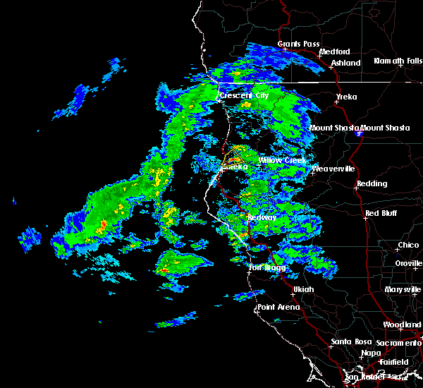
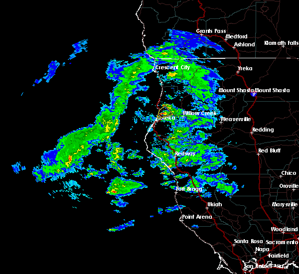
 At 1219 pm pst, doppler radar indicated a severe thunderstorm capable of producing damaging winds in excess of 60 mph. this storm was located 3 miles east of mckinleyville, moving northeast at 25 mph. penny size hail may also accompany the damaging winds. locations impacted include, fieldbrook. At 1219 pm pst, doppler radar indicated a severe thunderstorm capable of producing damaging winds in excess of 60 mph. this storm was located 3 miles east of mckinleyville, moving northeast at 25 mph. penny size hail may also accompany the damaging winds. locations impacted include, fieldbrook.
|
| 12/10/2015 12:09 PM PST |
 At 1208 pm pst, doppler radar indicated a severe thunderstorm capable of producing damaging winds in excess of 60 mph. this storm was located near mckinleyville, or 9 miles north of eureka, and moving northeast at 25 mph. penny size hail may also accompany the damaging winds. At 1208 pm pst, doppler radar indicated a severe thunderstorm capable of producing damaging winds in excess of 60 mph. this storm was located near mckinleyville, or 9 miles north of eureka, and moving northeast at 25 mph. penny size hail may also accompany the damaging winds.
|


Connect with Interactive Hail Maps