| 7/3/2023 2:27 PM MDT |
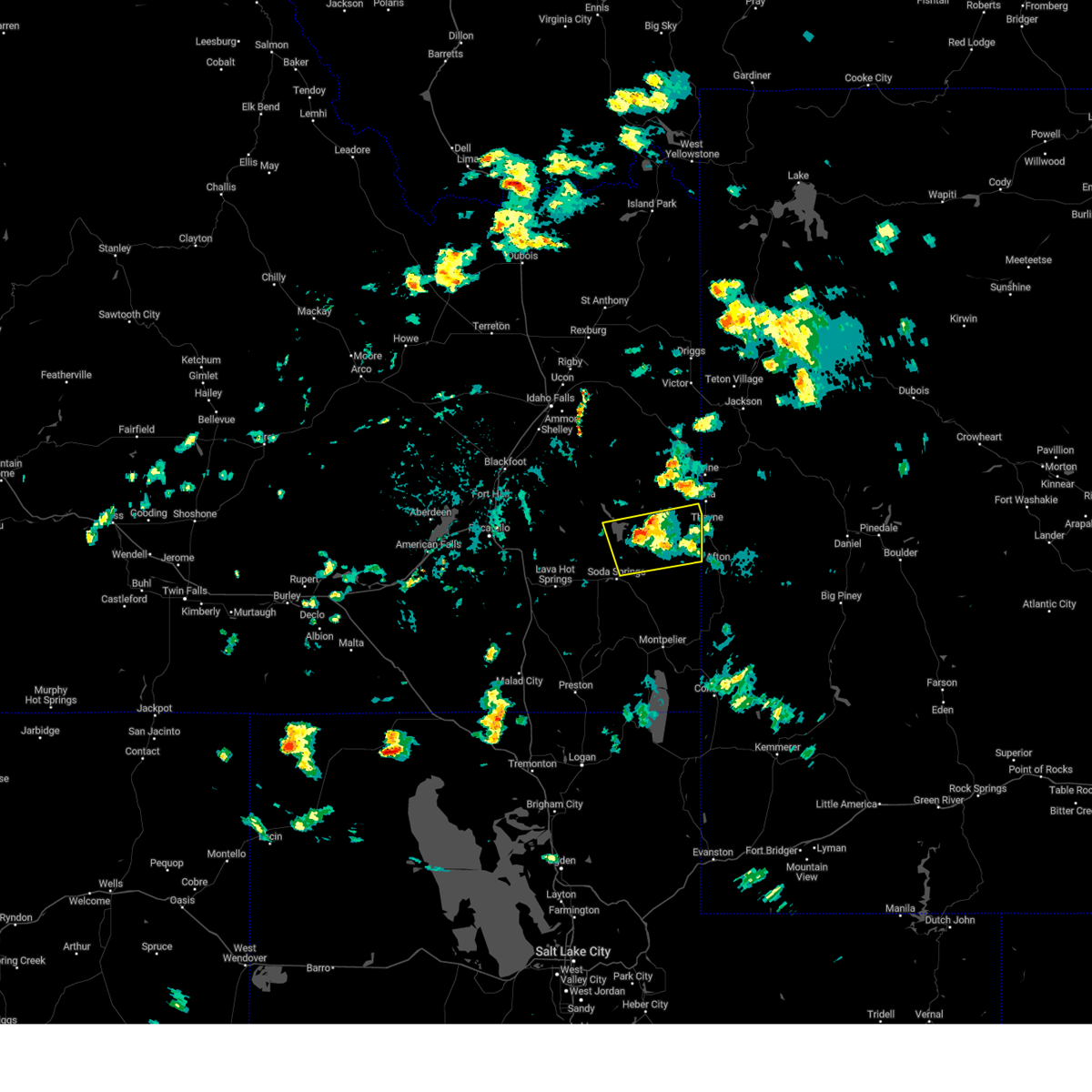 The severe thunderstorm warning for northeastern caribou and southeastern bonneville counties will expire at 230 pm mdt, the storm which prompted the warning has weakened below severe limits, and has exited the warned area. therefore, the warning will be allowed to expire. however small hail, gusty winds and heavy rain are still possible with this thunderstorm. The severe thunderstorm warning for northeastern caribou and southeastern bonneville counties will expire at 230 pm mdt, the storm which prompted the warning has weakened below severe limits, and has exited the warned area. therefore, the warning will be allowed to expire. however small hail, gusty winds and heavy rain are still possible with this thunderstorm.
|
| 7/3/2023 2:05 PM MDT |
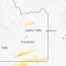
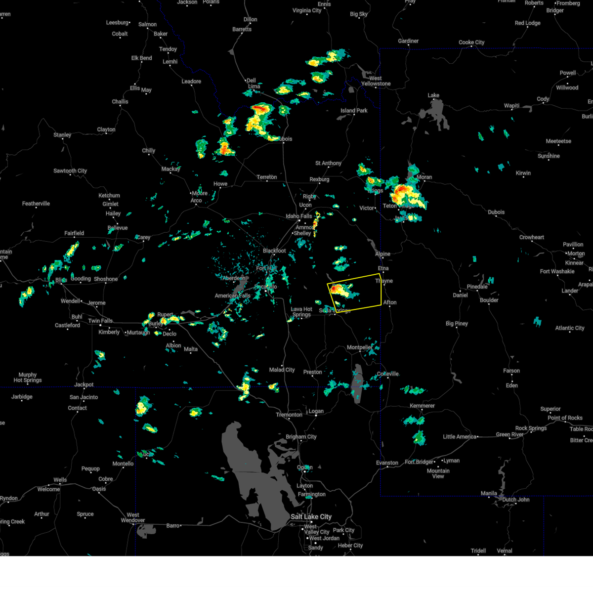 At 204 pm mdt, a severe thunderstorm was located 8 miles south of henry, or 10 miles northeast of soda springs. another severe thunderstorm was located just west of henry. both were moving east at 40 mph (radar indicated). Hazards include 60 mph wind gusts and quarter size hail. Hail damage to vehicles is expected. Expect wind damage to roofs, siding, and trees. At 204 pm mdt, a severe thunderstorm was located 8 miles south of henry, or 10 miles northeast of soda springs. another severe thunderstorm was located just west of henry. both were moving east at 40 mph (radar indicated). Hazards include 60 mph wind gusts and quarter size hail. Hail damage to vehicles is expected. Expect wind damage to roofs, siding, and trees.
|
| 9/2/2021 8:20 PM MDT |
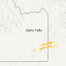
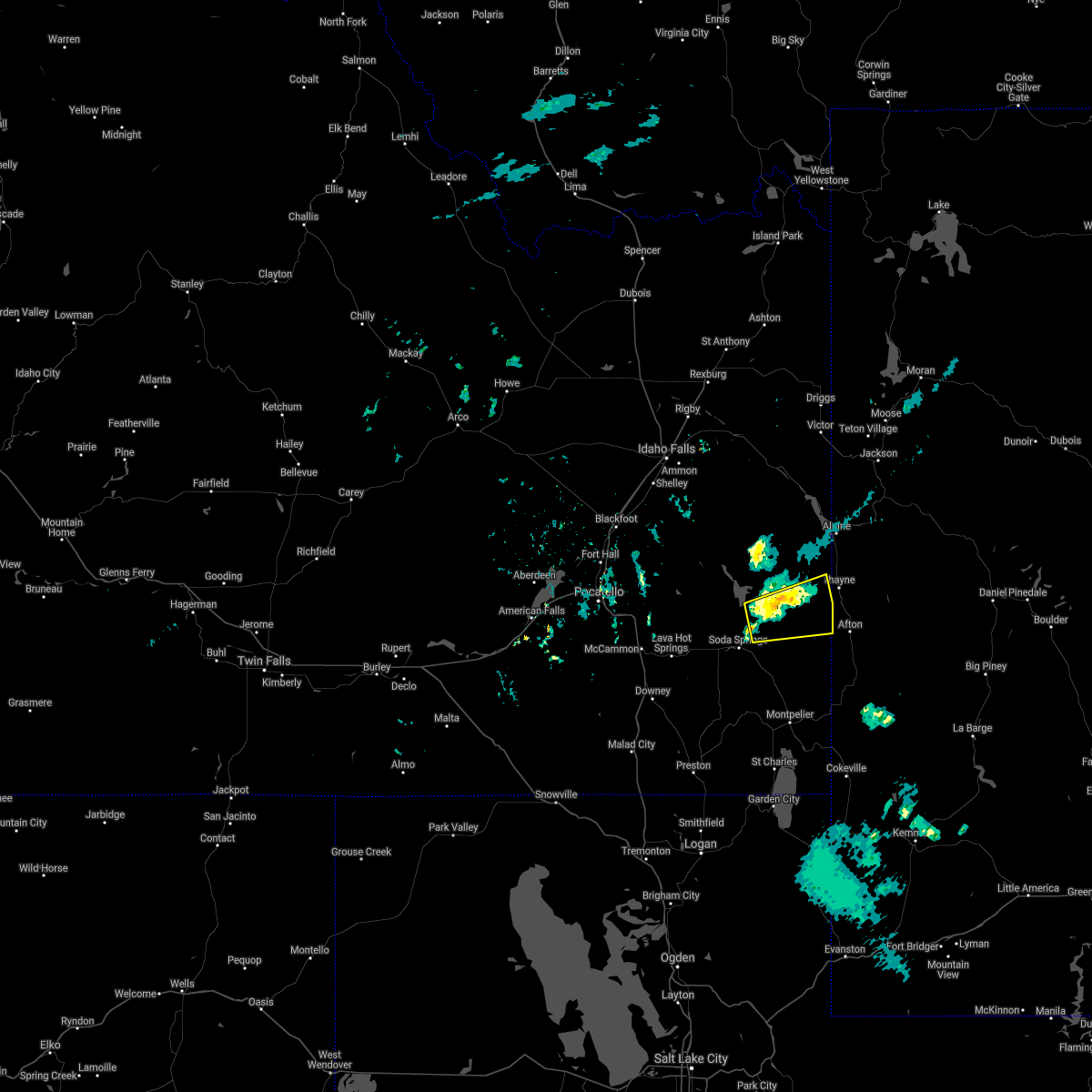 At 820 pm mdt, a severe thunderstorm was located 8 miles southeast of henry, or 11 miles northeast of soda springs, moving east at 30 mph (radar indicated). Hazards include 60 mph wind gusts and quarter size hail. Hail damage to vehicles is expected. Expect wind damage to roofs, siding, and trees. At 820 pm mdt, a severe thunderstorm was located 8 miles southeast of henry, or 11 miles northeast of soda springs, moving east at 30 mph (radar indicated). Hazards include 60 mph wind gusts and quarter size hail. Hail damage to vehicles is expected. Expect wind damage to roofs, siding, and trees.
|
| 6/15/2015 8:25 PM MDT |
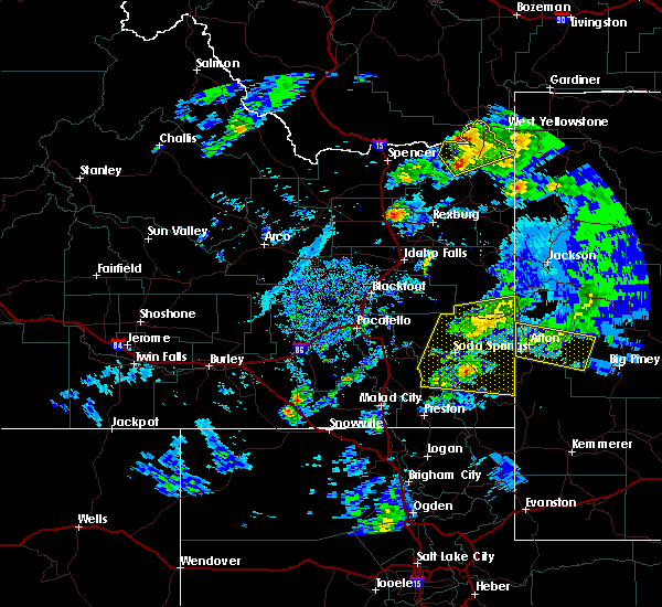 The severe thunderstorm warning for west central lincoln and west central sublette counties will expire at 830 pm mdt, the storm which prompted the warning has weakened below severe limits, and no longer pose an immediate threat to life or property. therefore the warning will be allowed to expire. a severe thunderstorm watch remains in effect until 1100 pm mdt for west central wyoming. The severe thunderstorm warning for west central lincoln and west central sublette counties will expire at 830 pm mdt, the storm which prompted the warning has weakened below severe limits, and no longer pose an immediate threat to life or property. therefore the warning will be allowed to expire. a severe thunderstorm watch remains in effect until 1100 pm mdt for west central wyoming.
|
| 6/15/2015 8:18 PM MDT |
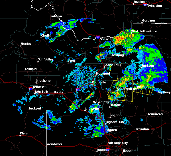 At 816 pm mdt, a severe thunderstorm was located near corral creek guard station, which is 15 miles east of afton, moving east at 40 mph (trained weather spotters. at 8:15pm...quarter size hail was reported in afton). Hazards include quarter size hail. Damage to vehicles is expected. this severe storm will be near, lander peak around 820 pm mdt. middle piney summer home area around 825 pm mdt. other locations impacted by this severe thunderstorm include smoot koa campground, afton star valley medical center, lincoln county fairgrounds, thayne branch library, valli vu golf course, forest park campground, swift creek campground, cottonwood lake campground, middle piney lake campground and afton municipal airport. At 816 pm mdt, a severe thunderstorm was located near corral creek guard station, which is 15 miles east of afton, moving east at 40 mph (trained weather spotters. at 8:15pm...quarter size hail was reported in afton). Hazards include quarter size hail. Damage to vehicles is expected. this severe storm will be near, lander peak around 820 pm mdt. middle piney summer home area around 825 pm mdt. other locations impacted by this severe thunderstorm include smoot koa campground, afton star valley medical center, lincoln county fairgrounds, thayne branch library, valli vu golf course, forest park campground, swift creek campground, cottonwood lake campground, middle piney lake campground and afton municipal airport.
|
| 6/15/2015 8:00 PM MDT |
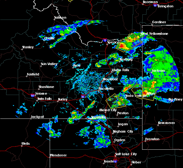 At 758 pm mdt, a severe thunderstorm was located over periodic spring, which is near afton, moving east at 40 mph (radar indicated). Hazards include 60 mph wind gusts and quarter to half dollar size hail. Hail damage to vehicles is expected. expect wind damage to roofs, siding and trees. this severe thunderstorm will be near, corral creek guard station around 815 pm mdt. lander peak and mount coffin around 820 pm mdt. middle piney summer home area and middle piney lake around 825 pm mdt. Other locations impacted by this severe thunderstorm include smoot koa campground, afton star valley medical center, lincoln county fairgrounds, thayne branch library, valli vu golf course, forest park campground, swift creek campground, cottonwood lake campground, middle piney lake campground and afton municipal airport. At 758 pm mdt, a severe thunderstorm was located over periodic spring, which is near afton, moving east at 40 mph (radar indicated). Hazards include 60 mph wind gusts and quarter to half dollar size hail. Hail damage to vehicles is expected. expect wind damage to roofs, siding and trees. this severe thunderstorm will be near, corral creek guard station around 815 pm mdt. lander peak and mount coffin around 820 pm mdt. middle piney summer home area and middle piney lake around 825 pm mdt. Other locations impacted by this severe thunderstorm include smoot koa campground, afton star valley medical center, lincoln county fairgrounds, thayne branch library, valli vu golf course, forest park campground, swift creek campground, cottonwood lake campground, middle piney lake campground and afton municipal airport.
|
| 6/15/2015 7:36 PM MDT |
 At 735 pm mdt, a severe thunderstorm was located 8 miles southwest of star valley rest area, which is 9 miles southwest of thayne, moving east at 40 mph (radar indicated). Hazards include 60 mph wind gusts and quarter size to half dollar size hail. Hail damage to vehicles is expected. expect wind damage to roofs, siding and trees. this severe thunderstorm will be near, star valley rest area around 745 pm mdt. afton, turnerville and grover around 750 pm mdt. periodic spring around 755 pm mdt. Other locations impacted by this severe thunderstorm include smoot koa campground, afton star valley medical center, lincoln county fairgrounds, valli vu golf course, thayne branch library, forest park campground, cedar creek golf course, swift creek campground, cottonwood lake campground and afton municipal airport. At 735 pm mdt, a severe thunderstorm was located 8 miles southwest of star valley rest area, which is 9 miles southwest of thayne, moving east at 40 mph (radar indicated). Hazards include 60 mph wind gusts and quarter size to half dollar size hail. Hail damage to vehicles is expected. expect wind damage to roofs, siding and trees. this severe thunderstorm will be near, star valley rest area around 745 pm mdt. afton, turnerville and grover around 750 pm mdt. periodic spring around 755 pm mdt. Other locations impacted by this severe thunderstorm include smoot koa campground, afton star valley medical center, lincoln county fairgrounds, valli vu golf course, thayne branch library, forest park campground, cedar creek golf course, swift creek campground, cottonwood lake campground and afton municipal airport.
|
| 6/1/2015 6:28 PM MDT |
The severe thunderstorm warning for southeastern caribou, northeastern franklin and northern bear lake counties will expire at 630 pm mdt, the storm which prompted the warning has weakened below severe limits, and no longer poses an immediate threat to life or property. therefore the warning will be allowed to expire.
|
| 6/1/2015 5:47 PM MDT |
At 547 pm mdt, doppler radar indicated a severe thunderstorm capable of producing quarter size hail and damaging winds in excess of 60 mph. this storm was located near georgetown, or 12 miles northwest of montpelier, and moving northeast at 45 mph.
|




Connect with Interactive Hail Maps