| 7/16/2024 6:18 PM PDT |
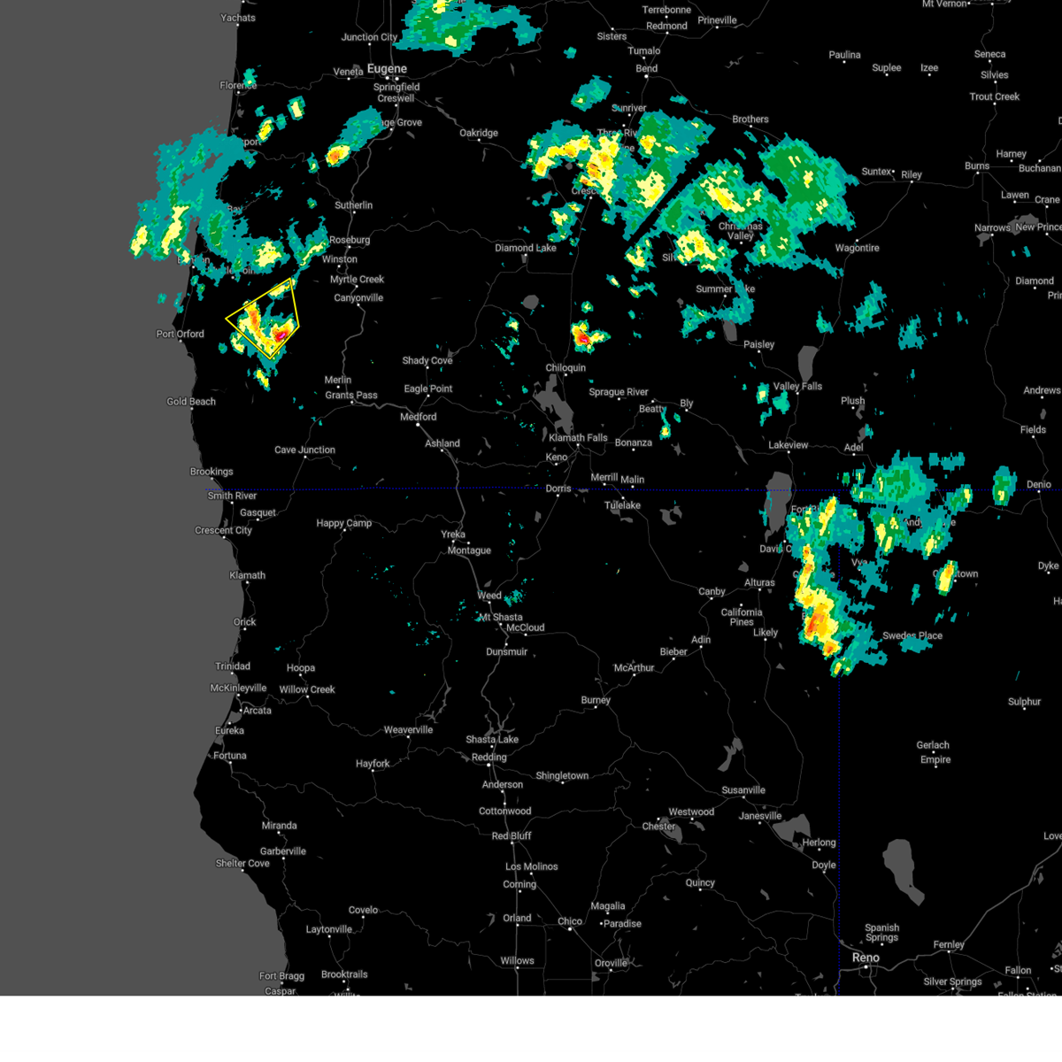 At 617 pm pdt, a severe thunderstorm was located 11 miles southeast of powers, or 32 miles east of port orford, moving northwest at 25 mph (radar indicated). Hazards include 60 mph wind gusts and quarter size hail. Hail damage to vehicles is expected. expect wind damage to roofs, siding, and trees. Locations impacted include, powers. At 617 pm pdt, a severe thunderstorm was located 11 miles southeast of powers, or 32 miles east of port orford, moving northwest at 25 mph (radar indicated). Hazards include 60 mph wind gusts and quarter size hail. Hail damage to vehicles is expected. expect wind damage to roofs, siding, and trees. Locations impacted include, powers.
|
| 7/16/2024 6:18 PM PDT |
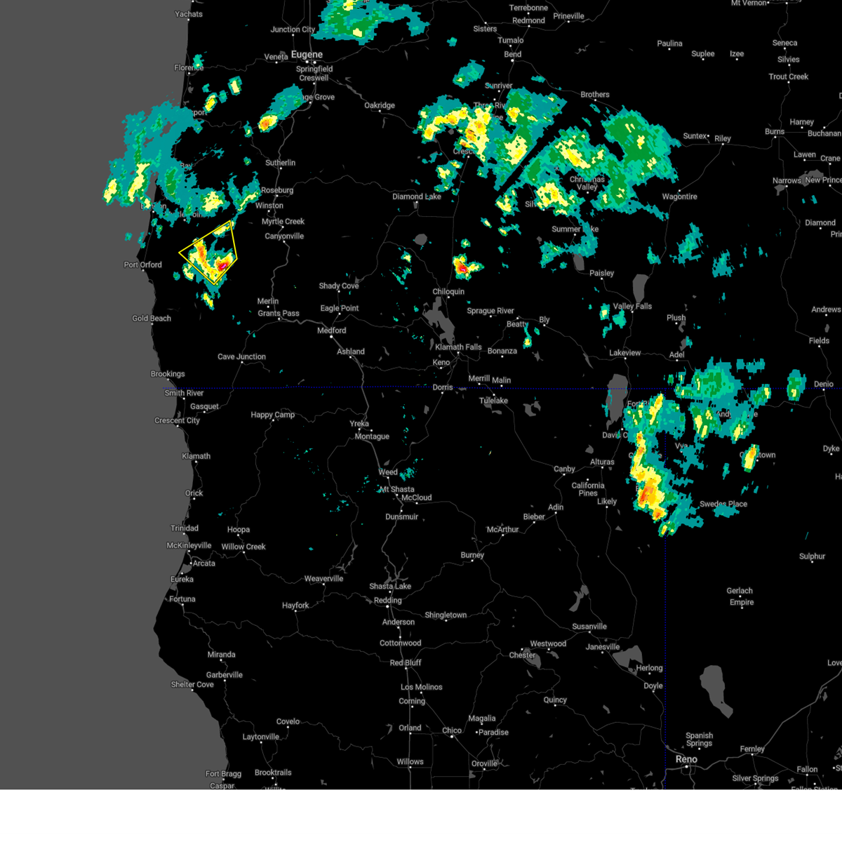 the severe thunderstorm warning has been cancelled and is no longer in effect the severe thunderstorm warning has been cancelled and is no longer in effect
|
| 7/16/2024 5:54 PM PDT |
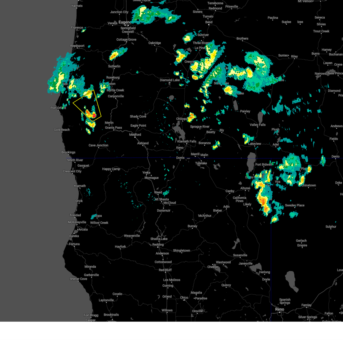 Svrmfr the national weather service in medford has issued a * severe thunderstorm warning for, northeastern curry county in southwestern oregon, southwestern douglas county in southwestern oregon, north central josephine county in southwestern oregon, southeastern coos county in southwestern oregon, * until 630 pm pdt. * at 554 pm pdt, a severe thunderstorm was located near bear camp viewpoint, or 27 miles northwest of grants pass, moving northwest at 25 mph (radar indicated). Hazards include 60 mph wind gusts and quarter size hail. Hail damage to vehicles is expected. Expect wind damage to roofs, siding, and trees. Svrmfr the national weather service in medford has issued a * severe thunderstorm warning for, northeastern curry county in southwestern oregon, southwestern douglas county in southwestern oregon, north central josephine county in southwestern oregon, southeastern coos county in southwestern oregon, * until 630 pm pdt. * at 554 pm pdt, a severe thunderstorm was located near bear camp viewpoint, or 27 miles northwest of grants pass, moving northwest at 25 mph (radar indicated). Hazards include 60 mph wind gusts and quarter size hail. Hail damage to vehicles is expected. Expect wind damage to roofs, siding, and trees.
|
| 7/16/2024 5:17 PM PDT |
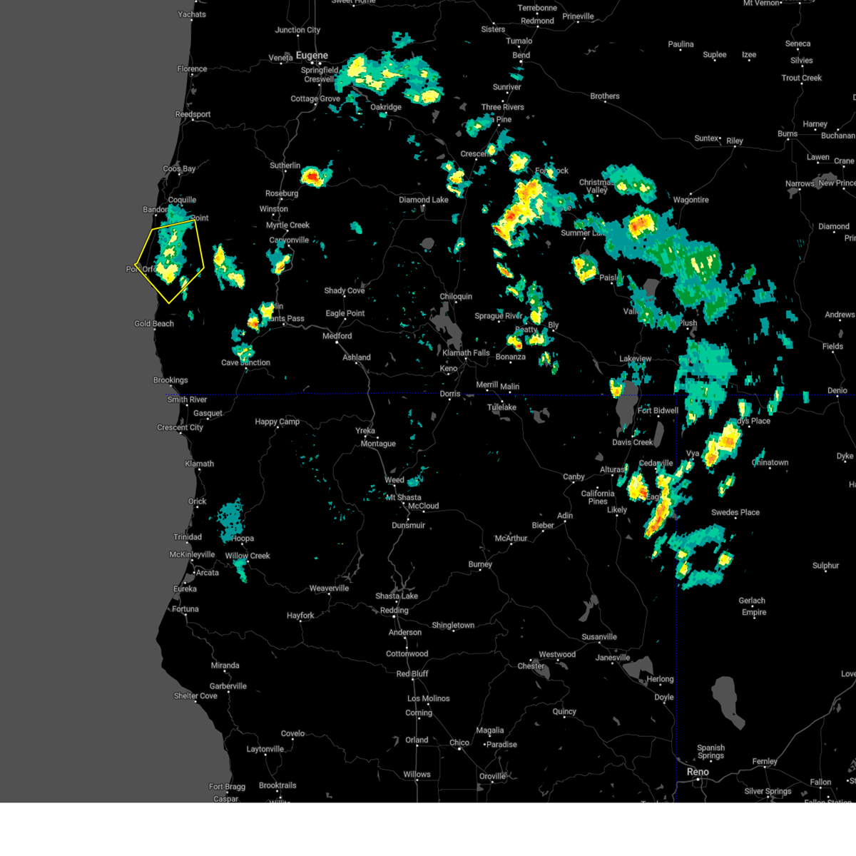 the severe thunderstorm warning has been cancelled and is no longer in effect the severe thunderstorm warning has been cancelled and is no longer in effect
|
| 7/16/2024 5:08 PM PDT |
the severe thunderstorm warning has been cancelled and is no longer in effect
|
| 7/16/2024 5:08 PM PDT |
At 508 pm pdt, a severe thunderstorm was located 8 miles southeast of sixes river campground, or 16 miles east of port orford, moving northwest at 25 mph (radar indicated). Hazards include 60 mph wind gusts and penny size hail. Expect damage to roofs, siding, and trees. Locations impacted include, port orford, myrtle point, powers, langlois, sixes, humbug mountain state park, sixes river campground, edson creek campground, cape blanco state park, and denmark.
|
| 7/16/2024 4:25 PM PDT |
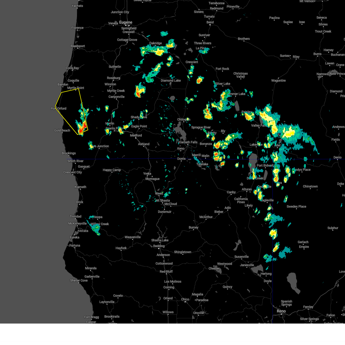 Svrmfr the national weather service in medford has issued a * severe thunderstorm warning for, northern curry county in southwestern oregon, northwestern josephine county in southwestern oregon, southwestern coos county in southwestern oregon, * until 530 pm pdt. * at 425 pm pdt, a severe thunderstorm was located near agness, or 29 miles northwest of cave junction, moving northwest at 25 mph (radar indicated). Hazards include 60 mph wind gusts and nickel size hail. expect damage to roofs, siding, and trees Svrmfr the national weather service in medford has issued a * severe thunderstorm warning for, northern curry county in southwestern oregon, northwestern josephine county in southwestern oregon, southwestern coos county in southwestern oregon, * until 530 pm pdt. * at 425 pm pdt, a severe thunderstorm was located near agness, or 29 miles northwest of cave junction, moving northwest at 25 mph (radar indicated). Hazards include 60 mph wind gusts and nickel size hail. expect damage to roofs, siding, and trees
|
| 1/15/2020 1:54 PM PST |
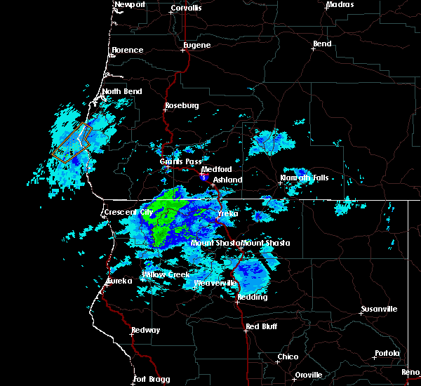 At 152 pm pst, a severe thunderstorm was located 9 miles southwest of port orford, moving northeast at 45 mph (radar indicated). Hazards include 60 mph wind gusts and penny size hail. expect damage to roofs, siding, and trees At 152 pm pst, a severe thunderstorm was located 9 miles southwest of port orford, moving northeast at 45 mph (radar indicated). Hazards include 60 mph wind gusts and penny size hail. expect damage to roofs, siding, and trees
|


Connect with Interactive Hail Maps