

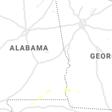
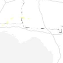
Hail Map for Thursday, November 26, 2020

Number of Impacted Households on 11/26/2020
0
Impacted by 1" or Larger Hail
0
Impacted by 1.75" or Larger Hail
0
Impacted by 2.5" or Larger Hail
Square Miles of Populated Area Impacted on 11/26/2020
0
Impacted by 1" or Larger Hail
0
Impacted by 1.75" or Larger Hail
0
Impacted by 2.5" or Larger Hail

Cities Most Affected by Hail Storms of 11/26/2020
| Hail Size | Demographics of Zip Codes Affected | ||||||
|---|---|---|---|---|---|---|---|
| City | Count | Average | Largest | Pop Density | House Value | Income | Age |
Hail and Wind Damage Spotted on 11/26/2020
Filter by Report Type:Hail ReportsWind Reports
States Impacted
GeorgiaGeorgia
| Local Time | Report Details |
|---|---|
| 1:19 PM EST | Tree down and pea size hail reported in early count in early county GA, 71.2 miles NNW of Tallahassee, FL |
Connect with Interactive Hail Maps