

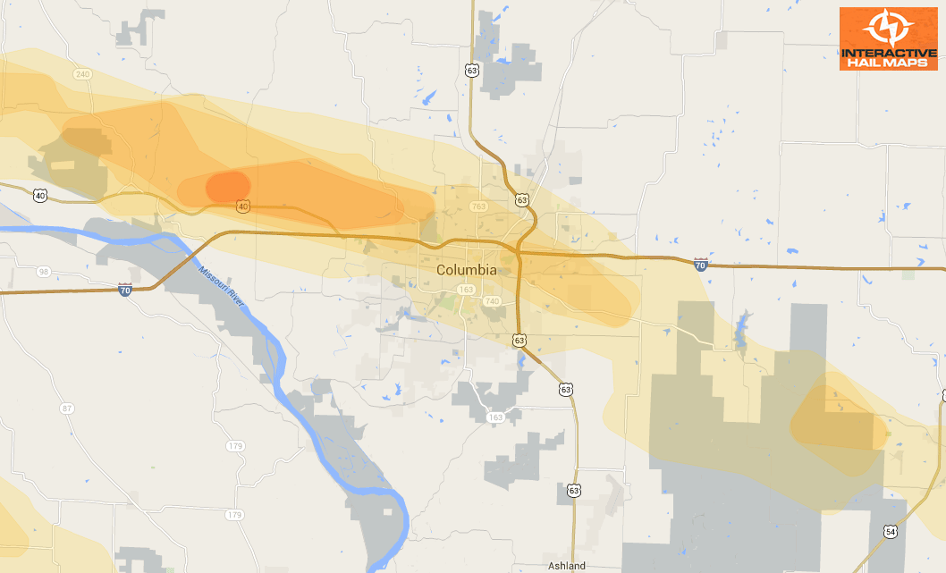
Hail Map for Dallas, TX June 13, 2012
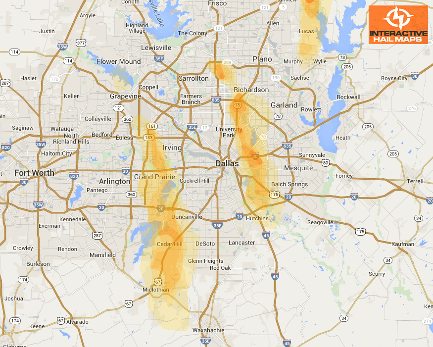
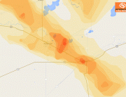
Here is the hail map for the hail storms in Dallas/Fort Worth, TX on June 13, 2012. There are many reports of badly damaged cars and roofs in Irving, Grand Prairie, and East Dallas. Use Interactive Hail Maps to find the hail areas that others have overlooked with street level accuracy.
Cities Most Affected by Hail Storms of 6/13/2012
| Hail Size | Demographics of Zip Codes Affected | ||||||
|---|---|---|---|---|---|---|---|
| City | Count | Average | Largest | Pop Density | House Value | Income | Age |
| Dallas, TX | 10 | 2.15 | 2.75 | 4035 | $222k | $42.1k | 33.6 |
| Grand Prairie, TX | 5 | 2.65 | 3.00 | 1887 | $75k | $38.8k | 30.5 |
| Irving, TX | 3 | 2.42 | 2.75 | 4932 | $90k | $37.3k | 30.3 |
| Harrison, SD | 3 | 2.08 | 2.75 | 4 | $19k | $30.0k | 45.1 |
| Midlothian, TX | 2 | 2.25 | 2.75 | 318 | $112k | $60.9k | 35.6 |
| Leonard, TX | 1 | 4.25 | 4.25 | 43 | $63k | $37.5k | 39.5 |
| Plano, TX | 2 | 1.88 | 2.00 | 3476 | $139k | $71.5k | 41.3 |
| Elwood, NE | 2 | 1.75 | 1.75 | 9 | $81k | $37.8k | 50.5 |
| Allen, TX | 1 | 3.00 | 3.00 | 1758 | $135k | $74.1k | 35.0 |
| Wolsey, SD | 1 | 2.50 | 2.50 | 3 | $39k | $35.8k | 44.8 |
| Duncanville, TX | 1 | 2.00 | 2.00 | 3972 | $83k | $45.3k | 33.3 |
| Whitehouse, TX | 1 | 1.75 | 1.75 | 332 | $88k | $49.3k | 35.6 |
| Wessington, SD | 1 | 1.75 | 1.75 | 2 | $22k | $28.7k | 50.5 |
| Huron, SD | 1 | 1.75 | 1.75 | 47 | $59k | $30.0k | 40.5 |
| Deridder, LA | 1 | 1.75 | 1.75 | 59 | $67k | $33.2k | 36.8 |
| Wessington Springs, SD | 1 | 1.75 | 1.75 | 2 | $43k | $30.0k | 50.1 |
| Platte, SD | 1 | 1.75 | 1.75 | 3 | $60k | $30.6k | 45.1 |
| Gann Valley, SD | 1 | 1.75 | 1.75 | 0 | $28k | $27.9k | 40.8 |

Connect with Interactive Hail Maps