| 8/5/2024 4:18 PM PDT |
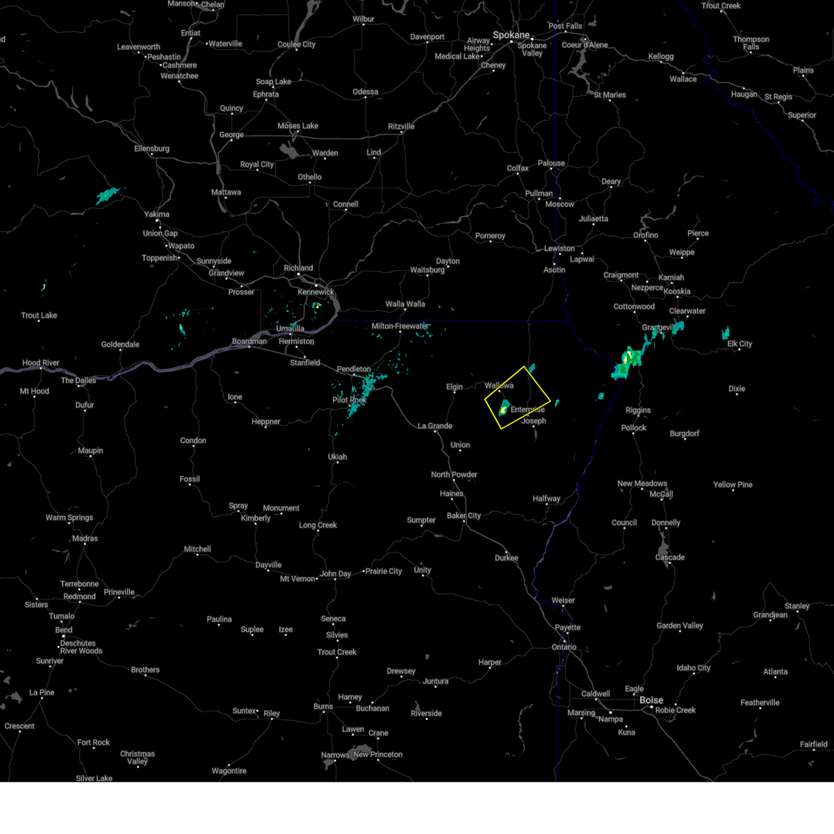 the severe thunderstorm warning has been cancelled and is no longer in effect the severe thunderstorm warning has been cancelled and is no longer in effect
|
| 8/5/2024 4:18 PM PDT |
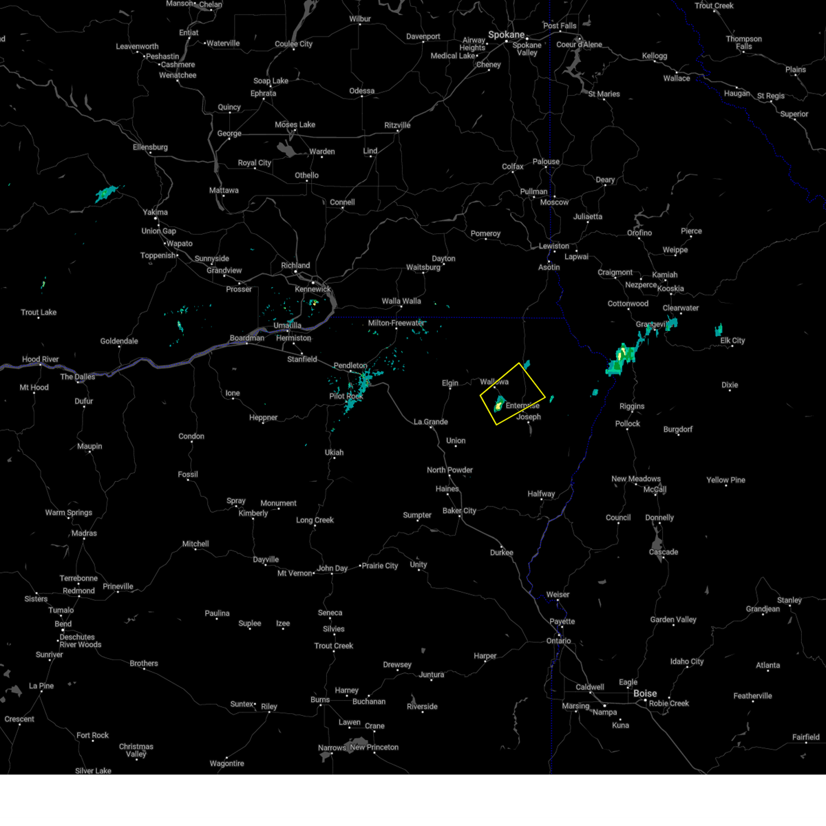 At 417 pm pdt, a severe thunderstorm was located near lostine, or 11 miles west of enterprise, moving northeast at 25 mph (radar indicated). Hazards include quarter size hail. Damage to vehicles is expected. Locations impacted include, wallowa and lostine. At 417 pm pdt, a severe thunderstorm was located near lostine, or 11 miles west of enterprise, moving northeast at 25 mph (radar indicated). Hazards include quarter size hail. Damage to vehicles is expected. Locations impacted include, wallowa and lostine.
|
| 8/5/2024 4:00 PM PDT |
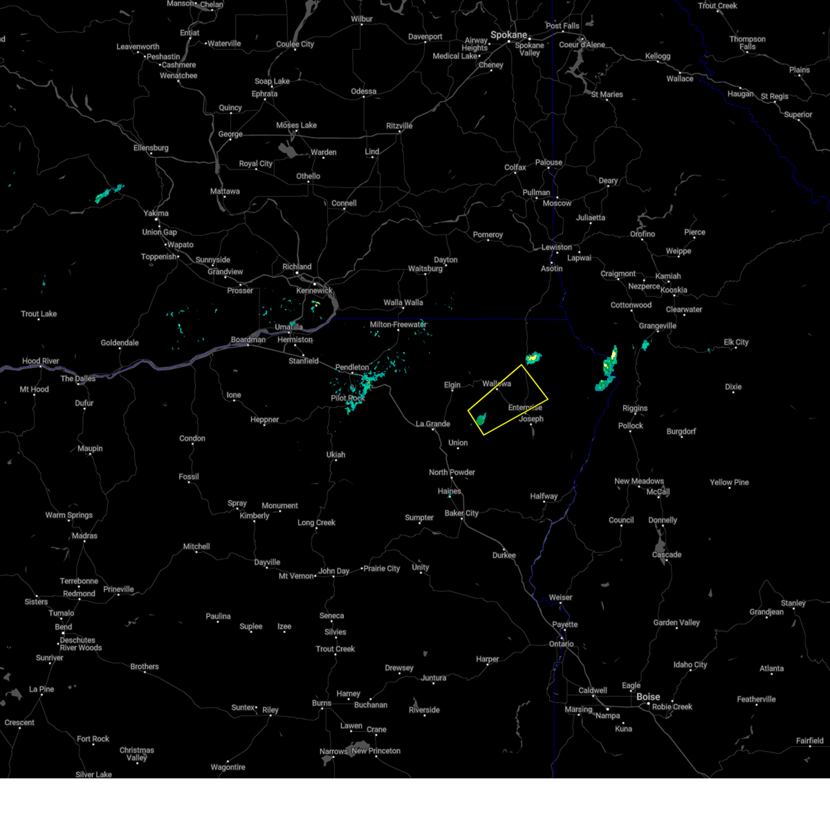 Svrpdt the national weather service in pendleton oregon has issued a * severe thunderstorm warning for, east central union county in northeastern oregon, central wallowa county in northeastern oregon, * until 500 pm pdt. * at 359 pm pdt, a severe thunderstorm was located 10 miles southwest of lostine, or 16 miles west of enterprise, moving northeast at 25 mph (radar indicated). Hazards include quarter size hail. damage to vehicles is expected Svrpdt the national weather service in pendleton oregon has issued a * severe thunderstorm warning for, east central union county in northeastern oregon, central wallowa county in northeastern oregon, * until 500 pm pdt. * at 359 pm pdt, a severe thunderstorm was located 10 miles southwest of lostine, or 16 miles west of enterprise, moving northeast at 25 mph (radar indicated). Hazards include quarter size hail. damage to vehicles is expected
|
| 7/24/2024 4:41 PM PDT |
Several downed trees. power outages. time estimated from rada in wallowa county OR, 0.4 miles SSW of Enterprise, OR
|
| 5/31/2020 2:08 AM PDT |
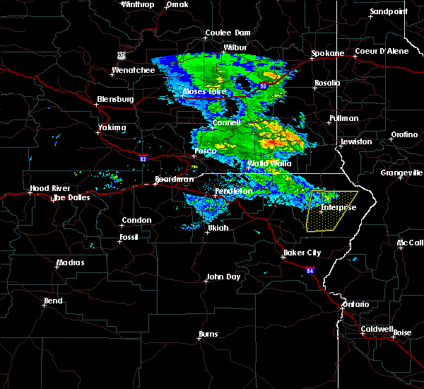 The severe thunderstorm warning for central wallowa county will expire at 215 am pdt, the storm which prompted the warning has weakened below severe limits, and no longer poses an immediate threat to life or property. therefore, the warning will be allowed to expire. however small hail is still possible with this thunderstorm. The severe thunderstorm warning for central wallowa county will expire at 215 am pdt, the storm which prompted the warning has weakened below severe limits, and no longer poses an immediate threat to life or property. therefore, the warning will be allowed to expire. however small hail is still possible with this thunderstorm.
|
| 5/31/2020 1:52 AM PDT |
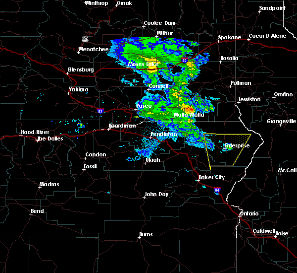 At 151 am pdt, a severe thunderstorm was located 19 miles southwest of riggins, or 29 miles northwest of mccall, moving northeast at 55 mph (radar indicated). Hazards include 70 mph wind gusts and half dollar size hail. Hail damage to vehicles is expected. expect considerable tree damage. wind damage is also likely to mobile homes, roofs, and outbuildings. Locations impacted include, enterprise, joseph and lostine. At 151 am pdt, a severe thunderstorm was located 19 miles southwest of riggins, or 29 miles northwest of mccall, moving northeast at 55 mph (radar indicated). Hazards include 70 mph wind gusts and half dollar size hail. Hail damage to vehicles is expected. expect considerable tree damage. wind damage is also likely to mobile homes, roofs, and outbuildings. Locations impacted include, enterprise, joseph and lostine.
|
| 5/31/2020 1:15 AM PDT |
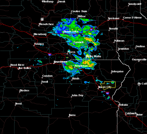 At 114 am pdt, a severe thunderstorm was located 24 miles east of pondosa, or 32 miles south of enterprise, moving northeast at 55 mph (radar indicated). Hazards include 70 mph wind gusts and half dollar size hail. Hail damage to vehicles is expected. expect considerable tree damage. Wind damage is also likely to mobile homes, roofs, and outbuildings. At 114 am pdt, a severe thunderstorm was located 24 miles east of pondosa, or 32 miles south of enterprise, moving northeast at 55 mph (radar indicated). Hazards include 70 mph wind gusts and half dollar size hail. Hail damage to vehicles is expected. expect considerable tree damage. Wind damage is also likely to mobile homes, roofs, and outbuildings.
|
| 8/22/2013 6:00 PM PDT |
Odot report of trees down across highway 350 at mp 16. in wallowa county OR, 12.9 miles SW of Enterprise, OR
|
| 1/1/0001 12:00 AM |
Quarter sized hail reported 38.8 miles S of Enterprise, OR, hail from pea size and up to the size of a quarter. in 20 minutes received 0.60 inches rain but did not cause flooding. peak gusts around 30 mph both from the north ahe
|
| 1/1/0001 12:00 AM |
Quarter sized hail reported 6.4 miles W of Enterprise, OR, quarter size hail covered the ground. hail chipped paint on the car. heavy rain for five minutes.
|
 the severe thunderstorm warning has been cancelled and is no longer in effect
 At 417 pm pdt, a severe thunderstorm was located near lostine, or 11 miles west of enterprise, moving northeast at 25 mph (radar indicated). Hazards include quarter size hail. Damage to vehicles is expected. Locations impacted include, wallowa and lostine.
 Svrpdt the national weather service in pendleton oregon has issued a * severe thunderstorm warning for, east central union county in northeastern oregon, central wallowa county in northeastern oregon, * until 500 pm pdt. * at 359 pm pdt, a severe thunderstorm was located 10 miles southwest of lostine, or 16 miles west of enterprise, moving northeast at 25 mph (radar indicated). Hazards include quarter size hail. damage to vehicles is expected
 The severe thunderstorm warning for central wallowa county will expire at 215 am pdt, the storm which prompted the warning has weakened below severe limits, and no longer poses an immediate threat to life or property. therefore, the warning will be allowed to expire. however small hail is still possible with this thunderstorm.
 At 151 am pdt, a severe thunderstorm was located 19 miles southwest of riggins, or 29 miles northwest of mccall, moving northeast at 55 mph (radar indicated). Hazards include 70 mph wind gusts and half dollar size hail. Hail damage to vehicles is expected. expect considerable tree damage. wind damage is also likely to mobile homes, roofs, and outbuildings. Locations impacted include, enterprise, joseph and lostine.
 At 114 am pdt, a severe thunderstorm was located 24 miles east of pondosa, or 32 miles south of enterprise, moving northeast at 55 mph (radar indicated). Hazards include 70 mph wind gusts and half dollar size hail. Hail damage to vehicles is expected. expect considerable tree damage. Wind damage is also likely to mobile homes, roofs, and outbuildings.


Connect with Interactive Hail Maps