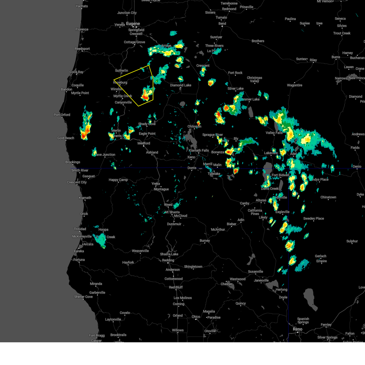
| 7/16/2024 5:09 PM PDT |
At 509 pm pdt, a severe thunderstorm was located over wolf creek falls, or 19 miles east of roseburg, moving north at 20 mph (radar indicated). Hazards include 60 mph wind gusts and penny size hail. Expect damage to roofs, siding, and trees. Locations impacted include, roseburg, susan creek falls trail, roseburg north, wolf creek falls, bogus creek recreation site, rock creek campground, cavitt creek falls recreation site, swiftwater trailhead, winchester, baker memorial park, millpond and lone pine recreation sites, and glide.
|
| 7/16/2024 4:27 PM PDT |
 Svrmfr the national weather service in medford has issued a * severe thunderstorm warning for, central douglas county in southwestern oregon, * until 530 pm pdt. * at 427 pm pdt, a severe thunderstorm was located near three c rock campground, or 28 miles southeast of roseburg, moving north at 20 mph (radar indicated). Hazards include 60 mph wind gusts and nickel size hail. expect damage to roofs, siding, and trees Svrmfr the national weather service in medford has issued a * severe thunderstorm warning for, central douglas county in southwestern oregon, * until 530 pm pdt. * at 427 pm pdt, a severe thunderstorm was located near three c rock campground, or 28 miles southeast of roseburg, moving north at 20 mph (radar indicated). Hazards include 60 mph wind gusts and nickel size hail. expect damage to roofs, siding, and trees
|


Connect with Interactive Hail Maps