Hail Map for Lacey, WA
The Lacey, WA area has had 0 reports of on-the-ground hail by trained spotters, and has been under severe weather warnings 0 times during the past 12 months. Doppler radar has detected hail at or near Lacey, WA on 1 occasion.
| Name: | Lacey, WA |
| Where Located: | 44.2 miles SSW of Seattle, WA |
| Map: | Google Map for Lacey, WA |
| Population: | 42393 |
| Housing Units: | 18493 |
| More Info: | Search Google for Lacey, WA |
Hail and Wind Damage Spotted near Lacey, WA
| Date / Time | Report Details |
|---|---|
| 5/4/2017 5:20 PM PDT | Trees downed...one onto home. a power pole was also snappe in thurston county WA, 1.5 miles NE of Lacey, WA |
| 5/4/2017 5:03 PM PDT |
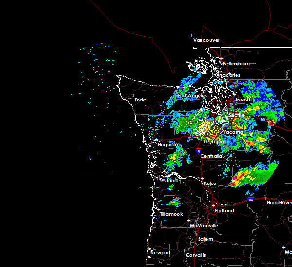
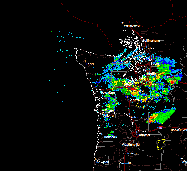
 At 501 pm pdt, a severe thunderstorm was located near dupont, or 10 miles northeast of olympia, moving northeast at 40 mph (radar indicated. earlier this afternoon, tree damage was reported near grand mound. olympia airport reported a gust of 50 mph). Hazards include quarter size hail. Damage to vehicles is expected. Locations impacted include, tacoma, lacey, dupont, fox island, lakewood, university place, fircrest, steilacoom, fort lewis and mcchord afb. At 501 pm pdt, a severe thunderstorm was located near dupont, or 10 miles northeast of olympia, moving northeast at 40 mph (radar indicated. earlier this afternoon, tree damage was reported near grand mound. olympia airport reported a gust of 50 mph). Hazards include quarter size hail. Damage to vehicles is expected. Locations impacted include, tacoma, lacey, dupont, fox island, lakewood, university place, fircrest, steilacoom, fort lewis and mcchord afb.
|
| 5/4/2017 4:45 PM PDT |
 At 444 pm pdt, a severe thunderstorm was located over lacey, or near olympia, moving northeast at 40 mph (radar indicated). Hazards include quarter size hail. damage to vehicles is expected At 444 pm pdt, a severe thunderstorm was located over lacey, or near olympia, moving northeast at 40 mph (radar indicated). Hazards include quarter size hail. damage to vehicles is expected
|
| 5/4/2017 4:14 PM PDT |
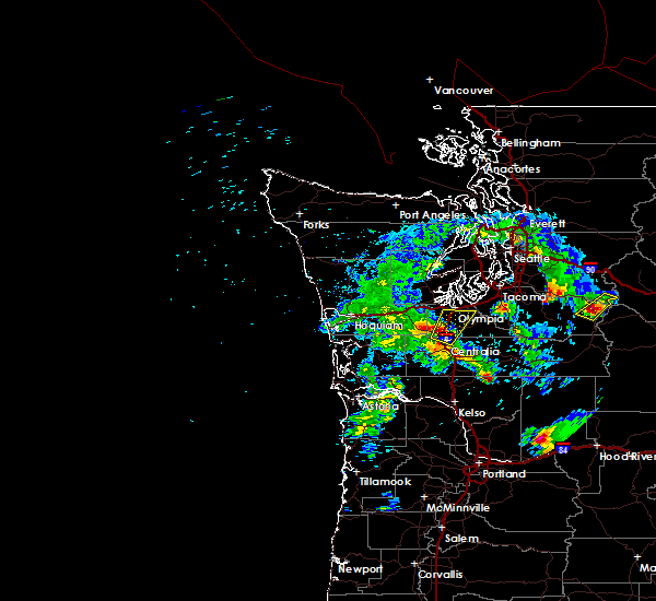
 At 413 pm pdt, a severe thunderstorm was located near rochester, or near centralia, moving north at 45 mph (radar indicated). Hazards include quarter size hail. damage to vehicles is expected At 413 pm pdt, a severe thunderstorm was located near rochester, or near centralia, moving north at 45 mph (radar indicated). Hazards include quarter size hail. damage to vehicles is expected
|


Connect with Interactive Hail Maps