| 4/1/2025 3:12 PM PDT |
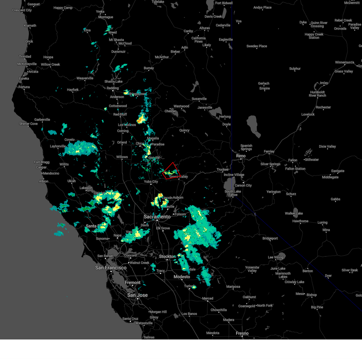 The storm which prompted the warning has weakened below severe limits, and no longer appears capable of producing a tornado. therefore, the warning will be allowed to expire. however small hail, funnel clouds, and gusty winds are still possible with this thunderstorm, and a special weather statement remains in effect through 400 pm pdt. The storm which prompted the warning has weakened below severe limits, and no longer appears capable of producing a tornado. therefore, the warning will be allowed to expire. however small hail, funnel clouds, and gusty winds are still possible with this thunderstorm, and a special weather statement remains in effect through 400 pm pdt.
|
| 4/1/2025 2:53 PM PDT |
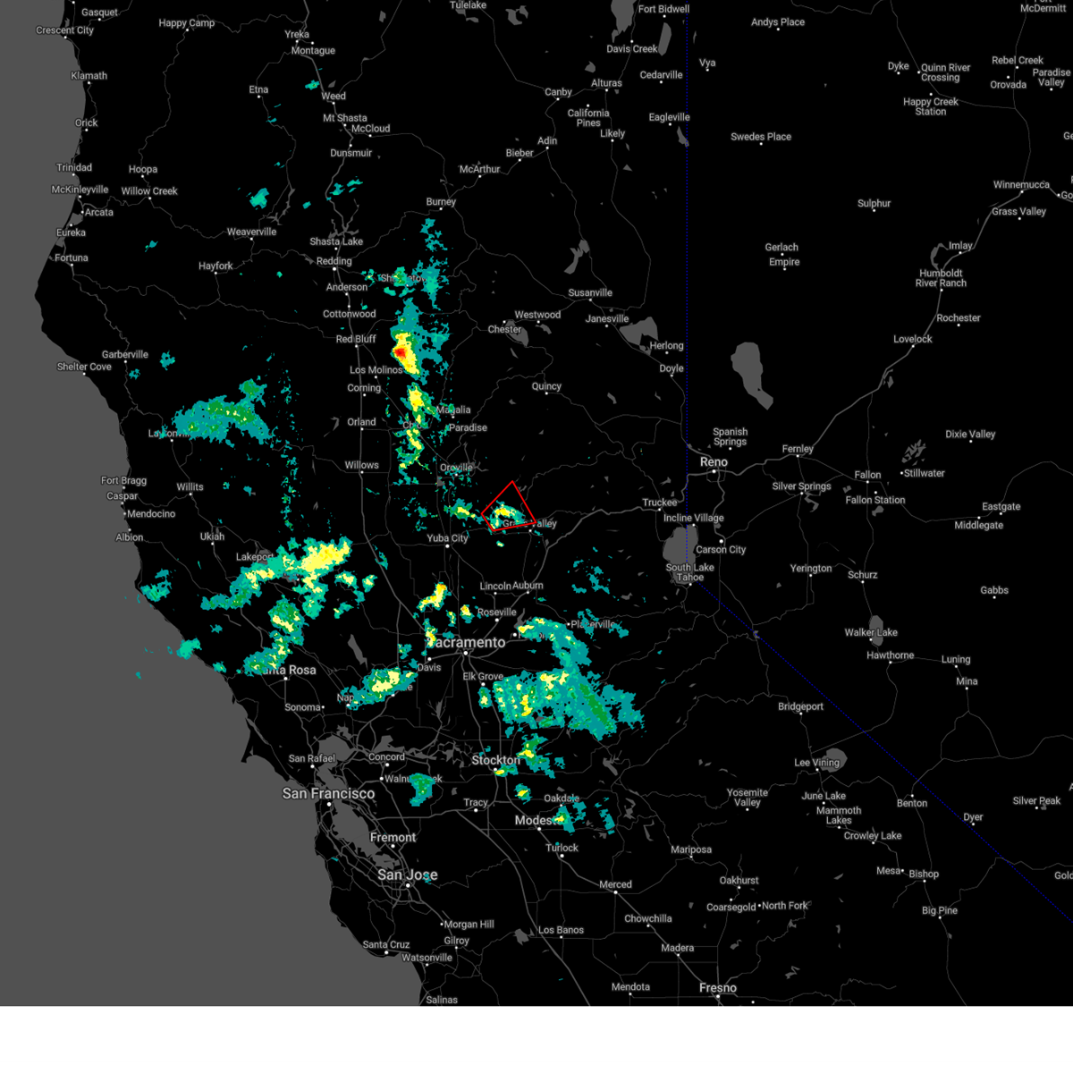 At 252 pm pdt, a severe thunderstorm capable of producing a tornado was located near dobbins, or 9 miles northwest of grass valley, moving east at 15 mph (radar indicated rotation). Hazards include tornado and quarter size hail. Flying debris will be dangerous to those caught without shelter. mobile homes will be damaged or destroyed. damage to roofs, windows, and vehicles will occur. tree damage is likely. this dangerous storm will be near, sweetland, delevan national wildlife refuge, and dobbins around 255 pm pdt. Other locations impacted by this tornadic thunderstorm include nevada city and loma rica. At 252 pm pdt, a severe thunderstorm capable of producing a tornado was located near dobbins, or 9 miles northwest of grass valley, moving east at 15 mph (radar indicated rotation). Hazards include tornado and quarter size hail. Flying debris will be dangerous to those caught without shelter. mobile homes will be damaged or destroyed. damage to roofs, windows, and vehicles will occur. tree damage is likely. this dangerous storm will be near, sweetland, delevan national wildlife refuge, and dobbins around 255 pm pdt. Other locations impacted by this tornadic thunderstorm include nevada city and loma rica.
|
| 4/1/2025 2:24 PM PDT |
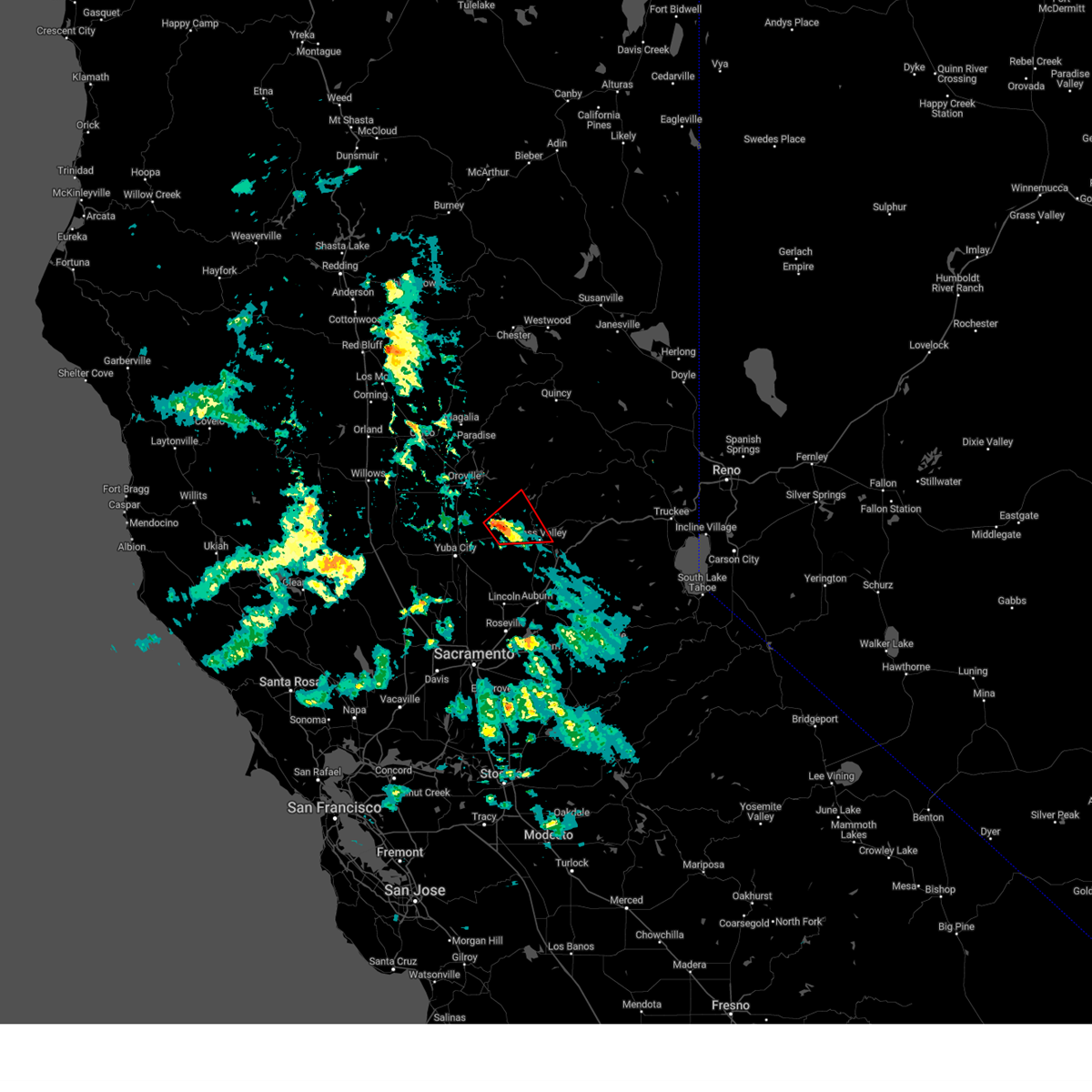 Torsto the national weather service in sacramento has issued a * tornado warning for, central yuba county in central california, west central nevada county in northern california, * until 315 pm pdt. * at 224 pm pdt, a severe thunderstorm capable of producing a tornado was located near timbuctoo, or 14 miles west of grass valley, moving east at 15 mph (radar indicated rotation). Hazards include tornado and quarter size hail. Flying debris will be dangerous to those caught without shelter. mobile homes will be damaged or destroyed. damage to roofs, windows, and vehicles will occur. tree damage is likely. this dangerous storm will be near, lake wildwood around 240 pm pdt. sweetland, delevan national wildlife refuge, and dobbins around 255 pm pdt. Other locations impacted by this tornadic thunderstorm include loma rica, nevada city, and penn valley. Torsto the national weather service in sacramento has issued a * tornado warning for, central yuba county in central california, west central nevada county in northern california, * until 315 pm pdt. * at 224 pm pdt, a severe thunderstorm capable of producing a tornado was located near timbuctoo, or 14 miles west of grass valley, moving east at 15 mph (radar indicated rotation). Hazards include tornado and quarter size hail. Flying debris will be dangerous to those caught without shelter. mobile homes will be damaged or destroyed. damage to roofs, windows, and vehicles will occur. tree damage is likely. this dangerous storm will be near, lake wildwood around 240 pm pdt. sweetland, delevan national wildlife refuge, and dobbins around 255 pm pdt. Other locations impacted by this tornadic thunderstorm include loma rica, nevada city, and penn valley.
|
| 4/13/2017 3:55 PM PDT |
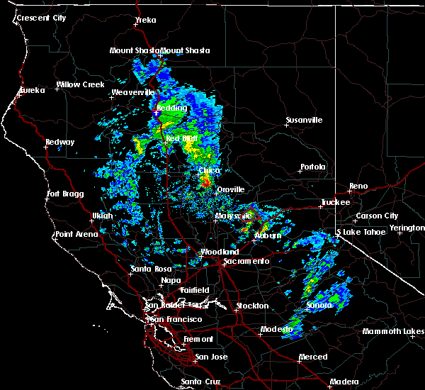 The tornado warning for west central nevada county will expire at 400 pm pdt, the storm which prompted the warning has weakened below severe limits, and no longer appears capable of producing a tornado. therefore the warning will be allowed to expire. The tornado warning for west central nevada county will expire at 400 pm pdt, the storm which prompted the warning has weakened below severe limits, and no longer appears capable of producing a tornado. therefore the warning will be allowed to expire.
|
| 4/13/2017 3:35 PM PDT |
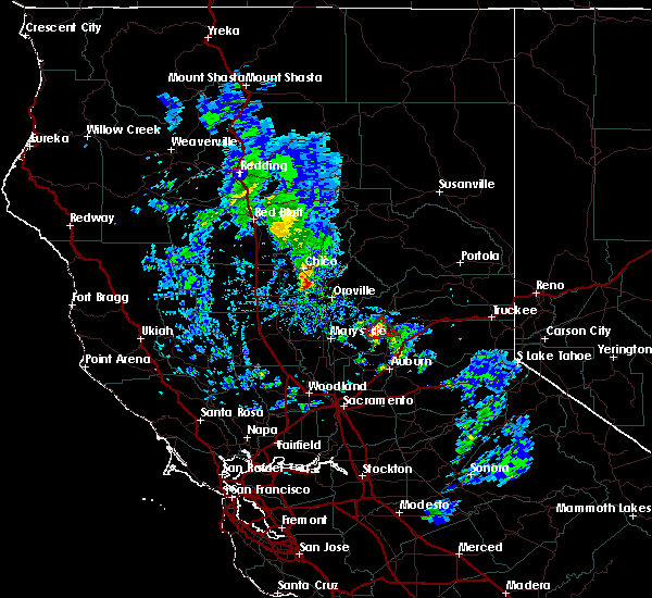 At 335 pm pdt, a severe thunderstorm capable of producing a tornado was located over lake wildwood, or 7 miles west of grass valley, moving northeast at 10 mph (radar indicated rotation). Hazards include tornado. Flying debris will be dangerous to those caught without shelter. mobile homes will be damaged or destroyed. damage to roofs, windows, and vehicles will occur. tree damage is likely. this dangerous storm will be near, rough and ready around 350 pm pdt. grass valley around 400 pm pdt. Other locations impacted by this tornadic thunderstorm include penn valley. At 335 pm pdt, a severe thunderstorm capable of producing a tornado was located over lake wildwood, or 7 miles west of grass valley, moving northeast at 10 mph (radar indicated rotation). Hazards include tornado. Flying debris will be dangerous to those caught without shelter. mobile homes will be damaged or destroyed. damage to roofs, windows, and vehicles will occur. tree damage is likely. this dangerous storm will be near, rough and ready around 350 pm pdt. grass valley around 400 pm pdt. Other locations impacted by this tornadic thunderstorm include penn valley.
|
| 4/13/2017 3:11 PM PDT |
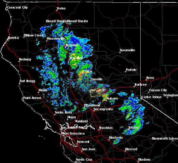 At 311 pm pdt, a severe thunderstorm capable of producing a tornado was located over smartville, or 12 miles west of grass valley, moving northeast at 25 mph (radar indicated rotation). Hazards include tornado. Flying debris will be dangerous to those caught without shelter. damage to roofs, windows, and vehicles will occur. tree damage is likely. this dangerous storm will be near, lake wildwood and rough and ready around 320 pm pdt. grass valley and cedar ridge around 325 pm pdt. Other locations impacted by this tornadic thunderstorm include penn valley. At 311 pm pdt, a severe thunderstorm capable of producing a tornado was located over smartville, or 12 miles west of grass valley, moving northeast at 25 mph (radar indicated rotation). Hazards include tornado. Flying debris will be dangerous to those caught without shelter. damage to roofs, windows, and vehicles will occur. tree damage is likely. this dangerous storm will be near, lake wildwood and rough and ready around 320 pm pdt. grass valley and cedar ridge around 325 pm pdt. Other locations impacted by this tornadic thunderstorm include penn valley.
|
| 4/13/2017 2:51 PM PDT |
 At 250 pm pdt, a severe thunderstorm was located over beale afb, or 10 miles east of marysville, moving east at 5 mph (radar indicated). Hazards include quarter size hail. At 250 pm pdt, a severe thunderstorm was located over beale afb, or 10 miles east of marysville, moving east at 5 mph (radar indicated). Hazards include quarter size hail.
|


Connect with Interactive Hail Maps