| 6/26/2017 9:46 PM MDT |
Several trees were reported down in the troy area. one was blocking kalispell stree in lincoln county MT, 0.2 miles NNW of Troy, MT
|
| 7/18/2016 4:46 PM MDT |
Quarter sized hail reported 0.2 miles NNW of Troy, MT, .
|
| 7/18/2016 4:46 PM MDT |
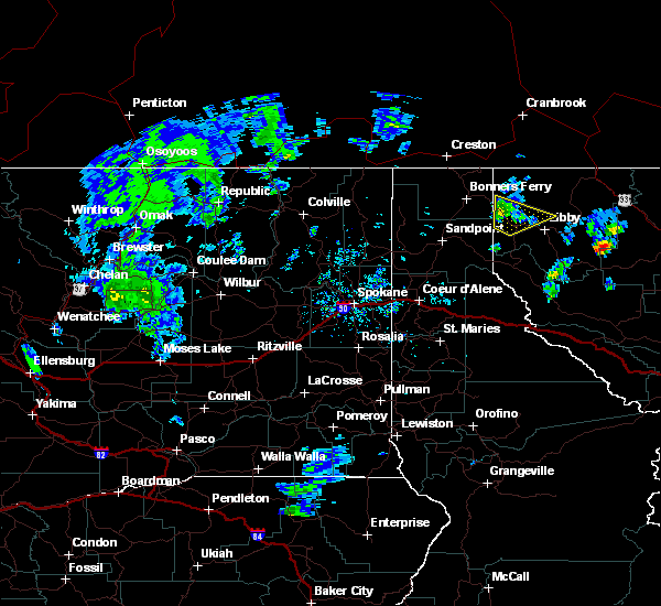
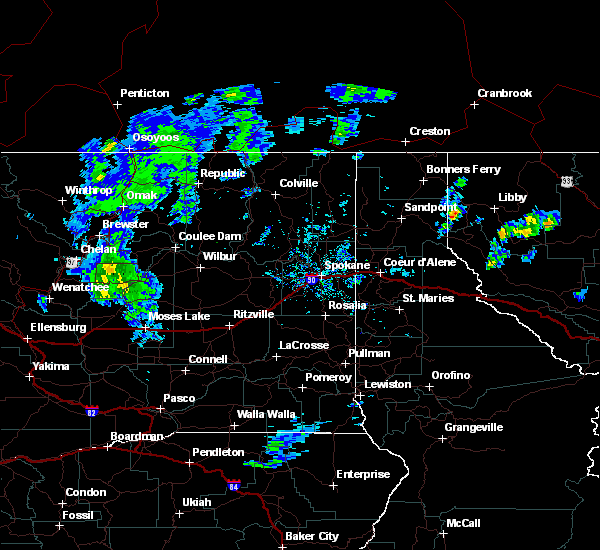
 At 445 pm mdt, a trained weather spotter in troy, montana reported a severe thunderstorm produced quarter size hail (one inch in diameter). this storm was located near troy, or 15 miles northwest of libby, moving northeast at 30 mph. locations impacted include, troy, kootenai falls and yakt. At 445 pm mdt, a trained weather spotter in troy, montana reported a severe thunderstorm produced quarter size hail (one inch in diameter). this storm was located near troy, or 15 miles northwest of libby, moving northeast at 30 mph. locations impacted include, troy, kootenai falls and yakt.
|
| 7/18/2016 4:25 PM MDT |
 At 425 pm mdt, doppler radar indicated a severe thunderstorm capable of producing quarter size hail and damaging winds in excess of 60 mph. this storm was located near troy, or 17 miles west of libby, and moving northeast at 30 mph. At 425 pm mdt, doppler radar indicated a severe thunderstorm capable of producing quarter size hail and damaging winds in excess of 60 mph. this storm was located near troy, or 17 miles west of libby, and moving northeast at 30 mph.
|
| 8/2/2014 9:45 PM MDT |
Report of a tree down blocking the south bound lanes of highway 56 between mile marker 23 and 2 in lincoln county MT, 12.1 miles NNW of Troy, MT
|
| 8/2/2014 9:20 PM MDT |
Numerous trees and power lines down in lincoln county MT, 0.2 miles NNW of Troy, MT
|
| 7/23/2014 6:40 PM MDT |
Powerlines down from thunderstorm outflow wind in lincoln county MT, 1 miles NNW of Troy, MT
|
| 7/14/2012 1:15 AM MDT |
Forest service reported 20 trees down blocking the service road to the dorr skeels campground at around 230 am. time of potential downburst could have been between 100 in lincoln county MT, 14.1 miles N of Troy, MT
|
 At 445 pm mdt, a trained weather spotter in troy, montana reported a severe thunderstorm produced quarter size hail (one inch in diameter). this storm was located near troy, or 15 miles northwest of libby, moving northeast at 30 mph. locations impacted include, troy, kootenai falls and yakt.
 At 425 pm mdt, doppler radar indicated a severe thunderstorm capable of producing quarter size hail and damaging winds in excess of 60 mph. this storm was located near troy, or 17 miles west of libby, and moving northeast at 30 mph.


Connect with Interactive Hail Maps