| 6/10/2023 2:35 PM PDT |
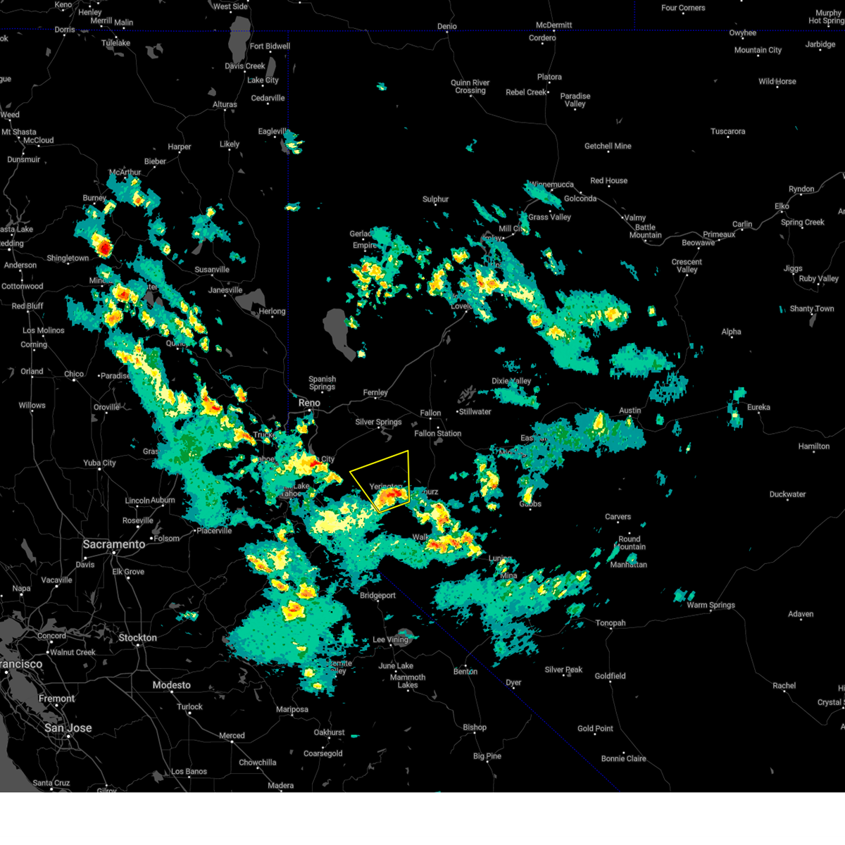 At 232 pm pdt, severe thunderstorms were located along a line extending from 7 miles east of yerington to mason, moving north at 25 mph (radar indicated). Hazards include 60 mph wind gusts and nickel size hail. expect damage to roofs, siding, fencing and trees At 232 pm pdt, severe thunderstorms were located along a line extending from 7 miles east of yerington to mason, moving north at 25 mph (radar indicated). Hazards include 60 mph wind gusts and nickel size hail. expect damage to roofs, siding, fencing and trees
|
| 7/31/2018 4:21 PM PDT |
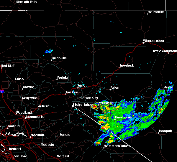 At 421 pm pdt, a severe thunderstorm was located near mason moving northeast at 10 mph (radar indicated). Hazards include 60 mph wind gusts and quarter size hail. Hail damage to vehicles is expected. Expect wind damage to roofs, siding, fencing and trees. At 421 pm pdt, a severe thunderstorm was located near mason moving northeast at 10 mph (radar indicated). Hazards include 60 mph wind gusts and quarter size hail. Hail damage to vehicles is expected. Expect wind damage to roofs, siding, fencing and trees.
|
| 5/16/2018 12:10 PM PDT |
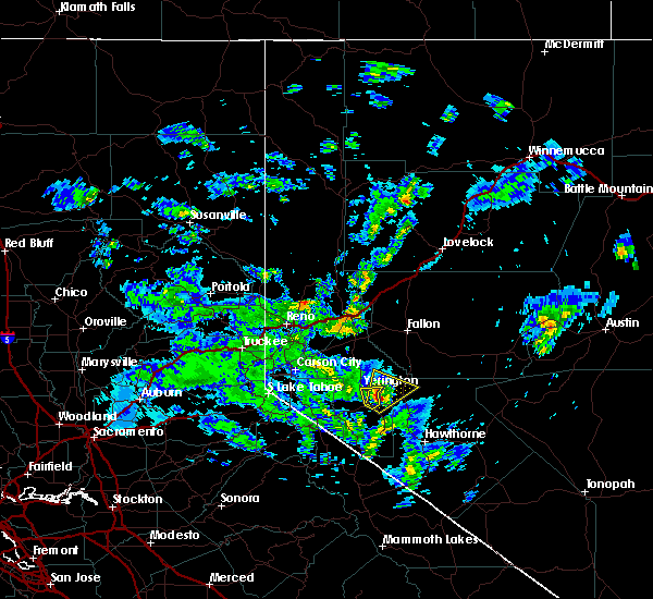 The severe thunderstorm warning for central lyon county will expire at 1215 pm pdt, the storm which prompted the warning is moving out of the area. therefore the warning will be allowed to expire. however small hail, gusty winds and heavy rain are still possible with this thunderstorm. to report severe weather, contact your nearest law enforcement agency. they will relay your report to the national weather service reno nevada. remember, a severe thunderstorm warning still remains in effect for extreme eastern lyon county east of mason. The severe thunderstorm warning for central lyon county will expire at 1215 pm pdt, the storm which prompted the warning is moving out of the area. therefore the warning will be allowed to expire. however small hail, gusty winds and heavy rain are still possible with this thunderstorm. to report severe weather, contact your nearest law enforcement agency. they will relay your report to the national weather service reno nevada. remember, a severe thunderstorm warning still remains in effect for extreme eastern lyon county east of mason.
|
| 5/16/2018 11:53 AM PDT |
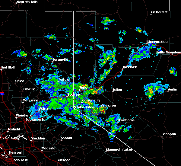 At 1153 am pdt, doppler radar indicated a severe thunderstorm capable of producing large hail up to ping pong ball size and damaging winds in excess of 60 mph. this storm was located near mason, or 27 miles northeast of topaz lake, moving north at 15 mph. locations impacted include, yerington. At 1153 am pdt, doppler radar indicated a severe thunderstorm capable of producing large hail up to ping pong ball size and damaging winds in excess of 60 mph. this storm was located near mason, or 27 miles northeast of topaz lake, moving north at 15 mph. locations impacted include, yerington.
|
| 5/16/2018 11:43 AM PDT |
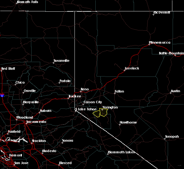 At 1142 am pdt, doppler radar indicated a severe thunderstorm capable of producing quarter size hail and damaging winds in excess of 60 mph. this storm was located 7 miles southeast of mason, or 25 miles northeast of topaz lake, moving north at 15 mph. locations impacted include, yerington, mason, weed heights, junction nv 339 and nv 208 and yerington municipal airport. At 1142 am pdt, doppler radar indicated a severe thunderstorm capable of producing quarter size hail and damaging winds in excess of 60 mph. this storm was located 7 miles southeast of mason, or 25 miles northeast of topaz lake, moving north at 15 mph. locations impacted include, yerington, mason, weed heights, junction nv 339 and nv 208 and yerington municipal airport.
|
| 5/16/2018 11:23 AM PDT |
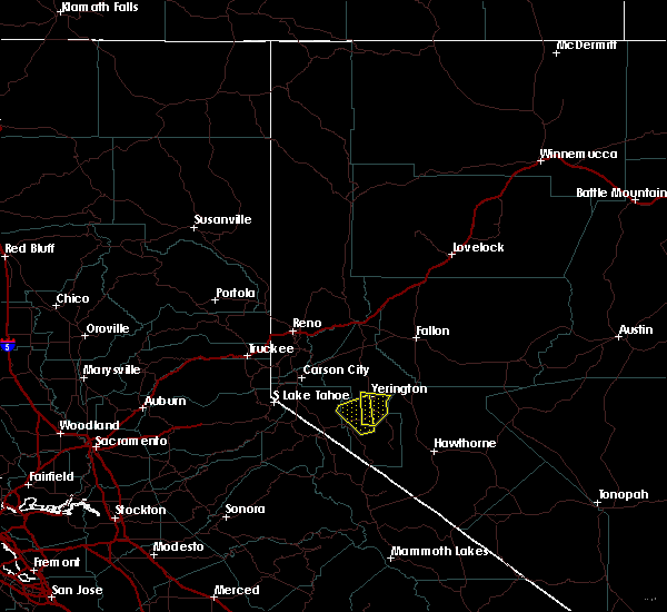 At 1123 am pdt, doppler radar indicated a severe thunderstorm capable of producing quarter size hail and damaging winds in excess of 60 mph. this storm was located 10 miles east of smith, or 23 miles east of topaz lake, and moving north at 10 mph. At 1123 am pdt, doppler radar indicated a severe thunderstorm capable of producing quarter size hail and damaging winds in excess of 60 mph. this storm was located 10 miles east of smith, or 23 miles east of topaz lake, and moving north at 10 mph.
|
| 5/16/2018 11:06 AM PDT |
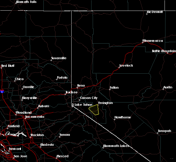 At 1106 am pdt, doppler radar indicated a severe thunderstorm capable of producing quarter size hail and damaging winds in excess of 60 mph. this storm was located 7 miles southeast of smith, or 18 miles east of topaz lake, and moving northwest at 10 mph. At 1106 am pdt, doppler radar indicated a severe thunderstorm capable of producing quarter size hail and damaging winds in excess of 60 mph. this storm was located 7 miles southeast of smith, or 18 miles east of topaz lake, and moving northwest at 10 mph.
|
| 7/25/2017 1:50 PM PDT |
Ping Pong Ball sized hail reported 1.3 miles SSW of Yerington, NV, ping pong ball size hail measured in northern yerington
|
| 7/25/2017 1:45 PM PDT |
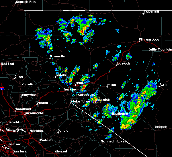 At 144 pm pdt, a severe thunderstorm was located over weed heights, or 28 miles northeast of topaz lake, moving east at 10 mph (radar indicated). Hazards include 60 mph wind gusts and quarter size hail. Hail damage to vehicles is expected. expect wind damage to roofs, siding, fencing, and trees. Dust storms resulting in serious accidents. At 144 pm pdt, a severe thunderstorm was located over weed heights, or 28 miles northeast of topaz lake, moving east at 10 mph (radar indicated). Hazards include 60 mph wind gusts and quarter size hail. Hail damage to vehicles is expected. expect wind damage to roofs, siding, fencing, and trees. Dust storms resulting in serious accidents.
|
| 7/24/2017 2:25 PM PDT |
 At 221 pm pdt, strong thunderstorms were located over wabuska and yerington moving north at 15 mph (weather spotter indicated 0.25 inch size hail and heavy rain with this storm at 2pm). Hazards include 60 mph wind gusts and penny size hail. Damage to fencing and trees possible. blowing dust may result in serious visibility restrictions. Locations impacted include, wabuska, fort churchill station and silver springs. At 221 pm pdt, strong thunderstorms were located over wabuska and yerington moving north at 15 mph (weather spotter indicated 0.25 inch size hail and heavy rain with this storm at 2pm). Hazards include 60 mph wind gusts and penny size hail. Damage to fencing and trees possible. blowing dust may result in serious visibility restrictions. Locations impacted include, wabuska, fort churchill station and silver springs.
|
| 7/24/2017 2:01 PM PDT |
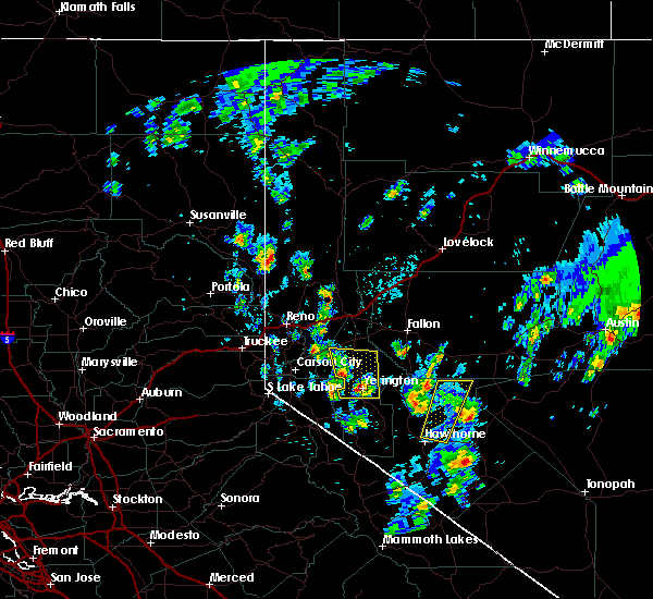 At 200 pm pdt, a severe thunderstorm was located over weed heights, or 29 miles northeast of topaz lake, moving north at 30 mph (radar indicated). Hazards include 60 mph wind gusts and penny size hail. Expect damage to roofs, siding, fencing, and trees. Dust storms resulting in serious accidents. At 200 pm pdt, a severe thunderstorm was located over weed heights, or 29 miles northeast of topaz lake, moving north at 30 mph (radar indicated). Hazards include 60 mph wind gusts and penny size hail. Expect damage to roofs, siding, fencing, and trees. Dust storms resulting in serious accidents.
|
| 7/5/2015 5:38 PM PDT |
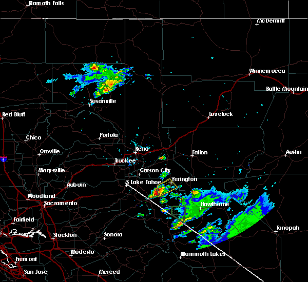 At 536 pm pdt, doppler radar indicated a severe thunderstorm capable of producing quarter size hail and damaging winds in excess of 60 mph. this storm was over artesia lake, moving northeast at 15 mph. heavy rain is also occurring with this storm. locations impacted include, yerington, smith, weed heights, mason, yerington municipal airport, smith valley and artesia lake. At 536 pm pdt, doppler radar indicated a severe thunderstorm capable of producing quarter size hail and damaging winds in excess of 60 mph. this storm was over artesia lake, moving northeast at 15 mph. heavy rain is also occurring with this storm. locations impacted include, yerington, smith, weed heights, mason, yerington municipal airport, smith valley and artesia lake.
|
| 7/5/2015 5:18 PM PDT |
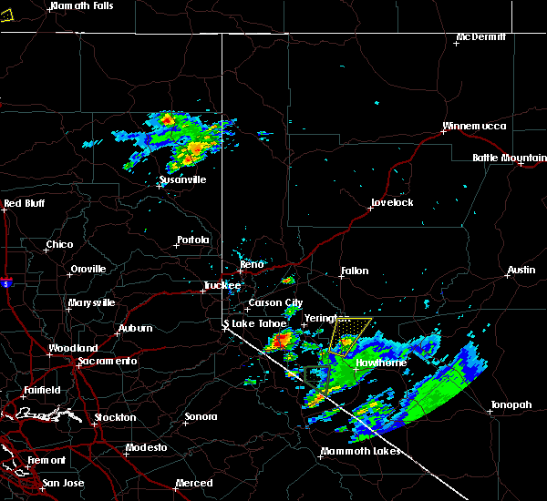 At 518 pm pdt, doppler radar indicated a severe thunderstorm capable of producing quarter size hail and damaging winds in excess of 60 mph. this storm was located near smith, or 17 miles northeast of topaz lake, and moving northeast at 15 mph. At 518 pm pdt, doppler radar indicated a severe thunderstorm capable of producing quarter size hail and damaging winds in excess of 60 mph. this storm was located near smith, or 17 miles northeast of topaz lake, and moving northeast at 15 mph.
|
| 5/25/2015 2:38 PM PDT |
The severe thunderstorm warning for central lyon and northeastern douglas counties will expire at 245 pm pdt, the storm which prompted the warning has weakened below severe limits, and no longer poses an immediate threat to life or property. therefore the warning will be allowed to expire. however gusty winds crosswinds are still possible with this thunderstorm, especially along highway 95a.
|
| 5/25/2015 2:03 PM PDT |
At 202 pm pdt, doppler radar indicated a severe thunderstorm capable of producing quarter size hail and damaging winds in excess of 60 mph. this storm was located 11 miles west of wabuska, or 18 miles northwest of yerington, and moving east southeast at 15 mph.
|
| 7/4/2013 5:24 PM PDT |
Quarter sized hail reported 6.2 miles SSE of Yerington, NV, 1 inch hail reported on the northern side of mason valley and relayed by law enforcement.
|
| 6/9/2013 5:10 PM PDT |
Cottonwood tree branches up to 1.5 inch diameter blown down around parts of yerington. estimated occurrence between 4 and 5 p in lyon county NV, 0.6 miles SW of Yerington, NV
|
 At 232 pm pdt, severe thunderstorms were located along a line extending from 7 miles east of yerington to mason, moving north at 25 mph (radar indicated). Hazards include 60 mph wind gusts and nickel size hail. expect damage to roofs, siding, fencing and trees
 At 421 pm pdt, a severe thunderstorm was located near mason moving northeast at 10 mph (radar indicated). Hazards include 60 mph wind gusts and quarter size hail. Hail damage to vehicles is expected. Expect wind damage to roofs, siding, fencing and trees.
 The severe thunderstorm warning for central lyon county will expire at 1215 pm pdt, the storm which prompted the warning is moving out of the area. therefore the warning will be allowed to expire. however small hail, gusty winds and heavy rain are still possible with this thunderstorm. to report severe weather, contact your nearest law enforcement agency. they will relay your report to the national weather service reno nevada. remember, a severe thunderstorm warning still remains in effect for extreme eastern lyon county east of mason.
 At 1153 am pdt, doppler radar indicated a severe thunderstorm capable of producing large hail up to ping pong ball size and damaging winds in excess of 60 mph. this storm was located near mason, or 27 miles northeast of topaz lake, moving north at 15 mph. locations impacted include, yerington.
 At 1142 am pdt, doppler radar indicated a severe thunderstorm capable of producing quarter size hail and damaging winds in excess of 60 mph. this storm was located 7 miles southeast of mason, or 25 miles northeast of topaz lake, moving north at 15 mph. locations impacted include, yerington, mason, weed heights, junction nv 339 and nv 208 and yerington municipal airport.
 At 1123 am pdt, doppler radar indicated a severe thunderstorm capable of producing quarter size hail and damaging winds in excess of 60 mph. this storm was located 10 miles east of smith, or 23 miles east of topaz lake, and moving north at 10 mph.
 At 1106 am pdt, doppler radar indicated a severe thunderstorm capable of producing quarter size hail and damaging winds in excess of 60 mph. this storm was located 7 miles southeast of smith, or 18 miles east of topaz lake, and moving northwest at 10 mph.
 At 144 pm pdt, a severe thunderstorm was located over weed heights, or 28 miles northeast of topaz lake, moving east at 10 mph (radar indicated). Hazards include 60 mph wind gusts and quarter size hail. Hail damage to vehicles is expected. expect wind damage to roofs, siding, fencing, and trees. Dust storms resulting in serious accidents.
 At 221 pm pdt, strong thunderstorms were located over wabuska and yerington moving north at 15 mph (weather spotter indicated 0.25 inch size hail and heavy rain with this storm at 2pm). Hazards include 60 mph wind gusts and penny size hail. Damage to fencing and trees possible. blowing dust may result in serious visibility restrictions. Locations impacted include, wabuska, fort churchill station and silver springs.
 At 200 pm pdt, a severe thunderstorm was located over weed heights, or 29 miles northeast of topaz lake, moving north at 30 mph (radar indicated). Hazards include 60 mph wind gusts and penny size hail. Expect damage to roofs, siding, fencing, and trees. Dust storms resulting in serious accidents.
 At 536 pm pdt, doppler radar indicated a severe thunderstorm capable of producing quarter size hail and damaging winds in excess of 60 mph. this storm was over artesia lake, moving northeast at 15 mph. heavy rain is also occurring with this storm. locations impacted include, yerington, smith, weed heights, mason, yerington municipal airport, smith valley and artesia lake.
 At 518 pm pdt, doppler radar indicated a severe thunderstorm capable of producing quarter size hail and damaging winds in excess of 60 mph. this storm was located near smith, or 17 miles northeast of topaz lake, and moving northeast at 15 mph.



Connect with Interactive Hail Maps