

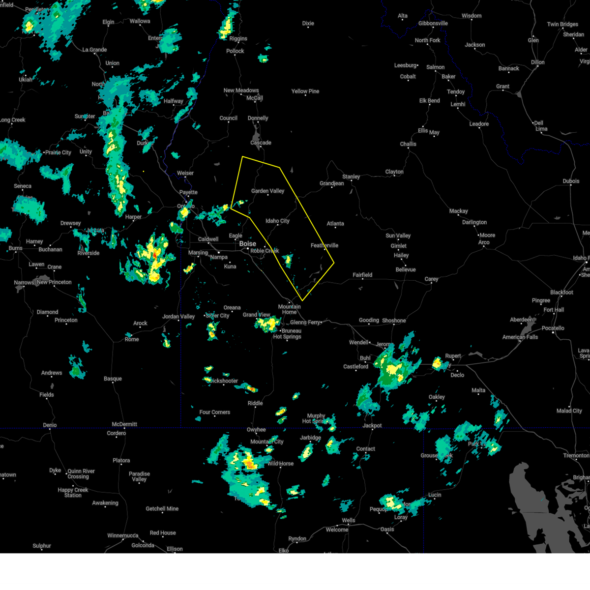
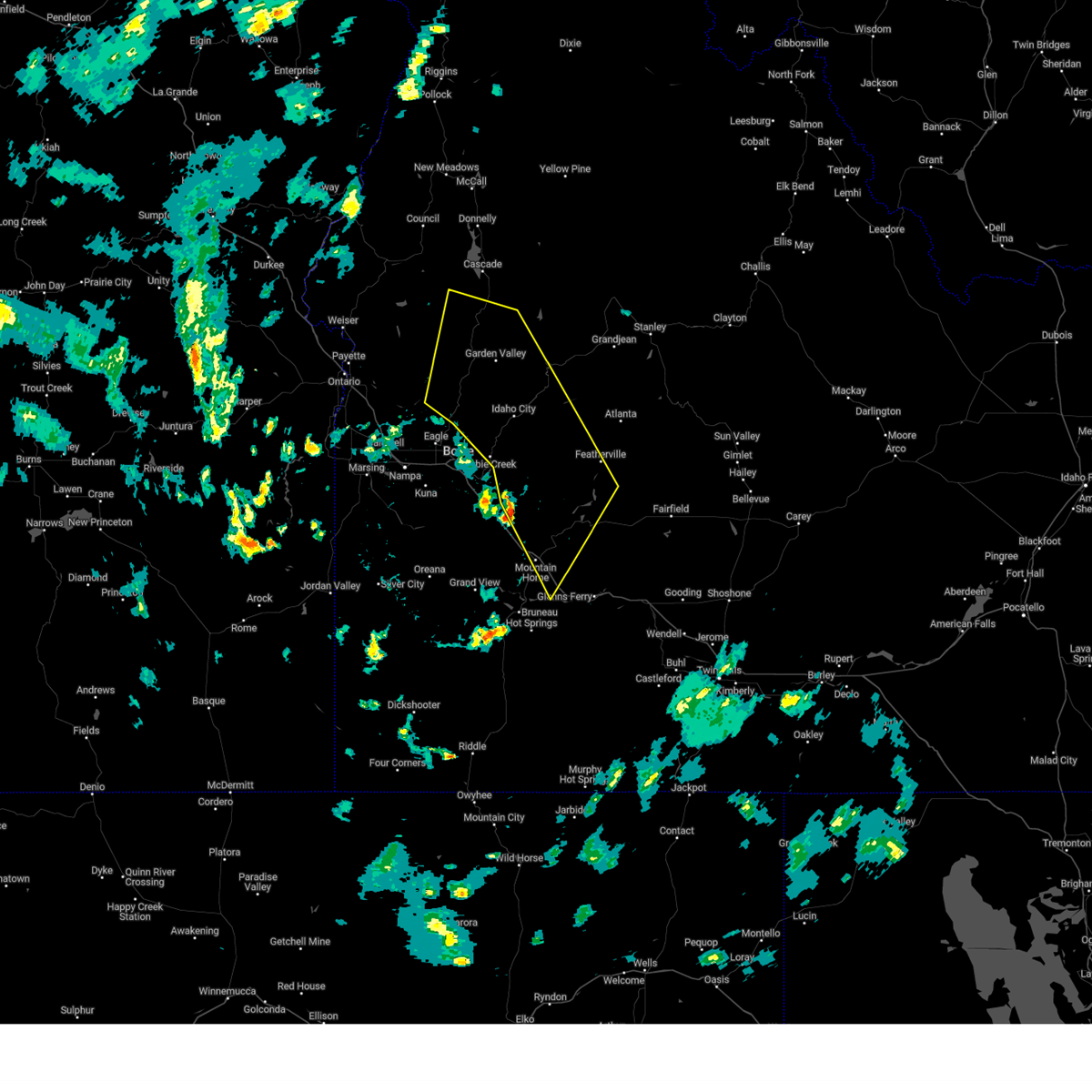
Hail Map for Garden Valley, ID
The Garden Valley, ID area has had 2 reports of on-the-ground hail by trained spotters, and has been under severe weather warnings 6 times during the past 12 months. Doppler radar has detected hail at or near Garden Valley, ID on 2 occasions, including 1 occasion during the past year.
| Name: | Garden Valley, ID |
| Where Located: | 34.8 miles NNE of Boise, ID |
| Map: | Google Map for Garden Valley, ID |
| Population: | 394 |
| Housing Units: | 246 |
| More Info: | Search Google for Garden Valley, ID |
0
The Top Recent Hail Date for Garden Valley, ID is Wednesday, June 26, 2024 (2nd out of 2)

Hail and Wind Damage Spotted near Garden Valley, ID
| Date / Time | Report Details |
|---|---|
| 9/2/2024 7:07 PM MDT |
 At 707 pm mdt, severe thunderstorms were located along a line extending from near ola to crouch to near little camas reservoir, moving northeast at 60 mph (radar indicated). Hazards include 60 mph wind gusts. Expect damage to roofs, siding, and trees. these severe storms will be near, ola, pine, pioneerville, and garden valley around 710 pm mdt. Lowman, trail creek summit, and featherville around 720 pm mdt. At 707 pm mdt, severe thunderstorms were located along a line extending from near ola to crouch to near little camas reservoir, moving northeast at 60 mph (radar indicated). Hazards include 60 mph wind gusts. Expect damage to roofs, siding, and trees. these severe storms will be near, ola, pine, pioneerville, and garden valley around 710 pm mdt. Lowman, trail creek summit, and featherville around 720 pm mdt.
|
| 9/2/2024 6:49 PM MDT |
 Svrboi the national weather service in boise has issued a * severe thunderstorm warning for, boise county in southwestern idaho, southwestern valley county in southwestern idaho, central elmore county in southwestern idaho, eastern gem county in southwestern idaho, * until 715 pm mdt.. * at 649 pm mdt, severe thunderstorms were located along a line extending from 7 miles southeast of french corner to near horseshoe bend to near hot springs creek reservoir, moving northeast at 60 mph (radar indicated). Hazards include 60 mph wind gusts. Expect damage to roofs, siding, and trees. severe thunderstorms will be near, idaho city, horseshoe bend, gardena, and sweet around 650 pm mdt. ola, centerville, pioneerville, and anderson dam around 700 pm mdt. Pine, smiths ferry, big eddy, and mores creek summit around 710 pm mdt. Svrboi the national weather service in boise has issued a * severe thunderstorm warning for, boise county in southwestern idaho, southwestern valley county in southwestern idaho, central elmore county in southwestern idaho, eastern gem county in southwestern idaho, * until 715 pm mdt.. * at 649 pm mdt, severe thunderstorms were located along a line extending from 7 miles southeast of french corner to near horseshoe bend to near hot springs creek reservoir, moving northeast at 60 mph (radar indicated). Hazards include 60 mph wind gusts. Expect damage to roofs, siding, and trees. severe thunderstorms will be near, idaho city, horseshoe bend, gardena, and sweet around 650 pm mdt. ola, centerville, pioneerville, and anderson dam around 700 pm mdt. Pine, smiths ferry, big eddy, and mores creek summit around 710 pm mdt.
|
| 6/26/2024 3:42 PM MDT |
 Svrboi the national weather service in boise has issued a * severe thunderstorm warning for, north central boise county in southwestern idaho, south central valley county in southwestern idaho, * until 430 pm mdt.. * at 341 pm mdt, a severe thunderstorm was located near garden valley, or 12 miles west of lowman, moving east at 35 mph (radar indicated). Hazards include golf ball size hail and 60 mph wind gusts. People and animals outdoors will be injured. expect hail damage to roofs, siding, windows, and vehicles. expect wind damage to roofs, siding, and trees. this severe thunderstorm will be near, scott mountain around 350 pm mdt. Clear creek summit around 410 pm mdt. Svrboi the national weather service in boise has issued a * severe thunderstorm warning for, north central boise county in southwestern idaho, south central valley county in southwestern idaho, * until 430 pm mdt.. * at 341 pm mdt, a severe thunderstorm was located near garden valley, or 12 miles west of lowman, moving east at 35 mph (radar indicated). Hazards include golf ball size hail and 60 mph wind gusts. People and animals outdoors will be injured. expect hail damage to roofs, siding, windows, and vehicles. expect wind damage to roofs, siding, and trees. this severe thunderstorm will be near, scott mountain around 350 pm mdt. Clear creek summit around 410 pm mdt.
|
| 6/26/2024 3:30 PM MDT | Half Dollar sized hail reported 1.3 miles S of Garden Valley, ID |
| 6/26/2024 3:30 PM MDT | Hen Egg sized hail reported 1.3 miles S of Garden Valley, ID, killed 2 ducklings. |
| 6/26/2024 3:28 PM MDT |
 At 328 pm mdt, a severe thunderstorm was located over crouch, or 20 miles west of lowman, moving east at 30 mph (radar indicated). Hazards include golf ball size hail and 60 mph wind gusts. People and animals outdoors will be injured. expect hail damage to roofs, siding, windows, and vehicles. expect wind damage to roofs, siding, and trees. This severe storm will be near, garden valley and crouch around 330 pm mdt. At 328 pm mdt, a severe thunderstorm was located over crouch, or 20 miles west of lowman, moving east at 30 mph (radar indicated). Hazards include golf ball size hail and 60 mph wind gusts. People and animals outdoors will be injured. expect hail damage to roofs, siding, windows, and vehicles. expect wind damage to roofs, siding, and trees. This severe storm will be near, garden valley and crouch around 330 pm mdt.
|
| 6/26/2024 3:28 PM MDT |
 the severe thunderstorm warning has been cancelled and is no longer in effect the severe thunderstorm warning has been cancelled and is no longer in effect
|
| 6/26/2024 3:03 PM MDT |
 Svrboi the national weather service in boise has issued a * severe thunderstorm warning for, northwestern boise county in southwestern idaho, southwestern valley county in southwestern idaho, southeastern gem county in southwestern idaho, * until 345 pm mdt.. * at 303 pm mdt, a severe thunderstorm was located near sweet, or 15 miles northeast of emmett, moving east at 30 mph (radar indicated). Hazards include golf ball size hail and 60 mph wind gusts. blowing dust significantly reducing visibilities. People and animals outdoors will be injured. expect hail damage to roofs, siding, windows, and vehicles. expect wind damage to roofs, siding, and trees. this severe thunderstorm will be near, banks around 310 pm mdt. Garden valley and crouch around 330 pm mdt. Svrboi the national weather service in boise has issued a * severe thunderstorm warning for, northwestern boise county in southwestern idaho, southwestern valley county in southwestern idaho, southeastern gem county in southwestern idaho, * until 345 pm mdt.. * at 303 pm mdt, a severe thunderstorm was located near sweet, or 15 miles northeast of emmett, moving east at 30 mph (radar indicated). Hazards include golf ball size hail and 60 mph wind gusts. blowing dust significantly reducing visibilities. People and animals outdoors will be injured. expect hail damage to roofs, siding, windows, and vehicles. expect wind damage to roofs, siding, and trees. this severe thunderstorm will be near, banks around 310 pm mdt. Garden valley and crouch around 330 pm mdt.
|
| 9/7/2022 6:41 PM MDT |
 At 640 pm mdt/540 pm pdt/, severe thunderstorms were located along a line extending from richland to near homedale, moving east-northeast at 55 mph (radar indicated). Hazards include 70 mph wind gusts. Expect considerable tree damage. damage is likely to mobile homes, roofs, and outbuildings. severe thunderstorms will be near, halfway, richland and carson around 550 pm pdt. cambridge around 650 pm mdt. oxbow dam and brownlee dam around 600 pm pdt. goodrich and brownlee reservoir around 700 pm mdt. emmett, eagle, council and bear around 710 pm mdt. sweet, horseshoe bend, montour and lost valley reservoir around 720 pm mdt. mccall, gardena, ola and new meadows around 730 pm mdt. thunderstorm damage threat, considerable hail threat, radar indicated max hail size, <. 75 in wind threat, radar indicated max wind gust, 70 mph. At 640 pm mdt/540 pm pdt/, severe thunderstorms were located along a line extending from richland to near homedale, moving east-northeast at 55 mph (radar indicated). Hazards include 70 mph wind gusts. Expect considerable tree damage. damage is likely to mobile homes, roofs, and outbuildings. severe thunderstorms will be near, halfway, richland and carson around 550 pm pdt. cambridge around 650 pm mdt. oxbow dam and brownlee dam around 600 pm pdt. goodrich and brownlee reservoir around 700 pm mdt. emmett, eagle, council and bear around 710 pm mdt. sweet, horseshoe bend, montour and lost valley reservoir around 720 pm mdt. mccall, gardena, ola and new meadows around 730 pm mdt. thunderstorm damage threat, considerable hail threat, radar indicated max hail size, <. 75 in wind threat, radar indicated max wind gust, 70 mph.
|
| 6/22/2021 8:49 PM MDT | A trained spotter reported multiple trees and powerlines down associated with a strong gust front - gusting to around 60 mp in boise county ID, 1.3 miles S of Garden Valley, ID |
| 6/4/2017 6:43 PM MDT |
 The national weather service in boise has issued a * severe thunderstorm warning for. west central boise county in southwestern idaho. southwestern valley county in southwestern idaho. southeastern gem county in southwestern idaho. Southeastern washington county in southwestern idaho. The national weather service in boise has issued a * severe thunderstorm warning for. west central boise county in southwestern idaho. southwestern valley county in southwestern idaho. southeastern gem county in southwestern idaho. Southeastern washington county in southwestern idaho.
|
| 10/16/2012 10:05 AM MDT | Boise county dispatch reported trees down near holly mountain and power outages in idaho city...placerville and centervill in boise county ID, 4.8 miles NNE of Garden Valley, ID |
Hail Maps for Garden Valley, ID


Connect with Interactive Hail Maps