| 8/29/2023 4:55 PM PDT |
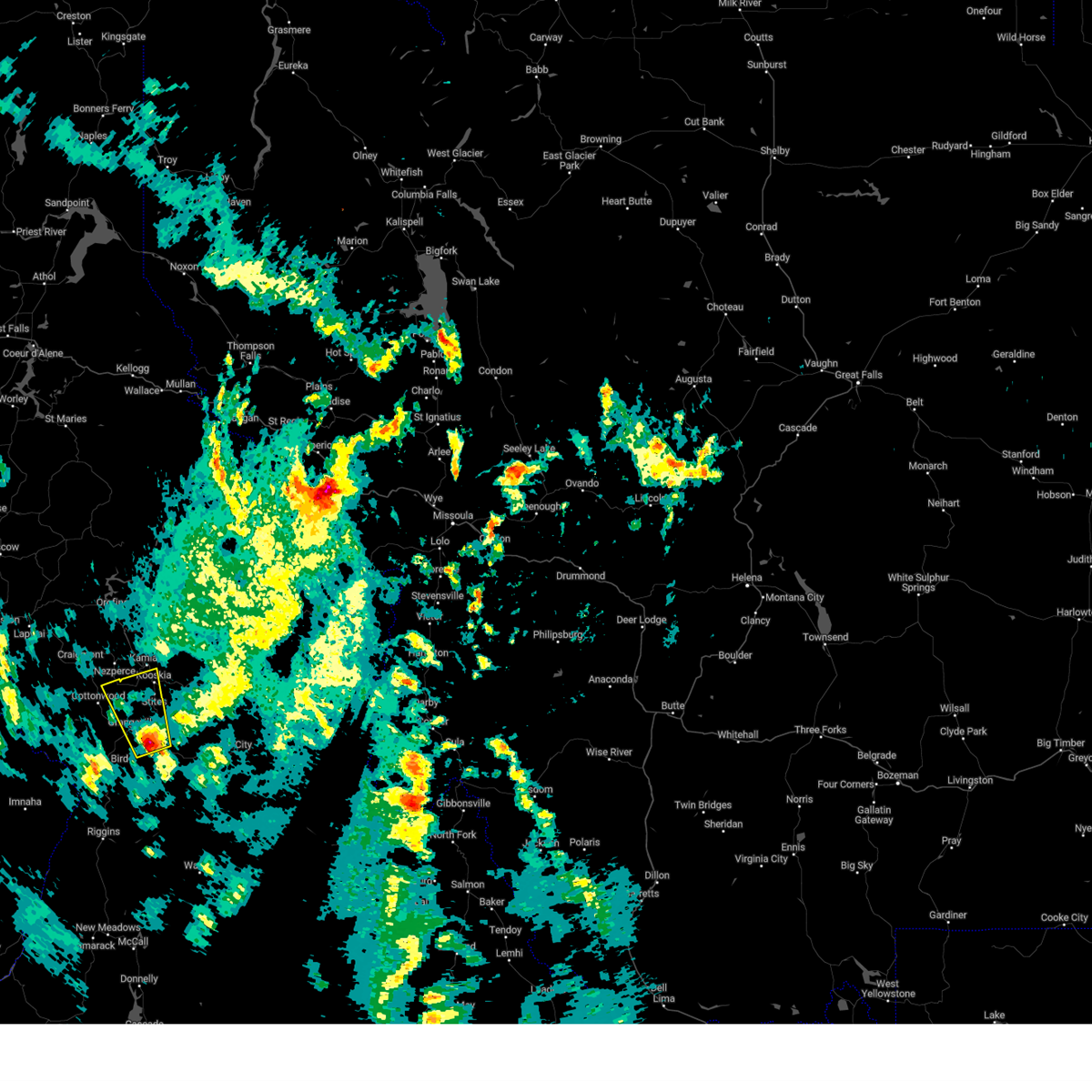 At 454 pm pdt, a severe thunderstorm was located near grangeville, moving north at 25 mph (radar indicated). Hazards include 60 mph wind gusts and quarter size hail. Hail damage to vehicles is expected. Expect wind damage to roofs, siding, and trees. At 454 pm pdt, a severe thunderstorm was located near grangeville, moving north at 25 mph (radar indicated). Hazards include 60 mph wind gusts and quarter size hail. Hail damage to vehicles is expected. Expect wind damage to roofs, siding, and trees.
|
| 5/21/2023 7:56 PM PDT |
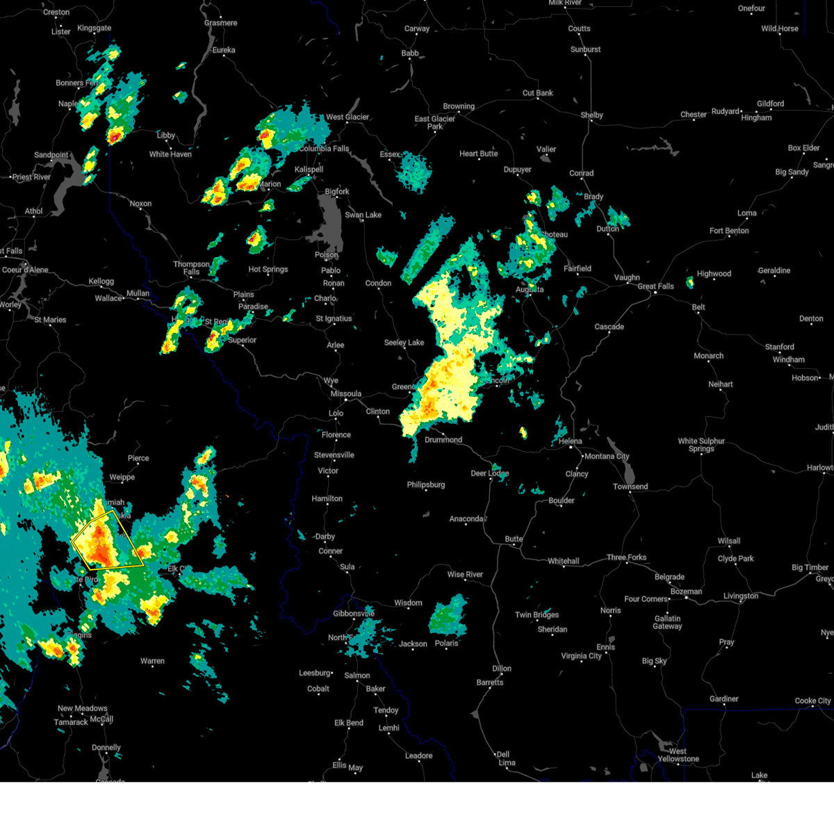 The severe thunderstorm warning for west central idaho county will expire at 800 pm pdt, the storm which prompted the warning has weakened below severe limits, and no longer poses an immediate threat to life or property. therefore, the warning will be allowed to expire. however gusty winds and heavy rain are still possible with this thunderstorm. a severe thunderstorm watch remains in effect until 900 pm pdt for central idaho. The severe thunderstorm warning for west central idaho county will expire at 800 pm pdt, the storm which prompted the warning has weakened below severe limits, and no longer poses an immediate threat to life or property. therefore, the warning will be allowed to expire. however gusty winds and heavy rain are still possible with this thunderstorm. a severe thunderstorm watch remains in effect until 900 pm pdt for central idaho.
|
| 5/21/2023 7:47 PM PDT |
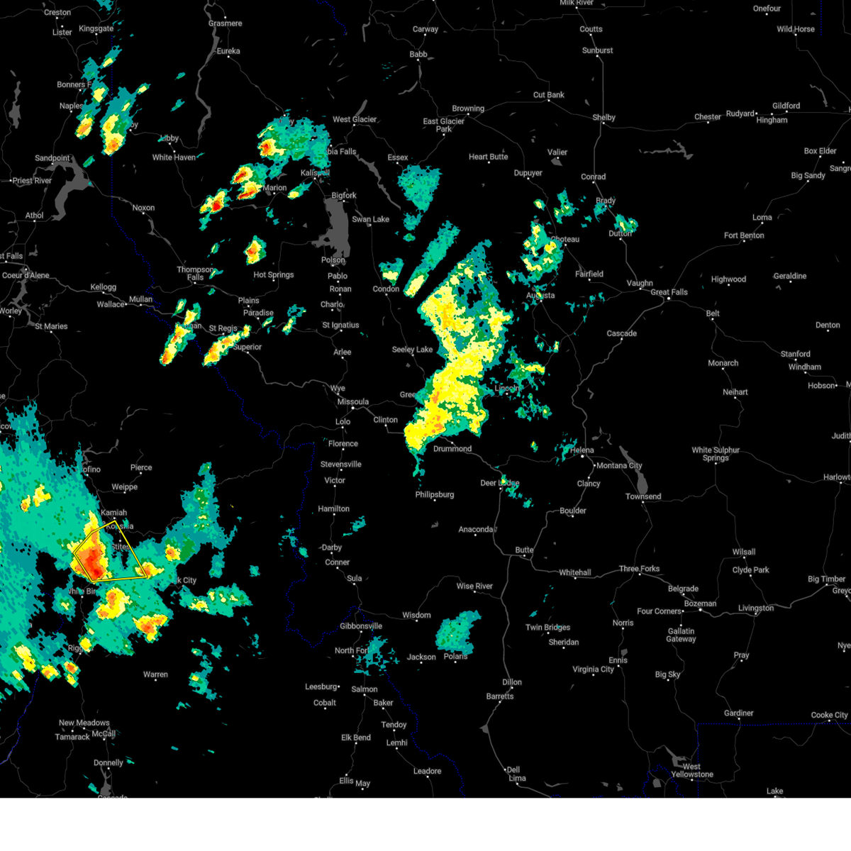 At 746 pm pdt, a severe thunderstorm was located near grangeville, moving northeast at 35 mph (radar indicated). Hazards include 60 mph wind gusts and quarter size hail. Hail damage to vehicles is expected. expect wind damage to roofs, siding, and trees. locations impacted include, grangeville, kooskia, clearwater, cottonwood, stites, winona, harpster and fenn. hail threat, radar indicated max hail size, 1. 00 in wind threat, radar indicated max wind gust, 60 mph. At 746 pm pdt, a severe thunderstorm was located near grangeville, moving northeast at 35 mph (radar indicated). Hazards include 60 mph wind gusts and quarter size hail. Hail damage to vehicles is expected. expect wind damage to roofs, siding, and trees. locations impacted include, grangeville, kooskia, clearwater, cottonwood, stites, winona, harpster and fenn. hail threat, radar indicated max hail size, 1. 00 in wind threat, radar indicated max wind gust, 60 mph.
|
| 5/21/2023 7:29 PM PDT |
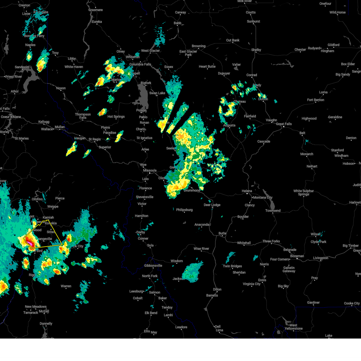 At 728 pm pdt, a severe thunderstorm was located near grangeville, moving northeast at 45 mph (radar indicated). Hazards include 60 mph wind gusts and quarter size hail. Hail damage to vehicles is expected. Expect wind damage to roofs, siding, and trees. At 728 pm pdt, a severe thunderstorm was located near grangeville, moving northeast at 45 mph (radar indicated). Hazards include 60 mph wind gusts and quarter size hail. Hail damage to vehicles is expected. Expect wind damage to roofs, siding, and trees.
|
| 8/12/2022 2:24 PM PDT |
Tree was reportedly down near mile markers 143 and 144 on us-1 in idaho county ID, 51.2 miles WSW of Kooskia, ID
|
| 7/8/2022 6:04 PM PDT |
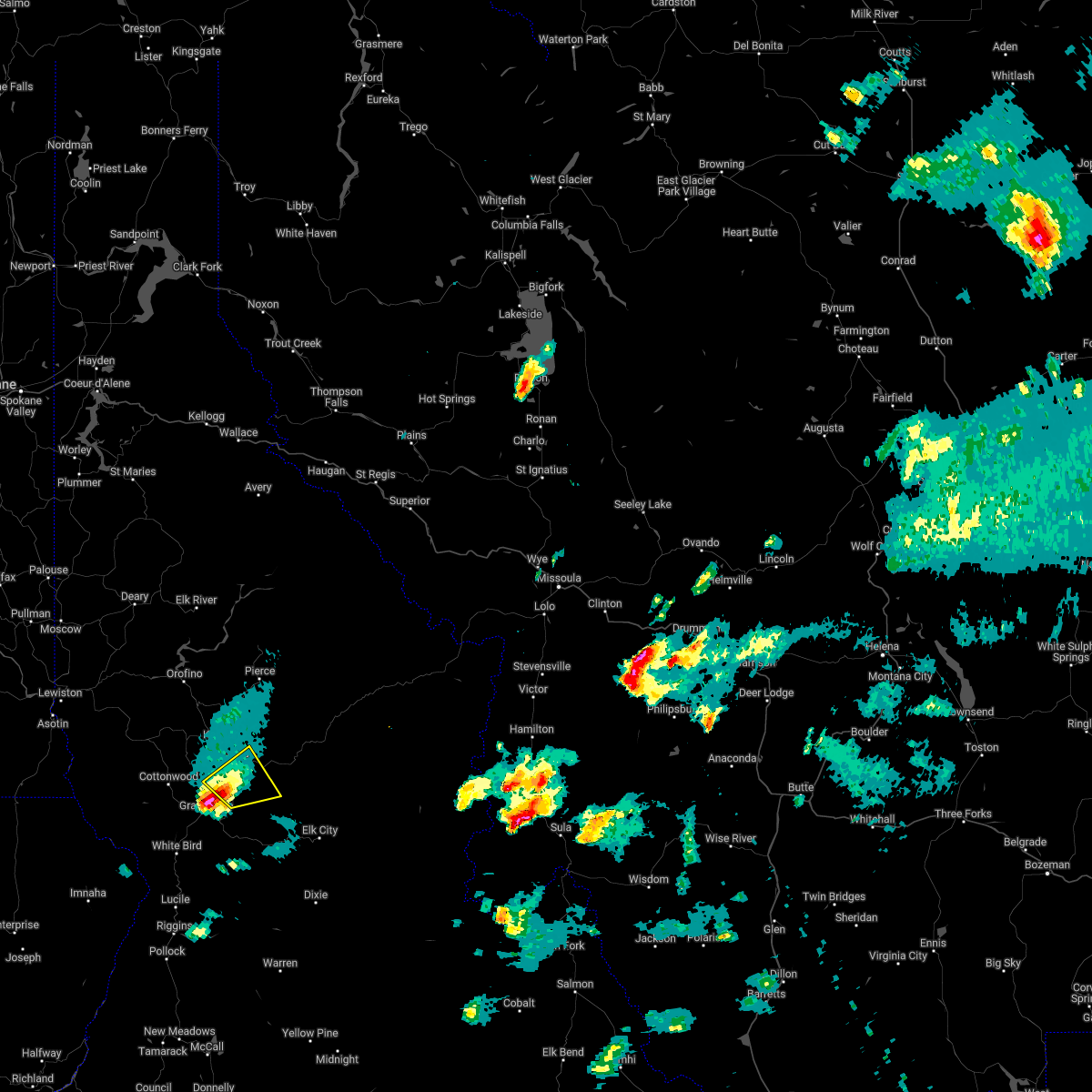 At 604 pm pdt, a severe thunderstorm was located 9 miles south of kooskia, or 9 miles northeast of grangeville, moving east at 30 mph (radar indicated). Hazards include 60 mph wind gusts and quarter size hail. Hail damage to vehicles is expected. expect wind damage to roofs, siding, and trees. locations impacted include, kooskia, clearwater, stites and harpster. hail threat, radar indicated max hail size, 1. 00 in wind threat, radar indicated max wind gust, 60 mph. At 604 pm pdt, a severe thunderstorm was located 9 miles south of kooskia, or 9 miles northeast of grangeville, moving east at 30 mph (radar indicated). Hazards include 60 mph wind gusts and quarter size hail. Hail damage to vehicles is expected. expect wind damage to roofs, siding, and trees. locations impacted include, kooskia, clearwater, stites and harpster. hail threat, radar indicated max hail size, 1. 00 in wind threat, radar indicated max wind gust, 60 mph.
|
| 7/8/2022 5:55 PM PDT |
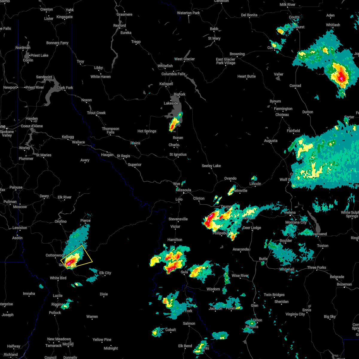 At 555 pm pdt, a severe thunderstorm was located near grangeville, moving east at 30 mph (radar indicated). Hazards include ping pong ball size hail and 60 mph wind gusts. People and animals outdoors will be injured. expect hail damage to roofs, siding, windows, and vehicles. Expect wind damage to roofs, siding, and trees. At 555 pm pdt, a severe thunderstorm was located near grangeville, moving east at 30 mph (radar indicated). Hazards include ping pong ball size hail and 60 mph wind gusts. People and animals outdoors will be injured. expect hail damage to roofs, siding, windows, and vehicles. Expect wind damage to roofs, siding, and trees.
|
| 6/26/2017 6:25 PM PDT |
*** 1 inj *** 29 year old female was injured when a tree fell on her car near lochsa lodg in idaho county ID, 65.3 miles WSW of Kooskia, ID
|
| 7/19/2016 8:09 PM PDT |
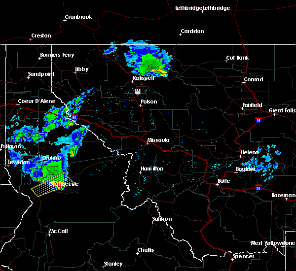 The severe thunderstorm warning for west central idaho county will expire at 815 pm pdt, the storm which prompted the warning has weakened below severe limits, and no longer poses an immediate threat to life or property. therefore the warning will be allowed to expire. The severe thunderstorm warning for west central idaho county will expire at 815 pm pdt, the storm which prompted the warning has weakened below severe limits, and no longer poses an immediate threat to life or property. therefore the warning will be allowed to expire.
|
| 7/19/2016 7:43 PM PDT |
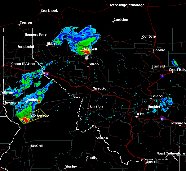 At 741 pm pdt, doppler radar indicated a severe thunderstorm capable of producing quarter size hail. this storm was located 7 miles north of white bird, or 10 miles west of grangeville, and moving northeast at 45 mph. At 741 pm pdt, doppler radar indicated a severe thunderstorm capable of producing quarter size hail. this storm was located 7 miles north of white bird, or 10 miles west of grangeville, and moving northeast at 45 mph.
|
| 7/20/2012 3:00 PM PDT |
Tree branches down and loss of power in tow in idaho county ID, 0.6 miles SSE of Kooskia, ID
|
| 6/4/2012 8:55 PM PDT |
Three rivers resort. high winds with multiple trees down. lost interne in idaho county ID, 18.1 miles W of Kooskia, ID
|
| 1/1/0001 12:00 AM |
Quarter sized hail reported 0.2 miles ENE of Kooskia, ID
|
 At 454 pm pdt, a severe thunderstorm was located near grangeville, moving north at 25 mph (radar indicated). Hazards include 60 mph wind gusts and quarter size hail. Hail damage to vehicles is expected. Expect wind damage to roofs, siding, and trees.
 The severe thunderstorm warning for west central idaho county will expire at 800 pm pdt, the storm which prompted the warning has weakened below severe limits, and no longer poses an immediate threat to life or property. therefore, the warning will be allowed to expire. however gusty winds and heavy rain are still possible with this thunderstorm. a severe thunderstorm watch remains in effect until 900 pm pdt for central idaho.
 At 746 pm pdt, a severe thunderstorm was located near grangeville, moving northeast at 35 mph (radar indicated). Hazards include 60 mph wind gusts and quarter size hail. Hail damage to vehicles is expected. expect wind damage to roofs, siding, and trees. locations impacted include, grangeville, kooskia, clearwater, cottonwood, stites, winona, harpster and fenn. hail threat, radar indicated max hail size, 1. 00 in wind threat, radar indicated max wind gust, 60 mph.
 At 728 pm pdt, a severe thunderstorm was located near grangeville, moving northeast at 45 mph (radar indicated). Hazards include 60 mph wind gusts and quarter size hail. Hail damage to vehicles is expected. Expect wind damage to roofs, siding, and trees.
 At 604 pm pdt, a severe thunderstorm was located 9 miles south of kooskia, or 9 miles northeast of grangeville, moving east at 30 mph (radar indicated). Hazards include 60 mph wind gusts and quarter size hail. Hail damage to vehicles is expected. expect wind damage to roofs, siding, and trees. locations impacted include, kooskia, clearwater, stites and harpster. hail threat, radar indicated max hail size, 1. 00 in wind threat, radar indicated max wind gust, 60 mph.
 At 555 pm pdt, a severe thunderstorm was located near grangeville, moving east at 30 mph (radar indicated). Hazards include ping pong ball size hail and 60 mph wind gusts. People and animals outdoors will be injured. expect hail damage to roofs, siding, windows, and vehicles. Expect wind damage to roofs, siding, and trees.
 The severe thunderstorm warning for west central idaho county will expire at 815 pm pdt, the storm which prompted the warning has weakened below severe limits, and no longer poses an immediate threat to life or property. therefore the warning will be allowed to expire.
 At 741 pm pdt, doppler radar indicated a severe thunderstorm capable of producing quarter size hail. this storm was located 7 miles north of white bird, or 10 miles west of grangeville, and moving northeast at 45 mph.


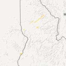
Connect with Interactive Hail Maps