

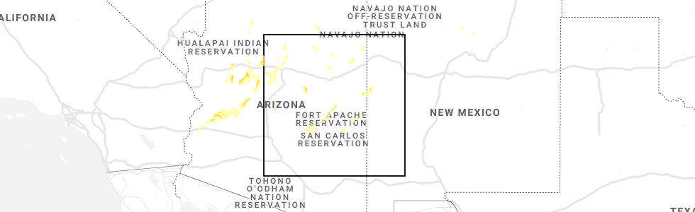
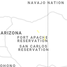
Hail Map for Nutrioso, AZ
The Nutrioso, AZ area has had 1 report of on-the-ground hail by trained spotters, and has been under severe weather warnings 0 times during the past 12 months. Doppler radar has detected hail at or near Nutrioso, AZ on 3 occasions.
| Name: | Nutrioso, AZ |
| Where Located: | 52.2 miles ESE of Show Low, AZ |
| Map: | Google Map for Nutrioso, AZ |
| Population: | 26 |
| Housing Units: | 30 |
| More Info: | Search Google for Nutrioso, AZ |
5
The Top Recent Hail Date for Nutrioso, AZ is Sunday, August 15, 2021 (1st out of 3)
Hail and Wind Damage Spotted near Nutrioso, AZ
| Date / Time | Report Details |
|---|---|
| 8/15/2021 5:47 PM MST |
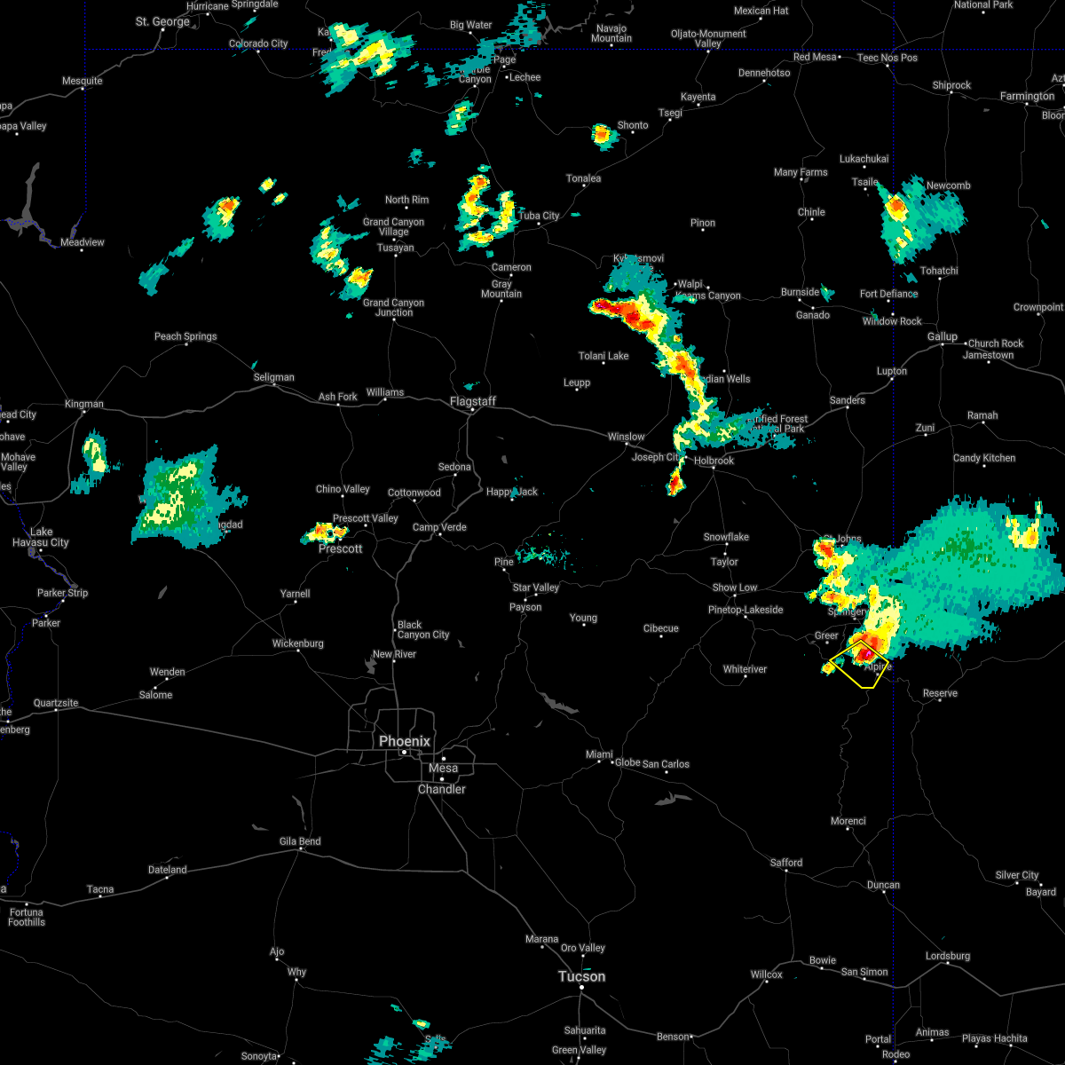 At 546 pm mst, a severe thunderstorm was located over nutrioso, moving southwest at 20 mph (radar indicated). Hazards include quarter size hail. damage to vehicles is expected At 546 pm mst, a severe thunderstorm was located over nutrioso, moving southwest at 20 mph (radar indicated). Hazards include quarter size hail. damage to vehicles is expected
|
| 6/10/2019 4:18 PM MST |
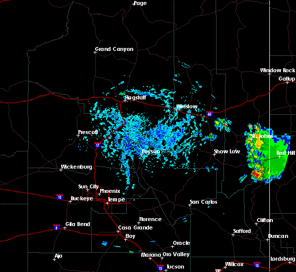 At 418 pm mst, a severe thunderstorm was located near nutrioso, or 16 miles south of springerville, moving southeast at 10 mph (radar indicated). Hazards include quarter size hail. Damage to vehicles is expected. this severe thunderstorm will remain over mainly rural areas of apache county. This includes highway 180 191 between mile markers 418 and 421. At 418 pm mst, a severe thunderstorm was located near nutrioso, or 16 miles south of springerville, moving southeast at 10 mph (radar indicated). Hazards include quarter size hail. Damage to vehicles is expected. this severe thunderstorm will remain over mainly rural areas of apache county. This includes highway 180 191 between mile markers 418 and 421.
|
| 6/10/2019 4:05 PM MST | Quarter sized hail reported 2.1 miles ENE of Nutrioso, AZ, trained spotter reported hail falling that was the size of a quarter with larger hail stones intermixed. |
| 6/10/2019 4:01 PM MST |
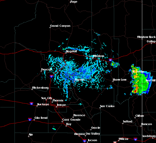 At 401 pm mst, a severe thunderstorm was located near nutrioso, or 14 miles south of springerville, moving southeast at 10 mph (radar indicated). Hazards include quarter size hail. damage to vehicles is expected At 401 pm mst, a severe thunderstorm was located near nutrioso, or 14 miles south of springerville, moving southeast at 10 mph (radar indicated). Hazards include quarter size hail. damage to vehicles is expected
|
Hail Maps for Nutrioso, AZ


Connect with Interactive Hail Maps