| 3/15/2025 3:08 PM CDT |
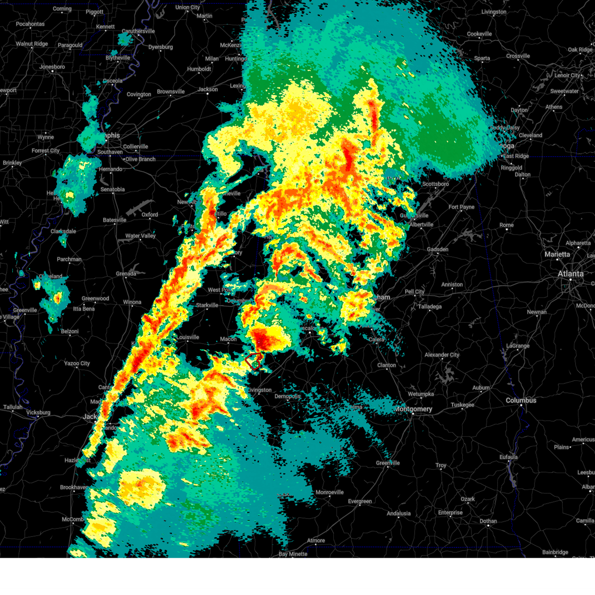 The storm which prompted the warning has moved out of the area. therefore, the warning will be allowed to expire. a tornado watch remains in effect until 800 pm cdt for west central alabama. The storm which prompted the warning has moved out of the area. therefore, the warning will be allowed to expire. a tornado watch remains in effect until 800 pm cdt for west central alabama.
|
| 3/15/2025 2:57 PM CDT |
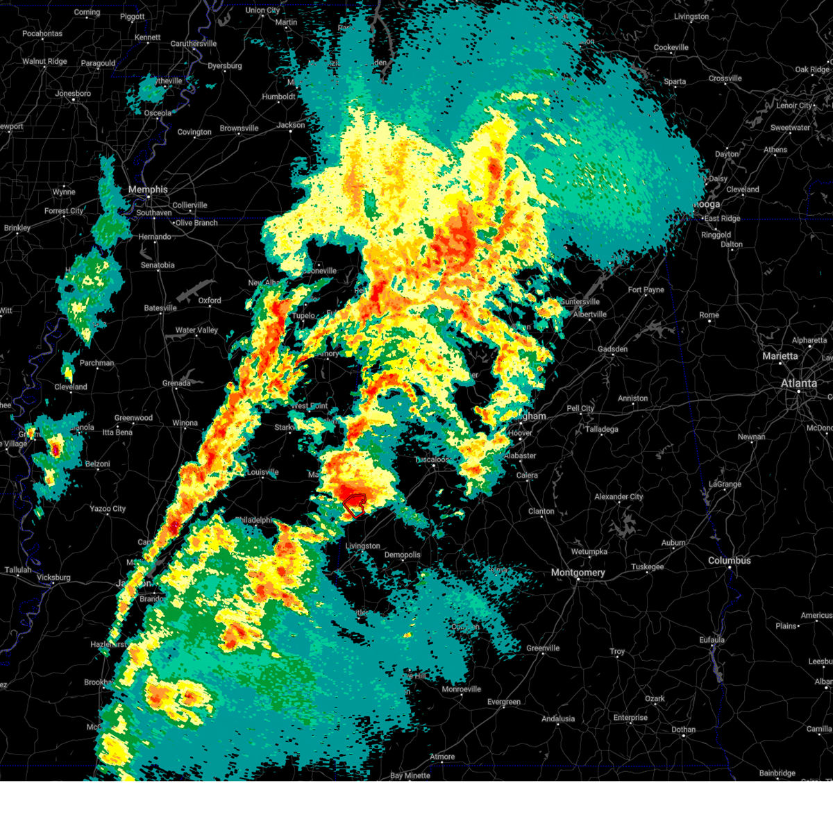 At 257 pm cdt, a severe thunderstorm capable of producing a tornado was located over panola, or 13 miles south of aliceville, moving northeast at 50 mph (radar indicated rotation). Hazards include tornado. Flying debris will be dangerous to those caught without shelter. mobile homes will be damaged or destroyed. damage to roofs, windows, and vehicles will occur. tree damage is likely. Locations impacted include, panola and warsaw. At 257 pm cdt, a severe thunderstorm capable of producing a tornado was located over panola, or 13 miles south of aliceville, moving northeast at 50 mph (radar indicated rotation). Hazards include tornado. Flying debris will be dangerous to those caught without shelter. mobile homes will be damaged or destroyed. damage to roofs, windows, and vehicles will occur. tree damage is likely. Locations impacted include, panola and warsaw.
|
| 3/15/2025 2:45 PM CDT |
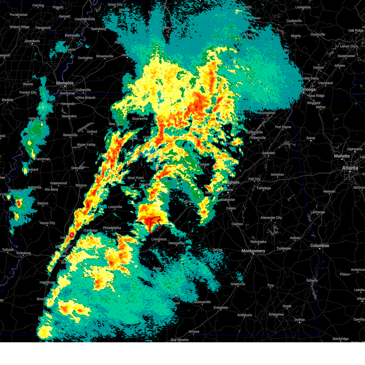 At 245 pm cdt, a severe thunderstorm capable of producing a tornado was located near emelle, or 15 miles northwest of livingston, moving northeast at 50 mph (radar indicated rotation). Hazards include tornado. Flying debris will be dangerous to those caught without shelter. mobile homes will be damaged or destroyed. damage to roofs, windows, and vehicles will occur. tree damage is likely. Locations impacted include, geiger, panola, gainesville, and warsaw. At 245 pm cdt, a severe thunderstorm capable of producing a tornado was located near emelle, or 15 miles northwest of livingston, moving northeast at 50 mph (radar indicated rotation). Hazards include tornado. Flying debris will be dangerous to those caught without shelter. mobile homes will be damaged or destroyed. damage to roofs, windows, and vehicles will occur. tree damage is likely. Locations impacted include, geiger, panola, gainesville, and warsaw.
|
| 3/15/2025 2:31 PM CDT |
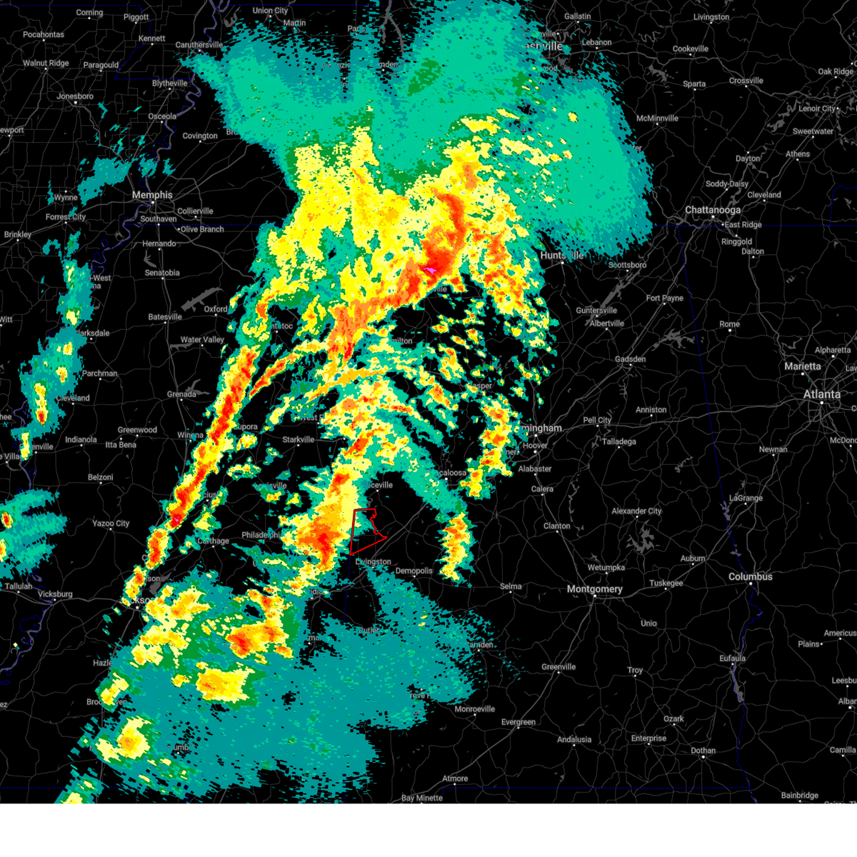 Torbmx the national weather service in birmingham has issued a * tornado warning for, northwestern sumter county in west central alabama, * until 315 pm cdt. * at 231 pm cdt, a severe thunderstorm capable of producing a tornado was located over porterville, or 11 miles southeast of de kalb, moving northeast at 50 mph (radar indicated rotation). Hazards include tornado. Flying debris will be dangerous to those caught without shelter. mobile homes will be damaged or destroyed. damage to roofs, windows, and vehicles will occur. Tree damage is likely. Torbmx the national weather service in birmingham has issued a * tornado warning for, northwestern sumter county in west central alabama, * until 315 pm cdt. * at 231 pm cdt, a severe thunderstorm capable of producing a tornado was located over porterville, or 11 miles southeast of de kalb, moving northeast at 50 mph (radar indicated rotation). Hazards include tornado. Flying debris will be dangerous to those caught without shelter. mobile homes will be damaged or destroyed. damage to roofs, windows, and vehicles will occur. Tree damage is likely.
|
| 3/4/2025 7:18 PM CST |
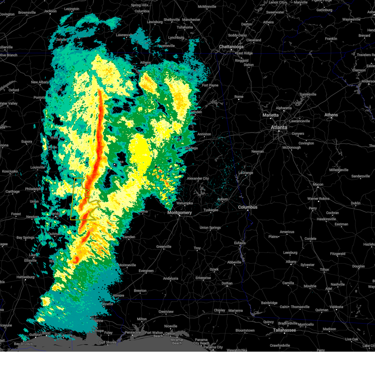 the severe thunderstorm warning has been cancelled and is no longer in effect the severe thunderstorm warning has been cancelled and is no longer in effect
|
| 3/4/2025 6:55 PM CST |
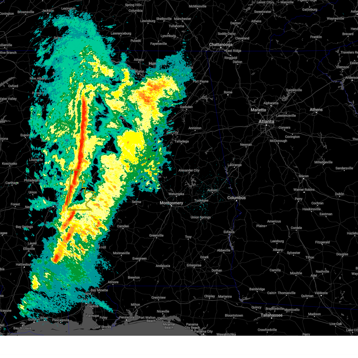 At 655 pm cst, severe thunderstorms were located along a line extending from near new west greene to near kinterbish, moving east at 40 mph (radar indicated). Hazards include 60 mph wind gusts. Expect damage to roofs, siding, and trees. Locations impacted include, old mallard airport, emelle, york, belmont, panola, demopolis lock and dam, sumterville, the university of west alabama, mcdowell, bellamy, epes, dug hill, geiger, warsaw, boyd, livingston, lilita, bluffport, cuba, and gainesville. At 655 pm cst, severe thunderstorms were located along a line extending from near new west greene to near kinterbish, moving east at 40 mph (radar indicated). Hazards include 60 mph wind gusts. Expect damage to roofs, siding, and trees. Locations impacted include, old mallard airport, emelle, york, belmont, panola, demopolis lock and dam, sumterville, the university of west alabama, mcdowell, bellamy, epes, dug hill, geiger, warsaw, boyd, livingston, lilita, bluffport, cuba, and gainesville.
|
| 3/4/2025 6:35 PM CST |
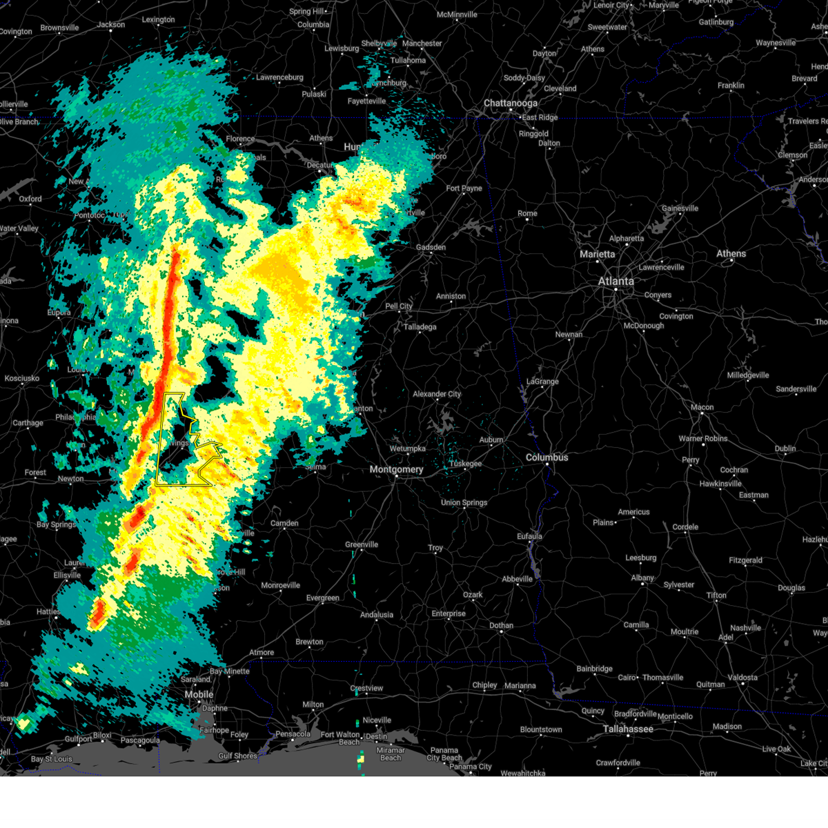 At 635 pm cst, severe thunderstorms were located along a line extending from near cooksville to causeyville, moving east at 40 mph (radar indicated). Hazards include 60 mph wind gusts. Expect damage to roofs, siding, and trees. Locations impacted include, old mallard airport, emelle, york, belmont, panola, demopolis lock and dam, sumterville, the university of west alabama, mcdowell, bellamy, epes, dug hill, geiger, warsaw, boyd, livingston, lilita, bluffport, cuba, and gainesville. At 635 pm cst, severe thunderstorms were located along a line extending from near cooksville to causeyville, moving east at 40 mph (radar indicated). Hazards include 60 mph wind gusts. Expect damage to roofs, siding, and trees. Locations impacted include, old mallard airport, emelle, york, belmont, panola, demopolis lock and dam, sumterville, the university of west alabama, mcdowell, bellamy, epes, dug hill, geiger, warsaw, boyd, livingston, lilita, bluffport, cuba, and gainesville.
|
| 3/4/2025 6:19 PM CST |
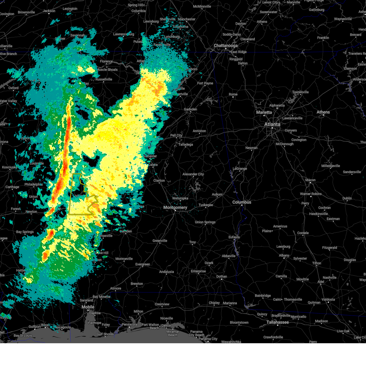 Svrbmx the national weather service in birmingham has issued a * severe thunderstorm warning for, sumter county in west central alabama, * until 730 pm cst. * at 619 pm cst, severe thunderstorms were located along a line extending from near paulette to near savoy, moving east at 40 mph (radar indicated). Hazards include 60 mph wind gusts. expect damage to roofs, siding, and trees Svrbmx the national weather service in birmingham has issued a * severe thunderstorm warning for, sumter county in west central alabama, * until 730 pm cst. * at 619 pm cst, severe thunderstorms were located along a line extending from near paulette to near savoy, moving east at 40 mph (radar indicated). Hazards include 60 mph wind gusts. expect damage to roofs, siding, and trees
|
| 2/15/2025 11:48 PM CST |
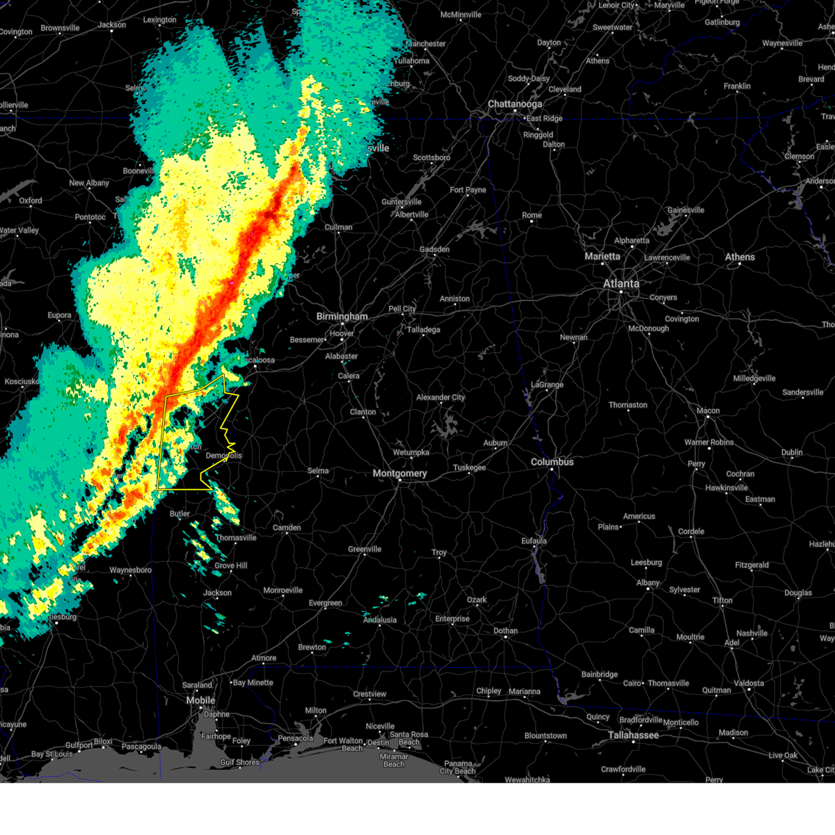 At 1148 pm cst, severe thunderstorms were located along a line extending from near aliceville to near alamucha, moving east at 60 mph (radar indicated). Hazards include 60 mph wind gusts. Expect damage to roofs, siding, and trees. Locations impacted include, demopolis, livingston, eutaw, york, cuba, forkland, boligee, union, gainesville, epes, emelle, panola, west greene, thornhill, boyd, knoxville, coatopa, kinterbish, walden quarters, and the university of west alabama. At 1148 pm cst, severe thunderstorms were located along a line extending from near aliceville to near alamucha, moving east at 60 mph (radar indicated). Hazards include 60 mph wind gusts. Expect damage to roofs, siding, and trees. Locations impacted include, demopolis, livingston, eutaw, york, cuba, forkland, boligee, union, gainesville, epes, emelle, panola, west greene, thornhill, boyd, knoxville, coatopa, kinterbish, walden quarters, and the university of west alabama.
|
| 2/15/2025 11:46 PM CST |
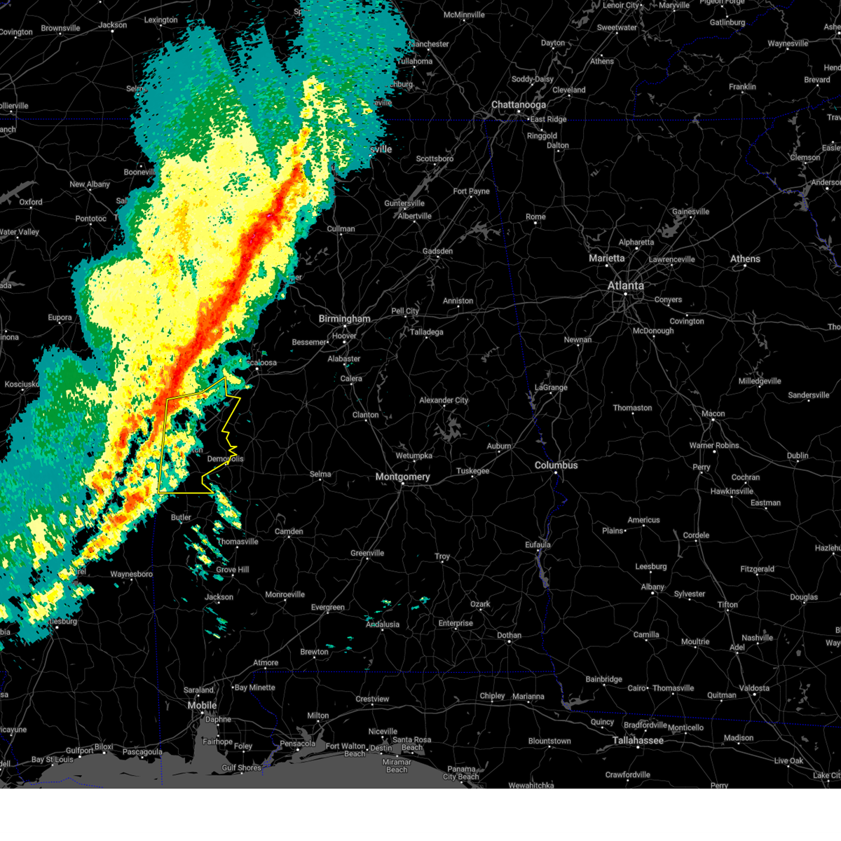 Svrbmx the national weather service in birmingham has issued a * severe thunderstorm warning for, greene county in west central alabama, sumter county in west central alabama, * until 1245 am cst. * at 1145 pm cst, severe thunderstorms were located along a line extending from near memphis to near causeyville, moving east at 80 mph (radar indicated). Hazards include 60 mph wind gusts. expect damage to roofs, siding, and trees Svrbmx the national weather service in birmingham has issued a * severe thunderstorm warning for, greene county in west central alabama, sumter county in west central alabama, * until 1245 am cst. * at 1145 pm cst, severe thunderstorms were located along a line extending from near memphis to near causeyville, moving east at 80 mph (radar indicated). Hazards include 60 mph wind gusts. expect damage to roofs, siding, and trees
|
| 12/28/2024 9:36 PM CST |
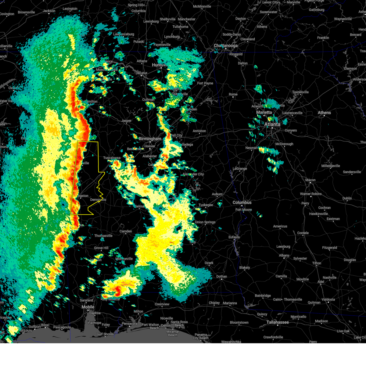 At 935 pm cst, severe thunderstorms were located along a line extending from near carrollton to near kinterbish, moving east at 55 mph (radar indicated). Hazards include 70 mph wind gusts. Expect considerable tree damage. damage is likely to mobile homes, roofs, and outbuildings. Locations impacted include, demopolis, livingston, eutaw, york, aliceville, gordo, reform, carrollton, pickensville, cuba, forkland, boligee, union, gainesville, epes, ethelsville, emelle, mcmullen, panola, and west greene. At 935 pm cst, severe thunderstorms were located along a line extending from near carrollton to near kinterbish, moving east at 55 mph (radar indicated). Hazards include 70 mph wind gusts. Expect considerable tree damage. damage is likely to mobile homes, roofs, and outbuildings. Locations impacted include, demopolis, livingston, eutaw, york, aliceville, gordo, reform, carrollton, pickensville, cuba, forkland, boligee, union, gainesville, epes, ethelsville, emelle, mcmullen, panola, and west greene.
|
| 12/28/2024 8:56 PM CST |
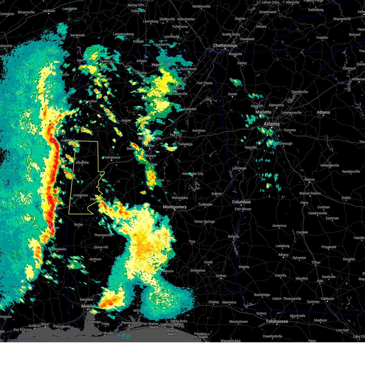 Svrbmx the national weather service in birmingham has issued a * severe thunderstorm warning for, pickens county in west central alabama, greene county in west central alabama, sumter county in west central alabama, * until 1015 pm cst. * at 855 pm cst, severe thunderstorms were located along a line extending from near crawford to near meridian, moving east at 45 mph (radar indicated). Hazards include 70 mph wind gusts. Expect considerable tree damage. Damage is likely to mobile homes, roofs, and outbuildings. Svrbmx the national weather service in birmingham has issued a * severe thunderstorm warning for, pickens county in west central alabama, greene county in west central alabama, sumter county in west central alabama, * until 1015 pm cst. * at 855 pm cst, severe thunderstorms were located along a line extending from near crawford to near meridian, moving east at 45 mph (radar indicated). Hazards include 70 mph wind gusts. Expect considerable tree damage. Damage is likely to mobile homes, roofs, and outbuildings.
|
| 7/5/2024 12:42 PM CDT |
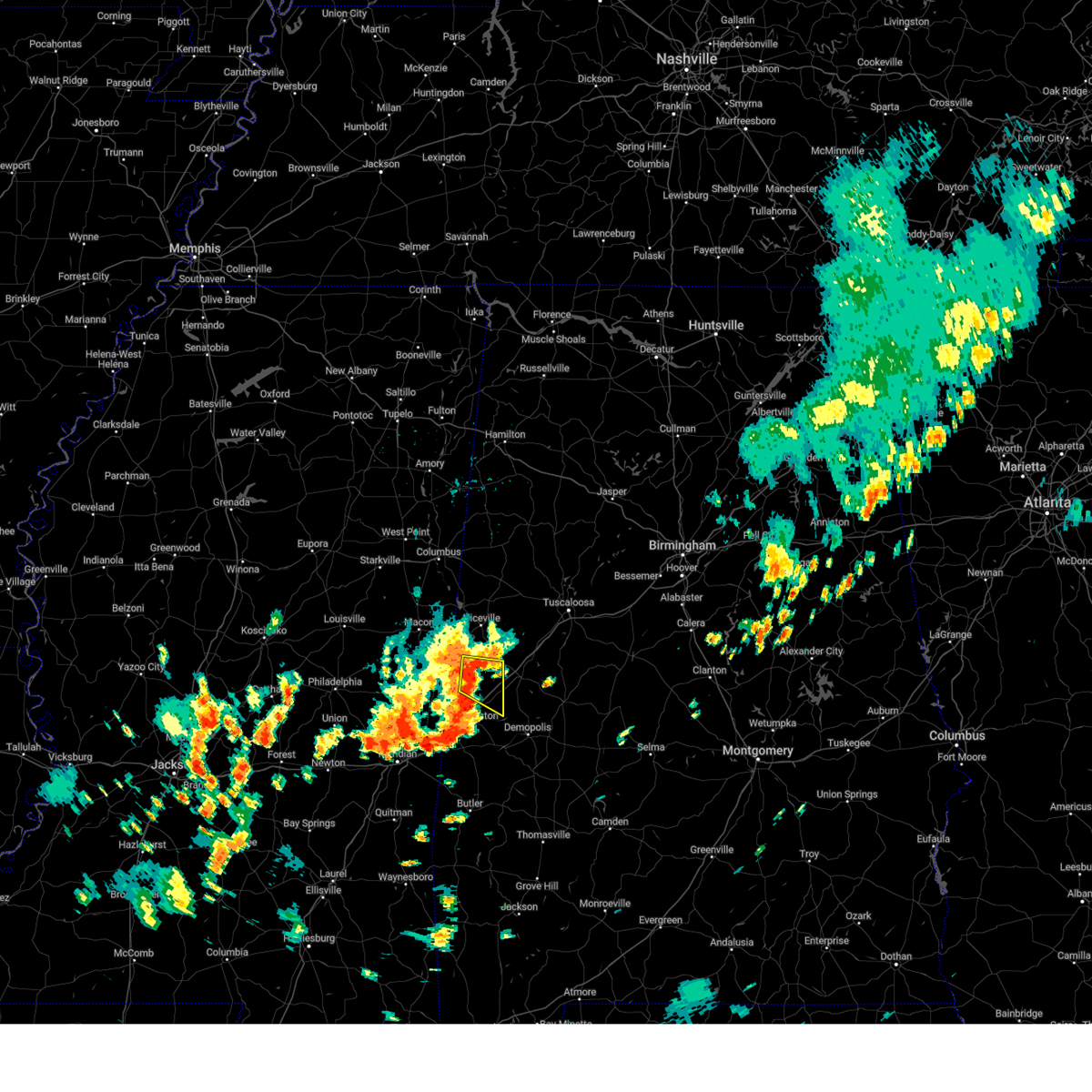 At 1242 pm cdt, a severe thunderstorm was located near gainesville, or 17 miles north of livingston, moving east at 20 mph (radar indicated). Hazards include 60 mph wind gusts and penny size hail. Expect damage to roofs, siding, and trees. Locations impacted include, boligee, gainesville, epes, new west greene, panola, west greene, warsaw, and new mount hebron. At 1242 pm cdt, a severe thunderstorm was located near gainesville, or 17 miles north of livingston, moving east at 20 mph (radar indicated). Hazards include 60 mph wind gusts and penny size hail. Expect damage to roofs, siding, and trees. Locations impacted include, boligee, gainesville, epes, new west greene, panola, west greene, warsaw, and new mount hebron.
|
| 7/5/2024 12:24 PM CDT |
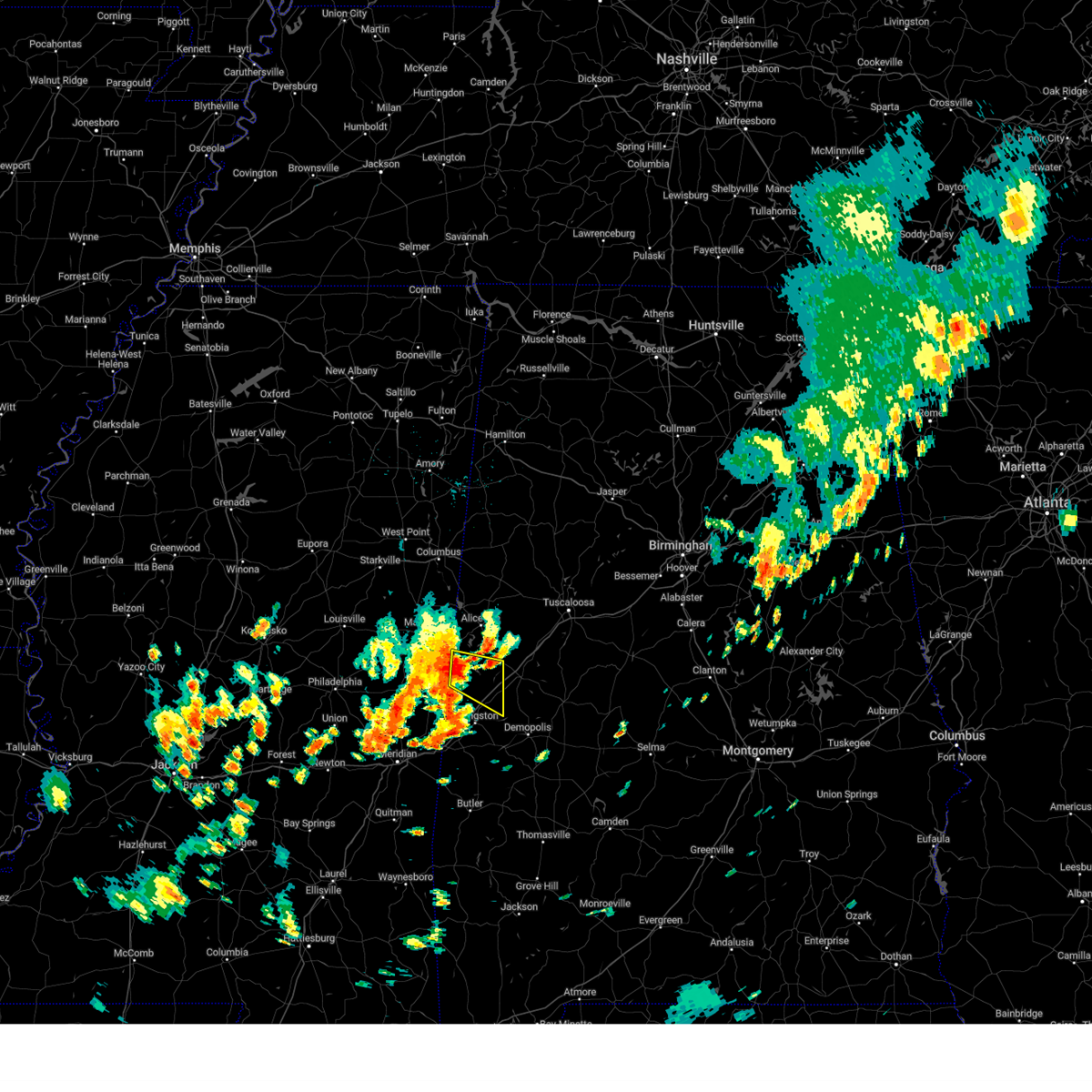 Svrbmx the national weather service in birmingham has issued a * severe thunderstorm warning for, southwestern greene county in west central alabama, northwestern sumter county in west central alabama, * until 115 pm cdt. * at 1224 pm cdt, a severe thunderstorm was located near panola, or 18 miles southwest of aliceville, moving east at 20 mph (radar indicated). Hazards include 60 mph wind gusts and penny size hail. expect damage to roofs, siding, and trees Svrbmx the national weather service in birmingham has issued a * severe thunderstorm warning for, southwestern greene county in west central alabama, northwestern sumter county in west central alabama, * until 115 pm cdt. * at 1224 pm cdt, a severe thunderstorm was located near panola, or 18 miles southwest of aliceville, moving east at 20 mph (radar indicated). Hazards include 60 mph wind gusts and penny size hail. expect damage to roofs, siding, and trees
|
| 6/5/2024 6:24 PM CDT |
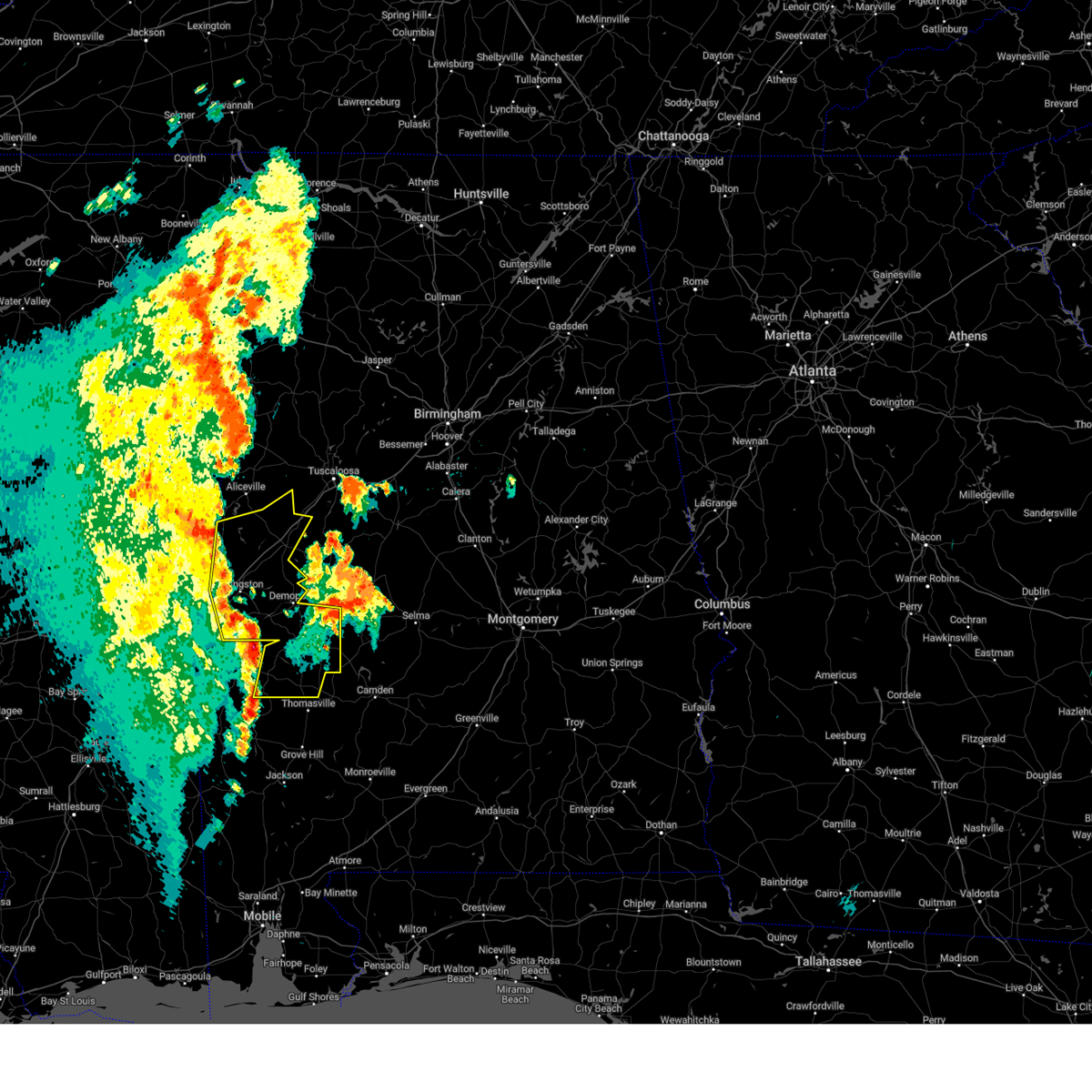 Svrbmx the national weather service in birmingham has issued a * severe thunderstorm warning for, marengo county in southwestern alabama, greene county in west central alabama, western hale county in west central alabama, sumter county in west central alabama, * until 730 pm cdt. * at 624 pm cdt, severe thunderstorms were located along a line extending from near panola to 8 miles west of jefferson, moving northeast at 55 mph (radar indicated). Hazards include 60 mph wind gusts and penny size hail. expect damage to roofs, siding, and trees Svrbmx the national weather service in birmingham has issued a * severe thunderstorm warning for, marengo county in southwestern alabama, greene county in west central alabama, western hale county in west central alabama, sumter county in west central alabama, * until 730 pm cdt. * at 624 pm cdt, severe thunderstorms were located along a line extending from near panola to 8 miles west of jefferson, moving northeast at 55 mph (radar indicated). Hazards include 60 mph wind gusts and penny size hail. expect damage to roofs, siding, and trees
|
| 5/9/2024 7:14 PM CDT |
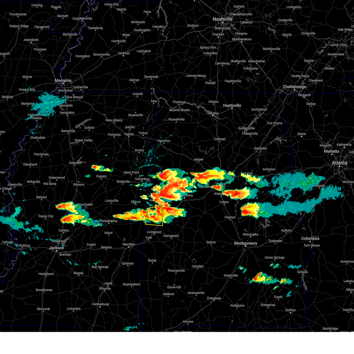 At 714 pm cdt, a severe thunderstorm was located near west greene, or 11 miles southeast of aliceville, moving east at 25 mph (radar indicated). Hazards include 60 mph wind gusts and quarter size hail. Hail damage to vehicles is expected. expect wind damage to roofs, siding, and trees. Locations impacted include, boligee, gainesville, new west greene, panola, west greene, geiger, warsaw, pleasant ridge, and new mount hebron. At 714 pm cdt, a severe thunderstorm was located near west greene, or 11 miles southeast of aliceville, moving east at 25 mph (radar indicated). Hazards include 60 mph wind gusts and quarter size hail. Hail damage to vehicles is expected. expect wind damage to roofs, siding, and trees. Locations impacted include, boligee, gainesville, new west greene, panola, west greene, geiger, warsaw, pleasant ridge, and new mount hebron.
|
| 5/9/2024 6:59 PM CDT |
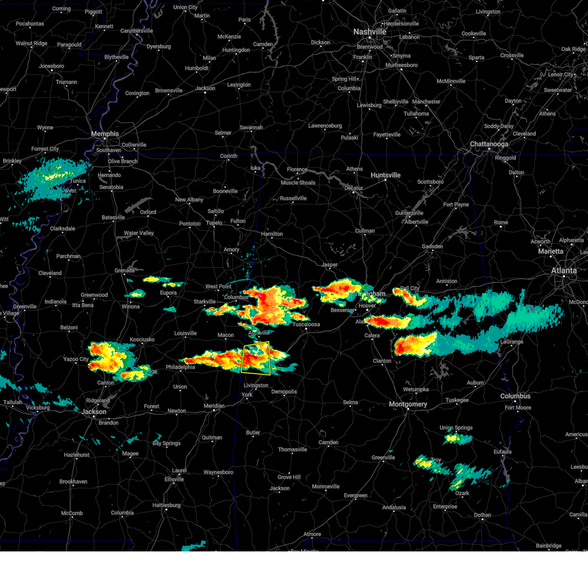 At 658 pm cdt, a severe thunderstorm was located near panola, or 12 miles south of aliceville, moving east at 45 mph (radar indicated). Hazards include 60 mph wind gusts and quarter size hail. Hail damage to vehicles is expected. expect wind damage to roofs, siding, and trees. Locations impacted include, boligee, gainesville, new west greene, panola, west greene, geiger, warsaw, pleasant ridge, and new mount hebron. At 658 pm cdt, a severe thunderstorm was located near panola, or 12 miles south of aliceville, moving east at 45 mph (radar indicated). Hazards include 60 mph wind gusts and quarter size hail. Hail damage to vehicles is expected. expect wind damage to roofs, siding, and trees. Locations impacted include, boligee, gainesville, new west greene, panola, west greene, geiger, warsaw, pleasant ridge, and new mount hebron.
|
| 5/9/2024 6:43 PM CDT |
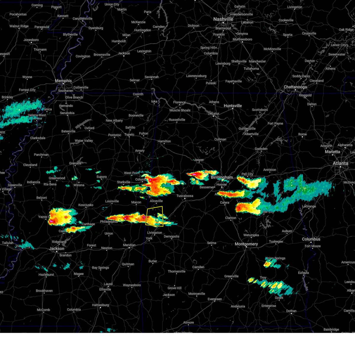 Svrbmx the national weather service in birmingham has issued a * severe thunderstorm warning for, southwestern pickens county in west central alabama, northwestern greene county in west central alabama, northwestern sumter county in west central alabama, * until 730 pm cdt. * at 643 pm cdt, a severe thunderstorm was located near cooksville, or 18 miles southeast of macon, moving east at 25 mph (radar indicated). Hazards include 60 mph wind gusts and quarter size hail. Hail damage to vehicles is expected. Expect wind damage to roofs, siding, and trees. Svrbmx the national weather service in birmingham has issued a * severe thunderstorm warning for, southwestern pickens county in west central alabama, northwestern greene county in west central alabama, northwestern sumter county in west central alabama, * until 730 pm cdt. * at 643 pm cdt, a severe thunderstorm was located near cooksville, or 18 miles southeast of macon, moving east at 25 mph (radar indicated). Hazards include 60 mph wind gusts and quarter size hail. Hail damage to vehicles is expected. Expect wind damage to roofs, siding, and trees.
|
| 8/6/2023 3:22 PM CDT |
 At 322 pm cdt, severe thunderstorms were located along a line extending from near deerlick creek campgrounds to new west greene, moving east at 45 mph (radar indicated). Hazards include 60 mph wind gusts. Expect damage to roofs, siding, and trees. locations impacted include, tuscaloosa, northport, eutaw, holt, moundville, lake view, brookwood, coaling, vance, coker, akron, union, panola, west greene, mcfarland mall, lake lurleen state park, tuscaloosa amphitheater, tuscaloosa regional airport, lake wildwood and knoxville. hail threat, radar indicated max hail size, <. 75 in wind threat, radar indicated max wind gust, 60 mph. At 322 pm cdt, severe thunderstorms were located along a line extending from near deerlick creek campgrounds to new west greene, moving east at 45 mph (radar indicated). Hazards include 60 mph wind gusts. Expect damage to roofs, siding, and trees. locations impacted include, tuscaloosa, northport, eutaw, holt, moundville, lake view, brookwood, coaling, vance, coker, akron, union, panola, west greene, mcfarland mall, lake lurleen state park, tuscaloosa amphitheater, tuscaloosa regional airport, lake wildwood and knoxville. hail threat, radar indicated max hail size, <. 75 in wind threat, radar indicated max wind gust, 60 mph.
|
| 8/6/2023 3:06 PM CDT |
 At 306 pm cdt, severe thunderstorms were located along a line extending from near northport to near new west greene, moving east at 35 mph (radar indicated). Hazards include 60 mph wind gusts. Expect damage to roofs, siding, and trees. locations impacted include, tuscaloosa, northport, holt, moundville, lake view, brookwood, coaling, vance, coker, akron, union, panola, west greene, mcfarland mall, benevola, lake lurleen state park, tuscaloosa amphitheater, tuscaloosa regional airport, lake wildwood and knoxville. hail threat, radar indicated max hail size, <. 75 in wind threat, radar indicated max wind gust, 60 mph. At 306 pm cdt, severe thunderstorms were located along a line extending from near northport to near new west greene, moving east at 35 mph (radar indicated). Hazards include 60 mph wind gusts. Expect damage to roofs, siding, and trees. locations impacted include, tuscaloosa, northport, holt, moundville, lake view, brookwood, coaling, vance, coker, akron, union, panola, west greene, mcfarland mall, benevola, lake lurleen state park, tuscaloosa amphitheater, tuscaloosa regional airport, lake wildwood and knoxville. hail threat, radar indicated max hail size, <. 75 in wind threat, radar indicated max wind gust, 60 mph.
|
| 8/6/2023 2:54 PM CDT |
 At 254 pm cdt, severe thunderstorms were located along a line extending from near lake lurleen state park to near panola, moving east at 30 mph (radar indicated). Hazards include 60 mph wind gusts. Expect damage to roofs, siding, and trees. locations impacted include, tuscaloosa, northport, aliceville, gordo, holt, moundville, lake view, brookwood, coaling, vance, coker, akron, union, mcmullen, panola, west greene, mcfarland mall, benevola, johnston lake and lake lurleen state park. hail threat, radar indicated max hail size, <. 75 in wind threat, radar indicated max wind gust, 60 mph. At 254 pm cdt, severe thunderstorms were located along a line extending from near lake lurleen state park to near panola, moving east at 30 mph (radar indicated). Hazards include 60 mph wind gusts. Expect damage to roofs, siding, and trees. locations impacted include, tuscaloosa, northport, aliceville, gordo, holt, moundville, lake view, brookwood, coaling, vance, coker, akron, union, mcmullen, panola, west greene, mcfarland mall, benevola, johnston lake and lake lurleen state park. hail threat, radar indicated max hail size, <. 75 in wind threat, radar indicated max wind gust, 60 mph.
|
| 8/6/2023 2:40 PM CDT |
 At 239 pm cdt, severe thunderstorms were located along a line extending from near gordo to near panola, moving east at 35 mph (radar indicated). Hazards include 60 mph wind gusts. expect damage to roofs, siding, and trees At 239 pm cdt, severe thunderstorms were located along a line extending from near gordo to near panola, moving east at 35 mph (radar indicated). Hazards include 60 mph wind gusts. expect damage to roofs, siding, and trees
|
| 8/5/2023 8:26 PM CDT |
 At 826 pm cdt, severe thunderstorms were located along a line extending from akron to near west greene to 6 miles west of gainesville, moving southeast at 20 mph (radar indicated). Hazards include 60 mph wind gusts. Expect damage to roofs, siding, and trees. locations impacted include, livingston, eutaw, greensboro, forkland, akron, boligee, gainesville, epes, emelle, panola, walden quarters, west greene, thornhill, wedgeworth, tishabee, greensboro municipal airport, new west greene, boyd, allison and sawyerville. hail threat, radar indicated max hail size, <. 75 in wind threat, radar indicated max wind gust, 60 mph. At 826 pm cdt, severe thunderstorms were located along a line extending from akron to near west greene to 6 miles west of gainesville, moving southeast at 20 mph (radar indicated). Hazards include 60 mph wind gusts. Expect damage to roofs, siding, and trees. locations impacted include, livingston, eutaw, greensboro, forkland, akron, boligee, gainesville, epes, emelle, panola, walden quarters, west greene, thornhill, wedgeworth, tishabee, greensboro municipal airport, new west greene, boyd, allison and sawyerville. hail threat, radar indicated max hail size, <. 75 in wind threat, radar indicated max wind gust, 60 mph.
|
| 8/5/2023 8:16 PM CDT |
 At 816 pm cdt, severe thunderstorms were located along a line extending from akron to west greene to 7 miles southwest of panola to near porterville, moving southeast at 20 mph (radar indicated). Hazards include 60 mph wind gusts. Expect damage to roofs, siding, and trees. locations impacted include, livingston, eutaw, greensboro, moundville, forkland, akron, boligee, union, gainesville, epes, emelle, panola, walden quarters, west greene, thornhill, wedgeworth, tishabee, greensboro municipal airport, new west greene and boyd. hail threat, radar indicated max hail size, <. 75 in wind threat, radar indicated max wind gust, 60 mph. At 816 pm cdt, severe thunderstorms were located along a line extending from akron to west greene to 7 miles southwest of panola to near porterville, moving southeast at 20 mph (radar indicated). Hazards include 60 mph wind gusts. Expect damage to roofs, siding, and trees. locations impacted include, livingston, eutaw, greensboro, moundville, forkland, akron, boligee, union, gainesville, epes, emelle, panola, walden quarters, west greene, thornhill, wedgeworth, tishabee, greensboro municipal airport, new west greene and boyd. hail threat, radar indicated max hail size, <. 75 in wind threat, radar indicated max wind gust, 60 mph.
|
| 8/5/2023 8:02 PM CDT |
 At 802 pm cdt, severe thunderstorms were located along a line extending from knoxville to near union to near cooksville to near electric mills, moving southeast at 15 mph (radar indicated). Hazards include 60 mph wind gusts. expect damage to roofs, siding, and trees At 802 pm cdt, severe thunderstorms were located along a line extending from knoxville to near union to near cooksville to near electric mills, moving southeast at 15 mph (radar indicated). Hazards include 60 mph wind gusts. expect damage to roofs, siding, and trees
|
|
|
| 8/5/2023 7:58 PM CDT |
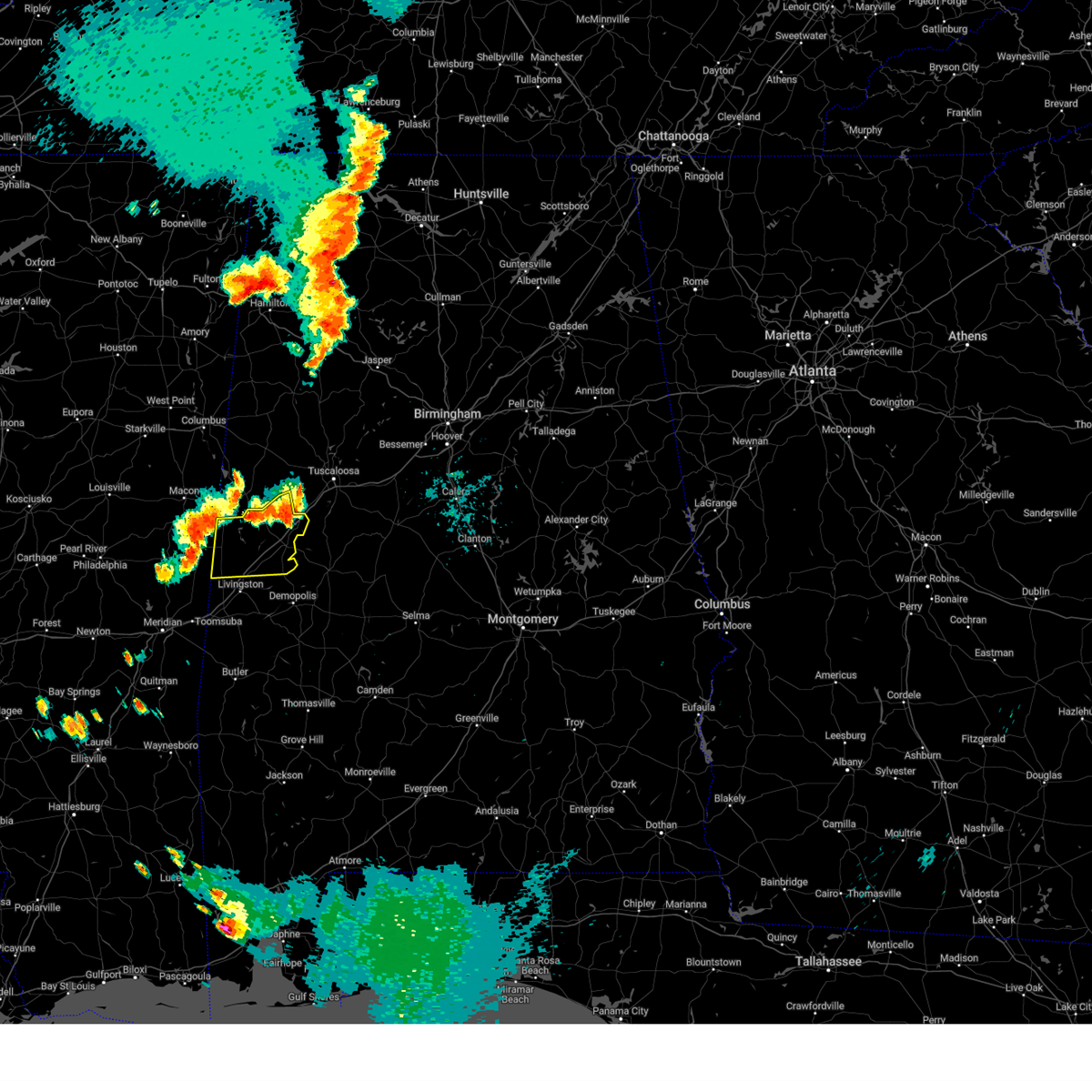 At 757 pm cdt, severe thunderstorms were located along a line extending from knoxville to near union to near paulette, moving southeast at 20 mph (radar indicated). Hazards include 60 mph wind gusts. Expect damage to roofs, siding, and trees. locations impacted include, eutaw, boligee, union, gainesville, epes, emelle, panola, walden quarters, west greene, thornhill, new west greene, mantua, allison, knoxville, geiger, snoddy, new mount hebron, sumterville, eutaw municipal airport and pleasant ridge. hail threat, radar indicated max hail size, <. 75 in wind threat, radar indicated max wind gust, 60 mph. At 757 pm cdt, severe thunderstorms were located along a line extending from knoxville to near union to near paulette, moving southeast at 20 mph (radar indicated). Hazards include 60 mph wind gusts. Expect damage to roofs, siding, and trees. locations impacted include, eutaw, boligee, union, gainesville, epes, emelle, panola, walden quarters, west greene, thornhill, new west greene, mantua, allison, knoxville, geiger, snoddy, new mount hebron, sumterville, eutaw municipal airport and pleasant ridge. hail threat, radar indicated max hail size, <. 75 in wind threat, radar indicated max wind gust, 60 mph.
|
| 8/5/2023 7:41 PM CDT |
 At 741 pm cdt, severe thunderstorms were located along a line extending from jena to near mantua to near paulette, moving southeast at 20 mph (radar indicated). Hazards include 60 mph wind gusts. Expect damage to roofs, siding, and trees. locations impacted include, eutaw, aliceville, boligee, union, gainesville, epes, emelle, memphis, panola, walden quarters, west greene, thornhill, benevola, new west greene, mantua, allison, knoxville, jena, geiger and snoddy. hail threat, radar indicated max hail size, <. 75 in wind threat, radar indicated max wind gust, 60 mph. At 741 pm cdt, severe thunderstorms were located along a line extending from jena to near mantua to near paulette, moving southeast at 20 mph (radar indicated). Hazards include 60 mph wind gusts. Expect damage to roofs, siding, and trees. locations impacted include, eutaw, aliceville, boligee, union, gainesville, epes, emelle, memphis, panola, walden quarters, west greene, thornhill, benevola, new west greene, mantua, allison, knoxville, jena, geiger and snoddy. hail threat, radar indicated max hail size, <. 75 in wind threat, radar indicated max wind gust, 60 mph.
|
| 8/5/2023 7:28 PM CDT |
 At 728 pm cdt, severe thunderstorms were located along a line extending from near jena to 6 miles southwest of benevola to near paulette, moving southeast at 15 mph (radar indicated). Hazards include 60 mph wind gusts. Expect damage to roofs, siding, and trees. locations impacted include, eutaw, aliceville, boligee, union, gainesville, epes, emelle, memphis, mcmullen, panola, walden quarters, west greene, thornhill, benevola, johnston lake, garden, new west greene, mantua, allison and knoxville. hail threat, radar indicated max hail size, <. 75 in wind threat, radar indicated max wind gust, 60 mph. At 728 pm cdt, severe thunderstorms were located along a line extending from near jena to 6 miles southwest of benevola to near paulette, moving southeast at 15 mph (radar indicated). Hazards include 60 mph wind gusts. Expect damage to roofs, siding, and trees. locations impacted include, eutaw, aliceville, boligee, union, gainesville, epes, emelle, memphis, mcmullen, panola, walden quarters, west greene, thornhill, benevola, johnston lake, garden, new west greene, mantua, allison and knoxville. hail threat, radar indicated max hail size, <. 75 in wind threat, radar indicated max wind gust, 60 mph.
|
| 8/5/2023 7:15 PM CDT |
 At 715 pm cdt, severe thunderstorms were located along a line extending from near benevola to 7 miles southeast of aliceville to near panola, moving southeast at 20 mph (radar indicated). Hazards include 60 mph wind gusts. expect damage to roofs, siding, and trees At 715 pm cdt, severe thunderstorms were located along a line extending from near benevola to 7 miles southeast of aliceville to near panola, moving southeast at 20 mph (radar indicated). Hazards include 60 mph wind gusts. expect damage to roofs, siding, and trees
|
| 8/3/2023 5:36 PM CDT |
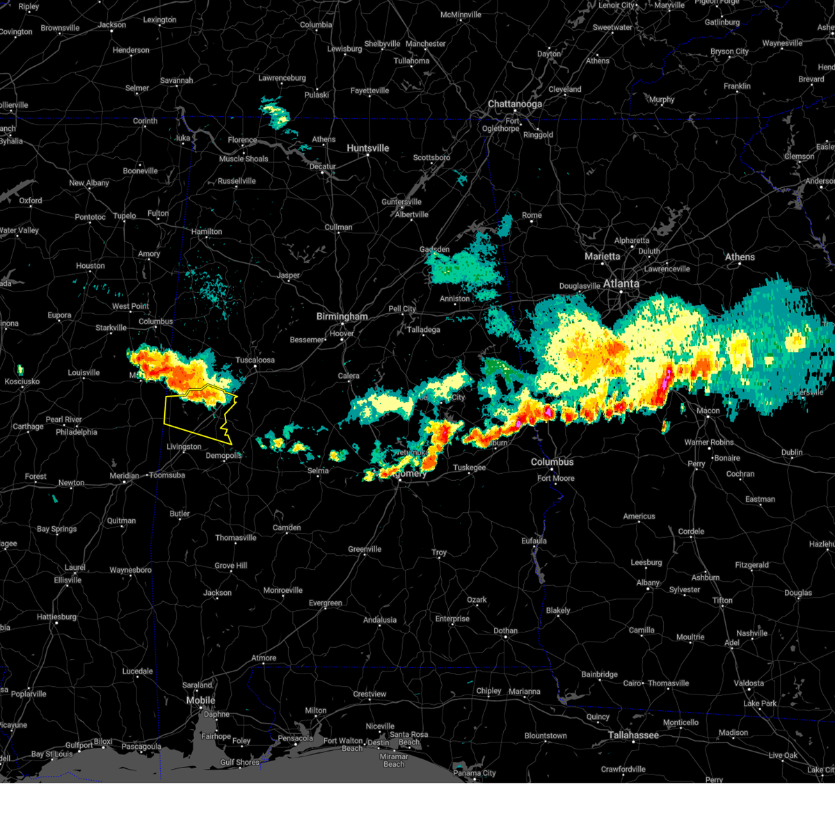 At 536 pm cdt, severe thunderstorms were located along a line extending from near prairie point to near akron, moving southeast at 30 mph (radar indicated). Hazards include 60 mph wind gusts. Expect damage to roofs, siding, and trees. locations impacted include, eutaw, boligee, union, gainesville, new west greene, mantua, panola, allison, walden quarters, west greene, knoxville, thornhill, geiger, snoddy, warsaw, new mount hebron, eutaw municipal airport, clinton, pleasant ridge and five points intersection. hail threat, radar indicated max hail size, <. 75 in wind threat, radar indicated max wind gust, 60 mph. At 536 pm cdt, severe thunderstorms were located along a line extending from near prairie point to near akron, moving southeast at 30 mph (radar indicated). Hazards include 60 mph wind gusts. Expect damage to roofs, siding, and trees. locations impacted include, eutaw, boligee, union, gainesville, new west greene, mantua, panola, allison, walden quarters, west greene, knoxville, thornhill, geiger, snoddy, warsaw, new mount hebron, eutaw municipal airport, clinton, pleasant ridge and five points intersection. hail threat, radar indicated max hail size, <. 75 in wind threat, radar indicated max wind gust, 60 mph.
|
| 8/3/2023 5:00 PM CDT |
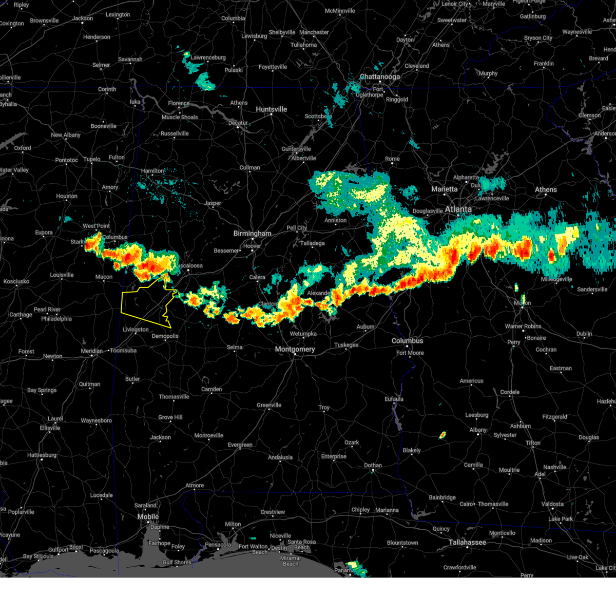 At 500 pm cdt, severe thunderstorms were located along a line extending from near deerbrook to near jena, moving southeast at 30 mph (radar indicated). Hazards include 60 mph wind gusts. expect damage to roofs, siding, and trees At 500 pm cdt, severe thunderstorms were located along a line extending from near deerbrook to near jena, moving southeast at 30 mph (radar indicated). Hazards include 60 mph wind gusts. expect damage to roofs, siding, and trees
|
| 6/18/2023 7:07 AM CDT |
 At 707 am cdt, a severe thunderstorm was located near panola, or 18 miles southwest of aliceville, moving east at 30 mph (radar indicated). Hazards include 60 mph wind gusts and quarter size hail. Hail damage to vehicles is expected. Expect wind damage to roofs, siding, and trees. At 707 am cdt, a severe thunderstorm was located near panola, or 18 miles southwest of aliceville, moving east at 30 mph (radar indicated). Hazards include 60 mph wind gusts and quarter size hail. Hail damage to vehicles is expected. Expect wind damage to roofs, siding, and trees.
|
| 6/16/2023 7:10 PM CDT |
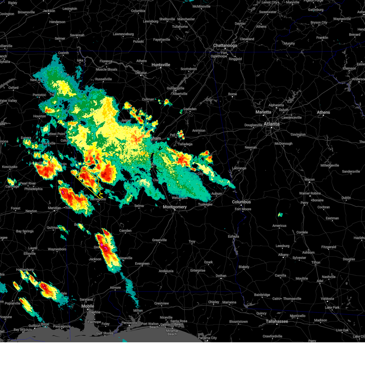 At 710 pm cdt, a severe thunderstorm was located over west greene, or 13 miles south of aliceville, moving southeast at 35 mph (radar indicated). Hazards include golf ball size hail and 70 mph wind gusts. People and animals outdoors will be injured. expect hail damage to roofs, siding, windows, and vehicles. expect considerable tree damage. wind damage is also likely to mobile homes, roofs, and outbuildings. locations impacted include, eutaw, forkland, boligee, new west greene, allison, walden quarters, west greene, thornhill, warsaw, new mount hebron, eutaw municipal airport, clinton, pleasant ridge, five points intersection, i 20 rest area near eutaw and birdine. thunderstorm damage threat, considerable hail threat, radar indicated max hail size, 1. 75 in wind threat, radar indicated max wind gust, 70 mph. At 710 pm cdt, a severe thunderstorm was located over west greene, or 13 miles south of aliceville, moving southeast at 35 mph (radar indicated). Hazards include golf ball size hail and 70 mph wind gusts. People and animals outdoors will be injured. expect hail damage to roofs, siding, windows, and vehicles. expect considerable tree damage. wind damage is also likely to mobile homes, roofs, and outbuildings. locations impacted include, eutaw, forkland, boligee, new west greene, allison, walden quarters, west greene, thornhill, warsaw, new mount hebron, eutaw municipal airport, clinton, pleasant ridge, five points intersection, i 20 rest area near eutaw and birdine. thunderstorm damage threat, considerable hail threat, radar indicated max hail size, 1. 75 in wind threat, radar indicated max wind gust, 70 mph.
|
| 6/16/2023 6:54 PM CDT |
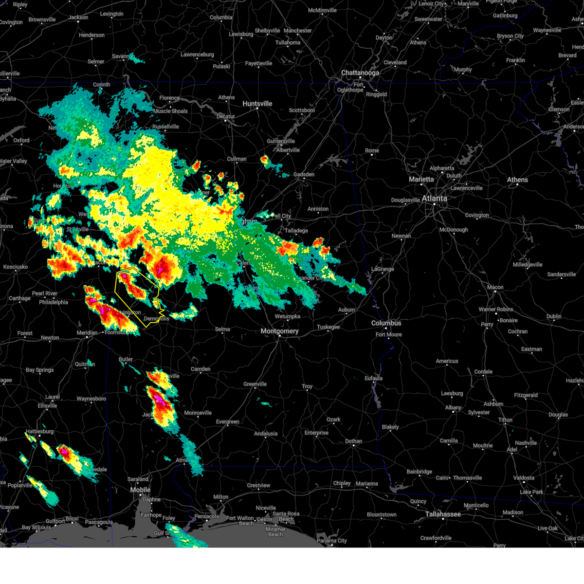 At 654 pm cdt, a severe thunderstorm was located over panola, or 10 miles southwest of aliceville, moving southeast at 30 mph (radar indicated). Hazards include tennis ball size hail and 70 mph wind gusts. People and animals outdoors will be injured. expect hail damage to roofs, siding, windows, and vehicles. expect considerable tree damage. wind damage is also likely to mobile homes, roofs, and outbuildings. locations impacted include, demopolis, eutaw, forkland, boligee, gainesville, epes, panola, walden quarters, west greene, thornhill, tishabee, new west greene, allison, duffys bend, geiger, new mount hebron, belmont, demopolis lock and dam, eutaw municipal airport and mcdowell. thunderstorm damage threat, considerable hail threat, radar indicated max hail size, 2. 50 in wind threat, radar indicated max wind gust, 70 mph. At 654 pm cdt, a severe thunderstorm was located over panola, or 10 miles southwest of aliceville, moving southeast at 30 mph (radar indicated). Hazards include tennis ball size hail and 70 mph wind gusts. People and animals outdoors will be injured. expect hail damage to roofs, siding, windows, and vehicles. expect considerable tree damage. wind damage is also likely to mobile homes, roofs, and outbuildings. locations impacted include, demopolis, eutaw, forkland, boligee, gainesville, epes, panola, walden quarters, west greene, thornhill, tishabee, new west greene, allison, duffys bend, geiger, new mount hebron, belmont, demopolis lock and dam, eutaw municipal airport and mcdowell. thunderstorm damage threat, considerable hail threat, radar indicated max hail size, 2. 50 in wind threat, radar indicated max wind gust, 70 mph.
|
| 6/16/2023 6:51 PM CDT |
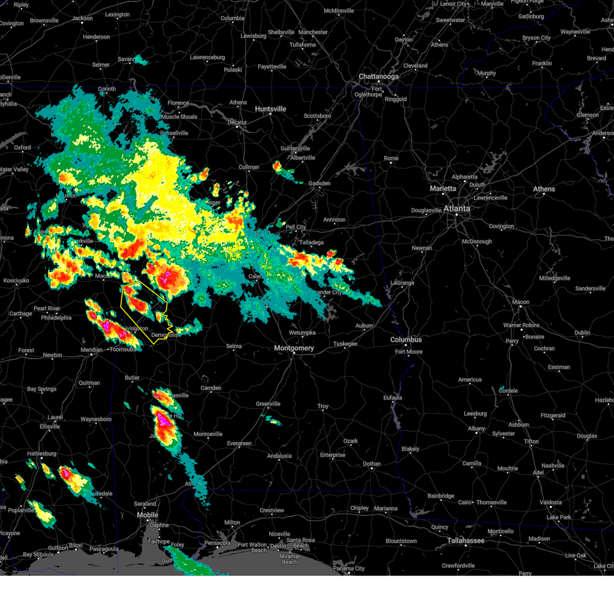 At 651 pm cdt, a severe thunderstorm was located over panola, or 15 miles southwest of aliceville, moving southeast at 50 mph (radar indicated). Hazards include golf ball size hail and 60 mph wind gusts. People and animals outdoors will be injured. expect hail damage to roofs, siding, windows, and vehicles. Expect wind damage to roofs, siding, and trees. At 651 pm cdt, a severe thunderstorm was located over panola, or 15 miles southwest of aliceville, moving southeast at 50 mph (radar indicated). Hazards include golf ball size hail and 60 mph wind gusts. People and animals outdoors will be injured. expect hail damage to roofs, siding, windows, and vehicles. Expect wind damage to roofs, siding, and trees.
|
| 6/14/2023 3:32 PM CDT |
 At 332 pm cdt, a severe thunderstorm was located near gainesville, or 13 miles west of eutaw, moving east at 45 mph (radar indicated). Hazards include golf ball size hail and 70 mph wind gusts. People and animals outdoors will be injured. expect hail damage to roofs, siding, windows, and vehicles. expect considerable tree damage. wind damage is also likely to mobile homes, roofs, and outbuildings. locations impacted include, demopolis, livingston, eutaw, forkland, boligee, gainesville, epes, emelle, panola, walden quarters, the university of west alabama, thornhill, dug hill, tishabee, new west greene, boyd, allison, duffys bend, bluffport and geiger. thunderstorm damage threat, considerable hail threat, radar indicated max hail size, 1. 75 in wind threat, radar indicated max wind gust, 70 mph. At 332 pm cdt, a severe thunderstorm was located near gainesville, or 13 miles west of eutaw, moving east at 45 mph (radar indicated). Hazards include golf ball size hail and 70 mph wind gusts. People and animals outdoors will be injured. expect hail damage to roofs, siding, windows, and vehicles. expect considerable tree damage. wind damage is also likely to mobile homes, roofs, and outbuildings. locations impacted include, demopolis, livingston, eutaw, forkland, boligee, gainesville, epes, emelle, panola, walden quarters, the university of west alabama, thornhill, dug hill, tishabee, new west greene, boyd, allison, duffys bend, bluffport and geiger. thunderstorm damage threat, considerable hail threat, radar indicated max hail size, 1. 75 in wind threat, radar indicated max wind gust, 70 mph.
|
| 6/14/2023 3:16 PM CDT |
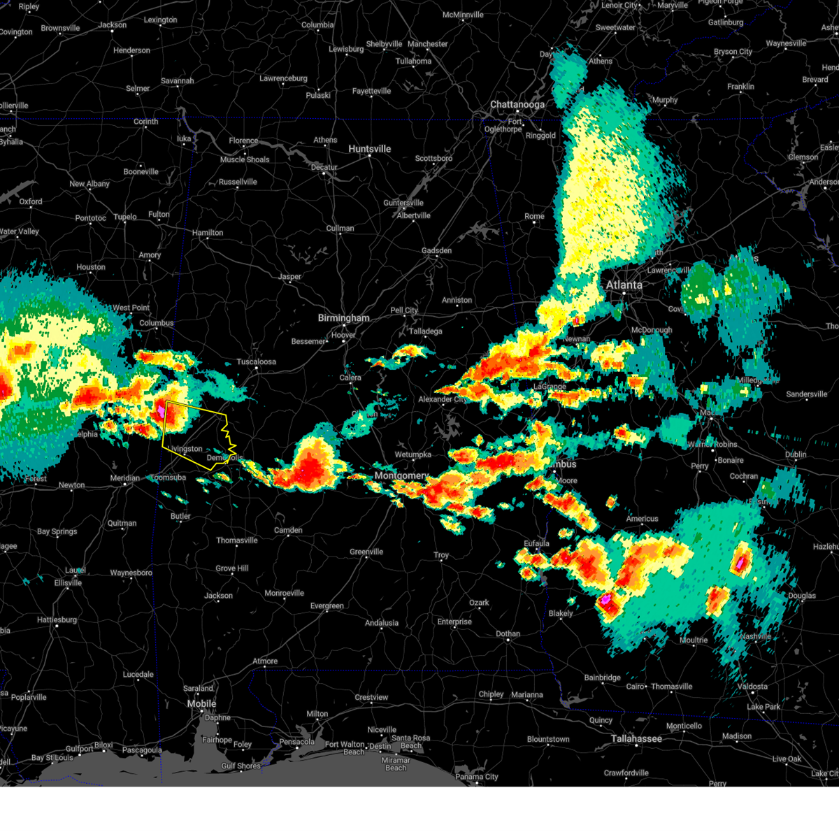 At 316 pm cdt, a severe thunderstorm was located 7 miles southwest of panola, or 19 miles northwest of livingston, moving east at 45 mph (radar indicated). Hazards include golf ball size hail and 70 mph wind gusts. People and animals outdoors will be injured. expect hail damage to roofs, siding, windows, and vehicles. expect considerable tree damage. wind damage is also likely to mobile homes, roofs, and outbuildings. locations impacted include, demopolis, livingston, eutaw, forkland, boligee, gainesville, epes, emelle, panola, walden quarters, the university of west alabama, thornhill, dug hill, tishabee, new west greene, boyd, allison, duffys bend, bluffport and geiger. thunderstorm damage threat, considerable hail threat, radar indicated max hail size, 1. 75 in wind threat, radar indicated max wind gust, 70 mph. At 316 pm cdt, a severe thunderstorm was located 7 miles southwest of panola, or 19 miles northwest of livingston, moving east at 45 mph (radar indicated). Hazards include golf ball size hail and 70 mph wind gusts. People and animals outdoors will be injured. expect hail damage to roofs, siding, windows, and vehicles. expect considerable tree damage. wind damage is also likely to mobile homes, roofs, and outbuildings. locations impacted include, demopolis, livingston, eutaw, forkland, boligee, gainesville, epes, emelle, panola, walden quarters, the university of west alabama, thornhill, dug hill, tishabee, new west greene, boyd, allison, duffys bend, bluffport and geiger. thunderstorm damage threat, considerable hail threat, radar indicated max hail size, 1. 75 in wind threat, radar indicated max wind gust, 70 mph.
|
| 6/14/2023 3:02 PM CDT |
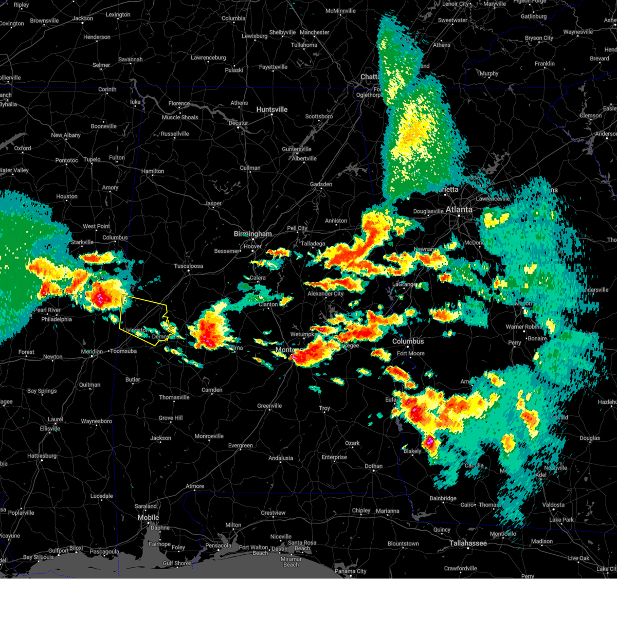 At 302 pm cdt, a severe thunderstorm was located near electric mills, or 20 miles east of preston, moving southeast at 45 mph (radar indicated). Hazards include 60 mph wind gusts and quarter size hail. Hail damage to vehicles is expected. Expect wind damage to roofs, siding, and trees. At 302 pm cdt, a severe thunderstorm was located near electric mills, or 20 miles east of preston, moving southeast at 45 mph (radar indicated). Hazards include 60 mph wind gusts and quarter size hail. Hail damage to vehicles is expected. Expect wind damage to roofs, siding, and trees.
|
| 6/14/2023 1:39 PM CDT |
 At 139 pm cdt, a severe thunderstorm was located near panola, or 7 miles southwest of aliceville, moving east at 40 mph (radar indicated). Hazards include tennis ball size hail and 70 mph wind gusts. People and animals outdoors will be injured. expect hail damage to roofs, siding, windows, and vehicles. expect considerable tree damage. wind damage is also likely to mobile homes, roofs, and outbuildings. locations impacted include, eutaw, aliceville, union, memphis, mcmullen, garden, new west greene, mantua, panola, west greene, knoxville, gainesville lake campground, snoddy, warsaw, new mount hebron, selden lock and dam, eutaw municipal airport, clinton, george downer airport and pleasant ridge. thunderstorm damage threat, considerable hail threat, radar indicated max hail size, 2. 50 in wind threat, radar indicated max wind gust, 70 mph. At 139 pm cdt, a severe thunderstorm was located near panola, or 7 miles southwest of aliceville, moving east at 40 mph (radar indicated). Hazards include tennis ball size hail and 70 mph wind gusts. People and animals outdoors will be injured. expect hail damage to roofs, siding, windows, and vehicles. expect considerable tree damage. wind damage is also likely to mobile homes, roofs, and outbuildings. locations impacted include, eutaw, aliceville, union, memphis, mcmullen, garden, new west greene, mantua, panola, west greene, knoxville, gainesville lake campground, snoddy, warsaw, new mount hebron, selden lock and dam, eutaw municipal airport, clinton, george downer airport and pleasant ridge. thunderstorm damage threat, considerable hail threat, radar indicated max hail size, 2. 50 in wind threat, radar indicated max wind gust, 70 mph.
|
| 6/14/2023 1:23 PM CDT |
 At 122 pm cdt, a severe thunderstorm was located near paulette, or 14 miles southwest of pickensville, moving southeast at 40 mph (radar indicated). Hazards include tennis ball size hail and 70 mph wind gusts. People and animals outdoors will be injured. expect hail damage to roofs, siding, windows, and vehicles. expect considerable tree damage. wind damage is also likely to mobile homes, roofs, and outbuildings. locations impacted include, eutaw, aliceville, union, memphis, mcmullen, garden, new west greene, mantua, panola, west greene, knoxville, benevola, gainesville lake campground, snoddy, warsaw, new mount hebron, selden lock and dam, eutaw municipal airport, clinton and george downer airport. thunderstorm damage threat, considerable hail threat, radar indicated max hail size, 2. 50 in wind threat, radar indicated max wind gust, 70 mph. At 122 pm cdt, a severe thunderstorm was located near paulette, or 14 miles southwest of pickensville, moving southeast at 40 mph (radar indicated). Hazards include tennis ball size hail and 70 mph wind gusts. People and animals outdoors will be injured. expect hail damage to roofs, siding, windows, and vehicles. expect considerable tree damage. wind damage is also likely to mobile homes, roofs, and outbuildings. locations impacted include, eutaw, aliceville, union, memphis, mcmullen, garden, new west greene, mantua, panola, west greene, knoxville, benevola, gainesville lake campground, snoddy, warsaw, new mount hebron, selden lock and dam, eutaw municipal airport, clinton and george downer airport. thunderstorm damage threat, considerable hail threat, radar indicated max hail size, 2. 50 in wind threat, radar indicated max wind gust, 70 mph.
|
| 6/14/2023 1:05 PM CDT |
 At 104 pm cdt, a severe thunderstorm was located near macon, or 19 miles west of pickensville, moving east at 50 mph (radar indicated). Hazards include golf ball size hail and 70 mph wind gusts. People and animals outdoors will be injured. expect hail damage to roofs, siding, windows, and vehicles. expect considerable tree damage. Wind damage is also likely to mobile homes, roofs, and outbuildings. At 104 pm cdt, a severe thunderstorm was located near macon, or 19 miles west of pickensville, moving east at 50 mph (radar indicated). Hazards include golf ball size hail and 70 mph wind gusts. People and animals outdoors will be injured. expect hail damage to roofs, siding, windows, and vehicles. expect considerable tree damage. Wind damage is also likely to mobile homes, roofs, and outbuildings.
|
| 1/3/2023 7:29 PM CST |
 At 729 pm cst, a severe thunderstorm was located over panola, or 14 miles southwest of aliceville, moving northeast at 35 mph (radar indicated). Hazards include ping pong ball size hail and 60 mph wind gusts. People and animals outdoors will be injured. expect hail damage to roofs, siding, windows, and vehicles. Expect wind damage to roofs, siding, and trees. At 729 pm cst, a severe thunderstorm was located over panola, or 14 miles southwest of aliceville, moving northeast at 35 mph (radar indicated). Hazards include ping pong ball size hail and 60 mph wind gusts. People and animals outdoors will be injured. expect hail damage to roofs, siding, windows, and vehicles. Expect wind damage to roofs, siding, and trees.
|
| 7/21/2022 8:39 PM CDT |
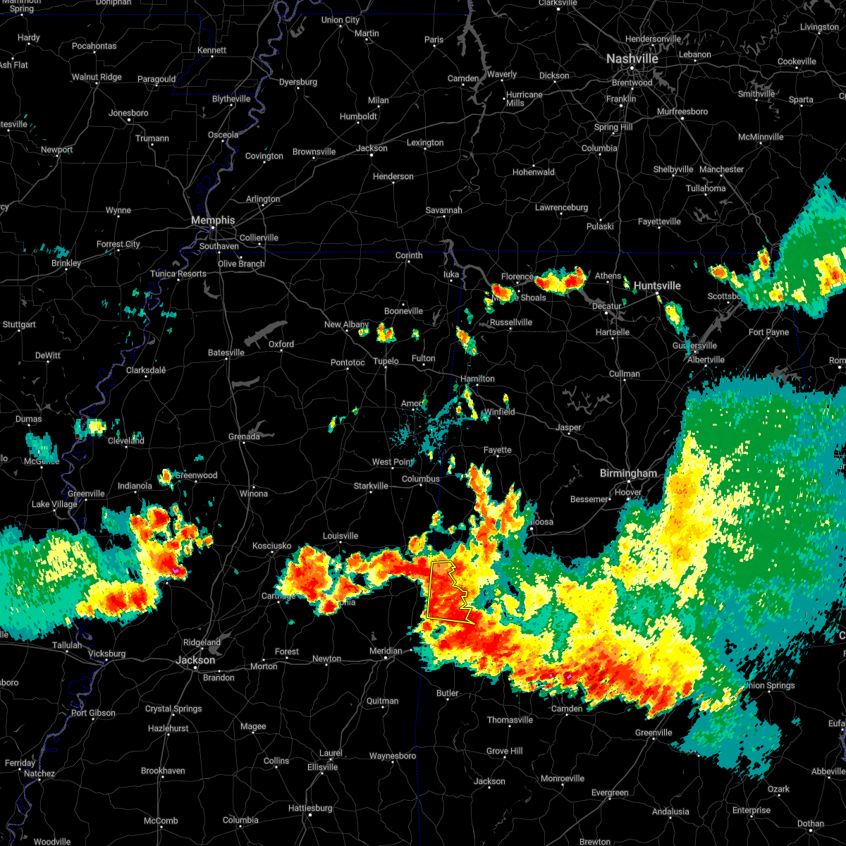 At 839 pm cdt, severe thunderstorms were located along a line extending from near cooksville to near bluffport, moving south at 25 mph (radar indicated). Hazards include 60 mph wind gusts and penny size hail. Expect damage to roofs, siding, and trees. locations impacted include, livingston, gainesville, epes, emelle, panola, geiger, warsaw and sumterville. hail threat, radar indicated max hail size, 0. 75 in wind threat, radar indicated max wind gust, 60 mph. At 839 pm cdt, severe thunderstorms were located along a line extending from near cooksville to near bluffport, moving south at 25 mph (radar indicated). Hazards include 60 mph wind gusts and penny size hail. Expect damage to roofs, siding, and trees. locations impacted include, livingston, gainesville, epes, emelle, panola, geiger, warsaw and sumterville. hail threat, radar indicated max hail size, 0. 75 in wind threat, radar indicated max wind gust, 60 mph.
|
| 7/21/2022 8:26 PM CDT |
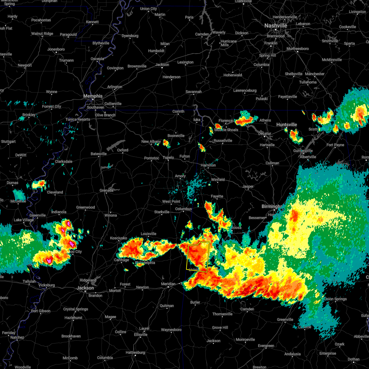 At 826 pm cdt, severe thunderstorms were located along a line extending from near cooksville to near tishabee, moving south at 25 mph (radar indicated). Hazards include 60 mph wind gusts and penny size hail. Expect damage to roofs, siding, and trees. locations impacted include, livingston, boligee, gainesville, epes, emelle, new west greene, panola, west greene, geiger, warsaw, new mount hebron, sumterville, clinton, pleasant ridge and lewiston. hail threat, radar indicated max hail size, 0. 75 in wind threat, radar indicated max wind gust, 60 mph. At 826 pm cdt, severe thunderstorms were located along a line extending from near cooksville to near tishabee, moving south at 25 mph (radar indicated). Hazards include 60 mph wind gusts and penny size hail. Expect damage to roofs, siding, and trees. locations impacted include, livingston, boligee, gainesville, epes, emelle, new west greene, panola, west greene, geiger, warsaw, new mount hebron, sumterville, clinton, pleasant ridge and lewiston. hail threat, radar indicated max hail size, 0. 75 in wind threat, radar indicated max wind gust, 60 mph.
|
| 7/21/2022 8:14 PM CDT |
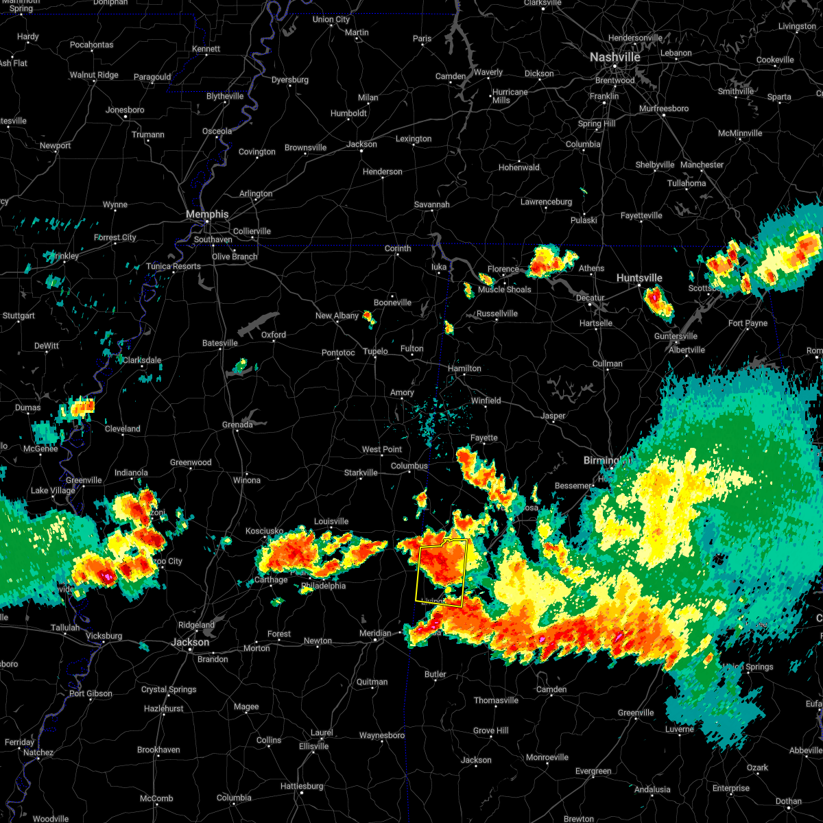 At 813 pm cdt, severe thunderstorms were located along a line extending from near cooksville to boligee, moving south at 35 mph (radar indicated). Hazards include 60 mph wind gusts and penny size hail. expect damage to roofs, siding, and trees At 813 pm cdt, severe thunderstorms were located along a line extending from near cooksville to boligee, moving south at 35 mph (radar indicated). Hazards include 60 mph wind gusts and penny size hail. expect damage to roofs, siding, and trees
|
| 7/21/2022 8:03 PM CDT |
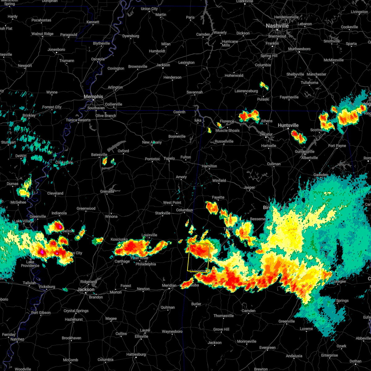 At 803 pm cdt, severe thunderstorms were located along a line extending from near allison to near cooksville, moving south at 30 mph (radar indicated). Hazards include 60 mph wind gusts and quarter size hail. Hail damage to vehicles is expected. expect wind damage to roofs, siding, and trees. locations impacted include, livingston, boligee, gainesville, epes, emelle, new west greene, panola, west greene, geiger, warsaw, new mount hebron, sumterville, clinton and pleasant ridge. hail threat, radar indicated max hail size, 1. 00 in wind threat, radar indicated max wind gust, 60 mph. At 803 pm cdt, severe thunderstorms were located along a line extending from near allison to near cooksville, moving south at 30 mph (radar indicated). Hazards include 60 mph wind gusts and quarter size hail. Hail damage to vehicles is expected. expect wind damage to roofs, siding, and trees. locations impacted include, livingston, boligee, gainesville, epes, emelle, new west greene, panola, west greene, geiger, warsaw, new mount hebron, sumterville, clinton and pleasant ridge. hail threat, radar indicated max hail size, 1. 00 in wind threat, radar indicated max wind gust, 60 mph.
|
| 7/21/2022 7:55 PM CDT |
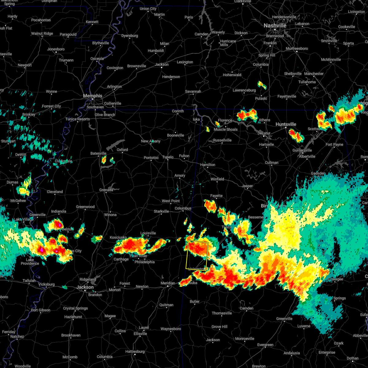 At 755 pm cdt, severe thunderstorms were located along a line extending from near allison to cooksville, moving south at 25 mph (radar indicated). Hazards include 60 mph wind gusts and quarter size hail. Hail damage to vehicles is expected. expect wind damage to roofs, siding, and trees. locations impacted include, livingston, boligee, gainesville, epes, emelle, new west greene, panola, west greene, geiger, warsaw, new mount hebron, sumterville, clinton and pleasant ridge. hail threat, radar indicated max hail size, 1. 00 in wind threat, radar indicated max wind gust, 60 mph. At 755 pm cdt, severe thunderstorms were located along a line extending from near allison to cooksville, moving south at 25 mph (radar indicated). Hazards include 60 mph wind gusts and quarter size hail. Hail damage to vehicles is expected. expect wind damage to roofs, siding, and trees. locations impacted include, livingston, boligee, gainesville, epes, emelle, new west greene, panola, west greene, geiger, warsaw, new mount hebron, sumterville, clinton and pleasant ridge. hail threat, radar indicated max hail size, 1. 00 in wind threat, radar indicated max wind gust, 60 mph.
|
| 7/21/2022 7:32 PM CDT |
 At 732 pm cdt, a severe thunderstorm was located near new west greene, or 9 miles south of aliceville, moving south at 30 mph (radar indicated). Hazards include 60 mph wind gusts and quarter size hail. Hail damage to vehicles is expected. Expect wind damage to roofs, siding, and trees. At 732 pm cdt, a severe thunderstorm was located near new west greene, or 9 miles south of aliceville, moving south at 30 mph (radar indicated). Hazards include 60 mph wind gusts and quarter size hail. Hail damage to vehicles is expected. Expect wind damage to roofs, siding, and trees.
|
| 4/13/2022 9:05 PM CDT |
 At 905 pm cdt, severe thunderstorms were located along a line extending from near deerbrook to near prairie point to near panola to kewanee, moving east at 55 mph (radar indicated). Hazards include 70 mph wind gusts and penny size hail. Expect considerable tree damage. damage is likely to mobile homes, roofs, and outbuildings. Locations impacted include, demopolis, livingston, eutaw, york, aliceville, gordo, reform, carrollton, pickensville, cuba, forkland, boligee, union, gainesville, epes, ethelsville, emelle, mcmullen, panola and west greene. At 905 pm cdt, severe thunderstorms were located along a line extending from near deerbrook to near prairie point to near panola to kewanee, moving east at 55 mph (radar indicated). Hazards include 70 mph wind gusts and penny size hail. Expect considerable tree damage. damage is likely to mobile homes, roofs, and outbuildings. Locations impacted include, demopolis, livingston, eutaw, york, aliceville, gordo, reform, carrollton, pickensville, cuba, forkland, boligee, union, gainesville, epes, ethelsville, emelle, mcmullen, panola and west greene.
|
| 4/13/2022 8:46 PM CDT |
 At 845 pm cdt, severe thunderstorms were located along a line extending from 6 miles south of oktoc to near macon to 8 miles northeast of de kalb to meridian, moving east at 70 mph (radar indicated). Hazards include 60 mph wind gusts and penny size hail. expect damage to roofs, siding, and trees At 845 pm cdt, severe thunderstorms were located along a line extending from 6 miles south of oktoc to near macon to 8 miles northeast of de kalb to meridian, moving east at 70 mph (radar indicated). Hazards include 60 mph wind gusts and penny size hail. expect damage to roofs, siding, and trees
|
|
|
| 4/6/2022 5:48 PM CDT |
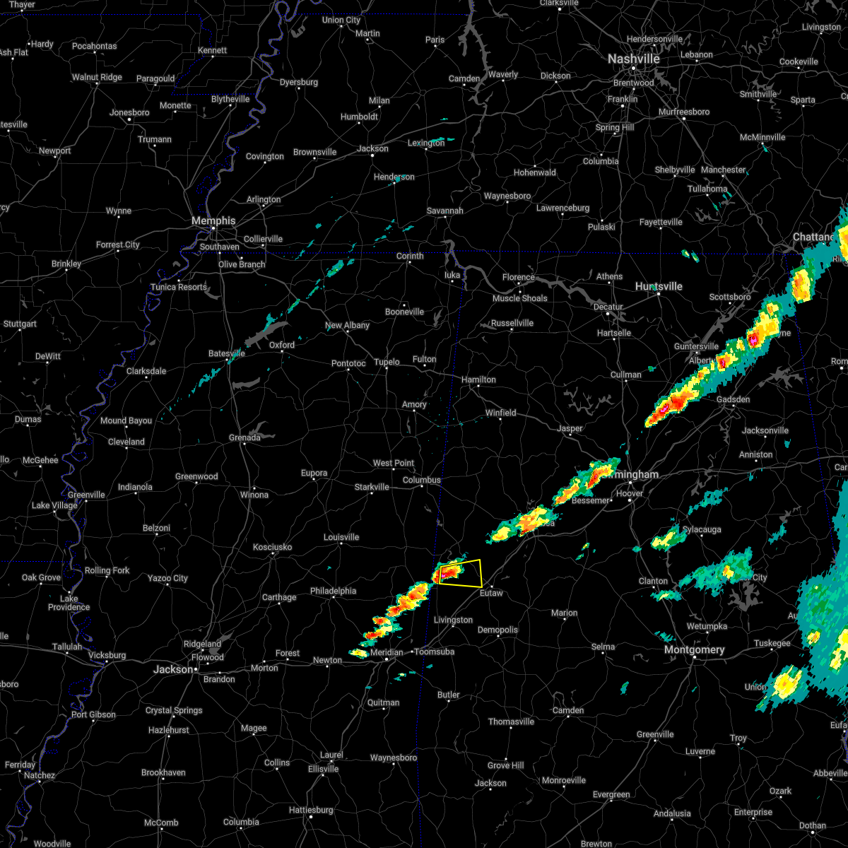 At 548 pm cdt, a severe thunderstorm was located near new west greene, or 15 miles south of aliceville, moving east at 35 mph (radar indicated). Hazards include 60 mph wind gusts and quarter size hail. Hail damage to vehicles is expected. expect wind damage to roofs, siding, and trees. locations impacted include, panola, west greene, new west greene, warsaw, clinton and new mount hebron. hail threat, radar indicated max hail size, 1. 00 in wind threat, radar indicated max wind gust, 60 mph. At 548 pm cdt, a severe thunderstorm was located near new west greene, or 15 miles south of aliceville, moving east at 35 mph (radar indicated). Hazards include 60 mph wind gusts and quarter size hail. Hail damage to vehicles is expected. expect wind damage to roofs, siding, and trees. locations impacted include, panola, west greene, new west greene, warsaw, clinton and new mount hebron. hail threat, radar indicated max hail size, 1. 00 in wind threat, radar indicated max wind gust, 60 mph.
|
| 4/6/2022 5:39 PM CDT |
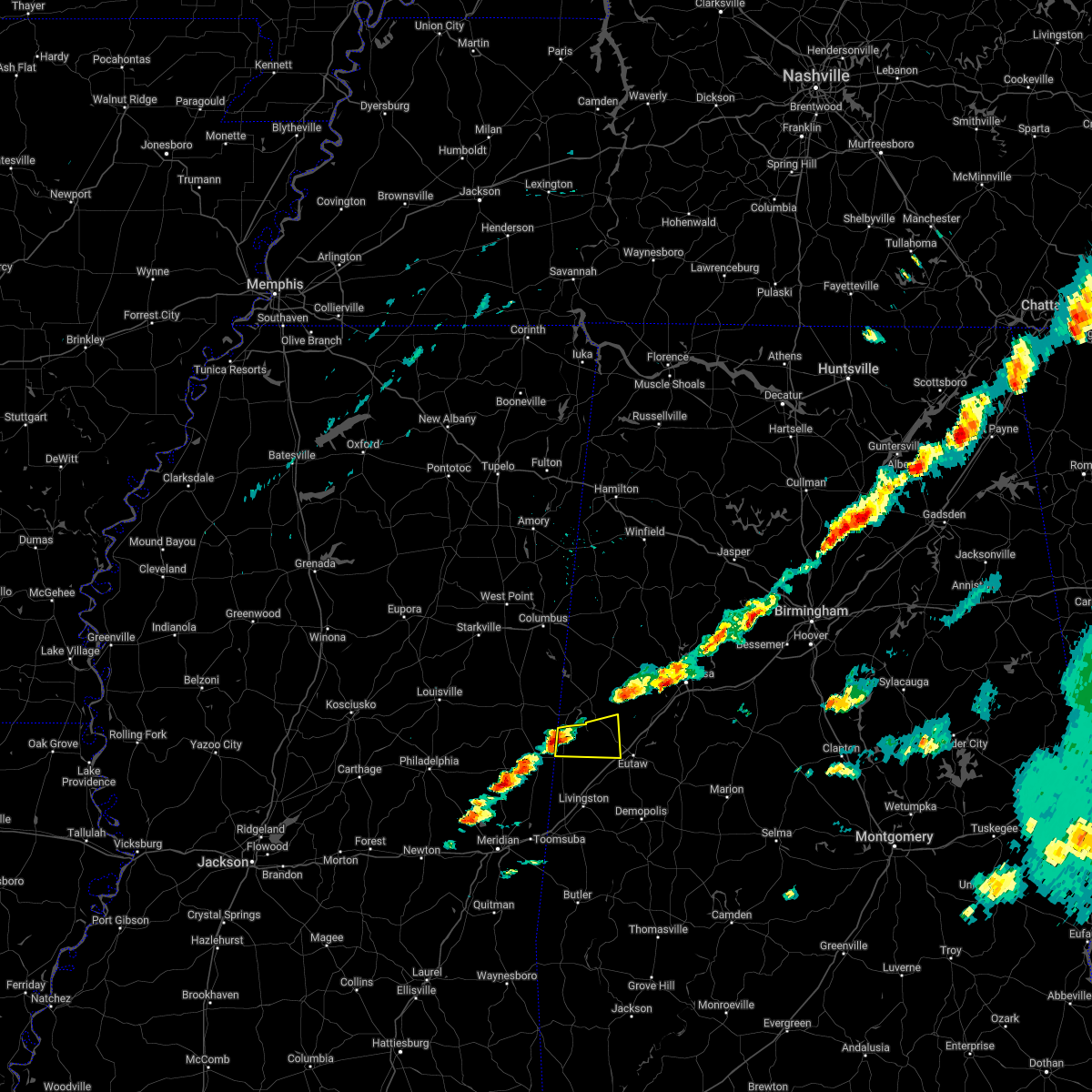 At 539 pm cdt, a severe thunderstorm was located near panola, or 17 miles southwest of aliceville, moving east at 35 mph (radar indicated). Hazards include 60 mph wind gusts and quarter size hail. Hail damage to vehicles is expected. Expect wind damage to roofs, siding, and trees. At 539 pm cdt, a severe thunderstorm was located near panola, or 17 miles southwest of aliceville, moving east at 35 mph (radar indicated). Hazards include 60 mph wind gusts and quarter size hail. Hail damage to vehicles is expected. Expect wind damage to roofs, siding, and trees.
|
| 3/30/2022 8:44 PM CDT |
 At 844 pm cdt, a severe thunderstorm capable of producing a tornado was located over aliceville, moving northeast at 45 mph (radar indicated rotation). Hazards include tornado. Flying debris will be dangerous to those caught without shelter. mobile homes will be damaged or destroyed. damage to roofs, windows, and vehicles will occur. tree damage is likely. Locations impacted include, aliceville, gordo, carrollton, mcmullen, garden, jena, benevola, johnston lake, gainesville lake campground, warsaw, dillburg, george downer airport, kirk, pleasant ridge, pioneer, cochrane and lewiston. At 844 pm cdt, a severe thunderstorm capable of producing a tornado was located over aliceville, moving northeast at 45 mph (radar indicated rotation). Hazards include tornado. Flying debris will be dangerous to those caught without shelter. mobile homes will be damaged or destroyed. damage to roofs, windows, and vehicles will occur. tree damage is likely. Locations impacted include, aliceville, gordo, carrollton, mcmullen, garden, jena, benevola, johnston lake, gainesville lake campground, warsaw, dillburg, george downer airport, kirk, pleasant ridge, pioneer, cochrane and lewiston.
|
| 3/30/2022 8:34 PM CDT |
 At 833 pm cdt, a severe thunderstorm capable of producing a tornado was located near panola, or 10 miles south of aliceville, moving northeast at 45 mph (radar indicated rotation). Hazards include tornado. Flying debris will be dangerous to those caught without shelter. mobile homes will be damaged or destroyed. damage to roofs, windows, and vehicles will occur. tree damage is likely. Locations impacted include, aliceville, gordo, carrollton, mcmullen, garden, new west greene, panola, jena, benevola, johnston lake, gainesville lake campground, warsaw, dillburg, george downer airport, kirk, pleasant ridge, pioneer, cochrane and lewiston. At 833 pm cdt, a severe thunderstorm capable of producing a tornado was located near panola, or 10 miles south of aliceville, moving northeast at 45 mph (radar indicated rotation). Hazards include tornado. Flying debris will be dangerous to those caught without shelter. mobile homes will be damaged or destroyed. damage to roofs, windows, and vehicles will occur. tree damage is likely. Locations impacted include, aliceville, gordo, carrollton, mcmullen, garden, new west greene, panola, jena, benevola, johnston lake, gainesville lake campground, warsaw, dillburg, george downer airport, kirk, pleasant ridge, pioneer, cochrane and lewiston.
|
| 3/30/2022 8:25 PM CDT |
 At 824 pm cdt, severe thunderstorms were located along a line extending from ethelsville to snell, moving northeast at 55 mph (radar indicated). Hazards include 60 mph wind gusts. Expect damage to roofs, siding, and trees. locations impacted include, demopolis, livingston, eutaw, york, aliceville, gordo, reform, carrollton, pickensville, cuba, forkland, boligee, union, gainesville, epes, ethelsville, emelle, mcmullen, panola and west greene. hail threat, radar indicated max hail size, <. 75 in wind threat, radar indicated max wind gust, 60 mph. At 824 pm cdt, severe thunderstorms were located along a line extending from ethelsville to snell, moving northeast at 55 mph (radar indicated). Hazards include 60 mph wind gusts. Expect damage to roofs, siding, and trees. locations impacted include, demopolis, livingston, eutaw, york, aliceville, gordo, reform, carrollton, pickensville, cuba, forkland, boligee, union, gainesville, epes, ethelsville, emelle, mcmullen, panola and west greene. hail threat, radar indicated max hail size, <. 75 in wind threat, radar indicated max wind gust, 60 mph.
|
| 3/30/2022 8:17 PM CDT |
 At 817 pm cdt, a severe thunderstorm capable of producing a tornado was located 7 miles north of emelle, or 18 miles northwest of livingston, moving northeast at 55 mph (radar indicated rotation). Hazards include tornado. Flying debris will be dangerous to those caught without shelter. mobile homes will be damaged or destroyed. damage to roofs, windows, and vehicles will occur. Tree damage is likely. At 817 pm cdt, a severe thunderstorm capable of producing a tornado was located 7 miles north of emelle, or 18 miles northwest of livingston, moving northeast at 55 mph (radar indicated rotation). Hazards include tornado. Flying debris will be dangerous to those caught without shelter. mobile homes will be damaged or destroyed. damage to roofs, windows, and vehicles will occur. Tree damage is likely.
|
| 3/30/2022 8:00 PM CDT |
 At 800 pm cdt, severe thunderstorms were located along a line extending from near deerbrook to near stonewall, moving northeast at 55 mph (radar indicated). Hazards include 60 mph wind gusts. expect damage to roofs, siding, and trees At 800 pm cdt, severe thunderstorms were located along a line extending from near deerbrook to near stonewall, moving northeast at 55 mph (radar indicated). Hazards include 60 mph wind gusts. expect damage to roofs, siding, and trees
|
| 3/22/2022 4:29 PM CDT |
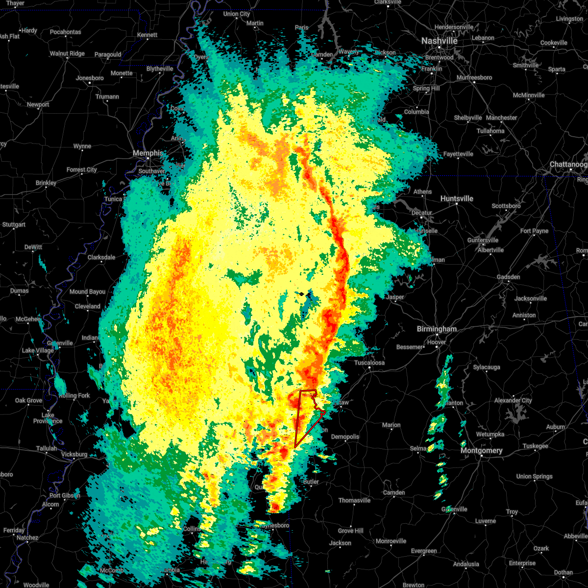 At 429 pm cdt, a severe thunderstorm capable of producing a tornado was located near emelle, or 11 miles northwest of livingston, moving northeast at 45 mph (radar indicated rotation). Hazards include tornado. Flying debris will be dangerous to those caught without shelter. mobile homes will be damaged or destroyed. damage to roofs, windows, and vehicles will occur. tree damage is likely. Locations impacted include, gainesville, emelle, boyd, panola, geiger, warsaw, payneville and sumterville. At 429 pm cdt, a severe thunderstorm capable of producing a tornado was located near emelle, or 11 miles northwest of livingston, moving northeast at 45 mph (radar indicated rotation). Hazards include tornado. Flying debris will be dangerous to those caught without shelter. mobile homes will be damaged or destroyed. damage to roofs, windows, and vehicles will occur. tree damage is likely. Locations impacted include, gainesville, emelle, boyd, panola, geiger, warsaw, payneville and sumterville.
|
| 3/22/2022 4:15 PM CDT |
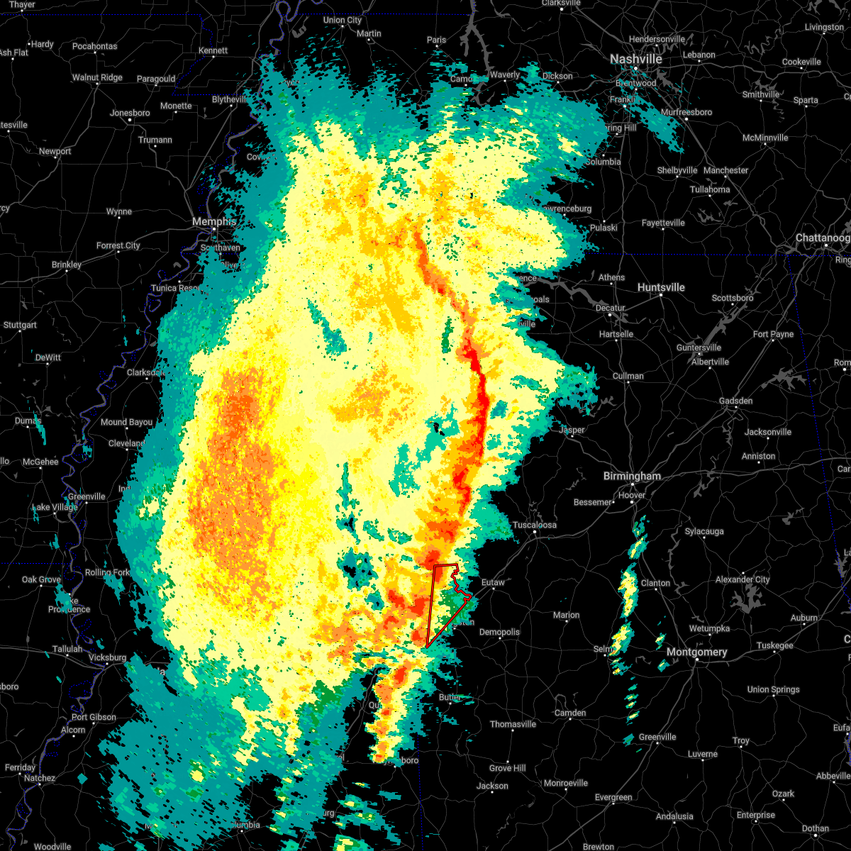 At 415 pm cdt, a severe thunderstorm capable of producing a tornado was located near tamola, or near lauderdale, moving northeast at 45 mph (radar indicated rotation). Hazards include tornado. Flying debris will be dangerous to those caught without shelter. mobile homes will be damaged or destroyed. damage to roofs, windows, and vehicles will occur. Tree damage is likely. At 415 pm cdt, a severe thunderstorm capable of producing a tornado was located near tamola, or near lauderdale, moving northeast at 45 mph (radar indicated rotation). Hazards include tornado. Flying debris will be dangerous to those caught without shelter. mobile homes will be damaged or destroyed. damage to roofs, windows, and vehicles will occur. Tree damage is likely.
|
| 12/29/2021 7:27 PM CST |
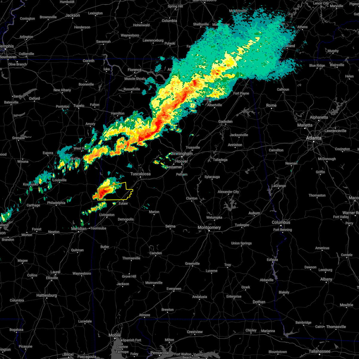 At 727 pm cst, a severe thunderstorm was located over panola, or 15 miles south of aliceville, moving east at 40 mph (radar indicated). Hazards include 60 mph wind gusts and penny size hail. Expect damage to roofs, siding, and trees. locations impacted include, union, new west greene, mantua, panola, west greene, knoxville, geiger, snoddy, warsaw, new mount hebron, clinton, pleasant ridge and lewiston. hail threat, radar indicated max hail size, 0. 75 in wind threat, radar indicated max wind gust, 60 mph. At 727 pm cst, a severe thunderstorm was located over panola, or 15 miles south of aliceville, moving east at 40 mph (radar indicated). Hazards include 60 mph wind gusts and penny size hail. Expect damage to roofs, siding, and trees. locations impacted include, union, new west greene, mantua, panola, west greene, knoxville, geiger, snoddy, warsaw, new mount hebron, clinton, pleasant ridge and lewiston. hail threat, radar indicated max hail size, 0. 75 in wind threat, radar indicated max wind gust, 60 mph.
|
| 12/29/2021 7:17 PM CST |
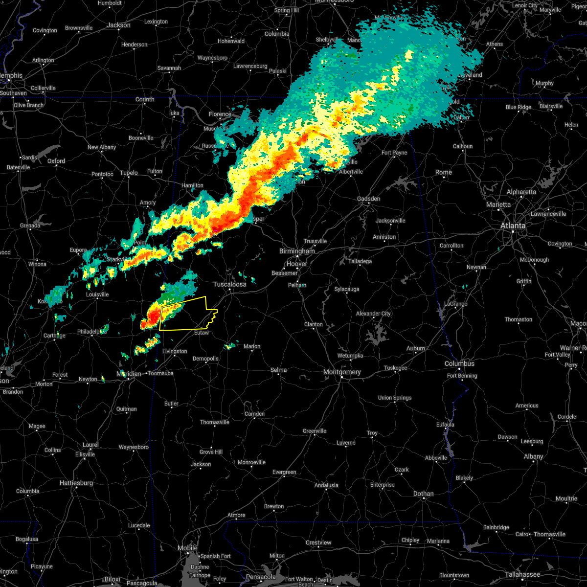 At 717 pm cst, a severe thunderstorm was located near cooksville, or 19 miles southwest of aliceville, moving east at 45 mph (radar indicated). Hazards include 60 mph wind gusts and penny size hail. expect damage to roofs, siding, and trees At 717 pm cst, a severe thunderstorm was located near cooksville, or 19 miles southwest of aliceville, moving east at 45 mph (radar indicated). Hazards include 60 mph wind gusts and penny size hail. expect damage to roofs, siding, and trees
|
| 5/4/2021 4:06 PM CDT |
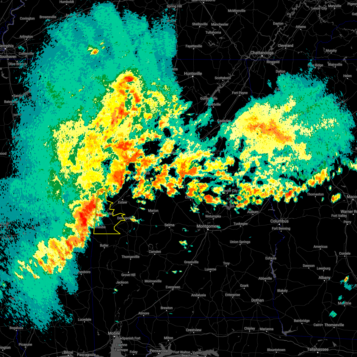 At 405 pm cdt, severe thunderstorms were located along a line extending from near electric mills to near alamucha, moving east at 60 mph. this line of severe storms will cross into alabama shortly (radar indicated). Hazards include 70 mph wind gusts. a wind gust to 63 mph was recently measured at the meridian airport. Expect considerable tree damage. damage is likely to mobile homes, roofs, and outbuildings. Locations impacted include, livingston, york, cuba, gainesville, epes, emelle, panola, the university of west alabama, dug hill, boyd, bluffport, coatopa, kinterbish, geiger, old mallard airport, belmont, demopolis lock and dam, sumterville, mcdowell and bellamy. At 405 pm cdt, severe thunderstorms were located along a line extending from near electric mills to near alamucha, moving east at 60 mph. this line of severe storms will cross into alabama shortly (radar indicated). Hazards include 70 mph wind gusts. a wind gust to 63 mph was recently measured at the meridian airport. Expect considerable tree damage. damage is likely to mobile homes, roofs, and outbuildings. Locations impacted include, livingston, york, cuba, gainesville, epes, emelle, panola, the university of west alabama, dug hill, boyd, bluffport, coatopa, kinterbish, geiger, old mallard airport, belmont, demopolis lock and dam, sumterville, mcdowell and bellamy.
|
| 5/4/2021 3:50 PM CDT |
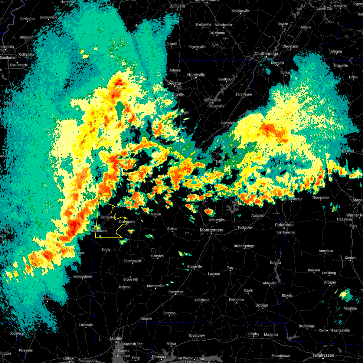 At 349 pm cdt, severe thunderstorms were located along a line extending from near bluff springs to near nellieburg, moving east at 60 mph (radar indicated). Hazards include 70 mph wind gusts. Expect considerable tree damage. Damage is likely to mobile homes, roofs, and outbuildings. At 349 pm cdt, severe thunderstorms were located along a line extending from near bluff springs to near nellieburg, moving east at 60 mph (radar indicated). Hazards include 70 mph wind gusts. Expect considerable tree damage. Damage is likely to mobile homes, roofs, and outbuildings.
|
| 3/17/2021 8:17 PM CDT |
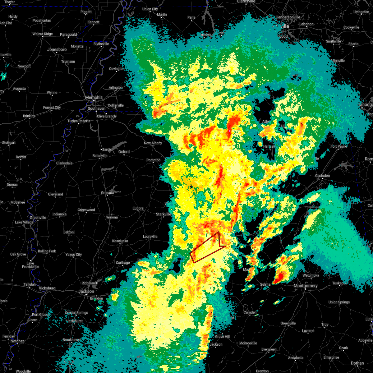 At 817 pm cdt, a severe thunderstorm capable of producing a tornado was located near gainesville, or 17 miles south of aliceville, moving northeast at 55 mph (radar indicated rotation). Hazards include tornado. Flying debris will be dangerous to those caught without shelter. mobile homes will be damaged or destroyed. damage to roofs, windows, and vehicles will occur. tree damage is likely. Locations impacted include, union, gainesville, new west greene, mantua, panola, jena, west greene, knoxville, benevola, geiger, snoddy, warsaw, new mount hebron, clinton, pleasant ridge, pioneer and lewiston. At 817 pm cdt, a severe thunderstorm capable of producing a tornado was located near gainesville, or 17 miles south of aliceville, moving northeast at 55 mph (radar indicated rotation). Hazards include tornado. Flying debris will be dangerous to those caught without shelter. mobile homes will be damaged or destroyed. damage to roofs, windows, and vehicles will occur. tree damage is likely. Locations impacted include, union, gainesville, new west greene, mantua, panola, jena, west greene, knoxville, benevola, geiger, snoddy, warsaw, new mount hebron, clinton, pleasant ridge, pioneer and lewiston.
|
| 3/17/2021 8:01 PM CDT |
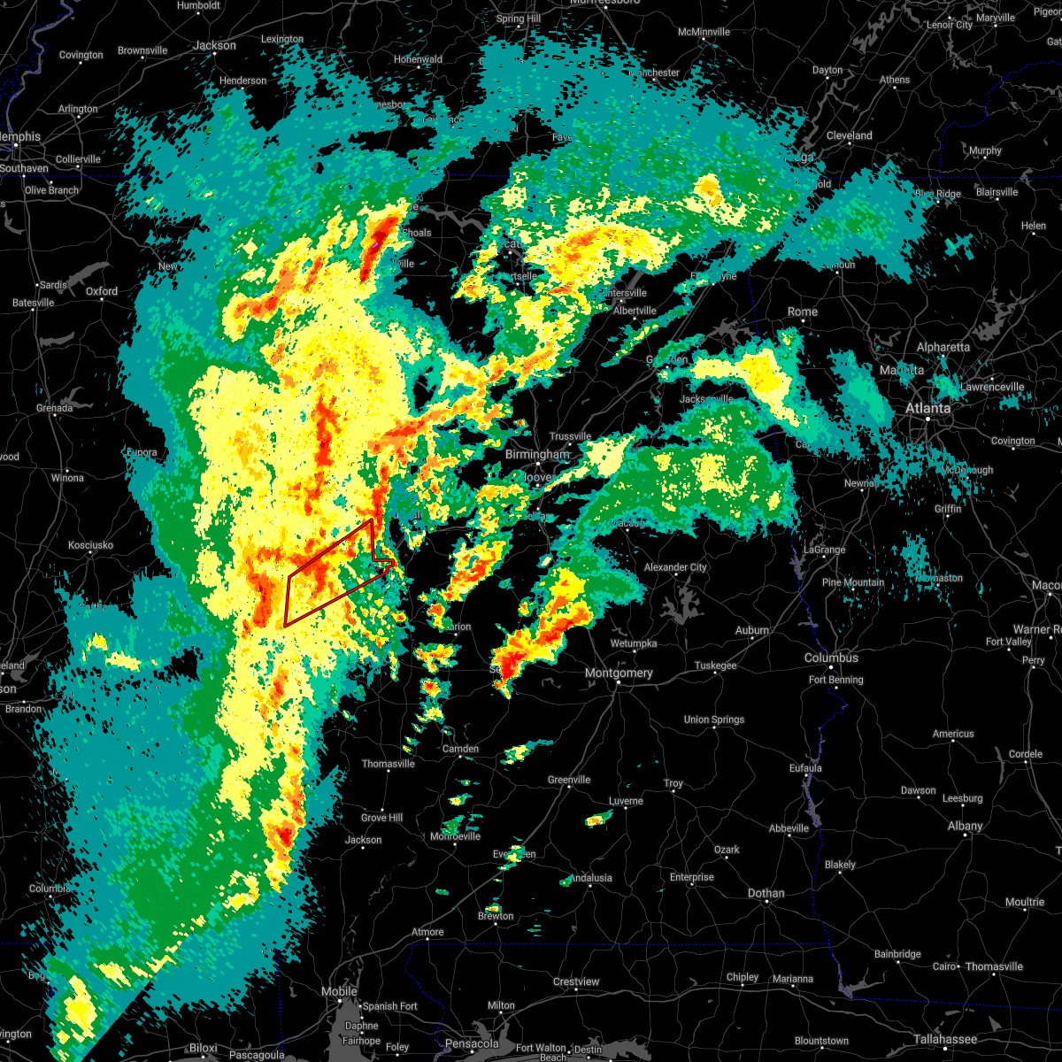 At 801 pm cdt, a severe thunderstorm capable of producing a tornado was located over electric mills, or 17 miles north of lauderdale, moving northeast at 60 mph (radar indicated rotation). Hazards include tornado. Flying debris will be dangerous to those caught without shelter. mobile homes will be damaged or destroyed. damage to roofs, windows, and vehicles will occur. Tree damage is likely. At 801 pm cdt, a severe thunderstorm capable of producing a tornado was located over electric mills, or 17 miles north of lauderdale, moving northeast at 60 mph (radar indicated rotation). Hazards include tornado. Flying debris will be dangerous to those caught without shelter. mobile homes will be damaged or destroyed. damage to roofs, windows, and vehicles will occur. Tree damage is likely.
|
| 6/25/2020 7:54 PM CDT |
 The severe thunderstorm warning for sumter county will expire at 800 pm cdt, the storms which prompted the warning have weakened below severe limits, and no longer pose an immediate threat to life or property. therefore, the warning will be allowed to expire. however gusty winds are still possible with these thunderstorms. The severe thunderstorm warning for sumter county will expire at 800 pm cdt, the storms which prompted the warning have weakened below severe limits, and no longer pose an immediate threat to life or property. therefore, the warning will be allowed to expire. however gusty winds are still possible with these thunderstorms.
|
| 6/25/2020 7:23 PM CDT |
 At 722 pm cdt, severe thunderstorms were located along a line extending from 7 miles northeast of de kalb to near pennington, moving northeast at 40 mph (radar indicated). Hazards include 60 mph wind gusts. a wind gust to 51 mph was measured at the meridian airport. this line of storms has a history of producing wind damage in mississippi. Expect damage to roofs, siding, and trees. Locations impacted include, livingston, york, cuba, gainesville, epes, emelle, panola, the university of west alabama, dug hill, boyd, bluffport, coatopa, kinterbish, geiger, old mallard airport, belmont, demopolis lock and dam, sumterville, mcdowell and bellamy. At 722 pm cdt, severe thunderstorms were located along a line extending from 7 miles northeast of de kalb to near pennington, moving northeast at 40 mph (radar indicated). Hazards include 60 mph wind gusts. a wind gust to 51 mph was measured at the meridian airport. this line of storms has a history of producing wind damage in mississippi. Expect damage to roofs, siding, and trees. Locations impacted include, livingston, york, cuba, gainesville, epes, emelle, panola, the university of west alabama, dug hill, boyd, bluffport, coatopa, kinterbish, geiger, old mallard airport, belmont, demopolis lock and dam, sumterville, mcdowell and bellamy.
|
| 6/25/2020 7:03 PM CDT |
 At 702 pm cdt, severe thunderstorms were located along a line extending from bluff springs to near lisman, moving northeast at 40 mph (radar indicated). Hazards include 60 mph wind gusts. a wind gust to 51 mph was reported at the meridian airport. this line of storms has a history of producing wind damage in mississippi. Expect damage to roofs, siding, and trees. Locations impacted include, livingston, york, cuba, gainesville, epes, emelle, panola, the university of west alabama, dug hill, boyd, bluffport, coatopa, kinterbish, geiger, old mallard airport, belmont, demopolis lock and dam, sumterville, mcdowell and bellamy. At 702 pm cdt, severe thunderstorms were located along a line extending from bluff springs to near lisman, moving northeast at 40 mph (radar indicated). Hazards include 60 mph wind gusts. a wind gust to 51 mph was reported at the meridian airport. this line of storms has a history of producing wind damage in mississippi. Expect damage to roofs, siding, and trees. Locations impacted include, livingston, york, cuba, gainesville, epes, emelle, panola, the university of west alabama, dug hill, boyd, bluffport, coatopa, kinterbish, geiger, old mallard airport, belmont, demopolis lock and dam, sumterville, mcdowell and bellamy.
|
| 6/25/2020 6:49 PM CDT |
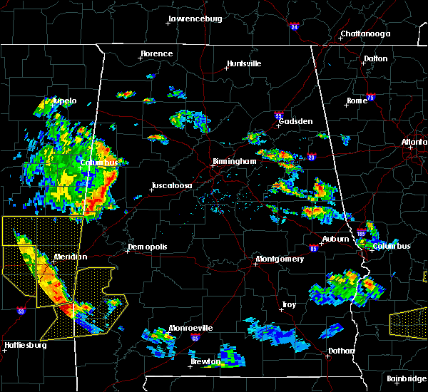 At 648 pm cdt, severe thunderstorms were located along a line extending from near forestdale to 7 miles northeast of crandall, moving northeast at 40 mph (radar indicated). Hazards include 60 mph wind gusts. this line of storms has a history of producing wind damage in mississippi. expect damage to roofs, siding, and trees At 648 pm cdt, severe thunderstorms were located along a line extending from near forestdale to 7 miles northeast of crandall, moving northeast at 40 mph (radar indicated). Hazards include 60 mph wind gusts. this line of storms has a history of producing wind damage in mississippi. expect damage to roofs, siding, and trees
|
| 5/23/2020 5:32 PM CDT |
 At 531 pm cdt, a severe thunderstorm was located near cooksville, or 12 miles southwest of aliceville, moving northeast at 20 mph (radar indicated). Hazards include 60 mph wind gusts and nickel size hail. expect damage to roofs, siding, and trees At 531 pm cdt, a severe thunderstorm was located near cooksville, or 12 miles southwest of aliceville, moving northeast at 20 mph (radar indicated). Hazards include 60 mph wind gusts and nickel size hail. expect damage to roofs, siding, and trees
|
| 4/9/2020 5:35 AM CDT |
 At 534 am cdt, severe thunderstorms were located along a line extending from 6 miles west of samantha to near benevola to near panola, moving southeast at 55 mph (radar indicated). Hazards include 60 mph wind gusts and quarter size hail. Hail damage to vehicles is expected. Expect wind damage to roofs, siding, and trees. At 534 am cdt, severe thunderstorms were located along a line extending from 6 miles west of samantha to near benevola to near panola, moving southeast at 55 mph (radar indicated). Hazards include 60 mph wind gusts and quarter size hail. Hail damage to vehicles is expected. Expect wind damage to roofs, siding, and trees.
|
| 1/11/2020 11:13 AM CST |
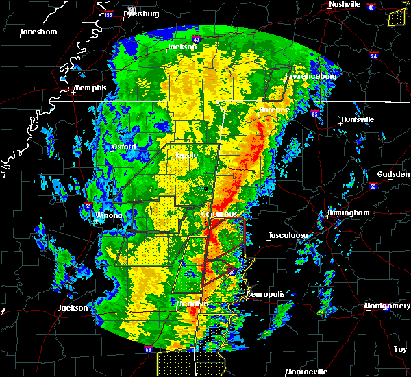 At 1113 am cst, a severe thunderstorm capable of producing a tornado was located near new west greene, or 16 miles south of aliceville, moving northeast at 60 mph (radar indicated rotation). Hazards include tornado. Flying debris will be dangerous to those caught without shelter. mobile homes will be damaged or destroyed. damage to roofs, windows, and vehicles will occur. tree damage is likely. Locations impacted include, gainesville, new west greene, panola, west greene, geiger, warsaw and new mount hebron. At 1113 am cst, a severe thunderstorm capable of producing a tornado was located near new west greene, or 16 miles south of aliceville, moving northeast at 60 mph (radar indicated rotation). Hazards include tornado. Flying debris will be dangerous to those caught without shelter. mobile homes will be damaged or destroyed. damage to roofs, windows, and vehicles will occur. tree damage is likely. Locations impacted include, gainesville, new west greene, panola, west greene, geiger, warsaw and new mount hebron.
|
| 1/11/2020 11:08 AM CST |
 At 1108 am cst, severe thunderstorms were located along a line extending from 6 miles northwest of carrollton to near west greene to 7 miles east of kinterbish, moving northeast at 55 mph (radar indicated). Hazards include 60 mph wind gusts. Expect damage to roofs, siding, and trees. Locations impacted include, demopolis, livingston, eutaw, york, aliceville, gordo, reform, carrollton, pickensville, cuba, forkland, boligee, union, gainesville, epes, ethelsville, emelle, mcmullen, panola and west greene. At 1108 am cst, severe thunderstorms were located along a line extending from 6 miles northwest of carrollton to near west greene to 7 miles east of kinterbish, moving northeast at 55 mph (radar indicated). Hazards include 60 mph wind gusts. Expect damage to roofs, siding, and trees. Locations impacted include, demopolis, livingston, eutaw, york, aliceville, gordo, reform, carrollton, pickensville, cuba, forkland, boligee, union, gainesville, epes, ethelsville, emelle, mcmullen, panola and west greene.
|
| 1/11/2020 11:00 AM CST |
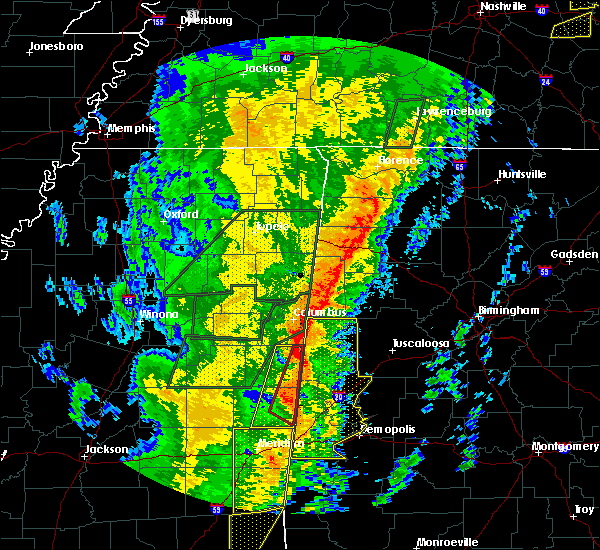 At 1100 am cst, a severe thunderstorm capable of producing a tornado was located near emelle, or 15 miles northwest of livingston, moving northeast at 60 mph (radar indicated rotation). Hazards include tornado. Flying debris will be dangerous to those caught without shelter. mobile homes will be damaged or destroyed. damage to roofs, windows, and vehicles will occur. Tree damage is likely. At 1100 am cst, a severe thunderstorm capable of producing a tornado was located near emelle, or 15 miles northwest of livingston, moving northeast at 60 mph (radar indicated rotation). Hazards include tornado. Flying debris will be dangerous to those caught without shelter. mobile homes will be damaged or destroyed. damage to roofs, windows, and vehicles will occur. Tree damage is likely.
|
| 1/11/2020 10:36 AM CST |
 At 1035 am cst, severe thunderstorms were located along a line extending from near macon to near electric mills to middleton, moving northeast at 55 mph (radar indicated). Hazards include 60 mph wind gusts. expect damage to roofs, siding, and trees At 1035 am cst, severe thunderstorms were located along a line extending from near macon to near electric mills to middleton, moving northeast at 55 mph (radar indicated). Hazards include 60 mph wind gusts. expect damage to roofs, siding, and trees
|
|
|
| 6/27/2019 2:36 PM CDT |
A tree was blown down onto a transformer and produced a fire. winds estimated at 35 to 45 mp in sumter county AL, 0.3 miles SSE of Panola, AL
|
| 6/20/2019 2:22 AM CDT |
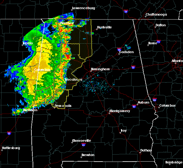 The severe thunderstorm warning for greene and northwestern sumter counties will expire at 230 am cdt, the storms which prompted the warning have moved out of the area. therefore, the warning will be allowed to expire. however gusty winds are still possible with these thunderstorms. a severe thunderstorm watch remains in effect until 600 am cdt for west central alabama. to report severe weather, contact your nearest law enforcement agency. they will relay your report to the national weather service birmingham. The severe thunderstorm warning for greene and northwestern sumter counties will expire at 230 am cdt, the storms which prompted the warning have moved out of the area. therefore, the warning will be allowed to expire. however gusty winds are still possible with these thunderstorms. a severe thunderstorm watch remains in effect until 600 am cdt for west central alabama. to report severe weather, contact your nearest law enforcement agency. they will relay your report to the national weather service birmingham.
|
| 6/20/2019 1:57 AM CDT |
 At 157 am cdt, severe thunderstorms were located along a line extending from near mantua to near west greene to near tamola, moving east at 50 mph (radar indicated). Hazards include 60 mph wind gusts and penny size hail. Expect damage to roofs, siding, and trees. Locations impacted include, livingston, eutaw, boligee, union, gainesville, epes, emelle, panola, west greene, new west greene, boyd, mantua, allison, jena, knoxville, geiger, snoddy, new mount hebron, sumterville and eutaw municipal airport. At 157 am cdt, severe thunderstorms were located along a line extending from near mantua to near west greene to near tamola, moving east at 50 mph (radar indicated). Hazards include 60 mph wind gusts and penny size hail. Expect damage to roofs, siding, and trees. Locations impacted include, livingston, eutaw, boligee, union, gainesville, epes, emelle, panola, west greene, new west greene, boyd, mantua, allison, jena, knoxville, geiger, snoddy, new mount hebron, sumterville and eutaw municipal airport.
|
| 6/20/2019 1:24 AM CDT |
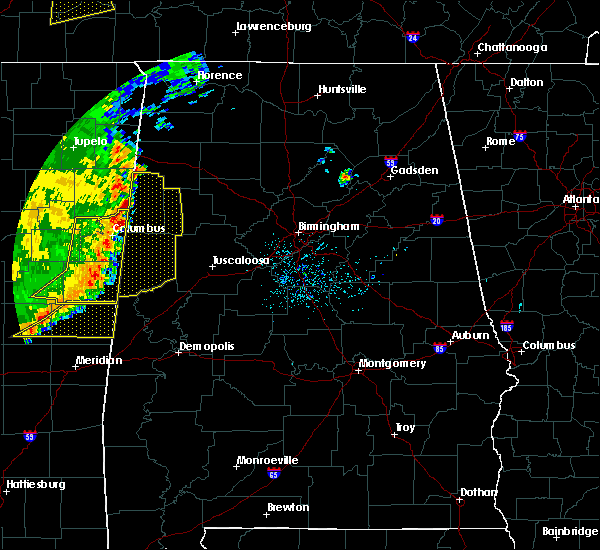 At 123 am cdt, severe thunderstorms were located along a line extending from near paulette to 8 miles northeast of de kalb to near house, moving east at 40 mph (radar indicated). Hazards include 60 mph wind gusts and penny size hail. expect damage to roofs, siding, and trees At 123 am cdt, severe thunderstorms were located along a line extending from near paulette to 8 miles northeast of de kalb to near house, moving east at 40 mph (radar indicated). Hazards include 60 mph wind gusts and penny size hail. expect damage to roofs, siding, and trees
|
| 4/18/2019 4:31 PM CDT |
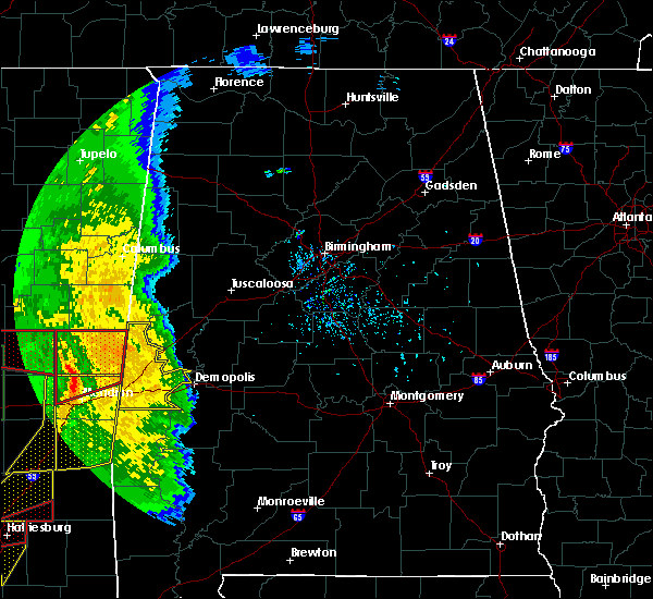 At 430 pm cdt, severe thunderstorms were located along a line extending from near liberty to near daleville to savoy, moving northeast at 55 mph (radar indicated). Hazards include 60 mph wind gusts. expect damage to roofs, siding, and trees At 430 pm cdt, severe thunderstorms were located along a line extending from near liberty to near daleville to savoy, moving northeast at 55 mph (radar indicated). Hazards include 60 mph wind gusts. expect damage to roofs, siding, and trees
|
| 4/13/2019 11:48 PM CDT |
 At 1147 pm cdt, a severe thunderstorm capable of producing a tornado was located near cooksville, or 15 miles southwest of aliceville, moving northeast at 50 mph (radar indicated rotation). Hazards include tornado. Flying debris will be dangerous to those caught without shelter. mobile homes will be damaged or destroyed. damage to roofs, windows, and vehicles will occur. tree damage is likely. Locations impacted include, aliceville, gordo, reform, carrollton, pickensville, ethelsville, mcmullen, panola, johnston lake, bevill lock and dam, garden, ashcraft corner, geiger, dillburg, shaw, george downer airport, kirk, gainesville lake campground, warsaw and north pickens airport. At 1147 pm cdt, a severe thunderstorm capable of producing a tornado was located near cooksville, or 15 miles southwest of aliceville, moving northeast at 50 mph (radar indicated rotation). Hazards include tornado. Flying debris will be dangerous to those caught without shelter. mobile homes will be damaged or destroyed. damage to roofs, windows, and vehicles will occur. tree damage is likely. Locations impacted include, aliceville, gordo, reform, carrollton, pickensville, ethelsville, mcmullen, panola, johnston lake, bevill lock and dam, garden, ashcraft corner, geiger, dillburg, shaw, george downer airport, kirk, gainesville lake campground, warsaw and north pickens airport.
|
| 4/13/2019 11:38 PM CDT |
 At 1138 pm cdt, a severe thunderstorm capable of producing a tornado was located near electric mills, or 21 miles northwest of livingston, moving northeast at 50 mph (radar indicated rotation). Hazards include tornado. Flying debris will be dangerous to those caught without shelter. mobile homes will be damaged or destroyed. damage to roofs, windows, and vehicles will occur. Tree damage is likely. At 1138 pm cdt, a severe thunderstorm capable of producing a tornado was located near electric mills, or 21 miles northwest of livingston, moving northeast at 50 mph (radar indicated rotation). Hazards include tornado. Flying debris will be dangerous to those caught without shelter. mobile homes will be damaged or destroyed. damage to roofs, windows, and vehicles will occur. Tree damage is likely.
|
| 4/6/2019 7:08 PM CDT |
 At 708 pm cdt, a severe thunderstorm was located near panola, or 9 miles south of aliceville, moving east at 35 mph (radar indicated). Hazards include 60 mph wind gusts and quarter size hail. Hail damage to vehicles is expected. Expect wind damage to roofs, siding, and trees. At 708 pm cdt, a severe thunderstorm was located near panola, or 9 miles south of aliceville, moving east at 35 mph (radar indicated). Hazards include 60 mph wind gusts and quarter size hail. Hail damage to vehicles is expected. Expect wind damage to roofs, siding, and trees.
|
| 6/28/2018 5:08 PM CDT |
 At 508 pm cdt, severe thunderstorms were located along a line extending from pickensville to near central mills, moving southwest at 25 mph (radar indicated). Hazards include 60 mph wind gusts. expect damage to roofs, siding, and trees At 508 pm cdt, severe thunderstorms were located along a line extending from pickensville to near central mills, moving southwest at 25 mph (radar indicated). Hazards include 60 mph wind gusts. expect damage to roofs, siding, and trees
|
| 4/14/2018 11:37 AM CDT |
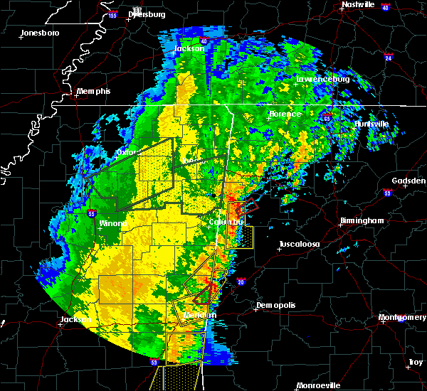 At 1137 am cdt, a severe thunderstorm was located near cooksville, or 18 miles southwest of aliceville, moving northeast at 50 mph (emergency management). Hazards include 60 mph wind gusts. Expect damage to roofs, siding, and trees. locations impacted include, emelle, panola, geiger and warsaw. A tornado watch remains in effect until 700 pm cdt for west central alabama. At 1137 am cdt, a severe thunderstorm was located near cooksville, or 18 miles southwest of aliceville, moving northeast at 50 mph (emergency management). Hazards include 60 mph wind gusts. Expect damage to roofs, siding, and trees. locations impacted include, emelle, panola, geiger and warsaw. A tornado watch remains in effect until 700 pm cdt for west central alabama.
|
| 4/14/2018 11:22 AM CDT |
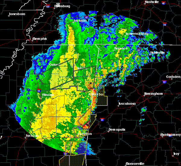 At 1121 am cdt, a severe thunderstorm was located over electric mills, or 14 miles north of lauderdale, moving northeast at 50 mph (emergency management). Hazards include 60 mph wind gusts. expect damage to roofs, siding, and trees At 1121 am cdt, a severe thunderstorm was located over electric mills, or 14 miles north of lauderdale, moving northeast at 50 mph (emergency management). Hazards include 60 mph wind gusts. expect damage to roofs, siding, and trees
|
| 4/30/2017 11:28 AM CDT |
 At 1127 am cdt, a severe thunderstorm capable of producing a tornado was located over cooksville, or 15 miles southwest of aliceville, moving northeast at 45 mph (radar indicated rotation). Hazards include tornado. Flying debris will be dangerous to those caught without shelter. mobile homes will be damaged or destroyed. damage to roofs, windows, and vehicles will occur. Tree damage is likely. At 1127 am cdt, a severe thunderstorm capable of producing a tornado was located over cooksville, or 15 miles southwest of aliceville, moving northeast at 45 mph (radar indicated rotation). Hazards include tornado. Flying debris will be dangerous to those caught without shelter. mobile homes will be damaged or destroyed. damage to roofs, windows, and vehicles will occur. Tree damage is likely.
|
| 4/30/2017 11:11 AM CDT |
 At 1110 am cdt, severe thunderstorms were located along a line extending from near crawford to 7 miles north of electric mills to near meridian, moving east at 60 mph (radar indicated). Hazards include 60 mph wind gusts. expect damage to roofs, siding, and trees At 1110 am cdt, severe thunderstorms were located along a line extending from near crawford to 7 miles north of electric mills to near meridian, moving east at 60 mph (radar indicated). Hazards include 60 mph wind gusts. expect damage to roofs, siding, and trees
|
| 4/27/2017 12:15 AM CDT |
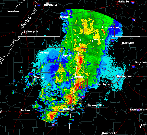 At 1215 am cdt, severe thunderstorms were located along a line extending from 6 miles southwest of cooksville to near emelle to near tamola, moving northeast at 65 mph (radar indicated). Hazards include 70 mph wind gusts and quarter size hail. Hail damage to vehicles is expected. expect considerable tree damage. wind damage is also likely to mobile homes, roofs, and outbuildings. Locations impacted include, livingston, gainesville, epes, emelle, boyd, panola, geiger, warsaw, payneville and sumterville. At 1215 am cdt, severe thunderstorms were located along a line extending from 6 miles southwest of cooksville to near emelle to near tamola, moving northeast at 65 mph (radar indicated). Hazards include 70 mph wind gusts and quarter size hail. Hail damage to vehicles is expected. expect considerable tree damage. wind damage is also likely to mobile homes, roofs, and outbuildings. Locations impacted include, livingston, gainesville, epes, emelle, boyd, panola, geiger, warsaw, payneville and sumterville.
|
| 4/27/2017 12:06 AM CDT |
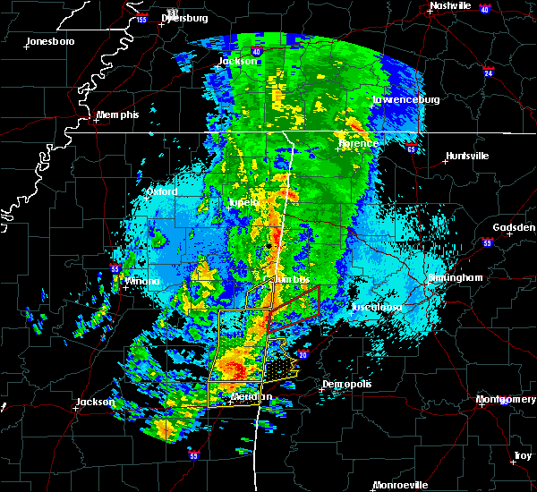 At 1206 am cdt, a severe thunderstorm was located over porterville, or 12 miles north of lauderdale, moving east at 60 mph (radar indicated). Hazards include 70 mph wind gusts and quarter size hail. Hail damage to vehicles is expected. expect considerable tree damage. Wind damage is also likely to mobile homes, roofs, and outbuildings. At 1206 am cdt, a severe thunderstorm was located over porterville, or 12 miles north of lauderdale, moving east at 60 mph (radar indicated). Hazards include 70 mph wind gusts and quarter size hail. Hail damage to vehicles is expected. expect considerable tree damage. Wind damage is also likely to mobile homes, roofs, and outbuildings.
|
| 3/7/2017 2:33 PM CST |
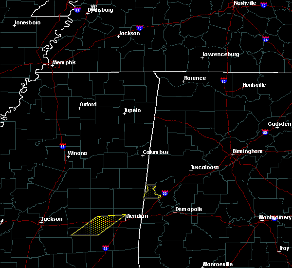 At 233 pm cst, severe thunderstorms were located along a line extending from 6 miles northeast of cooksville to near panola to near emelle, moving east at 40 mph (radar indicated). Hazards include 60 mph wind gusts. Expect damage to roofs, siding, and trees. Locations impacted include, gainesville, panola, geiger and warsaw. At 233 pm cst, severe thunderstorms were located along a line extending from 6 miles northeast of cooksville to near panola to near emelle, moving east at 40 mph (radar indicated). Hazards include 60 mph wind gusts. Expect damage to roofs, siding, and trees. Locations impacted include, gainesville, panola, geiger and warsaw.
|
| 3/7/2017 2:20 PM CST |
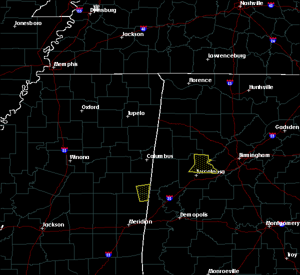 At 219 pm cst, severe thunderstorms were located along a line extending from near cooksville to near panola to near electric mills, moving east at 45 mph (radar indicated). Hazards include 60 mph wind gusts. expect damage to roofs, siding, and trees At 219 pm cst, severe thunderstorms were located along a line extending from near cooksville to near panola to near electric mills, moving east at 45 mph (radar indicated). Hazards include 60 mph wind gusts. expect damage to roofs, siding, and trees
|
| 7/9/2016 1:50 PM CDT |
 At 150 pm cdt, a severe thunderstorm was located near aliceville, moving east at 20 mph (radar indicated). Hazards include 60 mph wind gusts. Expect damage to roofs. siding. And trees. At 150 pm cdt, a severe thunderstorm was located near aliceville, moving east at 20 mph (radar indicated). Hazards include 60 mph wind gusts. Expect damage to roofs. siding. And trees.
|
| 6/17/2016 3:38 PM CDT |
 At 338 pm cdt, severe thunderstorms were located along a line extending from 9 miles east of gholson to near gainesville to near knoxville, moving south at 30 mph (radar indicated). Hazards include 60 mph wind gusts. Expect damage to roofs. siding. and trees. Locations impacted include, demopolis, livingston, eutaw, york, cuba, forkland, boligee, union, gainesville, epes, emelle, duffys bend, bluffport, thornhill, mantua, allison, knoxville, walden quarters, kinterbish and the university of west alabama. At 338 pm cdt, severe thunderstorms were located along a line extending from 9 miles east of gholson to near gainesville to near knoxville, moving south at 30 mph (radar indicated). Hazards include 60 mph wind gusts. Expect damage to roofs. siding. and trees. Locations impacted include, demopolis, livingston, eutaw, york, cuba, forkland, boligee, union, gainesville, epes, emelle, duffys bend, bluffport, thornhill, mantua, allison, knoxville, walden quarters, kinterbish and the university of west alabama.
|
| 6/17/2016 3:12 PM CDT |
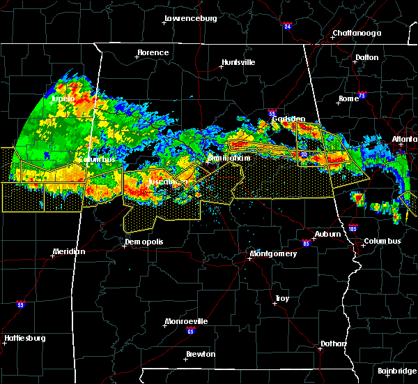 At 312 pm cdt, severe thunderstorms were located along a line extending from near macon to near panola to jena, moving south at 30 mph (radar indicated). Hazards include 60 mph wind gusts. Expect damage to roofs. siding. And trees. At 312 pm cdt, severe thunderstorms were located along a line extending from near macon to near panola to jena, moving south at 30 mph (radar indicated). Hazards include 60 mph wind gusts. Expect damage to roofs. siding. And trees.
|
| 3/31/2016 7:34 PM CDT |
 At 734 pm cdt, severe thunderstorms were located along a line extending from near electric mills to near tamola to near toomsuba, moving east at 55 mph (radar indicated). Hazards include 60 mph wind gusts. Expect damage to roofs. siding. And trees. At 734 pm cdt, severe thunderstorms were located along a line extending from near electric mills to near tamola to near toomsuba, moving east at 55 mph (radar indicated). Hazards include 60 mph wind gusts. Expect damage to roofs. siding. And trees.
|
| 2/23/2016 6:37 PM CST |
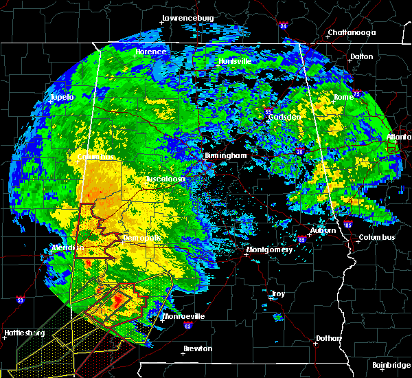 At 637 pm cst, severe thunderstorms capable of producing tornadoes were located along a line extending from tamola to near butler, moving northeast at 40 mph (radar indicated rotation). Hazards include tornado. Flying debris will be dangerous to those caught without shelter. mobile homes will be damaged or destroyed. damage to roofs, windows and vehicles will occur. tree damage is likely. locations impacted include, livingston, york, cuba, gainesville, epes, emelle, bluffport, panola, coatopa, kinterbish, the university of west alabama, dug hill, boyd, geiger, warsaw, payneville, ward, belmont, mcdowell and bellamy. This includes interstate 20 between mile markers 1 and 23. At 637 pm cst, severe thunderstorms capable of producing tornadoes were located along a line extending from tamola to near butler, moving northeast at 40 mph (radar indicated rotation). Hazards include tornado. Flying debris will be dangerous to those caught without shelter. mobile homes will be damaged or destroyed. damage to roofs, windows and vehicles will occur. tree damage is likely. locations impacted include, livingston, york, cuba, gainesville, epes, emelle, bluffport, panola, coatopa, kinterbish, the university of west alabama, dug hill, boyd, geiger, warsaw, payneville, ward, belmont, mcdowell and bellamy. This includes interstate 20 between mile markers 1 and 23.
|
| 2/23/2016 6:25 PM CST |
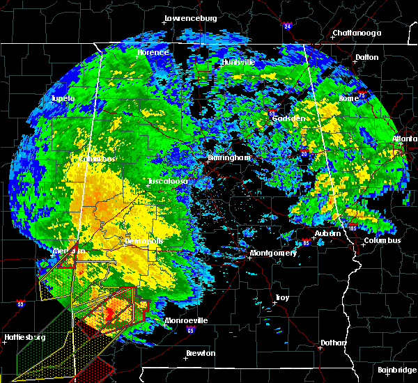 At 624 pm cst, a severe thunderstorm capable of producing a tornado was located 7 miles southwest of kinterbish, or 12 miles south of cuba, moving northeast at 55 mph (radar indicated rotation). Hazards include tornado. Flying debris will be dangerous to those caught without shelter. mobile homes will be damaged or destroyed. damage to roofs, windows and vehicles will occur. Tree damage is likely. At 624 pm cst, a severe thunderstorm capable of producing a tornado was located 7 miles southwest of kinterbish, or 12 miles south of cuba, moving northeast at 55 mph (radar indicated rotation). Hazards include tornado. Flying debris will be dangerous to those caught without shelter. mobile homes will be damaged or destroyed. damage to roofs, windows and vehicles will occur. Tree damage is likely.
|
| 2/2/2016 4:23 PM CST |
 At 422 pm cst, a tornado producing storm was located over cooksville, or 17 miles southwest of aliceville, moving northeast at 45 mph (radar confirmed tornado). Hazards include damaging tornado. Flying debris will be dangerous to those caught without shelter. mobile homes will be damaged or destroyed. damage to roofs, windows and vehicles will occur. tree damage is likely. this tornadic storm will be near, memphis around 440 pm cst. aliceville, mcmullen and garden around 445 pm cst. pickensville around 450 pm cst. carrollton around 500 pm cst. reform around 510 pm cst. gordo around 515 pm cst. Other locations impacted by this tornadic thunderstorm include gainesville lake campground, george downer airport, dillburg, cochrane, owens and mcshan. At 422 pm cst, a tornado producing storm was located over cooksville, or 17 miles southwest of aliceville, moving northeast at 45 mph (radar confirmed tornado). Hazards include damaging tornado. Flying debris will be dangerous to those caught without shelter. mobile homes will be damaged or destroyed. damage to roofs, windows and vehicles will occur. tree damage is likely. this tornadic storm will be near, memphis around 440 pm cst. aliceville, mcmullen and garden around 445 pm cst. pickensville around 450 pm cst. carrollton around 500 pm cst. reform around 510 pm cst. gordo around 515 pm cst. Other locations impacted by this tornadic thunderstorm include gainesville lake campground, george downer airport, dillburg, cochrane, owens and mcshan.
|
| 2/2/2016 4:23 PM CST |
 At 422 pm cst, a tornado producing storm was located over cooksville, or 17 miles southwest of aliceville, moving northeast at 45 mph (radar confirmed tornado). Hazards include damaging tornado. Flying debris will be dangerous to those caught without shelter. mobile homes will be damaged or destroyed. damage to roofs, windows and vehicles will occur. tree damage is likely. this tornadic storm will be near, memphis around 440 pm cst. aliceville, mcmullen and garden around 445 pm cst. pickensville around 450 pm cst. carrollton around 500 pm cst. reform around 510 pm cst. gordo around 515 pm cst. Other locations impacted by this tornadic thunderstorm include gainesville lake campground, george downer airport, dillburg, cochrane, owens and mcshan. At 422 pm cst, a tornado producing storm was located over cooksville, or 17 miles southwest of aliceville, moving northeast at 45 mph (radar confirmed tornado). Hazards include damaging tornado. Flying debris will be dangerous to those caught without shelter. mobile homes will be damaged or destroyed. damage to roofs, windows and vehicles will occur. tree damage is likely. this tornadic storm will be near, memphis around 440 pm cst. aliceville, mcmullen and garden around 445 pm cst. pickensville around 450 pm cst. carrollton around 500 pm cst. reform around 510 pm cst. gordo around 515 pm cst. Other locations impacted by this tornadic thunderstorm include gainesville lake campground, george downer airport, dillburg, cochrane, owens and mcshan.
|
|
|
| 11/18/2015 4:27 AM CST |
 At 427 am cst, a severe thunderstorm was located over cooksville, or 13 miles southwest of aliceville, moving northeast at 50 mph (radar indicated). Hazards include 60-65 mph wind gusts. Expect damage to roofs. Siding and trees. At 427 am cst, a severe thunderstorm was located over cooksville, or 13 miles southwest of aliceville, moving northeast at 50 mph (radar indicated). Hazards include 60-65 mph wind gusts. Expect damage to roofs. Siding and trees.
|
| 7/15/2015 6:41 PM CDT |
 At 641 pm cdt, severe thunderstorms were located along a line extending from 6 miles west of mantua to 6 miles north of new west greene to near cooksville, moving southeast at 25 mph (radar indicated). Hazards include 60 mph wind gusts and quarter size hail. Hail damage to vehicles is expected. expect wind damage to roofs, siding and trees. Locations impacted include, eutaw, aliceville, gainesville, mcmullen, new west greene, panola, west greene, geiger, gainesville lake campground, warsaw, george downer airport, lewiston, new mount hebron, cochrane, clinton, i 20 rest area near eutaw and pleasant ridge. At 641 pm cdt, severe thunderstorms were located along a line extending from 6 miles west of mantua to 6 miles north of new west greene to near cooksville, moving southeast at 25 mph (radar indicated). Hazards include 60 mph wind gusts and quarter size hail. Hail damage to vehicles is expected. expect wind damage to roofs, siding and trees. Locations impacted include, eutaw, aliceville, gainesville, mcmullen, new west greene, panola, west greene, geiger, gainesville lake campground, warsaw, george downer airport, lewiston, new mount hebron, cochrane, clinton, i 20 rest area near eutaw and pleasant ridge.
|
| 7/15/2015 6:22 PM CDT |
 At 622 pm cdt, severe thunderstorms were located along a line extending from near johnston lake to near aliceville to near prairie point, moving south at 20 mph (radar indicated). Hazards include 60 mph wind gusts and half dollar size hail. Hail damage to vehicles is expected. Expect wind damage to roofs, siding and trees. At 622 pm cdt, severe thunderstorms were located along a line extending from near johnston lake to near aliceville to near prairie point, moving south at 20 mph (radar indicated). Hazards include 60 mph wind gusts and half dollar size hail. Hail damage to vehicles is expected. Expect wind damage to roofs, siding and trees.
|
| 4/25/2015 3:45 AM CDT |
At 344 am cdt, severe thunderstorms were located along a line extending from 6 miles south of cooksville to near gainesville to near emelle to near boyd to near lauderdale to near meridian, moving east at 55 mph (radar indicated). Hazards include 70 mph wind gusts. Expect considerable tree damage. damage is likely to mobile homes, roofs and outbuildings. locations impacted include, demopolis, livingston, york, cuba, jefferson, gainesville, epes, emelle, pin hook, bluffport, panola, coatopa, kinterbish, the university of west alabama, dug hill, boyd, geiger, warsaw, payneville and ward. a tornado watch remains in effect until 800 am cdt for west central alabama. Possible.
|
| 4/25/2015 3:27 AM CDT |
At 327 am cdt, severe thunderstorms were located along a line extending from 7 miles north of de kalb to near electric mills to near porterville to near meridian station to near suqualena to near meehan, moving east at 55 mph (radar indicated). Hazards include 70 mph wind gusts. Expect considerable tree damage. Damage is likely to mobile homes, roofs and outbuildings.
|
| 4/5/2012 10:05 AM CDT |
Ping Pong Ball sized hail reported 0.3 miles SSE of Panola, AL, ping pong ball sized hail reported in panola.
|
| 1/1/0001 12:00 AM |
Significant damage to a home off of marby heights drive. possible tornad in sumter county AL, 2 miles NW of Panola, AL
|
 The storm which prompted the warning has moved out of the area. therefore, the warning will be allowed to expire. a tornado watch remains in effect until 800 pm cdt for west central alabama.
 At 257 pm cdt, a severe thunderstorm capable of producing a tornado was located over panola, or 13 miles south of aliceville, moving northeast at 50 mph (radar indicated rotation). Hazards include tornado. Flying debris will be dangerous to those caught without shelter. mobile homes will be damaged or destroyed. damage to roofs, windows, and vehicles will occur. tree damage is likely. Locations impacted include, panola and warsaw.
 At 245 pm cdt, a severe thunderstorm capable of producing a tornado was located near emelle, or 15 miles northwest of livingston, moving northeast at 50 mph (radar indicated rotation). Hazards include tornado. Flying debris will be dangerous to those caught without shelter. mobile homes will be damaged or destroyed. damage to roofs, windows, and vehicles will occur. tree damage is likely. Locations impacted include, geiger, panola, gainesville, and warsaw.
 Torbmx the national weather service in birmingham has issued a * tornado warning for, northwestern sumter county in west central alabama, * until 315 pm cdt. * at 231 pm cdt, a severe thunderstorm capable of producing a tornado was located over porterville, or 11 miles southeast of de kalb, moving northeast at 50 mph (radar indicated rotation). Hazards include tornado. Flying debris will be dangerous to those caught without shelter. mobile homes will be damaged or destroyed. damage to roofs, windows, and vehicles will occur. Tree damage is likely.
 the severe thunderstorm warning has been cancelled and is no longer in effect
 At 655 pm cst, severe thunderstorms were located along a line extending from near new west greene to near kinterbish, moving east at 40 mph (radar indicated). Hazards include 60 mph wind gusts. Expect damage to roofs, siding, and trees. Locations impacted include, old mallard airport, emelle, york, belmont, panola, demopolis lock and dam, sumterville, the university of west alabama, mcdowell, bellamy, epes, dug hill, geiger, warsaw, boyd, livingston, lilita, bluffport, cuba, and gainesville.
 At 635 pm cst, severe thunderstorms were located along a line extending from near cooksville to causeyville, moving east at 40 mph (radar indicated). Hazards include 60 mph wind gusts. Expect damage to roofs, siding, and trees. Locations impacted include, old mallard airport, emelle, york, belmont, panola, demopolis lock and dam, sumterville, the university of west alabama, mcdowell, bellamy, epes, dug hill, geiger, warsaw, boyd, livingston, lilita, bluffport, cuba, and gainesville.
 Svrbmx the national weather service in birmingham has issued a * severe thunderstorm warning for, sumter county in west central alabama, * until 730 pm cst. * at 619 pm cst, severe thunderstorms were located along a line extending from near paulette to near savoy, moving east at 40 mph (radar indicated). Hazards include 60 mph wind gusts. expect damage to roofs, siding, and trees
 At 1148 pm cst, severe thunderstorms were located along a line extending from near aliceville to near alamucha, moving east at 60 mph (radar indicated). Hazards include 60 mph wind gusts. Expect damage to roofs, siding, and trees. Locations impacted include, demopolis, livingston, eutaw, york, cuba, forkland, boligee, union, gainesville, epes, emelle, panola, west greene, thornhill, boyd, knoxville, coatopa, kinterbish, walden quarters, and the university of west alabama.
 Svrbmx the national weather service in birmingham has issued a * severe thunderstorm warning for, greene county in west central alabama, sumter county in west central alabama, * until 1245 am cst. * at 1145 pm cst, severe thunderstorms were located along a line extending from near memphis to near causeyville, moving east at 80 mph (radar indicated). Hazards include 60 mph wind gusts. expect damage to roofs, siding, and trees
 At 935 pm cst, severe thunderstorms were located along a line extending from near carrollton to near kinterbish, moving east at 55 mph (radar indicated). Hazards include 70 mph wind gusts. Expect considerable tree damage. damage is likely to mobile homes, roofs, and outbuildings. Locations impacted include, demopolis, livingston, eutaw, york, aliceville, gordo, reform, carrollton, pickensville, cuba, forkland, boligee, union, gainesville, epes, ethelsville, emelle, mcmullen, panola, and west greene.
 Svrbmx the national weather service in birmingham has issued a * severe thunderstorm warning for, pickens county in west central alabama, greene county in west central alabama, sumter county in west central alabama, * until 1015 pm cst. * at 855 pm cst, severe thunderstorms were located along a line extending from near crawford to near meridian, moving east at 45 mph (radar indicated). Hazards include 70 mph wind gusts. Expect considerable tree damage. Damage is likely to mobile homes, roofs, and outbuildings.
 At 1242 pm cdt, a severe thunderstorm was located near gainesville, or 17 miles north of livingston, moving east at 20 mph (radar indicated). Hazards include 60 mph wind gusts and penny size hail. Expect damage to roofs, siding, and trees. Locations impacted include, boligee, gainesville, epes, new west greene, panola, west greene, warsaw, and new mount hebron.
 Svrbmx the national weather service in birmingham has issued a * severe thunderstorm warning for, southwestern greene county in west central alabama, northwestern sumter county in west central alabama, * until 115 pm cdt. * at 1224 pm cdt, a severe thunderstorm was located near panola, or 18 miles southwest of aliceville, moving east at 20 mph (radar indicated). Hazards include 60 mph wind gusts and penny size hail. expect damage to roofs, siding, and trees
 Svrbmx the national weather service in birmingham has issued a * severe thunderstorm warning for, marengo county in southwestern alabama, greene county in west central alabama, western hale county in west central alabama, sumter county in west central alabama, * until 730 pm cdt. * at 624 pm cdt, severe thunderstorms were located along a line extending from near panola to 8 miles west of jefferson, moving northeast at 55 mph (radar indicated). Hazards include 60 mph wind gusts and penny size hail. expect damage to roofs, siding, and trees
 At 714 pm cdt, a severe thunderstorm was located near west greene, or 11 miles southeast of aliceville, moving east at 25 mph (radar indicated). Hazards include 60 mph wind gusts and quarter size hail. Hail damage to vehicles is expected. expect wind damage to roofs, siding, and trees. Locations impacted include, boligee, gainesville, new west greene, panola, west greene, geiger, warsaw, pleasant ridge, and new mount hebron.
 At 658 pm cdt, a severe thunderstorm was located near panola, or 12 miles south of aliceville, moving east at 45 mph (radar indicated). Hazards include 60 mph wind gusts and quarter size hail. Hail damage to vehicles is expected. expect wind damage to roofs, siding, and trees. Locations impacted include, boligee, gainesville, new west greene, panola, west greene, geiger, warsaw, pleasant ridge, and new mount hebron.
 Svrbmx the national weather service in birmingham has issued a * severe thunderstorm warning for, southwestern pickens county in west central alabama, northwestern greene county in west central alabama, northwestern sumter county in west central alabama, * until 730 pm cdt. * at 643 pm cdt, a severe thunderstorm was located near cooksville, or 18 miles southeast of macon, moving east at 25 mph (radar indicated). Hazards include 60 mph wind gusts and quarter size hail. Hail damage to vehicles is expected. Expect wind damage to roofs, siding, and trees.
 At 322 pm cdt, severe thunderstorms were located along a line extending from near deerlick creek campgrounds to new west greene, moving east at 45 mph (radar indicated). Hazards include 60 mph wind gusts. Expect damage to roofs, siding, and trees. locations impacted include, tuscaloosa, northport, eutaw, holt, moundville, lake view, brookwood, coaling, vance, coker, akron, union, panola, west greene, mcfarland mall, lake lurleen state park, tuscaloosa amphitheater, tuscaloosa regional airport, lake wildwood and knoxville. hail threat, radar indicated max hail size, <. 75 in wind threat, radar indicated max wind gust, 60 mph.
 At 306 pm cdt, severe thunderstorms were located along a line extending from near northport to near new west greene, moving east at 35 mph (radar indicated). Hazards include 60 mph wind gusts. Expect damage to roofs, siding, and trees. locations impacted include, tuscaloosa, northport, holt, moundville, lake view, brookwood, coaling, vance, coker, akron, union, panola, west greene, mcfarland mall, benevola, lake lurleen state park, tuscaloosa amphitheater, tuscaloosa regional airport, lake wildwood and knoxville. hail threat, radar indicated max hail size, <. 75 in wind threat, radar indicated max wind gust, 60 mph.
 At 254 pm cdt, severe thunderstorms were located along a line extending from near lake lurleen state park to near panola, moving east at 30 mph (radar indicated). Hazards include 60 mph wind gusts. Expect damage to roofs, siding, and trees. locations impacted include, tuscaloosa, northport, aliceville, gordo, holt, moundville, lake view, brookwood, coaling, vance, coker, akron, union, mcmullen, panola, west greene, mcfarland mall, benevola, johnston lake and lake lurleen state park. hail threat, radar indicated max hail size, <. 75 in wind threat, radar indicated max wind gust, 60 mph.
 At 239 pm cdt, severe thunderstorms were located along a line extending from near gordo to near panola, moving east at 35 mph (radar indicated). Hazards include 60 mph wind gusts. expect damage to roofs, siding, and trees
 At 826 pm cdt, severe thunderstorms were located along a line extending from akron to near west greene to 6 miles west of gainesville, moving southeast at 20 mph (radar indicated). Hazards include 60 mph wind gusts. Expect damage to roofs, siding, and trees. locations impacted include, livingston, eutaw, greensboro, forkland, akron, boligee, gainesville, epes, emelle, panola, walden quarters, west greene, thornhill, wedgeworth, tishabee, greensboro municipal airport, new west greene, boyd, allison and sawyerville. hail threat, radar indicated max hail size, <. 75 in wind threat, radar indicated max wind gust, 60 mph.
 At 816 pm cdt, severe thunderstorms were located along a line extending from akron to west greene to 7 miles southwest of panola to near porterville, moving southeast at 20 mph (radar indicated). Hazards include 60 mph wind gusts. Expect damage to roofs, siding, and trees. locations impacted include, livingston, eutaw, greensboro, moundville, forkland, akron, boligee, union, gainesville, epes, emelle, panola, walden quarters, west greene, thornhill, wedgeworth, tishabee, greensboro municipal airport, new west greene and boyd. hail threat, radar indicated max hail size, <. 75 in wind threat, radar indicated max wind gust, 60 mph.
 At 802 pm cdt, severe thunderstorms were located along a line extending from knoxville to near union to near cooksville to near electric mills, moving southeast at 15 mph (radar indicated). Hazards include 60 mph wind gusts. expect damage to roofs, siding, and trees
 At 757 pm cdt, severe thunderstorms were located along a line extending from knoxville to near union to near paulette, moving southeast at 20 mph (radar indicated). Hazards include 60 mph wind gusts. Expect damage to roofs, siding, and trees. locations impacted include, eutaw, boligee, union, gainesville, epes, emelle, panola, walden quarters, west greene, thornhill, new west greene, mantua, allison, knoxville, geiger, snoddy, new mount hebron, sumterville, eutaw municipal airport and pleasant ridge. hail threat, radar indicated max hail size, <. 75 in wind threat, radar indicated max wind gust, 60 mph.
 At 741 pm cdt, severe thunderstorms were located along a line extending from jena to near mantua to near paulette, moving southeast at 20 mph (radar indicated). Hazards include 60 mph wind gusts. Expect damage to roofs, siding, and trees. locations impacted include, eutaw, aliceville, boligee, union, gainesville, epes, emelle, memphis, panola, walden quarters, west greene, thornhill, benevola, new west greene, mantua, allison, knoxville, jena, geiger and snoddy. hail threat, radar indicated max hail size, <. 75 in wind threat, radar indicated max wind gust, 60 mph.
 At 728 pm cdt, severe thunderstorms were located along a line extending from near jena to 6 miles southwest of benevola to near paulette, moving southeast at 15 mph (radar indicated). Hazards include 60 mph wind gusts. Expect damage to roofs, siding, and trees. locations impacted include, eutaw, aliceville, boligee, union, gainesville, epes, emelle, memphis, mcmullen, panola, walden quarters, west greene, thornhill, benevola, johnston lake, garden, new west greene, mantua, allison and knoxville. hail threat, radar indicated max hail size, <. 75 in wind threat, radar indicated max wind gust, 60 mph.
 At 715 pm cdt, severe thunderstorms were located along a line extending from near benevola to 7 miles southeast of aliceville to near panola, moving southeast at 20 mph (radar indicated). Hazards include 60 mph wind gusts. expect damage to roofs, siding, and trees
 At 536 pm cdt, severe thunderstorms were located along a line extending from near prairie point to near akron, moving southeast at 30 mph (radar indicated). Hazards include 60 mph wind gusts. Expect damage to roofs, siding, and trees. locations impacted include, eutaw, boligee, union, gainesville, new west greene, mantua, panola, allison, walden quarters, west greene, knoxville, thornhill, geiger, snoddy, warsaw, new mount hebron, eutaw municipal airport, clinton, pleasant ridge and five points intersection. hail threat, radar indicated max hail size, <. 75 in wind threat, radar indicated max wind gust, 60 mph.
 At 500 pm cdt, severe thunderstorms were located along a line extending from near deerbrook to near jena, moving southeast at 30 mph (radar indicated). Hazards include 60 mph wind gusts. expect damage to roofs, siding, and trees
 At 707 am cdt, a severe thunderstorm was located near panola, or 18 miles southwest of aliceville, moving east at 30 mph (radar indicated). Hazards include 60 mph wind gusts and quarter size hail. Hail damage to vehicles is expected. Expect wind damage to roofs, siding, and trees.
 At 710 pm cdt, a severe thunderstorm was located over west greene, or 13 miles south of aliceville, moving southeast at 35 mph (radar indicated). Hazards include golf ball size hail and 70 mph wind gusts. People and animals outdoors will be injured. expect hail damage to roofs, siding, windows, and vehicles. expect considerable tree damage. wind damage is also likely to mobile homes, roofs, and outbuildings. locations impacted include, eutaw, forkland, boligee, new west greene, allison, walden quarters, west greene, thornhill, warsaw, new mount hebron, eutaw municipal airport, clinton, pleasant ridge, five points intersection, i 20 rest area near eutaw and birdine. thunderstorm damage threat, considerable hail threat, radar indicated max hail size, 1. 75 in wind threat, radar indicated max wind gust, 70 mph.
 At 654 pm cdt, a severe thunderstorm was located over panola, or 10 miles southwest of aliceville, moving southeast at 30 mph (radar indicated). Hazards include tennis ball size hail and 70 mph wind gusts. People and animals outdoors will be injured. expect hail damage to roofs, siding, windows, and vehicles. expect considerable tree damage. wind damage is also likely to mobile homes, roofs, and outbuildings. locations impacted include, demopolis, eutaw, forkland, boligee, gainesville, epes, panola, walden quarters, west greene, thornhill, tishabee, new west greene, allison, duffys bend, geiger, new mount hebron, belmont, demopolis lock and dam, eutaw municipal airport and mcdowell. thunderstorm damage threat, considerable hail threat, radar indicated max hail size, 2. 50 in wind threat, radar indicated max wind gust, 70 mph.
 At 651 pm cdt, a severe thunderstorm was located over panola, or 15 miles southwest of aliceville, moving southeast at 50 mph (radar indicated). Hazards include golf ball size hail and 60 mph wind gusts. People and animals outdoors will be injured. expect hail damage to roofs, siding, windows, and vehicles. Expect wind damage to roofs, siding, and trees.
 At 332 pm cdt, a severe thunderstorm was located near gainesville, or 13 miles west of eutaw, moving east at 45 mph (radar indicated). Hazards include golf ball size hail and 70 mph wind gusts. People and animals outdoors will be injured. expect hail damage to roofs, siding, windows, and vehicles. expect considerable tree damage. wind damage is also likely to mobile homes, roofs, and outbuildings. locations impacted include, demopolis, livingston, eutaw, forkland, boligee, gainesville, epes, emelle, panola, walden quarters, the university of west alabama, thornhill, dug hill, tishabee, new west greene, boyd, allison, duffys bend, bluffport and geiger. thunderstorm damage threat, considerable hail threat, radar indicated max hail size, 1. 75 in wind threat, radar indicated max wind gust, 70 mph.
 At 316 pm cdt, a severe thunderstorm was located 7 miles southwest of panola, or 19 miles northwest of livingston, moving east at 45 mph (radar indicated). Hazards include golf ball size hail and 70 mph wind gusts. People and animals outdoors will be injured. expect hail damage to roofs, siding, windows, and vehicles. expect considerable tree damage. wind damage is also likely to mobile homes, roofs, and outbuildings. locations impacted include, demopolis, livingston, eutaw, forkland, boligee, gainesville, epes, emelle, panola, walden quarters, the university of west alabama, thornhill, dug hill, tishabee, new west greene, boyd, allison, duffys bend, bluffport and geiger. thunderstorm damage threat, considerable hail threat, radar indicated max hail size, 1. 75 in wind threat, radar indicated max wind gust, 70 mph.
 At 302 pm cdt, a severe thunderstorm was located near electric mills, or 20 miles east of preston, moving southeast at 45 mph (radar indicated). Hazards include 60 mph wind gusts and quarter size hail. Hail damage to vehicles is expected. Expect wind damage to roofs, siding, and trees.
 At 139 pm cdt, a severe thunderstorm was located near panola, or 7 miles southwest of aliceville, moving east at 40 mph (radar indicated). Hazards include tennis ball size hail and 70 mph wind gusts. People and animals outdoors will be injured. expect hail damage to roofs, siding, windows, and vehicles. expect considerable tree damage. wind damage is also likely to mobile homes, roofs, and outbuildings. locations impacted include, eutaw, aliceville, union, memphis, mcmullen, garden, new west greene, mantua, panola, west greene, knoxville, gainesville lake campground, snoddy, warsaw, new mount hebron, selden lock and dam, eutaw municipal airport, clinton, george downer airport and pleasant ridge. thunderstorm damage threat, considerable hail threat, radar indicated max hail size, 2. 50 in wind threat, radar indicated max wind gust, 70 mph.
 At 122 pm cdt, a severe thunderstorm was located near paulette, or 14 miles southwest of pickensville, moving southeast at 40 mph (radar indicated). Hazards include tennis ball size hail and 70 mph wind gusts. People and animals outdoors will be injured. expect hail damage to roofs, siding, windows, and vehicles. expect considerable tree damage. wind damage is also likely to mobile homes, roofs, and outbuildings. locations impacted include, eutaw, aliceville, union, memphis, mcmullen, garden, new west greene, mantua, panola, west greene, knoxville, benevola, gainesville lake campground, snoddy, warsaw, new mount hebron, selden lock and dam, eutaw municipal airport, clinton and george downer airport. thunderstorm damage threat, considerable hail threat, radar indicated max hail size, 2. 50 in wind threat, radar indicated max wind gust, 70 mph.
 At 104 pm cdt, a severe thunderstorm was located near macon, or 19 miles west of pickensville, moving east at 50 mph (radar indicated). Hazards include golf ball size hail and 70 mph wind gusts. People and animals outdoors will be injured. expect hail damage to roofs, siding, windows, and vehicles. expect considerable tree damage. Wind damage is also likely to mobile homes, roofs, and outbuildings.
 At 729 pm cst, a severe thunderstorm was located over panola, or 14 miles southwest of aliceville, moving northeast at 35 mph (radar indicated). Hazards include ping pong ball size hail and 60 mph wind gusts. People and animals outdoors will be injured. expect hail damage to roofs, siding, windows, and vehicles. Expect wind damage to roofs, siding, and trees.
 At 839 pm cdt, severe thunderstorms were located along a line extending from near cooksville to near bluffport, moving south at 25 mph (radar indicated). Hazards include 60 mph wind gusts and penny size hail. Expect damage to roofs, siding, and trees. locations impacted include, livingston, gainesville, epes, emelle, panola, geiger, warsaw and sumterville. hail threat, radar indicated max hail size, 0. 75 in wind threat, radar indicated max wind gust, 60 mph.
 At 826 pm cdt, severe thunderstorms were located along a line extending from near cooksville to near tishabee, moving south at 25 mph (radar indicated). Hazards include 60 mph wind gusts and penny size hail. Expect damage to roofs, siding, and trees. locations impacted include, livingston, boligee, gainesville, epes, emelle, new west greene, panola, west greene, geiger, warsaw, new mount hebron, sumterville, clinton, pleasant ridge and lewiston. hail threat, radar indicated max hail size, 0. 75 in wind threat, radar indicated max wind gust, 60 mph.
 At 813 pm cdt, severe thunderstorms were located along a line extending from near cooksville to boligee, moving south at 35 mph (radar indicated). Hazards include 60 mph wind gusts and penny size hail. expect damage to roofs, siding, and trees
 At 803 pm cdt, severe thunderstorms were located along a line extending from near allison to near cooksville, moving south at 30 mph (radar indicated). Hazards include 60 mph wind gusts and quarter size hail. Hail damage to vehicles is expected. expect wind damage to roofs, siding, and trees. locations impacted include, livingston, boligee, gainesville, epes, emelle, new west greene, panola, west greene, geiger, warsaw, new mount hebron, sumterville, clinton and pleasant ridge. hail threat, radar indicated max hail size, 1. 00 in wind threat, radar indicated max wind gust, 60 mph.
 At 755 pm cdt, severe thunderstorms were located along a line extending from near allison to cooksville, moving south at 25 mph (radar indicated). Hazards include 60 mph wind gusts and quarter size hail. Hail damage to vehicles is expected. expect wind damage to roofs, siding, and trees. locations impacted include, livingston, boligee, gainesville, epes, emelle, new west greene, panola, west greene, geiger, warsaw, new mount hebron, sumterville, clinton and pleasant ridge. hail threat, radar indicated max hail size, 1. 00 in wind threat, radar indicated max wind gust, 60 mph.
 At 732 pm cdt, a severe thunderstorm was located near new west greene, or 9 miles south of aliceville, moving south at 30 mph (radar indicated). Hazards include 60 mph wind gusts and quarter size hail. Hail damage to vehicles is expected. Expect wind damage to roofs, siding, and trees.
 At 905 pm cdt, severe thunderstorms were located along a line extending from near deerbrook to near prairie point to near panola to kewanee, moving east at 55 mph (radar indicated). Hazards include 70 mph wind gusts and penny size hail. Expect considerable tree damage. damage is likely to mobile homes, roofs, and outbuildings. Locations impacted include, demopolis, livingston, eutaw, york, aliceville, gordo, reform, carrollton, pickensville, cuba, forkland, boligee, union, gainesville, epes, ethelsville, emelle, mcmullen, panola and west greene.
 At 845 pm cdt, severe thunderstorms were located along a line extending from 6 miles south of oktoc to near macon to 8 miles northeast of de kalb to meridian, moving east at 70 mph (radar indicated). Hazards include 60 mph wind gusts and penny size hail. expect damage to roofs, siding, and trees
 At 548 pm cdt, a severe thunderstorm was located near new west greene, or 15 miles south of aliceville, moving east at 35 mph (radar indicated). Hazards include 60 mph wind gusts and quarter size hail. Hail damage to vehicles is expected. expect wind damage to roofs, siding, and trees. locations impacted include, panola, west greene, new west greene, warsaw, clinton and new mount hebron. hail threat, radar indicated max hail size, 1. 00 in wind threat, radar indicated max wind gust, 60 mph.
 At 539 pm cdt, a severe thunderstorm was located near panola, or 17 miles southwest of aliceville, moving east at 35 mph (radar indicated). Hazards include 60 mph wind gusts and quarter size hail. Hail damage to vehicles is expected. Expect wind damage to roofs, siding, and trees.
 At 844 pm cdt, a severe thunderstorm capable of producing a tornado was located over aliceville, moving northeast at 45 mph (radar indicated rotation). Hazards include tornado. Flying debris will be dangerous to those caught without shelter. mobile homes will be damaged or destroyed. damage to roofs, windows, and vehicles will occur. tree damage is likely. Locations impacted include, aliceville, gordo, carrollton, mcmullen, garden, jena, benevola, johnston lake, gainesville lake campground, warsaw, dillburg, george downer airport, kirk, pleasant ridge, pioneer, cochrane and lewiston.
 At 833 pm cdt, a severe thunderstorm capable of producing a tornado was located near panola, or 10 miles south of aliceville, moving northeast at 45 mph (radar indicated rotation). Hazards include tornado. Flying debris will be dangerous to those caught without shelter. mobile homes will be damaged or destroyed. damage to roofs, windows, and vehicles will occur. tree damage is likely. Locations impacted include, aliceville, gordo, carrollton, mcmullen, garden, new west greene, panola, jena, benevola, johnston lake, gainesville lake campground, warsaw, dillburg, george downer airport, kirk, pleasant ridge, pioneer, cochrane and lewiston.
 At 824 pm cdt, severe thunderstorms were located along a line extending from ethelsville to snell, moving northeast at 55 mph (radar indicated). Hazards include 60 mph wind gusts. Expect damage to roofs, siding, and trees. locations impacted include, demopolis, livingston, eutaw, york, aliceville, gordo, reform, carrollton, pickensville, cuba, forkland, boligee, union, gainesville, epes, ethelsville, emelle, mcmullen, panola and west greene. hail threat, radar indicated max hail size, <. 75 in wind threat, radar indicated max wind gust, 60 mph.
 At 817 pm cdt, a severe thunderstorm capable of producing a tornado was located 7 miles north of emelle, or 18 miles northwest of livingston, moving northeast at 55 mph (radar indicated rotation). Hazards include tornado. Flying debris will be dangerous to those caught without shelter. mobile homes will be damaged or destroyed. damage to roofs, windows, and vehicles will occur. Tree damage is likely.
 At 800 pm cdt, severe thunderstorms were located along a line extending from near deerbrook to near stonewall, moving northeast at 55 mph (radar indicated). Hazards include 60 mph wind gusts. expect damage to roofs, siding, and trees
 At 429 pm cdt, a severe thunderstorm capable of producing a tornado was located near emelle, or 11 miles northwest of livingston, moving northeast at 45 mph (radar indicated rotation). Hazards include tornado. Flying debris will be dangerous to those caught without shelter. mobile homes will be damaged or destroyed. damage to roofs, windows, and vehicles will occur. tree damage is likely. Locations impacted include, gainesville, emelle, boyd, panola, geiger, warsaw, payneville and sumterville.
 At 415 pm cdt, a severe thunderstorm capable of producing a tornado was located near tamola, or near lauderdale, moving northeast at 45 mph (radar indicated rotation). Hazards include tornado. Flying debris will be dangerous to those caught without shelter. mobile homes will be damaged or destroyed. damage to roofs, windows, and vehicles will occur. Tree damage is likely.
 At 727 pm cst, a severe thunderstorm was located over panola, or 15 miles south of aliceville, moving east at 40 mph (radar indicated). Hazards include 60 mph wind gusts and penny size hail. Expect damage to roofs, siding, and trees. locations impacted include, union, new west greene, mantua, panola, west greene, knoxville, geiger, snoddy, warsaw, new mount hebron, clinton, pleasant ridge and lewiston. hail threat, radar indicated max hail size, 0. 75 in wind threat, radar indicated max wind gust, 60 mph.
 At 717 pm cst, a severe thunderstorm was located near cooksville, or 19 miles southwest of aliceville, moving east at 45 mph (radar indicated). Hazards include 60 mph wind gusts and penny size hail. expect damage to roofs, siding, and trees
 At 405 pm cdt, severe thunderstorms were located along a line extending from near electric mills to near alamucha, moving east at 60 mph. this line of severe storms will cross into alabama shortly (radar indicated). Hazards include 70 mph wind gusts. a wind gust to 63 mph was recently measured at the meridian airport. Expect considerable tree damage. damage is likely to mobile homes, roofs, and outbuildings. Locations impacted include, livingston, york, cuba, gainesville, epes, emelle, panola, the university of west alabama, dug hill, boyd, bluffport, coatopa, kinterbish, geiger, old mallard airport, belmont, demopolis lock and dam, sumterville, mcdowell and bellamy.
 At 349 pm cdt, severe thunderstorms were located along a line extending from near bluff springs to near nellieburg, moving east at 60 mph (radar indicated). Hazards include 70 mph wind gusts. Expect considerable tree damage. Damage is likely to mobile homes, roofs, and outbuildings.
 At 817 pm cdt, a severe thunderstorm capable of producing a tornado was located near gainesville, or 17 miles south of aliceville, moving northeast at 55 mph (radar indicated rotation). Hazards include tornado. Flying debris will be dangerous to those caught without shelter. mobile homes will be damaged or destroyed. damage to roofs, windows, and vehicles will occur. tree damage is likely. Locations impacted include, union, gainesville, new west greene, mantua, panola, jena, west greene, knoxville, benevola, geiger, snoddy, warsaw, new mount hebron, clinton, pleasant ridge, pioneer and lewiston.
 At 801 pm cdt, a severe thunderstorm capable of producing a tornado was located over electric mills, or 17 miles north of lauderdale, moving northeast at 60 mph (radar indicated rotation). Hazards include tornado. Flying debris will be dangerous to those caught without shelter. mobile homes will be damaged or destroyed. damage to roofs, windows, and vehicles will occur. Tree damage is likely.
 The severe thunderstorm warning for sumter county will expire at 800 pm cdt, the storms which prompted the warning have weakened below severe limits, and no longer pose an immediate threat to life or property. therefore, the warning will be allowed to expire. however gusty winds are still possible with these thunderstorms.
 At 722 pm cdt, severe thunderstorms were located along a line extending from 7 miles northeast of de kalb to near pennington, moving northeast at 40 mph (radar indicated). Hazards include 60 mph wind gusts. a wind gust to 51 mph was measured at the meridian airport. this line of storms has a history of producing wind damage in mississippi. Expect damage to roofs, siding, and trees. Locations impacted include, livingston, york, cuba, gainesville, epes, emelle, panola, the university of west alabama, dug hill, boyd, bluffport, coatopa, kinterbish, geiger, old mallard airport, belmont, demopolis lock and dam, sumterville, mcdowell and bellamy.
 At 702 pm cdt, severe thunderstorms were located along a line extending from bluff springs to near lisman, moving northeast at 40 mph (radar indicated). Hazards include 60 mph wind gusts. a wind gust to 51 mph was reported at the meridian airport. this line of storms has a history of producing wind damage in mississippi. Expect damage to roofs, siding, and trees. Locations impacted include, livingston, york, cuba, gainesville, epes, emelle, panola, the university of west alabama, dug hill, boyd, bluffport, coatopa, kinterbish, geiger, old mallard airport, belmont, demopolis lock and dam, sumterville, mcdowell and bellamy.
 At 648 pm cdt, severe thunderstorms were located along a line extending from near forestdale to 7 miles northeast of crandall, moving northeast at 40 mph (radar indicated). Hazards include 60 mph wind gusts. this line of storms has a history of producing wind damage in mississippi. expect damage to roofs, siding, and trees
 At 531 pm cdt, a severe thunderstorm was located near cooksville, or 12 miles southwest of aliceville, moving northeast at 20 mph (radar indicated). Hazards include 60 mph wind gusts and nickel size hail. expect damage to roofs, siding, and trees
 At 534 am cdt, severe thunderstorms were located along a line extending from 6 miles west of samantha to near benevola to near panola, moving southeast at 55 mph (radar indicated). Hazards include 60 mph wind gusts and quarter size hail. Hail damage to vehicles is expected. Expect wind damage to roofs, siding, and trees.
 At 1113 am cst, a severe thunderstorm capable of producing a tornado was located near new west greene, or 16 miles south of aliceville, moving northeast at 60 mph (radar indicated rotation). Hazards include tornado. Flying debris will be dangerous to those caught without shelter. mobile homes will be damaged or destroyed. damage to roofs, windows, and vehicles will occur. tree damage is likely. Locations impacted include, gainesville, new west greene, panola, west greene, geiger, warsaw and new mount hebron.
 At 1108 am cst, severe thunderstorms were located along a line extending from 6 miles northwest of carrollton to near west greene to 7 miles east of kinterbish, moving northeast at 55 mph (radar indicated). Hazards include 60 mph wind gusts. Expect damage to roofs, siding, and trees. Locations impacted include, demopolis, livingston, eutaw, york, aliceville, gordo, reform, carrollton, pickensville, cuba, forkland, boligee, union, gainesville, epes, ethelsville, emelle, mcmullen, panola and west greene.
 At 1100 am cst, a severe thunderstorm capable of producing a tornado was located near emelle, or 15 miles northwest of livingston, moving northeast at 60 mph (radar indicated rotation). Hazards include tornado. Flying debris will be dangerous to those caught without shelter. mobile homes will be damaged or destroyed. damage to roofs, windows, and vehicles will occur. Tree damage is likely.
 At 1035 am cst, severe thunderstorms were located along a line extending from near macon to near electric mills to middleton, moving northeast at 55 mph (radar indicated). Hazards include 60 mph wind gusts. expect damage to roofs, siding, and trees
 The severe thunderstorm warning for greene and northwestern sumter counties will expire at 230 am cdt, the storms which prompted the warning have moved out of the area. therefore, the warning will be allowed to expire. however gusty winds are still possible with these thunderstorms. a severe thunderstorm watch remains in effect until 600 am cdt for west central alabama. to report severe weather, contact your nearest law enforcement agency. they will relay your report to the national weather service birmingham.
 At 157 am cdt, severe thunderstorms were located along a line extending from near mantua to near west greene to near tamola, moving east at 50 mph (radar indicated). Hazards include 60 mph wind gusts and penny size hail. Expect damage to roofs, siding, and trees. Locations impacted include, livingston, eutaw, boligee, union, gainesville, epes, emelle, panola, west greene, new west greene, boyd, mantua, allison, jena, knoxville, geiger, snoddy, new mount hebron, sumterville and eutaw municipal airport.
 At 123 am cdt, severe thunderstorms were located along a line extending from near paulette to 8 miles northeast of de kalb to near house, moving east at 40 mph (radar indicated). Hazards include 60 mph wind gusts and penny size hail. expect damage to roofs, siding, and trees
 At 430 pm cdt, severe thunderstorms were located along a line extending from near liberty to near daleville to savoy, moving northeast at 55 mph (radar indicated). Hazards include 60 mph wind gusts. expect damage to roofs, siding, and trees
 At 1147 pm cdt, a severe thunderstorm capable of producing a tornado was located near cooksville, or 15 miles southwest of aliceville, moving northeast at 50 mph (radar indicated rotation). Hazards include tornado. Flying debris will be dangerous to those caught without shelter. mobile homes will be damaged or destroyed. damage to roofs, windows, and vehicles will occur. tree damage is likely. Locations impacted include, aliceville, gordo, reform, carrollton, pickensville, ethelsville, mcmullen, panola, johnston lake, bevill lock and dam, garden, ashcraft corner, geiger, dillburg, shaw, george downer airport, kirk, gainesville lake campground, warsaw and north pickens airport.
 At 1138 pm cdt, a severe thunderstorm capable of producing a tornado was located near electric mills, or 21 miles northwest of livingston, moving northeast at 50 mph (radar indicated rotation). Hazards include tornado. Flying debris will be dangerous to those caught without shelter. mobile homes will be damaged or destroyed. damage to roofs, windows, and vehicles will occur. Tree damage is likely.
 At 708 pm cdt, a severe thunderstorm was located near panola, or 9 miles south of aliceville, moving east at 35 mph (radar indicated). Hazards include 60 mph wind gusts and quarter size hail. Hail damage to vehicles is expected. Expect wind damage to roofs, siding, and trees.
 At 508 pm cdt, severe thunderstorms were located along a line extending from pickensville to near central mills, moving southwest at 25 mph (radar indicated). Hazards include 60 mph wind gusts. expect damage to roofs, siding, and trees
 At 1137 am cdt, a severe thunderstorm was located near cooksville, or 18 miles southwest of aliceville, moving northeast at 50 mph (emergency management). Hazards include 60 mph wind gusts. Expect damage to roofs, siding, and trees. locations impacted include, emelle, panola, geiger and warsaw. A tornado watch remains in effect until 700 pm cdt for west central alabama.
 At 1121 am cdt, a severe thunderstorm was located over electric mills, or 14 miles north of lauderdale, moving northeast at 50 mph (emergency management). Hazards include 60 mph wind gusts. expect damage to roofs, siding, and trees
 At 1127 am cdt, a severe thunderstorm capable of producing a tornado was located over cooksville, or 15 miles southwest of aliceville, moving northeast at 45 mph (radar indicated rotation). Hazards include tornado. Flying debris will be dangerous to those caught without shelter. mobile homes will be damaged or destroyed. damage to roofs, windows, and vehicles will occur. Tree damage is likely.
 At 1110 am cdt, severe thunderstorms were located along a line extending from near crawford to 7 miles north of electric mills to near meridian, moving east at 60 mph (radar indicated). Hazards include 60 mph wind gusts. expect damage to roofs, siding, and trees
 At 1215 am cdt, severe thunderstorms were located along a line extending from 6 miles southwest of cooksville to near emelle to near tamola, moving northeast at 65 mph (radar indicated). Hazards include 70 mph wind gusts and quarter size hail. Hail damage to vehicles is expected. expect considerable tree damage. wind damage is also likely to mobile homes, roofs, and outbuildings. Locations impacted include, livingston, gainesville, epes, emelle, boyd, panola, geiger, warsaw, payneville and sumterville.
 At 1206 am cdt, a severe thunderstorm was located over porterville, or 12 miles north of lauderdale, moving east at 60 mph (radar indicated). Hazards include 70 mph wind gusts and quarter size hail. Hail damage to vehicles is expected. expect considerable tree damage. Wind damage is also likely to mobile homes, roofs, and outbuildings.
 At 233 pm cst, severe thunderstorms were located along a line extending from 6 miles northeast of cooksville to near panola to near emelle, moving east at 40 mph (radar indicated). Hazards include 60 mph wind gusts. Expect damage to roofs, siding, and trees. Locations impacted include, gainesville, panola, geiger and warsaw.
 At 219 pm cst, severe thunderstorms were located along a line extending from near cooksville to near panola to near electric mills, moving east at 45 mph (radar indicated). Hazards include 60 mph wind gusts. expect damage to roofs, siding, and trees
 At 150 pm cdt, a severe thunderstorm was located near aliceville, moving east at 20 mph (radar indicated). Hazards include 60 mph wind gusts. Expect damage to roofs. siding. And trees.
 At 338 pm cdt, severe thunderstorms were located along a line extending from 9 miles east of gholson to near gainesville to near knoxville, moving south at 30 mph (radar indicated). Hazards include 60 mph wind gusts. Expect damage to roofs. siding. and trees. Locations impacted include, demopolis, livingston, eutaw, york, cuba, forkland, boligee, union, gainesville, epes, emelle, duffys bend, bluffport, thornhill, mantua, allison, knoxville, walden quarters, kinterbish and the university of west alabama.
 At 312 pm cdt, severe thunderstorms were located along a line extending from near macon to near panola to jena, moving south at 30 mph (radar indicated). Hazards include 60 mph wind gusts. Expect damage to roofs. siding. And trees.
 At 734 pm cdt, severe thunderstorms were located along a line extending from near electric mills to near tamola to near toomsuba, moving east at 55 mph (radar indicated). Hazards include 60 mph wind gusts. Expect damage to roofs. siding. And trees.
 At 637 pm cst, severe thunderstorms capable of producing tornadoes were located along a line extending from tamola to near butler, moving northeast at 40 mph (radar indicated rotation). Hazards include tornado. Flying debris will be dangerous to those caught without shelter. mobile homes will be damaged or destroyed. damage to roofs, windows and vehicles will occur. tree damage is likely. locations impacted include, livingston, york, cuba, gainesville, epes, emelle, bluffport, panola, coatopa, kinterbish, the university of west alabama, dug hill, boyd, geiger, warsaw, payneville, ward, belmont, mcdowell and bellamy. This includes interstate 20 between mile markers 1 and 23.
 At 624 pm cst, a severe thunderstorm capable of producing a tornado was located 7 miles southwest of kinterbish, or 12 miles south of cuba, moving northeast at 55 mph (radar indicated rotation). Hazards include tornado. Flying debris will be dangerous to those caught without shelter. mobile homes will be damaged or destroyed. damage to roofs, windows and vehicles will occur. Tree damage is likely.
 At 422 pm cst, a tornado producing storm was located over cooksville, or 17 miles southwest of aliceville, moving northeast at 45 mph (radar confirmed tornado). Hazards include damaging tornado. Flying debris will be dangerous to those caught without shelter. mobile homes will be damaged or destroyed. damage to roofs, windows and vehicles will occur. tree damage is likely. this tornadic storm will be near, memphis around 440 pm cst. aliceville, mcmullen and garden around 445 pm cst. pickensville around 450 pm cst. carrollton around 500 pm cst. reform around 510 pm cst. gordo around 515 pm cst. Other locations impacted by this tornadic thunderstorm include gainesville lake campground, george downer airport, dillburg, cochrane, owens and mcshan.
 At 422 pm cst, a tornado producing storm was located over cooksville, or 17 miles southwest of aliceville, moving northeast at 45 mph (radar confirmed tornado). Hazards include damaging tornado. Flying debris will be dangerous to those caught without shelter. mobile homes will be damaged or destroyed. damage to roofs, windows and vehicles will occur. tree damage is likely. this tornadic storm will be near, memphis around 440 pm cst. aliceville, mcmullen and garden around 445 pm cst. pickensville around 450 pm cst. carrollton around 500 pm cst. reform around 510 pm cst. gordo around 515 pm cst. Other locations impacted by this tornadic thunderstorm include gainesville lake campground, george downer airport, dillburg, cochrane, owens and mcshan.
 At 427 am cst, a severe thunderstorm was located over cooksville, or 13 miles southwest of aliceville, moving northeast at 50 mph (radar indicated). Hazards include 60-65 mph wind gusts. Expect damage to roofs. Siding and trees.
 At 641 pm cdt, severe thunderstorms were located along a line extending from 6 miles west of mantua to 6 miles north of new west greene to near cooksville, moving southeast at 25 mph (radar indicated). Hazards include 60 mph wind gusts and quarter size hail. Hail damage to vehicles is expected. expect wind damage to roofs, siding and trees. Locations impacted include, eutaw, aliceville, gainesville, mcmullen, new west greene, panola, west greene, geiger, gainesville lake campground, warsaw, george downer airport, lewiston, new mount hebron, cochrane, clinton, i 20 rest area near eutaw and pleasant ridge.
 At 622 pm cdt, severe thunderstorms were located along a line extending from near johnston lake to near aliceville to near prairie point, moving south at 20 mph (radar indicated). Hazards include 60 mph wind gusts and half dollar size hail. Hail damage to vehicles is expected. Expect wind damage to roofs, siding and trees.










Connect with Interactive Hail Maps