| 9/11/2024 6:36 PM MDT |
Mesonet station smyi1 salmon. a strong cold front initiated a thunderstorm over the mountains to the west. radar imagery revealed the thunderstorm dropped its core by 6 in lemhi county ID, 3.1 miles ENE of Salmon, ID
|
| 8/23/2024 1:51 PM MDT |
Mesonet station krci1 kriley creek raw in lemhi county ID, 12.8 miles S of Salmon, ID
|
| 8/18/2024 4:30 PM MDT |
Golf Ball sized hail reported 19.5 miles SSE of Salmon, ID, strong winds also with tree branches down.
|
| 7/13/2022 3:51 PM MDT |
Mesonet station krci1 kriley creek raw in lemhi county ID, 12.8 miles S of Salmon, ID
|
| 7/13/2022 3:42 PM MDT |
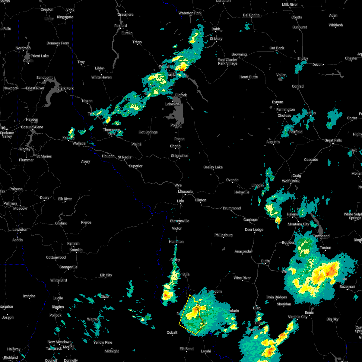 The severe thunderstorm warning for north central lemhi county will expire at 345 pm mdt, the storm which prompted the warning has moved out of the area. therefore, the warning will be allowed to expire. The severe thunderstorm warning for north central lemhi county will expire at 345 pm mdt, the storm which prompted the warning has moved out of the area. therefore, the warning will be allowed to expire.
|
| 7/13/2022 3:36 PM MDT |
Mesonet station smyi1 salmo in lemhi county ID, 3.1 miles ENE of Salmon, ID
|
| 7/13/2022 3:31 PM MDT |
Report of several trees and tree limbs down. two reports of trees across power lines... causing outage in lemhi county ID, 0.9 miles WSW of Salmon, ID
|
| 7/13/2022 3:30 PM MDT |
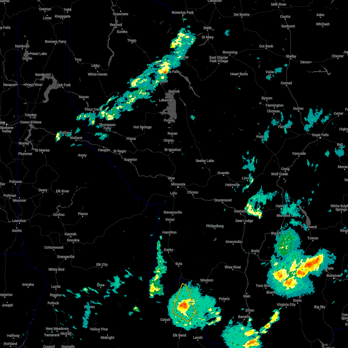 At 329 pm mdt, a severe thunderstorm was located 10 miles east of north fork, or 13 miles north of salmon, moving northeast at 45 mph (radar indicated). Hazards include 60 mph wind gusts. expect damage to roofs, siding, and trees At 329 pm mdt, a severe thunderstorm was located 10 miles east of north fork, or 13 miles north of salmon, moving northeast at 45 mph (radar indicated). Hazards include 60 mph wind gusts. expect damage to roofs, siding, and trees
|
| 7/13/2022 3:16 PM MDT |
Multiple willow trees... 6 inches in diameter... downed by the wind. the strong wind lasted for a whil in lemhi county ID, 0.9 miles WNW of Salmon, ID
|
| 7/13/2022 3:15 PM MDT |
Reports of bleacher damage and damage to one of the modular units on the high school campu in lemhi county ID, 0.5 miles NW of Salmon, ID
|
| 7/13/2022 3:15 PM MDT |
Roof blown off a traile in lemhi county ID, 5.3 miles NW of Salmon, ID
|
| 7/13/2022 3:14 PM MDT |
Report of roof damage at a business in tow in lemhi county ID, 0.5 miles NW of Salmon, ID
|
| 8/21/2021 4:44 PM MDT |
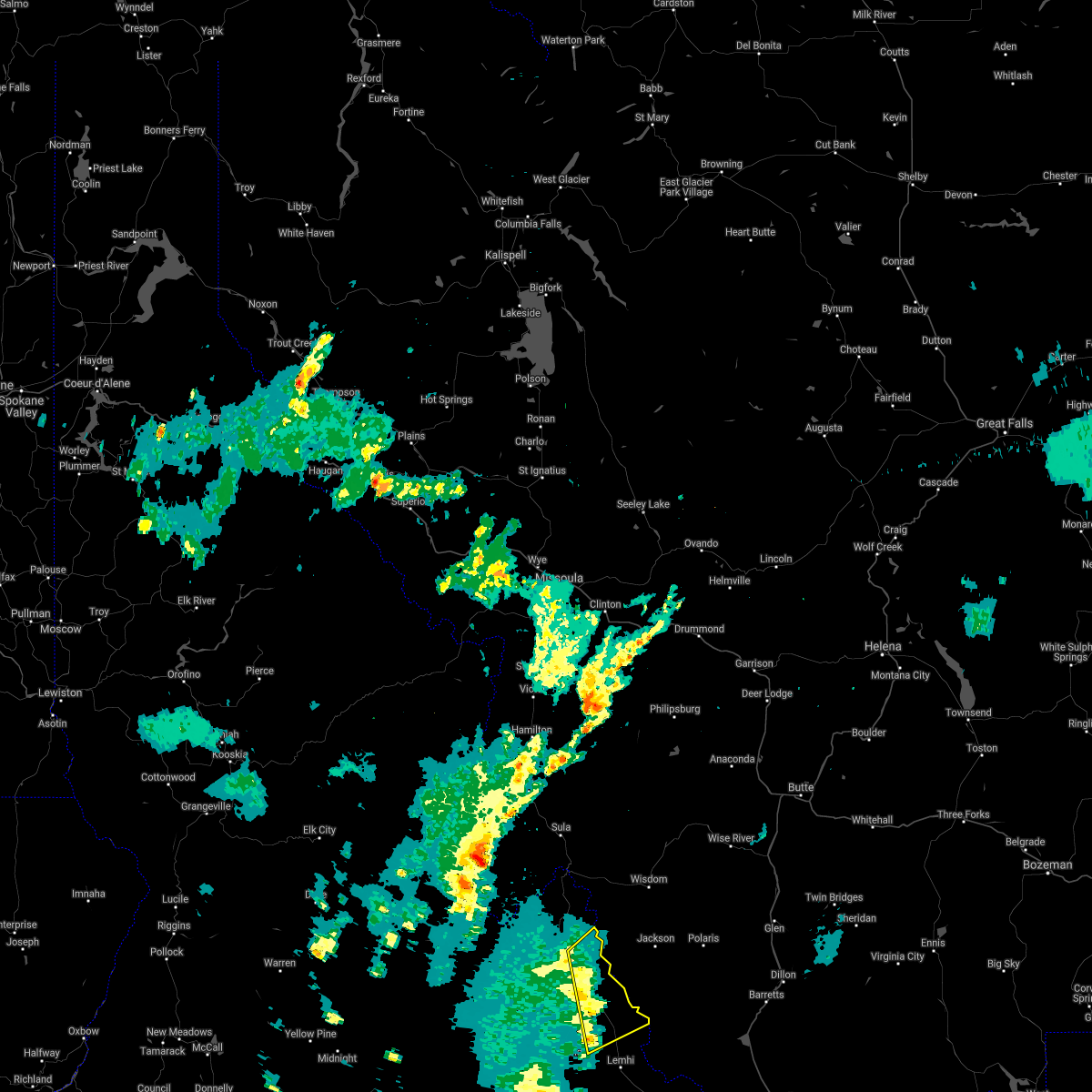 At 443 pm mdt, severe thunderstorms were located along a line extending from 8 miles north of salmon to 13 miles northwest of lemhi, moving northeast at 35 mph (radar indicated). Hazards include 70 mph wind gusts. Expect considerable tree damage. Damage is likely to mobile homes, roofs, and outbuildings. At 443 pm mdt, severe thunderstorms were located along a line extending from 8 miles north of salmon to 13 miles northwest of lemhi, moving northeast at 35 mph (radar indicated). Hazards include 70 mph wind gusts. Expect considerable tree damage. Damage is likely to mobile homes, roofs, and outbuildings.
|
| 7/7/2021 2:51 PM MDT |
Mesonet station krci1 kriley creek raw in lemhi county ID, 12.8 miles S of Salmon, ID
|
| 7/7/2021 1:55 PM MDT |
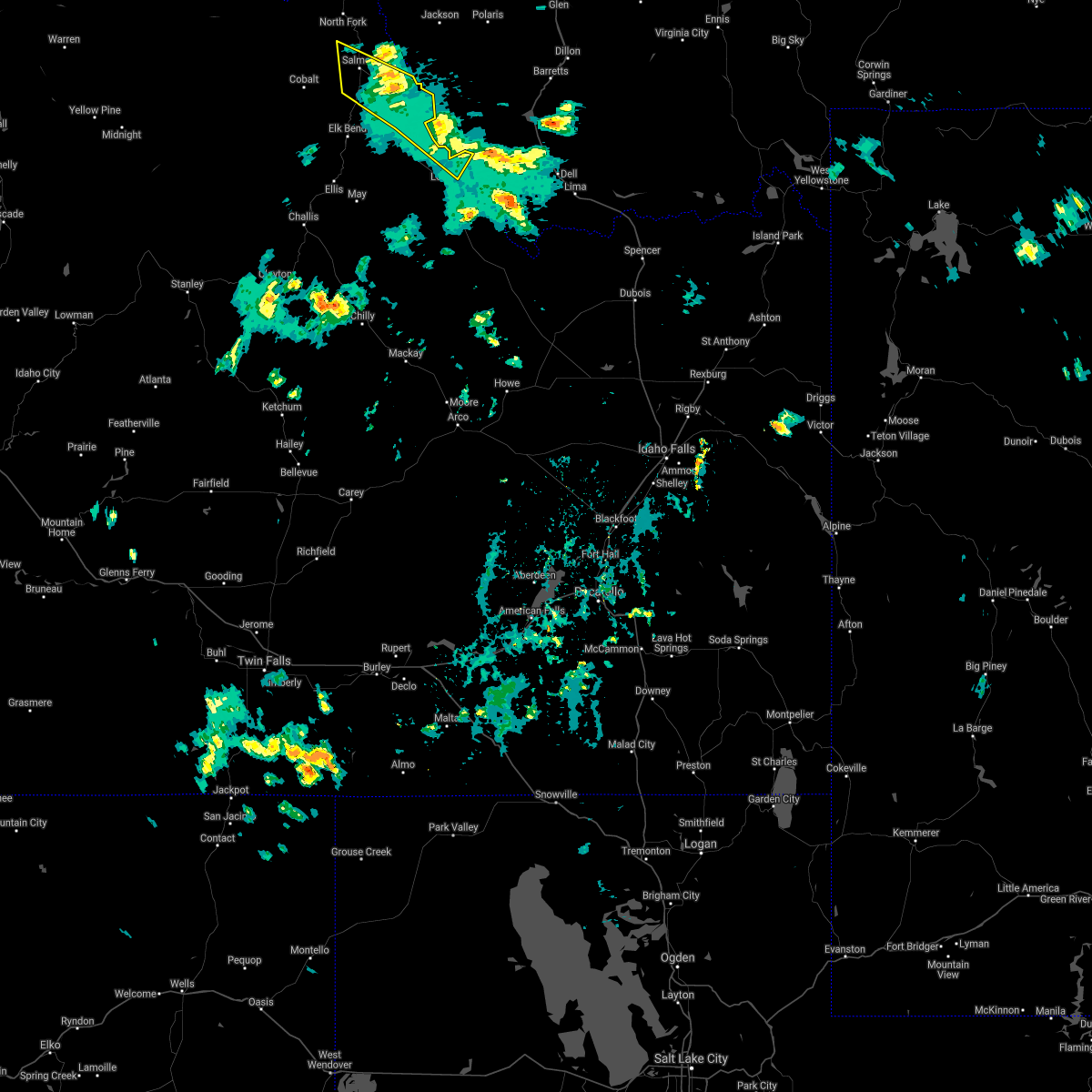 The severe thunderstorm warning for central lemhi county will expire at 200 pm mdt, the storms which prompted the warning have moved out of the area. therefore, the warning will be allowed to expire. however gusty winds are still possible with these thunderstorms. The severe thunderstorm warning for central lemhi county will expire at 200 pm mdt, the storms which prompted the warning have moved out of the area. therefore, the warning will be allowed to expire. however gusty winds are still possible with these thunderstorms.
|
| 7/7/2021 1:51 PM MDT |
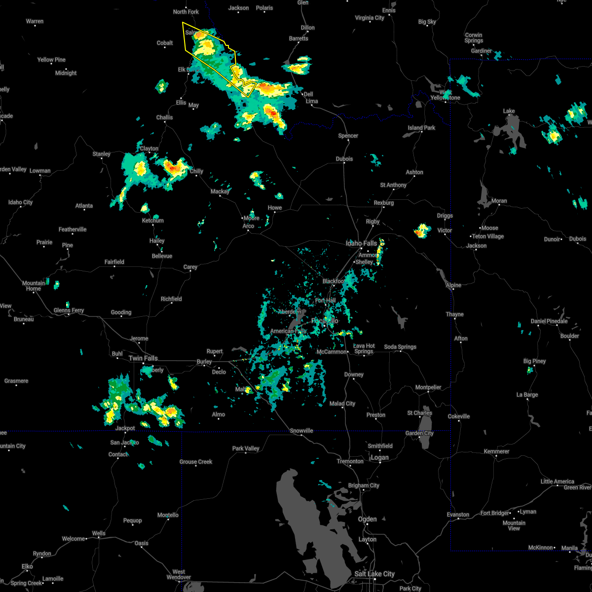 At 151 pm mdt, severe thunderstorms were located along a line extending from 13 miles southwest of salmon to 9 miles north of leadore, moving north at 30 mph (radar indicated). Hazards include 60 mph wind gusts. Expect damage to roofs, siding, and trees. Locations impacted include, salmon, tendoy, carmen and baker. At 151 pm mdt, severe thunderstorms were located along a line extending from 13 miles southwest of salmon to 9 miles north of leadore, moving north at 30 mph (radar indicated). Hazards include 60 mph wind gusts. Expect damage to roofs, siding, and trees. Locations impacted include, salmon, tendoy, carmen and baker.
|
| 7/7/2021 1:43 PM MDT |
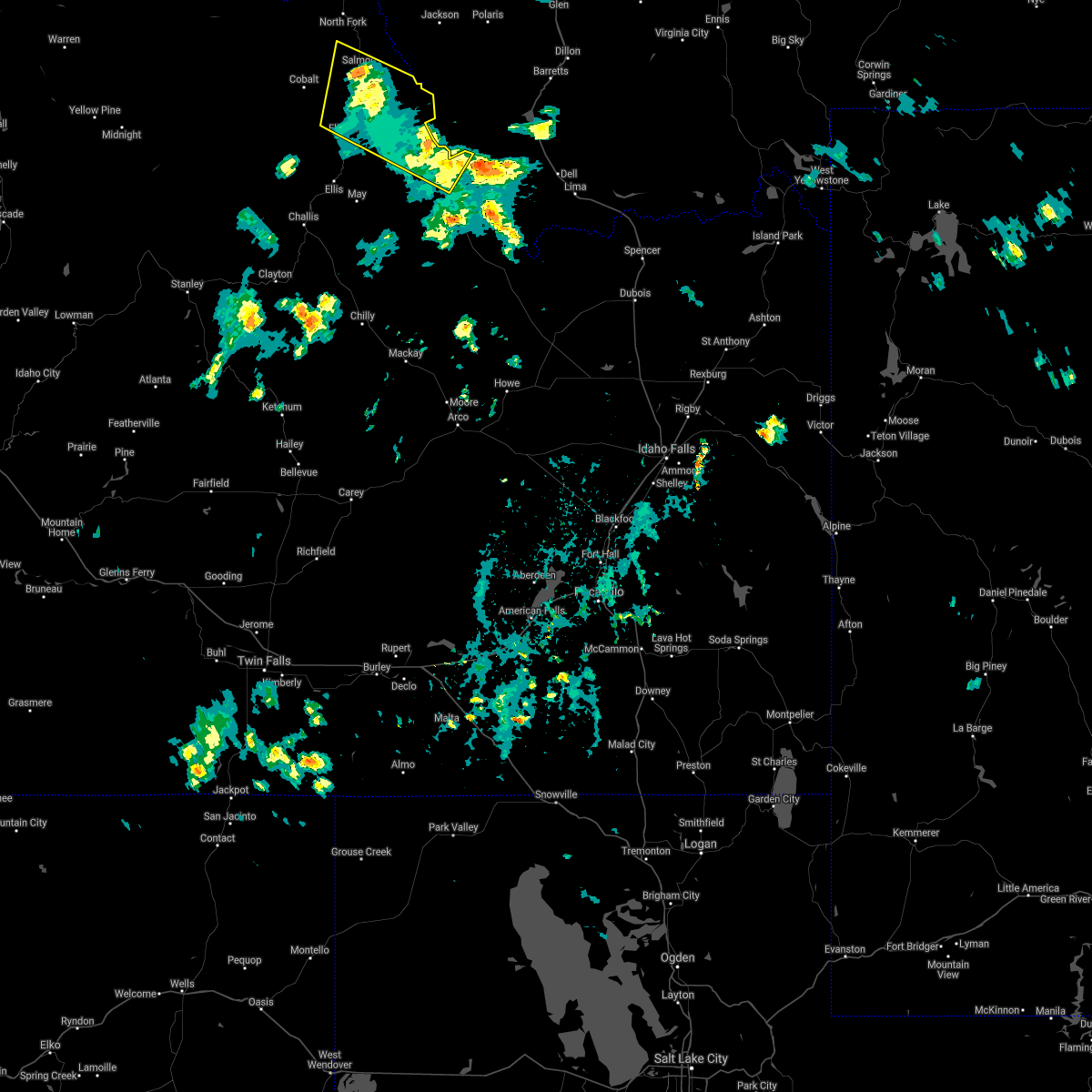 At 143 pm mdt, severe thunderstorms were located along a line extending from 18 miles southwest of salmon to near leadore, moving north at 30 mph (radar indicated). Hazards include 60 mph wind gusts. Expect damage to roofs, siding, and trees. Locations impacted include, salmon, lemhi, leadore, carmen, williams lake, baker and tendoy. At 143 pm mdt, severe thunderstorms were located along a line extending from 18 miles southwest of salmon to near leadore, moving north at 30 mph (radar indicated). Hazards include 60 mph wind gusts. Expect damage to roofs, siding, and trees. Locations impacted include, salmon, lemhi, leadore, carmen, williams lake, baker and tendoy.
|
| 7/7/2021 1:30 PM MDT |
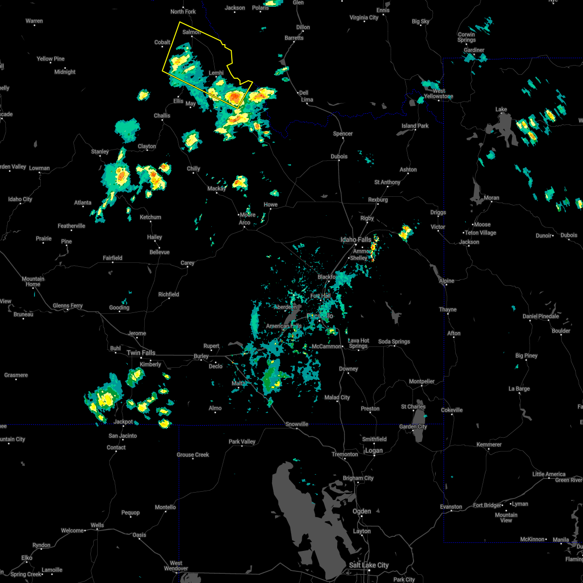 At 129 pm mdt, severe thunderstorms were located along a line extending from 22 miles southwest of salmon to near leadore, moving north at 30 mph (radar indicated). Hazards include 60 mph wind gusts. expect damage to roofs, siding, and trees At 129 pm mdt, severe thunderstorms were located along a line extending from 22 miles southwest of salmon to near leadore, moving north at 30 mph (radar indicated). Hazards include 60 mph wind gusts. expect damage to roofs, siding, and trees
|
| 8/11/2019 11:58 AM MDT |
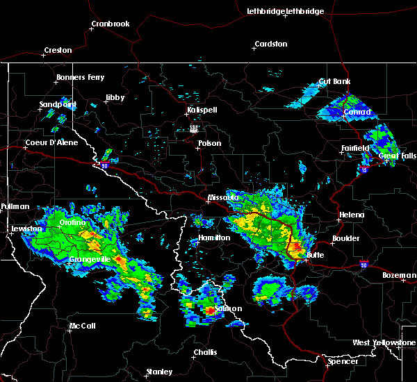 At 1158 am mdt, a severe thunderstorm was located near salmon, moving northeast at 25 mph (radar indicated). Hazards include 60 mph wind gusts and half dollar size hail. Hail damage to vehicles is expected. Expect wind damage to roofs, siding, and trees. At 1158 am mdt, a severe thunderstorm was located near salmon, moving northeast at 25 mph (radar indicated). Hazards include 60 mph wind gusts and half dollar size hail. Hail damage to vehicles is expected. Expect wind damage to roofs, siding, and trees.
|
| 8/10/2019 2:08 PM MDT |
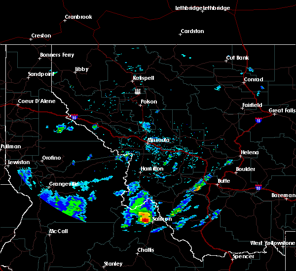 At 208 pm mdt, a severe thunderstorm was located near salmon, moving northeast at 25 mph (radar indicated). Hazards include golf ball size hail and 70 mph wind gusts. People and animals outdoors will be injured. expect hail damage to roofs, siding, windows, and vehicles. expect considerable tree damage. wind damage is also likely to mobile homes, roofs, and outbuildings. Locations impacted include, salmon, leesburg and carmen. At 208 pm mdt, a severe thunderstorm was located near salmon, moving northeast at 25 mph (radar indicated). Hazards include golf ball size hail and 70 mph wind gusts. People and animals outdoors will be injured. expect hail damage to roofs, siding, windows, and vehicles. expect considerable tree damage. wind damage is also likely to mobile homes, roofs, and outbuildings. Locations impacted include, salmon, leesburg and carmen.
|
| 8/10/2019 1:59 PM MDT |
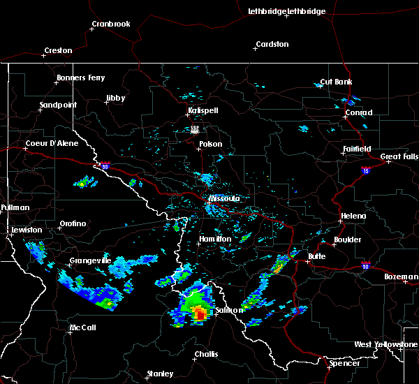 The national weather service in missoula has issued a * severe thunderstorm warning for. north central lemhi county in east central idaho. until 230 pm mdt. At 159 pm mdt, a severe thunderstorm was located 9 miles west of salmon, moving northeast at 25 mph. The national weather service in missoula has issued a * severe thunderstorm warning for. north central lemhi county in east central idaho. until 230 pm mdt. At 159 pm mdt, a severe thunderstorm was located 9 miles west of salmon, moving northeast at 25 mph.
|
| 5/26/2018 3:30 PM MDT |
Quarter sized hail reported 16.9 miles SSE of Salmon, ID, hail lasted 5 minutes.
|
| 5/26/2018 3:26 PM MDT |
Quarter sized hail reported 15.2 miles SSE of Salmon, ID, damage to skylights and air conditioning units plus leaks on various rv’s.
|
| 5/26/2018 3:25 PM MDT |
Quarter sized hail reported 15.2 miles SSE of Salmon, ID, covered the ground. time of report was derived from radar.
|
| 6/26/2017 10:36 PM MDT |
Salmon raw in lemhi county ID, 3.8 miles N of Salmon, ID
|
|
|
| 8/7/2016 5:10 PM MDT |
Quarter sized hail reported 19.3 miles N of Salmon, ID, multiple residents in elk bend reported nickel and quarter-sized hail. some may have been larger according to a couple residents.
|
| 8/10/2015 5:04 PM MDT |
Storm damage reported in lemhi county ID, 20.2 miles SE of Salmon, ID
|
| 10/11/2014 7:00 PM MDT |
The lemhi county sheriff dispatch reported that several trees were down from strong gusty winds. at least one of the trees was a cottonwood and one of the trees fell on in lemhi county ID, 5.1 miles WNW of Salmon, ID
|
| 9/5/2013 6:51 PM MDT |
Trees down and power outage in s in lemhi county ID, 12.8 miles S of Salmon, ID
|
| 9/5/2013 6:36 PM MDT |
Storm damage reported in lemhi county ID, 3.1 miles ENE of Salmon, ID
|
| 9/5/2013 5:51 PM MDT |
Kriley creek raws at 5200ft in lemhi county ID, 12.8 miles S of Salmon, ID
|
| 8/1/2013 2:55 PM MDT |
Power lines are down in 3 different areas. a lightning strike started a new fire. also a roof over a patio blew of in lemhi county ID, 0.5 miles SW of Salmon, ID
|
| 8/1/2013 2:24 PM MDT |
Quarter sized hail reported 7.2 miles SSW of Salmon, ID
|
| 8/1/2013 2:15 PM MDT |
Quarter sized hail reported 0.5 miles SW of Salmon, ID
|
| 8/1/2013 2:08 PM MDT |
Quarter sized hail reported 0.5 miles SW of Salmon, ID
|
| 8/1/2013 2:06 PM MDT |
Trees down on roadways and on properties. power outages as wel in lemhi county ID, 0.4 miles SSE of Salmon, ID
|
| 8/1/2013 2:06 PM MDT |
Golf Ball sized hail reported 0.4 miles SSE of Salmon, ID, trees down over roadways and on properties. pwer outages. 50mph winds as well. hail duration nan minutes
|
| 7/9/2012 5:36 PM MDT |
Salmon raws at 5100 ft in lemhi county ID, 3.1 miles ENE of Salmon, ID
|
| 1/1/0001 12:00 AM |
Measured at kriley creek raws at 5200 fee in lemhi county ID, 11.4 miles S of Salmon, ID
|
 The severe thunderstorm warning for north central lemhi county will expire at 345 pm mdt, the storm which prompted the warning has moved out of the area. therefore, the warning will be allowed to expire.
 At 329 pm mdt, a severe thunderstorm was located 10 miles east of north fork, or 13 miles north of salmon, moving northeast at 45 mph (radar indicated). Hazards include 60 mph wind gusts. expect damage to roofs, siding, and trees
 At 443 pm mdt, severe thunderstorms were located along a line extending from 8 miles north of salmon to 13 miles northwest of lemhi, moving northeast at 35 mph (radar indicated). Hazards include 70 mph wind gusts. Expect considerable tree damage. Damage is likely to mobile homes, roofs, and outbuildings.
 The severe thunderstorm warning for central lemhi county will expire at 200 pm mdt, the storms which prompted the warning have moved out of the area. therefore, the warning will be allowed to expire. however gusty winds are still possible with these thunderstorms.
 At 151 pm mdt, severe thunderstorms were located along a line extending from 13 miles southwest of salmon to 9 miles north of leadore, moving north at 30 mph (radar indicated). Hazards include 60 mph wind gusts. Expect damage to roofs, siding, and trees. Locations impacted include, salmon, tendoy, carmen and baker.
 At 143 pm mdt, severe thunderstorms were located along a line extending from 18 miles southwest of salmon to near leadore, moving north at 30 mph (radar indicated). Hazards include 60 mph wind gusts. Expect damage to roofs, siding, and trees. Locations impacted include, salmon, lemhi, leadore, carmen, williams lake, baker and tendoy.
 At 129 pm mdt, severe thunderstorms were located along a line extending from 22 miles southwest of salmon to near leadore, moving north at 30 mph (radar indicated). Hazards include 60 mph wind gusts. expect damage to roofs, siding, and trees
 At 1158 am mdt, a severe thunderstorm was located near salmon, moving northeast at 25 mph (radar indicated). Hazards include 60 mph wind gusts and half dollar size hail. Hail damage to vehicles is expected. Expect wind damage to roofs, siding, and trees.
 At 208 pm mdt, a severe thunderstorm was located near salmon, moving northeast at 25 mph (radar indicated). Hazards include golf ball size hail and 70 mph wind gusts. People and animals outdoors will be injured. expect hail damage to roofs, siding, windows, and vehicles. expect considerable tree damage. wind damage is also likely to mobile homes, roofs, and outbuildings. Locations impacted include, salmon, leesburg and carmen.
 The national weather service in missoula has issued a * severe thunderstorm warning for. north central lemhi county in east central idaho. until 230 pm mdt. At 159 pm mdt, a severe thunderstorm was located 9 miles west of salmon, moving northeast at 25 mph.




Connect with Interactive Hail Maps