| 3/5/2025 9:02 AM EST |
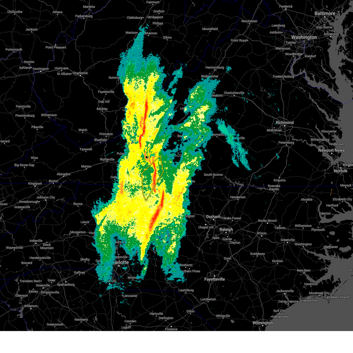 The storms which prompted the warning have moved out of the area. therefore, the warning has been allowed to expire. however, gusty winds and heavy rain are still possible with these thunderstorms. a tornado watch remains in effect until 100 pm est for north central north carolina. remember, a severe thunderstorm warning still remains in effect for portions of franklin and henry county until 945 am. The storms which prompted the warning have moved out of the area. therefore, the warning has been allowed to expire. however, gusty winds and heavy rain are still possible with these thunderstorms. a tornado watch remains in effect until 100 pm est for north central north carolina. remember, a severe thunderstorm warning still remains in effect for portions of franklin and henry county until 945 am.
|
| 3/5/2025 8:42 AM EST |
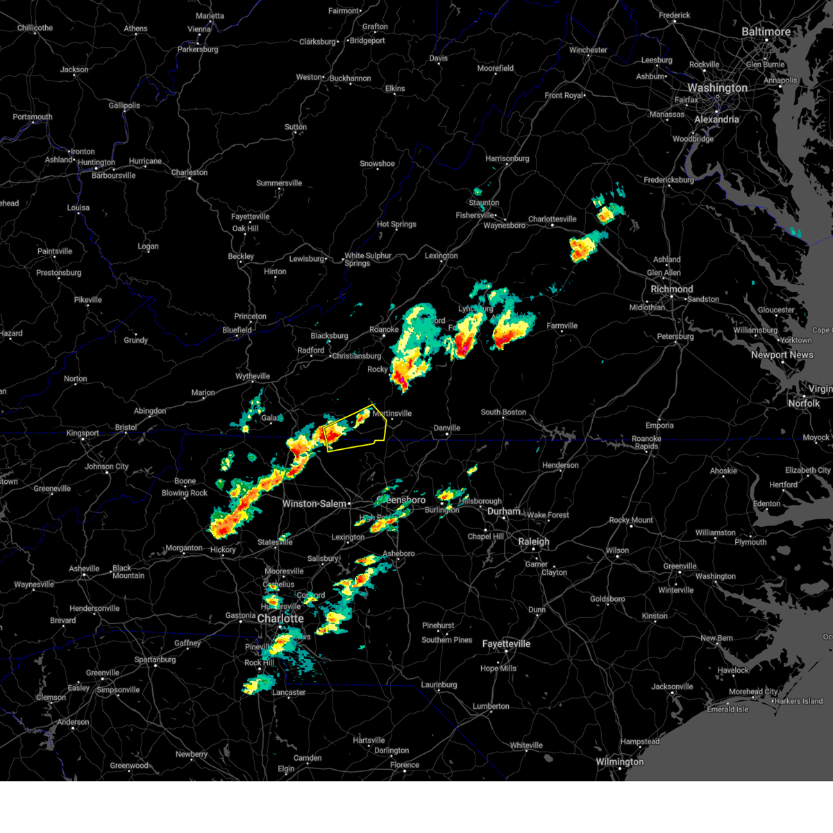
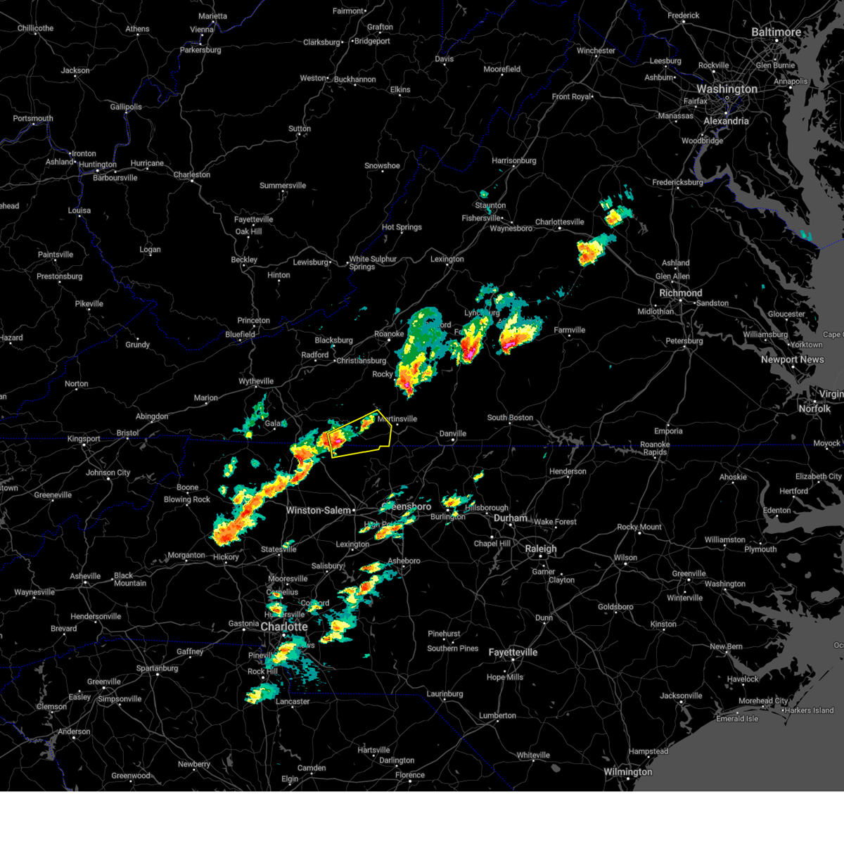
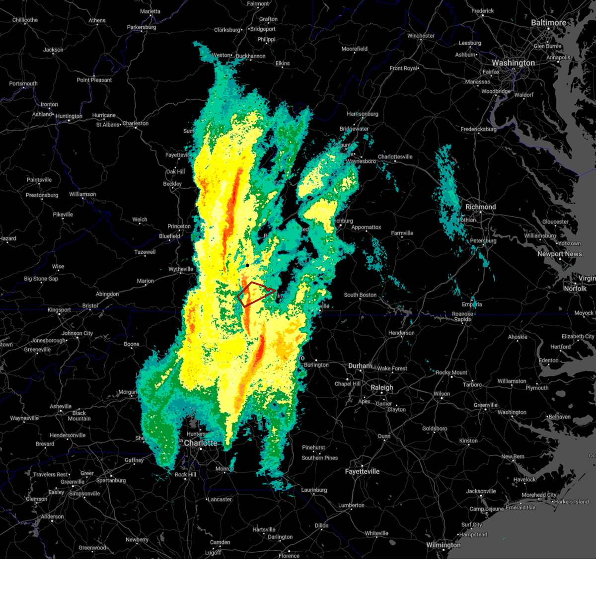 The tornado threat has diminished and the tornado warning has been cancelled. however, damaging winds remain likely and a severe thunderstorm warning remains in effect for the area. a tornado watch remains in effect until 100 pm est for north central north carolina. The tornado threat has diminished and the tornado warning has been cancelled. however, damaging winds remain likely and a severe thunderstorm warning remains in effect for the area. a tornado watch remains in effect until 100 pm est for north central north carolina.
|
| 3/5/2025 8:40 AM EST |
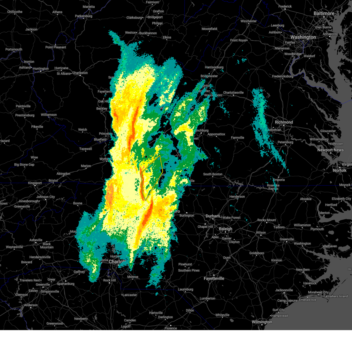 At 839 am est, severe thunderstorms were located along a line extending from woolwine to near patrick springs to hanging rock state park, moving northeast at 50 mph (radar indicated). Hazards include 60 mph wind gusts. Expect damage to roofs, siding, and trees. Locations impacted include, stuart, danbury, bassett, ferrum, woolwine, endicott, and critz. At 839 am est, severe thunderstorms were located along a line extending from woolwine to near patrick springs to hanging rock state park, moving northeast at 50 mph (radar indicated). Hazards include 60 mph wind gusts. Expect damage to roofs, siding, and trees. Locations impacted include, stuart, danbury, bassett, ferrum, woolwine, endicott, and critz.
|
| 3/5/2025 8:39 AM EST |
Tree down on phone line near the intersection of jeb stuart hwy and dan river r in patrick county VA, 9.4 miles SE of Stuart, VA
|
| 3/5/2025 8:37 AM EST |
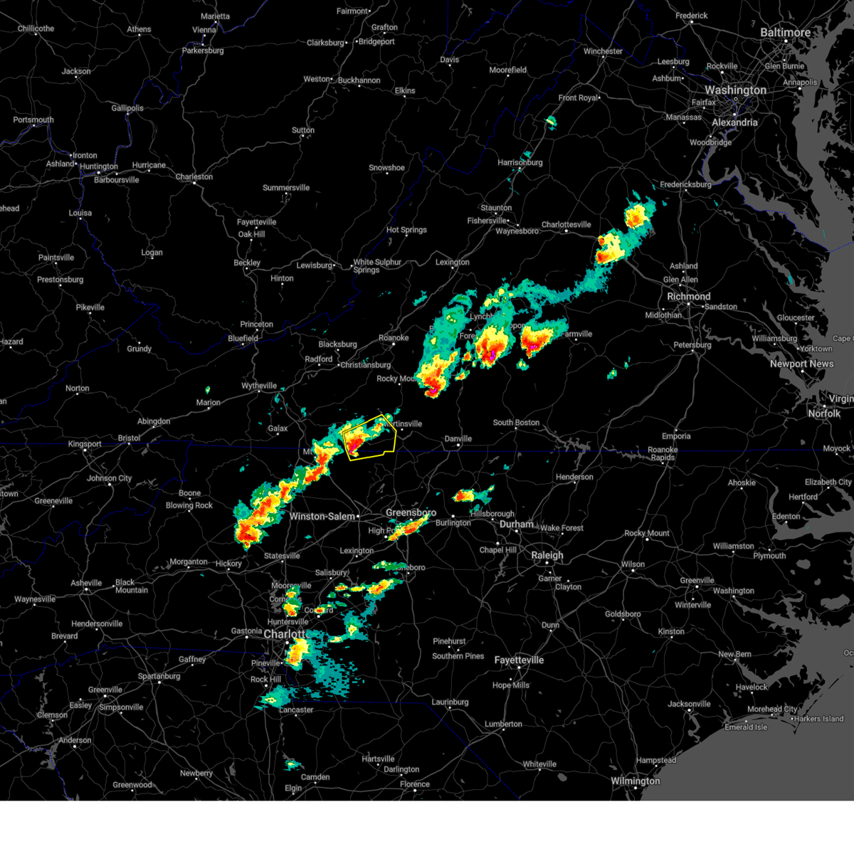
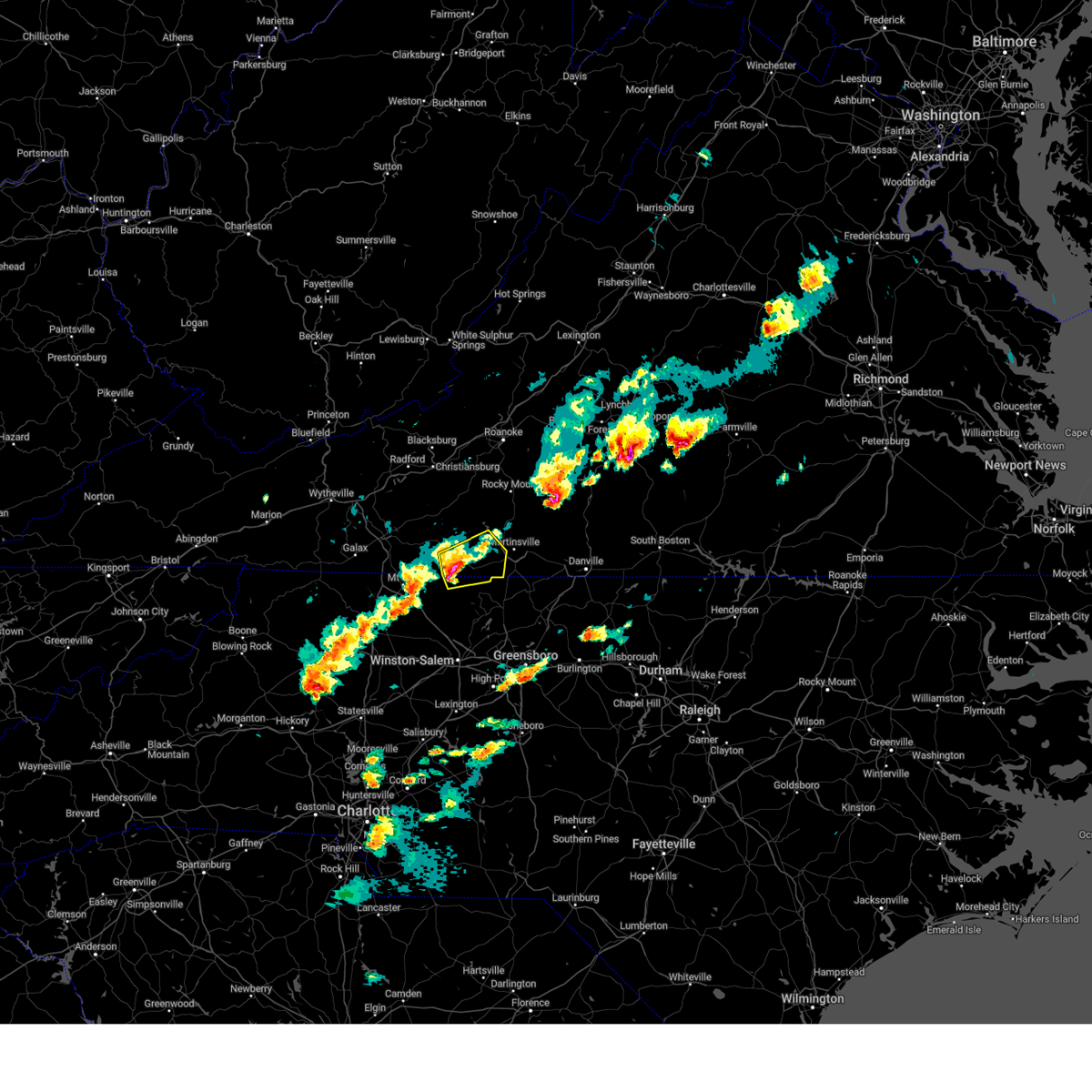
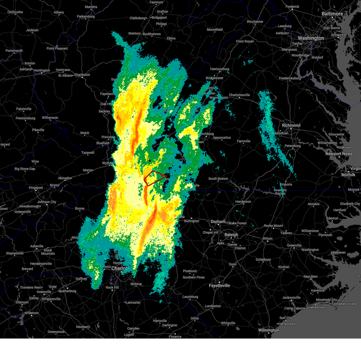 At 836 am est, a severe thunderstorm capable of producing a tornado was located near buffalo ridge, or near woolwine, moving northeast at 60 mph (radar indicated rotation). Hazards include tornado. Flying debris will be dangerous to those caught without shelter. mobile homes will be damaged or destroyed. damage to roofs, windows, and vehicles will occur. tree damage is likely. Locations impacted include, stuart, woolwine, bassett, fairy stone state park, buffalo ridge, philpott dam, and charity. At 836 am est, a severe thunderstorm capable of producing a tornado was located near buffalo ridge, or near woolwine, moving northeast at 60 mph (radar indicated rotation). Hazards include tornado. Flying debris will be dangerous to those caught without shelter. mobile homes will be damaged or destroyed. damage to roofs, windows, and vehicles will occur. tree damage is likely. Locations impacted include, stuart, woolwine, bassett, fairy stone state park, buffalo ridge, philpott dam, and charity.
|
| 3/5/2025 8:32 AM EST |
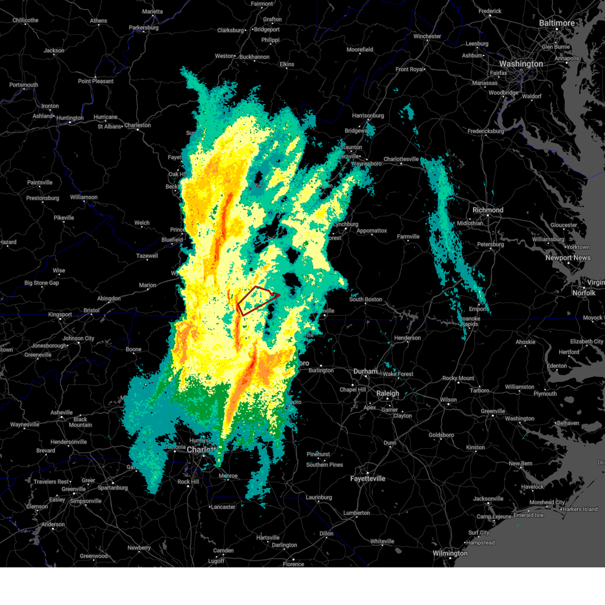 Torrnk the national weather service in blacksburg has issued a * tornado warning for, northwestern henry county in south central virginia, eastern patrick county in southwestern virginia, * until 845 am est. * at 832 am est, a severe thunderstorm capable of producing a tornado was located near stuart, moving northeast at 60 mph (radar indicated rotation). Hazards include tornado. Flying debris will be dangerous to those caught without shelter. mobile homes will be damaged or destroyed. damage to roofs, windows, and vehicles will occur. Tree damage is likely. Torrnk the national weather service in blacksburg has issued a * tornado warning for, northwestern henry county in south central virginia, eastern patrick county in southwestern virginia, * until 845 am est. * at 832 am est, a severe thunderstorm capable of producing a tornado was located near stuart, moving northeast at 60 mph (radar indicated rotation). Hazards include tornado. Flying debris will be dangerous to those caught without shelter. mobile homes will be damaged or destroyed. damage to roofs, windows, and vehicles will occur. Tree damage is likely.
|
| 3/5/2025 8:25 AM EST |
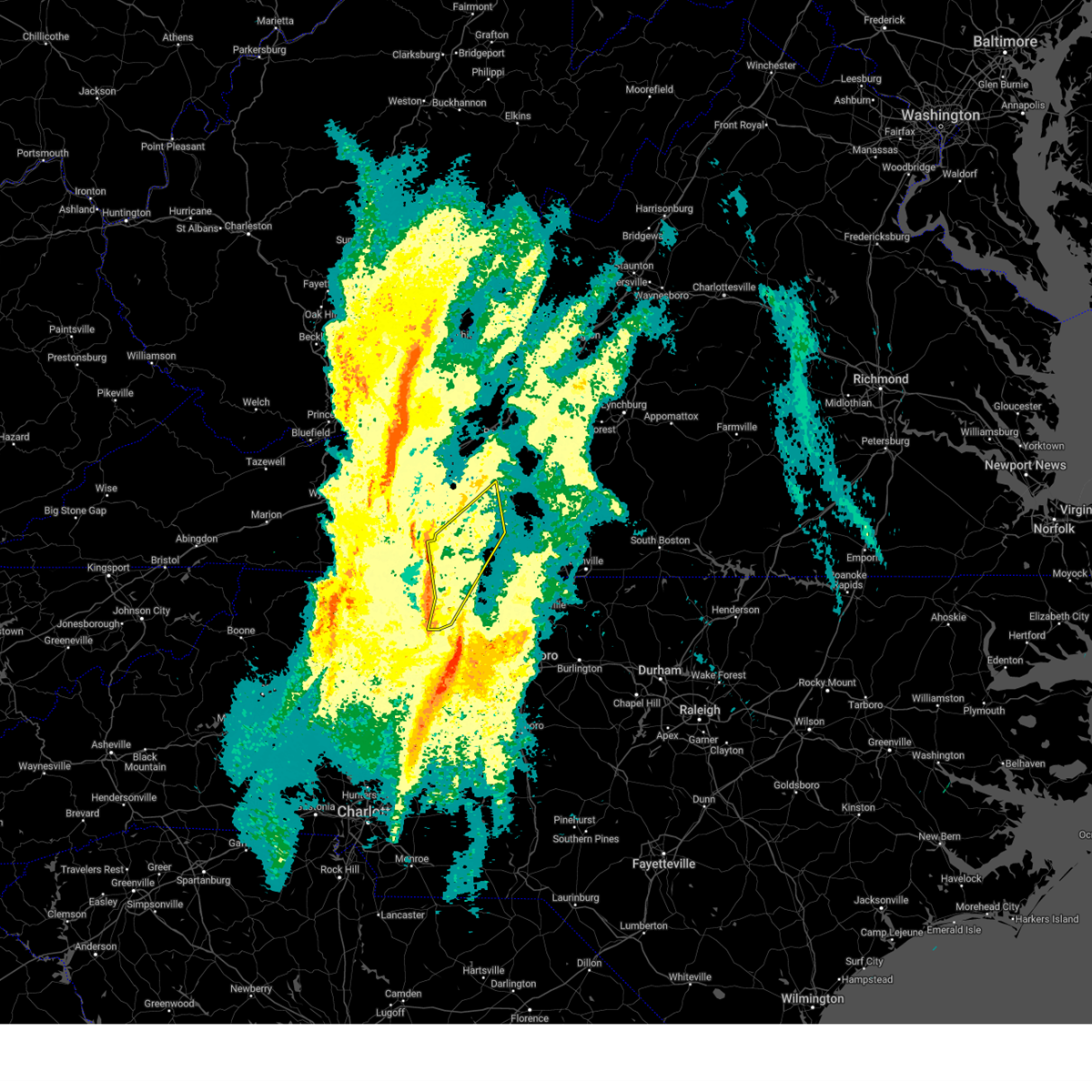 Svrrnk the national weather service in blacksburg has issued a * severe thunderstorm warning for, western stokes county in north central north carolina, northwestern henry county in south central virginia, patrick county in southwestern virginia, southwestern franklin county in west central virginia, * until 900 am est. * at 825 am est, severe thunderstorms were located along a line extending from near laurel fork to near westfield to near pinnacle, moving northeast at 50 mph (radar indicated). Hazards include 60 mph wind gusts. expect damage to roofs, siding, and trees Svrrnk the national weather service in blacksburg has issued a * severe thunderstorm warning for, western stokes county in north central north carolina, northwestern henry county in south central virginia, patrick county in southwestern virginia, southwestern franklin county in west central virginia, * until 900 am est. * at 825 am est, severe thunderstorms were located along a line extending from near laurel fork to near westfield to near pinnacle, moving northeast at 50 mph (radar indicated). Hazards include 60 mph wind gusts. expect damage to roofs, siding, and trees
|
| 9/24/2024 7:15 PM EDT |
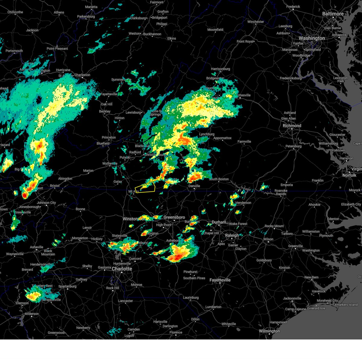 the severe thunderstorm warning has been cancelled and is no longer in effect the severe thunderstorm warning has been cancelled and is no longer in effect
|
| 9/24/2024 6:56 PM EDT |
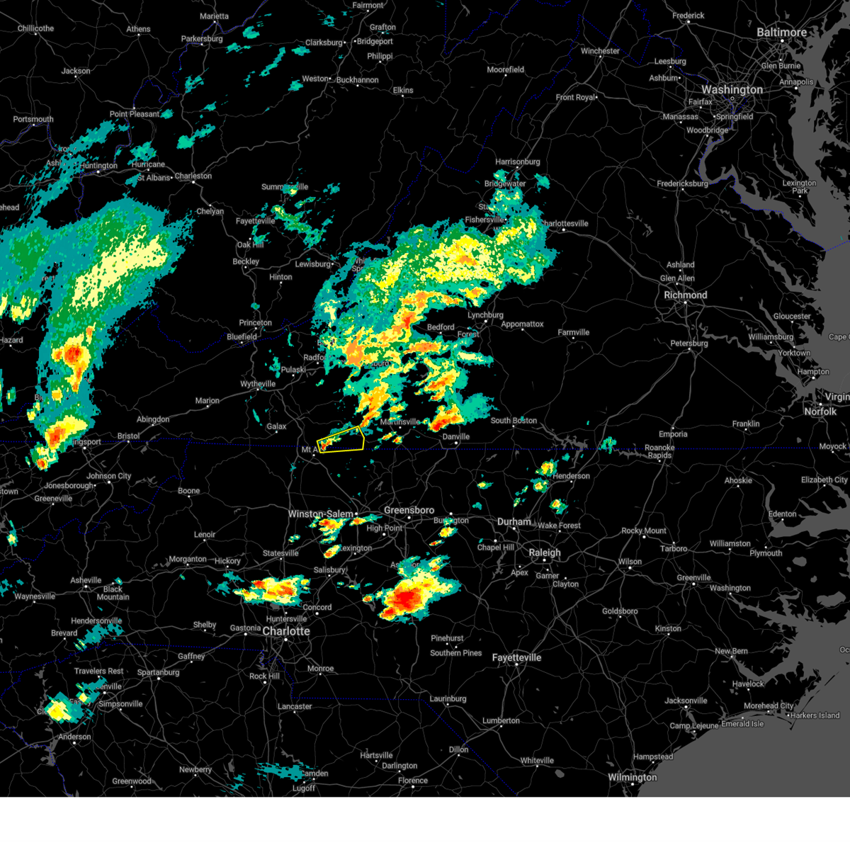 Svrrnk the national weather service in blacksburg has issued a * severe thunderstorm warning for, northeastern surry county in northwestern north carolina, northwestern stokes county in north central north carolina, southwestern patrick county in southwestern virginia, * until 800 pm edt. * at 656 pm edt, a severe thunderstorm was located over ararat, moving east at 15 mph (radar indicated). Hazards include 60 mph wind gusts and quarter size hail. Hail damage to vehicles is expected. Expect wind damage to roofs, siding, and trees. Svrrnk the national weather service in blacksburg has issued a * severe thunderstorm warning for, northeastern surry county in northwestern north carolina, northwestern stokes county in north central north carolina, southwestern patrick county in southwestern virginia, * until 800 pm edt. * at 656 pm edt, a severe thunderstorm was located over ararat, moving east at 15 mph (radar indicated). Hazards include 60 mph wind gusts and quarter size hail. Hail damage to vehicles is expected. Expect wind damage to roofs, siding, and trees.
|
| 7/5/2024 6:11 PM EDT |
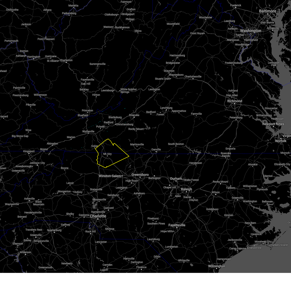 The storms which prompted the warning have weakened below severe limits, and no longer pose an immediate threat to life or property. therefore, the warning will be allowed to expire. however, heavy rain is still possible with these thunderstorms. The storms which prompted the warning have weakened below severe limits, and no longer pose an immediate threat to life or property. therefore, the warning will be allowed to expire. however, heavy rain is still possible with these thunderstorms.
|
| 7/5/2024 5:51 PM EDT |
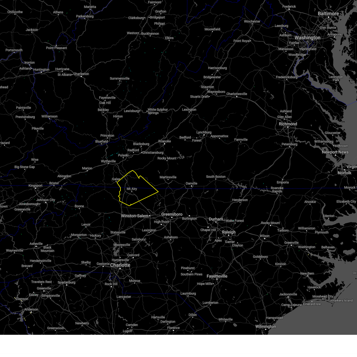 the severe thunderstorm warning has been cancelled and is no longer in effect the severe thunderstorm warning has been cancelled and is no longer in effect
|
| 7/5/2024 5:51 PM EDT |
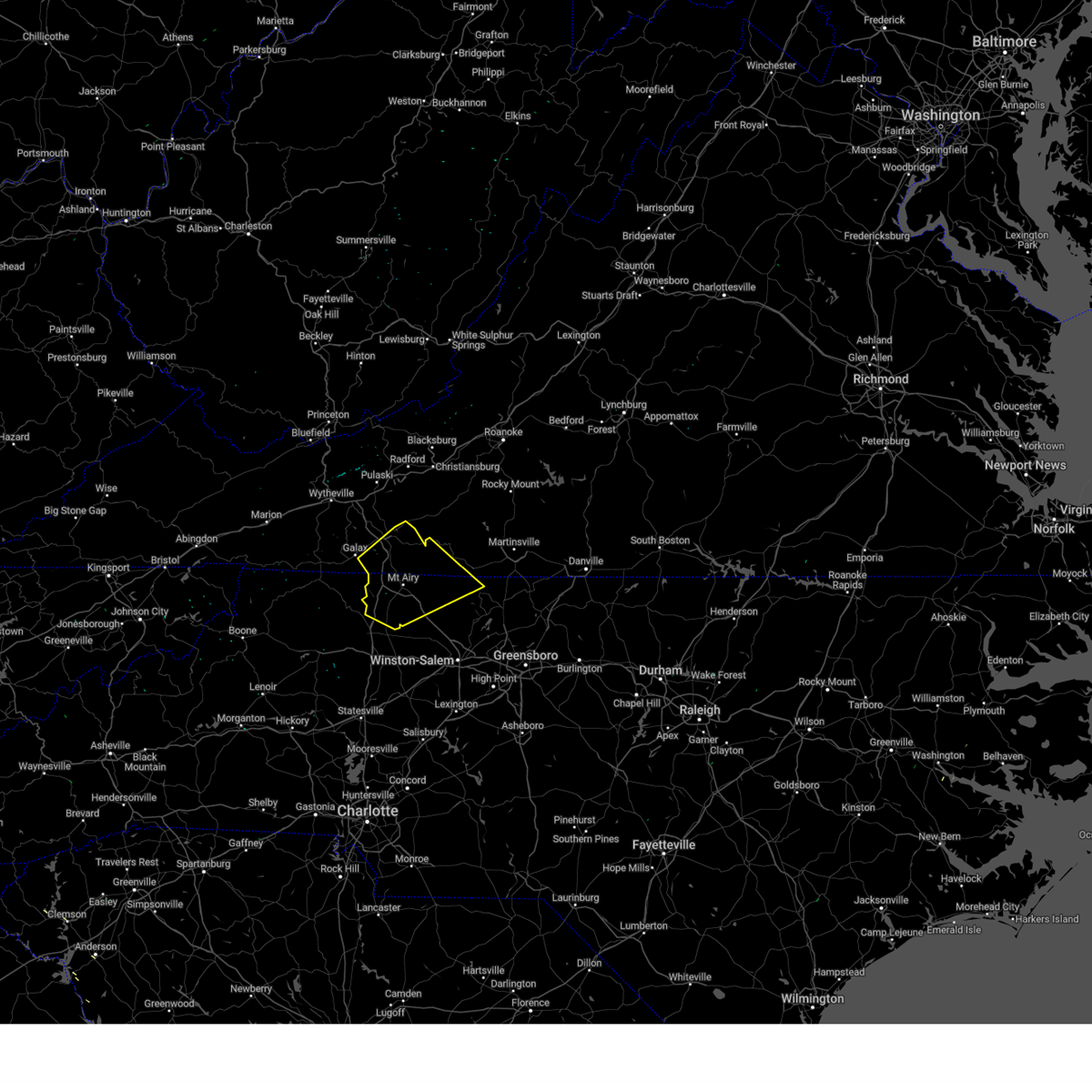 At 550 pm edt, severe thunderstorms were located along a line extending from near lambsburg to pilot mountain state park, moving east at 35 mph (radar indicated). Hazards include 60 mph wind gusts. Expect damage to roofs, siding, and trees. Locations impacted include, mount airy, fairview, flat rock, hillsville, dobson, pilot mountain, and stuart. At 550 pm edt, severe thunderstorms were located along a line extending from near lambsburg to pilot mountain state park, moving east at 35 mph (radar indicated). Hazards include 60 mph wind gusts. Expect damage to roofs, siding, and trees. Locations impacted include, mount airy, fairview, flat rock, hillsville, dobson, pilot mountain, and stuart.
|
| 7/5/2024 5:35 PM EDT |
 Svrrnk the national weather service in blacksburg has issued a * severe thunderstorm warning for, surry county in northwestern north carolina, northern stokes county in north central north carolina, northeastern wilkes county in northwestern north carolina, northwestern yadkin county in northwestern north carolina, southern carroll county in southwestern virginia, southwestern patrick county in southwestern virginia, * until 615 pm edt. * at 535 pm edt, severe thunderstorms were located along a line extending from barrett to boonville, moving northeast at 35 mph (radar indicated). Hazards include 60 mph wind gusts. expect damage to roofs, siding, and trees Svrrnk the national weather service in blacksburg has issued a * severe thunderstorm warning for, surry county in northwestern north carolina, northern stokes county in north central north carolina, northeastern wilkes county in northwestern north carolina, northwestern yadkin county in northwestern north carolina, southern carroll county in southwestern virginia, southwestern patrick county in southwestern virginia, * until 615 pm edt. * at 535 pm edt, severe thunderstorms were located along a line extending from barrett to boonville, moving northeast at 35 mph (radar indicated). Hazards include 60 mph wind gusts. expect damage to roofs, siding, and trees
|
| 7/5/2024 5:09 PM EDT |
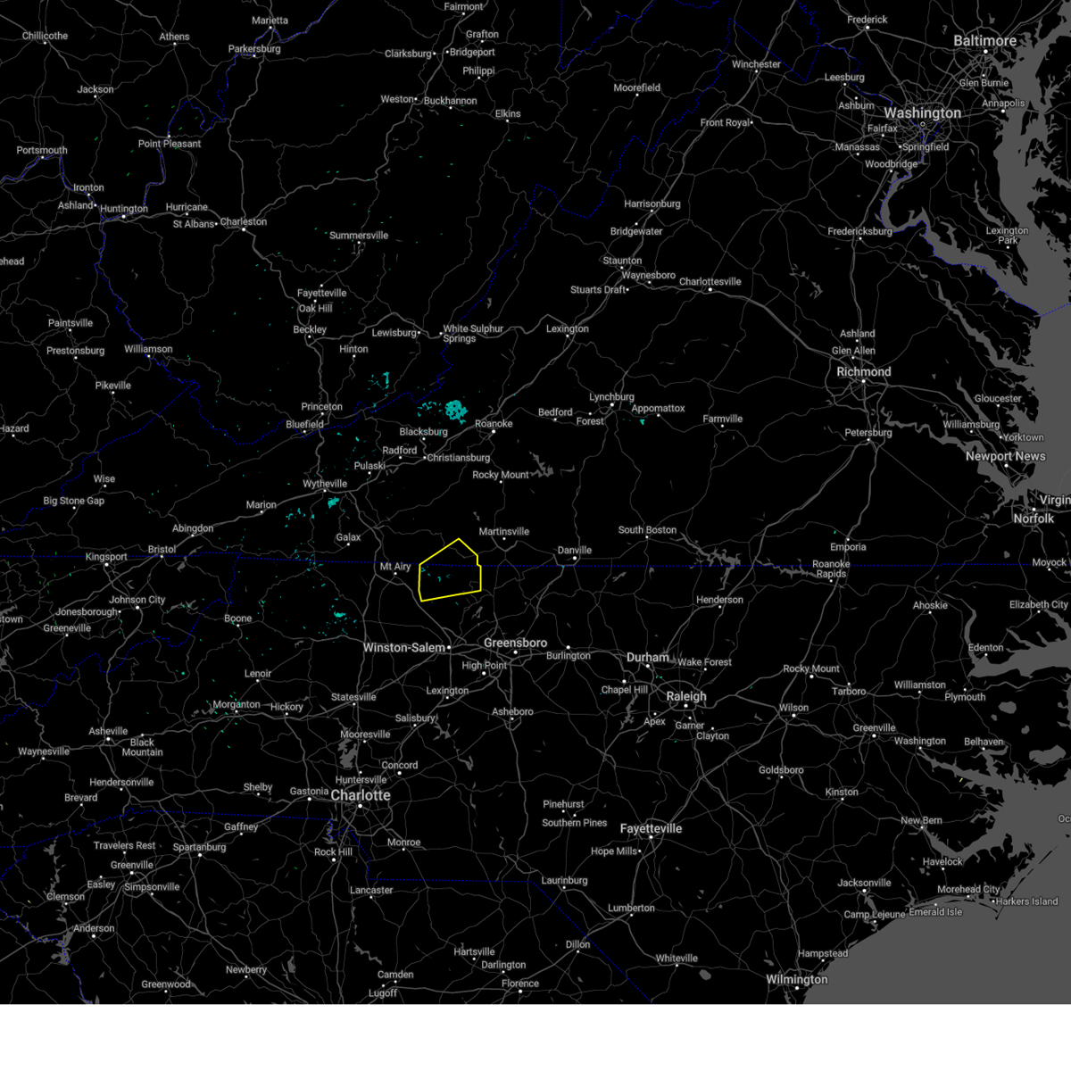 the severe thunderstorm warning has been cancelled and is no longer in effect the severe thunderstorm warning has been cancelled and is no longer in effect
|
| 7/5/2024 4:44 PM EDT |
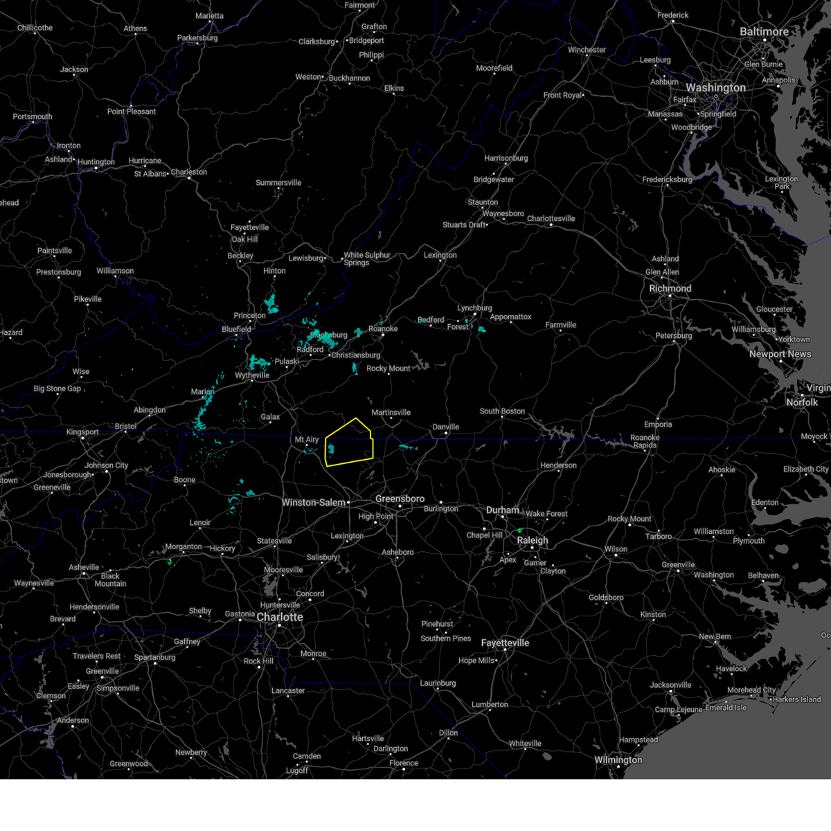 Svrrnk the national weather service in blacksburg has issued a * severe thunderstorm warning for, northern stokes county in north central north carolina, southeastern patrick county in southwestern virginia, * until 530 pm edt. * at 444 pm edt, a severe thunderstorm was located over francisco, moving northeast at 20 mph (radar indicated). Hazards include 60 mph wind gusts and quarter size hail. Hail damage to vehicles is expected. Expect wind damage to roofs, siding, and trees. Svrrnk the national weather service in blacksburg has issued a * severe thunderstorm warning for, northern stokes county in north central north carolina, southeastern patrick county in southwestern virginia, * until 530 pm edt. * at 444 pm edt, a severe thunderstorm was located over francisco, moving northeast at 20 mph (radar indicated). Hazards include 60 mph wind gusts and quarter size hail. Hail damage to vehicles is expected. Expect wind damage to roofs, siding, and trees.
|
| 7/5/2024 2:36 PM EDT |
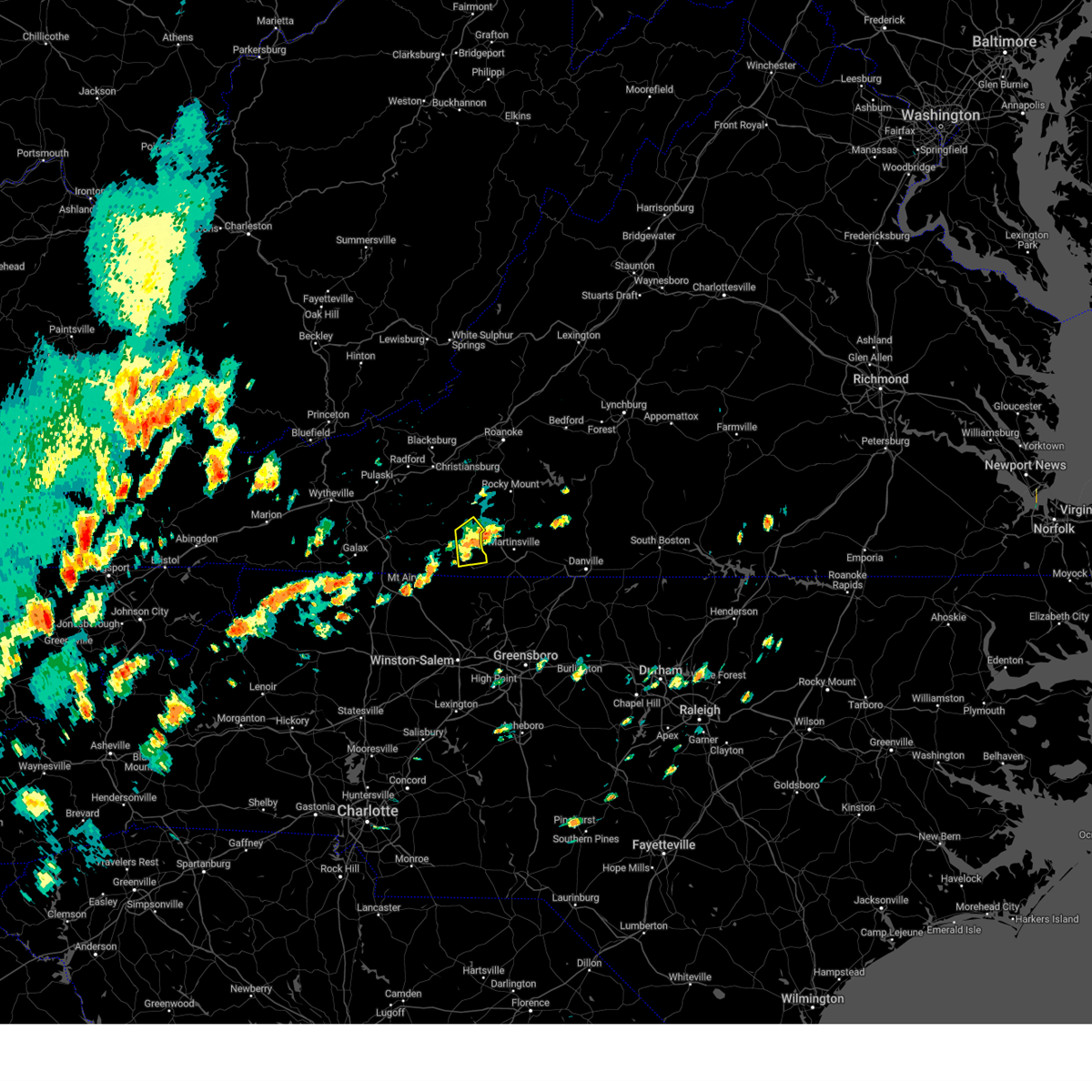 At 236 pm edt, a severe thunderstorm was located near sanville, or 7 miles east of woolwine, moving northeast at 15 mph (radar indicated). Hazards include 60 mph wind gusts. Expect damage to roofs, siding, and trees. Locations impacted include, patrick springs, critz, fairy stone state park, and charity. At 236 pm edt, a severe thunderstorm was located near sanville, or 7 miles east of woolwine, moving northeast at 15 mph (radar indicated). Hazards include 60 mph wind gusts. Expect damage to roofs, siding, and trees. Locations impacted include, patrick springs, critz, fairy stone state park, and charity.
|
| 7/5/2024 2:03 PM EDT |
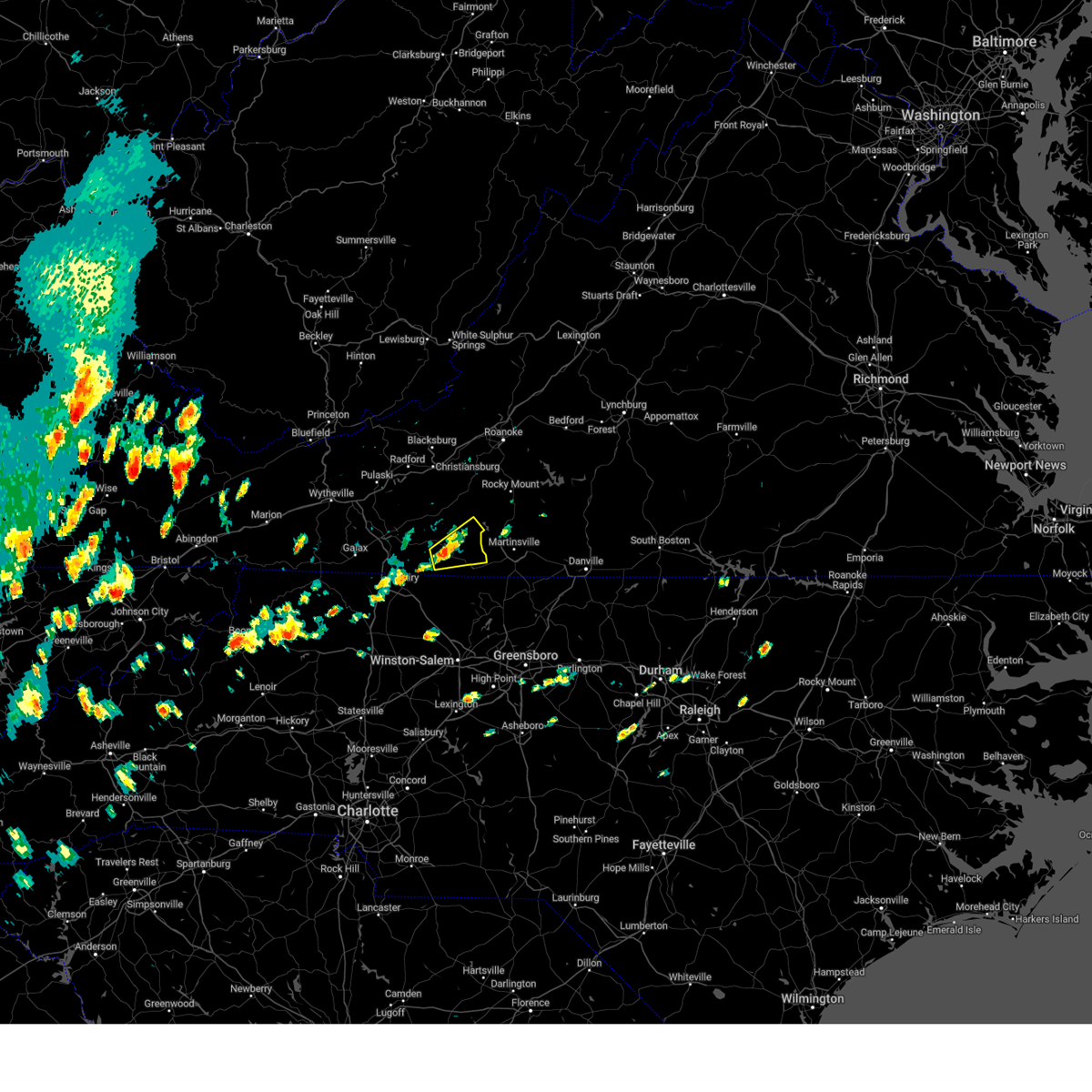 Svrrnk the national weather service in blacksburg has issued a * severe thunderstorm warning for, eastern patrick county in southwestern virginia, * until 245 pm edt. * at 203 pm edt, a severe thunderstorm was located near stuart, moving northeast at 15 mph (radar indicated). Hazards include 60 mph wind gusts and quarter size hail. Hail damage to vehicles is expected. Expect wind damage to roofs, siding, and trees. Svrrnk the national weather service in blacksburg has issued a * severe thunderstorm warning for, eastern patrick county in southwestern virginia, * until 245 pm edt. * at 203 pm edt, a severe thunderstorm was located near stuart, moving northeast at 15 mph (radar indicated). Hazards include 60 mph wind gusts and quarter size hail. Hail damage to vehicles is expected. Expect wind damage to roofs, siding, and trees.
|
| 7/4/2024 6:42 PM EDT |
 The storms which prompted the warning are weakening. however, gusty winds and heavy rain are still possible. wind gusts up to 40 mph and very heavy rain may continue through 7:00 pm. The storms which prompted the warning are weakening. however, gusty winds and heavy rain are still possible. wind gusts up to 40 mph and very heavy rain may continue through 7:00 pm.
|
| 7/4/2024 6:20 PM EDT |
 the severe thunderstorm warning has been cancelled and is no longer in effect the severe thunderstorm warning has been cancelled and is no longer in effect
|
| 7/4/2024 6:20 PM EDT |
 At 615 pm edt, severe thunderstorms were located between meadows of dan and martinsville, moving east at 25 mph. other storms were located between mt. airy and roaring gap (radar indicated). Hazards include 60 mph wind gusts. Expect damage to roofs, siding, and trees. locations impacted include, eden, martinsville, mount airy, fairview, flat rock, wentworth, and mayodan. This includes the following locations the martinsville speedway and martinsville airport. At 615 pm edt, severe thunderstorms were located between meadows of dan and martinsville, moving east at 25 mph. other storms were located between mt. airy and roaring gap (radar indicated). Hazards include 60 mph wind gusts. Expect damage to roofs, siding, and trees. locations impacted include, eden, martinsville, mount airy, fairview, flat rock, wentworth, and mayodan. This includes the following locations the martinsville speedway and martinsville airport.
|
| 7/4/2024 5:49 PM EDT |
 At 548 pm edt, a severe thunderstorm was located near laurel fork, or near ararat, moving east at 25 mph (radar indicated). Hazards include 60 mph wind gusts. Expect damage to roofs, siding, and trees. locations impacted include, eden, martinsville, mount airy, fairview, flat rock, wentworth, and mayodan. This includes the following locations the martinsville speedway and martinsville airport. At 548 pm edt, a severe thunderstorm was located near laurel fork, or near ararat, moving east at 25 mph (radar indicated). Hazards include 60 mph wind gusts. Expect damage to roofs, siding, and trees. locations impacted include, eden, martinsville, mount airy, fairview, flat rock, wentworth, and mayodan. This includes the following locations the martinsville speedway and martinsville airport.
|
| 7/4/2024 5:28 PM EDT |
 Svrrnk the national weather service in blacksburg has issued a * severe thunderstorm warning for, surry county in northwestern north carolina, stokes county in north central north carolina, western rockingham county in north central north carolina, the city of martinsville in south central virginia, southeastern carroll county in southwestern virginia, henry county in south central virginia, patrick county in southwestern virginia, * until 645 pm edt. * at 527 pm edt, a severe thunderstorm was located over fancy gap, moving east at 25 mph (radar indicated). Hazards include 60 mph wind gusts. expect damage to roofs, siding, and trees Svrrnk the national weather service in blacksburg has issued a * severe thunderstorm warning for, surry county in northwestern north carolina, stokes county in north central north carolina, western rockingham county in north central north carolina, the city of martinsville in south central virginia, southeastern carroll county in southwestern virginia, henry county in south central virginia, patrick county in southwestern virginia, * until 645 pm edt. * at 527 pm edt, a severe thunderstorm was located over fancy gap, moving east at 25 mph (radar indicated). Hazards include 60 mph wind gusts. expect damage to roofs, siding, and trees
|
| 5/26/2024 7:03 PM EDT |
 the severe thunderstorm warning has been cancelled and is no longer in effect the severe thunderstorm warning has been cancelled and is no longer in effect
|
| 5/26/2024 6:33 PM EDT |
 At 632 pm edt, severe thunderstorms were located along a line extending from near floyd to 6 miles east of ararat to cana, moving east at 30 mph (radar indicated). Hazards include 60 mph wind gusts. Expect damage to roofs, siding, and trees. Locations impacted include, mount airy, flat rock, pilot mountain, stuart, francisco, cana, and woolwine. At 632 pm edt, severe thunderstorms were located along a line extending from near floyd to 6 miles east of ararat to cana, moving east at 30 mph (radar indicated). Hazards include 60 mph wind gusts. Expect damage to roofs, siding, and trees. Locations impacted include, mount airy, flat rock, pilot mountain, stuart, francisco, cana, and woolwine.
|
| 5/26/2024 6:33 PM EDT |
 the severe thunderstorm warning has been cancelled and is no longer in effect the severe thunderstorm warning has been cancelled and is no longer in effect
|
|
|
| 5/26/2024 6:31 PM EDT |
 Svrrnk the national weather service in blacksburg has issued a * severe thunderstorm warning for, east central alleghany county in northwestern north carolina, northern surry county in northwestern north carolina, northwestern stokes county in north central north carolina, southeastern floyd county in southwestern virginia, southeastern carroll county in southwestern virginia, patrick county in southwestern virginia, southwestern franklin county in west central virginia, * until 730 pm edt. * at 631 pm edt, severe thunderstorms were located along a line extending from floyd to near ararat to bottom, moving east at 30 mph (radar indicated). Hazards include 60 mph wind gusts. expect damage to roofs, siding, and trees Svrrnk the national weather service in blacksburg has issued a * severe thunderstorm warning for, east central alleghany county in northwestern north carolina, northern surry county in northwestern north carolina, northwestern stokes county in north central north carolina, southeastern floyd county in southwestern virginia, southeastern carroll county in southwestern virginia, patrick county in southwestern virginia, southwestern franklin county in west central virginia, * until 730 pm edt. * at 631 pm edt, severe thunderstorms were located along a line extending from floyd to near ararat to bottom, moving east at 30 mph (radar indicated). Hazards include 60 mph wind gusts. expect damage to roofs, siding, and trees
|
| 5/26/2024 6:04 PM EDT |
 the severe thunderstorm warning has been cancelled and is no longer in effect the severe thunderstorm warning has been cancelled and is no longer in effect
|
| 5/26/2024 6:04 PM EDT |
 At 604 pm edt, severe thunderstorms were located along a line extending from indian valley to near cana to cumberland knob, moving east at 35 mph (radar indicated). Hazards include 60 mph wind gusts. Expect damage to roofs, siding, and trees. Locations impacted include, mount airy, galax, flat rock, hillsville, pilot mountain, stuart, and francisco. At 604 pm edt, severe thunderstorms were located along a line extending from indian valley to near cana to cumberland knob, moving east at 35 mph (radar indicated). Hazards include 60 mph wind gusts. Expect damage to roofs, siding, and trees. Locations impacted include, mount airy, galax, flat rock, hillsville, pilot mountain, stuart, and francisco.
|
| 5/26/2024 5:40 PM EDT |
 Svrrnk the national weather service in blacksburg has issued a * severe thunderstorm warning for, northern alleghany county in northwestern north carolina, northern surry county in northwestern north carolina, northwestern stokes county in north central north carolina, south central pulaski county in southwestern virginia, southern floyd county in southwestern virginia, east central wythe county in southwestern virginia, carroll county in southwestern virginia, the city of galax in southwestern virginia, southeastern grayson county in southwestern virginia, patrick county in southwestern virginia, southwestern franklin county in west central virginia, * until 645 pm edt. * at 540 pm edt, severe thunderstorms were located along a line extending from patterson to near baywood to twin oaks, moving east at 30 mph (radar indicated). Hazards include 60 mph wind gusts. expect damage to roofs, siding, and trees Svrrnk the national weather service in blacksburg has issued a * severe thunderstorm warning for, northern alleghany county in northwestern north carolina, northern surry county in northwestern north carolina, northwestern stokes county in north central north carolina, south central pulaski county in southwestern virginia, southern floyd county in southwestern virginia, east central wythe county in southwestern virginia, carroll county in southwestern virginia, the city of galax in southwestern virginia, southeastern grayson county in southwestern virginia, patrick county in southwestern virginia, southwestern franklin county in west central virginia, * until 645 pm edt. * at 540 pm edt, severe thunderstorms were located along a line extending from patterson to near baywood to twin oaks, moving east at 30 mph (radar indicated). Hazards include 60 mph wind gusts. expect damage to roofs, siding, and trees
|
| 5/7/2024 5:54 PM EDT |
 the severe thunderstorm warning has been cancelled and is no longer in effect the severe thunderstorm warning has been cancelled and is no longer in effect
|
| 5/7/2024 5:38 PM EDT |
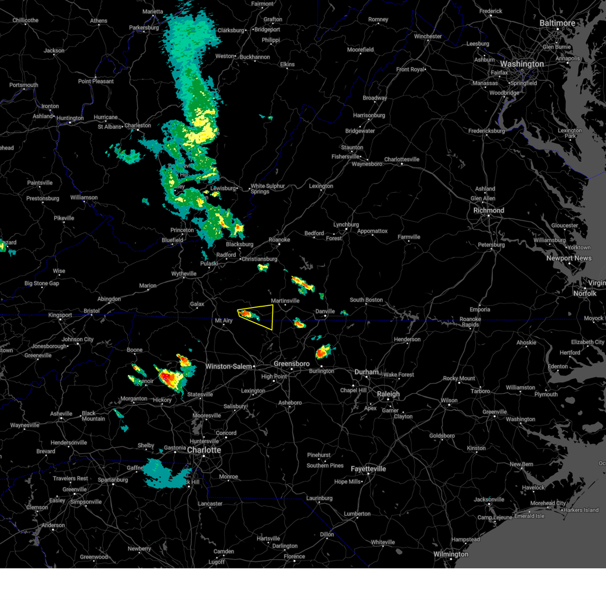 Svrrnk the national weather service in blacksburg has issued a * severe thunderstorm warning for, northeastern stokes county in north central north carolina, southwestern henry county in south central virginia, southeastern patrick county in southwestern virginia, * until 615 pm edt. * at 538 pm edt, a severe thunderstorm was located near stuart, moving east at 25 mph (radar indicated). Hazards include 60 mph wind gusts and quarter size hail. Hail damage to vehicles is expected. Expect wind damage to roofs, siding, and trees. Svrrnk the national weather service in blacksburg has issued a * severe thunderstorm warning for, northeastern stokes county in north central north carolina, southwestern henry county in south central virginia, southeastern patrick county in southwestern virginia, * until 615 pm edt. * at 538 pm edt, a severe thunderstorm was located near stuart, moving east at 25 mph (radar indicated). Hazards include 60 mph wind gusts and quarter size hail. Hail damage to vehicles is expected. Expect wind damage to roofs, siding, and trees.
|
| 5/6/2024 11:52 PM EDT |
 The storm which prompted the warning has weakened below severe limits, and no longer poses an immediate threat to life or property. therefore, the warning will be allowed to expire. however, gusty winds are still possible with this thunderstorm. The storm which prompted the warning has weakened below severe limits, and no longer poses an immediate threat to life or property. therefore, the warning will be allowed to expire. however, gusty winds are still possible with this thunderstorm.
|
| 5/6/2024 11:35 PM EDT |
 the severe thunderstorm warning has been cancelled and is no longer in effect the severe thunderstorm warning has been cancelled and is no longer in effect
|
| 5/6/2024 11:35 PM EDT |
 At 1135 pm edt, a severe thunderstorm was located over critz, or near spencer, moving northeast at 45 mph (radar indicated). Hazards include 60 mph wind gusts. Expect damage to roofs, siding, and trees. locations impacted include, martinsville, stuart, ferrum, spencer, bassett, woolwine, and sandy ridge. This includes the following locations the martinsville speedway and martinsville airport. At 1135 pm edt, a severe thunderstorm was located over critz, or near spencer, moving northeast at 45 mph (radar indicated). Hazards include 60 mph wind gusts. Expect damage to roofs, siding, and trees. locations impacted include, martinsville, stuart, ferrum, spencer, bassett, woolwine, and sandy ridge. This includes the following locations the martinsville speedway and martinsville airport.
|
| 5/6/2024 10:54 PM EDT |
 Svrrnk the national weather service in blacksburg has issued a * severe thunderstorm warning for, eastern surry county in northwestern north carolina, northern stokes county in north central north carolina, northwestern rockingham county in north central north carolina, southeastern floyd county in southwestern virginia, the city of martinsville in south central virginia, southeastern carroll county in southwestern virginia, henry county in south central virginia, patrick county in southwestern virginia, southwestern franklin county in west central virginia, * until midnight edt. * at 1053 pm edt, a severe thunderstorm was located over white plains, or near mount airy, moving northeast at 45 mph (radar indicated). Hazards include 60 mph wind gusts and quarter size hail. Hail damage to vehicles is expected. Expect wind damage to roofs, siding, and trees. Svrrnk the national weather service in blacksburg has issued a * severe thunderstorm warning for, eastern surry county in northwestern north carolina, northern stokes county in north central north carolina, northwestern rockingham county in north central north carolina, southeastern floyd county in southwestern virginia, the city of martinsville in south central virginia, southeastern carroll county in southwestern virginia, henry county in south central virginia, patrick county in southwestern virginia, southwestern franklin county in west central virginia, * until midnight edt. * at 1053 pm edt, a severe thunderstorm was located over white plains, or near mount airy, moving northeast at 45 mph (radar indicated). Hazards include 60 mph wind gusts and quarter size hail. Hail damage to vehicles is expected. Expect wind damage to roofs, siding, and trees.
|
| 4/11/2024 8:45 PM EDT |
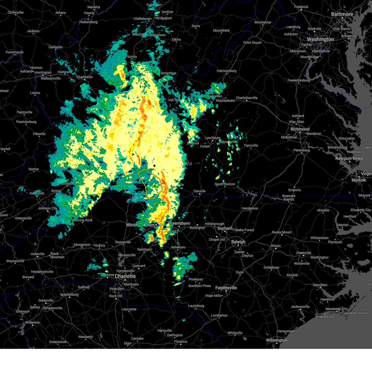 the severe thunderstorm warning has been cancelled and is no longer in effect the severe thunderstorm warning has been cancelled and is no longer in effect
|
| 4/11/2024 8:27 PM EDT |
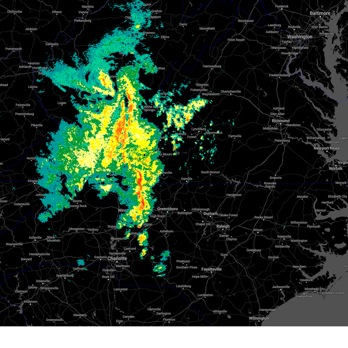 the severe thunderstorm warning has been cancelled and is no longer in effect the severe thunderstorm warning has been cancelled and is no longer in effect
|
| 4/11/2024 8:27 PM EDT |
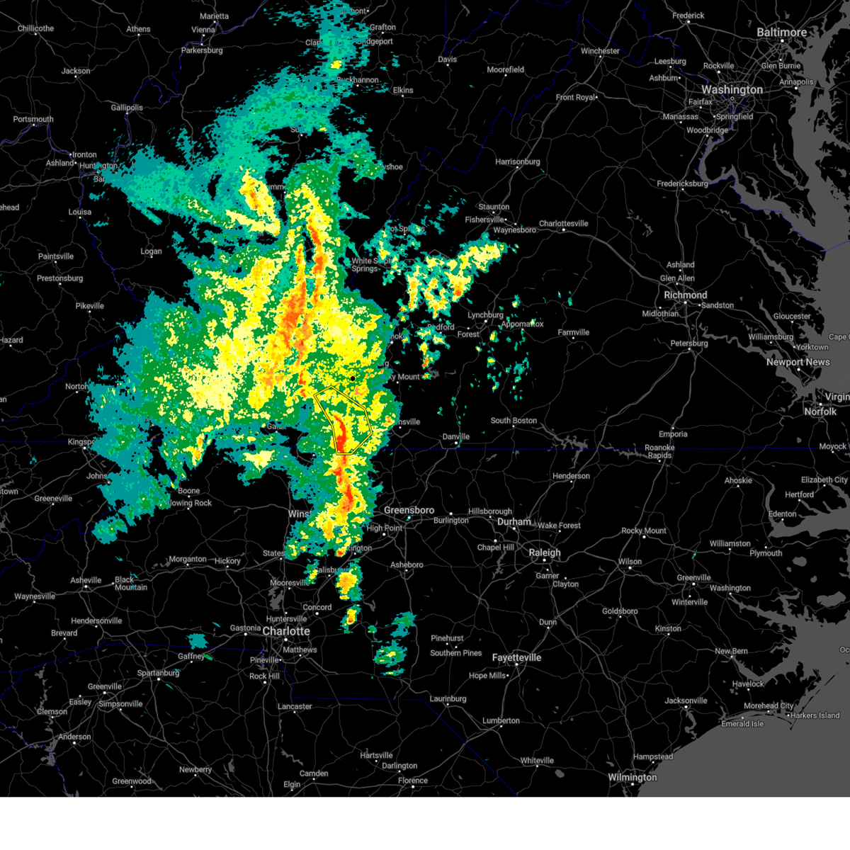 At 827 pm edt, severe thunderstorms were located along a line extending from near rocky knob summit to near buffalo ridge to near collinstown, moving northeast at 40 mph (radar indicated). Hazards include 60 mph wind gusts. Expect damage to roofs, siding, and trees. Locations impacted include, stuart, indian valley, woolwine, willis, critz, meadows of dan, and mabry mill. At 827 pm edt, severe thunderstorms were located along a line extending from near rocky knob summit to near buffalo ridge to near collinstown, moving northeast at 40 mph (radar indicated). Hazards include 60 mph wind gusts. Expect damage to roofs, siding, and trees. Locations impacted include, stuart, indian valley, woolwine, willis, critz, meadows of dan, and mabry mill.
|
| 4/11/2024 8:06 PM EDT |
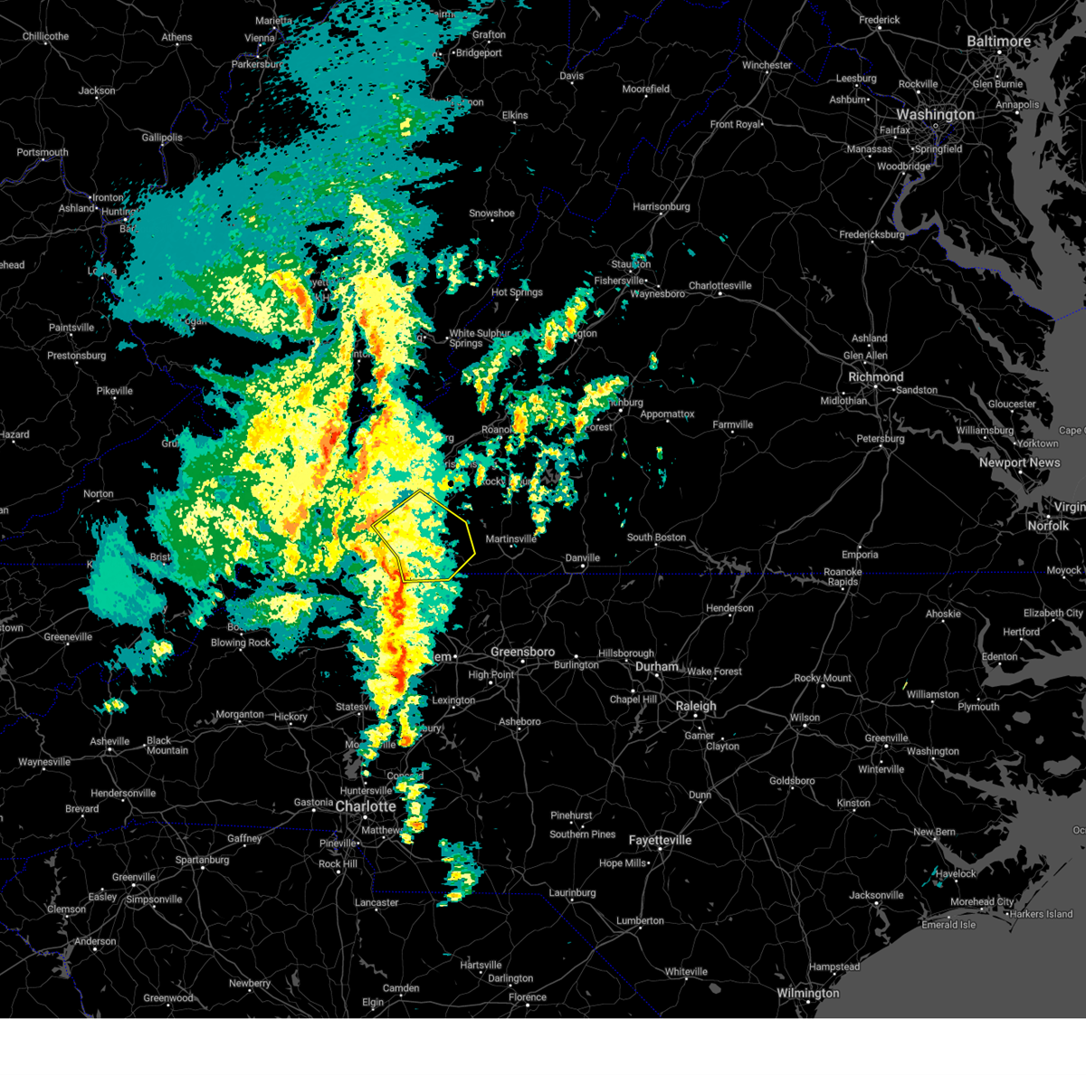 Svrrnk the national weather service in blacksburg has issued a * severe thunderstorm warning for, northeastern surry county in northwestern north carolina, northwestern stokes county in north central north carolina, southwestern floyd county in southwestern virginia, eastern carroll county in southwestern virginia, patrick county in southwestern virginia, * until 900 pm edt. * at 805 pm edt, severe thunderstorms were located along a line extending from near hillsville to near laurel fork to near ararat, moving northeast at 35 mph (radar indicated). Hazards include 60 mph wind gusts. expect damage to roofs, siding, and trees Svrrnk the national weather service in blacksburg has issued a * severe thunderstorm warning for, northeastern surry county in northwestern north carolina, northwestern stokes county in north central north carolina, southwestern floyd county in southwestern virginia, eastern carroll county in southwestern virginia, patrick county in southwestern virginia, * until 900 pm edt. * at 805 pm edt, severe thunderstorms were located along a line extending from near hillsville to near laurel fork to near ararat, moving northeast at 35 mph (radar indicated). Hazards include 60 mph wind gusts. expect damage to roofs, siding, and trees
|
| 9/9/2023 1:19 PM EDT |
 At 118 pm edt, a severe thunderstorm was located over critz, or 7 miles northwest of spencer, moving northeast at 10 mph (radar indicated). Hazards include quarter size hail. frequent dangerous cloud-to-ground lightning. very heavy rainfall. Damage to vehicles is expected. Minor flooding. At 118 pm edt, a severe thunderstorm was located over critz, or 7 miles northwest of spencer, moving northeast at 10 mph (radar indicated). Hazards include quarter size hail. frequent dangerous cloud-to-ground lightning. very heavy rainfall. Damage to vehicles is expected. Minor flooding.
|
| 9/9/2023 12:57 PM EDT |
Thunderstorm winds blew down one tree along nowlin lane close to where the road end in patrick county VA, 4.3 miles NW of Stuart, VA
|
| 9/9/2023 12:52 PM EDT |
Thunderstorm winds blew down one tree near the intersection of ayers orchard road and clark house farm roa in patrick county VA, 6 miles NW of Stuart, VA
|
| 8/12/2023 6:41 PM EDT |
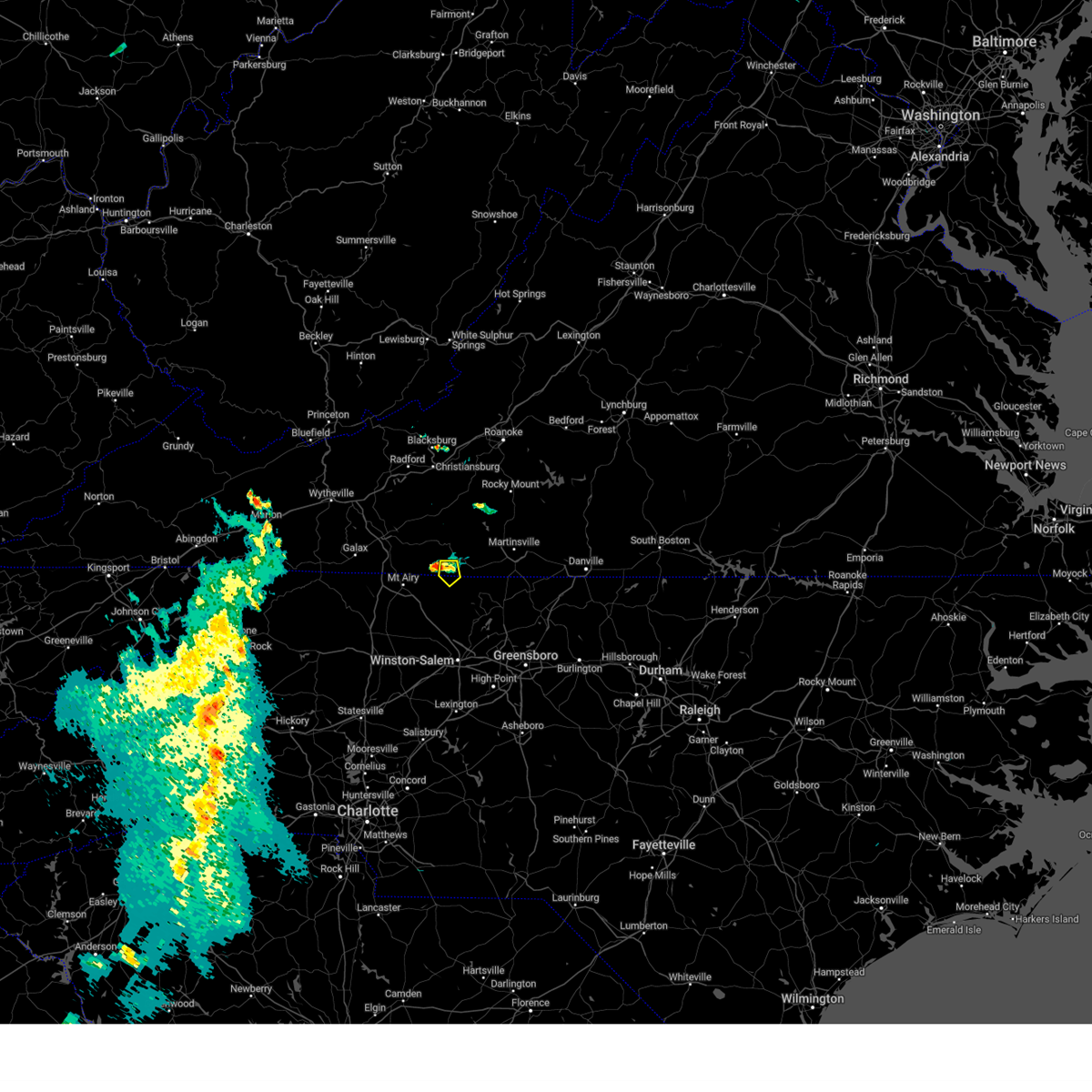 At 641 pm edt, a severe thunderstorm was located near collinstown, or near stuart, moving east at 15 mph (radar indicated). Hazards include 60 mph wind gusts and quarter size hail. Hail damage to vehicles is expected. expect wind damage to roofs, siding, and trees. locations impacted include, collinstown. hail threat, radar indicated max hail size, 1. 00 in wind threat, radar indicated max wind gust, 60 mph. At 641 pm edt, a severe thunderstorm was located near collinstown, or near stuart, moving east at 15 mph (radar indicated). Hazards include 60 mph wind gusts and quarter size hail. Hail damage to vehicles is expected. expect wind damage to roofs, siding, and trees. locations impacted include, collinstown. hail threat, radar indicated max hail size, 1. 00 in wind threat, radar indicated max wind gust, 60 mph.
|
| 8/12/2023 6:41 PM EDT |
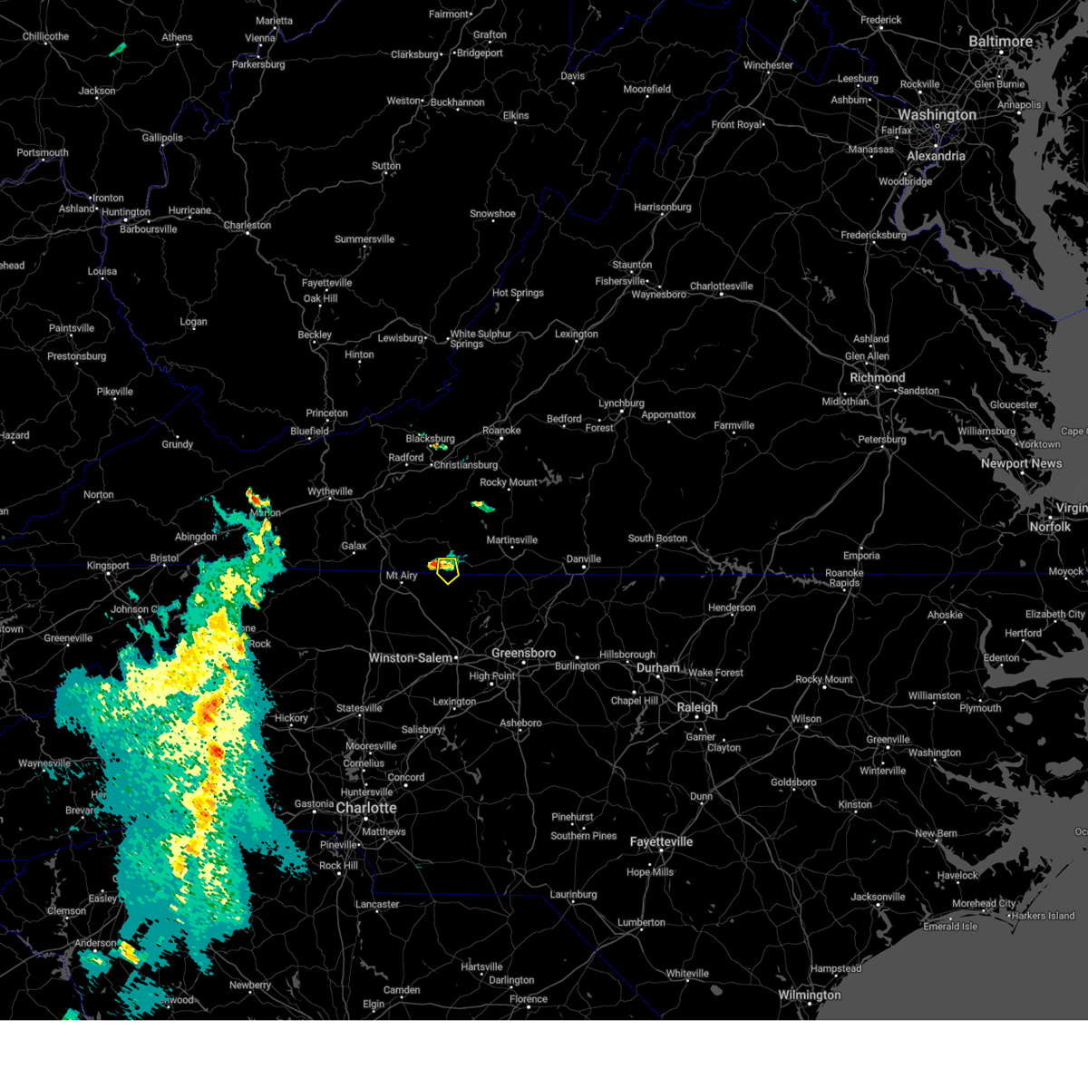 At 641 pm edt, a severe thunderstorm was located near collinstown, or near stuart, moving east at 15 mph (radar indicated). Hazards include 60 mph wind gusts and quarter size hail. Hail damage to vehicles is expected. expect wind damage to roofs, siding, and trees. locations impacted include, collinstown. hail threat, radar indicated max hail size, 1. 00 in wind threat, radar indicated max wind gust, 60 mph. At 641 pm edt, a severe thunderstorm was located near collinstown, or near stuart, moving east at 15 mph (radar indicated). Hazards include 60 mph wind gusts and quarter size hail. Hail damage to vehicles is expected. expect wind damage to roofs, siding, and trees. locations impacted include, collinstown. hail threat, radar indicated max hail size, 1. 00 in wind threat, radar indicated max wind gust, 60 mph.
|
| 8/12/2023 6:22 PM EDT |
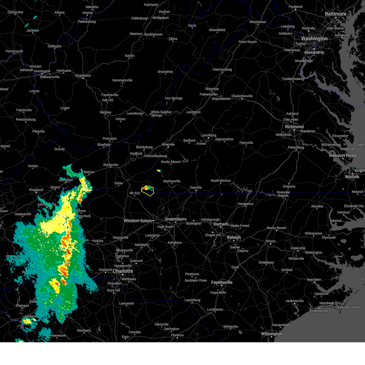 At 621 pm edt, a severe thunderstorm was located near ararat, moving east at 10 mph (radar indicated). Hazards include 60 mph wind gusts and quarter size hail. Hail damage to vehicles is expected. Expect wind damage to roofs, siding, and trees. At 621 pm edt, a severe thunderstorm was located near ararat, moving east at 10 mph (radar indicated). Hazards include 60 mph wind gusts and quarter size hail. Hail damage to vehicles is expected. Expect wind damage to roofs, siding, and trees.
|
| 8/12/2023 6:22 PM EDT |
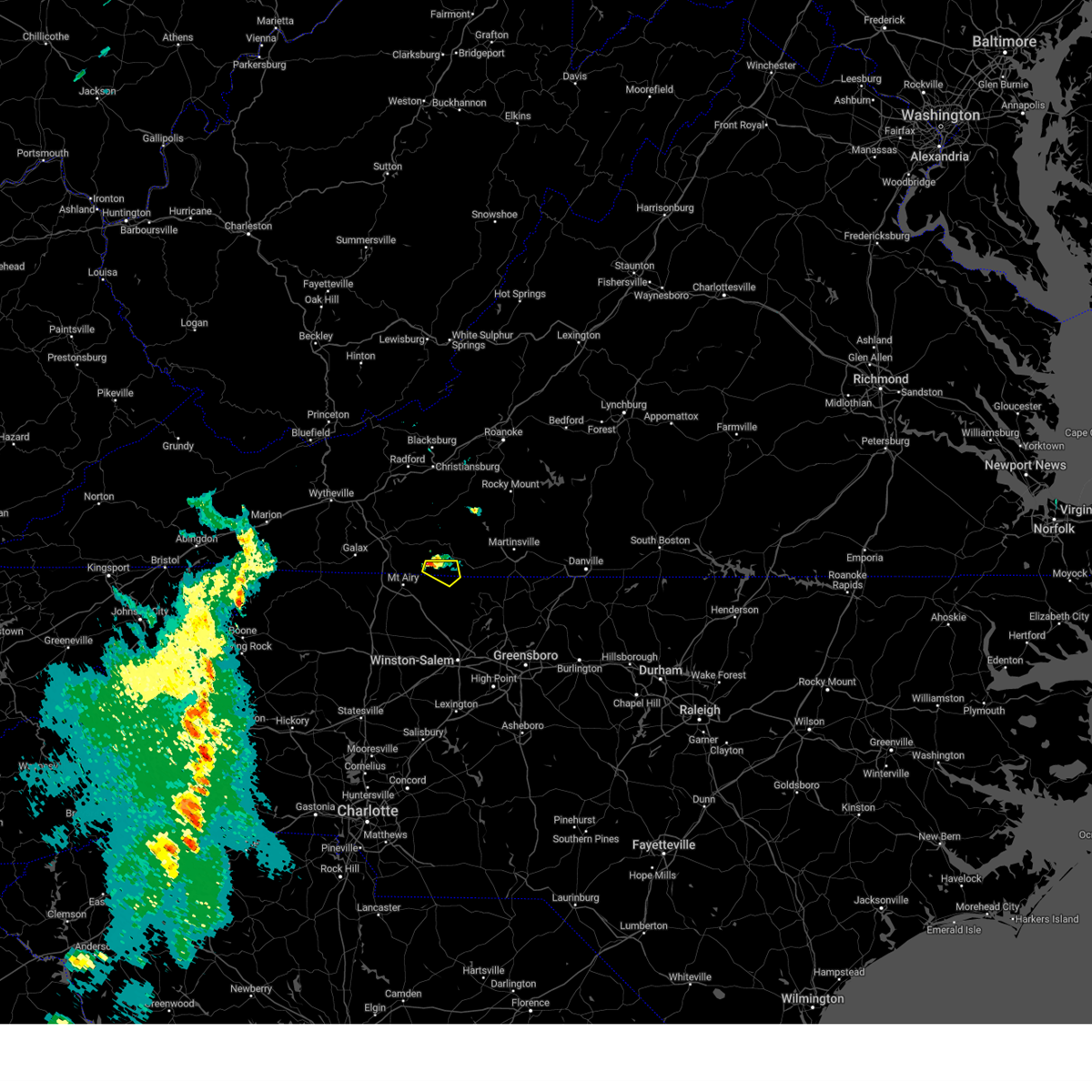 At 621 pm edt, a severe thunderstorm was located near ararat, moving east at 10 mph (radar indicated). Hazards include 60 mph wind gusts and quarter size hail. Hail damage to vehicles is expected. Expect wind damage to roofs, siding, and trees. At 621 pm edt, a severe thunderstorm was located near ararat, moving east at 10 mph (radar indicated). Hazards include 60 mph wind gusts and quarter size hail. Hail damage to vehicles is expected. Expect wind damage to roofs, siding, and trees.
|
| 8/7/2023 4:57 PM EDT |
 At 457 pm edt, a severe thunderstorm was located near patrick springs, or near stuart, moving east at 40 mph (radar indicated). Hazards include 60 mph wind gusts and quarter size hail. Hail damage to vehicles is expected. Expect wind damage to roofs, siding, and trees. At 457 pm edt, a severe thunderstorm was located near patrick springs, or near stuart, moving east at 40 mph (radar indicated). Hazards include 60 mph wind gusts and quarter size hail. Hail damage to vehicles is expected. Expect wind damage to roofs, siding, and trees.
|
| 8/7/2023 4:57 PM EDT |
 At 457 pm edt, a severe thunderstorm was located near patrick springs, or near stuart, moving east at 40 mph (radar indicated). Hazards include 60 mph wind gusts and quarter size hail. Hail damage to vehicles is expected. Expect wind damage to roofs, siding, and trees. At 457 pm edt, a severe thunderstorm was located near patrick springs, or near stuart, moving east at 40 mph (radar indicated). Hazards include 60 mph wind gusts and quarter size hail. Hail damage to vehicles is expected. Expect wind damage to roofs, siding, and trees.
|
| 8/7/2023 4:54 PM EDT |
Multiple trees were blown down across the southern end of the community of stuart by thunderstorm wind in patrick county VA, 2.9 miles NNE of Stuart, VA
|
| 8/7/2023 4:38 PM EDT |
Multiple trees were blown down in the community of claudville by thunderstorm wind in patrick county VA, 9.3 miles ENE of Stuart, VA
|
|
|
| 7/29/2023 5:33 PM EDT |
 At 532 pm edt, a severe thunderstorm was located near patrick springs, or near stuart, moving east at 30 mph (radar indicated). Hazards include 60 mph wind gusts. expect damage to roofs, siding, and trees At 532 pm edt, a severe thunderstorm was located near patrick springs, or near stuart, moving east at 30 mph (radar indicated). Hazards include 60 mph wind gusts. expect damage to roofs, siding, and trees
|
| 7/29/2023 5:33 PM EDT |
 At 532 pm edt, a severe thunderstorm was located near patrick springs, or near stuart, moving east at 30 mph (radar indicated). Hazards include 60 mph wind gusts. expect damage to roofs, siding, and trees At 532 pm edt, a severe thunderstorm was located near patrick springs, or near stuart, moving east at 30 mph (radar indicated). Hazards include 60 mph wind gusts. expect damage to roofs, siding, and trees
|
| 7/28/2023 6:42 PM EDT |
 The severe thunderstorm warning for east central craig, floyd, northwestern bedford, carroll, northwestern henry, patrick and franklin counties and the city of galax will expire at 645 pm edt, the storms which prompted the warning have moved out of the area. therefore, the warning will be allowed to expire. a severe thunderstorm watch remains in effect until 1100 pm edt for southwestern and west central virginia, and southeastern west virginia. The severe thunderstorm warning for east central craig, floyd, northwestern bedford, carroll, northwestern henry, patrick and franklin counties and the city of galax will expire at 645 pm edt, the storms which prompted the warning have moved out of the area. therefore, the warning will be allowed to expire. a severe thunderstorm watch remains in effect until 1100 pm edt for southwestern and west central virginia, and southeastern west virginia.
|
| 7/28/2023 6:35 PM EDT |
 At 634 pm edt, severe thunderstorms were located along a line extending from near montvale to near ferrum to near charity to rocky knob recreation area, moving southwest at 10 mph (radar indicated). Hazards include 60 mph wind gusts. Expect damage to roofs, siding, and trees. locations impacted include, roanoke, salem, vinton, galax, bedford, rocky mount, and hillsville. this includes the following locations the salem fairgrounds, the national d-day memorial, and roanoke regional airport. hail threat, radar indicated max hail size, <. 75 in wind threat, radar indicated max wind gust, 60 mph. At 634 pm edt, severe thunderstorms were located along a line extending from near montvale to near ferrum to near charity to rocky knob recreation area, moving southwest at 10 mph (radar indicated). Hazards include 60 mph wind gusts. Expect damage to roofs, siding, and trees. locations impacted include, roanoke, salem, vinton, galax, bedford, rocky mount, and hillsville. this includes the following locations the salem fairgrounds, the national d-day memorial, and roanoke regional airport. hail threat, radar indicated max hail size, <. 75 in wind threat, radar indicated max wind gust, 60 mph.
|
| 7/28/2023 6:22 PM EDT |
 At 622 pm edt, severe thunderstorms were located along a line extending from rocky mount to near buffalo ridge to near gladesboro, moving southeast at 40 mph (radar indicated). Hazards include 60 mph wind gusts. expect damage to roofs, siding, and trees At 622 pm edt, severe thunderstorms were located along a line extending from rocky mount to near buffalo ridge to near gladesboro, moving southeast at 40 mph (radar indicated). Hazards include 60 mph wind gusts. expect damage to roofs, siding, and trees
|
| 7/28/2023 6:22 PM EDT |
 At 622 pm edt, severe thunderstorms were located along a line extending from rocky mount to near buffalo ridge to near gladesboro, moving southeast at 40 mph (radar indicated). Hazards include 60 mph wind gusts. expect damage to roofs, siding, and trees At 622 pm edt, severe thunderstorms were located along a line extending from rocky mount to near buffalo ridge to near gladesboro, moving southeast at 40 mph (radar indicated). Hazards include 60 mph wind gusts. expect damage to roofs, siding, and trees
|
| 7/28/2023 5:33 PM EDT |
 At 533 pm edt, severe thunderstorms were located along a line extending from new castle to near crockett springs to near claytor lake state park to allisonia, moving east at 50 mph (radar indicated). Hazards include 60 mph wind gusts. expect damage to roofs, siding, and trees At 533 pm edt, severe thunderstorms were located along a line extending from new castle to near crockett springs to near claytor lake state park to allisonia, moving east at 50 mph (radar indicated). Hazards include 60 mph wind gusts. expect damage to roofs, siding, and trees
|
| 7/23/2023 2:35 PM EDT |
Trees dow in patrick county VA, 1.1 miles NW of Stuart, VA
|
| 7/23/2023 2:30 PM EDT |
Multiple reports of trees down in stuar in patrick county VA, 0.3 miles E of Stuart, VA
|
| 7/23/2023 2:29 PM EDT |
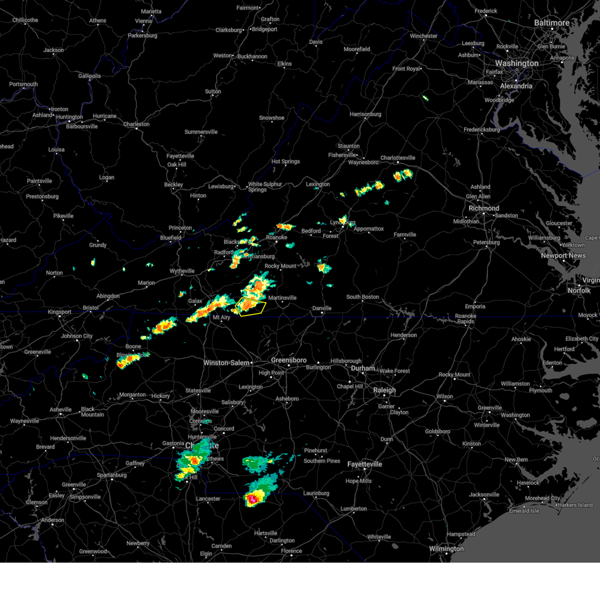 At 228 pm edt, a severe thunderstorm was located over stuart, moving east at 15 mph (radar indicated). Hazards include 60 mph wind gusts and quarter size hail. Hail damage to vehicles is expected. expect wind damage to roofs, siding, and trees. locations impacted include, stuart, patrick springs, and critz. hail threat, radar indicated max hail size, 1. 00 in wind threat, radar indicated max wind gust, 60 mph. At 228 pm edt, a severe thunderstorm was located over stuart, moving east at 15 mph (radar indicated). Hazards include 60 mph wind gusts and quarter size hail. Hail damage to vehicles is expected. expect wind damage to roofs, siding, and trees. locations impacted include, stuart, patrick springs, and critz. hail threat, radar indicated max hail size, 1. 00 in wind threat, radar indicated max wind gust, 60 mph.
|
| 7/23/2023 2:28 PM EDT |
Tree dow in patrick county VA, 3.7 miles NE of Stuart, VA
|
| 7/23/2023 2:07 PM EDT |
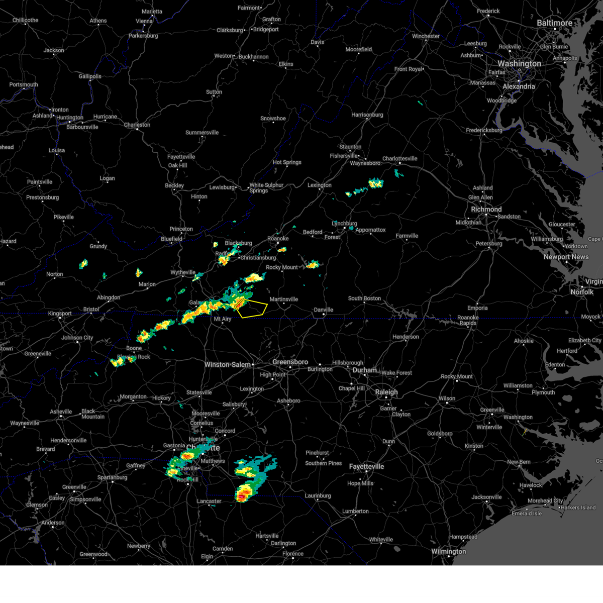 At 207 pm edt, a severe thunderstorm was located near stuart, moving southeast at 20 mph (radar indicated). Hazards include 60 mph wind gusts and quarter size hail. Hail damage to vehicles is expected. Expect wind damage to roofs, siding, and trees. At 207 pm edt, a severe thunderstorm was located near stuart, moving southeast at 20 mph (radar indicated). Hazards include 60 mph wind gusts and quarter size hail. Hail damage to vehicles is expected. Expect wind damage to roofs, siding, and trees.
|
| 6/19/2023 12:39 PM EDT |
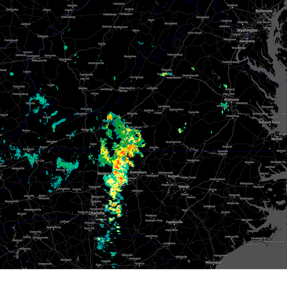 The severe thunderstorm warning for northern stokes and southeastern patrick counties will expire at 1245 pm edt, the storm which prompted the warning has weakened below severe limits, and no longer poses an immediate threat to life or property. therefore, the warning will be allowed to expire. however gusty winds and heavy rain are still possible with this thunderstorm. The severe thunderstorm warning for northern stokes and southeastern patrick counties will expire at 1245 pm edt, the storm which prompted the warning has weakened below severe limits, and no longer poses an immediate threat to life or property. therefore, the warning will be allowed to expire. however gusty winds and heavy rain are still possible with this thunderstorm.
|
| 6/19/2023 12:39 PM EDT |
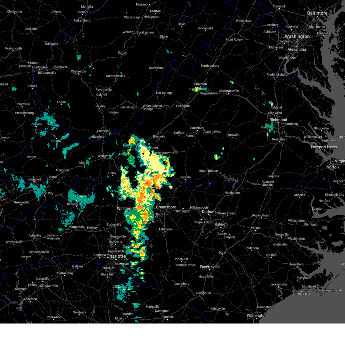 The severe thunderstorm warning for northern stokes and southeastern patrick counties will expire at 1245 pm edt, the storm which prompted the warning has weakened below severe limits, and no longer poses an immediate threat to life or property. therefore, the warning will be allowed to expire. however gusty winds and heavy rain are still possible with this thunderstorm. The severe thunderstorm warning for northern stokes and southeastern patrick counties will expire at 1245 pm edt, the storm which prompted the warning has weakened below severe limits, and no longer poses an immediate threat to life or property. therefore, the warning will be allowed to expire. however gusty winds and heavy rain are still possible with this thunderstorm.
|
| 6/19/2023 12:16 PM EDT |
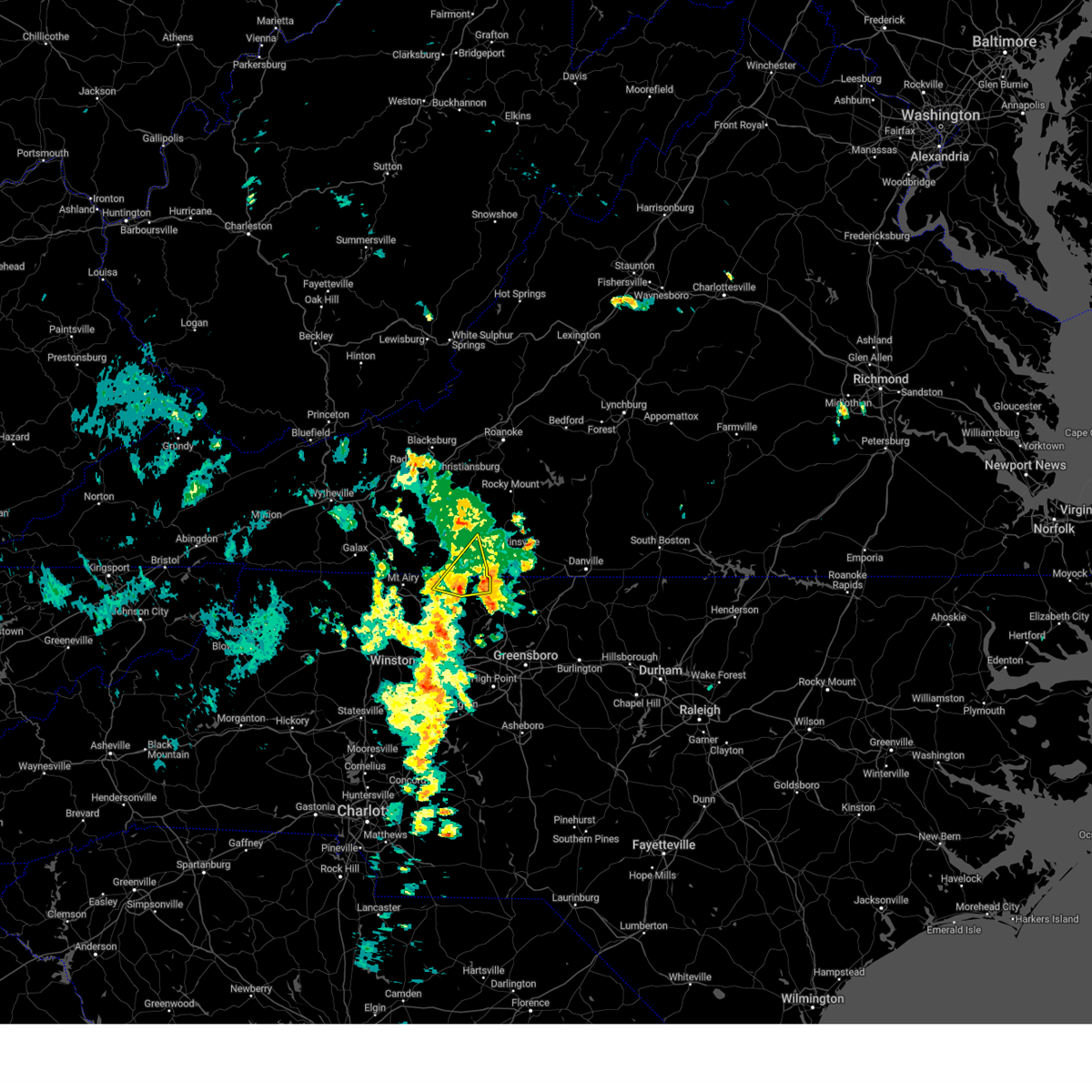 At 1215 pm edt, a severe thunderstorm was located near sandy ridge, moving northeast at 15 mph (radar indicated). Hazards include 60 mph wind gusts. Expect damage to roofs, siding, and trees. locations impacted include, francisco, sandy ridge, penns store, critz, collinstown, prestonville, and ayersville. hail threat, radar indicated max hail size, <. 75 in wind threat, radar indicated max wind gust, 60 mph. At 1215 pm edt, a severe thunderstorm was located near sandy ridge, moving northeast at 15 mph (radar indicated). Hazards include 60 mph wind gusts. Expect damage to roofs, siding, and trees. locations impacted include, francisco, sandy ridge, penns store, critz, collinstown, prestonville, and ayersville. hail threat, radar indicated max hail size, <. 75 in wind threat, radar indicated max wind gust, 60 mph.
|
| 6/19/2023 12:16 PM EDT |
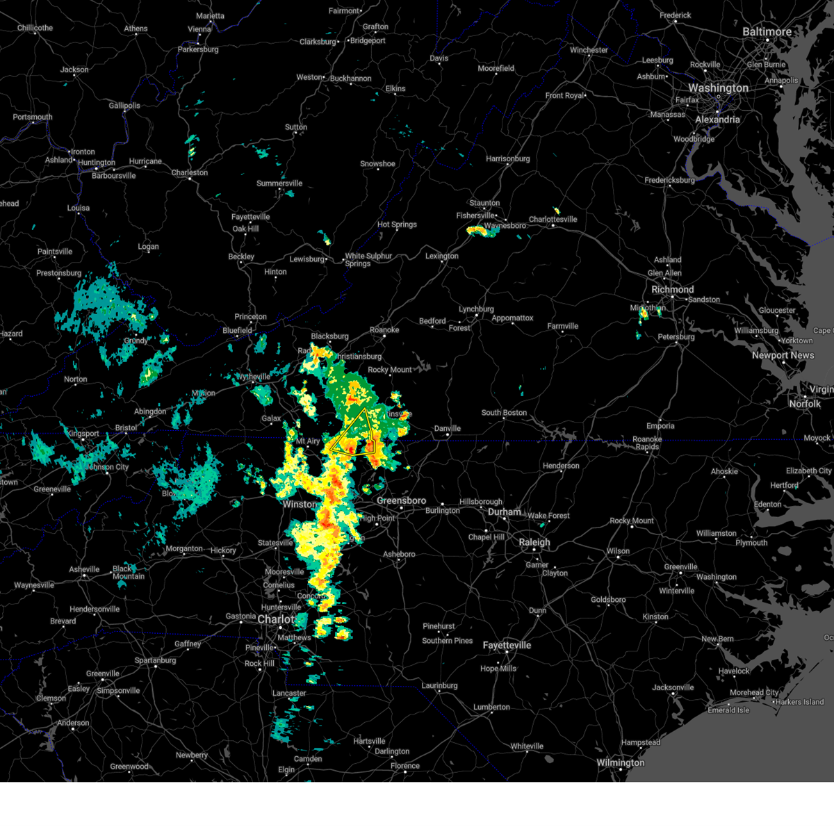 At 1215 pm edt, a severe thunderstorm was located near sandy ridge, moving northeast at 15 mph (radar indicated). Hazards include 60 mph wind gusts. Expect damage to roofs, siding, and trees. locations impacted include, francisco, sandy ridge, penns store, critz, collinstown, prestonville, and ayersville. hail threat, radar indicated max hail size, <. 75 in wind threat, radar indicated max wind gust, 60 mph. At 1215 pm edt, a severe thunderstorm was located near sandy ridge, moving northeast at 15 mph (radar indicated). Hazards include 60 mph wind gusts. Expect damage to roofs, siding, and trees. locations impacted include, francisco, sandy ridge, penns store, critz, collinstown, prestonville, and ayersville. hail threat, radar indicated max hail size, <. 75 in wind threat, radar indicated max wind gust, 60 mph.
|
| 6/19/2023 12:00 PM EDT |
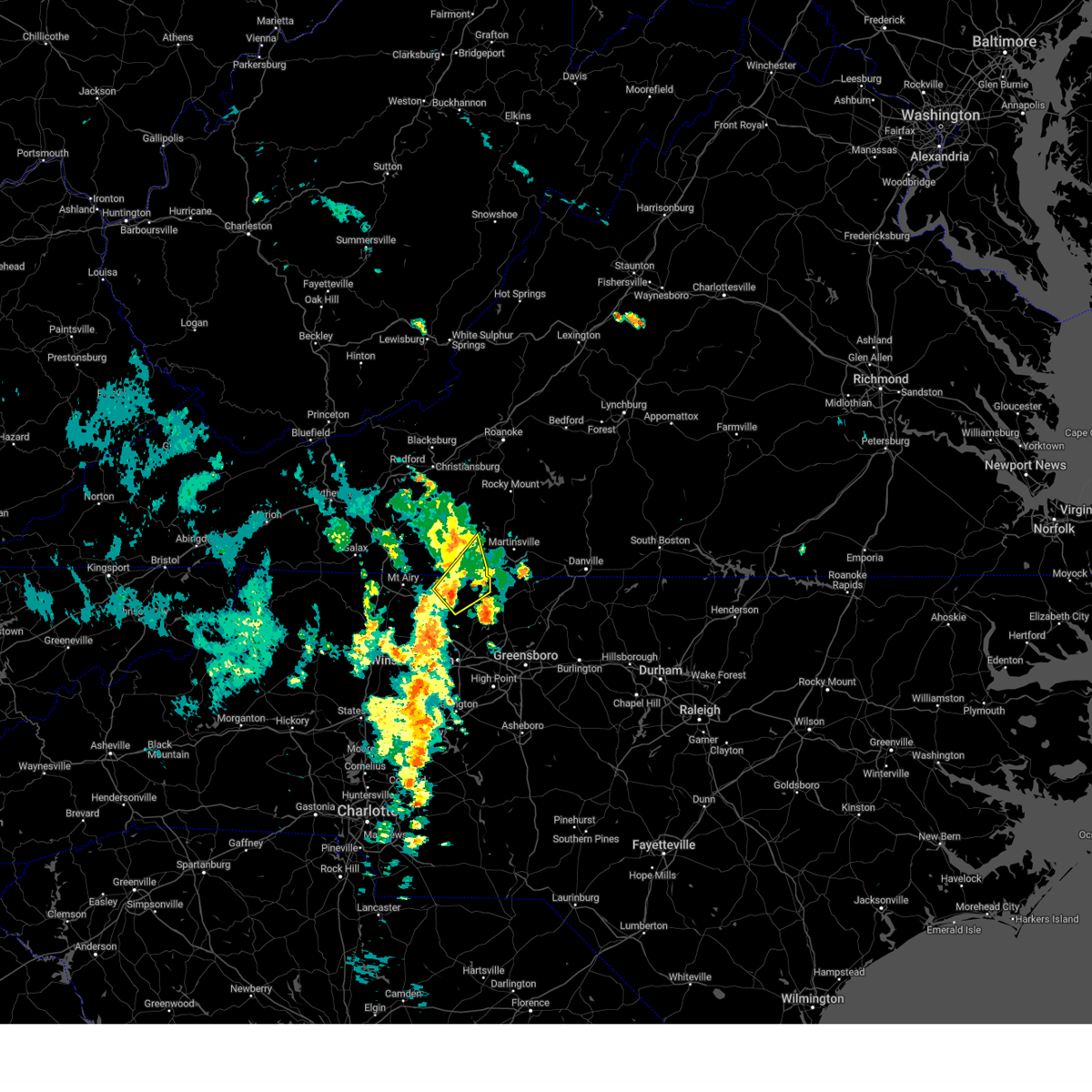 At 1200 pm edt, a severe thunderstorm was located near danbury, moving northeast at 15 mph (radar indicated). Hazards include 60 mph wind gusts and quarter size hail. Hail damage to vehicles is expected. Expect wind damage to roofs, siding, and trees. At 1200 pm edt, a severe thunderstorm was located near danbury, moving northeast at 15 mph (radar indicated). Hazards include 60 mph wind gusts and quarter size hail. Hail damage to vehicles is expected. Expect wind damage to roofs, siding, and trees.
|
| 6/19/2023 12:00 PM EDT |
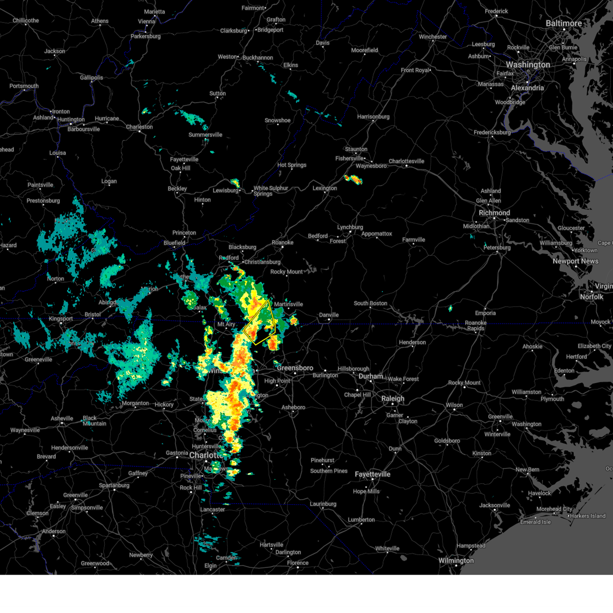 At 1200 pm edt, a severe thunderstorm was located near danbury, moving northeast at 15 mph (radar indicated). Hazards include 60 mph wind gusts and quarter size hail. Hail damage to vehicles is expected. Expect wind damage to roofs, siding, and trees. At 1200 pm edt, a severe thunderstorm was located near danbury, moving northeast at 15 mph (radar indicated). Hazards include 60 mph wind gusts and quarter size hail. Hail damage to vehicles is expected. Expect wind damage to roofs, siding, and trees.
|
| 5/16/2023 8:26 PM EDT |
 At 826 pm edt, severe thunderstorms were located along a line extending from near straightstone to draper, moving east at 55 mph (radar indicated). Hazards include 60 mph wind gusts. Expect damage to roofs, siding, and trees. locations impacted include, martinsville, hurt, chatham, gretna, axton, mt airy, and spencer. this includes the following locations the martinsville speedway and martinsville airport. hail threat, radar indicated max hail size, <. 75 in wind threat, radar indicated max wind gust, 60 mph. At 826 pm edt, severe thunderstorms were located along a line extending from near straightstone to draper, moving east at 55 mph (radar indicated). Hazards include 60 mph wind gusts. Expect damage to roofs, siding, and trees. locations impacted include, martinsville, hurt, chatham, gretna, axton, mt airy, and spencer. this includes the following locations the martinsville speedway and martinsville airport. hail threat, radar indicated max hail size, <. 75 in wind threat, radar indicated max wind gust, 60 mph.
|
| 5/16/2023 8:11 PM EDT |
 At 811 pm edt, severe thunderstorms were located along a line extending from near hurt to near price, moving east at 60 mph (radar indicated). Hazards include 70 mph wind gusts. Expect considerable tree damage. damage is likely to mobile homes, roofs, and outbuildings. locations impacted include, martinsville, stuart, hurt, chatham, gretna, penhook, and ararat. this includes the following locations the martinsville speedway and martinsville airport. thunderstorm damage threat, considerable hail threat, radar indicated max hail size, <. 75 in wind threat, radar indicated max wind gust, 70 mph. At 811 pm edt, severe thunderstorms were located along a line extending from near hurt to near price, moving east at 60 mph (radar indicated). Hazards include 70 mph wind gusts. Expect considerable tree damage. damage is likely to mobile homes, roofs, and outbuildings. locations impacted include, martinsville, stuart, hurt, chatham, gretna, penhook, and ararat. this includes the following locations the martinsville speedway and martinsville airport. thunderstorm damage threat, considerable hail threat, radar indicated max hail size, <. 75 in wind threat, radar indicated max wind gust, 70 mph.
|
| 5/16/2023 7:58 PM EDT |
Several trees were blown down in multiple locations around the town of stuar in patrick county VA, 1.1 miles NE of Stuart, VA
|
| 5/16/2023 7:54 PM EDT |
Numerous trees were blown down near the intersection of jeb stuart highway and trot valley road. a nearby personal weather station recorded a 52 mph wind gust at the ti in patrick county VA, 4.4 miles SSE of Stuart, VA
|
| 5/16/2023 7:40 PM EDT |
 At 739 pm edt, severe thunderstorms were located along a line extending from near wirtz to near ararat, moving east at 55 mph (radar indicated). Hazards include 60 mph wind gusts. expect damage to roofs, siding, and trees At 739 pm edt, severe thunderstorms were located along a line extending from near wirtz to near ararat, moving east at 55 mph (radar indicated). Hazards include 60 mph wind gusts. expect damage to roofs, siding, and trees
|
| 5/16/2023 7:33 PM EDT |
Several trees were blown down in multiple locations around the community of meadows of da in patrick county VA, 10.6 miles SE of Stuart, VA
|
| 5/16/2023 7:23 PM EDT |
 At 723 pm edt, a severe thunderstorm was located near stuart, moving east at 50 mph (radar indicated). Hazards include 60 mph wind gusts and quarter size hail. Hail damage to vehicles is expected. expect wind damage to roofs, siding, and trees. locations impacted include, mount airy, fairview, flat rock, dobson, pilot mountain, stuart, and francisco. hail threat, radar indicated max hail size, 1. 00 in wind threat, radar indicated max wind gust, 60 mph. At 723 pm edt, a severe thunderstorm was located near stuart, moving east at 50 mph (radar indicated). Hazards include 60 mph wind gusts and quarter size hail. Hail damage to vehicles is expected. expect wind damage to roofs, siding, and trees. locations impacted include, mount airy, fairview, flat rock, dobson, pilot mountain, stuart, and francisco. hail threat, radar indicated max hail size, 1. 00 in wind threat, radar indicated max wind gust, 60 mph.
|
|
|
| 5/16/2023 7:23 PM EDT |
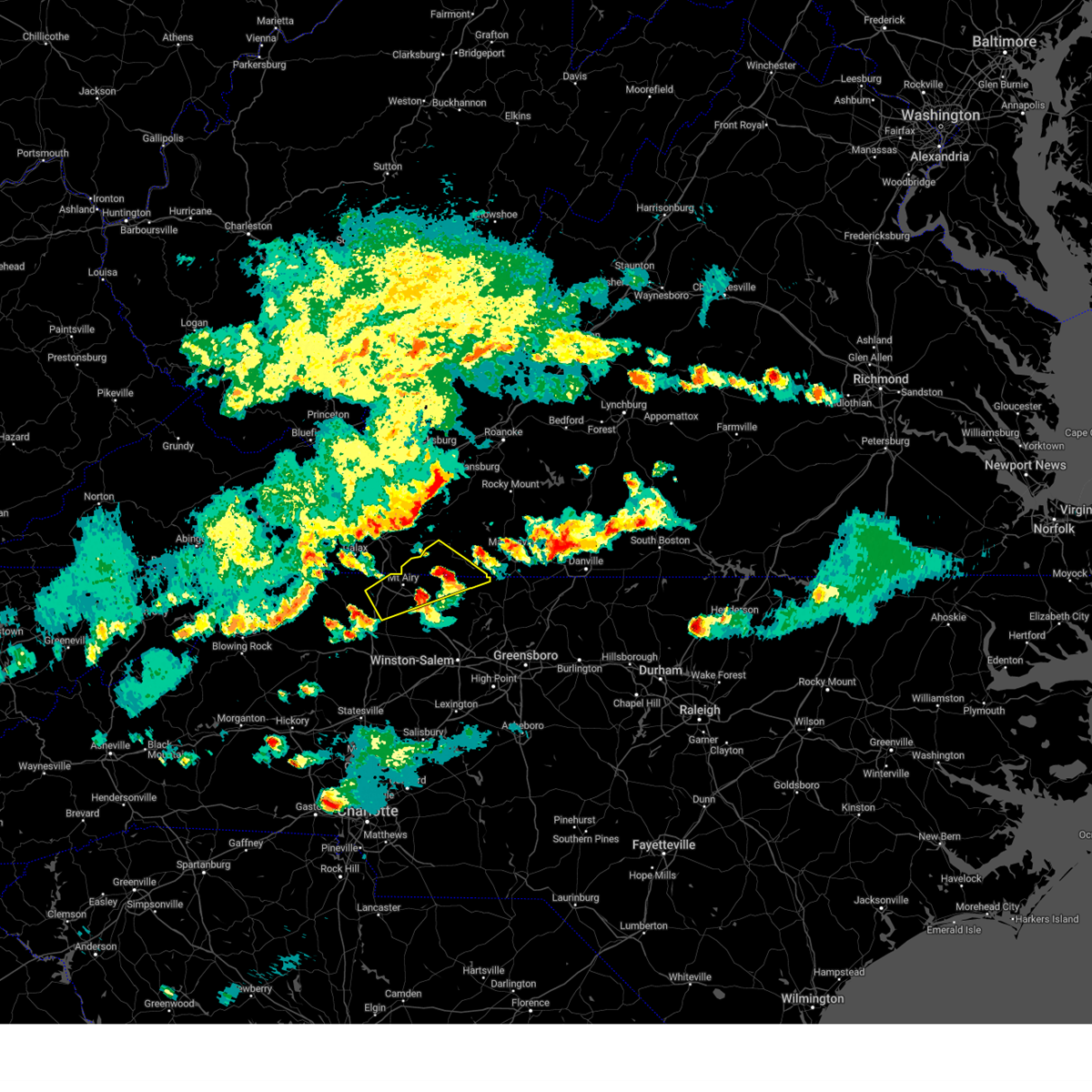 At 723 pm edt, a severe thunderstorm was located near stuart, moving east at 50 mph (radar indicated). Hazards include 60 mph wind gusts and quarter size hail. Hail damage to vehicles is expected. expect wind damage to roofs, siding, and trees. locations impacted include, mount airy, fairview, flat rock, dobson, pilot mountain, stuart, and francisco. hail threat, radar indicated max hail size, 1. 00 in wind threat, radar indicated max wind gust, 60 mph. At 723 pm edt, a severe thunderstorm was located near stuart, moving east at 50 mph (radar indicated). Hazards include 60 mph wind gusts and quarter size hail. Hail damage to vehicles is expected. expect wind damage to roofs, siding, and trees. locations impacted include, mount airy, fairview, flat rock, dobson, pilot mountain, stuart, and francisco. hail threat, radar indicated max hail size, 1. 00 in wind threat, radar indicated max wind gust, 60 mph.
|
| 5/16/2023 7:18 PM EDT |
Half Dollar sized hail reported 5.5 miles NE of Stuart, VA
|
| 5/16/2023 6:52 PM EDT |
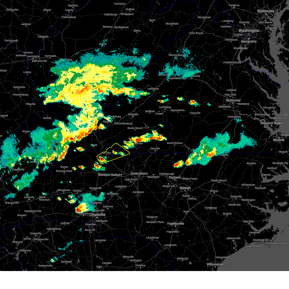 At 651 pm edt, a severe thunderstorm was located over dobson, moving northeast at 40 mph (radar indicated). Hazards include 60 mph wind gusts and quarter size hail. Hail damage to vehicles is expected. Expect wind damage to roofs, siding, and trees. At 651 pm edt, a severe thunderstorm was located over dobson, moving northeast at 40 mph (radar indicated). Hazards include 60 mph wind gusts and quarter size hail. Hail damage to vehicles is expected. Expect wind damage to roofs, siding, and trees.
|
| 5/16/2023 6:52 PM EDT |
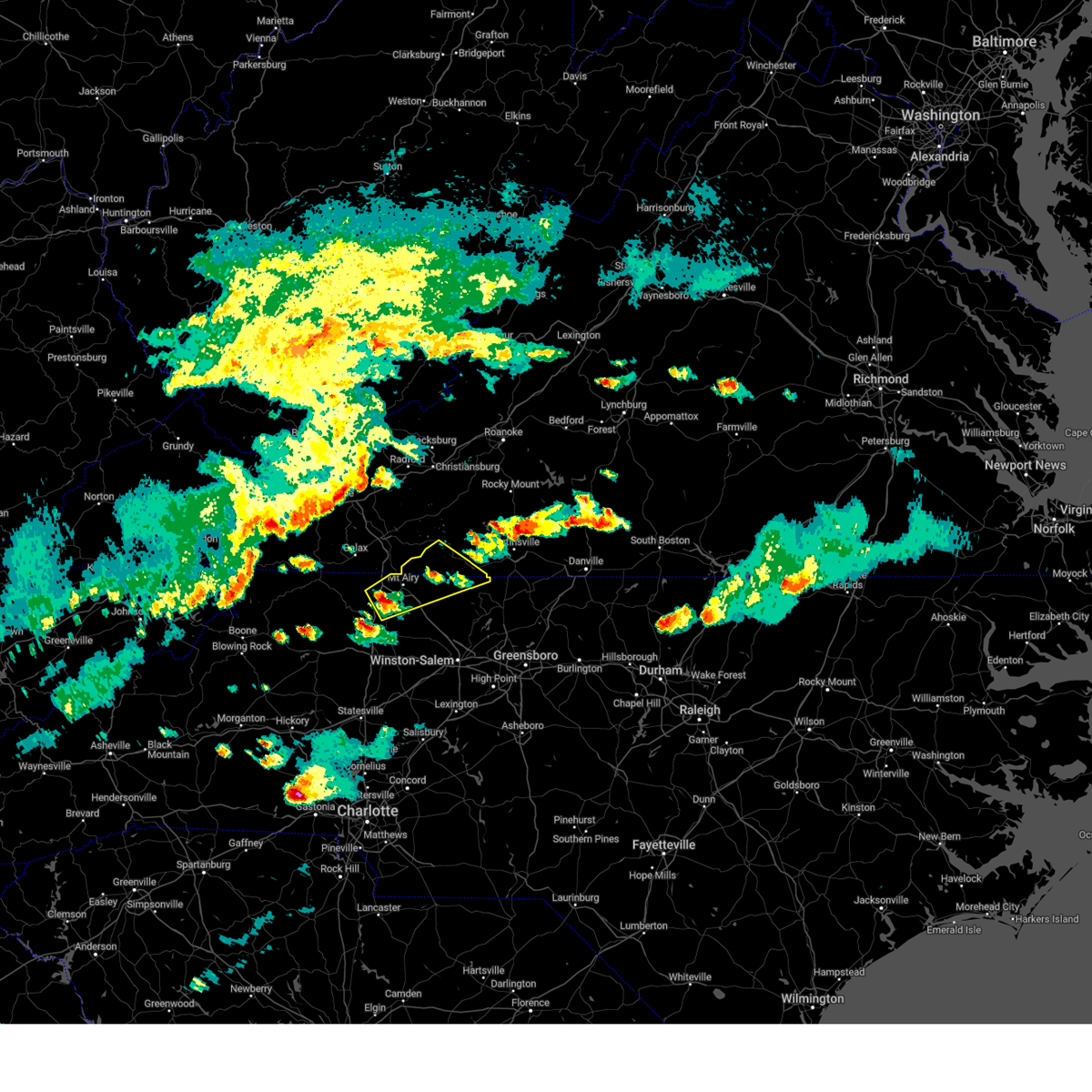 At 651 pm edt, a severe thunderstorm was located over dobson, moving northeast at 40 mph (radar indicated). Hazards include 60 mph wind gusts and quarter size hail. Hail damage to vehicles is expected. Expect wind damage to roofs, siding, and trees. At 651 pm edt, a severe thunderstorm was located over dobson, moving northeast at 40 mph (radar indicated). Hazards include 60 mph wind gusts and quarter size hail. Hail damage to vehicles is expected. Expect wind damage to roofs, siding, and trees.
|
| 4/22/2023 8:40 AM EDT |
 At 839 am edt, a severe thunderstorm was located near fairy stone state park, or 9 miles northwest of bassett, moving northeast at 60 mph (radar indicated). Hazards include 60 mph wind gusts. Expect damage to roofs, siding, and trees. locations impacted include, martinsville, rocky mount, stuart, floyd, boones mill, copper hill, and ferrum. this includes the following locations the martinsville speedway and martinsville airport. hail threat, radar indicated max hail size, <. 75 in wind threat, radar indicated max wind gust, 60 mph. At 839 am edt, a severe thunderstorm was located near fairy stone state park, or 9 miles northwest of bassett, moving northeast at 60 mph (radar indicated). Hazards include 60 mph wind gusts. Expect damage to roofs, siding, and trees. locations impacted include, martinsville, rocky mount, stuart, floyd, boones mill, copper hill, and ferrum. this includes the following locations the martinsville speedway and martinsville airport. hail threat, radar indicated max hail size, <. 75 in wind threat, radar indicated max wind gust, 60 mph.
|
| 4/22/2023 8:40 AM EDT |
 At 839 am edt, a severe thunderstorm was located near fairy stone state park, or 9 miles northwest of bassett, moving northeast at 60 mph (radar indicated). Hazards include 60 mph wind gusts. Expect damage to roofs, siding, and trees. locations impacted include, martinsville, rocky mount, stuart, floyd, boones mill, copper hill, and ferrum. this includes the following locations the martinsville speedway and martinsville airport. hail threat, radar indicated max hail size, <. 75 in wind threat, radar indicated max wind gust, 60 mph. At 839 am edt, a severe thunderstorm was located near fairy stone state park, or 9 miles northwest of bassett, moving northeast at 60 mph (radar indicated). Hazards include 60 mph wind gusts. Expect damage to roofs, siding, and trees. locations impacted include, martinsville, rocky mount, stuart, floyd, boones mill, copper hill, and ferrum. this includes the following locations the martinsville speedway and martinsville airport. hail threat, radar indicated max hail size, <. 75 in wind threat, radar indicated max wind gust, 60 mph.
|
| 4/22/2023 8:24 AM EDT |
 At 824 am edt, a severe thunderstorm was located near stuart, moving northeast at 60 mph (radar indicated). Hazards include 60 mph wind gusts. expect damage to roofs, siding, and trees At 824 am edt, a severe thunderstorm was located near stuart, moving northeast at 60 mph (radar indicated). Hazards include 60 mph wind gusts. expect damage to roofs, siding, and trees
|
| 4/22/2023 8:24 AM EDT |
 At 824 am edt, a severe thunderstorm was located near stuart, moving northeast at 60 mph (radar indicated). Hazards include 60 mph wind gusts. expect damage to roofs, siding, and trees At 824 am edt, a severe thunderstorm was located near stuart, moving northeast at 60 mph (radar indicated). Hazards include 60 mph wind gusts. expect damage to roofs, siding, and trees
|
| 4/6/2023 5:26 PM EDT |
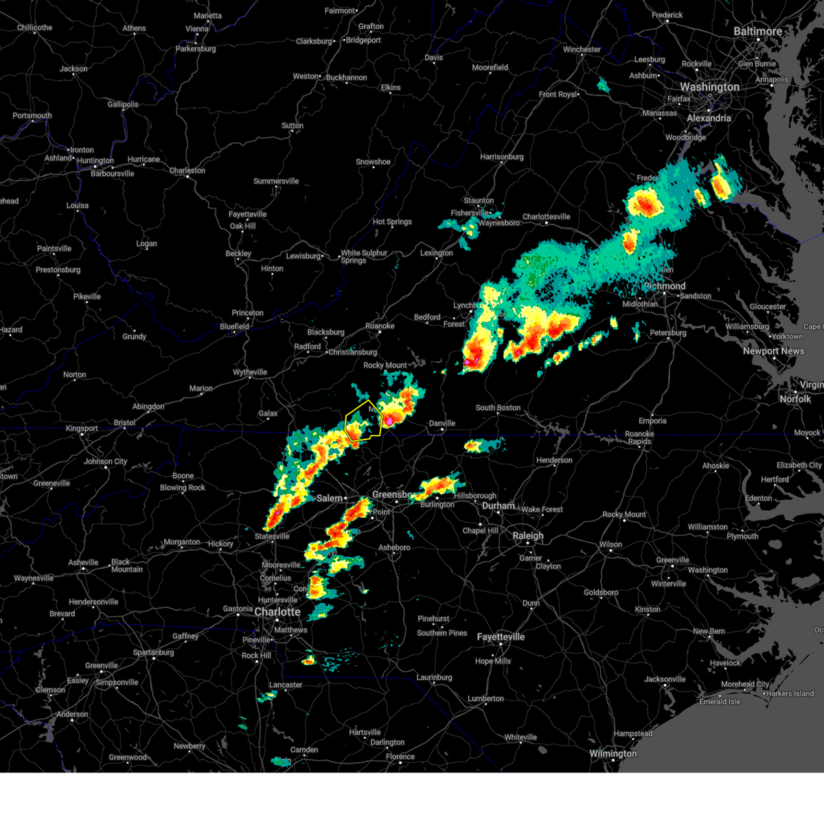 The severe thunderstorm warning for northeastern stokes, southwestern henry and southeastern patrick counties will expire at 530 pm edt, the storm which prompted the warning has moved out of the area. therefore, the warning will be allowed to expire. a severe thunderstorm watch remains in effect until 1000 pm edt for north central and northwestern north carolina, and south central, southwestern and west central virginia. The severe thunderstorm warning for northeastern stokes, southwestern henry and southeastern patrick counties will expire at 530 pm edt, the storm which prompted the warning has moved out of the area. therefore, the warning will be allowed to expire. a severe thunderstorm watch remains in effect until 1000 pm edt for north central and northwestern north carolina, and south central, southwestern and west central virginia.
|
| 4/6/2023 5:26 PM EDT |
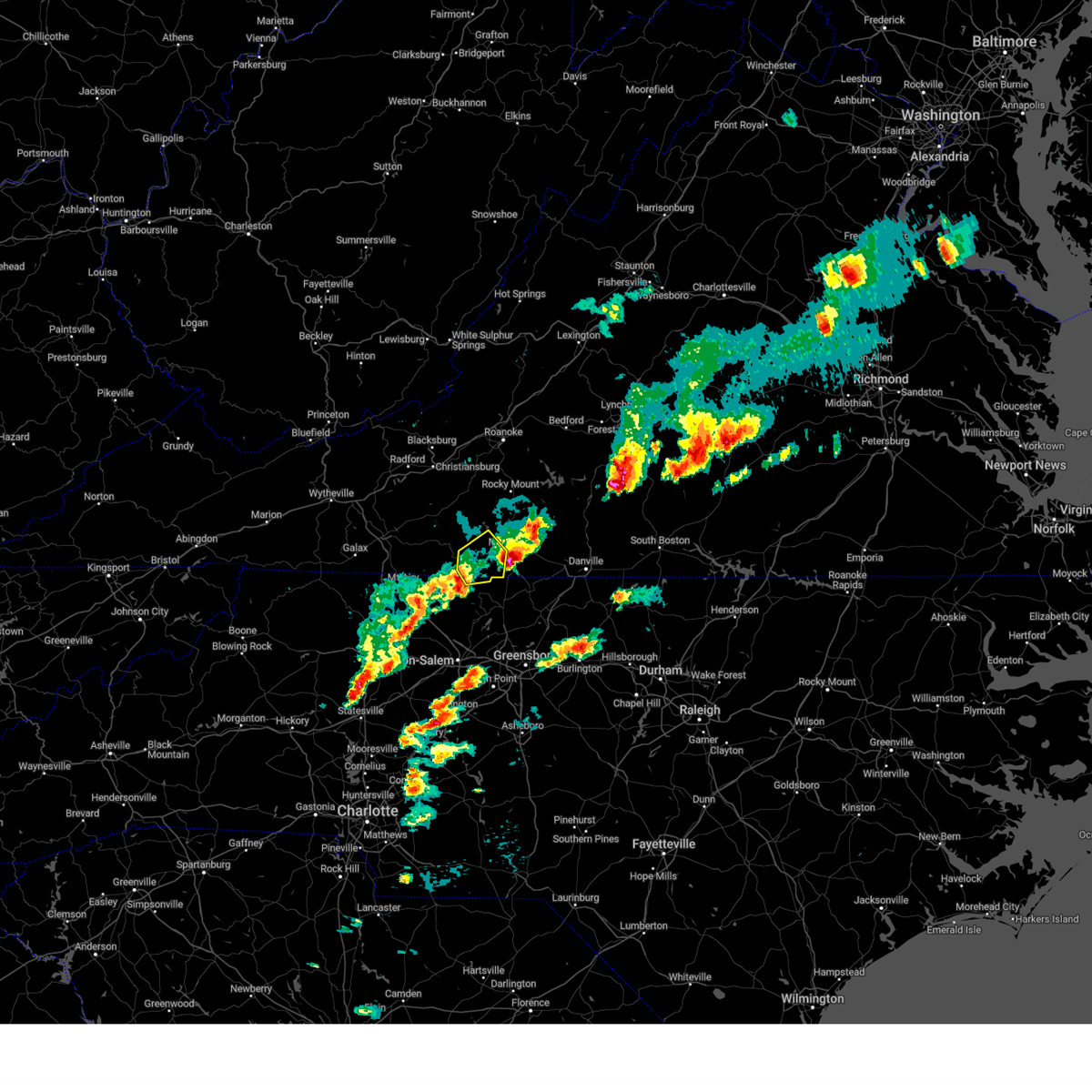 The severe thunderstorm warning for northeastern stokes, southwestern henry and southeastern patrick counties will expire at 530 pm edt, the storm which prompted the warning has moved out of the area. therefore, the warning will be allowed to expire. a severe thunderstorm watch remains in effect until 1000 pm edt for north central and northwestern north carolina, and south central, southwestern and west central virginia. The severe thunderstorm warning for northeastern stokes, southwestern henry and southeastern patrick counties will expire at 530 pm edt, the storm which prompted the warning has moved out of the area. therefore, the warning will be allowed to expire. a severe thunderstorm watch remains in effect until 1000 pm edt for north central and northwestern north carolina, and south central, southwestern and west central virginia.
|
| 4/6/2023 4:55 PM EDT |
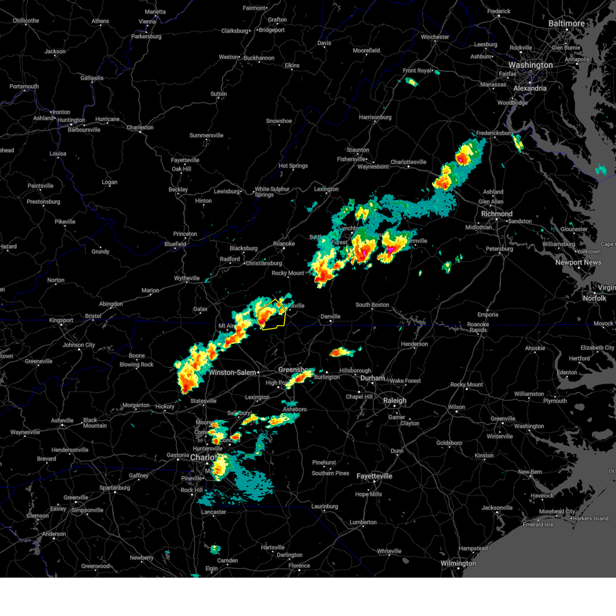 At 454 pm edt, a severe thunderstorm was located near critz, or near sandy ridge, moving east at 25 mph (radar indicated). Hazards include golf ball size hail and 60 mph wind gusts. People and animals outdoors will be injured. expect hail damage to roofs, siding, windows, and vehicles. expect wind damage to roofs, siding, and trees. locations impacted include, spencer, bassett, sanville, penns store, critz, horse pasture, and philpott dam. thunderstorm damage threat, considerable hail threat, radar indicated max hail size, 1. 75 in wind threat, radar indicated max wind gust, 60 mph. At 454 pm edt, a severe thunderstorm was located near critz, or near sandy ridge, moving east at 25 mph (radar indicated). Hazards include golf ball size hail and 60 mph wind gusts. People and animals outdoors will be injured. expect hail damage to roofs, siding, windows, and vehicles. expect wind damage to roofs, siding, and trees. locations impacted include, spencer, bassett, sanville, penns store, critz, horse pasture, and philpott dam. thunderstorm damage threat, considerable hail threat, radar indicated max hail size, 1. 75 in wind threat, radar indicated max wind gust, 60 mph.
|
| 4/6/2023 4:55 PM EDT |
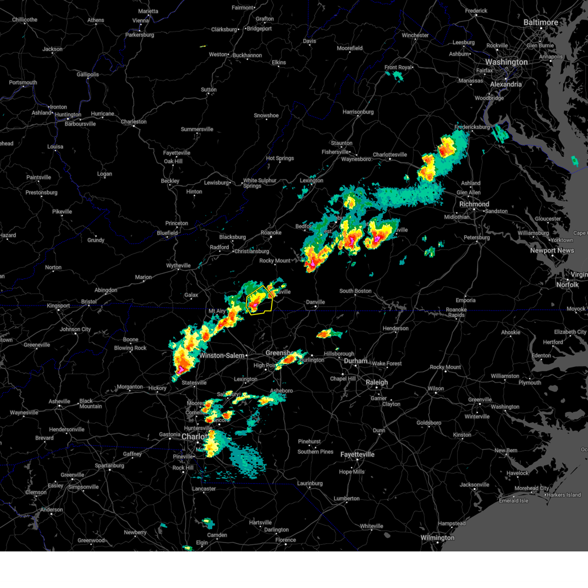 At 454 pm edt, a severe thunderstorm was located near critz, or near sandy ridge, moving east at 25 mph (radar indicated). Hazards include golf ball size hail and 60 mph wind gusts. People and animals outdoors will be injured. expect hail damage to roofs, siding, windows, and vehicles. expect wind damage to roofs, siding, and trees. locations impacted include, spencer, bassett, sanville, penns store, critz, horse pasture, and philpott dam. thunderstorm damage threat, considerable hail threat, radar indicated max hail size, 1. 75 in wind threat, radar indicated max wind gust, 60 mph. At 454 pm edt, a severe thunderstorm was located near critz, or near sandy ridge, moving east at 25 mph (radar indicated). Hazards include golf ball size hail and 60 mph wind gusts. People and animals outdoors will be injured. expect hail damage to roofs, siding, windows, and vehicles. expect wind damage to roofs, siding, and trees. locations impacted include, spencer, bassett, sanville, penns store, critz, horse pasture, and philpott dam. thunderstorm damage threat, considerable hail threat, radar indicated max hail size, 1. 75 in wind threat, radar indicated max wind gust, 60 mph.
|
| 4/6/2023 4:42 PM EDT |
 At 441 pm edt, a severe thunderstorm was located near stuart, moving east at 20 mph (radar indicated). Hazards include golf ball size hail and 60 mph wind gusts. People and animals outdoors will be injured. expect hail damage to roofs, siding, windows, and vehicles. expect wind damage to roofs, siding, and trees. locations impacted include, stuart, spencer, bassett, sanville, penns store, critz, and horse pasture. thunderstorm damage threat, considerable hail threat, radar indicated max hail size, 1. 75 in wind threat, radar indicated max wind gust, 60 mph. At 441 pm edt, a severe thunderstorm was located near stuart, moving east at 20 mph (radar indicated). Hazards include golf ball size hail and 60 mph wind gusts. People and animals outdoors will be injured. expect hail damage to roofs, siding, windows, and vehicles. expect wind damage to roofs, siding, and trees. locations impacted include, stuart, spencer, bassett, sanville, penns store, critz, and horse pasture. thunderstorm damage threat, considerable hail threat, radar indicated max hail size, 1. 75 in wind threat, radar indicated max wind gust, 60 mph.
|
| 4/6/2023 4:42 PM EDT |
 At 441 pm edt, a severe thunderstorm was located near stuart, moving east at 20 mph (radar indicated). Hazards include golf ball size hail and 60 mph wind gusts. People and animals outdoors will be injured. expect hail damage to roofs, siding, windows, and vehicles. expect wind damage to roofs, siding, and trees. locations impacted include, stuart, spencer, bassett, sanville, penns store, critz, and horse pasture. thunderstorm damage threat, considerable hail threat, radar indicated max hail size, 1. 75 in wind threat, radar indicated max wind gust, 60 mph. At 441 pm edt, a severe thunderstorm was located near stuart, moving east at 20 mph (radar indicated). Hazards include golf ball size hail and 60 mph wind gusts. People and animals outdoors will be injured. expect hail damage to roofs, siding, windows, and vehicles. expect wind damage to roofs, siding, and trees. locations impacted include, stuart, spencer, bassett, sanville, penns store, critz, and horse pasture. thunderstorm damage threat, considerable hail threat, radar indicated max hail size, 1. 75 in wind threat, radar indicated max wind gust, 60 mph.
|
| 4/6/2023 4:25 PM EDT |
 At 425 pm edt, a severe thunderstorm was located over collinstown, or near francisco, moving east at 25 mph (radar indicated). Hazards include ping pong ball size hail and 60 mph wind gusts. People and animals outdoors will be injured. expect hail damage to roofs, siding, windows, and vehicles. Expect wind damage to roofs, siding, and trees. At 425 pm edt, a severe thunderstorm was located over collinstown, or near francisco, moving east at 25 mph (radar indicated). Hazards include ping pong ball size hail and 60 mph wind gusts. People and animals outdoors will be injured. expect hail damage to roofs, siding, windows, and vehicles. Expect wind damage to roofs, siding, and trees.
|
| 4/6/2023 4:25 PM EDT |
 At 425 pm edt, a severe thunderstorm was located over collinstown, or near francisco, moving east at 25 mph (radar indicated). Hazards include ping pong ball size hail and 60 mph wind gusts. People and animals outdoors will be injured. expect hail damage to roofs, siding, windows, and vehicles. Expect wind damage to roofs, siding, and trees. At 425 pm edt, a severe thunderstorm was located over collinstown, or near francisco, moving east at 25 mph (radar indicated). Hazards include ping pong ball size hail and 60 mph wind gusts. People and animals outdoors will be injured. expect hail damage to roofs, siding, windows, and vehicles. Expect wind damage to roofs, siding, and trees.
|
| 4/6/2023 3:15 PM EDT |
Quarter sized hail reported 12.4 miles SE of Stuart, VA, hail reported at business on u.s. highway 58.
|
| 3/3/2023 7:11 PM EST |
 At 711 pm est, a severe thunderstorm was located over bottom, moving northeast at 80 mph (radar indicated). Hazards include 60 mph wind gusts. expect damage to roofs, siding, and trees At 711 pm est, a severe thunderstorm was located over bottom, moving northeast at 80 mph (radar indicated). Hazards include 60 mph wind gusts. expect damage to roofs, siding, and trees
|
| 3/3/2023 7:11 PM EST |
 At 711 pm est, a severe thunderstorm was located over bottom, moving northeast at 80 mph (radar indicated). Hazards include 60 mph wind gusts. expect damage to roofs, siding, and trees At 711 pm est, a severe thunderstorm was located over bottom, moving northeast at 80 mph (radar indicated). Hazards include 60 mph wind gusts. expect damage to roofs, siding, and trees
|
| 8/8/2022 6:15 PM EDT |
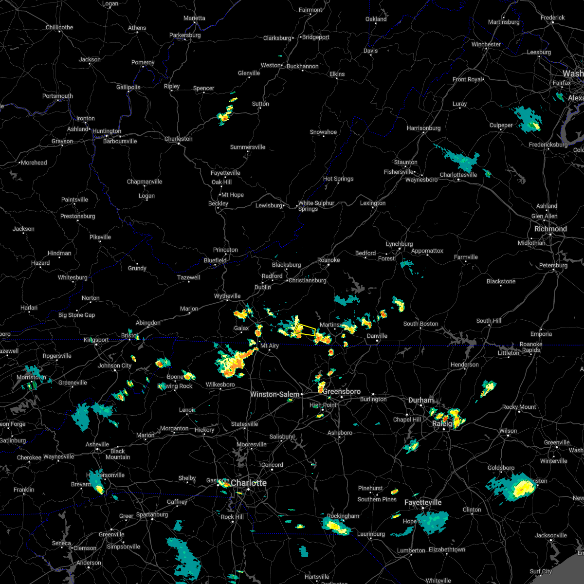 At 614 pm edt, severe thunderstorms were located along a line extending from woolwine to buffalo ridge to near stuart, moving northeast at 10 mph (radar indicated). Hazards include 60 mph wind gusts. Expect damage to roofs, siding, and trees. locations impacted include, critz, and patrick springs. hail threat, radar indicated max hail size, <. 75 in wind threat, radar indicated max wind gust, 60 mph. At 614 pm edt, severe thunderstorms were located along a line extending from woolwine to buffalo ridge to near stuart, moving northeast at 10 mph (radar indicated). Hazards include 60 mph wind gusts. Expect damage to roofs, siding, and trees. locations impacted include, critz, and patrick springs. hail threat, radar indicated max hail size, <. 75 in wind threat, radar indicated max wind gust, 60 mph.
|
| 8/8/2022 5:58 PM EDT |
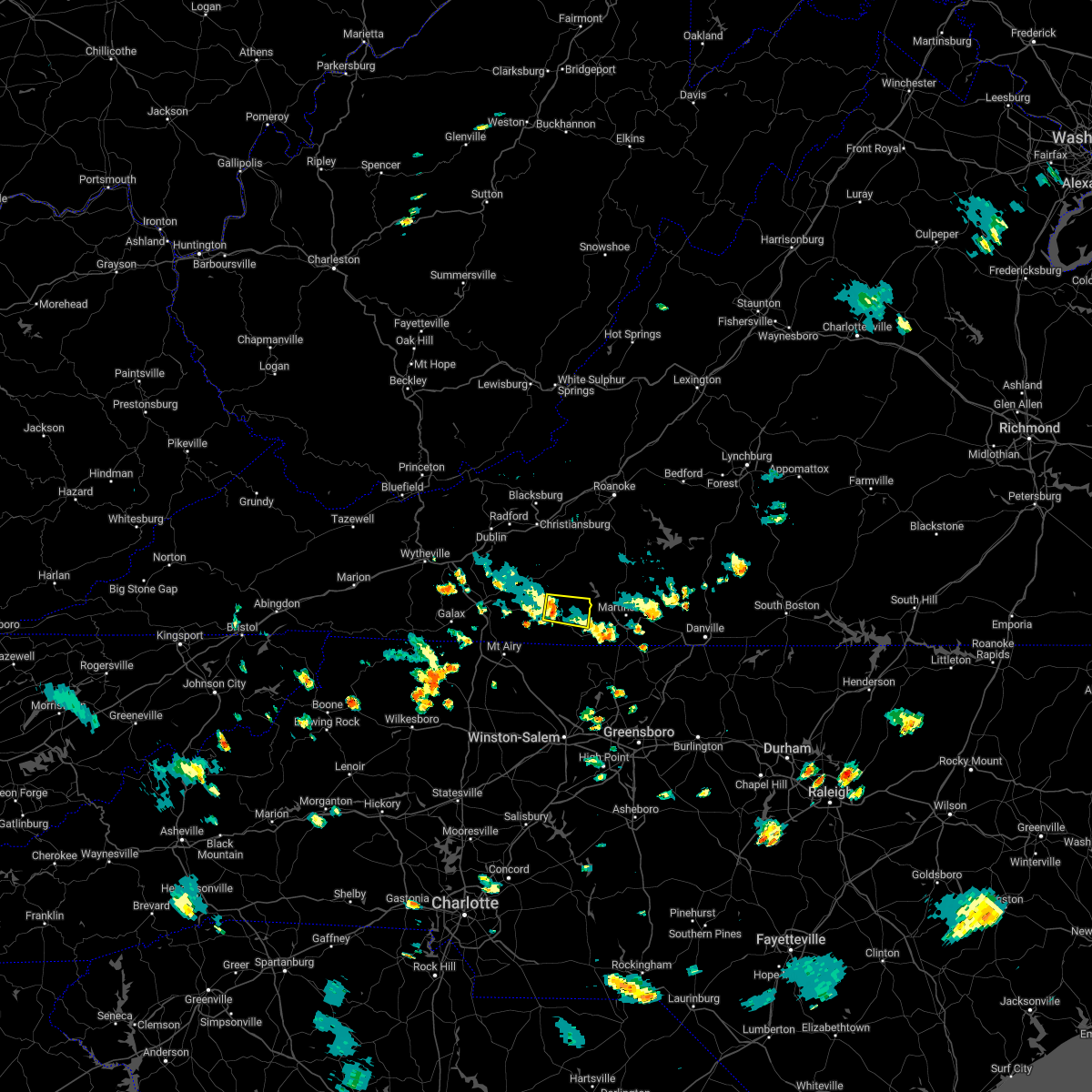 At 557 pm edt, severe thunderstorms were located along a line extending from woolwine to near buffalo ridge to near stuart, moving east at 10 mph (radar indicated). Hazards include 60 mph wind gusts. expect damage to roofs, siding, and trees At 557 pm edt, severe thunderstorms were located along a line extending from woolwine to near buffalo ridge to near stuart, moving east at 10 mph (radar indicated). Hazards include 60 mph wind gusts. expect damage to roofs, siding, and trees
|
| 6/17/2022 5:07 PM EDT |
 At 505 pm edt, severe thunderstorms were located between martinsville virginia, and dobson north carolina, moving east at 45 to 50 mph (radar indicated). Hazards include 60 mph wind gusts. Expect damage to roofs, siding, and trees. locations impacted include, mount airy, elkin, fairview, flat rock, dobson, pilot mountain, and stuart. hail threat, radar indicated max hail size, <. 75 in wind threat, radar indicated max wind gust, 60 mph. At 505 pm edt, severe thunderstorms were located between martinsville virginia, and dobson north carolina, moving east at 45 to 50 mph (radar indicated). Hazards include 60 mph wind gusts. Expect damage to roofs, siding, and trees. locations impacted include, mount airy, elkin, fairview, flat rock, dobson, pilot mountain, and stuart. hail threat, radar indicated max hail size, <. 75 in wind threat, radar indicated max wind gust, 60 mph.
|
| 6/17/2022 5:07 PM EDT |
 At 505 pm edt, severe thunderstorms were located between martinsville virginia, and dobson north carolina, moving east at 45 to 50 mph (radar indicated). Hazards include 60 mph wind gusts. Expect damage to roofs, siding, and trees. locations impacted include, mount airy, elkin, fairview, flat rock, dobson, pilot mountain, and stuart. hail threat, radar indicated max hail size, <. 75 in wind threat, radar indicated max wind gust, 60 mph. At 505 pm edt, severe thunderstorms were located between martinsville virginia, and dobson north carolina, moving east at 45 to 50 mph (radar indicated). Hazards include 60 mph wind gusts. Expect damage to roofs, siding, and trees. locations impacted include, mount airy, elkin, fairview, flat rock, dobson, pilot mountain, and stuart. hail threat, radar indicated max hail size, <. 75 in wind threat, radar indicated max wind gust, 60 mph.
|
| 6/17/2022 4:22 PM EDT |
 At 421 pm edt, severe thunderstorms were located along a line extending from near floyd to near galax, virginia, moving east- southeast at 50 mph (radar indicated). Hazards include 60 mph wind gusts. expect damage to roofs, siding, and trees At 421 pm edt, severe thunderstorms were located along a line extending from near floyd to near galax, virginia, moving east- southeast at 50 mph (radar indicated). Hazards include 60 mph wind gusts. expect damage to roofs, siding, and trees
|
| 6/17/2022 4:22 PM EDT |
 At 421 pm edt, severe thunderstorms were located along a line extending from near floyd to near galax, virginia, moving east- southeast at 50 mph (radar indicated). Hazards include 60 mph wind gusts. expect damage to roofs, siding, and trees At 421 pm edt, severe thunderstorms were located along a line extending from near floyd to near galax, virginia, moving east- southeast at 50 mph (radar indicated). Hazards include 60 mph wind gusts. expect damage to roofs, siding, and trees
|
|
|
| 6/16/2022 2:37 PM EDT |
 At 237 pm edt, a severe thunderstorm was located over pinnacle, or near pilot mountain, moving southeast at 25 mph (radar indicated). Hazards include 60 mph wind gusts and quarter size hail. Hail damage to vehicles is expected. expect wind damage to roofs, siding, and trees. locations impacted include, mount airy, fairview, flat rock, yadkinville, dobson, pilot mountain, and walnut cove. hail threat, radar indicated max hail size, 1. 00 in wind threat, radar indicated max wind gust, 60 mph. At 237 pm edt, a severe thunderstorm was located over pinnacle, or near pilot mountain, moving southeast at 25 mph (radar indicated). Hazards include 60 mph wind gusts and quarter size hail. Hail damage to vehicles is expected. expect wind damage to roofs, siding, and trees. locations impacted include, mount airy, fairview, flat rock, yadkinville, dobson, pilot mountain, and walnut cove. hail threat, radar indicated max hail size, 1. 00 in wind threat, radar indicated max wind gust, 60 mph.
|
| 6/16/2022 2:37 PM EDT |
 At 237 pm edt, a severe thunderstorm was located over pinnacle, or near pilot mountain, moving southeast at 25 mph (radar indicated). Hazards include 60 mph wind gusts and quarter size hail. Hail damage to vehicles is expected. expect wind damage to roofs, siding, and trees. locations impacted include, mount airy, fairview, flat rock, yadkinville, dobson, pilot mountain, and walnut cove. hail threat, radar indicated max hail size, 1. 00 in wind threat, radar indicated max wind gust, 60 mph. At 237 pm edt, a severe thunderstorm was located over pinnacle, or near pilot mountain, moving southeast at 25 mph (radar indicated). Hazards include 60 mph wind gusts and quarter size hail. Hail damage to vehicles is expected. expect wind damage to roofs, siding, and trees. locations impacted include, mount airy, fairview, flat rock, yadkinville, dobson, pilot mountain, and walnut cove. hail threat, radar indicated max hail size, 1. 00 in wind threat, radar indicated max wind gust, 60 mph.
|
| 6/16/2022 2:16 PM EDT |
 At 215 pm edt, a severe thunderstorm was located over westfield, or near pilot mountain, moving southeast at 25 mph (radar indicated). Hazards include 60 mph wind gusts and quarter size hail. Hail damage to vehicles is expected. Expect wind damage to roofs, siding, and trees. At 215 pm edt, a severe thunderstorm was located over westfield, or near pilot mountain, moving southeast at 25 mph (radar indicated). Hazards include 60 mph wind gusts and quarter size hail. Hail damage to vehicles is expected. Expect wind damage to roofs, siding, and trees.
|
| 6/16/2022 2:16 PM EDT |
 At 215 pm edt, a severe thunderstorm was located over westfield, or near pilot mountain, moving southeast at 25 mph (radar indicated). Hazards include 60 mph wind gusts and quarter size hail. Hail damage to vehicles is expected. Expect wind damage to roofs, siding, and trees. At 215 pm edt, a severe thunderstorm was located over westfield, or near pilot mountain, moving southeast at 25 mph (radar indicated). Hazards include 60 mph wind gusts and quarter size hail. Hail damage to vehicles is expected. Expect wind damage to roofs, siding, and trees.
|
| 6/16/2022 1:24 PM EDT |
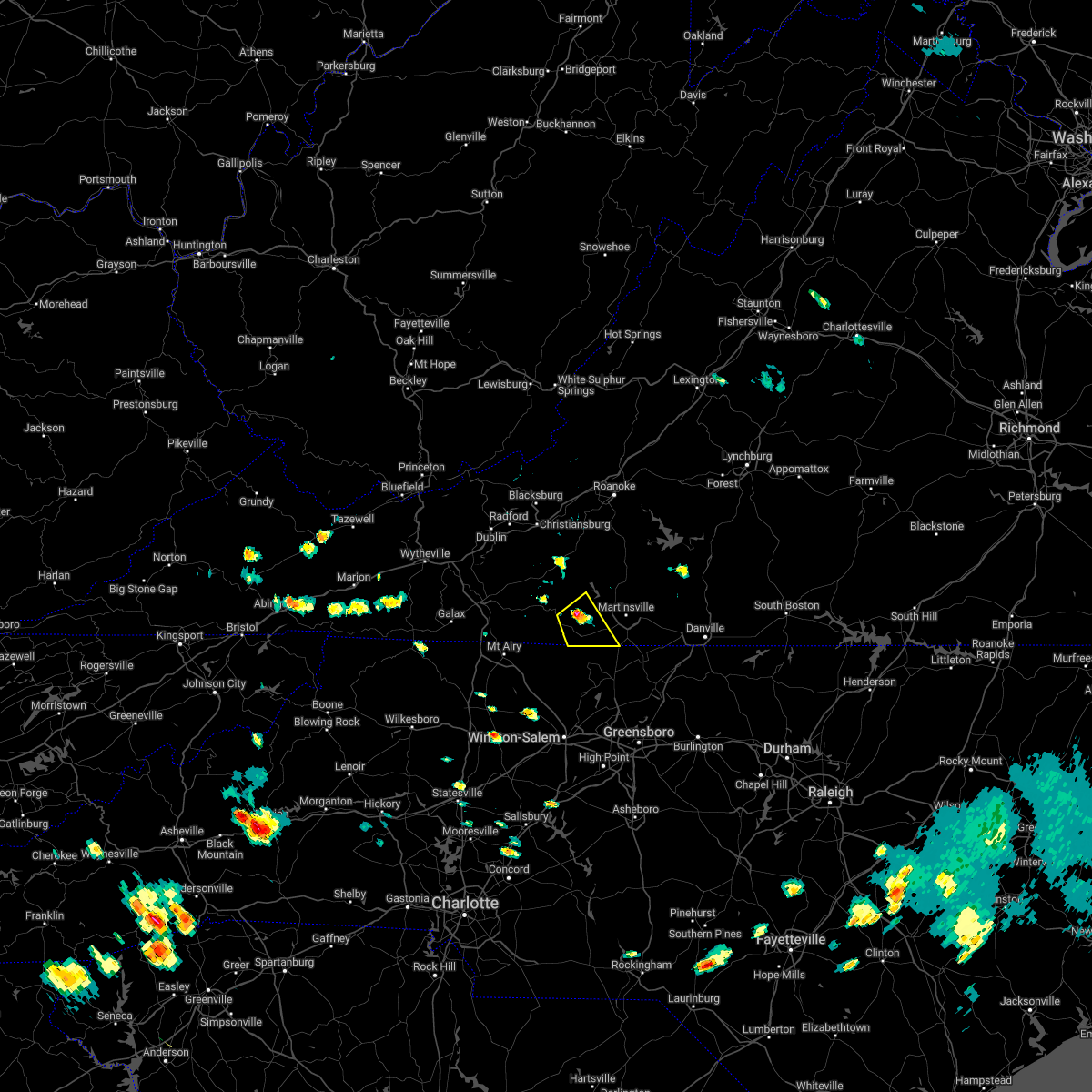 At 124 pm edt, a severe thunderstorm was located near critz, or 7 miles northeast of stuart, moving southeast at 10 mph (radar indicated). Hazards include 60 mph wind gusts and quarter size hail. Hail damage to vehicles is expected. Expect wind damage to roofs, siding, and trees. At 124 pm edt, a severe thunderstorm was located near critz, or 7 miles northeast of stuart, moving southeast at 10 mph (radar indicated). Hazards include 60 mph wind gusts and quarter size hail. Hail damage to vehicles is expected. Expect wind damage to roofs, siding, and trees.
|
| 6/14/2022 1:37 AM EDT |
 The severe thunderstorm warning for northwestern henry, south central franklin and southeastern patrick counties will expire at 145 am edt, the storm which prompted the warning has weakened below severe limits, and has exited the warned area. therefore, the warning will be allowed to expire. The severe thunderstorm warning for northwestern henry, south central franklin and southeastern patrick counties will expire at 145 am edt, the storm which prompted the warning has weakened below severe limits, and has exited the warned area. therefore, the warning will be allowed to expire.
|
| 6/14/2022 1:29 AM EDT |
 At 129 am edt, a severe thunderstorm was located near critz, or 7 miles northeast of stuart, moving southeast at 15 mph (radar indicated). Hazards include 60 mph wind gusts. Expect damage to roofs, siding, and trees. locations impacted include, stuart, bassett, sanville, stanleytown, critz, collinsville, and oak level. hail threat, radar indicated max hail size, <. 75 in wind threat, radar indicated max wind gust, 60 mph. At 129 am edt, a severe thunderstorm was located near critz, or 7 miles northeast of stuart, moving southeast at 15 mph (radar indicated). Hazards include 60 mph wind gusts. Expect damage to roofs, siding, and trees. locations impacted include, stuart, bassett, sanville, stanleytown, critz, collinsville, and oak level. hail threat, radar indicated max hail size, <. 75 in wind threat, radar indicated max wind gust, 60 mph.
|
| 6/14/2022 1:14 AM EDT |
 At 114 am edt, a severe thunderstorm was located near buffalo ridge, or near woolwine, moving southeast at 30 mph (radar indicated). Hazards include 60 mph wind gusts. Expect damage to roofs, siding, and trees. locations impacted include, stuart, bassett, woolwine, ferrum, endicott, critz, and mabry mill. hail threat, radar indicated max hail size, <. 75 in wind threat, radar indicated max wind gust, 60 mph. At 114 am edt, a severe thunderstorm was located near buffalo ridge, or near woolwine, moving southeast at 30 mph (radar indicated). Hazards include 60 mph wind gusts. Expect damage to roofs, siding, and trees. locations impacted include, stuart, bassett, woolwine, ferrum, endicott, critz, and mabry mill. hail threat, radar indicated max hail size, <. 75 in wind threat, radar indicated max wind gust, 60 mph.
|
| 6/14/2022 12:52 AM EDT |
 At 1252 am edt, a severe thunderstorm was located near woolwine, moving southeast at 15 mph (radar indicated). Hazards include 60 mph wind gusts. expect damage to roofs, siding, and trees At 1252 am edt, a severe thunderstorm was located near woolwine, moving southeast at 15 mph (radar indicated). Hazards include 60 mph wind gusts. expect damage to roofs, siding, and trees
|
| 6/2/2022 5:50 PM EDT |
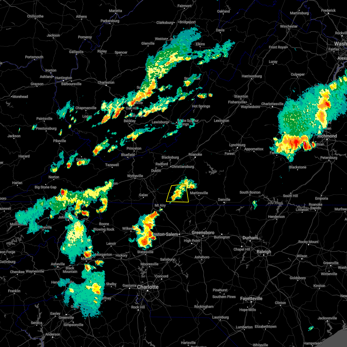 The severe thunderstorm warning for south central floyd and patrick counties will expire at 600 pm edt, the storm which prompted the warning has weakened below severe limits, and no longer poses an immediate threat to life or property. therefore, the warning will be allowed to expire. a severe thunderstorm watch remains in effect until 900 pm edt for north central and northwestern north carolina, and south central, southwestern and west central virginia. The severe thunderstorm warning for south central floyd and patrick counties will expire at 600 pm edt, the storm which prompted the warning has weakened below severe limits, and no longer poses an immediate threat to life or property. therefore, the warning will be allowed to expire. a severe thunderstorm watch remains in effect until 900 pm edt for north central and northwestern north carolina, and south central, southwestern and west central virginia.
|
| 6/2/2022 5:35 PM EDT |
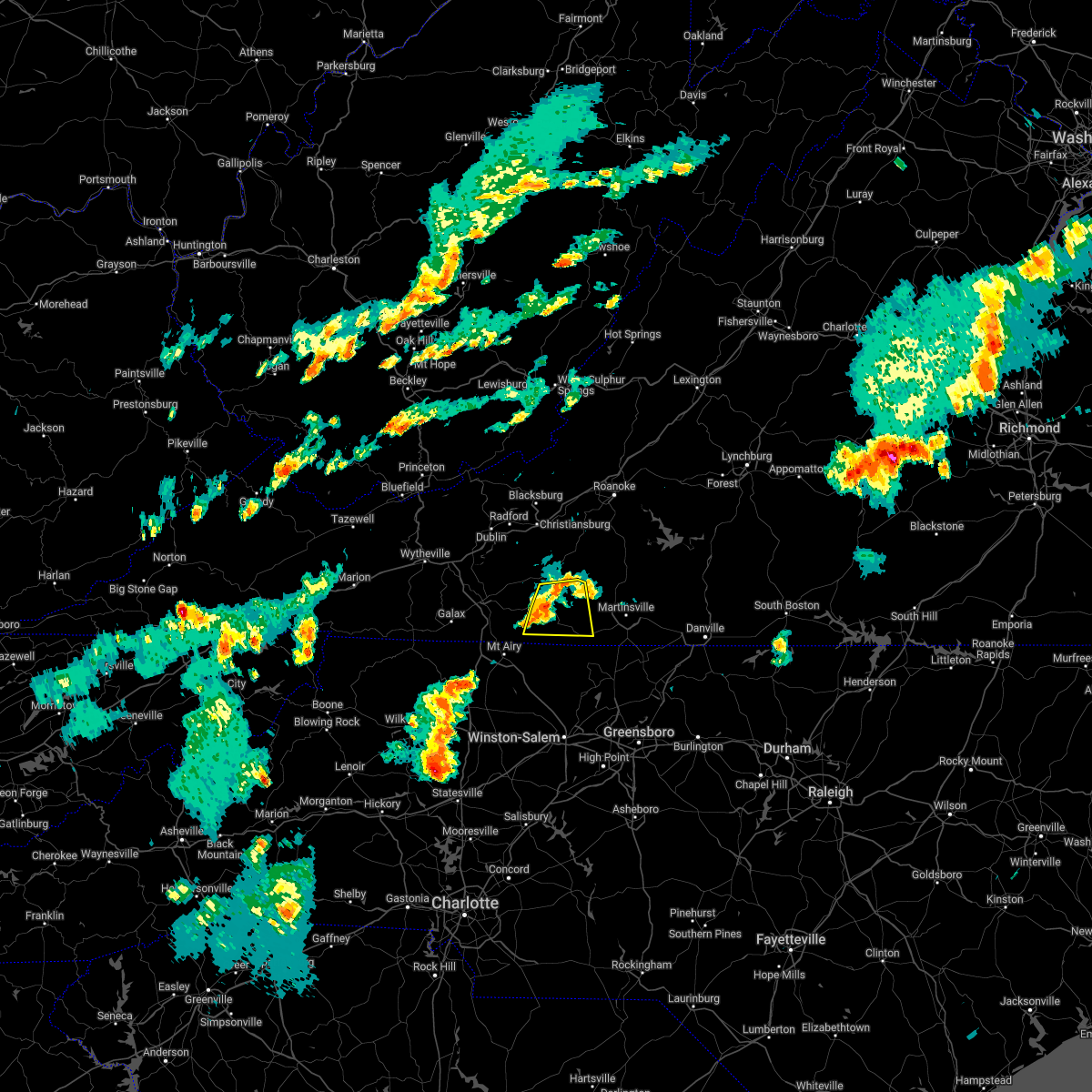 At 535 pm edt, a severe thunderstorm was located near buffalo ridge, or near stuart, moving east at 30 mph (radar indicated). Hazards include 60 mph wind gusts and quarter size hail. Hail damage to vehicles is expected. expect wind damage to roofs, siding, and trees. locations impacted include, stuart, woolwine, critz, meadows of dan, mabry mill, buffalo ridge, and rocky knob recreation area. hail threat, radar indicated max hail size, 1. 00 in wind threat, radar indicated max wind gust, 60 mph. At 535 pm edt, a severe thunderstorm was located near buffalo ridge, or near stuart, moving east at 30 mph (radar indicated). Hazards include 60 mph wind gusts and quarter size hail. Hail damage to vehicles is expected. expect wind damage to roofs, siding, and trees. locations impacted include, stuart, woolwine, critz, meadows of dan, mabry mill, buffalo ridge, and rocky knob recreation area. hail threat, radar indicated max hail size, 1. 00 in wind threat, radar indicated max wind gust, 60 mph.
|
| 6/2/2022 5:20 PM EDT |
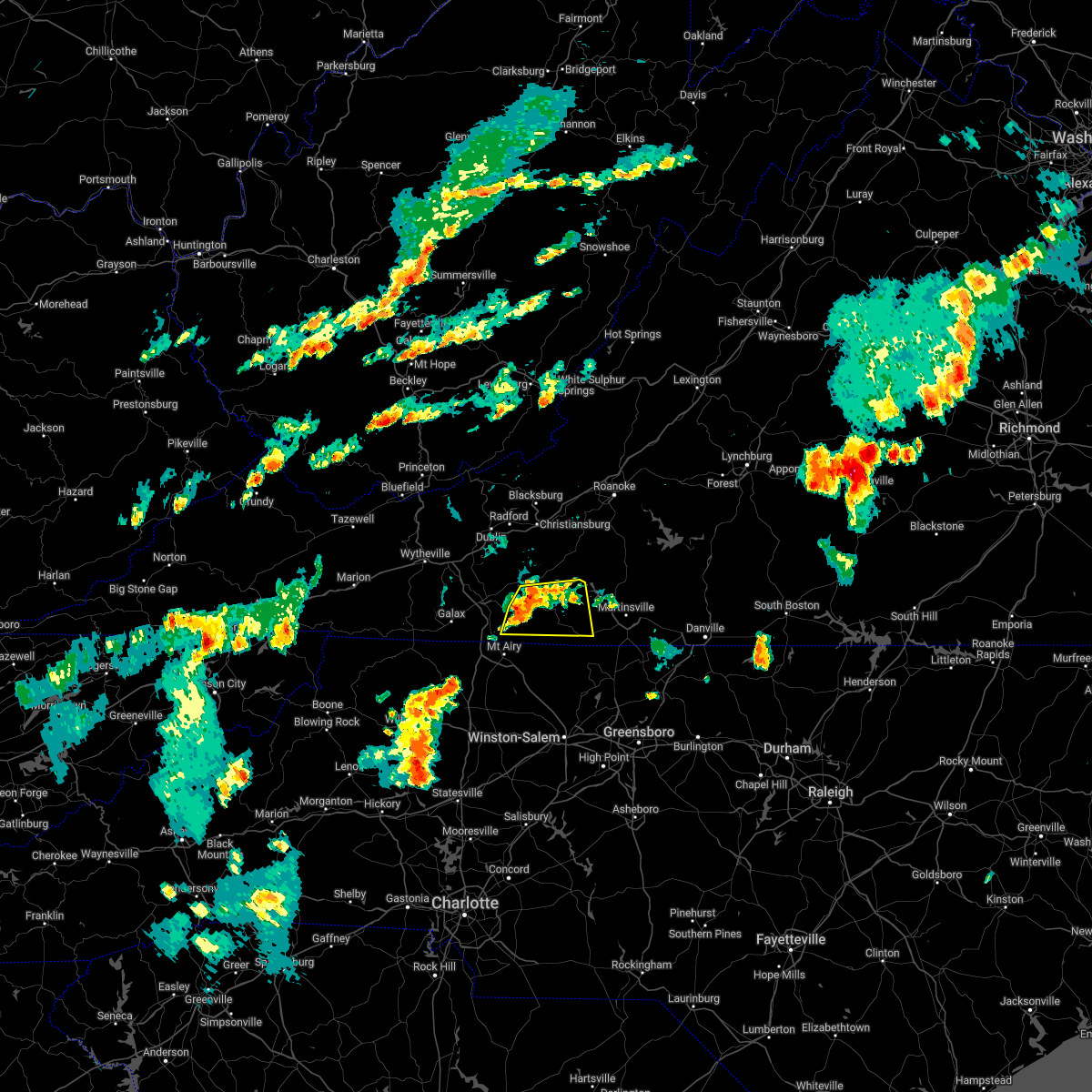 At 520 pm edt, a severe thunderstorm was located over meadows of dan, or 8 miles northeast of ararat, moving east at 30 mph (radar indicated). Hazards include 60 mph wind gusts and quarter size hail. Hail damage to vehicles is expected. expect wind damage to roofs, siding, and trees. locations impacted include, stuart, ararat, woolwine, laurel fork, critz, meadows of dan, and mabry mill. hail threat, radar indicated max hail size, 1. 00 in wind threat, radar indicated max wind gust, 60 mph. At 520 pm edt, a severe thunderstorm was located over meadows of dan, or 8 miles northeast of ararat, moving east at 30 mph (radar indicated). Hazards include 60 mph wind gusts and quarter size hail. Hail damage to vehicles is expected. expect wind damage to roofs, siding, and trees. locations impacted include, stuart, ararat, woolwine, laurel fork, critz, meadows of dan, and mabry mill. hail threat, radar indicated max hail size, 1. 00 in wind threat, radar indicated max wind gust, 60 mph.
|
| 6/2/2022 5:05 PM EDT |
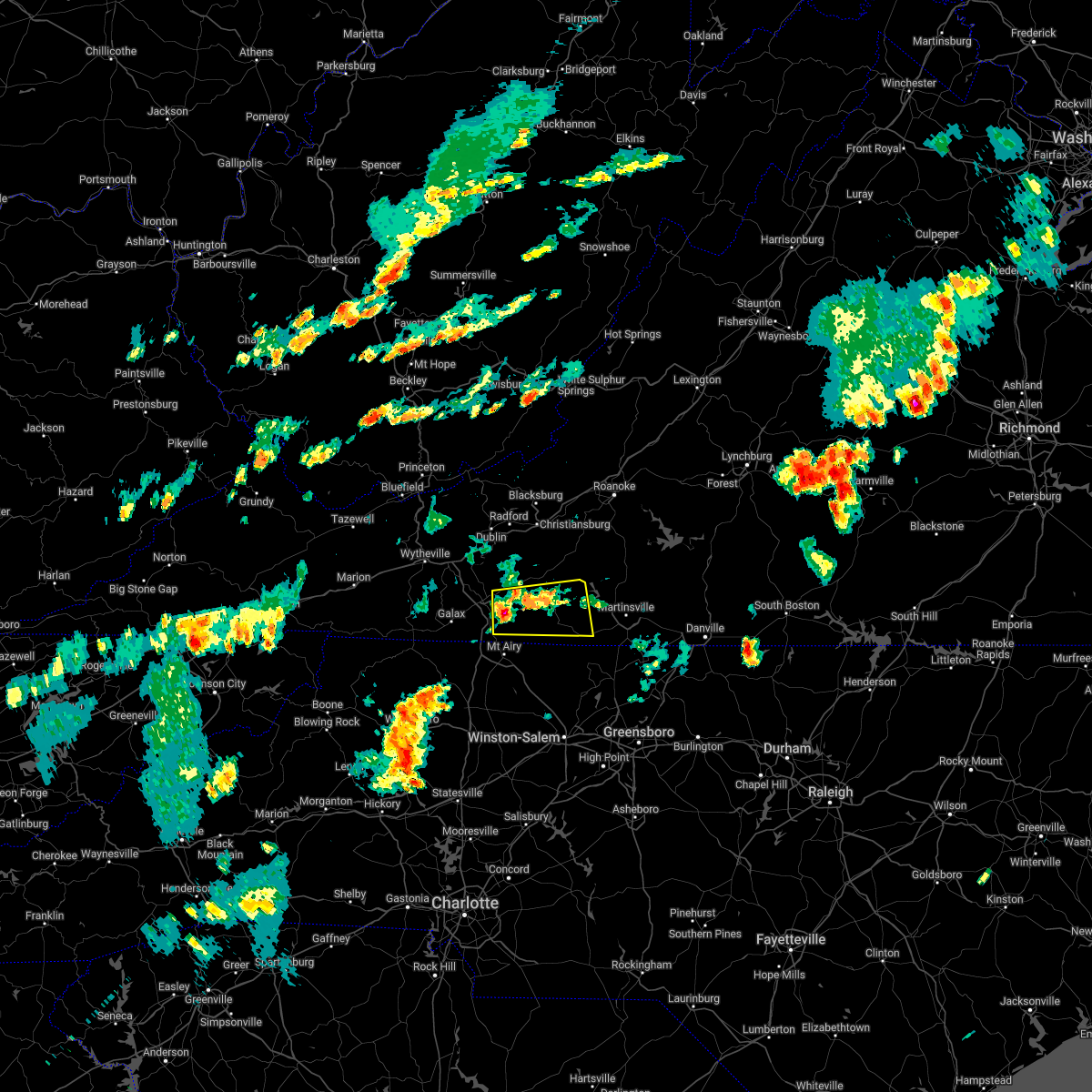 At 505 pm edt, a severe thunderstorm was located near gladesboro, or near fancy gap, moving east at 30 mph (radar indicated). Hazards include 60 mph wind gusts and quarter size hail. Hail damage to vehicles is expected. Expect wind damage to roofs, siding, and trees. At 505 pm edt, a severe thunderstorm was located near gladesboro, or near fancy gap, moving east at 30 mph (radar indicated). Hazards include 60 mph wind gusts and quarter size hail. Hail damage to vehicles is expected. Expect wind damage to roofs, siding, and trees.
|
| 6/2/2022 2:47 PM EDT |
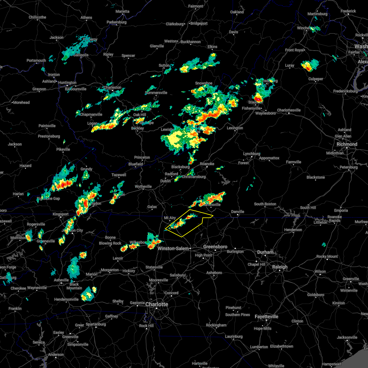 At 246 pm edt, severe thunderstorms were located along a line extending from near sandy ridge to near ararat, moving east at 10 mph (radar indicated). Hazards include 60 mph wind gusts and quarter size hail. Hail damage to vehicles is expected. Expect wind damage to roofs, siding, and trees. At 246 pm edt, severe thunderstorms were located along a line extending from near sandy ridge to near ararat, moving east at 10 mph (radar indicated). Hazards include 60 mph wind gusts and quarter size hail. Hail damage to vehicles is expected. Expect wind damage to roofs, siding, and trees.
|
| 6/2/2022 2:47 PM EDT |
 At 246 pm edt, severe thunderstorms were located along a line extending from near sandy ridge to near ararat, moving east at 10 mph (radar indicated). Hazards include 60 mph wind gusts and quarter size hail. Hail damage to vehicles is expected. Expect wind damage to roofs, siding, and trees. At 246 pm edt, severe thunderstorms were located along a line extending from near sandy ridge to near ararat, moving east at 10 mph (radar indicated). Hazards include 60 mph wind gusts and quarter size hail. Hail damage to vehicles is expected. Expect wind damage to roofs, siding, and trees.
|
| 5/26/2022 10:02 PM EDT |
 At 1001 pm edt, severe thunderstorms were located along a line extending from near endicott to near mayodan, moving northeast at 40 mph (radar indicated). Hazards include 60 mph wind gusts. Expect damage to roofs, siding, and trees. Locations impacted include, mayodan, madison, walnut cove, stuart, stoneville, floyd, and danbury. At 1001 pm edt, severe thunderstorms were located along a line extending from near endicott to near mayodan, moving northeast at 40 mph (radar indicated). Hazards include 60 mph wind gusts. Expect damage to roofs, siding, and trees. Locations impacted include, mayodan, madison, walnut cove, stuart, stoneville, floyd, and danbury.
|
| 5/26/2022 10:02 PM EDT |
 At 1001 pm edt, severe thunderstorms were located along a line extending from near endicott to near mayodan, moving northeast at 40 mph (radar indicated). Hazards include 60 mph wind gusts. Expect damage to roofs, siding, and trees. Locations impacted include, mayodan, madison, walnut cove, stuart, stoneville, floyd, and danbury. At 1001 pm edt, severe thunderstorms were located along a line extending from near endicott to near mayodan, moving northeast at 40 mph (radar indicated). Hazards include 60 mph wind gusts. Expect damage to roofs, siding, and trees. Locations impacted include, mayodan, madison, walnut cove, stuart, stoneville, floyd, and danbury.
|
| 5/26/2022 9:35 PM EDT |
Six trees down along route 103. time estimated from rada in patrick county VA, 8.2 miles ENE of Stuart, VA
|
| 5/26/2022 9:35 PM EDT |
 At 934 pm edt, severe thunderstorms were located along a line extending from near willis to near germanton, moving northeast at 35 mph (radar indicated). Hazards include 60 mph wind gusts. Expect damage to roofs, siding, and trees. Locations impacted include, mayodan, madison, pilot mountain, walnut cove, stuart, stoneville, and floyd. At 934 pm edt, severe thunderstorms were located along a line extending from near willis to near germanton, moving northeast at 35 mph (radar indicated). Hazards include 60 mph wind gusts. Expect damage to roofs, siding, and trees. Locations impacted include, mayodan, madison, pilot mountain, walnut cove, stuart, stoneville, and floyd.
|
| 5/26/2022 9:35 PM EDT |
 At 934 pm edt, severe thunderstorms were located along a line extending from near willis to near germanton, moving northeast at 35 mph (radar indicated). Hazards include 60 mph wind gusts. Expect damage to roofs, siding, and trees. Locations impacted include, mayodan, madison, pilot mountain, walnut cove, stuart, stoneville, and floyd. At 934 pm edt, severe thunderstorms were located along a line extending from near willis to near germanton, moving northeast at 35 mph (radar indicated). Hazards include 60 mph wind gusts. Expect damage to roofs, siding, and trees. Locations impacted include, mayodan, madison, pilot mountain, walnut cove, stuart, stoneville, and floyd.
|
| 5/26/2022 9:11 PM EDT |
 At 910 pm edt, severe thunderstorms were located along a line extending from near laurel fork to huntsville, moving northeast at 40 mph (radar indicated). Hazards include 60 mph wind gusts. expect damage to roofs, siding, and trees At 910 pm edt, severe thunderstorms were located along a line extending from near laurel fork to huntsville, moving northeast at 40 mph (radar indicated). Hazards include 60 mph wind gusts. expect damage to roofs, siding, and trees
|
| 5/26/2022 9:11 PM EDT |
 At 910 pm edt, severe thunderstorms were located along a line extending from near laurel fork to huntsville, moving northeast at 40 mph (radar indicated). Hazards include 60 mph wind gusts. expect damage to roofs, siding, and trees At 910 pm edt, severe thunderstorms were located along a line extending from near laurel fork to huntsville, moving northeast at 40 mph (radar indicated). Hazards include 60 mph wind gusts. expect damage to roofs, siding, and trees
|
| 5/21/2022 6:25 PM EDT |
 At 625 pm edt, a severe thunderstorm was located over dillard, or near danbury, moving northeast at 20 mph (radar indicated). Hazards include 60 mph wind gusts and quarter size hail. Hail damage to vehicles is expected. expect wind damage to roofs, siding, and trees. locations impacted include, eden, reidsville, martinsville, wentworth, mayodan, madison, and pilot mountain. this includes the following locations the martinsville speedway and martinsville airport. hail threat, radar indicated max hail size, 1. 00 in wind threat, radar indicated max wind gust, 60 mph. At 625 pm edt, a severe thunderstorm was located over dillard, or near danbury, moving northeast at 20 mph (radar indicated). Hazards include 60 mph wind gusts and quarter size hail. Hail damage to vehicles is expected. expect wind damage to roofs, siding, and trees. locations impacted include, eden, reidsville, martinsville, wentworth, mayodan, madison, and pilot mountain. this includes the following locations the martinsville speedway and martinsville airport. hail threat, radar indicated max hail size, 1. 00 in wind threat, radar indicated max wind gust, 60 mph.
|
| 5/21/2022 6:25 PM EDT |
 At 625 pm edt, a severe thunderstorm was located over dillard, or near danbury, moving northeast at 20 mph (radar indicated). Hazards include 60 mph wind gusts and quarter size hail. Hail damage to vehicles is expected. expect wind damage to roofs, siding, and trees. locations impacted include, eden, reidsville, martinsville, wentworth, mayodan, madison, and pilot mountain. this includes the following locations the martinsville speedway and martinsville airport. hail threat, radar indicated max hail size, 1. 00 in wind threat, radar indicated max wind gust, 60 mph. At 625 pm edt, a severe thunderstorm was located over dillard, or near danbury, moving northeast at 20 mph (radar indicated). Hazards include 60 mph wind gusts and quarter size hail. Hail damage to vehicles is expected. expect wind damage to roofs, siding, and trees. locations impacted include, eden, reidsville, martinsville, wentworth, mayodan, madison, and pilot mountain. this includes the following locations the martinsville speedway and martinsville airport. hail threat, radar indicated max hail size, 1. 00 in wind threat, radar indicated max wind gust, 60 mph.
|
| 5/21/2022 5:51 PM EDT |
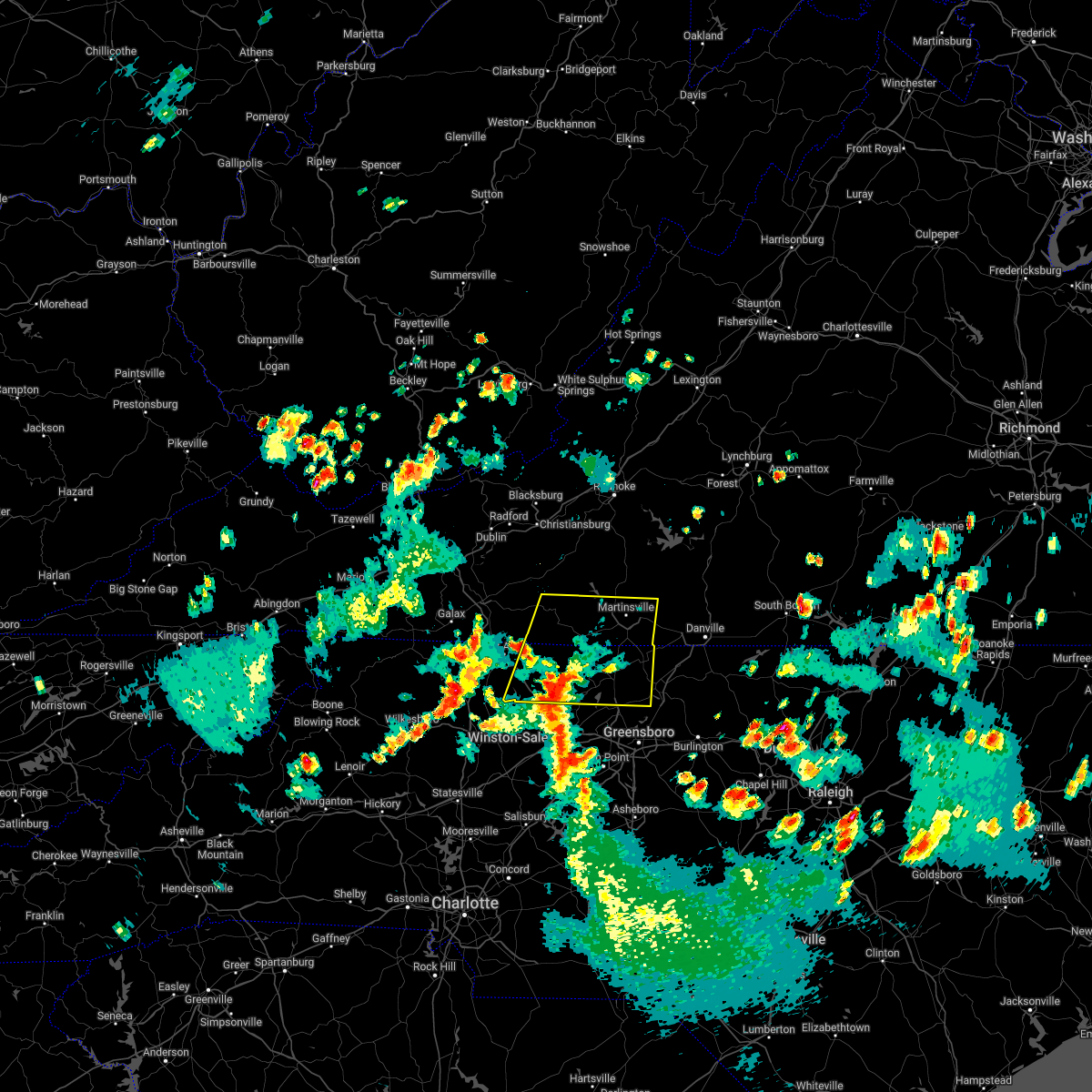 At 550 pm edt, a severe thunderstorm was located over capella, or 7 miles southeast of pilot mountain, moving northeast at 30 mph (radar indicated). Hazards include 60 mph wind gusts and quarter size hail. Hail damage to vehicles is expected. expect wind damage to roofs, siding, and trees. locations impacted include, eden, reidsville, martinsville, wentworth, mayodan, madison, and pilot mountain. this includes the following locations the martinsville speedway and martinsville airport. hail threat, radar indicated max hail size, 1. 00 in wind threat, radar indicated max wind gust, 60 mph. At 550 pm edt, a severe thunderstorm was located over capella, or 7 miles southeast of pilot mountain, moving northeast at 30 mph (radar indicated). Hazards include 60 mph wind gusts and quarter size hail. Hail damage to vehicles is expected. expect wind damage to roofs, siding, and trees. locations impacted include, eden, reidsville, martinsville, wentworth, mayodan, madison, and pilot mountain. this includes the following locations the martinsville speedway and martinsville airport. hail threat, radar indicated max hail size, 1. 00 in wind threat, radar indicated max wind gust, 60 mph.
|
|
|
| 5/21/2022 5:51 PM EDT |
 At 550 pm edt, a severe thunderstorm was located over capella, or 7 miles southeast of pilot mountain, moving northeast at 30 mph (radar indicated). Hazards include 60 mph wind gusts and quarter size hail. Hail damage to vehicles is expected. expect wind damage to roofs, siding, and trees. locations impacted include, eden, reidsville, martinsville, wentworth, mayodan, madison, and pilot mountain. this includes the following locations the martinsville speedway and martinsville airport. hail threat, radar indicated max hail size, 1. 00 in wind threat, radar indicated max wind gust, 60 mph. At 550 pm edt, a severe thunderstorm was located over capella, or 7 miles southeast of pilot mountain, moving northeast at 30 mph (radar indicated). Hazards include 60 mph wind gusts and quarter size hail. Hail damage to vehicles is expected. expect wind damage to roofs, siding, and trees. locations impacted include, eden, reidsville, martinsville, wentworth, mayodan, madison, and pilot mountain. this includes the following locations the martinsville speedway and martinsville airport. hail threat, radar indicated max hail size, 1. 00 in wind threat, radar indicated max wind gust, 60 mph.
|
| 5/21/2022 5:39 PM EDT |
 At 539 pm edt, a severe thunderstorm was located over king, or 7 miles east of east bend, moving northeast at 30 mph (radar indicated). Hazards include 60 mph wind gusts and quarter size hail. Hail damage to vehicles is expected. Expect wind damage to roofs, siding, and trees. At 539 pm edt, a severe thunderstorm was located over king, or 7 miles east of east bend, moving northeast at 30 mph (radar indicated). Hazards include 60 mph wind gusts and quarter size hail. Hail damage to vehicles is expected. Expect wind damage to roofs, siding, and trees.
|
| 5/21/2022 5:39 PM EDT |
 At 539 pm edt, a severe thunderstorm was located over king, or 7 miles east of east bend, moving northeast at 30 mph (radar indicated). Hazards include 60 mph wind gusts and quarter size hail. Hail damage to vehicles is expected. Expect wind damage to roofs, siding, and trees. At 539 pm edt, a severe thunderstorm was located over king, or 7 miles east of east bend, moving northeast at 30 mph (radar indicated). Hazards include 60 mph wind gusts and quarter size hail. Hail damage to vehicles is expected. Expect wind damage to roofs, siding, and trees.
|
| 5/6/2022 7:57 PM EDT |
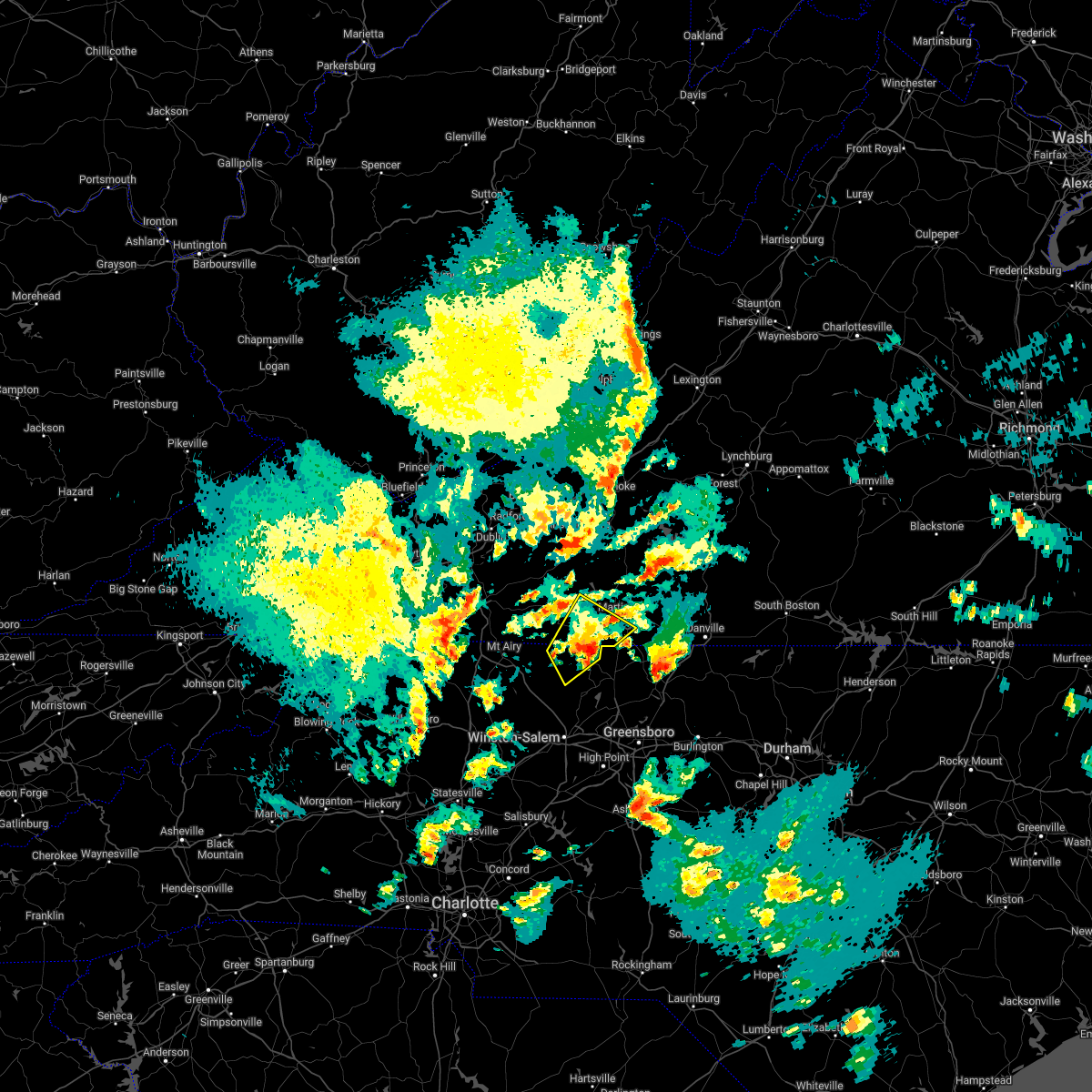 At 756 pm edt, a severe thunderstorm was located near sandy ridge, moving northeast at 35 mph (radar indicated). Hazards include 60 mph wind gusts and quarter size hail. Hail damage to vehicles is expected. expect wind damage to roofs, siding, and trees. locations impacted include, danbury, sandy ridge, spencer, sanville, penns store, critz, and prestonville. This includes the following locations the martinsville speedway and martinsville airport. At 756 pm edt, a severe thunderstorm was located near sandy ridge, moving northeast at 35 mph (radar indicated). Hazards include 60 mph wind gusts and quarter size hail. Hail damage to vehicles is expected. expect wind damage to roofs, siding, and trees. locations impacted include, danbury, sandy ridge, spencer, sanville, penns store, critz, and prestonville. This includes the following locations the martinsville speedway and martinsville airport.
|
| 5/6/2022 7:57 PM EDT |
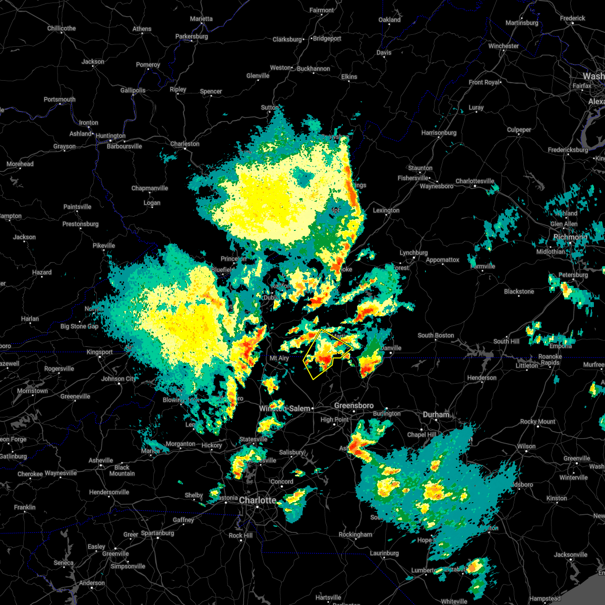 At 756 pm edt, a severe thunderstorm was located near sandy ridge, moving northeast at 35 mph (radar indicated). Hazards include 60 mph wind gusts and quarter size hail. Hail damage to vehicles is expected. expect wind damage to roofs, siding, and trees. locations impacted include, danbury, sandy ridge, spencer, sanville, penns store, critz, and prestonville. This includes the following locations the martinsville speedway and martinsville airport. At 756 pm edt, a severe thunderstorm was located near sandy ridge, moving northeast at 35 mph (radar indicated). Hazards include 60 mph wind gusts and quarter size hail. Hail damage to vehicles is expected. expect wind damage to roofs, siding, and trees. locations impacted include, danbury, sandy ridge, spencer, sanville, penns store, critz, and prestonville. This includes the following locations the martinsville speedway and martinsville airport.
|
| 5/6/2022 7:40 PM EDT |
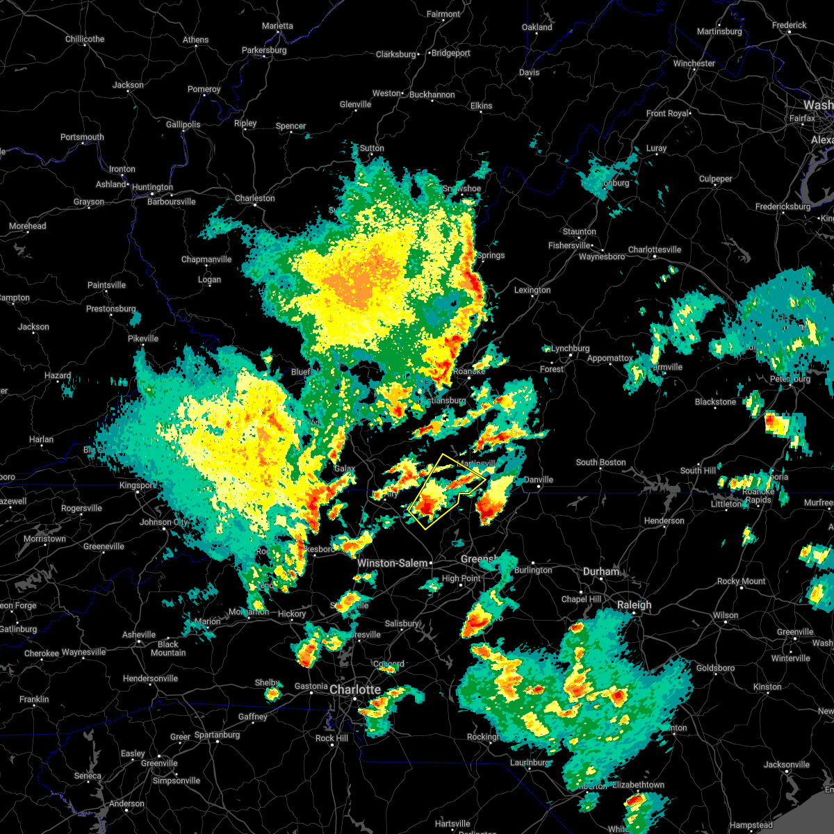 At 740 pm edt, a severe thunderstorm was located over hanging rock state park, or near danbury, moving northeast at 35 mph (radar indicated). Hazards include 60 mph wind gusts and quarter size hail. Hail damage to vehicles is expected. Expect wind damage to roofs, siding, and trees. At 740 pm edt, a severe thunderstorm was located over hanging rock state park, or near danbury, moving northeast at 35 mph (radar indicated). Hazards include 60 mph wind gusts and quarter size hail. Hail damage to vehicles is expected. Expect wind damage to roofs, siding, and trees.
|
| 5/6/2022 7:40 PM EDT |
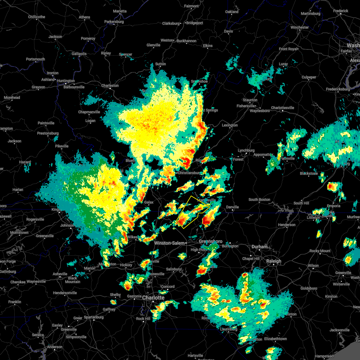 At 740 pm edt, a severe thunderstorm was located over hanging rock state park, or near danbury, moving northeast at 35 mph (radar indicated). Hazards include 60 mph wind gusts and quarter size hail. Hail damage to vehicles is expected. Expect wind damage to roofs, siding, and trees. At 740 pm edt, a severe thunderstorm was located over hanging rock state park, or near danbury, moving northeast at 35 mph (radar indicated). Hazards include 60 mph wind gusts and quarter size hail. Hail damage to vehicles is expected. Expect wind damage to roofs, siding, and trees.
|
| 9/22/2021 4:55 PM EDT |
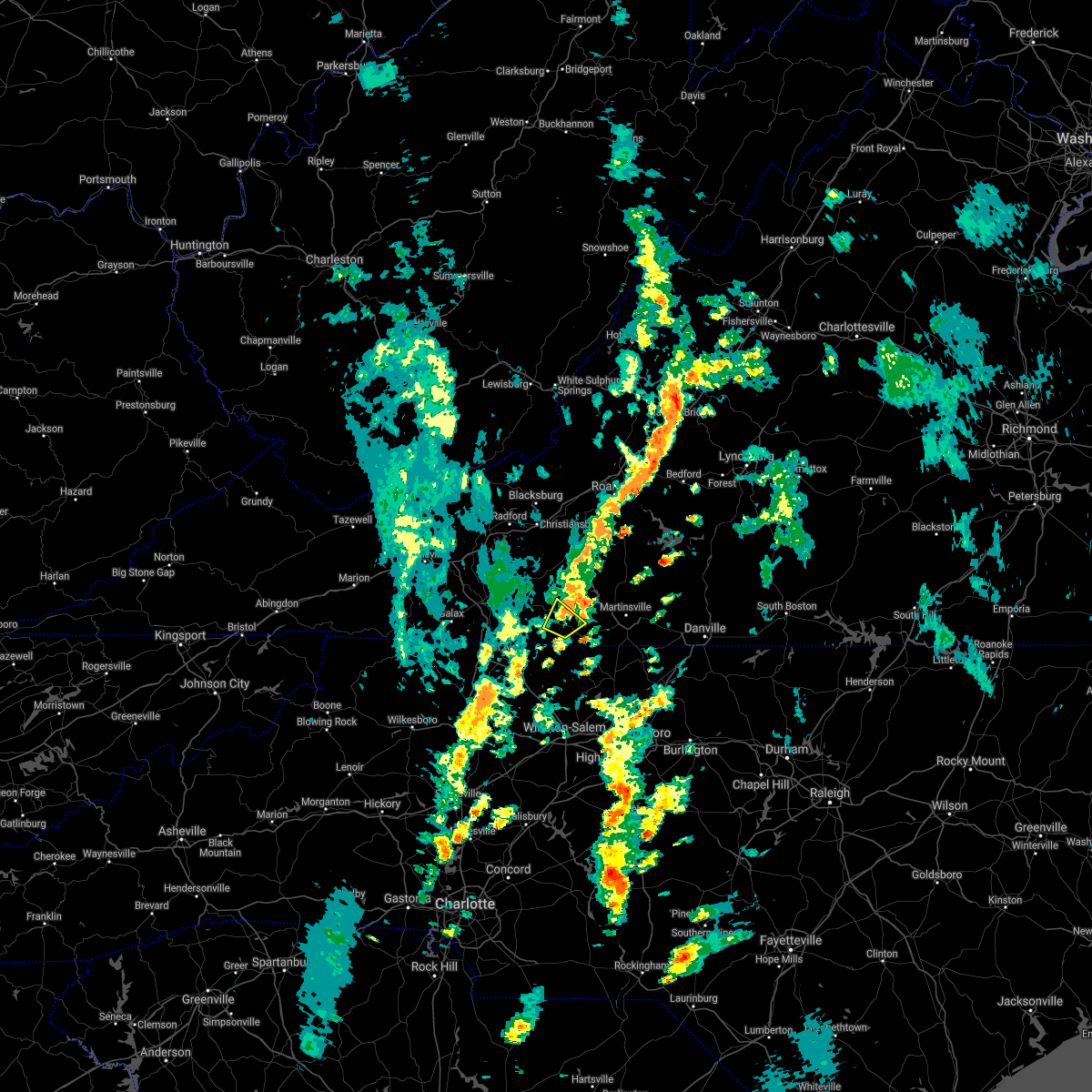 The severe thunderstorm warning for southeastern patrick county will expire at 500 pm edt, the storm which prompted the warning has weakened below severe limits, and has exited the warned area. therefore, the warning will be allowed to expire. The severe thunderstorm warning for southeastern patrick county will expire at 500 pm edt, the storm which prompted the warning has weakened below severe limits, and has exited the warned area. therefore, the warning will be allowed to expire.
|
| 9/22/2021 4:49 PM EDT |
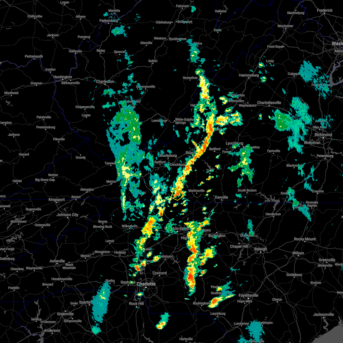 At 449 pm edt, a severe thunderstorm was located over patrick springs, or near stuart, moving northeast at 30 mph (radar indicated). Hazards include 60 mph wind gusts. Expect damage to roofs, siding, and trees. locations impacted include, stuart, patrick springs, critz, and buffalo ridge. hail threat, radar indicated max hail size, <. 75 in wind threat, radar indicated max wind gust, 60 mph. At 449 pm edt, a severe thunderstorm was located over patrick springs, or near stuart, moving northeast at 30 mph (radar indicated). Hazards include 60 mph wind gusts. Expect damage to roofs, siding, and trees. locations impacted include, stuart, patrick springs, critz, and buffalo ridge. hail threat, radar indicated max hail size, <. 75 in wind threat, radar indicated max wind gust, 60 mph.
|
| 9/22/2021 4:38 PM EDT |
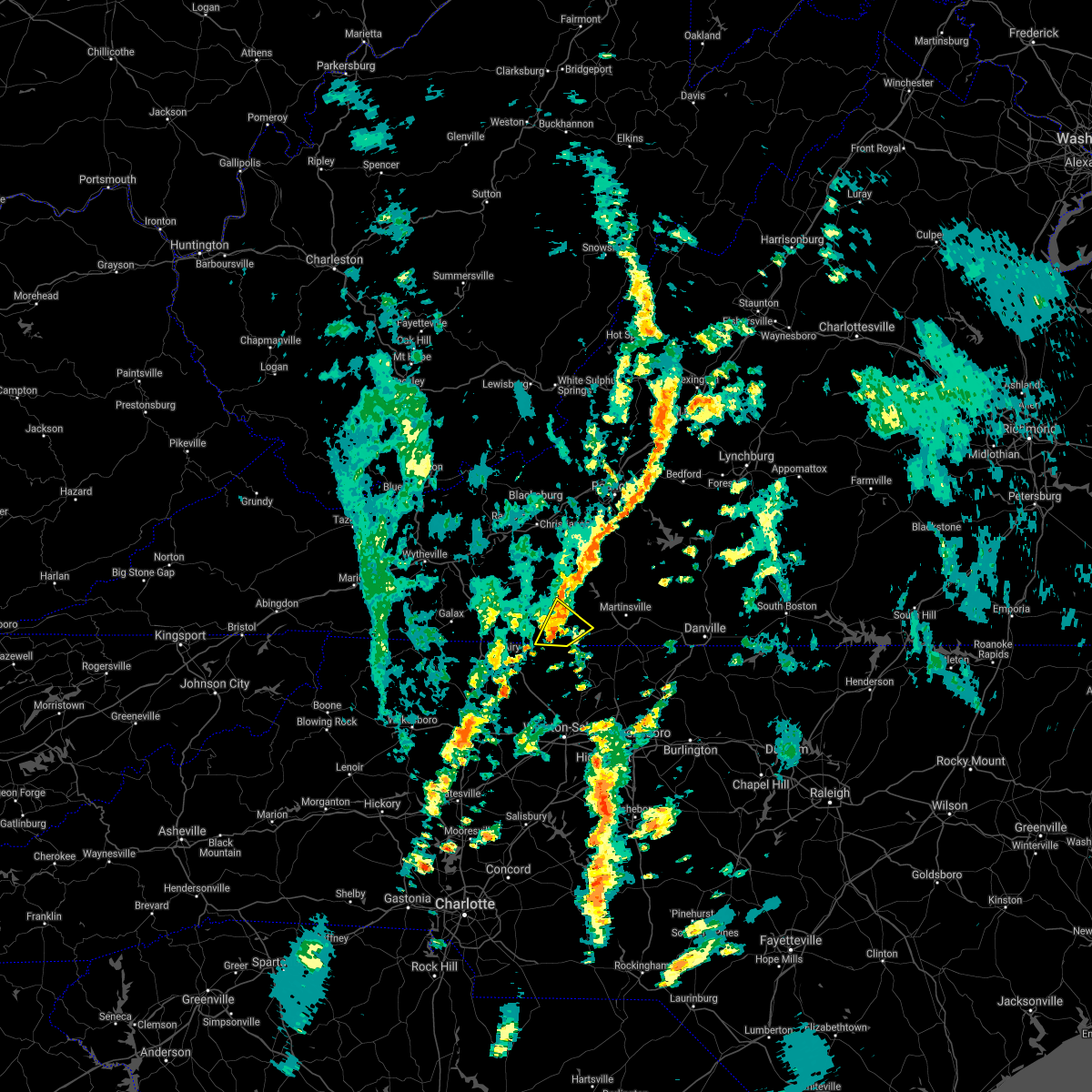 At 437 pm edt, a severe thunderstorm was located over stuart, moving northeast at 30 mph (radar indicated). Hazards include 60 mph wind gusts. Expect damage to roofs, siding, and trees. locations impacted include, stuart, patrick springs, critz, and buffalo ridge. hail threat, radar indicated max hail size, <. 75 in wind threat, radar indicated max wind gust, 60 mph. At 437 pm edt, a severe thunderstorm was located over stuart, moving northeast at 30 mph (radar indicated). Hazards include 60 mph wind gusts. Expect damage to roofs, siding, and trees. locations impacted include, stuart, patrick springs, critz, and buffalo ridge. hail threat, radar indicated max hail size, <. 75 in wind threat, radar indicated max wind gust, 60 mph.
|
| 9/22/2021 4:27 PM EDT |
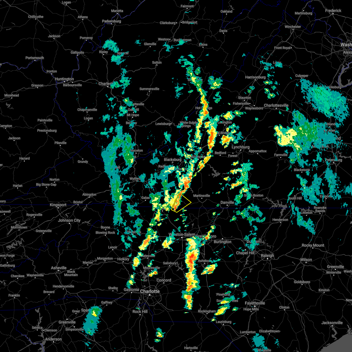 At 427 pm edt, a severe thunderstorm was located over collinstown, or near francisco, moving northeast at 35 mph (radar indicated). Hazards include 60 mph wind gusts. expect damage to roofs, siding, and trees At 427 pm edt, a severe thunderstorm was located over collinstown, or near francisco, moving northeast at 35 mph (radar indicated). Hazards include 60 mph wind gusts. expect damage to roofs, siding, and trees
|
| 9/22/2021 4:27 PM EDT |
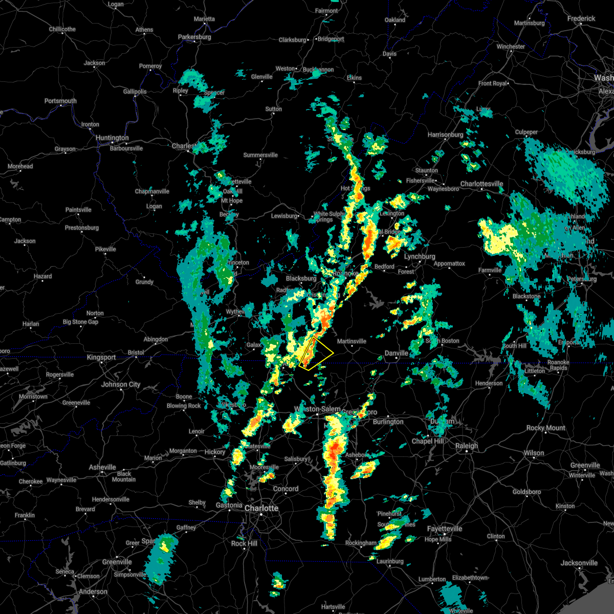 At 427 pm edt, a severe thunderstorm was located over collinstown, or near francisco, moving northeast at 35 mph (radar indicated). Hazards include 60 mph wind gusts. expect damage to roofs, siding, and trees At 427 pm edt, a severe thunderstorm was located over collinstown, or near francisco, moving northeast at 35 mph (radar indicated). Hazards include 60 mph wind gusts. expect damage to roofs, siding, and trees
|
| 8/21/2021 4:53 PM EDT |
Quarter sized hail reported 8.4 miles NE of Stuart, VA
|
| 8/21/2021 4:49 PM EDT |
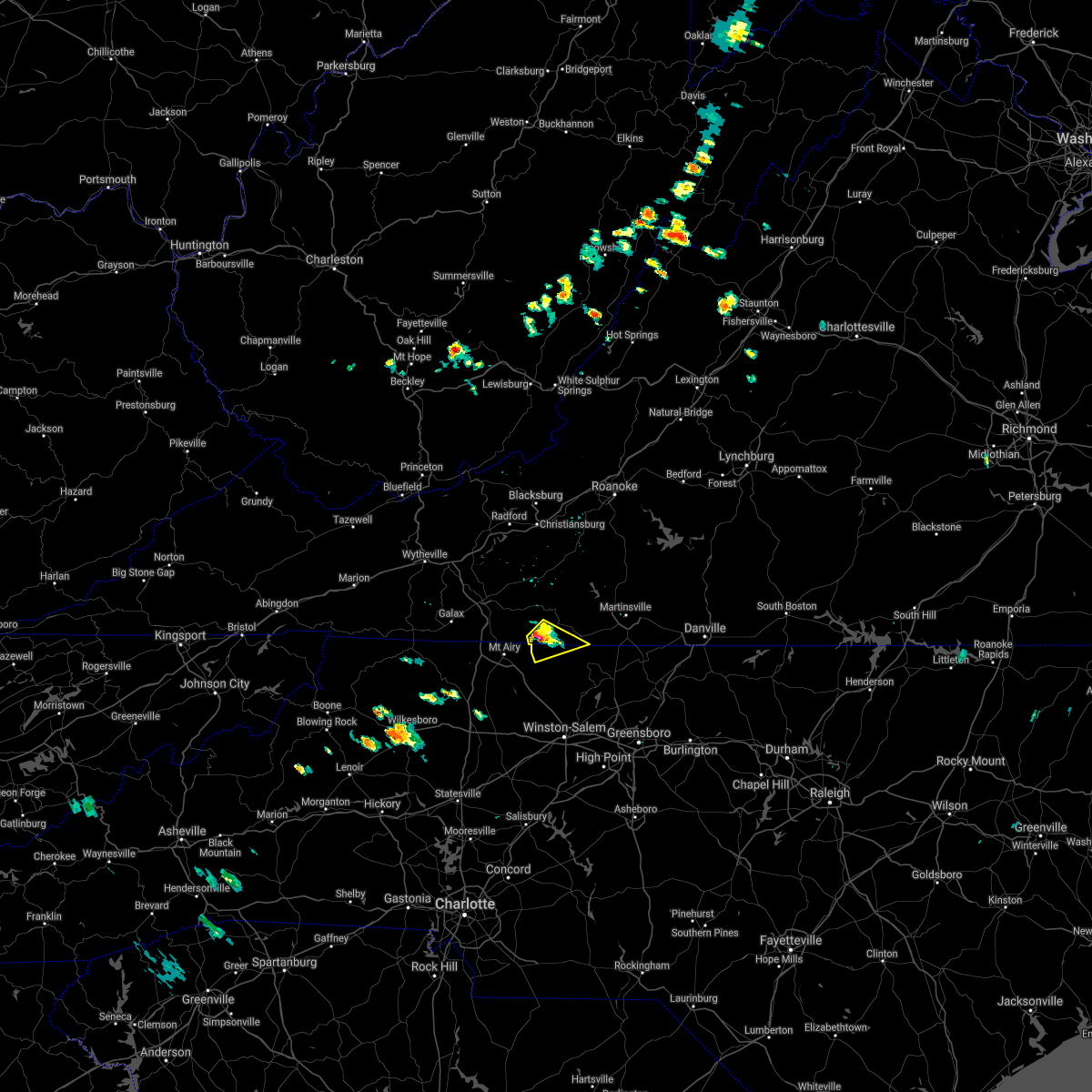 At 449 pm edt, a severe thunderstorm was located near collinstown, or near ararat, moving southeast at 10 mph (radar indicated). Hazards include 60 mph wind gusts and quarter size hail. Hail damage to vehicles is expected. expect wind damage to roofs, siding, and trees. Locations impacted include, francisco, and collinstown. At 449 pm edt, a severe thunderstorm was located near collinstown, or near ararat, moving southeast at 10 mph (radar indicated). Hazards include 60 mph wind gusts and quarter size hail. Hail damage to vehicles is expected. expect wind damage to roofs, siding, and trees. Locations impacted include, francisco, and collinstown.
|
| 8/21/2021 4:49 PM EDT |
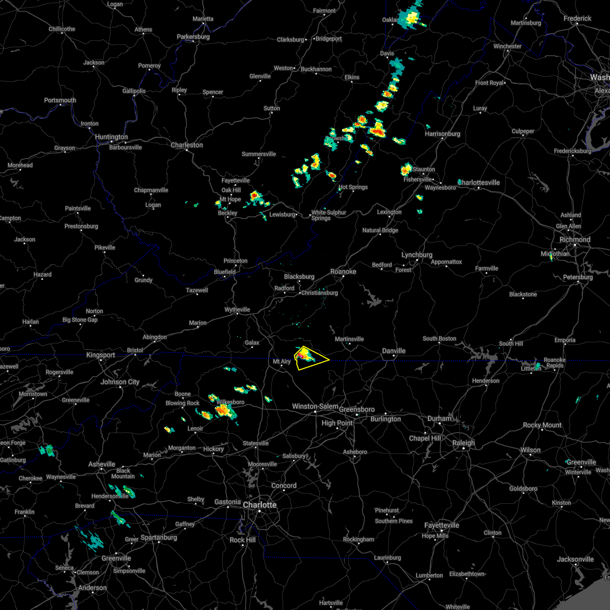 At 449 pm edt, a severe thunderstorm was located near collinstown, or near ararat, moving southeast at 10 mph (radar indicated). Hazards include 60 mph wind gusts and quarter size hail. Hail damage to vehicles is expected. expect wind damage to roofs, siding, and trees. Locations impacted include, francisco, and collinstown. At 449 pm edt, a severe thunderstorm was located near collinstown, or near ararat, moving southeast at 10 mph (radar indicated). Hazards include 60 mph wind gusts and quarter size hail. Hail damage to vehicles is expected. expect wind damage to roofs, siding, and trees. Locations impacted include, francisco, and collinstown.
|
| 8/21/2021 4:46 PM EDT |
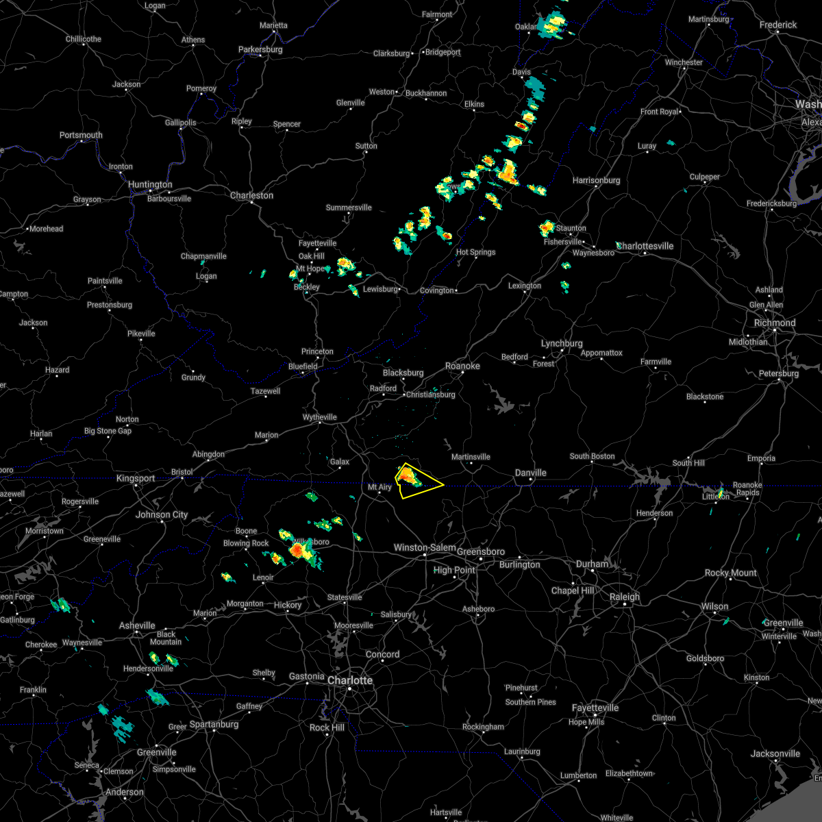 At 446 pm edt, a severe thunderstorm was located near ararat, moving southeast at 10 mph (radar indicated). Hazards include 60 mph wind gusts and quarter size hail. Hail damage to vehicles is expected. Expect wind damage to roofs, siding, and trees. At 446 pm edt, a severe thunderstorm was located near ararat, moving southeast at 10 mph (radar indicated). Hazards include 60 mph wind gusts and quarter size hail. Hail damage to vehicles is expected. Expect wind damage to roofs, siding, and trees.
|
| 8/21/2021 4:46 PM EDT |
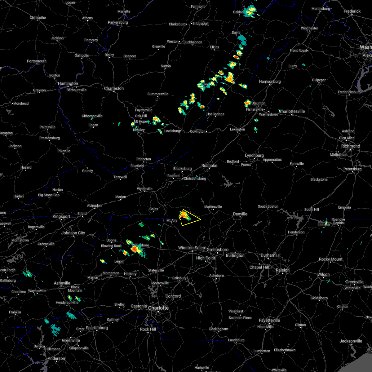 At 446 pm edt, a severe thunderstorm was located near ararat, moving southeast at 10 mph (radar indicated). Hazards include 60 mph wind gusts and quarter size hail. Hail damage to vehicles is expected. Expect wind damage to roofs, siding, and trees. At 446 pm edt, a severe thunderstorm was located near ararat, moving southeast at 10 mph (radar indicated). Hazards include 60 mph wind gusts and quarter size hail. Hail damage to vehicles is expected. Expect wind damage to roofs, siding, and trees.
|
| 8/17/2021 2:43 PM EDT |
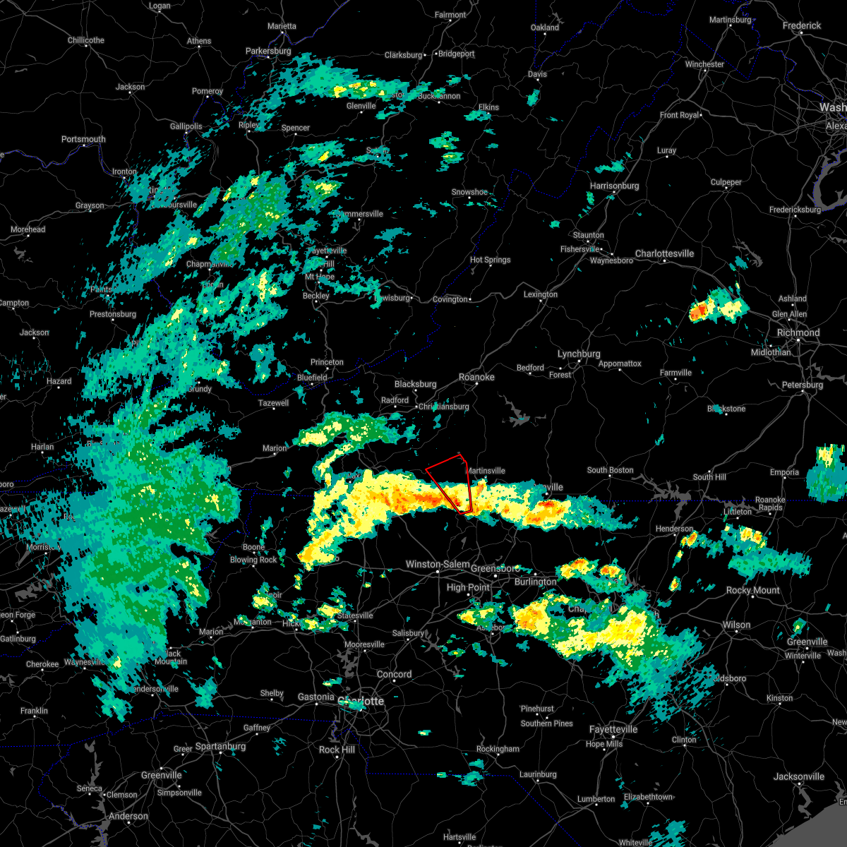 At 243 pm edt, a shower capable of producing a tornado was located near ayersville, or near sandy ridge, moving north at 25 mph (radar indicated rotation). Hazards include tornado. Flying debris will be dangerous to those caught without shelter. mobile homes will be damaged or destroyed. damage to roofs, windows, and vehicles will occur. Tree damage is likely. At 243 pm edt, a shower capable of producing a tornado was located near ayersville, or near sandy ridge, moving north at 25 mph (radar indicated rotation). Hazards include tornado. Flying debris will be dangerous to those caught without shelter. mobile homes will be damaged or destroyed. damage to roofs, windows, and vehicles will occur. Tree damage is likely.
|
| 8/17/2021 2:43 PM EDT |
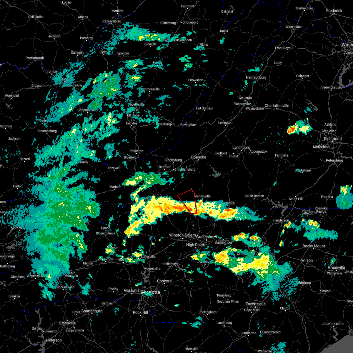 At 243 pm edt, a shower capable of producing a tornado was located near ayersville, or near sandy ridge, moving north at 25 mph (radar indicated rotation). Hazards include tornado. Flying debris will be dangerous to those caught without shelter. mobile homes will be damaged or destroyed. damage to roofs, windows, and vehicles will occur. Tree damage is likely. At 243 pm edt, a shower capable of producing a tornado was located near ayersville, or near sandy ridge, moving north at 25 mph (radar indicated rotation). Hazards include tornado. Flying debris will be dangerous to those caught without shelter. mobile homes will be damaged or destroyed. damage to roofs, windows, and vehicles will occur. Tree damage is likely.
|
| 8/12/2021 4:16 PM EDT |
Multiple trees were blown down by thunderstorm winds around the community of vest in patrick county VA, 7.6 miles SE of Stuart, VA
|
| 8/12/2021 3:58 PM EDT |
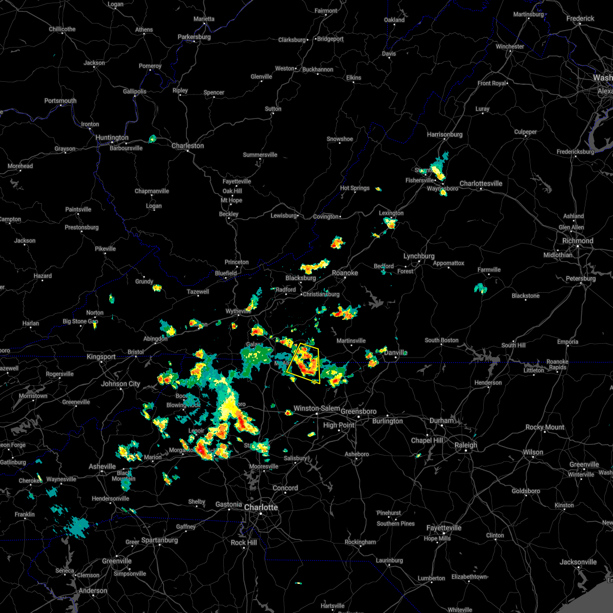 At 358 pm edt, a severe thunderstorm was located near collinstown, or near stuart, and is nearly stationary (radar indicated). Hazards include 60 mph wind gusts and quarter size hail. Hail damage to vehicles is expected. Expect wind damage to roofs, siding, and trees. At 358 pm edt, a severe thunderstorm was located near collinstown, or near stuart, and is nearly stationary (radar indicated). Hazards include 60 mph wind gusts and quarter size hail. Hail damage to vehicles is expected. Expect wind damage to roofs, siding, and trees.
|
| 8/12/2021 3:58 PM EDT |
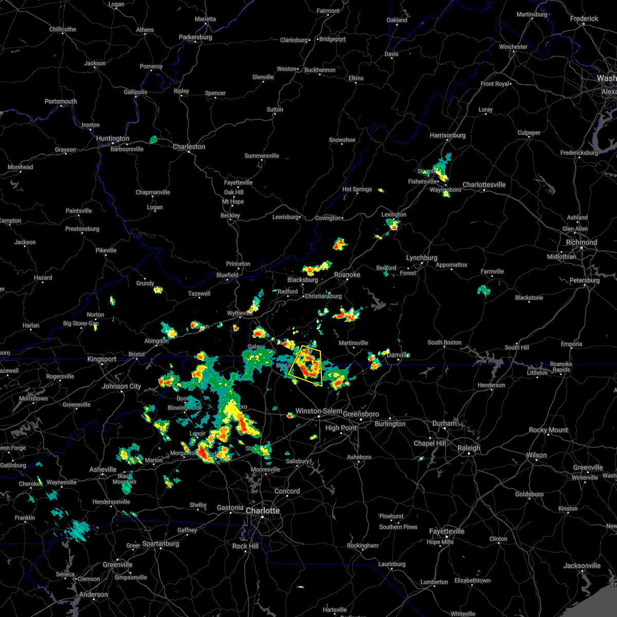 At 358 pm edt, a severe thunderstorm was located near collinstown, or near stuart, and is nearly stationary (radar indicated). Hazards include 60 mph wind gusts and quarter size hail. Hail damage to vehicles is expected. Expect wind damage to roofs, siding, and trees. At 358 pm edt, a severe thunderstorm was located near collinstown, or near stuart, and is nearly stationary (radar indicated). Hazards include 60 mph wind gusts and quarter size hail. Hail damage to vehicles is expected. Expect wind damage to roofs, siding, and trees.
|
| 8/12/2021 3:58 PM EDT |
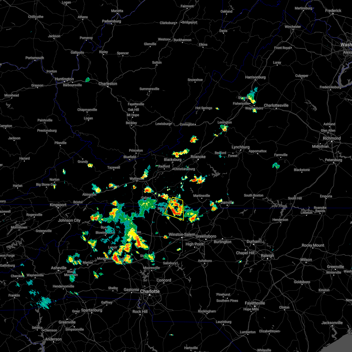 At 358 pm edt, a severe thunderstorm was located near collinstown, or near stuart, and is nearly stationary (radar indicated). Hazards include 60 mph wind gusts and quarter size hail. Hail damage to vehicles is expected. Expect wind damage to roofs, siding, and trees. At 358 pm edt, a severe thunderstorm was located near collinstown, or near stuart, and is nearly stationary (radar indicated). Hazards include 60 mph wind gusts and quarter size hail. Hail damage to vehicles is expected. Expect wind damage to roofs, siding, and trees.
|
| 8/11/2021 3:10 PM EDT |
 The severe thunderstorm warning for northeastern stokes and southeastern patrick counties will expire at 315 pm edt, the storm which prompted the warning has moved out of the area. therefore, the warning will be allowed to expire. a severe thunderstorm watch remains in effect until 900 pm edt for south central, southwestern and west central virginia. The severe thunderstorm warning for northeastern stokes and southeastern patrick counties will expire at 315 pm edt, the storm which prompted the warning has moved out of the area. therefore, the warning will be allowed to expire. a severe thunderstorm watch remains in effect until 900 pm edt for south central, southwestern and west central virginia.
|
| 8/11/2021 3:10 PM EDT |
 The severe thunderstorm warning for northeastern stokes and southeastern patrick counties will expire at 315 pm edt, the storm which prompted the warning has moved out of the area. therefore, the warning will be allowed to expire. a severe thunderstorm watch remains in effect until 900 pm edt for south central, southwestern and west central virginia. The severe thunderstorm warning for northeastern stokes and southeastern patrick counties will expire at 315 pm edt, the storm which prompted the warning has moved out of the area. therefore, the warning will be allowed to expire. a severe thunderstorm watch remains in effect until 900 pm edt for south central, southwestern and west central virginia.
|
|
|
| 8/11/2021 2:57 PM EDT |
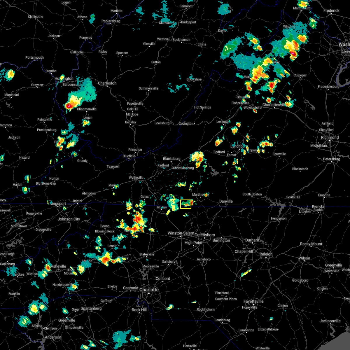 At 257 pm edt, a severe thunderstorm was located over penns store, or near spencer, moving east at 30 mph (radar indicated). Hazards include 60 mph wind gusts and quarter size hail. Hail damage to vehicles is expected. expect wind damage to roofs, siding, and trees. locations impacted include, patrick springs, penns store, and critz. hail threat, radar indicated max hail size, 1. 00 in wind threat, radar indicated max wind gust, 60 mph. At 257 pm edt, a severe thunderstorm was located over penns store, or near spencer, moving east at 30 mph (radar indicated). Hazards include 60 mph wind gusts and quarter size hail. Hail damage to vehicles is expected. expect wind damage to roofs, siding, and trees. locations impacted include, patrick springs, penns store, and critz. hail threat, radar indicated max hail size, 1. 00 in wind threat, radar indicated max wind gust, 60 mph.
|
| 8/11/2021 2:57 PM EDT |
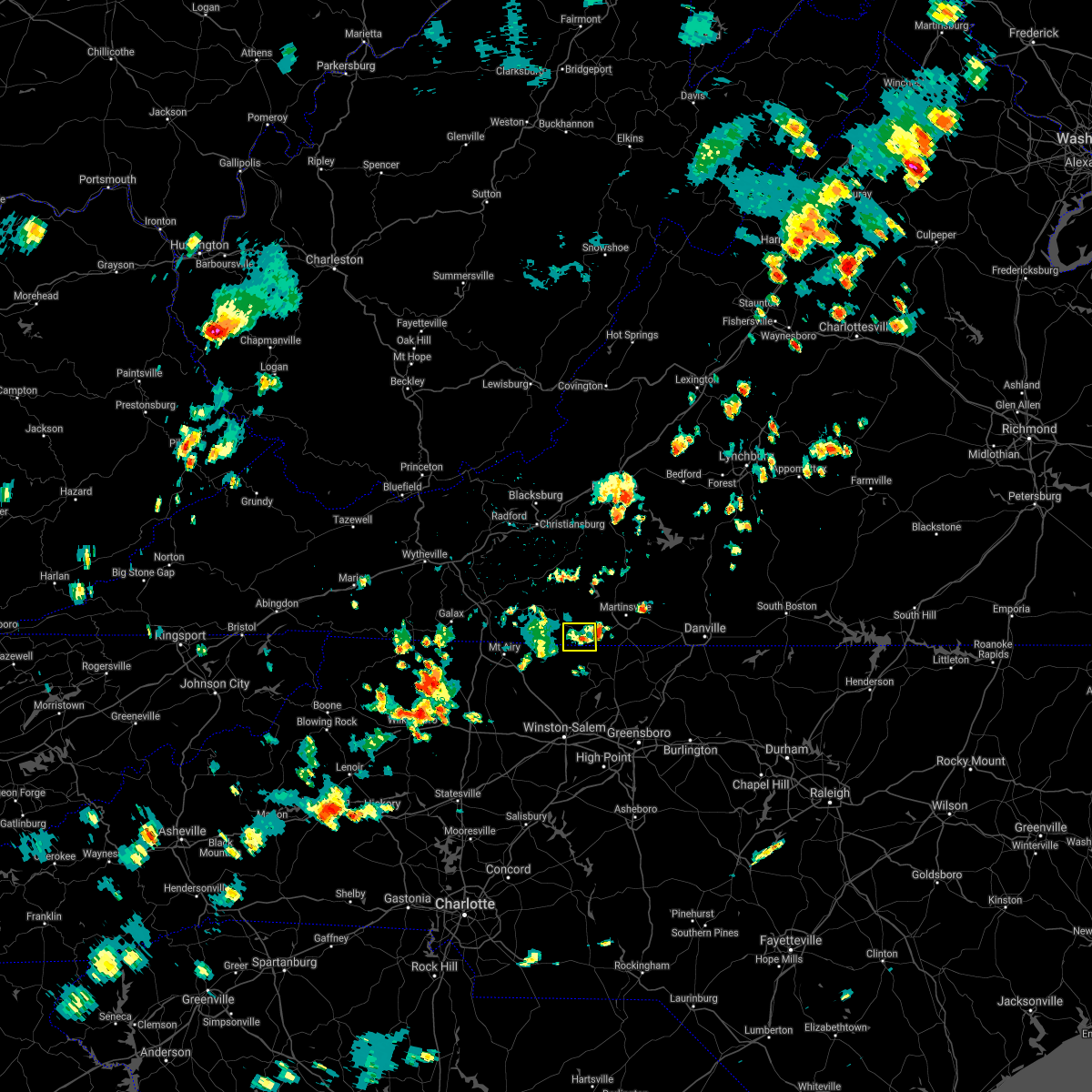 At 257 pm edt, a severe thunderstorm was located over penns store, or near spencer, moving east at 30 mph (radar indicated). Hazards include 60 mph wind gusts and quarter size hail. Hail damage to vehicles is expected. expect wind damage to roofs, siding, and trees. locations impacted include, patrick springs, penns store, and critz. hail threat, radar indicated max hail size, 1. 00 in wind threat, radar indicated max wind gust, 60 mph. At 257 pm edt, a severe thunderstorm was located over penns store, or near spencer, moving east at 30 mph (radar indicated). Hazards include 60 mph wind gusts and quarter size hail. Hail damage to vehicles is expected. expect wind damage to roofs, siding, and trees. locations impacted include, patrick springs, penns store, and critz. hail threat, radar indicated max hail size, 1. 00 in wind threat, radar indicated max wind gust, 60 mph.
|
| 8/11/2021 2:44 PM EDT |
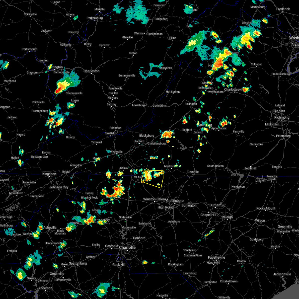 At 244 pm edt, a severe thunderstorm was located near collinstown, or near francisco, moving northeast at 20 mph (radar indicated). Hazards include 60 mph wind gusts and quarter size hail. Hail damage to vehicles is expected. expect wind damage to roofs, siding, and trees. locations impacted include, stuart, danbury, francisco, sandy ridge, critz, woodville, and collinstown. hail threat, radar indicated max hail size, 1. 00 in wind threat, radar indicated max wind gust, 60 mph. At 244 pm edt, a severe thunderstorm was located near collinstown, or near francisco, moving northeast at 20 mph (radar indicated). Hazards include 60 mph wind gusts and quarter size hail. Hail damage to vehicles is expected. expect wind damage to roofs, siding, and trees. locations impacted include, stuart, danbury, francisco, sandy ridge, critz, woodville, and collinstown. hail threat, radar indicated max hail size, 1. 00 in wind threat, radar indicated max wind gust, 60 mph.
|
| 8/11/2021 2:44 PM EDT |
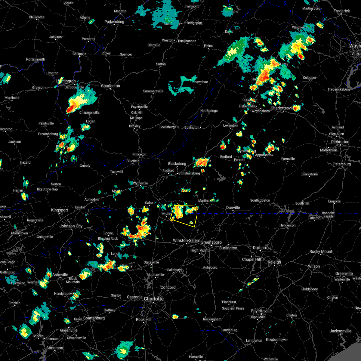 At 244 pm edt, a severe thunderstorm was located near collinstown, or near francisco, moving northeast at 20 mph (radar indicated). Hazards include 60 mph wind gusts and quarter size hail. Hail damage to vehicles is expected. expect wind damage to roofs, siding, and trees. locations impacted include, stuart, danbury, francisco, sandy ridge, critz, woodville, and collinstown. hail threat, radar indicated max hail size, 1. 00 in wind threat, radar indicated max wind gust, 60 mph. At 244 pm edt, a severe thunderstorm was located near collinstown, or near francisco, moving northeast at 20 mph (radar indicated). Hazards include 60 mph wind gusts and quarter size hail. Hail damage to vehicles is expected. expect wind damage to roofs, siding, and trees. locations impacted include, stuart, danbury, francisco, sandy ridge, critz, woodville, and collinstown. hail threat, radar indicated max hail size, 1. 00 in wind threat, radar indicated max wind gust, 60 mph.
|
| 8/11/2021 2:33 PM EDT |
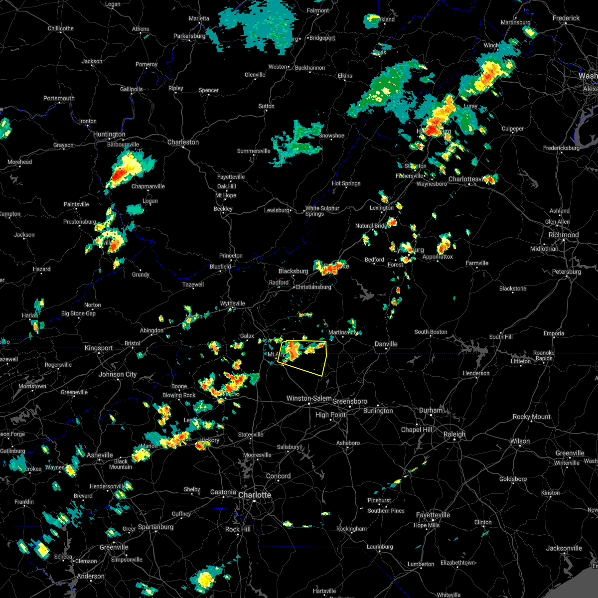 At 233 pm edt, a severe thunderstorm was located near collinstown, or near francisco, moving east at 10 mph (radar indicated). Hazards include 60 mph wind gusts and quarter size hail. Hail damage to vehicles is expected. expect wind damage to roofs, siding, and trees. locations impacted include, flat rock, stuart, danbury, ararat, francisco, sandy ridge, and critz. hail threat, radar indicated max hail size, 1. 00 in wind threat, radar indicated max wind gust, 60 mph. At 233 pm edt, a severe thunderstorm was located near collinstown, or near francisco, moving east at 10 mph (radar indicated). Hazards include 60 mph wind gusts and quarter size hail. Hail damage to vehicles is expected. expect wind damage to roofs, siding, and trees. locations impacted include, flat rock, stuart, danbury, ararat, francisco, sandy ridge, and critz. hail threat, radar indicated max hail size, 1. 00 in wind threat, radar indicated max wind gust, 60 mph.
|
| 8/11/2021 2:33 PM EDT |
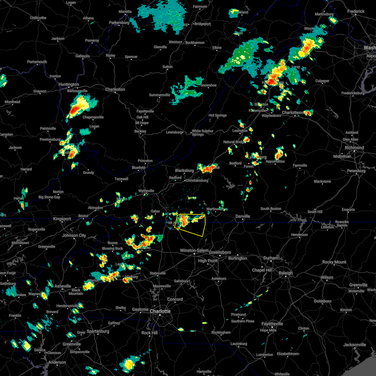 At 233 pm edt, a severe thunderstorm was located near collinstown, or near francisco, moving east at 10 mph (radar indicated). Hazards include 60 mph wind gusts and quarter size hail. Hail damage to vehicles is expected. expect wind damage to roofs, siding, and trees. locations impacted include, flat rock, stuart, danbury, ararat, francisco, sandy ridge, and critz. hail threat, radar indicated max hail size, 1. 00 in wind threat, radar indicated max wind gust, 60 mph. At 233 pm edt, a severe thunderstorm was located near collinstown, or near francisco, moving east at 10 mph (radar indicated). Hazards include 60 mph wind gusts and quarter size hail. Hail damage to vehicles is expected. expect wind damage to roofs, siding, and trees. locations impacted include, flat rock, stuart, danbury, ararat, francisco, sandy ridge, and critz. hail threat, radar indicated max hail size, 1. 00 in wind threat, radar indicated max wind gust, 60 mph.
|
| 8/11/2021 2:17 PM EDT |
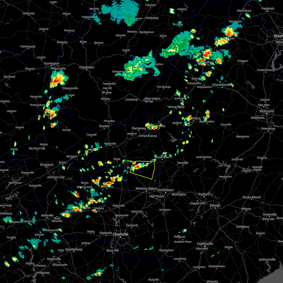 At 217 pm edt, a severe thunderstorm was located over woodville, or near ararat, moving northeast at 20 mph (radar indicated). Hazards include 60 mph wind gusts and quarter size hail. Hail damage to vehicles is expected. Expect wind damage to roofs, siding, and trees. At 217 pm edt, a severe thunderstorm was located over woodville, or near ararat, moving northeast at 20 mph (radar indicated). Hazards include 60 mph wind gusts and quarter size hail. Hail damage to vehicles is expected. Expect wind damage to roofs, siding, and trees.
|
| 8/11/2021 2:17 PM EDT |
 At 217 pm edt, a severe thunderstorm was located over woodville, or near ararat, moving northeast at 20 mph (radar indicated). Hazards include 60 mph wind gusts and quarter size hail. Hail damage to vehicles is expected. Expect wind damage to roofs, siding, and trees. At 217 pm edt, a severe thunderstorm was located over woodville, or near ararat, moving northeast at 20 mph (radar indicated). Hazards include 60 mph wind gusts and quarter size hail. Hail damage to vehicles is expected. Expect wind damage to roofs, siding, and trees.
|
| 8/10/2021 3:25 PM EDT |
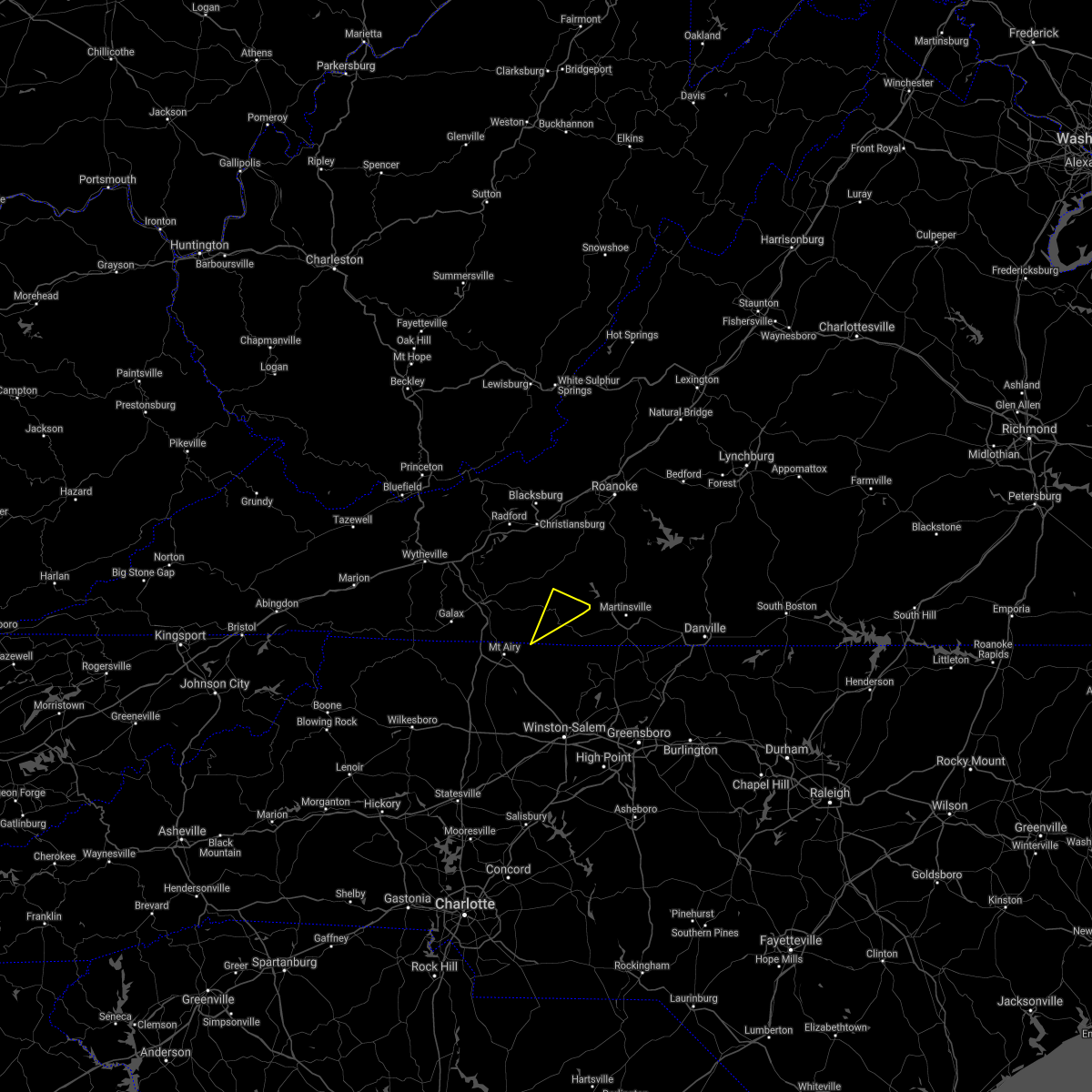 The severe thunderstorm warning for central patrick county will expire at 330 pm edt, the storms which prompted the warning have weakened below severe limits, and have exited the warned area. therefore, the warning will be allowed to expire. The severe thunderstorm warning for central patrick county will expire at 330 pm edt, the storms which prompted the warning have weakened below severe limits, and have exited the warned area. therefore, the warning will be allowed to expire.
|
| 8/10/2021 3:22 PM EDT |
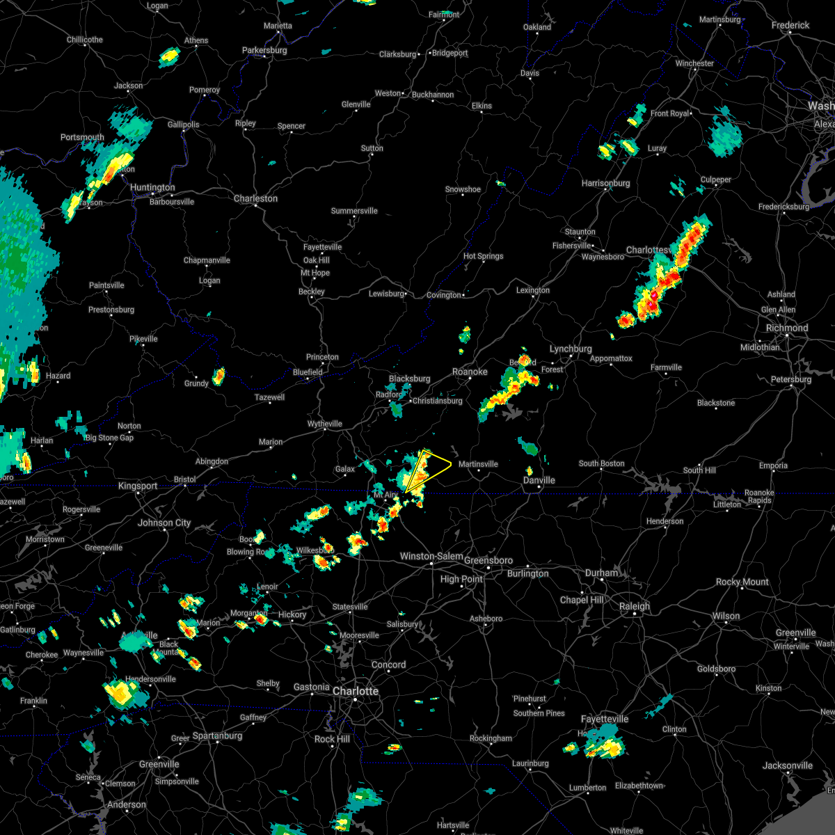 At 322 pm edt, severe thunderstorms were located along a line extending from near sydnorsville to near mabry mill, moving east at 40 mph (radar indicated). Hazards include 60 mph wind gusts and quarter size hail. Hail damage to vehicles is expected. expect wind damage to roofs, siding, and trees. locations impacted include, stuart, woolwine, buffalo ridge, and patrick springs. hail threat, radar indicated max hail size, 1. 00 in wind threat, radar indicated max wind gust, 60 mph. At 322 pm edt, severe thunderstorms were located along a line extending from near sydnorsville to near mabry mill, moving east at 40 mph (radar indicated). Hazards include 60 mph wind gusts and quarter size hail. Hail damage to vehicles is expected. expect wind damage to roofs, siding, and trees. locations impacted include, stuart, woolwine, buffalo ridge, and patrick springs. hail threat, radar indicated max hail size, 1. 00 in wind threat, radar indicated max wind gust, 60 mph.
|
| 8/10/2021 3:09 PM EDT |
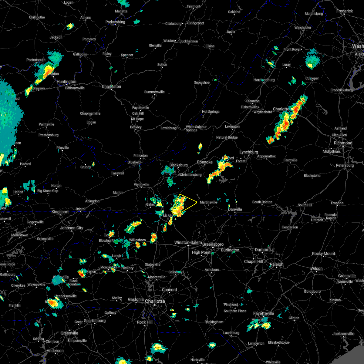 At 309 pm edt, severe thunderstorms were located along a line extending from near fairy stone state park to laurel fork, moving east at 40 mph (radar indicated). Hazards include 60 mph wind gusts and quarter size hail. Hail damage to vehicles is expected. expect wind damage to roofs, siding, and trees. locations impacted include, stuart, woolwine, ararat, meadows of dan, mabry mill, buffalo ridge, and rocky knob recreation area. hail threat, radar indicated max hail size, 1. 00 in wind threat, radar indicated max wind gust, 60 mph. At 309 pm edt, severe thunderstorms were located along a line extending from near fairy stone state park to laurel fork, moving east at 40 mph (radar indicated). Hazards include 60 mph wind gusts and quarter size hail. Hail damage to vehicles is expected. expect wind damage to roofs, siding, and trees. locations impacted include, stuart, woolwine, ararat, meadows of dan, mabry mill, buffalo ridge, and rocky knob recreation area. hail threat, radar indicated max hail size, 1. 00 in wind threat, radar indicated max wind gust, 60 mph.
|
| 8/10/2021 3:00 PM EDT |
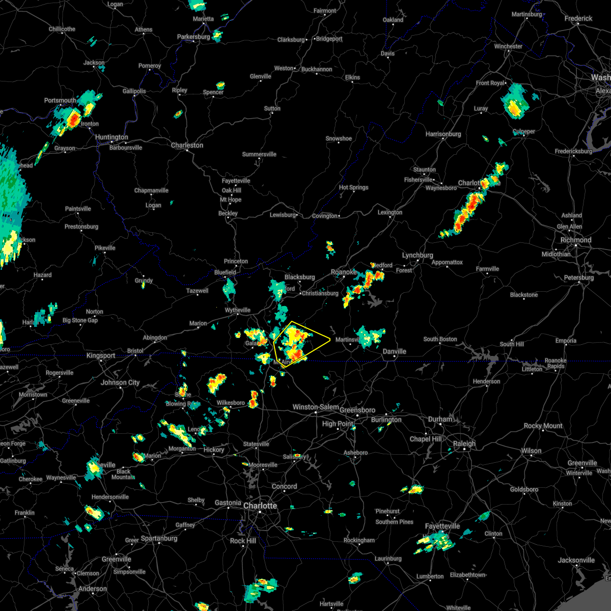 At 300 pm edt, severe thunderstorms were located along a line extending from near endicott to near gladesboro, moving east at 40 mph (radar indicated). Hazards include 60 mph wind gusts and quarter size hail. Hail damage to vehicles is expected. expect wind damage to roofs, siding, and trees. locations impacted include, mount airy, flat rock, stuart, ararat, cana, woolwine, and willis. hail threat, radar indicated max hail size, 1. 00 in wind threat, radar indicated max wind gust, 60 mph. At 300 pm edt, severe thunderstorms were located along a line extending from near endicott to near gladesboro, moving east at 40 mph (radar indicated). Hazards include 60 mph wind gusts and quarter size hail. Hail damage to vehicles is expected. expect wind damage to roofs, siding, and trees. locations impacted include, mount airy, flat rock, stuart, ararat, cana, woolwine, and willis. hail threat, radar indicated max hail size, 1. 00 in wind threat, radar indicated max wind gust, 60 mph.
|
| 8/10/2021 3:00 PM EDT |
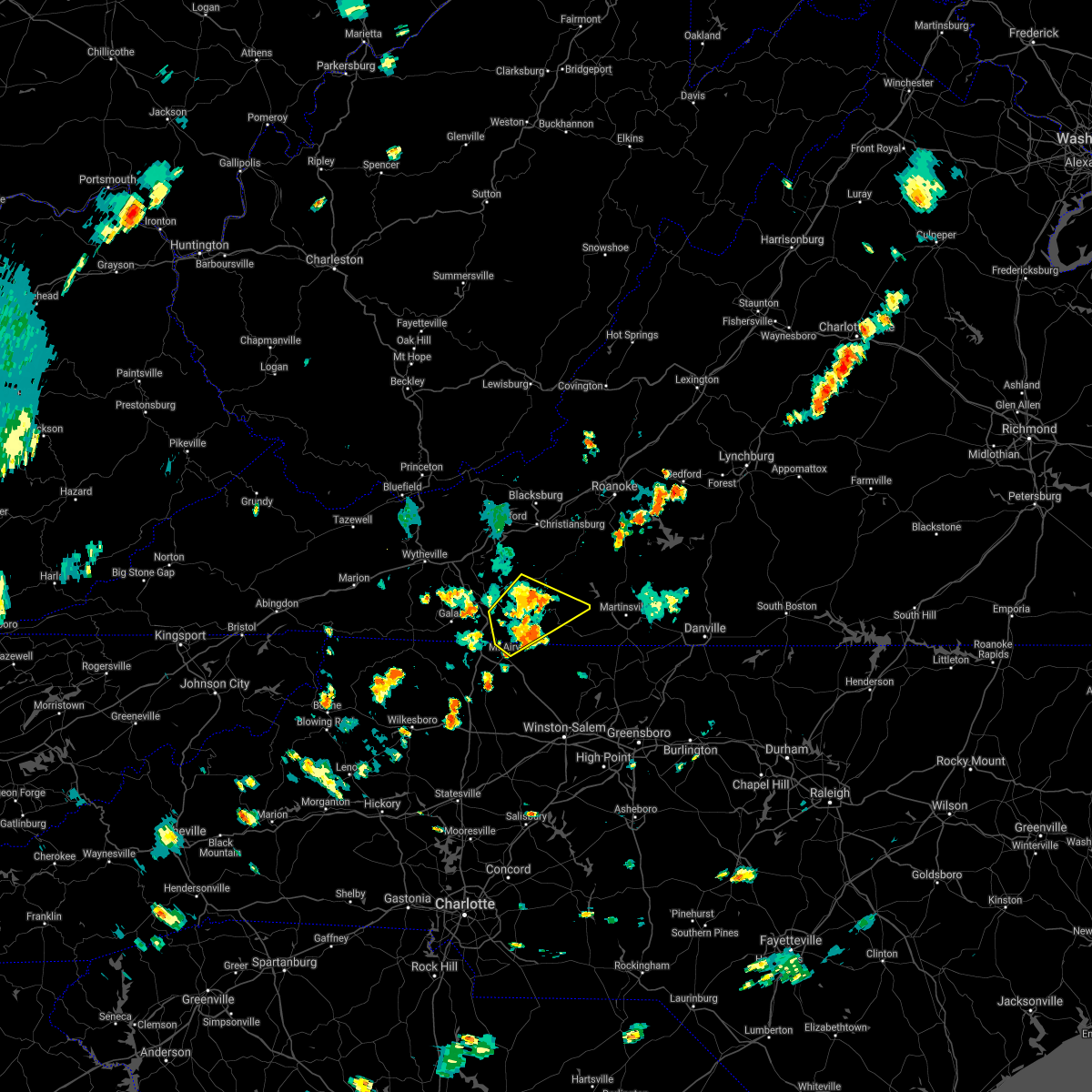 At 300 pm edt, severe thunderstorms were located along a line extending from near endicott to near gladesboro, moving east at 40 mph (radar indicated). Hazards include 60 mph wind gusts and quarter size hail. Hail damage to vehicles is expected. expect wind damage to roofs, siding, and trees. locations impacted include, mount airy, flat rock, stuart, ararat, cana, woolwine, and willis. hail threat, radar indicated max hail size, 1. 00 in wind threat, radar indicated max wind gust, 60 mph. At 300 pm edt, severe thunderstorms were located along a line extending from near endicott to near gladesboro, moving east at 40 mph (radar indicated). Hazards include 60 mph wind gusts and quarter size hail. Hail damage to vehicles is expected. expect wind damage to roofs, siding, and trees. locations impacted include, mount airy, flat rock, stuart, ararat, cana, woolwine, and willis. hail threat, radar indicated max hail size, 1. 00 in wind threat, radar indicated max wind gust, 60 mph.
|
| 8/10/2021 2:49 PM EDT |
 At 249 pm edt, severe thunderstorms were located along a line extending from near charity to near fancy gap, moving east at 40 mph (radar indicated). Hazards include 60 mph wind gusts and quarter size hail. Hail damage to vehicles is expected. expect wind damage to roofs, siding, and trees. locations impacted include, mount airy, flat rock, hillsville, stuart, fries, fancy gap, and ararat. hail threat, radar indicated max hail size, 1. 00 in wind threat, radar indicated max wind gust, 60 mph. At 249 pm edt, severe thunderstorms were located along a line extending from near charity to near fancy gap, moving east at 40 mph (radar indicated). Hazards include 60 mph wind gusts and quarter size hail. Hail damage to vehicles is expected. expect wind damage to roofs, siding, and trees. locations impacted include, mount airy, flat rock, hillsville, stuart, fries, fancy gap, and ararat. hail threat, radar indicated max hail size, 1. 00 in wind threat, radar indicated max wind gust, 60 mph.
|
| 8/10/2021 2:49 PM EDT |
 At 249 pm edt, severe thunderstorms were located along a line extending from near charity to near fancy gap, moving east at 40 mph (radar indicated). Hazards include 60 mph wind gusts and quarter size hail. Hail damage to vehicles is expected. expect wind damage to roofs, siding, and trees. locations impacted include, mount airy, flat rock, hillsville, stuart, fries, fancy gap, and ararat. hail threat, radar indicated max hail size, 1. 00 in wind threat, radar indicated max wind gust, 60 mph. At 249 pm edt, severe thunderstorms were located along a line extending from near charity to near fancy gap, moving east at 40 mph (radar indicated). Hazards include 60 mph wind gusts and quarter size hail. Hail damage to vehicles is expected. expect wind damage to roofs, siding, and trees. locations impacted include, mount airy, flat rock, hillsville, stuart, fries, fancy gap, and ararat. hail threat, radar indicated max hail size, 1. 00 in wind threat, radar indicated max wind gust, 60 mph.
|
| 8/10/2021 2:28 PM EDT |
 At 228 pm edt, severe thunderstorms were located along a line extending from near willis to near galax, moving east at 20 mph (radar indicated). Hazards include 60 mph wind gusts and quarter size hail. Hail damage to vehicles is expected. Expect wind damage to roofs, siding, and trees. At 228 pm edt, severe thunderstorms were located along a line extending from near willis to near galax, moving east at 20 mph (radar indicated). Hazards include 60 mph wind gusts and quarter size hail. Hail damage to vehicles is expected. Expect wind damage to roofs, siding, and trees.
|
| 8/10/2021 2:28 PM EDT |
 At 228 pm edt, severe thunderstorms were located along a line extending from near willis to near galax, moving east at 20 mph (radar indicated). Hazards include 60 mph wind gusts and quarter size hail. Hail damage to vehicles is expected. Expect wind damage to roofs, siding, and trees. At 228 pm edt, severe thunderstorms were located along a line extending from near willis to near galax, moving east at 20 mph (radar indicated). Hazards include 60 mph wind gusts and quarter size hail. Hail damage to vehicles is expected. Expect wind damage to roofs, siding, and trees.
|
| 8/7/2021 7:29 PM EDT |
 At 729 pm edt, severe thunderstorms were located along a line extending from meadows of dan to near nebo, moving east at 10 mph (public reported multiple trees down in mount airy). Hazards include 60 mph wind gusts and quarter size hail. Hail damage to vehicles is expected. expect wind damage to roofs, siding, and trees. locations impacted include, mount airy, flat rock, yadkinville, pilot mountain, stuart, east bend, and francisco. hail threat, radar indicated max hail size, 1. 00 in wind threat, radar indicated max wind gust, 60 mph. At 729 pm edt, severe thunderstorms were located along a line extending from meadows of dan to near nebo, moving east at 10 mph (public reported multiple trees down in mount airy). Hazards include 60 mph wind gusts and quarter size hail. Hail damage to vehicles is expected. expect wind damage to roofs, siding, and trees. locations impacted include, mount airy, flat rock, yadkinville, pilot mountain, stuart, east bend, and francisco. hail threat, radar indicated max hail size, 1. 00 in wind threat, radar indicated max wind gust, 60 mph.
|
| 8/7/2021 7:29 PM EDT |
 At 729 pm edt, severe thunderstorms were located along a line extending from meadows of dan to near nebo, moving east at 10 mph (public reported multiple trees down in mount airy). Hazards include 60 mph wind gusts and quarter size hail. Hail damage to vehicles is expected. expect wind damage to roofs, siding, and trees. locations impacted include, mount airy, flat rock, yadkinville, pilot mountain, stuart, east bend, and francisco. hail threat, radar indicated max hail size, 1. 00 in wind threat, radar indicated max wind gust, 60 mph. At 729 pm edt, severe thunderstorms were located along a line extending from meadows of dan to near nebo, moving east at 10 mph (public reported multiple trees down in mount airy). Hazards include 60 mph wind gusts and quarter size hail. Hail damage to vehicles is expected. expect wind damage to roofs, siding, and trees. locations impacted include, mount airy, flat rock, yadkinville, pilot mountain, stuart, east bend, and francisco. hail threat, radar indicated max hail size, 1. 00 in wind threat, radar indicated max wind gust, 60 mph.
|
| 8/7/2021 7:13 PM EDT |
 At 713 pm edt, severe thunderstorms were located along a line extending from meadows of dan to nebo, moving east at 20 mph (radar indicated). Hazards include 60 mph wind gusts and quarter size hail. Hail damage to vehicles is expected. expect wind damage to roofs, siding, and trees. locations impacted include, mount airy, fairview, flat rock, yadkinville, dobson, pilot mountain, and stuart. hail threat, radar indicated max hail size, 1. 00 in wind threat, radar indicated max wind gust, 60 mph. At 713 pm edt, severe thunderstorms were located along a line extending from meadows of dan to nebo, moving east at 20 mph (radar indicated). Hazards include 60 mph wind gusts and quarter size hail. Hail damage to vehicles is expected. expect wind damage to roofs, siding, and trees. locations impacted include, mount airy, fairview, flat rock, yadkinville, dobson, pilot mountain, and stuart. hail threat, radar indicated max hail size, 1. 00 in wind threat, radar indicated max wind gust, 60 mph.
|
| 8/7/2021 7:13 PM EDT |
 At 713 pm edt, severe thunderstorms were located along a line extending from meadows of dan to nebo, moving east at 20 mph (radar indicated). Hazards include 60 mph wind gusts and quarter size hail. Hail damage to vehicles is expected. expect wind damage to roofs, siding, and trees. locations impacted include, mount airy, fairview, flat rock, yadkinville, dobson, pilot mountain, and stuart. hail threat, radar indicated max hail size, 1. 00 in wind threat, radar indicated max wind gust, 60 mph. At 713 pm edt, severe thunderstorms were located along a line extending from meadows of dan to nebo, moving east at 20 mph (radar indicated). Hazards include 60 mph wind gusts and quarter size hail. Hail damage to vehicles is expected. expect wind damage to roofs, siding, and trees. locations impacted include, mount airy, fairview, flat rock, yadkinville, dobson, pilot mountain, and stuart. hail threat, radar indicated max hail size, 1. 00 in wind threat, radar indicated max wind gust, 60 mph.
|
| 8/7/2021 6:54 PM EDT |
 At 654 pm edt, severe thunderstorms were located along a line extending from dugspur to near arlington, moving east at 10 mph (radar indicated). Hazards include 60 mph wind gusts and quarter size hail. Hail damage to vehicles is expected. Expect wind damage to roofs, siding, and trees. At 654 pm edt, severe thunderstorms were located along a line extending from dugspur to near arlington, moving east at 10 mph (radar indicated). Hazards include 60 mph wind gusts and quarter size hail. Hail damage to vehicles is expected. Expect wind damage to roofs, siding, and trees.
|
| 8/7/2021 6:54 PM EDT |
 At 654 pm edt, severe thunderstorms were located along a line extending from dugspur to near arlington, moving east at 10 mph (radar indicated). Hazards include 60 mph wind gusts and quarter size hail. Hail damage to vehicles is expected. Expect wind damage to roofs, siding, and trees. At 654 pm edt, severe thunderstorms were located along a line extending from dugspur to near arlington, moving east at 10 mph (radar indicated). Hazards include 60 mph wind gusts and quarter size hail. Hail damage to vehicles is expected. Expect wind damage to roofs, siding, and trees.
|
| 7/26/2021 2:26 PM EDT |
Tree down along collinstown road. time estimated by rada in patrick county VA, 7.5 miles NE of Stuart, VA
|
| 7/26/2021 2:19 PM EDT |
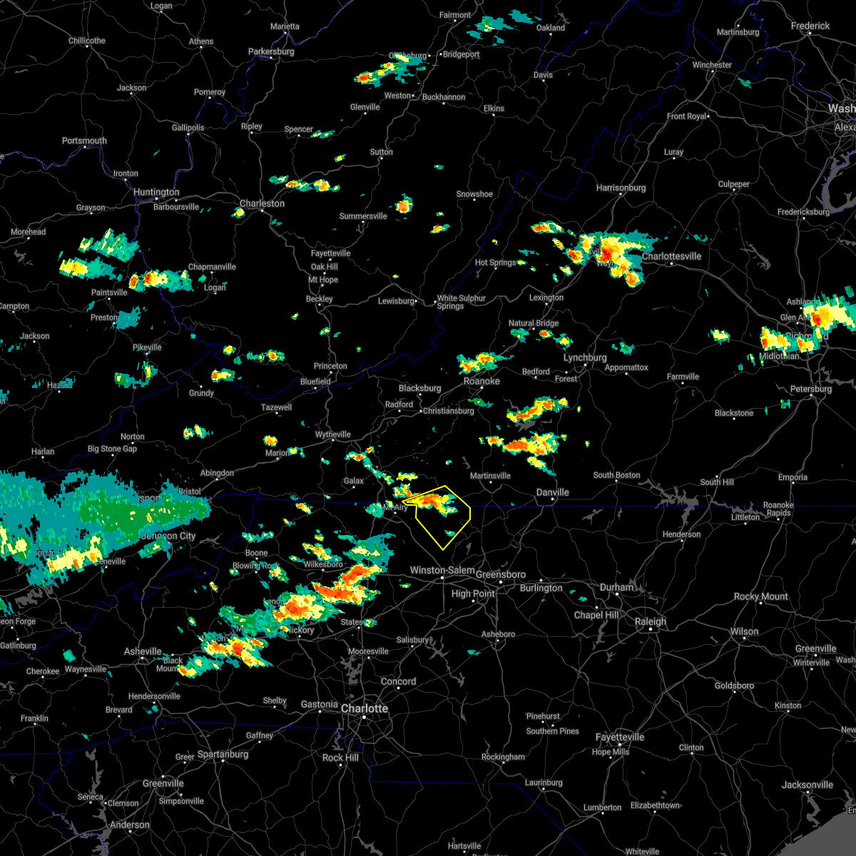 At 219 pm edt, a severe thunderstorm was located near collinstown, or near stuart, moving southeast at 25 mph (radar indicated). Hazards include 60 mph wind gusts. expect damage to roofs, siding, and trees At 219 pm edt, a severe thunderstorm was located near collinstown, or near stuart, moving southeast at 25 mph (radar indicated). Hazards include 60 mph wind gusts. expect damage to roofs, siding, and trees
|
|
|
| 7/26/2021 2:19 PM EDT |
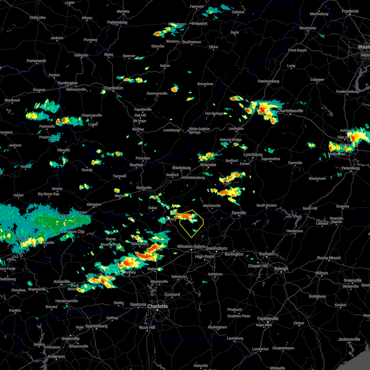 At 219 pm edt, a severe thunderstorm was located near collinstown, or near stuart, moving southeast at 25 mph (radar indicated). Hazards include 60 mph wind gusts. expect damage to roofs, siding, and trees At 219 pm edt, a severe thunderstorm was located near collinstown, or near stuart, moving southeast at 25 mph (radar indicated). Hazards include 60 mph wind gusts. expect damage to roofs, siding, and trees
|
| 7/17/2021 8:02 PM EDT |
 At 802 pm edt, severe thunderstorms were located along a line extending from near rocky knob summit to boonville, moving east at 30 mph (radar indicated). Hazards include 60 mph wind gusts. Expect damage to roofs, siding, and trees. Locations impacted include, mount airy, fairview, flat rock, yadkinville, pilot mountain, walnut cove, and stuart. At 802 pm edt, severe thunderstorms were located along a line extending from near rocky knob summit to boonville, moving east at 30 mph (radar indicated). Hazards include 60 mph wind gusts. Expect damage to roofs, siding, and trees. Locations impacted include, mount airy, fairview, flat rock, yadkinville, pilot mountain, walnut cove, and stuart.
|
| 7/17/2021 8:02 PM EDT |
 At 802 pm edt, severe thunderstorms were located along a line extending from near rocky knob summit to boonville, moving east at 30 mph (radar indicated). Hazards include 60 mph wind gusts. Expect damage to roofs, siding, and trees. Locations impacted include, mount airy, fairview, flat rock, yadkinville, pilot mountain, walnut cove, and stuart. At 802 pm edt, severe thunderstorms were located along a line extending from near rocky knob summit to boonville, moving east at 30 mph (radar indicated). Hazards include 60 mph wind gusts. Expect damage to roofs, siding, and trees. Locations impacted include, mount airy, fairview, flat rock, yadkinville, pilot mountain, walnut cove, and stuart.
|
| 7/17/2021 7:44 PM EDT |
 At 744 pm edt, severe thunderstorms were located along a line extending from near mabry mill to near swancreek, moving east at 25 mph (radar indicated). Hazards include 60 mph wind gusts. expect damage to roofs, siding, and trees At 744 pm edt, severe thunderstorms were located along a line extending from near mabry mill to near swancreek, moving east at 25 mph (radar indicated). Hazards include 60 mph wind gusts. expect damage to roofs, siding, and trees
|
| 7/17/2021 7:44 PM EDT |
 At 744 pm edt, severe thunderstorms were located along a line extending from near mabry mill to near swancreek, moving east at 25 mph (radar indicated). Hazards include 60 mph wind gusts. expect damage to roofs, siding, and trees At 744 pm edt, severe thunderstorms were located along a line extending from near mabry mill to near swancreek, moving east at 25 mph (radar indicated). Hazards include 60 mph wind gusts. expect damage to roofs, siding, and trees
|
| 6/13/2021 9:58 PM EDT |
 At 956 pm edt, severe thunderstorms were located along a line extending from martinsville to near galax along highway 58, moving south at 35 to 40 mph (radar indicated). Hazards include 60 mph wind gusts. expect damage to roofs, siding, and trees At 956 pm edt, severe thunderstorms were located along a line extending from martinsville to near galax along highway 58, moving south at 35 to 40 mph (radar indicated). Hazards include 60 mph wind gusts. expect damage to roofs, siding, and trees
|
| 6/13/2021 9:58 PM EDT |
 At 956 pm edt, severe thunderstorms were located along a line extending from martinsville to near galax along highway 58, moving south at 35 to 40 mph (radar indicated). Hazards include 60 mph wind gusts. expect damage to roofs, siding, and trees At 956 pm edt, severe thunderstorms were located along a line extending from martinsville to near galax along highway 58, moving south at 35 to 40 mph (radar indicated). Hazards include 60 mph wind gusts. expect damage to roofs, siding, and trees
|
| 6/13/2021 9:48 PM EDT |
 At 946 pm edt, severe thunderstorms were located along a line extending from bassett to stuart to near laurel fork, moving south at 40 mph (radar indicated). Hazards include 70 mph wind gusts. Expect considerable tree damage. damage is likely to mobile homes, roofs, and outbuildings. locations impacted include, martinsville, stuart, axton, ararat, spencer, bassett, and woolwine. This includes the following locations the martinsville speedway and martinsville airport. At 946 pm edt, severe thunderstorms were located along a line extending from bassett to stuart to near laurel fork, moving south at 40 mph (radar indicated). Hazards include 70 mph wind gusts. Expect considerable tree damage. damage is likely to mobile homes, roofs, and outbuildings. locations impacted include, martinsville, stuart, axton, ararat, spencer, bassett, and woolwine. This includes the following locations the martinsville speedway and martinsville airport.
|
| 6/13/2021 8:57 PM EDT |
 At 855 pm edt, severe thunderstorms were located along a line extending from near copper hill to dublin, moving south at 40 mph (radar indicated). Hazards include 60 mph wind gusts. expect damage to trees and powerlines At 855 pm edt, severe thunderstorms were located along a line extending from near copper hill to dublin, moving south at 40 mph (radar indicated). Hazards include 60 mph wind gusts. expect damage to trees and powerlines
|
| 5/25/2021 9:25 PM EDT |
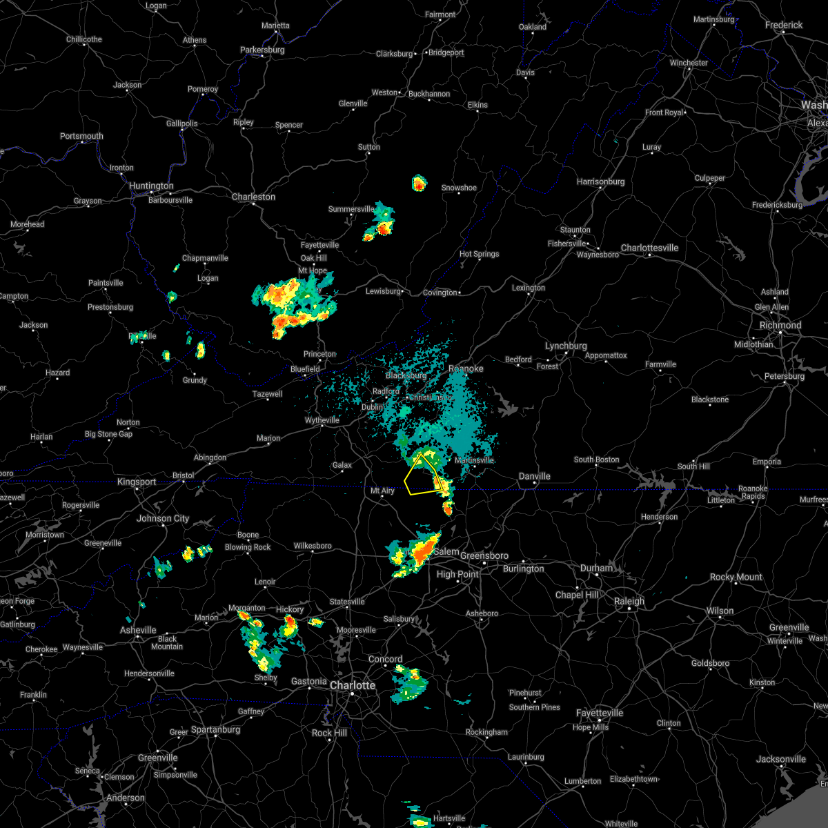 The severe thunderstorm warning for north central stokes and southeastern patrick counties will expire at 930 pm edt, the storms which prompted the warning have moved out of the area. therefore, the warning will be allowed to expire. however heavy rain is still possible with these thunderstorms. when it is safe to do so, please send your reports of hail of any size, as well as reports of any wind damage, including downed trees or large limbs, to the national weather service by calling toll free at 1, 8 6 6, 2 1 5, 4 3 2 4. reports and pictures can also be shared on the national weather service blacksburg facebook page and on twitter. The severe thunderstorm warning for north central stokes and southeastern patrick counties will expire at 930 pm edt, the storms which prompted the warning have moved out of the area. therefore, the warning will be allowed to expire. however heavy rain is still possible with these thunderstorms. when it is safe to do so, please send your reports of hail of any size, as well as reports of any wind damage, including downed trees or large limbs, to the national weather service by calling toll free at 1, 8 6 6, 2 1 5, 4 3 2 4. reports and pictures can also be shared on the national weather service blacksburg facebook page and on twitter.
|
| 5/25/2021 9:25 PM EDT |
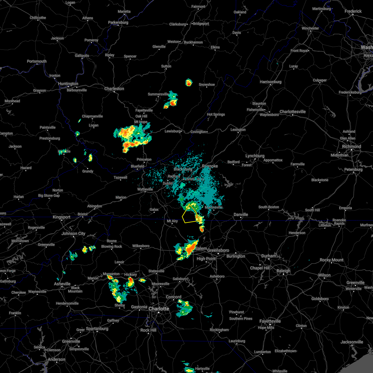 The severe thunderstorm warning for north central stokes and southeastern patrick counties will expire at 930 pm edt, the storms which prompted the warning have moved out of the area. therefore, the warning will be allowed to expire. however heavy rain is still possible with these thunderstorms. when it is safe to do so, please send your reports of hail of any size, as well as reports of any wind damage, including downed trees or large limbs, to the national weather service by calling toll free at 1, 8 6 6, 2 1 5, 4 3 2 4. reports and pictures can also be shared on the national weather service blacksburg facebook page and on twitter. The severe thunderstorm warning for north central stokes and southeastern patrick counties will expire at 930 pm edt, the storms which prompted the warning have moved out of the area. therefore, the warning will be allowed to expire. however heavy rain is still possible with these thunderstorms. when it is safe to do so, please send your reports of hail of any size, as well as reports of any wind damage, including downed trees or large limbs, to the national weather service by calling toll free at 1, 8 6 6, 2 1 5, 4 3 2 4. reports and pictures can also be shared on the national weather service blacksburg facebook page and on twitter.
|
| 5/25/2021 9:10 PM EDT |
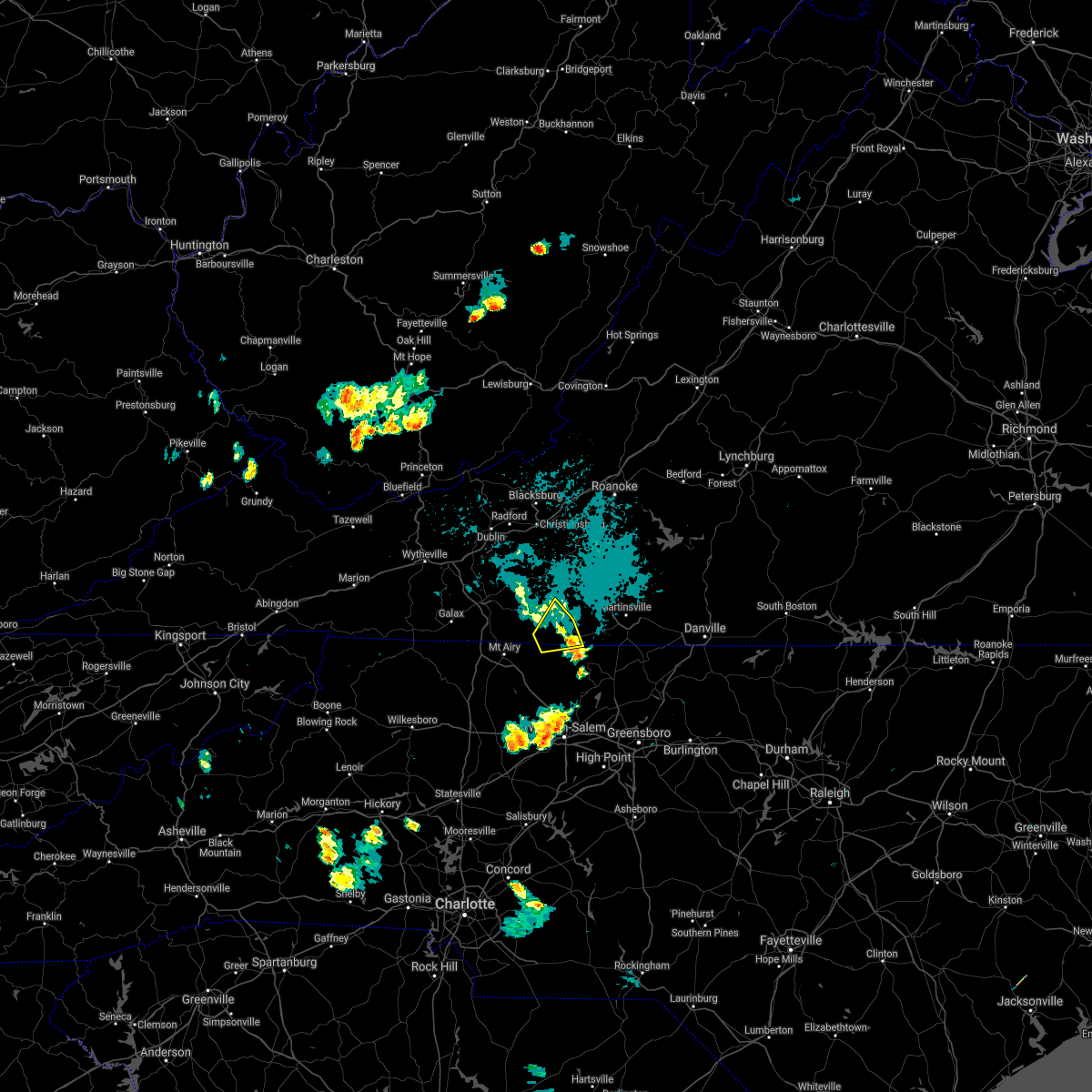 At 909 pm edt, severe thunderstorms were located along a line extending from near buffalo ridge to near patrick springs, moving northeast at 15 mph (radar indicated). Hazards include 60 mph wind gusts. Expect damage to roofs, siding, and trees. Locations impacted include, stuart, patrick springs, and collinstown. At 909 pm edt, severe thunderstorms were located along a line extending from near buffalo ridge to near patrick springs, moving northeast at 15 mph (radar indicated). Hazards include 60 mph wind gusts. Expect damage to roofs, siding, and trees. Locations impacted include, stuart, patrick springs, and collinstown.
|
| 5/25/2021 9:10 PM EDT |
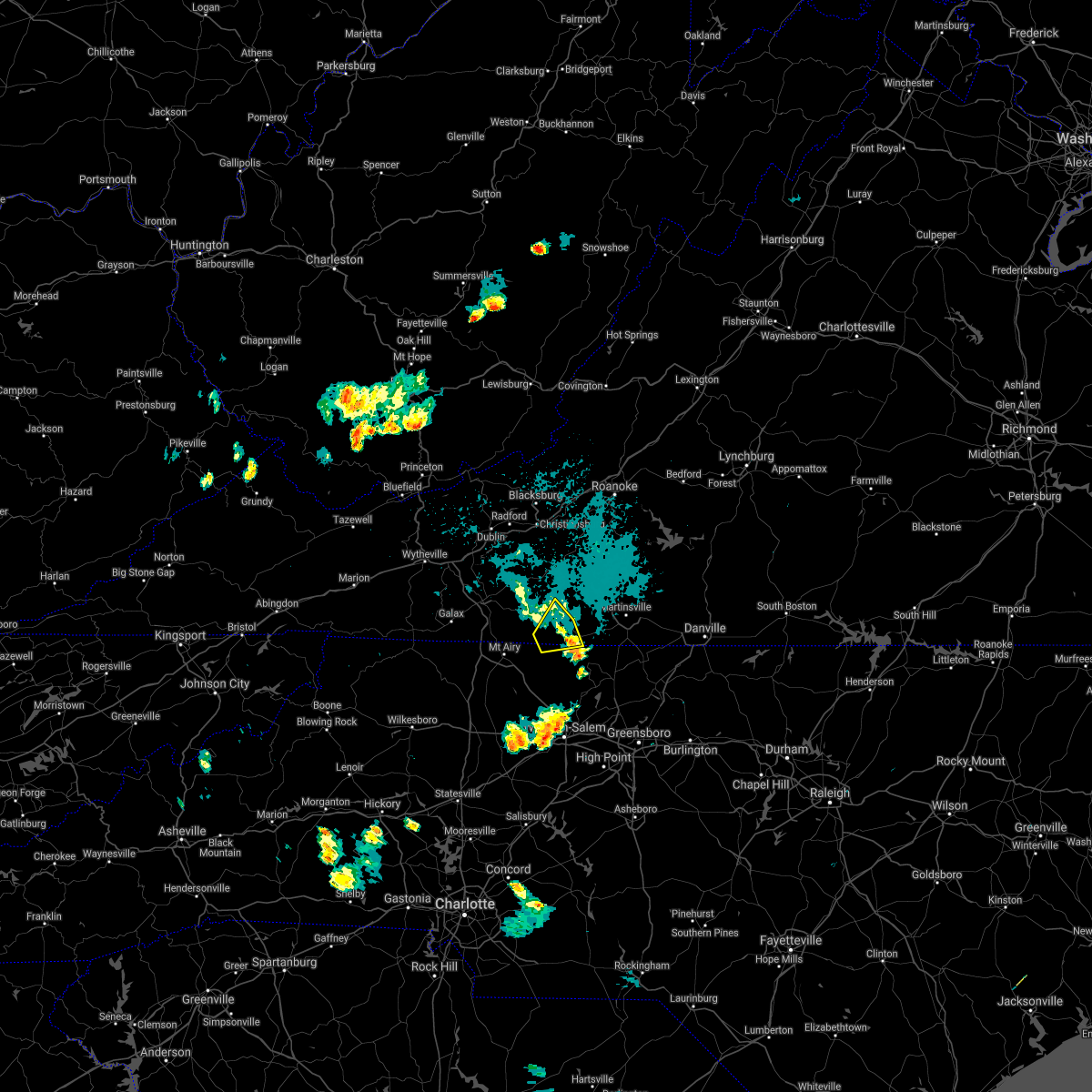 At 909 pm edt, severe thunderstorms were located along a line extending from near buffalo ridge to near patrick springs, moving northeast at 15 mph (radar indicated). Hazards include 60 mph wind gusts. Expect damage to roofs, siding, and trees. Locations impacted include, stuart, patrick springs, and collinstown. At 909 pm edt, severe thunderstorms were located along a line extending from near buffalo ridge to near patrick springs, moving northeast at 15 mph (radar indicated). Hazards include 60 mph wind gusts. Expect damage to roofs, siding, and trees. Locations impacted include, stuart, patrick springs, and collinstown.
|
| 5/25/2021 8:52 PM EDT |
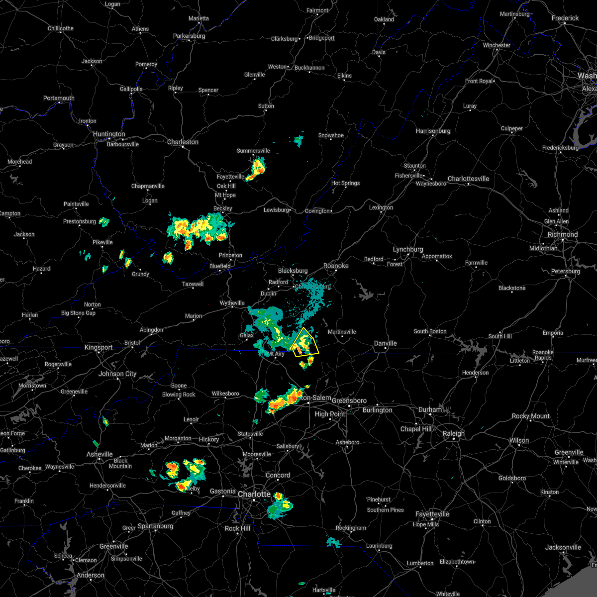 At 850 pm edt, severe thunderstorms were located along a line extending from near meadows of dan to near collinstown, moving northeast at 15 mph (radar indicated). Hazards include 60 mph wind gusts. Expect damage to roofs, siding, and trees. Locations impacted include, stuart, patrick springs, and collinstown. At 850 pm edt, severe thunderstorms were located along a line extending from near meadows of dan to near collinstown, moving northeast at 15 mph (radar indicated). Hazards include 60 mph wind gusts. Expect damage to roofs, siding, and trees. Locations impacted include, stuart, patrick springs, and collinstown.
|
| 5/25/2021 8:52 PM EDT |
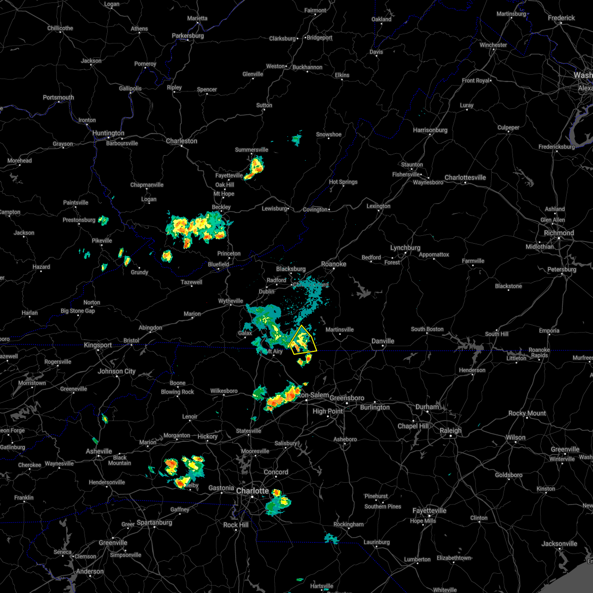 At 850 pm edt, severe thunderstorms were located along a line extending from near meadows of dan to near collinstown, moving northeast at 15 mph (radar indicated). Hazards include 60 mph wind gusts. Expect damage to roofs, siding, and trees. Locations impacted include, stuart, patrick springs, and collinstown. At 850 pm edt, severe thunderstorms were located along a line extending from near meadows of dan to near collinstown, moving northeast at 15 mph (radar indicated). Hazards include 60 mph wind gusts. Expect damage to roofs, siding, and trees. Locations impacted include, stuart, patrick springs, and collinstown.
|
| 5/25/2021 8:35 PM EDT |
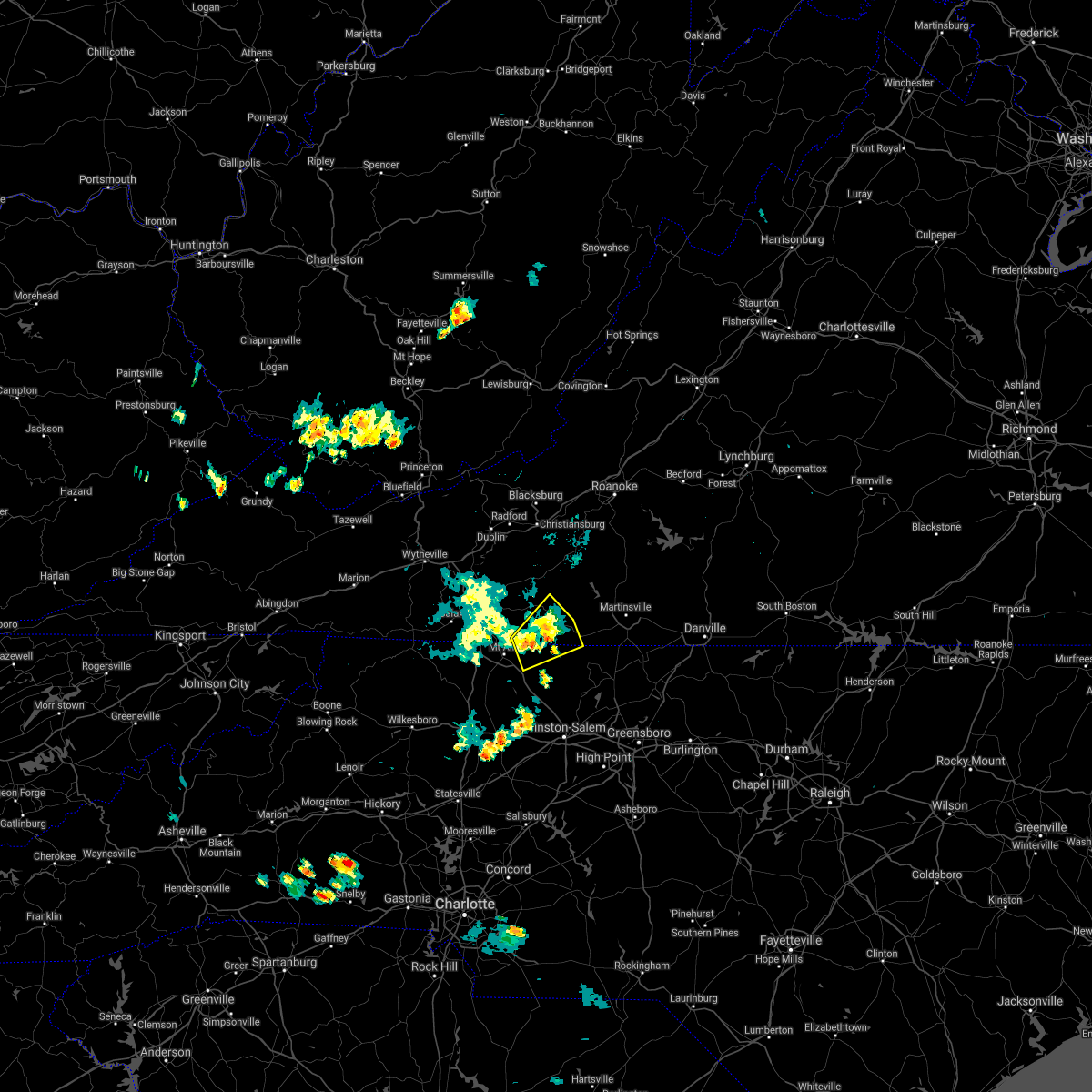 At 835 pm edt, severe thunderstorms were located along a line extending from near meadows of dan to near collinstown, moving northeast at 10 mph (radar indicated). Hazards include 60 mph wind gusts and quarter size hail. Hail damage to vehicles is expected. Expect wind damage to roofs, siding, and trees. At 835 pm edt, severe thunderstorms were located along a line extending from near meadows of dan to near collinstown, moving northeast at 10 mph (radar indicated). Hazards include 60 mph wind gusts and quarter size hail. Hail damage to vehicles is expected. Expect wind damage to roofs, siding, and trees.
|
| 5/25/2021 8:35 PM EDT |
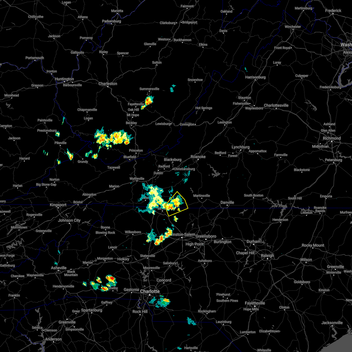 At 835 pm edt, severe thunderstorms were located along a line extending from near meadows of dan to near collinstown, moving northeast at 10 mph (radar indicated). Hazards include 60 mph wind gusts and quarter size hail. Hail damage to vehicles is expected. Expect wind damage to roofs, siding, and trees. At 835 pm edt, severe thunderstorms were located along a line extending from near meadows of dan to near collinstown, moving northeast at 10 mph (radar indicated). Hazards include 60 mph wind gusts and quarter size hail. Hail damage to vehicles is expected. Expect wind damage to roofs, siding, and trees.
|
| 5/25/2021 8:01 PM EDT |
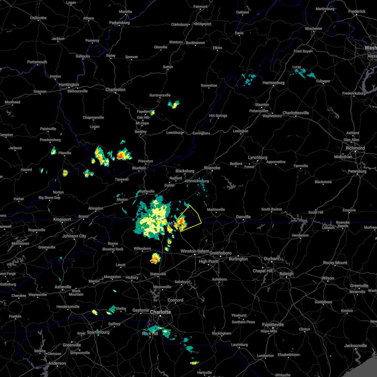 At 800 pm edt, severe thunderstorms were located along a line extending from 5 miles southeast of laurel fork va to near ararat nc, moving northeast at 15 mph (radar indicated). Hazards include 60 mph wind gusts and quarter size hail. Hail damage to vehicles is expected. Expect wind damage to roofs, siding, and trees. At 800 pm edt, severe thunderstorms were located along a line extending from 5 miles southeast of laurel fork va to near ararat nc, moving northeast at 15 mph (radar indicated). Hazards include 60 mph wind gusts and quarter size hail. Hail damage to vehicles is expected. Expect wind damage to roofs, siding, and trees.
|
| 5/25/2021 8:01 PM EDT |
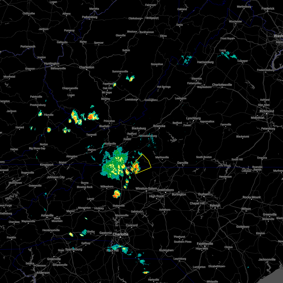 At 800 pm edt, severe thunderstorms were located along a line extending from 5 miles southeast of laurel fork va to near ararat nc, moving northeast at 15 mph (radar indicated). Hazards include 60 mph wind gusts and quarter size hail. Hail damage to vehicles is expected. Expect wind damage to roofs, siding, and trees. At 800 pm edt, severe thunderstorms were located along a line extending from 5 miles southeast of laurel fork va to near ararat nc, moving northeast at 15 mph (radar indicated). Hazards include 60 mph wind gusts and quarter size hail. Hail damage to vehicles is expected. Expect wind damage to roofs, siding, and trees.
|
| 3/27/2021 3:06 PM EDT |
 At 305 pm edt, severe thunderstorms were located along a line extending from terrys fork to near stuart to near courtney, moving east at 50 mph (radar indicated). Hazards include 60 mph wind gusts. Expect damage to roofs, siding, and trees. locations impacted include, christiansburg, eden, martinsville, mount airy, rocky mount, elkin, and fairview. This includes the following locations the martinsville speedway and martinsville airport. At 305 pm edt, severe thunderstorms were located along a line extending from terrys fork to near stuart to near courtney, moving east at 50 mph (radar indicated). Hazards include 60 mph wind gusts. Expect damage to roofs, siding, and trees. locations impacted include, christiansburg, eden, martinsville, mount airy, rocky mount, elkin, and fairview. This includes the following locations the martinsville speedway and martinsville airport.
|
| 3/27/2021 3:06 PM EDT |
 At 305 pm edt, severe thunderstorms were located along a line extending from terrys fork to near stuart to near courtney, moving east at 50 mph (radar indicated). Hazards include 60 mph wind gusts. Expect damage to roofs, siding, and trees. locations impacted include, christiansburg, eden, martinsville, mount airy, rocky mount, elkin, and fairview. This includes the following locations the martinsville speedway and martinsville airport. At 305 pm edt, severe thunderstorms were located along a line extending from terrys fork to near stuart to near courtney, moving east at 50 mph (radar indicated). Hazards include 60 mph wind gusts. Expect damage to roofs, siding, and trees. locations impacted include, christiansburg, eden, martinsville, mount airy, rocky mount, elkin, and fairview. This includes the following locations the martinsville speedway and martinsville airport.
|
| 3/27/2021 2:56 PM EDT |
 At 256 pm edt, severe thunderstorms were located along a line extending from near pilot to ararat to near buck shoals, moving east at 50 mph (radar indicated). Hazards include 60 mph wind gusts. expect damage to roofs, siding, and trees At 256 pm edt, severe thunderstorms were located along a line extending from near pilot to ararat to near buck shoals, moving east at 50 mph (radar indicated). Hazards include 60 mph wind gusts. expect damage to roofs, siding, and trees
|
| 3/27/2021 2:56 PM EDT |
 At 256 pm edt, severe thunderstorms were located along a line extending from near pilot to ararat to near buck shoals, moving east at 50 mph (radar indicated). Hazards include 60 mph wind gusts. expect damage to roofs, siding, and trees At 256 pm edt, severe thunderstorms were located along a line extending from near pilot to ararat to near buck shoals, moving east at 50 mph (radar indicated). Hazards include 60 mph wind gusts. expect damage to roofs, siding, and trees
|
| 10/29/2020 10:36 AM EDT |
 At 1033 am edt, a severe thunderstorm was located over horse pasture, or over spencer, moving northeast at 35 mph. this is a very dangerous storm (radar indicated). Hazards include 80 mph wind gusts. Flying debris will be dangerous to those caught without shelter. mobile homes will be heavily damaged. expect considerable damage to roofs, windows, and vehicles. extensive tree damage and power outages are likely. locations impacted include, eden, martinsville, rocky mount, mayodan, madison, walnut cove, and stuart. This includes the following locations the martinsville speedway and martinsville airport. At 1033 am edt, a severe thunderstorm was located over horse pasture, or over spencer, moving northeast at 35 mph. this is a very dangerous storm (radar indicated). Hazards include 80 mph wind gusts. Flying debris will be dangerous to those caught without shelter. mobile homes will be heavily damaged. expect considerable damage to roofs, windows, and vehicles. extensive tree damage and power outages are likely. locations impacted include, eden, martinsville, rocky mount, mayodan, madison, walnut cove, and stuart. This includes the following locations the martinsville speedway and martinsville airport.
|
| 10/29/2020 10:36 AM EDT |
 At 1033 am edt, a severe thunderstorm was located over horse pasture, or over spencer, moving northeast at 35 mph. this is a very dangerous storm (radar indicated). Hazards include 80 mph wind gusts. Flying debris will be dangerous to those caught without shelter. mobile homes will be heavily damaged. expect considerable damage to roofs, windows, and vehicles. extensive tree damage and power outages are likely. locations impacted include, eden, martinsville, rocky mount, mayodan, madison, walnut cove, and stuart. This includes the following locations the martinsville speedway and martinsville airport. At 1033 am edt, a severe thunderstorm was located over horse pasture, or over spencer, moving northeast at 35 mph. this is a very dangerous storm (radar indicated). Hazards include 80 mph wind gusts. Flying debris will be dangerous to those caught without shelter. mobile homes will be heavily damaged. expect considerable damage to roofs, windows, and vehicles. extensive tree damage and power outages are likely. locations impacted include, eden, martinsville, rocky mount, mayodan, madison, walnut cove, and stuart. This includes the following locations the martinsville speedway and martinsville airport.
|
|
|
| 10/29/2020 9:50 AM EDT |
 At 947 am edt, a severe thunderstorm was located near pilot mountain, moving northeast at 55 mph. this is a very dangerous storm (radar indicated). Hazards include 80 mph wind gusts. Flying debris will be dangerous to those caught without shelter. mobile homes will be heavily damaged. expect considerable damage to roofs, windows, and vehicles. Extensive tree damage and power outages are likely. At 947 am edt, a severe thunderstorm was located near pilot mountain, moving northeast at 55 mph. this is a very dangerous storm (radar indicated). Hazards include 80 mph wind gusts. Flying debris will be dangerous to those caught without shelter. mobile homes will be heavily damaged. expect considerable damage to roofs, windows, and vehicles. Extensive tree damage and power outages are likely.
|
| 10/29/2020 9:50 AM EDT |
 At 947 am edt, a severe thunderstorm was located near pilot mountain, moving northeast at 55 mph. this is a very dangerous storm (radar indicated). Hazards include 80 mph wind gusts. Flying debris will be dangerous to those caught without shelter. mobile homes will be heavily damaged. expect considerable damage to roofs, windows, and vehicles. Extensive tree damage and power outages are likely. At 947 am edt, a severe thunderstorm was located near pilot mountain, moving northeast at 55 mph. this is a very dangerous storm (radar indicated). Hazards include 80 mph wind gusts. Flying debris will be dangerous to those caught without shelter. mobile homes will be heavily damaged. expect considerable damage to roofs, windows, and vehicles. Extensive tree damage and power outages are likely.
|
| 8/3/2020 1:46 PM EDT |
 At 146 pm edt, severe thunderstorms were located along a line extending from near swansonville to critz, moving north at 30 mph (radar indicated). Hazards include 60 mph wind gusts. Expect damage to roofs, siding, and trees. locations impacted include, martinsville, rocky mount, stuart, floyd, boones mill, ferrum, and francisco. This includes the following locations the martinsville speedway and martinsville airport. At 146 pm edt, severe thunderstorms were located along a line extending from near swansonville to critz, moving north at 30 mph (radar indicated). Hazards include 60 mph wind gusts. Expect damage to roofs, siding, and trees. locations impacted include, martinsville, rocky mount, stuart, floyd, boones mill, ferrum, and francisco. This includes the following locations the martinsville speedway and martinsville airport.
|
| 8/3/2020 1:46 PM EDT |
 At 146 pm edt, severe thunderstorms were located along a line extending from near swansonville to critz, moving north at 30 mph (radar indicated). Hazards include 60 mph wind gusts. Expect damage to roofs, siding, and trees. locations impacted include, martinsville, rocky mount, stuart, floyd, boones mill, ferrum, and francisco. This includes the following locations the martinsville speedway and martinsville airport. At 146 pm edt, severe thunderstorms were located along a line extending from near swansonville to critz, moving north at 30 mph (radar indicated). Hazards include 60 mph wind gusts. Expect damage to roofs, siding, and trees. locations impacted include, martinsville, rocky mount, stuart, floyd, boones mill, ferrum, and francisco. This includes the following locations the martinsville speedway and martinsville airport.
|
| 8/3/2020 1:37 PM EDT |
 At 137 pm edt, severe thunderstorms were located along a line extending from near swansonville to near penns store, moving north at 30 mph (radar indicated). Hazards include 60 mph wind gusts. Expect damage to roofs, siding, and trees. locations impacted include, martinsville, rocky mount, stuart, floyd, boones mill, danbury, and ferrum. This includes the following locations the martinsville speedway and martinsville airport. At 137 pm edt, severe thunderstorms were located along a line extending from near swansonville to near penns store, moving north at 30 mph (radar indicated). Hazards include 60 mph wind gusts. Expect damage to roofs, siding, and trees. locations impacted include, martinsville, rocky mount, stuart, floyd, boones mill, danbury, and ferrum. This includes the following locations the martinsville speedway and martinsville airport.
|
| 8/3/2020 1:37 PM EDT |
 At 137 pm edt, severe thunderstorms were located along a line extending from near swansonville to near penns store, moving north at 30 mph (radar indicated). Hazards include 60 mph wind gusts. Expect damage to roofs, siding, and trees. locations impacted include, martinsville, rocky mount, stuart, floyd, boones mill, danbury, and ferrum. This includes the following locations the martinsville speedway and martinsville airport. At 137 pm edt, severe thunderstorms were located along a line extending from near swansonville to near penns store, moving north at 30 mph (radar indicated). Hazards include 60 mph wind gusts. Expect damage to roofs, siding, and trees. locations impacted include, martinsville, rocky mount, stuart, floyd, boones mill, danbury, and ferrum. This includes the following locations the martinsville speedway and martinsville airport.
|
| 8/3/2020 1:18 PM EDT |
 At 117 pm edt, severe thunderstorms were located along a line extending from near mayfield to near prestonville, moving north at 30 mph (radar indicated). Hazards include 60 mph wind gusts. expect damage to roofs, siding, and trees At 117 pm edt, severe thunderstorms were located along a line extending from near mayfield to near prestonville, moving north at 30 mph (radar indicated). Hazards include 60 mph wind gusts. expect damage to roofs, siding, and trees
|
| 8/3/2020 1:18 PM EDT |
 At 117 pm edt, severe thunderstorms were located along a line extending from near mayfield to near prestonville, moving north at 30 mph (radar indicated). Hazards include 60 mph wind gusts. expect damage to roofs, siding, and trees At 117 pm edt, severe thunderstorms were located along a line extending from near mayfield to near prestonville, moving north at 30 mph (radar indicated). Hazards include 60 mph wind gusts. expect damage to roofs, siding, and trees
|
| 7/19/2020 6:12 PM EDT |
 At 612 pm edt, severe thunderstorms were located along a line extending from sanville to near ararat, moving east at 40 mph (radar indicated). Hazards include 60 mph wind gusts. Expect damage to roofs, siding, and trees. locations impacted include, martinsville, stuart, spencer, axton, leatherwood, critz, and villa heights. This includes the following locations the martinsville speedway and martinsville airport. At 612 pm edt, severe thunderstorms were located along a line extending from sanville to near ararat, moving east at 40 mph (radar indicated). Hazards include 60 mph wind gusts. Expect damage to roofs, siding, and trees. locations impacted include, martinsville, stuart, spencer, axton, leatherwood, critz, and villa heights. This includes the following locations the martinsville speedway and martinsville airport.
|
| 7/19/2020 6:12 PM EDT |
 At 612 pm edt, severe thunderstorms were located along a line extending from sanville to near ararat, moving east at 40 mph (radar indicated). Hazards include 60 mph wind gusts. Expect damage to roofs, siding, and trees. locations impacted include, martinsville, stuart, spencer, axton, leatherwood, critz, and villa heights. This includes the following locations the martinsville speedway and martinsville airport. At 612 pm edt, severe thunderstorms were located along a line extending from sanville to near ararat, moving east at 40 mph (radar indicated). Hazards include 60 mph wind gusts. Expect damage to roofs, siding, and trees. locations impacted include, martinsville, stuart, spencer, axton, leatherwood, critz, and villa heights. This includes the following locations the martinsville speedway and martinsville airport.
|
| 7/19/2020 5:50 PM EDT |
 At 549 pm edt, severe thunderstorms were located along a line extending from near stuart to pine ridge, moving east at 40 mph (radar indicated). Hazards include 60 mph wind gusts. Expect damage to roofs, siding, and trees. locations impacted include, martinsville, mount airy, flat rock, dobson, pilot mountain, stuart, and danbury. This includes the following locations the martinsville speedway and martinsville airport. At 549 pm edt, severe thunderstorms were located along a line extending from near stuart to pine ridge, moving east at 40 mph (radar indicated). Hazards include 60 mph wind gusts. Expect damage to roofs, siding, and trees. locations impacted include, martinsville, mount airy, flat rock, dobson, pilot mountain, stuart, and danbury. This includes the following locations the martinsville speedway and martinsville airport.
|
| 7/19/2020 5:50 PM EDT |
 At 549 pm edt, severe thunderstorms were located along a line extending from near stuart to pine ridge, moving east at 40 mph (radar indicated). Hazards include 60 mph wind gusts. Expect damage to roofs, siding, and trees. locations impacted include, martinsville, mount airy, flat rock, dobson, pilot mountain, stuart, and danbury. This includes the following locations the martinsville speedway and martinsville airport. At 549 pm edt, severe thunderstorms were located along a line extending from near stuart to pine ridge, moving east at 40 mph (radar indicated). Hazards include 60 mph wind gusts. Expect damage to roofs, siding, and trees. locations impacted include, martinsville, mount airy, flat rock, dobson, pilot mountain, stuart, and danbury. This includes the following locations the martinsville speedway and martinsville airport.
|
| 7/19/2020 5:32 PM EDT |
 At 531 pm edt, severe thunderstorms were located along a line extending from near ararat to near barrett, moving east at 40 mph (radar indicated). Hazards include 60 mph wind gusts. expect damage to roofs, siding, and trees At 531 pm edt, severe thunderstorms were located along a line extending from near ararat to near barrett, moving east at 40 mph (radar indicated). Hazards include 60 mph wind gusts. expect damage to roofs, siding, and trees
|
| 7/19/2020 5:32 PM EDT |
 At 531 pm edt, severe thunderstorms were located along a line extending from near ararat to near barrett, moving east at 40 mph (radar indicated). Hazards include 60 mph wind gusts. expect damage to roofs, siding, and trees At 531 pm edt, severe thunderstorms were located along a line extending from near ararat to near barrett, moving east at 40 mph (radar indicated). Hazards include 60 mph wind gusts. expect damage to roofs, siding, and trees
|
| 7/10/2020 7:22 PM EDT |
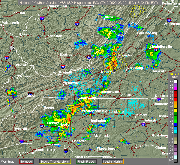 At 722 pm edt, a severe thunderstorm was located near stuart, moving east at 15 mph (radar indicated). Hazards include 60 mph wind gusts and quarter size hail. Hail damage to vehicles is expected. Expect wind damage to roofs, siding, and trees. At 722 pm edt, a severe thunderstorm was located near stuart, moving east at 15 mph (radar indicated). Hazards include 60 mph wind gusts and quarter size hail. Hail damage to vehicles is expected. Expect wind damage to roofs, siding, and trees.
|
| 7/10/2020 7:22 PM EDT |
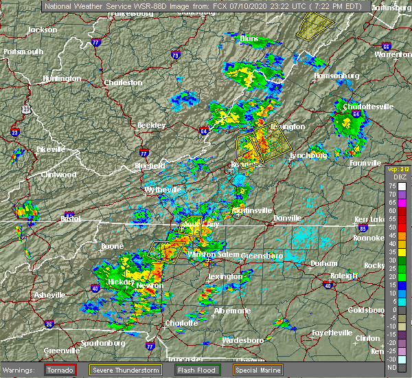 At 722 pm edt, a severe thunderstorm was located near stuart, moving east at 15 mph (radar indicated). Hazards include 60 mph wind gusts and quarter size hail. Hail damage to vehicles is expected. Expect wind damage to roofs, siding, and trees. At 722 pm edt, a severe thunderstorm was located near stuart, moving east at 15 mph (radar indicated). Hazards include 60 mph wind gusts and quarter size hail. Hail damage to vehicles is expected. Expect wind damage to roofs, siding, and trees.
|
| 2/6/2020 11:39 AM EST |
 At 1139 am est, severe thunderstorms were located along a line extending from near ferrum to near sanville, moving northeast at 80 mph (radar indicated). Hazards include 60 mph wind gusts. Expect damage to roofs, siding, and trees. locations impacted include, eden, wentworth, mayodan, madison, and walnut cove. A tornado watch remains in effect until 500 pm est for north central and northwestern north carolina, and south central virginia. At 1139 am est, severe thunderstorms were located along a line extending from near ferrum to near sanville, moving northeast at 80 mph (radar indicated). Hazards include 60 mph wind gusts. Expect damage to roofs, siding, and trees. locations impacted include, eden, wentworth, mayodan, madison, and walnut cove. A tornado watch remains in effect until 500 pm est for north central and northwestern north carolina, and south central virginia.
|
| 2/6/2020 11:39 AM EST |
 At 1139 am est, severe thunderstorms were located along a line extending from near ferrum to near sanville, moving northeast at 80 mph (radar indicated). Hazards include 60 mph wind gusts. Expect damage to roofs, siding, and trees. locations impacted include, eden, wentworth, mayodan, madison, and walnut cove. A tornado watch remains in effect until 500 pm est for north central and northwestern north carolina, and south central virginia. At 1139 am est, severe thunderstorms were located along a line extending from near ferrum to near sanville, moving northeast at 80 mph (radar indicated). Hazards include 60 mph wind gusts. Expect damage to roofs, siding, and trees. locations impacted include, eden, wentworth, mayodan, madison, and walnut cove. A tornado watch remains in effect until 500 pm est for north central and northwestern north carolina, and south central virginia.
|
| 2/6/2020 10:57 AM EST |
 At 1057 am est, severe thunderstorms were located along a line extending from pilot mountain state park to courtney, moving northeast at 80 mph (radar indicated). Hazards include 60 mph wind gusts. expect damage to roofs, siding, and trees At 1057 am est, severe thunderstorms were located along a line extending from pilot mountain state park to courtney, moving northeast at 80 mph (radar indicated). Hazards include 60 mph wind gusts. expect damage to roofs, siding, and trees
|
| 2/6/2020 10:57 AM EST |
 At 1057 am est, severe thunderstorms were located along a line extending from pilot mountain state park to courtney, moving northeast at 80 mph (radar indicated). Hazards include 60 mph wind gusts. expect damage to roofs, siding, and trees At 1057 am est, severe thunderstorms were located along a line extending from pilot mountain state park to courtney, moving northeast at 80 mph (radar indicated). Hazards include 60 mph wind gusts. expect damage to roofs, siding, and trees
|
| 1/11/2020 11:10 PM EST |
Several trees down along virginia highway 103 in the dry pond area. time estimated from rada in patrick county VA, 7.1 miles NE of Stuart, VA
|
| 1/11/2020 10:05 PM EST |
Corrects previous tstm wnd dmg report from 6 sw stuart. several trees down along virginia highway 103 in the dry pond area. time estimated from rada in patrick county VA, 7.1 miles NE of Stuart, VA
|
| 1/11/2020 9:43 PM EST |
 At 942 pm est, severe thunderstorms were located along a line extending from near huffman to near courtney, moving northeast at 50 mph (radar indicated). Hazards include 70 mph wind gusts. Expect considerable tree damage. Damage is likely to mobile homes, roofs, and outbuildings. At 942 pm est, severe thunderstorms were located along a line extending from near huffman to near courtney, moving northeast at 50 mph (radar indicated). Hazards include 70 mph wind gusts. Expect considerable tree damage. Damage is likely to mobile homes, roofs, and outbuildings.
|
| 1/11/2020 9:43 PM EST |
 At 942 pm est, severe thunderstorms were located along a line extending from near huffman to near courtney, moving northeast at 50 mph (radar indicated). Hazards include 70 mph wind gusts. Expect considerable tree damage. Damage is likely to mobile homes, roofs, and outbuildings. At 942 pm est, severe thunderstorms were located along a line extending from near huffman to near courtney, moving northeast at 50 mph (radar indicated). Hazards include 70 mph wind gusts. Expect considerable tree damage. Damage is likely to mobile homes, roofs, and outbuildings.
|
| 10/31/2019 5:49 PM EDT |
 At 548 pm edt, a severe thunderstorm was located over dugspur, or 7 miles southwest of willis, moving northeast at 40 mph (radar indicated). Hazards include 60 mph wind gusts. expect damage to roofs, siding, and trees At 548 pm edt, a severe thunderstorm was located over dugspur, or 7 miles southwest of willis, moving northeast at 40 mph (radar indicated). Hazards include 60 mph wind gusts. expect damage to roofs, siding, and trees
|
|
|
| 9/11/2019 6:10 PM EDT |
A couple of fairly large trees down and a couple of large limbs as well. lawn furniture and table overturned nearb in patrick county VA, 6.4 miles W of Stuart, VA
|
| 8/21/2019 4:20 PM EDT |
Tree down along s. mayo roa in patrick county VA, 5.9 miles NW of Stuart, VA
|
| 8/21/2019 4:12 PM EDT |
Tree down near hardee in patrick county VA, 0.7 miles NNE of Stuart, VA
|
| 8/21/2019 4:00 PM EDT |
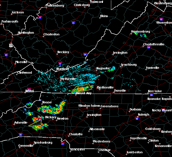 A severe thunderstorm warning remains in effect until 415 pm edt for central patrick county. At 359 pm edt, severe thunderstorms were located along a line extending from near charity to near stuart to ararat, moving southeast at 15 mph. A severe thunderstorm warning remains in effect until 415 pm edt for central patrick county. At 359 pm edt, severe thunderstorms were located along a line extending from near charity to near stuart to ararat, moving southeast at 15 mph.
|
| 8/21/2019 3:45 PM EDT |
Tree down along route 601 north... blocking the roa in patrick county VA, 10.2 miles SE of Stuart, VA
|
| 8/21/2019 3:42 PM EDT |
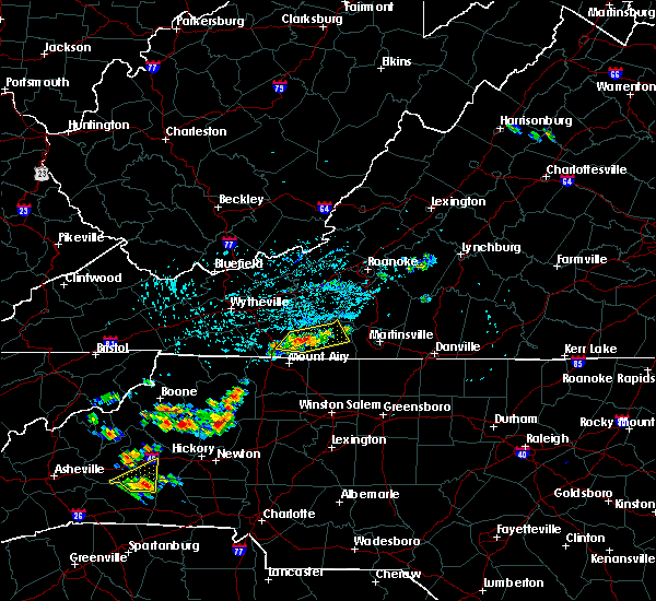 At 342 pm edt, severe thunderstorms were located along a line extending from woolwine to near meadows of dan to near gladesboro, moving east at 30 mph (radar indicated). Hazards include 60 mph wind gusts. Expect damage to roofs, siding, and trees. Locations impacted include, woolwine, ararat, laurel fork, meadows of dan, and mabry mill. At 342 pm edt, severe thunderstorms were located along a line extending from woolwine to near meadows of dan to near gladesboro, moving east at 30 mph (radar indicated). Hazards include 60 mph wind gusts. Expect damage to roofs, siding, and trees. Locations impacted include, woolwine, ararat, laurel fork, meadows of dan, and mabry mill.
|
| 8/21/2019 3:25 PM EDT |
Tree down on shelor roa in floyd county VA, 13.3 miles ESE of Stuart, VA
|
| 8/21/2019 3:25 PM EDT |
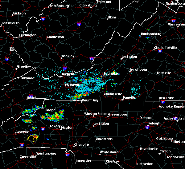 The national weather service in blacksburg has issued a * severe thunderstorm warning for. southwestern floyd county in southwestern virginia. southeastern carroll county in southwestern virginia. central patrick county in southwestern virginia. Until 415 pm edt. The national weather service in blacksburg has issued a * severe thunderstorm warning for. southwestern floyd county in southwestern virginia. southeastern carroll county in southwestern virginia. central patrick county in southwestern virginia. Until 415 pm edt.
|
| 8/13/2019 3:16 PM EDT |
Tree down near moorefield store rd. that fell on power-line. timing estimated by rada in patrick county VA, 7.8 miles NW of Stuart, VA
|
| 8/13/2019 2:54 PM EDT |
 At 253 pm edt, severe thunderstorms were located along a line extending from dry fork to white plains, moving east at 25 mph (radar indicated). Hazards include 60 mph wind gusts and quarter size hail. Hail damage to vehicles is expected. Expect wind damage to roofs, siding, and trees. At 253 pm edt, severe thunderstorms were located along a line extending from dry fork to white plains, moving east at 25 mph (radar indicated). Hazards include 60 mph wind gusts and quarter size hail. Hail damage to vehicles is expected. Expect wind damage to roofs, siding, and trees.
|
| 8/13/2019 2:54 PM EDT |
 The national weather service in blacksburg has issued a * severe thunderstorm warning for. northeastern surry county in northwestern north carolina. stokes county in north central north carolina. northern rockingham county in north central north carolina. The city of danville in south central virginia. The national weather service in blacksburg has issued a * severe thunderstorm warning for. northeastern surry county in northwestern north carolina. stokes county in north central north carolina. northern rockingham county in north central north carolina. The city of danville in south central virginia.
|
| 8/13/2019 2:07 PM EDT |
 At 207 pm edt, severe thunderstorms were located along a line extending from sydnorsville to philpott dam to near buffalo ridge, moving east at 25 mph (radar indicated). Hazards include 60 mph wind gusts and quarter size hail. Hail damage to vehicles is expected. Expect wind damage to roofs, siding, and trees. At 207 pm edt, severe thunderstorms were located along a line extending from sydnorsville to philpott dam to near buffalo ridge, moving east at 25 mph (radar indicated). Hazards include 60 mph wind gusts and quarter size hail. Hail damage to vehicles is expected. Expect wind damage to roofs, siding, and trees.
|
| 8/13/2019 2:07 PM EDT |
 At 207 pm edt, severe thunderstorms were located along a line extending from sydnorsville to philpott dam to near buffalo ridge, moving east at 25 mph (radar indicated). Hazards include 60 mph wind gusts and quarter size hail. Hail damage to vehicles is expected. Expect wind damage to roofs, siding, and trees. At 207 pm edt, severe thunderstorms were located along a line extending from sydnorsville to philpott dam to near buffalo ridge, moving east at 25 mph (radar indicated). Hazards include 60 mph wind gusts and quarter size hail. Hail damage to vehicles is expected. Expect wind damage to roofs, siding, and trees.
|
| 7/22/2019 4:52 PM EDT |
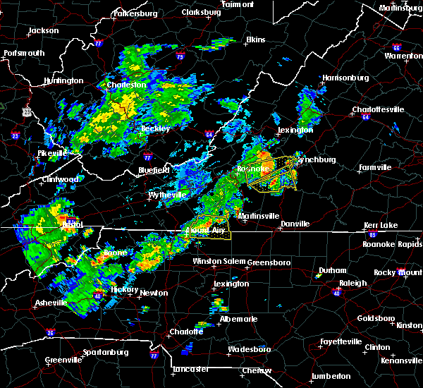 The severe thunderstorm warning for northeastern surry, northern stokes and patrick counties will expire at 500 pm edt, the storm which prompted the warning has weakened below severe limits, and no longer poses an immediate threat to life or property. therefore, the warning will be allowed to expire. however heavy rain is still possible with this thunderstorm. when it is safe to do so, please send your reports of hail of any size, as well as reports of any wind damage, including downed trees or large limbs, to the national weather service by calling toll free at 1, 8 6 6, 2 1 5, 4 3 2 4. reports and pictures can also be shared on the national weather service blacksburg facebook page and on twitter. The severe thunderstorm warning for northeastern surry, northern stokes and patrick counties will expire at 500 pm edt, the storm which prompted the warning has weakened below severe limits, and no longer poses an immediate threat to life or property. therefore, the warning will be allowed to expire. however heavy rain is still possible with this thunderstorm. when it is safe to do so, please send your reports of hail of any size, as well as reports of any wind damage, including downed trees or large limbs, to the national weather service by calling toll free at 1, 8 6 6, 2 1 5, 4 3 2 4. reports and pictures can also be shared on the national weather service blacksburg facebook page and on twitter.
|
| 7/22/2019 4:52 PM EDT |
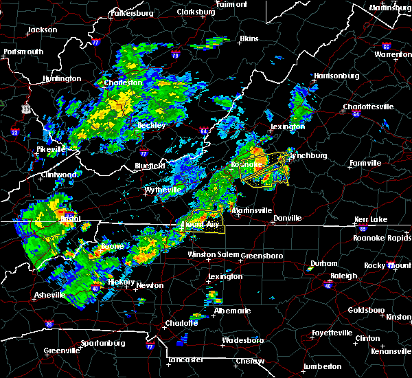 The severe thunderstorm warning for northeastern surry, northern stokes and patrick counties will expire at 500 pm edt, the storm which prompted the warning has weakened below severe limits, and no longer poses an immediate threat to life or property. therefore, the warning will be allowed to expire. however heavy rain is still possible with this thunderstorm. when it is safe to do so, please send your reports of hail of any size, as well as reports of any wind damage, including downed trees or large limbs, to the national weather service by calling toll free at 1, 8 6 6, 2 1 5, 4 3 2 4. reports and pictures can also be shared on the national weather service blacksburg facebook page and on twitter. The severe thunderstorm warning for northeastern surry, northern stokes and patrick counties will expire at 500 pm edt, the storm which prompted the warning has weakened below severe limits, and no longer poses an immediate threat to life or property. therefore, the warning will be allowed to expire. however heavy rain is still possible with this thunderstorm. when it is safe to do so, please send your reports of hail of any size, as well as reports of any wind damage, including downed trees or large limbs, to the national weather service by calling toll free at 1, 8 6 6, 2 1 5, 4 3 2 4. reports and pictures can also be shared on the national weather service blacksburg facebook page and on twitter.
|
| 7/22/2019 4:34 PM EDT |
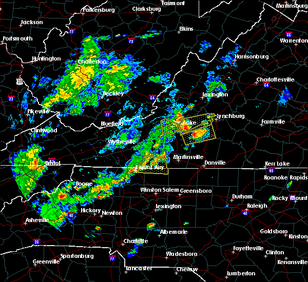 At 434 pm edt, a severe thunderstorm was located over stuart, moving east at 15 mph (radar indicated). Hazards include 60 mph wind gusts. Expect damage to roofs, siding, and trees. Locations impacted include, stuart, ararat, francisco, sandy ridge, and critz. At 434 pm edt, a severe thunderstorm was located over stuart, moving east at 15 mph (radar indicated). Hazards include 60 mph wind gusts. Expect damage to roofs, siding, and trees. Locations impacted include, stuart, ararat, francisco, sandy ridge, and critz.
|
| 7/22/2019 4:34 PM EDT |
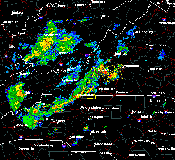 At 434 pm edt, a severe thunderstorm was located over stuart, moving east at 15 mph (radar indicated). Hazards include 60 mph wind gusts. Expect damage to roofs, siding, and trees. Locations impacted include, stuart, ararat, francisco, sandy ridge, and critz. At 434 pm edt, a severe thunderstorm was located over stuart, moving east at 15 mph (radar indicated). Hazards include 60 mph wind gusts. Expect damage to roofs, siding, and trees. Locations impacted include, stuart, ararat, francisco, sandy ridge, and critz.
|
| 7/22/2019 4:05 PM EDT |
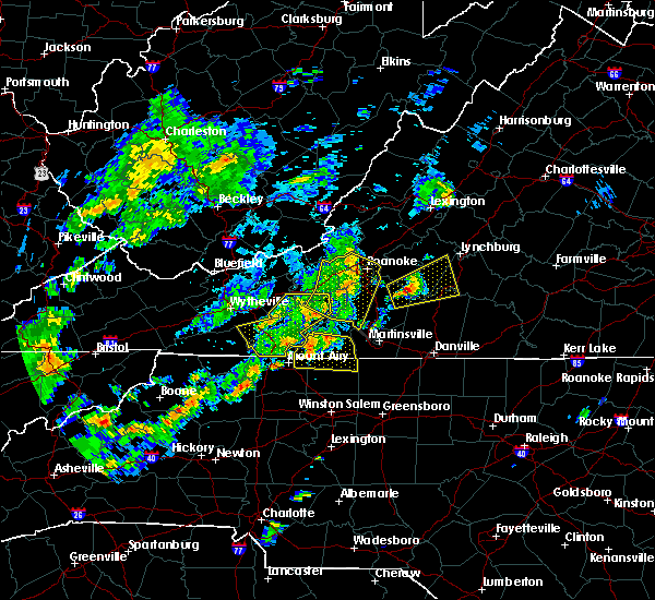 At 405 pm edt, a severe thunderstorm was located near ararat, moving east at 15 mph (radar indicated). Hazards include 60 mph wind gusts and quarter size hail. Hail damage to vehicles is expected. Expect wind damage to roofs, siding, and trees. At 405 pm edt, a severe thunderstorm was located near ararat, moving east at 15 mph (radar indicated). Hazards include 60 mph wind gusts and quarter size hail. Hail damage to vehicles is expected. Expect wind damage to roofs, siding, and trees.
|
| 7/22/2019 4:05 PM EDT |
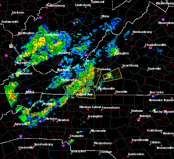 At 405 pm edt, a severe thunderstorm was located near ararat, moving east at 15 mph (radar indicated). Hazards include 60 mph wind gusts and quarter size hail. Hail damage to vehicles is expected. Expect wind damage to roofs, siding, and trees. At 405 pm edt, a severe thunderstorm was located near ararat, moving east at 15 mph (radar indicated). Hazards include 60 mph wind gusts and quarter size hail. Hail damage to vehicles is expected. Expect wind damage to roofs, siding, and trees.
|
| 7/22/2019 2:58 PM EDT |
 At 257 pm edt, a severe thunderstorm was located near buffalo ridge, moving east at 15 mph (radar indicated). Hazards include 60 mph wind gusts and quarter size hail. Hail damage to vehicles is expected. Expect wind damage to roofs, siding, and trees. At 257 pm edt, a severe thunderstorm was located near buffalo ridge, moving east at 15 mph (radar indicated). Hazards include 60 mph wind gusts and quarter size hail. Hail damage to vehicles is expected. Expect wind damage to roofs, siding, and trees.
|
| 6/30/2019 4:37 PM EDT |
 The severe thunderstorm warning for southwestern henry and southeastern patrick counties will expire at 445 pm edt, the storm which prompted the warning has weakened below severe limits and has exited the warned area. therefore, the warning will be allowed to expire. when it is safe to do so, please send your reports of hail of any size, as well as reports of any wind damage, including downed trees or large limbs, to the national weather service by calling toll free at 1, 8 6 6, 2 1 5, 4 3 2 4. reports and pictures can also be shared on the national weather service blacksburg facebook page and on twitter. The severe thunderstorm warning for southwestern henry and southeastern patrick counties will expire at 445 pm edt, the storm which prompted the warning has weakened below severe limits and has exited the warned area. therefore, the warning will be allowed to expire. when it is safe to do so, please send your reports of hail of any size, as well as reports of any wind damage, including downed trees or large limbs, to the national weather service by calling toll free at 1, 8 6 6, 2 1 5, 4 3 2 4. reports and pictures can also be shared on the national weather service blacksburg facebook page and on twitter.
|
| 6/30/2019 4:18 PM EDT |
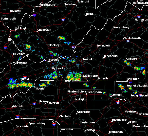 At 417 pm edt, a severe thunderstorm was located near critz, moving southeast at 30 mph (radar indicated). Hazards include 60 mph wind gusts. Expect damage to roofs, siding, and trees. locations impacted include, stuart, spencer, bassett, sanville, and penns store. This includes the following location martinsville airport. At 417 pm edt, a severe thunderstorm was located near critz, moving southeast at 30 mph (radar indicated). Hazards include 60 mph wind gusts. Expect damage to roofs, siding, and trees. locations impacted include, stuart, spencer, bassett, sanville, and penns store. This includes the following location martinsville airport.
|
| 6/30/2019 3:59 PM EDT |
 At 358 pm edt, a severe thunderstorm was located over charity, moving southeast at 25 mph (radar indicated). Hazards include 60 mph wind gusts. Expect damage to roofs, siding, and trees. locations impacted include, stuart, spencer, woolwine, bassett, and critz. This includes the following location martinsville airport. At 358 pm edt, a severe thunderstorm was located over charity, moving southeast at 25 mph (radar indicated). Hazards include 60 mph wind gusts. Expect damage to roofs, siding, and trees. locations impacted include, stuart, spencer, woolwine, bassett, and critz. This includes the following location martinsville airport.
|
| 6/30/2019 3:51 PM EDT |
 At 351 pm edt, a severe thunderstorm was located over charity, moving southeast at 30 mph (radar indicated). Hazards include 60 mph wind gusts. expect damage to roofs, siding, and trees At 351 pm edt, a severe thunderstorm was located over charity, moving southeast at 30 mph (radar indicated). Hazards include 60 mph wind gusts. expect damage to roofs, siding, and trees
|
| 6/17/2019 5:05 PM EDT |
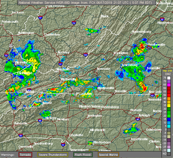 The severe thunderstorm warning for northeastern surry, northern stokes and southeastern patrick counties will expire at 515 pm edt, the storm which prompted the warning has weakened below severe limits, and no longer poses an immediate threat to life or property. therefore, the warning will be allowed to expire. however heavy rain is still possible with this thunderstorm. when it is safe to do so, please send your reports of hail of any size, as well as reports of any wind damage, including downed trees or large limbs, to the national weather service by calling toll free at 1, 8 6 6, 2 1 5, 4 3 2 4. reports and pictures can also be shared on the national weather service blacksburg facebook page and on twitter. The severe thunderstorm warning for northeastern surry, northern stokes and southeastern patrick counties will expire at 515 pm edt, the storm which prompted the warning has weakened below severe limits, and no longer poses an immediate threat to life or property. therefore, the warning will be allowed to expire. however heavy rain is still possible with this thunderstorm. when it is safe to do so, please send your reports of hail of any size, as well as reports of any wind damage, including downed trees or large limbs, to the national weather service by calling toll free at 1, 8 6 6, 2 1 5, 4 3 2 4. reports and pictures can also be shared on the national weather service blacksburg facebook page and on twitter.
|
|
|
| 6/17/2019 5:05 PM EDT |
 The severe thunderstorm warning for northeastern surry, northern stokes and southeastern patrick counties will expire at 515 pm edt, the storm which prompted the warning has weakened below severe limits, and no longer poses an immediate threat to life or property. therefore, the warning will be allowed to expire. however heavy rain is still possible with this thunderstorm. when it is safe to do so, please send your reports of hail of any size, as well as reports of any wind damage, including downed trees or large limbs, to the national weather service by calling toll free at 1, 8 6 6, 2 1 5, 4 3 2 4. reports and pictures can also be shared on the national weather service blacksburg facebook page and on twitter. The severe thunderstorm warning for northeastern surry, northern stokes and southeastern patrick counties will expire at 515 pm edt, the storm which prompted the warning has weakened below severe limits, and no longer poses an immediate threat to life or property. therefore, the warning will be allowed to expire. however heavy rain is still possible with this thunderstorm. when it is safe to do so, please send your reports of hail of any size, as well as reports of any wind damage, including downed trees or large limbs, to the national weather service by calling toll free at 1, 8 6 6, 2 1 5, 4 3 2 4. reports and pictures can also be shared on the national weather service blacksburg facebook page and on twitter.
|
| 6/17/2019 4:47 PM EDT |
 At 447 pm edt, a severe thunderstorm was located near stuart, moving east at 20 mph (radar indicated). Hazards include 60 mph wind gusts and quarter size hail. Hail damage to vehicles is expected. expect wind damage to roofs, siding, and trees. Locations impacted include, stuart, francisco, sandy ridge, penns store, and critz. At 447 pm edt, a severe thunderstorm was located near stuart, moving east at 20 mph (radar indicated). Hazards include 60 mph wind gusts and quarter size hail. Hail damage to vehicles is expected. expect wind damage to roofs, siding, and trees. Locations impacted include, stuart, francisco, sandy ridge, penns store, and critz.
|
| 6/17/2019 4:47 PM EDT |
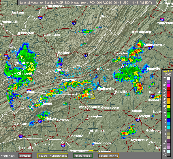 At 447 pm edt, a severe thunderstorm was located near stuart, moving east at 20 mph (radar indicated). Hazards include 60 mph wind gusts and quarter size hail. Hail damage to vehicles is expected. expect wind damage to roofs, siding, and trees. Locations impacted include, stuart, francisco, sandy ridge, penns store, and critz. At 447 pm edt, a severe thunderstorm was located near stuart, moving east at 20 mph (radar indicated). Hazards include 60 mph wind gusts and quarter size hail. Hail damage to vehicles is expected. expect wind damage to roofs, siding, and trees. Locations impacted include, stuart, francisco, sandy ridge, penns store, and critz.
|
| 6/17/2019 4:38 PM EDT |
 At 438 pm edt, a severe thunderstorm was located near collinstown, moving east at 25 mph (radar indicated). Hazards include 60 mph wind gusts and quarter size hail. Hail damage to vehicles is expected. expect wind damage to roofs, siding, and trees. Locations impacted include, stuart, francisco, sandy ridge, critz, and woodville. At 438 pm edt, a severe thunderstorm was located near collinstown, moving east at 25 mph (radar indicated). Hazards include 60 mph wind gusts and quarter size hail. Hail damage to vehicles is expected. expect wind damage to roofs, siding, and trees. Locations impacted include, stuart, francisco, sandy ridge, critz, and woodville.
|
| 6/17/2019 4:38 PM EDT |
 At 438 pm edt, a severe thunderstorm was located near collinstown, moving east at 25 mph (radar indicated). Hazards include 60 mph wind gusts and quarter size hail. Hail damage to vehicles is expected. expect wind damage to roofs, siding, and trees. Locations impacted include, stuart, francisco, sandy ridge, critz, and woodville. At 438 pm edt, a severe thunderstorm was located near collinstown, moving east at 25 mph (radar indicated). Hazards include 60 mph wind gusts and quarter size hail. Hail damage to vehicles is expected. expect wind damage to roofs, siding, and trees. Locations impacted include, stuart, francisco, sandy ridge, critz, and woodville.
|
| 6/17/2019 4:30 PM EDT |
Patrick co. warning point received call of downed tree. timing estimated by rada in patrick county VA, 7.6 miles NE of Stuart, VA
|
| 6/17/2019 4:13 PM EDT |
 At 413 pm edt, a severe thunderstorm was located near woodville, moving east at 20 mph (radar indicated). Hazards include 60 mph wind gusts and quarter size hail. Hail damage to vehicles is expected. Expect wind damage to roofs, siding, and trees. At 413 pm edt, a severe thunderstorm was located near woodville, moving east at 20 mph (radar indicated). Hazards include 60 mph wind gusts and quarter size hail. Hail damage to vehicles is expected. Expect wind damage to roofs, siding, and trees.
|
| 6/17/2019 4:13 PM EDT |
 At 413 pm edt, a severe thunderstorm was located near woodville, moving east at 20 mph (radar indicated). Hazards include 60 mph wind gusts and quarter size hail. Hail damage to vehicles is expected. Expect wind damage to roofs, siding, and trees. At 413 pm edt, a severe thunderstorm was located near woodville, moving east at 20 mph (radar indicated). Hazards include 60 mph wind gusts and quarter size hail. Hail damage to vehicles is expected. Expect wind damage to roofs, siding, and trees.
|
| 5/31/2019 2:11 PM EDT |
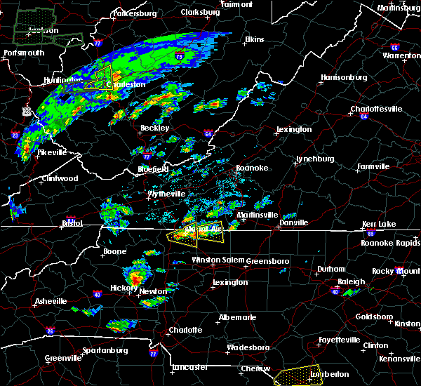 At 210 pm edt, a severe thunderstorm was located over westfield, moving east at 20 mph (radar indicated). Hazards include 60 mph wind gusts. expect damage to roofs, siding, and trees At 210 pm edt, a severe thunderstorm was located over westfield, moving east at 20 mph (radar indicated). Hazards include 60 mph wind gusts. expect damage to roofs, siding, and trees
|
| 5/31/2019 2:11 PM EDT |
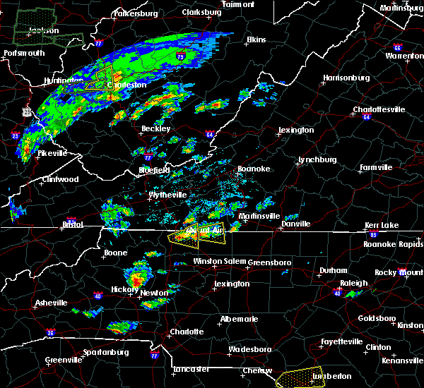 At 210 pm edt, a severe thunderstorm was located over westfield, moving east at 20 mph (radar indicated). Hazards include 60 mph wind gusts. expect damage to roofs, siding, and trees At 210 pm edt, a severe thunderstorm was located over westfield, moving east at 20 mph (radar indicated). Hazards include 60 mph wind gusts. expect damage to roofs, siding, and trees
|
| 5/29/2019 6:56 PM EDT |
 At 620 pm edt, severe thunderstorms were located along a line extending from near gretna to near woolwine to sparta, moving east at 60 mph (radar indicated). Hazards include 60 mph wind gusts and quarter size hail. Hail damage to vehicles is expected. expect wind damage to roofs, siding, and trees. locations impacted include, martinsville, mount airy, galax, flat rock, and hillsville. This includes the following locations the martinsville speedway and martinsville airport. At 620 pm edt, severe thunderstorms were located along a line extending from near gretna to near woolwine to sparta, moving east at 60 mph (radar indicated). Hazards include 60 mph wind gusts and quarter size hail. Hail damage to vehicles is expected. expect wind damage to roofs, siding, and trees. locations impacted include, martinsville, mount airy, galax, flat rock, and hillsville. This includes the following locations the martinsville speedway and martinsville airport.
|
| 5/29/2019 6:56 PM EDT |
 The severe thunderstorm warning for alleghany and northern surry counties in northwestern north carolina, southern floyd county in southwestern virginia, central pittsylvania county in south central virginia, carroll county in southwestern virginia, henry county in south central virginia, southeastern grayson county in southwestern virginia, southern franklin county in west central virginia and patrick counties in southwestern virginia, the city of martinsville and the city of galax will expire at 700 pm edt, the storms which prompted the warning have moved out of the area. therefore, the warning will be allowed to expire and a new warning has been issued further to the east. a severe thunderstorm watch remains in effect until 900 pm edt for north central north carolina, and south central, central, southwestern and west central virginia. when it is safe to do so, please send your reports of hail of any size, as well as reports of any wind damage, including downed trees or large limbs, to the national weather service by calling toll free at 1, 8 6 6, 2 1 5, 4 3 2 4. reports and pictures can also be shared on the national weather service blacksburg facebook page and on twitter. The severe thunderstorm warning for alleghany and northern surry counties in northwestern north carolina, southern floyd county in southwestern virginia, central pittsylvania county in south central virginia, carroll county in southwestern virginia, henry county in south central virginia, southeastern grayson county in southwestern virginia, southern franklin county in west central virginia and patrick counties in southwestern virginia, the city of martinsville and the city of galax will expire at 700 pm edt, the storms which prompted the warning have moved out of the area. therefore, the warning will be allowed to expire and a new warning has been issued further to the east. a severe thunderstorm watch remains in effect until 900 pm edt for north central north carolina, and south central, central, southwestern and west central virginia. when it is safe to do so, please send your reports of hail of any size, as well as reports of any wind damage, including downed trees or large limbs, to the national weather service by calling toll free at 1, 8 6 6, 2 1 5, 4 3 2 4. reports and pictures can also be shared on the national weather service blacksburg facebook page and on twitter.
|
| 5/29/2019 6:21 PM EDT |
 At 620 pm edt, severe thunderstorms were located along a line extending from near gretna to near woolwine to sparta, moving east at 60 mph (radar indicated). Hazards include 60 mph wind gusts and quarter size hail. Hail damage to vehicles is expected. expect wind damage to roofs, siding, and trees. locations impacted include, martinsville, mount airy, galax, flat rock, and hillsville. This includes the following locations the martinsville speedway and martinsville airport. At 620 pm edt, severe thunderstorms were located along a line extending from near gretna to near woolwine to sparta, moving east at 60 mph (radar indicated). Hazards include 60 mph wind gusts and quarter size hail. Hail damage to vehicles is expected. expect wind damage to roofs, siding, and trees. locations impacted include, martinsville, mount airy, galax, flat rock, and hillsville. This includes the following locations the martinsville speedway and martinsville airport.
|
| 5/29/2019 6:21 PM EDT |
 At 620 pm edt, severe thunderstorms were located along a line extending from near gretna to near woolwine to sparta, moving east at 60 mph (radar indicated). Hazards include 60 mph wind gusts and quarter size hail. Hail damage to vehicles is expected. expect wind damage to roofs, siding, and trees. locations impacted include, martinsville, mount airy, galax, flat rock, and hillsville. This includes the following locations the martinsville speedway and martinsville airport. At 620 pm edt, severe thunderstorms were located along a line extending from near gretna to near woolwine to sparta, moving east at 60 mph (radar indicated). Hazards include 60 mph wind gusts and quarter size hail. Hail damage to vehicles is expected. expect wind damage to roofs, siding, and trees. locations impacted include, martinsville, mount airy, galax, flat rock, and hillsville. This includes the following locations the martinsville speedway and martinsville airport.
|
| 5/29/2019 6:00 PM EDT |
 At 600 pm edt, severe thunderstorms were located along a line extending from near copper hill to volney, moving southeast at 55 mph (radar indicated). Hazards include 60 mph wind gusts and quarter size hail. Hail damage to vehicles is expected. Expect wind damage to roofs, siding, and trees. At 600 pm edt, severe thunderstorms were located along a line extending from near copper hill to volney, moving southeast at 55 mph (radar indicated). Hazards include 60 mph wind gusts and quarter size hail. Hail damage to vehicles is expected. Expect wind damage to roofs, siding, and trees.
|
| 5/29/2019 6:00 PM EDT |
 At 600 pm edt, severe thunderstorms were located along a line extending from near copper hill to volney, moving southeast at 55 mph (radar indicated). Hazards include 60 mph wind gusts and quarter size hail. Hail damage to vehicles is expected. Expect wind damage to roofs, siding, and trees. At 600 pm edt, severe thunderstorms were located along a line extending from near copper hill to volney, moving southeast at 55 mph (radar indicated). Hazards include 60 mph wind gusts and quarter size hail. Hail damage to vehicles is expected. Expect wind damage to roofs, siding, and trees.
|
| 4/15/2019 12:38 AM EDT |
 The severe thunderstorm warning for stokes, western henry, southwestern franklin and eastern patrick counties will expire at 1245 am edt, the storms which prompted the warning have weakened below severe limits, and no longer pose an immediate threat to life or property. therefore, the warning will be allowed to expire. however gusty winds are still possible with these thunderstorms. a tornado watch remains in effect until 500 am edt for north central and northwestern north carolina, and south central, southwestern and west central virginia. when it is safe to do so, please send your reports of hail of any size, as well as reports of any wind damage, including downed trees or large limbs, to the national weather service by calling toll free at 1, 8 6 6, 2 1 5, 4 3 2 4. reports and pictures can also be shared on the national weather service blacksburg facebook page and on twitter. The severe thunderstorm warning for stokes, western henry, southwestern franklin and eastern patrick counties will expire at 1245 am edt, the storms which prompted the warning have weakened below severe limits, and no longer pose an immediate threat to life or property. therefore, the warning will be allowed to expire. however gusty winds are still possible with these thunderstorms. a tornado watch remains in effect until 500 am edt for north central and northwestern north carolina, and south central, southwestern and west central virginia. when it is safe to do so, please send your reports of hail of any size, as well as reports of any wind damage, including downed trees or large limbs, to the national weather service by calling toll free at 1, 8 6 6, 2 1 5, 4 3 2 4. reports and pictures can also be shared on the national weather service blacksburg facebook page and on twitter.
|
| 4/15/2019 12:38 AM EDT |
 The severe thunderstorm warning for stokes, western henry, southwestern franklin and eastern patrick counties will expire at 1245 am edt, the storms which prompted the warning have weakened below severe limits, and no longer pose an immediate threat to life or property. therefore, the warning will be allowed to expire. however gusty winds are still possible with these thunderstorms. a tornado watch remains in effect until 500 am edt for north central and northwestern north carolina, and south central, southwestern and west central virginia. when it is safe to do so, please send your reports of hail of any size, as well as reports of any wind damage, including downed trees or large limbs, to the national weather service by calling toll free at 1, 8 6 6, 2 1 5, 4 3 2 4. reports and pictures can also be shared on the national weather service blacksburg facebook page and on twitter. The severe thunderstorm warning for stokes, western henry, southwestern franklin and eastern patrick counties will expire at 1245 am edt, the storms which prompted the warning have weakened below severe limits, and no longer pose an immediate threat to life or property. therefore, the warning will be allowed to expire. however gusty winds are still possible with these thunderstorms. a tornado watch remains in effect until 500 am edt for north central and northwestern north carolina, and south central, southwestern and west central virginia. when it is safe to do so, please send your reports of hail of any size, as well as reports of any wind damage, including downed trees or large limbs, to the national weather service by calling toll free at 1, 8 6 6, 2 1 5, 4 3 2 4. reports and pictures can also be shared on the national weather service blacksburg facebook page and on twitter.
|
| 4/15/2019 12:25 AM EDT |
 At 1225 am edt, severe thunderstorms were located along a line extending from near ferrum to near clemmons, moving east at 25 mph (radar indicated). Hazards include 60 mph wind gusts. Expect damage to roofs, siding, and trees. locations impacted include, walnut cove, stuart, danbury, ferrum, and spencer. A tornado watch remains in effect until 500 am edt for north central and northwestern north carolina, and south central, southwestern and west central virginia. At 1225 am edt, severe thunderstorms were located along a line extending from near ferrum to near clemmons, moving east at 25 mph (radar indicated). Hazards include 60 mph wind gusts. Expect damage to roofs, siding, and trees. locations impacted include, walnut cove, stuart, danbury, ferrum, and spencer. A tornado watch remains in effect until 500 am edt for north central and northwestern north carolina, and south central, southwestern and west central virginia.
|
| 4/15/2019 12:25 AM EDT |
 At 1225 am edt, severe thunderstorms were located along a line extending from near ferrum to near clemmons, moving east at 25 mph (radar indicated). Hazards include 60 mph wind gusts. Expect damage to roofs, siding, and trees. locations impacted include, walnut cove, stuart, danbury, ferrum, and spencer. A tornado watch remains in effect until 500 am edt for north central and northwestern north carolina, and south central, southwestern and west central virginia. At 1225 am edt, severe thunderstorms were located along a line extending from near ferrum to near clemmons, moving east at 25 mph (radar indicated). Hazards include 60 mph wind gusts. Expect damage to roofs, siding, and trees. locations impacted include, walnut cove, stuart, danbury, ferrum, and spencer. A tornado watch remains in effect until 500 am edt for north central and northwestern north carolina, and south central, southwestern and west central virginia.
|
| 4/15/2019 12:09 AM EDT |
 At 1208 am edt, severe thunderstorms were located along a line extending from near endicott to near huntsville, moving east at 35 mph (radar indicated). Hazards include 60 mph wind gusts. Expect damage to roofs, siding, and trees. locations impacted include, pilot mountain, walnut cove, stuart, east bend, and danbury. A tornado watch remains in effect until 500 am edt for north central and northwestern north carolina, and south central, southwestern and west central virginia. At 1208 am edt, severe thunderstorms were located along a line extending from near endicott to near huntsville, moving east at 35 mph (radar indicated). Hazards include 60 mph wind gusts. Expect damage to roofs, siding, and trees. locations impacted include, pilot mountain, walnut cove, stuart, east bend, and danbury. A tornado watch remains in effect until 500 am edt for north central and northwestern north carolina, and south central, southwestern and west central virginia.
|
| 4/15/2019 12:09 AM EDT |
 At 1208 am edt, severe thunderstorms were located along a line extending from near endicott to near huntsville, moving east at 35 mph (radar indicated). Hazards include 60 mph wind gusts. Expect damage to roofs, siding, and trees. locations impacted include, pilot mountain, walnut cove, stuart, east bend, and danbury. A tornado watch remains in effect until 500 am edt for north central and northwestern north carolina, and south central, southwestern and west central virginia. At 1208 am edt, severe thunderstorms were located along a line extending from near endicott to near huntsville, moving east at 35 mph (radar indicated). Hazards include 60 mph wind gusts. Expect damage to roofs, siding, and trees. locations impacted include, pilot mountain, walnut cove, stuart, east bend, and danbury. A tornado watch remains in effect until 500 am edt for north central and northwestern north carolina, and south central, southwestern and west central virginia.
|
| 4/14/2019 11:39 PM EDT |
 At 1139 pm edt, severe thunderstorms were located along a line extending from near alum ridge to near buck shoals, moving east at 25 mph (radar indicated). Hazards include 60 mph wind gusts. expect damage to roofs, siding, and trees At 1139 pm edt, severe thunderstorms were located along a line extending from near alum ridge to near buck shoals, moving east at 25 mph (radar indicated). Hazards include 60 mph wind gusts. expect damage to roofs, siding, and trees
|
| 4/14/2019 11:39 PM EDT |
 At 1139 pm edt, severe thunderstorms were located along a line extending from near alum ridge to near buck shoals, moving east at 25 mph (radar indicated). Hazards include 60 mph wind gusts. expect damage to roofs, siding, and trees At 1139 pm edt, severe thunderstorms were located along a line extending from near alum ridge to near buck shoals, moving east at 25 mph (radar indicated). Hazards include 60 mph wind gusts. expect damage to roofs, siding, and trees
|
| 4/14/2019 3:29 PM EDT |
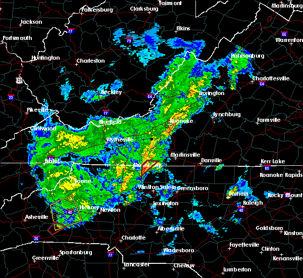 At 327 pm edt, a severe thunderstorm capable of producing a tornado was located near westfield, moving northeast at 45 mph. while the storm has shown signs of weakening rotation, reintensification is possible (radar indicated rotation). Hazards include tornado. Flying debris will be dangerous to those caught without shelter. mobile homes will be damaged or destroyed. damage to roofs, windows, and vehicles will occur. tree damage is likely. Locations impacted include, stuart, francisco, collinstown, patrick springs, and critz. At 327 pm edt, a severe thunderstorm capable of producing a tornado was located near westfield, moving northeast at 45 mph. while the storm has shown signs of weakening rotation, reintensification is possible (radar indicated rotation). Hazards include tornado. Flying debris will be dangerous to those caught without shelter. mobile homes will be damaged or destroyed. damage to roofs, windows, and vehicles will occur. tree damage is likely. Locations impacted include, stuart, francisco, collinstown, patrick springs, and critz.
|
|
|
| 4/14/2019 3:29 PM EDT |
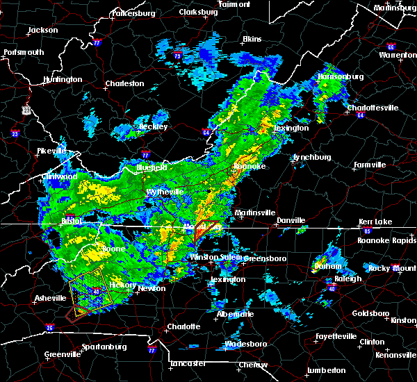 At 327 pm edt, a severe thunderstorm capable of producing a tornado was located near westfield, moving northeast at 45 mph. while the storm has shown signs of weakening rotation, reintensification is possible (radar indicated rotation). Hazards include tornado. Flying debris will be dangerous to those caught without shelter. mobile homes will be damaged or destroyed. damage to roofs, windows, and vehicles will occur. tree damage is likely. Locations impacted include, stuart, francisco, collinstown, patrick springs, and critz. At 327 pm edt, a severe thunderstorm capable of producing a tornado was located near westfield, moving northeast at 45 mph. while the storm has shown signs of weakening rotation, reintensification is possible (radar indicated rotation). Hazards include tornado. Flying debris will be dangerous to those caught without shelter. mobile homes will be damaged or destroyed. damage to roofs, windows, and vehicles will occur. tree damage is likely. Locations impacted include, stuart, francisco, collinstown, patrick springs, and critz.
|
| 4/14/2019 3:13 PM EDT |
 At 312 pm edt, a severe thunderstorm capable of producing a tornado was located over pilot mountain state park, moving northeast at 50 mph (radar indicated rotation). Hazards include tornado. Flying debris will be dangerous to those caught without shelter. mobile homes will be damaged or destroyed. damage to roofs, windows, and vehicles will occur. Tree damage is likely. At 312 pm edt, a severe thunderstorm capable of producing a tornado was located over pilot mountain state park, moving northeast at 50 mph (radar indicated rotation). Hazards include tornado. Flying debris will be dangerous to those caught without shelter. mobile homes will be damaged or destroyed. damage to roofs, windows, and vehicles will occur. Tree damage is likely.
|
| 4/14/2019 3:13 PM EDT |
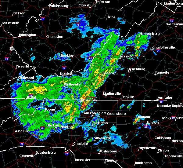 At 312 pm edt, a severe thunderstorm capable of producing a tornado was located over pilot mountain state park, moving northeast at 50 mph (radar indicated rotation). Hazards include tornado. Flying debris will be dangerous to those caught without shelter. mobile homes will be damaged or destroyed. damage to roofs, windows, and vehicles will occur. Tree damage is likely. At 312 pm edt, a severe thunderstorm capable of producing a tornado was located over pilot mountain state park, moving northeast at 50 mph (radar indicated rotation). Hazards include tornado. Flying debris will be dangerous to those caught without shelter. mobile homes will be damaged or destroyed. damage to roofs, windows, and vehicles will occur. Tree damage is likely.
|
| 9/1/2018 12:28 AM EDT |
Large tree limbs down along highway 5 in patrick county VA, 12.2 miles SW of Stuart, VA
|
| 8/30/2018 1:37 PM EDT |
 At 134 pm edt, an area severe thunderstorms was drifting east at less than 10 mph across portions of eastern patrick county into northwest henry county (radar indicated). Hazards include 60 mph wind gusts. Expect damage to roofs, siding, and trees. Locations impacted include, stuart, spencer, bassett, woolwine, and critz. At 134 pm edt, an area severe thunderstorms was drifting east at less than 10 mph across portions of eastern patrick county into northwest henry county (radar indicated). Hazards include 60 mph wind gusts. Expect damage to roofs, siding, and trees. Locations impacted include, stuart, spencer, bassett, woolwine, and critz.
|
| 8/30/2018 1:16 PM EDT |
 At 116 pm edt, a severe thunderstorm was located near critz, moving east at 10 mph (radar indicated). Hazards include 60 mph wind gusts. expect damage to roofs, siding, and trees At 116 pm edt, a severe thunderstorm was located near critz, moving east at 10 mph (radar indicated). Hazards include 60 mph wind gusts. expect damage to roofs, siding, and trees
|
| 8/1/2018 5:48 PM EDT |
 At 548 pm edt, severe thunderstorms were located along a line extending from near fairy stone state park to near dillard, moving northeast at 40 mph (radar indicated). Hazards include 60 mph wind gusts. Expect damage to roofs, siding, and trees. Locations impacted include, mayodan, madison, stuart, stoneville, and danbury. At 548 pm edt, severe thunderstorms were located along a line extending from near fairy stone state park to near dillard, moving northeast at 40 mph (radar indicated). Hazards include 60 mph wind gusts. Expect damage to roofs, siding, and trees. Locations impacted include, mayodan, madison, stuart, stoneville, and danbury.
|
| 8/1/2018 5:48 PM EDT |
 At 548 pm edt, severe thunderstorms were located along a line extending from near fairy stone state park to near dillard, moving northeast at 40 mph (radar indicated). Hazards include 60 mph wind gusts. Expect damage to roofs, siding, and trees. Locations impacted include, mayodan, madison, stuart, stoneville, and danbury. At 548 pm edt, severe thunderstorms were located along a line extending from near fairy stone state park to near dillard, moving northeast at 40 mph (radar indicated). Hazards include 60 mph wind gusts. Expect damage to roofs, siding, and trees. Locations impacted include, mayodan, madison, stuart, stoneville, and danbury.
|
| 8/1/2018 5:34 PM EDT |
 At 533 pm edt, severe thunderstorms were located along a line extending from near buffalo ridge to near walnut cove, moving northeast at 40 mph (radar indicated). Hazards include 60 mph wind gusts. Expect damage to roofs, siding, and trees. Locations impacted include, mayodan, madison, walnut cove, stuart, and stoneville. At 533 pm edt, severe thunderstorms were located along a line extending from near buffalo ridge to near walnut cove, moving northeast at 40 mph (radar indicated). Hazards include 60 mph wind gusts. Expect damage to roofs, siding, and trees. Locations impacted include, mayodan, madison, walnut cove, stuart, and stoneville.
|
| 8/1/2018 5:34 PM EDT |
 At 533 pm edt, severe thunderstorms were located along a line extending from near buffalo ridge to near walnut cove, moving northeast at 40 mph (radar indicated). Hazards include 60 mph wind gusts. Expect damage to roofs, siding, and trees. Locations impacted include, mayodan, madison, walnut cove, stuart, and stoneville. At 533 pm edt, severe thunderstorms were located along a line extending from near buffalo ridge to near walnut cove, moving northeast at 40 mph (radar indicated). Hazards include 60 mph wind gusts. Expect damage to roofs, siding, and trees. Locations impacted include, mayodan, madison, walnut cove, stuart, and stoneville.
|
| 8/1/2018 5:10 PM EDT |
 The national weather service in blacksburg has issued a * severe thunderstorm warning for. eastern surry county in northwestern north carolina. stokes county in north central north carolina. northwestern rockingham county in north central north carolina. Western henry county in south central virginia. The national weather service in blacksburg has issued a * severe thunderstorm warning for. eastern surry county in northwestern north carolina. stokes county in north central north carolina. northwestern rockingham county in north central north carolina. Western henry county in south central virginia.
|
| 8/1/2018 5:10 PM EDT |
 At 510 pm edt, severe thunderstorms were located along a line extending from near ararat to near king, moving northeast at 40 mph (radar indicated). Hazards include 60 mph wind gusts. expect damage to roofs, siding, and trees At 510 pm edt, severe thunderstorms were located along a line extending from near ararat to near king, moving northeast at 40 mph (radar indicated). Hazards include 60 mph wind gusts. expect damage to roofs, siding, and trees
|
| 7/30/2018 10:01 PM EDT |
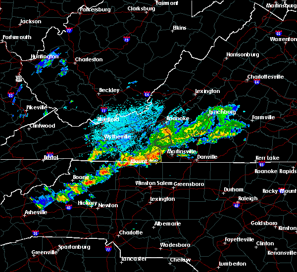 At 939 pm edt, severe thunderstorms were located along a line extending from near philpott dam to near patrick springs, and are nearly stationary (radar indicated). Hazards include 60 mph wind gusts and quarter size hail. Hail damage to vehicles is expected. Expect wind damage to roofs, siding, and trees. At 939 pm edt, severe thunderstorms were located along a line extending from near philpott dam to near patrick springs, and are nearly stationary (radar indicated). Hazards include 60 mph wind gusts and quarter size hail. Hail damage to vehicles is expected. Expect wind damage to roofs, siding, and trees.
|
| 7/30/2018 9:39 PM EDT |
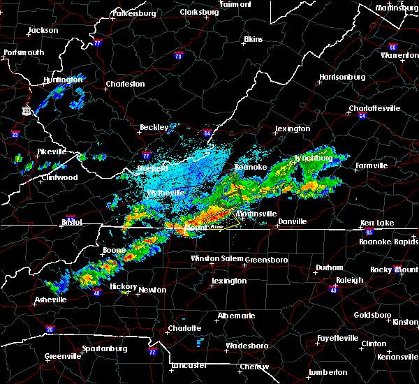 At 939 pm edt, severe thunderstorms were located along a line extending from near philpott dam to near patrick springs, and are nearly stationary (radar indicated). Hazards include 60 mph wind gusts and quarter size hail. Hail damage to vehicles is expected. Expect wind damage to roofs, siding, and trees. At 939 pm edt, severe thunderstorms were located along a line extending from near philpott dam to near patrick springs, and are nearly stationary (radar indicated). Hazards include 60 mph wind gusts and quarter size hail. Hail damage to vehicles is expected. Expect wind damage to roofs, siding, and trees.
|
| 5/21/2018 3:40 PM EDT |
 The severe thunderstorm warning for northwestern stokes and south central patrick counties will expire at 345 pm edt, the storm which prompted the warning has weakened below severe limits, and no longer poses an immediate threat to life or property. therefore, the warning will be allowed to expire. however gusty winds and heavy rain are still possible with this thunderstorm. when it is safe to do so, please send your reports of hail of any size, as well as reports of any wind damage, including downed trees or large limbs, to the national weather service by calling toll free at 1, 8 6 6, 2 1 5, 4 3 2 4. reports and pictures can also be shared on the national weather service blacksburg facebook page and on twitter. The severe thunderstorm warning for northwestern stokes and south central patrick counties will expire at 345 pm edt, the storm which prompted the warning has weakened below severe limits, and no longer poses an immediate threat to life or property. therefore, the warning will be allowed to expire. however gusty winds and heavy rain are still possible with this thunderstorm. when it is safe to do so, please send your reports of hail of any size, as well as reports of any wind damage, including downed trees or large limbs, to the national weather service by calling toll free at 1, 8 6 6, 2 1 5, 4 3 2 4. reports and pictures can also be shared on the national weather service blacksburg facebook page and on twitter.
|
| 5/21/2018 3:40 PM EDT |
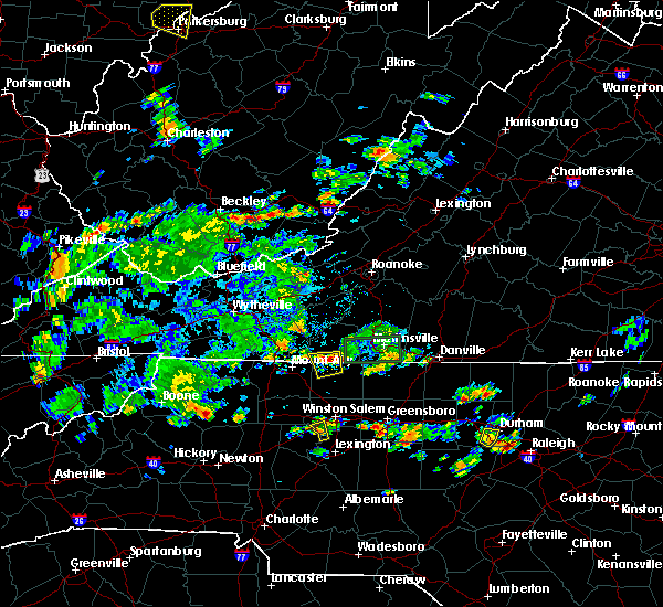 The severe thunderstorm warning for northwestern stokes and south central patrick counties will expire at 345 pm edt, the storm which prompted the warning has weakened below severe limits, and no longer poses an immediate threat to life or property. therefore, the warning will be allowed to expire. however gusty winds and heavy rain are still possible with this thunderstorm. when it is safe to do so, please send your reports of hail of any size, as well as reports of any wind damage, including downed trees or large limbs, to the national weather service by calling toll free at 1, 8 6 6, 2 1 5, 4 3 2 4. reports and pictures can also be shared on the national weather service blacksburg facebook page and on twitter. The severe thunderstorm warning for northwestern stokes and south central patrick counties will expire at 345 pm edt, the storm which prompted the warning has weakened below severe limits, and no longer poses an immediate threat to life or property. therefore, the warning will be allowed to expire. however gusty winds and heavy rain are still possible with this thunderstorm. when it is safe to do so, please send your reports of hail of any size, as well as reports of any wind damage, including downed trees or large limbs, to the national weather service by calling toll free at 1, 8 6 6, 2 1 5, 4 3 2 4. reports and pictures can also be shared on the national weather service blacksburg facebook page and on twitter.
|
| 5/21/2018 3:28 PM EDT |
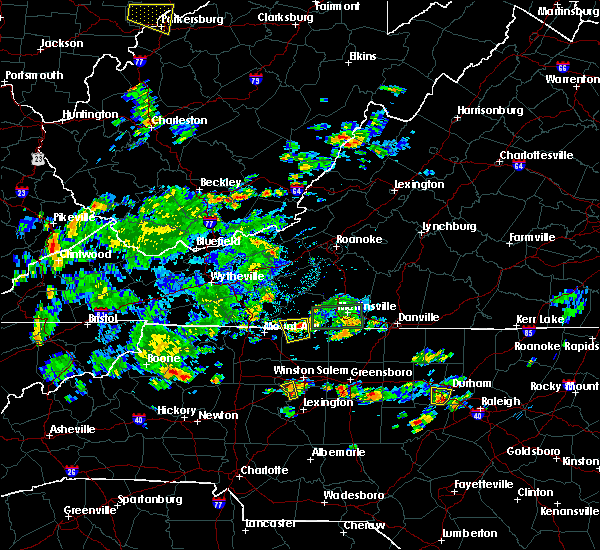 At 328 pm edt, a severe thunderstorm was located near collinstown, moving west at 10 mph (radar indicated). Hazards include 60 mph wind gusts and quarter size hail. Hail damage to vehicles is expected. expect wind damage to roofs, siding, and trees. Locations impacted include, francisco, collinstown, and patrick springs. At 328 pm edt, a severe thunderstorm was located near collinstown, moving west at 10 mph (radar indicated). Hazards include 60 mph wind gusts and quarter size hail. Hail damage to vehicles is expected. expect wind damage to roofs, siding, and trees. Locations impacted include, francisco, collinstown, and patrick springs.
|
| 5/21/2018 3:28 PM EDT |
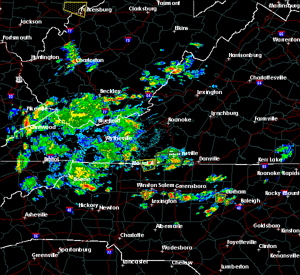 At 328 pm edt, a severe thunderstorm was located near collinstown, moving west at 10 mph (radar indicated). Hazards include 60 mph wind gusts and quarter size hail. Hail damage to vehicles is expected. expect wind damage to roofs, siding, and trees. Locations impacted include, francisco, collinstown, and patrick springs. At 328 pm edt, a severe thunderstorm was located near collinstown, moving west at 10 mph (radar indicated). Hazards include 60 mph wind gusts and quarter size hail. Hail damage to vehicles is expected. expect wind damage to roofs, siding, and trees. Locations impacted include, francisco, collinstown, and patrick springs.
|
| 5/21/2018 3:26 PM EDT |
Several trees down near intersection of route 8 and blackjack road. power outages in the are in patrick county VA, 4.8 miles N of Stuart, VA
|
| 5/21/2018 3:03 PM EDT |
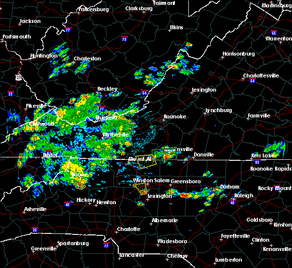 At 303 pm edt, a severe thunderstorm was located near sandy ridge, moving west at 10 mph (radar indicated). Hazards include 60 mph wind gusts and quarter size hail. Hail damage to vehicles is expected. Expect wind damage to roofs, siding, and trees. At 303 pm edt, a severe thunderstorm was located near sandy ridge, moving west at 10 mph (radar indicated). Hazards include 60 mph wind gusts and quarter size hail. Hail damage to vehicles is expected. Expect wind damage to roofs, siding, and trees.
|
| 5/21/2018 3:03 PM EDT |
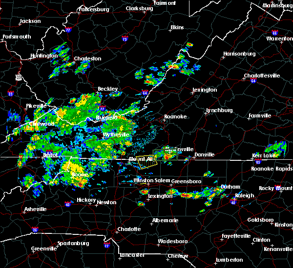 At 303 pm edt, a severe thunderstorm was located near sandy ridge, moving west at 10 mph (radar indicated). Hazards include 60 mph wind gusts and quarter size hail. Hail damage to vehicles is expected. Expect wind damage to roofs, siding, and trees. At 303 pm edt, a severe thunderstorm was located near sandy ridge, moving west at 10 mph (radar indicated). Hazards include 60 mph wind gusts and quarter size hail. Hail damage to vehicles is expected. Expect wind damage to roofs, siding, and trees.
|
| 5/11/2018 6:24 PM EDT |
 At 604 pm edt, a severe thunderstorm was located over ararat, moving east at 15 mph (radar indicated). Hazards include 60 mph wind gusts and quarter size hail. Hail damage to vehicles is expected. expect wind damage to roofs, siding, and trees. Locations impacted include, mount airy, flat rock, stuart, danbury, and ararat. At 604 pm edt, a severe thunderstorm was located over ararat, moving east at 15 mph (radar indicated). Hazards include 60 mph wind gusts and quarter size hail. Hail damage to vehicles is expected. expect wind damage to roofs, siding, and trees. Locations impacted include, mount airy, flat rock, stuart, danbury, and ararat.
|
| 5/11/2018 6:24 PM EDT |
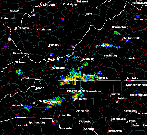 The severe thunderstorm warning for northeastern surry, northwestern stokes, southeastern carroll and western patrick counties will expire at 630 pm edt, the storm which prompted the warning has weakened below severe limits, and no longer poses an immediate threat to life or property. therefore the warning will be allowed to expire. however heavy rain is still possible with this thunderstorm. when it is safe to do so, please send your reports of hail of any size, as well as reports of any wind damage, including downed trees or large limbs, to the national weather service by calling toll free at 1, 8 6 6, 2 1 5, 4 3 2 4. reports and pictures can also be shared on the national weather service blacksburg facebook page and on twitter. The severe thunderstorm warning for northeastern surry, northwestern stokes, southeastern carroll and western patrick counties will expire at 630 pm edt, the storm which prompted the warning has weakened below severe limits, and no longer poses an immediate threat to life or property. therefore the warning will be allowed to expire. however heavy rain is still possible with this thunderstorm. when it is safe to do so, please send your reports of hail of any size, as well as reports of any wind damage, including downed trees or large limbs, to the national weather service by calling toll free at 1, 8 6 6, 2 1 5, 4 3 2 4. reports and pictures can also be shared on the national weather service blacksburg facebook page and on twitter.
|
| 5/11/2018 6:04 PM EDT |
 At 545 pm edt, a severe thunderstorm was located near ararat, moving east at 15 mph (radar indicated). Hazards include 60 mph wind gusts and quarter size hail. Hail damage to vehicles is expected. Expect wind damage to roofs, siding, and trees. At 545 pm edt, a severe thunderstorm was located near ararat, moving east at 15 mph (radar indicated). Hazards include 60 mph wind gusts and quarter size hail. Hail damage to vehicles is expected. Expect wind damage to roofs, siding, and trees.
|
| 5/11/2018 6:04 PM EDT |
 At 604 pm edt, a severe thunderstorm was located over ararat, moving east at 15 mph (radar indicated). Hazards include 60 mph wind gusts and quarter size hail. Hail damage to vehicles is expected. expect wind damage to roofs, siding, and trees. Locations impacted include, mount airy, flat rock, stuart, danbury, and ararat. At 604 pm edt, a severe thunderstorm was located over ararat, moving east at 15 mph (radar indicated). Hazards include 60 mph wind gusts and quarter size hail. Hail damage to vehicles is expected. expect wind damage to roofs, siding, and trees. Locations impacted include, mount airy, flat rock, stuart, danbury, and ararat.
|
|
|
| 5/11/2018 5:45 PM EDT |
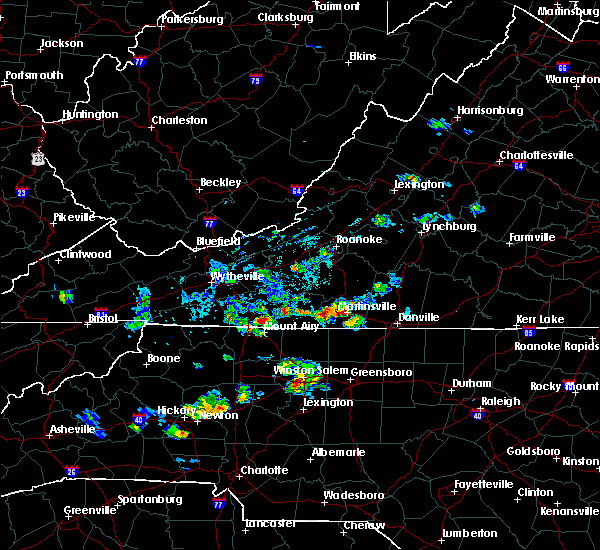 At 545 pm edt, a severe thunderstorm was located near ararat, moving east at 15 mph (radar indicated). Hazards include 60 mph wind gusts and quarter size hail. Hail damage to vehicles is expected. Expect wind damage to roofs, siding, and trees. At 545 pm edt, a severe thunderstorm was located near ararat, moving east at 15 mph (radar indicated). Hazards include 60 mph wind gusts and quarter size hail. Hail damage to vehicles is expected. Expect wind damage to roofs, siding, and trees.
|
| 5/11/2018 5:45 PM EDT |
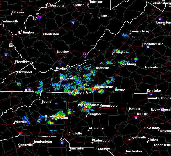 At 545 pm edt, a severe thunderstorm was located near ararat, moving east at 15 mph (radar indicated). Hazards include 60 mph wind gusts and quarter size hail. Hail damage to vehicles is expected. Expect wind damage to roofs, siding, and trees. At 545 pm edt, a severe thunderstorm was located near ararat, moving east at 15 mph (radar indicated). Hazards include 60 mph wind gusts and quarter size hail. Hail damage to vehicles is expected. Expect wind damage to roofs, siding, and trees.
|
| 5/10/2018 3:05 PM EDT |
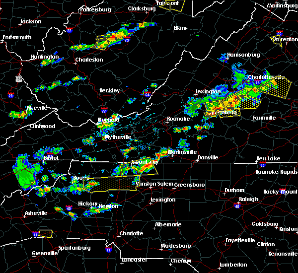 At 305 pm edt, a severe thunderstorm was located near francisco, moving east at 40 mph (radar indicated). Hazards include 60 mph wind gusts and quarter size hail. Hail damage to vehicles is expected. expect wind damage to roofs, siding, and trees. Locations impacted include, stuart, danbury, francisco, pinnacle, and collinstown. At 305 pm edt, a severe thunderstorm was located near francisco, moving east at 40 mph (radar indicated). Hazards include 60 mph wind gusts and quarter size hail. Hail damage to vehicles is expected. expect wind damage to roofs, siding, and trees. Locations impacted include, stuart, danbury, francisco, pinnacle, and collinstown.
|
| 5/10/2018 3:05 PM EDT |
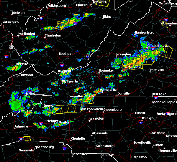 At 305 pm edt, a severe thunderstorm was located near francisco, moving east at 40 mph (radar indicated). Hazards include 60 mph wind gusts and quarter size hail. Hail damage to vehicles is expected. expect wind damage to roofs, siding, and trees. Locations impacted include, stuart, danbury, francisco, pinnacle, and collinstown. At 305 pm edt, a severe thunderstorm was located near francisco, moving east at 40 mph (radar indicated). Hazards include 60 mph wind gusts and quarter size hail. Hail damage to vehicles is expected. expect wind damage to roofs, siding, and trees. Locations impacted include, stuart, danbury, francisco, pinnacle, and collinstown.
|
| 5/10/2018 2:52 PM EDT |
Quarter sized hail reported 6.7 miles SSW of Stuart, VA
|
| 5/10/2018 2:50 PM EDT |
 At 250 pm edt, a severe thunderstorm was located over ararat, moving east at 40 mph (radar indicated). Hazards include 60 mph wind gusts and quarter size hail. Hail damage to vehicles is expected. expect wind damage to roofs, siding, and trees. Locations impacted include, mount airy, fairview, flat rock, dobson, and pilot mountain. At 250 pm edt, a severe thunderstorm was located over ararat, moving east at 40 mph (radar indicated). Hazards include 60 mph wind gusts and quarter size hail. Hail damage to vehicles is expected. expect wind damage to roofs, siding, and trees. Locations impacted include, mount airy, fairview, flat rock, dobson, and pilot mountain.
|
| 5/10/2018 2:50 PM EDT |
 At 250 pm edt, a severe thunderstorm was located over ararat, moving east at 40 mph (radar indicated). Hazards include 60 mph wind gusts and quarter size hail. Hail damage to vehicles is expected. expect wind damage to roofs, siding, and trees. Locations impacted include, mount airy, fairview, flat rock, dobson, and pilot mountain. At 250 pm edt, a severe thunderstorm was located over ararat, moving east at 40 mph (radar indicated). Hazards include 60 mph wind gusts and quarter size hail. Hail damage to vehicles is expected. expect wind damage to roofs, siding, and trees. Locations impacted include, mount airy, fairview, flat rock, dobson, and pilot mountain.
|
| 5/10/2018 2:35 PM EDT |
 At 234 pm edt, a severe thunderstorm was located over dobson, moving east at 40 mph (radar indicated). Hazards include 60 mph wind gusts and quarter size hail. Hail damage to vehicles is expected. Expect wind damage to roofs, siding, and trees. At 234 pm edt, a severe thunderstorm was located over dobson, moving east at 40 mph (radar indicated). Hazards include 60 mph wind gusts and quarter size hail. Hail damage to vehicles is expected. Expect wind damage to roofs, siding, and trees.
|
| 5/10/2018 2:35 PM EDT |
 At 234 pm edt, a severe thunderstorm was located over dobson, moving east at 40 mph (radar indicated). Hazards include 60 mph wind gusts and quarter size hail. Hail damage to vehicles is expected. Expect wind damage to roofs, siding, and trees. At 234 pm edt, a severe thunderstorm was located over dobson, moving east at 40 mph (radar indicated). Hazards include 60 mph wind gusts and quarter size hail. Hail damage to vehicles is expected. Expect wind damage to roofs, siding, and trees.
|
| 4/15/2018 4:57 PM EDT |
 At 456 pm edt, severe thunderstorms were located along a line extending from near stuart to dillard, moving northeast at 55 mph (radar indicated). Hazards include 60 mph wind gusts and quarter size hail. Hail damage to vehicles is expected. expect wind damage to roofs, siding, and trees. locations impacted include, martinsville, mayodan, madison, stuart, and danbury. this includes the following location martinsville airport. a tornado watch remains in effect until 700 pm edt for northwestern north carolina, and southwestern virginia. A tornado watch also remains in effect until 1100 pm edt for north central north carolina, and south central, southwestern and west central virginia. At 456 pm edt, severe thunderstorms were located along a line extending from near stuart to dillard, moving northeast at 55 mph (radar indicated). Hazards include 60 mph wind gusts and quarter size hail. Hail damage to vehicles is expected. expect wind damage to roofs, siding, and trees. locations impacted include, martinsville, mayodan, madison, stuart, and danbury. this includes the following location martinsville airport. a tornado watch remains in effect until 700 pm edt for northwestern north carolina, and southwestern virginia. A tornado watch also remains in effect until 1100 pm edt for north central north carolina, and south central, southwestern and west central virginia.
|
| 4/15/2018 4:57 PM EDT |
 At 456 pm edt, severe thunderstorms were located along a line extending from near stuart to dillard, moving northeast at 55 mph (radar indicated). Hazards include 60 mph wind gusts and quarter size hail. Hail damage to vehicles is expected. expect wind damage to roofs, siding, and trees. locations impacted include, martinsville, mayodan, madison, stuart, and danbury. this includes the following location martinsville airport. a tornado watch remains in effect until 700 pm edt for northwestern north carolina, and southwestern virginia. A tornado watch also remains in effect until 1100 pm edt for north central north carolina, and south central, southwestern and west central virginia. At 456 pm edt, severe thunderstorms were located along a line extending from near stuart to dillard, moving northeast at 55 mph (radar indicated). Hazards include 60 mph wind gusts and quarter size hail. Hail damage to vehicles is expected. expect wind damage to roofs, siding, and trees. locations impacted include, martinsville, mayodan, madison, stuart, and danbury. this includes the following location martinsville airport. a tornado watch remains in effect until 700 pm edt for northwestern north carolina, and southwestern virginia. A tornado watch also remains in effect until 1100 pm edt for north central north carolina, and south central, southwestern and west central virginia.
|
| 4/15/2018 4:39 PM EDT |
 At 438 pm edt, severe thunderstorms were located along a line extending from near westfield to germanton, moving northeast at 55 mph (radar indicated). Hazards include 60 mph wind gusts and quarter size hail. Hail damage to vehicles is expected. expect wind damage to roofs, siding, and trees. locations impacted include, martinsville, mayodan, madison, pilot mountain, and walnut cove. this includes the following location martinsville airport. a tornado watch remains in effect until 700 pm edt for northwestern north carolina, and southwestern virginia. A tornado watch also remains in effect until 1100 pm edt for north central north carolina, and south central, southwestern and west central virginia. At 438 pm edt, severe thunderstorms were located along a line extending from near westfield to germanton, moving northeast at 55 mph (radar indicated). Hazards include 60 mph wind gusts and quarter size hail. Hail damage to vehicles is expected. expect wind damage to roofs, siding, and trees. locations impacted include, martinsville, mayodan, madison, pilot mountain, and walnut cove. this includes the following location martinsville airport. a tornado watch remains in effect until 700 pm edt for northwestern north carolina, and southwestern virginia. A tornado watch also remains in effect until 1100 pm edt for north central north carolina, and south central, southwestern and west central virginia.
|
| 4/15/2018 4:39 PM EDT |
 A severe thunderstorm warning remains in effect until 515 pm edt for eastern surry. stokes. northwestern rockingham. western henry and patrick counties and the city of martinsville. At 438 pm edt, severe thunderstorms were located along a line extending from near westfield to germanton, moving northeast at 55. A severe thunderstorm warning remains in effect until 515 pm edt for eastern surry. stokes. northwestern rockingham. western henry and patrick counties and the city of martinsville. At 438 pm edt, severe thunderstorms were located along a line extending from near westfield to germanton, moving northeast at 55.
|
| 4/15/2018 4:15 PM EDT |
Quarter sized hail reported 9.1 miles S of Stuart, VA, quarter sized hail near woolwine.
|
| 4/15/2018 4:08 PM EDT |
 At 407 pm edt, a severe thunderstorm was located near mocksville, moving northeast at 65 mph (radar indicated). Hazards include 60 mph wind gusts and quarter size hail. Hail damage to vehicles is expected. Expect wind damage to roofs, siding, and trees. At 407 pm edt, a severe thunderstorm was located near mocksville, moving northeast at 65 mph (radar indicated). Hazards include 60 mph wind gusts and quarter size hail. Hail damage to vehicles is expected. Expect wind damage to roofs, siding, and trees.
|
| 4/15/2018 4:08 PM EDT |
 At 407 pm edt, a severe thunderstorm was located near mocksville, moving northeast at 65 mph (radar indicated). Hazards include 60 mph wind gusts and quarter size hail. Hail damage to vehicles is expected. Expect wind damage to roofs, siding, and trees. At 407 pm edt, a severe thunderstorm was located near mocksville, moving northeast at 65 mph (radar indicated). Hazards include 60 mph wind gusts and quarter size hail. Hail damage to vehicles is expected. Expect wind damage to roofs, siding, and trees.
|
| 4/15/2018 3:33 PM EDT |
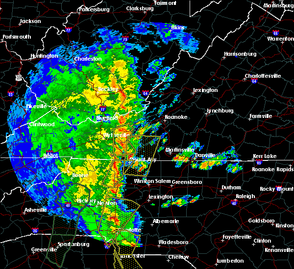 At 333 pm edt, a severe thunderstorm was located near francisco, moving north at 50 mph (radar indicated). Hazards include 60 mph wind gusts and quarter size hail. Hail damage to vehicles is expected. Expect wind damage to roofs, siding, and trees. At 333 pm edt, a severe thunderstorm was located near francisco, moving north at 50 mph (radar indicated). Hazards include 60 mph wind gusts and quarter size hail. Hail damage to vehicles is expected. Expect wind damage to roofs, siding, and trees.
|
| 4/15/2018 3:33 PM EDT |
 At 333 pm edt, a severe thunderstorm was located near francisco, moving north at 50 mph (radar indicated). Hazards include 60 mph wind gusts and quarter size hail. Hail damage to vehicles is expected. Expect wind damage to roofs, siding, and trees. At 333 pm edt, a severe thunderstorm was located near francisco, moving north at 50 mph (radar indicated). Hazards include 60 mph wind gusts and quarter size hail. Hail damage to vehicles is expected. Expect wind damage to roofs, siding, and trees.
|
| 10/23/2017 6:43 PM EDT |
 The severe thunderstorm warning for northeastern surry, stokes, east central carroll and patrick counties will expire at 645 pm edt, the storms which prompted the warning have weakened below severe limits, and have exited the warned area. therefore the warning will be allowed to expire. a tornado watch remains in effect until 900 pm edt for north central and northwestern north carolina. a tornado watch also remains in effect until 200 am edt for south central, southwestern and west central virginia. when it is safe to do so, please send your reports of hail of any size, as well as reports of any wind damage, including downed trees or large limbs, to the national weather service by calling toll free at 1, 8 6 6, 2 1 5, 4 3 2 4. reports and pictures can also be shared on the national weather service blacksburg facebook page and on twitter. The severe thunderstorm warning for northeastern surry, stokes, east central carroll and patrick counties will expire at 645 pm edt, the storms which prompted the warning have weakened below severe limits, and have exited the warned area. therefore the warning will be allowed to expire. a tornado watch remains in effect until 900 pm edt for north central and northwestern north carolina. a tornado watch also remains in effect until 200 am edt for south central, southwestern and west central virginia. when it is safe to do so, please send your reports of hail of any size, as well as reports of any wind damage, including downed trees or large limbs, to the national weather service by calling toll free at 1, 8 6 6, 2 1 5, 4 3 2 4. reports and pictures can also be shared on the national weather service blacksburg facebook page and on twitter.
|
| 10/23/2017 6:43 PM EDT |
 The severe thunderstorm warning for northeastern surry, stokes, east central carroll and patrick counties will expire at 645 pm edt, the storms which prompted the warning have weakened below severe limits, and have exited the warned area. therefore the warning will be allowed to expire. a tornado watch remains in effect until 900 pm edt for north central and northwestern north carolina. a tornado watch also remains in effect until 200 am edt for south central, southwestern and west central virginia. when it is safe to do so, please send your reports of hail of any size, as well as reports of any wind damage, including downed trees or large limbs, to the national weather service by calling toll free at 1, 8 6 6, 2 1 5, 4 3 2 4. reports and pictures can also be shared on the national weather service blacksburg facebook page and on twitter. The severe thunderstorm warning for northeastern surry, stokes, east central carroll and patrick counties will expire at 645 pm edt, the storms which prompted the warning have weakened below severe limits, and have exited the warned area. therefore the warning will be allowed to expire. a tornado watch remains in effect until 900 pm edt for north central and northwestern north carolina. a tornado watch also remains in effect until 200 am edt for south central, southwestern and west central virginia. when it is safe to do so, please send your reports of hail of any size, as well as reports of any wind damage, including downed trees or large limbs, to the national weather service by calling toll free at 1, 8 6 6, 2 1 5, 4 3 2 4. reports and pictures can also be shared on the national weather service blacksburg facebook page and on twitter.
|
| 10/23/2017 6:31 PM EDT |
 At 629 pm edt, severe thunderstorms were located along a line extending from laurel fork to walnut cove, moving northeast at 25 mph (radar indicated). Hazards include 60 mph wind gusts and quarter size hail. Hail damage to vehicles is expected. expect wind damage to roofs, siding, and trees. locations impacted include, pilot mountain, walnut cove, stuart, danbury, and francisco. a tornado watch remains in effect until 900 pm edt for north central and northwestern north carolina. A tornado watch also remains in effect until 200 am edt for south central, southwestern and west central virginia. At 629 pm edt, severe thunderstorms were located along a line extending from laurel fork to walnut cove, moving northeast at 25 mph (radar indicated). Hazards include 60 mph wind gusts and quarter size hail. Hail damage to vehicles is expected. expect wind damage to roofs, siding, and trees. locations impacted include, pilot mountain, walnut cove, stuart, danbury, and francisco. a tornado watch remains in effect until 900 pm edt for north central and northwestern north carolina. A tornado watch also remains in effect until 200 am edt for south central, southwestern and west central virginia.
|
| 10/23/2017 6:31 PM EDT |
 At 629 pm edt, severe thunderstorms were located along a line extending from laurel fork to walnut cove, moving northeast at 25 mph (radar indicated). Hazards include 60 mph wind gusts and quarter size hail. Hail damage to vehicles is expected. expect wind damage to roofs, siding, and trees. locations impacted include, pilot mountain, walnut cove, stuart, danbury, and francisco. a tornado watch remains in effect until 900 pm edt for north central and northwestern north carolina. A tornado watch also remains in effect until 200 am edt for south central, southwestern and west central virginia. At 629 pm edt, severe thunderstorms were located along a line extending from laurel fork to walnut cove, moving northeast at 25 mph (radar indicated). Hazards include 60 mph wind gusts and quarter size hail. Hail damage to vehicles is expected. expect wind damage to roofs, siding, and trees. locations impacted include, pilot mountain, walnut cove, stuart, danbury, and francisco. a tornado watch remains in effect until 900 pm edt for north central and northwestern north carolina. A tornado watch also remains in effect until 200 am edt for south central, southwestern and west central virginia.
|
| 10/23/2017 5:47 PM EDT |
 At 547 pm edt, severe thunderstorms were located along a line extending from near lambsburg to near enon, moving northeast at 25 mph (radar indicated). Hazards include 60 mph wind gusts and quarter size hail. Hail damage to vehicles is expected. Expect wind damage to roofs, siding, and trees. At 547 pm edt, severe thunderstorms were located along a line extending from near lambsburg to near enon, moving northeast at 25 mph (radar indicated). Hazards include 60 mph wind gusts and quarter size hail. Hail damage to vehicles is expected. Expect wind damage to roofs, siding, and trees.
|
| 10/23/2017 5:47 PM EDT |
 At 547 pm edt, severe thunderstorms were located along a line extending from near lambsburg to near enon, moving northeast at 25 mph (radar indicated). Hazards include 60 mph wind gusts and quarter size hail. Hail damage to vehicles is expected. Expect wind damage to roofs, siding, and trees. At 547 pm edt, severe thunderstorms were located along a line extending from near lambsburg to near enon, moving northeast at 25 mph (radar indicated). Hazards include 60 mph wind gusts and quarter size hail. Hail damage to vehicles is expected. Expect wind damage to roofs, siding, and trees.
|
| 7/18/2017 3:05 PM EDT |
 The severe thunderstorm warning for northwestern henry and eastern patrick counties will expire at 315 pm edt, the storm which prompted the warning has weakened below severe limits, and has exited the warned area. therefore, the warning will be allowed to expire. when it is safe to do so, please send your reports of hail of any size, as well as reports of any wind damage, including downed trees or large limbs, to the national weather service by calling toll free at 1, 8 6 6, 2 1 5, 4 3 2 4. reports and pictures can also be shared on the national weather service blacksburg facebook page and on twitter. The severe thunderstorm warning for northwestern henry and eastern patrick counties will expire at 315 pm edt, the storm which prompted the warning has weakened below severe limits, and has exited the warned area. therefore, the warning will be allowed to expire. when it is safe to do so, please send your reports of hail of any size, as well as reports of any wind damage, including downed trees or large limbs, to the national weather service by calling toll free at 1, 8 6 6, 2 1 5, 4 3 2 4. reports and pictures can also be shared on the national weather service blacksburg facebook page and on twitter.
|
|
|
| 7/18/2017 2:40 PM EDT |
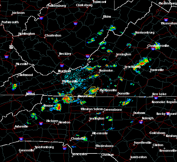 At 239 pm edt, a severe thunderstorm was located near critz, moving southwest at 15 mph (radar indicated). Hazards include 60 mph wind gusts and quarter size hail. Hail damage to vehicles is expected. expect wind damage to roofs, siding, and trees. Locations impacted include, stuart, sanville, penns store, fairy stone state park, and critz. At 239 pm edt, a severe thunderstorm was located near critz, moving southwest at 15 mph (radar indicated). Hazards include 60 mph wind gusts and quarter size hail. Hail damage to vehicles is expected. expect wind damage to roofs, siding, and trees. Locations impacted include, stuart, sanville, penns store, fairy stone state park, and critz.
|
| 7/18/2017 2:28 PM EDT |
 At 227 pm edt, a severe thunderstorm was located near sanville, moving south at 10 mph (radar indicated). Hazards include 60 mph wind gusts and quarter size hail. Hail damage to vehicles is expected. expect wind damage to roofs, siding, and trees. Locations impacted include, stuart, woolwine, sanville, penns store, and fairy stone state park. At 227 pm edt, a severe thunderstorm was located near sanville, moving south at 10 mph (radar indicated). Hazards include 60 mph wind gusts and quarter size hail. Hail damage to vehicles is expected. expect wind damage to roofs, siding, and trees. Locations impacted include, stuart, woolwine, sanville, penns store, and fairy stone state park.
|
| 7/18/2017 2:13 PM EDT |
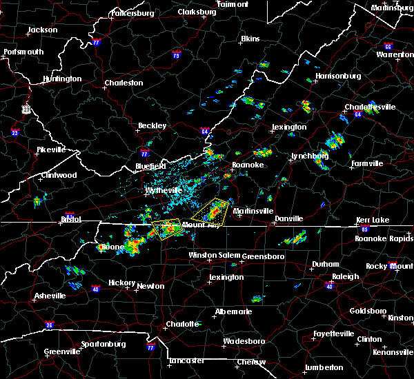 At 212 pm edt, a severe thunderstorm was located near charity, moving southwest at 15 mph (radar indicated). Hazards include 60 mph wind gusts and quarter size hail. Hail damage to vehicles is expected. Expect wind damage to roofs, siding, and trees. At 212 pm edt, a severe thunderstorm was located near charity, moving southwest at 15 mph (radar indicated). Hazards include 60 mph wind gusts and quarter size hail. Hail damage to vehicles is expected. Expect wind damage to roofs, siding, and trees.
|
| 7/14/2017 1:17 PM EDT |
 At 117 pm edt, severe thunderstorms were located along a line extending from figsboro to spencer to near patrick springs, moving southeast at 15 mph (radar indicated). Hazards include 60 mph wind gusts and quarter size hail. Hail damage to vehicles is expected. expect wind damage to roofs, siding, and trees. Locations impacted include, martinsville, spencer, axton, snow creek, and leatherwood. At 117 pm edt, severe thunderstorms were located along a line extending from figsboro to spencer to near patrick springs, moving southeast at 15 mph (radar indicated). Hazards include 60 mph wind gusts and quarter size hail. Hail damage to vehicles is expected. expect wind damage to roofs, siding, and trees. Locations impacted include, martinsville, spencer, axton, snow creek, and leatherwood.
|
| 7/14/2017 12:53 PM EDT |
 At 1253 pm edt, severe thunderstorms were located along a line extending from oak level through sanville to stuart, moving southeast at 15 mph (radar indicated). Hazards include 60 mph wind gusts and quarter size hail. Hail damage to vehicles is expected. Expect wind damage to roofs, siding, and trees. At 1253 pm edt, severe thunderstorms were located along a line extending from oak level through sanville to stuart, moving southeast at 15 mph (radar indicated). Hazards include 60 mph wind gusts and quarter size hail. Hail damage to vehicles is expected. Expect wind damage to roofs, siding, and trees.
|
| 5/24/2017 5:51 PM EDT |
One tree down on heidelbach school road in patrick county VA, 13.6 miles SSW of Stuart, VA
|
| 5/24/2017 5:34 PM EDT |
 At 533 pm edt, a severe thunderstorm capable of producing a tornado was located near collinstown, moving northeast at 25 mph (radar indicated rotation). Hazards include tornado and quarter size hail. Flying debris will be dangerous to those caught without shelter. mobile homes will be damaged or destroyed. damage to roofs, windows, and vehicles will occur. Tree damage is likely. At 533 pm edt, a severe thunderstorm capable of producing a tornado was located near collinstown, moving northeast at 25 mph (radar indicated rotation). Hazards include tornado and quarter size hail. Flying debris will be dangerous to those caught without shelter. mobile homes will be damaged or destroyed. damage to roofs, windows, and vehicles will occur. Tree damage is likely.
|
| 5/19/2017 2:23 PM EDT |
 At 223 pm edt, a severe thunderstorm was located over critz, moving east at 20 mph (radar indicated). Hazards include 60 mph wind gusts and quarter size hail. Minor damage to vehicles is possible. expect wind damage to trees and power lines. Locations impacted include, martinsville, stuart, spencer, axton, and ararat. At 223 pm edt, a severe thunderstorm was located over critz, moving east at 20 mph (radar indicated). Hazards include 60 mph wind gusts and quarter size hail. Minor damage to vehicles is possible. expect wind damage to trees and power lines. Locations impacted include, martinsville, stuart, spencer, axton, and ararat.
|
| 5/19/2017 2:05 PM EDT |
 At 204 pm edt, a severe thunderstorm was located over patrick springs, moving east at 25 mph. this warning replaces severe thunderstorm warnings 60 and 62 (radar indicated). Hazards include 60 mph wind gusts and quarter size hail. Minor damage to vehicles is possible. Expect wind damage to trees and power lines. At 204 pm edt, a severe thunderstorm was located over patrick springs, moving east at 25 mph. this warning replaces severe thunderstorm warnings 60 and 62 (radar indicated). Hazards include 60 mph wind gusts and quarter size hail. Minor damage to vehicles is possible. Expect wind damage to trees and power lines.
|
| 5/19/2017 1:32 PM EDT |
 At 132 pm edt, a severe thunderstorm was located over ararat, moving southeast at 15 mph (radar indicated). Hazards include 60 mph wind gusts and quarter size hail. Minor damage to vehicles is possible. expect wind damage to trees and power lines. Locations impacted include, stuart, ararat, laurel fork, meadows of dan, and buffalo ridge. At 132 pm edt, a severe thunderstorm was located over ararat, moving southeast at 15 mph (radar indicated). Hazards include 60 mph wind gusts and quarter size hail. Minor damage to vehicles is possible. expect wind damage to trees and power lines. Locations impacted include, stuart, ararat, laurel fork, meadows of dan, and buffalo ridge.
|
| 5/19/2017 1:20 PM EDT |
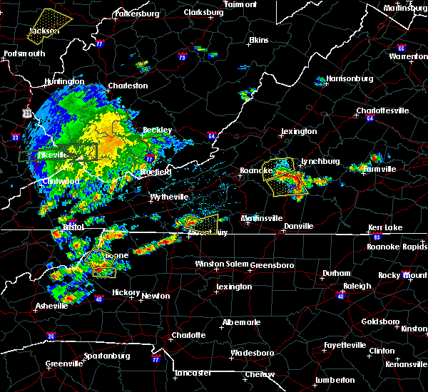 At 120 pm edt, a severe thunderstorm was located over laurel fork, moving east at 15 mph (radar indicated). Hazards include 60 mph wind gusts and quarter size hail. Minor damage to vehicles is possible. Expect wind damage to trees and power lines. At 120 pm edt, a severe thunderstorm was located over laurel fork, moving east at 15 mph (radar indicated). Hazards include 60 mph wind gusts and quarter size hail. Minor damage to vehicles is possible. Expect wind damage to trees and power lines.
|
| 5/18/2017 7:38 PM EDT |
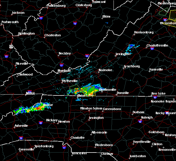 The severe thunderstorm warning for patrick county will expire at 745 pm edt, the storms which prompted the warning has weakened below severe limits, and no longer poses an immediate threat to life or property. therefore the warning will be allowed to expire. however gusty winds and heavy rain are still possible with these thunderstorms. when it is safe to do so, please send your reports of hail of any size, as well as reports of any wind damage, including downed trees or large limbs, to the national weather service by calling toll free at 1, 8 6 6, 2 1 5, 4 3 2 4. reports and pictures can also be shared on the national weather service blacksburg facebook page and on twitter. The severe thunderstorm warning for patrick county will expire at 745 pm edt, the storms which prompted the warning has weakened below severe limits, and no longer poses an immediate threat to life or property. therefore the warning will be allowed to expire. however gusty winds and heavy rain are still possible with these thunderstorms. when it is safe to do so, please send your reports of hail of any size, as well as reports of any wind damage, including downed trees or large limbs, to the national weather service by calling toll free at 1, 8 6 6, 2 1 5, 4 3 2 4. reports and pictures can also be shared on the national weather service blacksburg facebook page and on twitter.
|
| 5/18/2017 7:14 PM EDT |
 At 712 pm edt, severe thunderstorms were located along a line extending from near fairy stone state park to near stuart, moving east at 15 mph (radar indicated). Hazards include 60 mph wind gusts and quarter size hail. Minor damage to vehicles is possible. expect wind damage to trees and power lines. Locations impacted include, stuart, woolwine, penns store, critz, and meadows of dan. At 712 pm edt, severe thunderstorms were located along a line extending from near fairy stone state park to near stuart, moving east at 15 mph (radar indicated). Hazards include 60 mph wind gusts and quarter size hail. Minor damage to vehicles is possible. expect wind damage to trees and power lines. Locations impacted include, stuart, woolwine, penns store, critz, and meadows of dan.
|
| 5/18/2017 6:52 PM EDT |
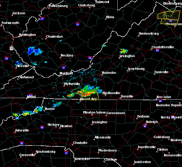 At 652 pm edt, severe thunderstorms were located along a line extending from near charity to near ararat, moving east at 15 mph (radar indicated). Hazards include 60 mph wind gusts and quarter size hail. Minor damage to vehicles is possible. Expect wind damage to trees and power lines. At 652 pm edt, severe thunderstorms were located along a line extending from near charity to near ararat, moving east at 15 mph (radar indicated). Hazards include 60 mph wind gusts and quarter size hail. Minor damage to vehicles is possible. Expect wind damage to trees and power lines.
|
| 5/11/2017 8:06 PM EDT |
 The severe thunderstorm warning for stokes and southeastern patrick counties will expire at 815 pm edt, the storm which prompted the warning has moved out of the area. therefore the warning will be allowed to expire. when it is safe to do so, please send your reports of hail of any size, as well as reports of any wind damage, including downed trees or large limbs, to the national weather service by calling toll free at 1, 8 6 6, 2 1 5, 4 3 2 4. reports and pictures can also be shared on the national weather service blacksburg facebook page and on twitter. The severe thunderstorm warning for stokes and southeastern patrick counties will expire at 815 pm edt, the storm which prompted the warning has moved out of the area. therefore the warning will be allowed to expire. when it is safe to do so, please send your reports of hail of any size, as well as reports of any wind damage, including downed trees or large limbs, to the national weather service by calling toll free at 1, 8 6 6, 2 1 5, 4 3 2 4. reports and pictures can also be shared on the national weather service blacksburg facebook page and on twitter.
|
| 5/11/2017 8:06 PM EDT |
 The severe thunderstorm warning for stokes and southeastern patrick counties will expire at 815 pm edt, the storm which prompted the warning has moved out of the area. therefore the warning will be allowed to expire. when it is safe to do so, please send your reports of hail of any size, as well as reports of any wind damage, including downed trees or large limbs, to the national weather service by calling toll free at 1, 8 6 6, 2 1 5, 4 3 2 4. reports and pictures can also be shared on the national weather service blacksburg facebook page and on twitter. The severe thunderstorm warning for stokes and southeastern patrick counties will expire at 815 pm edt, the storm which prompted the warning has moved out of the area. therefore the warning will be allowed to expire. when it is safe to do so, please send your reports of hail of any size, as well as reports of any wind damage, including downed trees or large limbs, to the national weather service by calling toll free at 1, 8 6 6, 2 1 5, 4 3 2 4. reports and pictures can also be shared on the national weather service blacksburg facebook page and on twitter.
|
| 5/11/2017 7:29 PM EDT |
Tree down on horace lane... route 776. time estimated from rada in patrick county VA, 3.4 miles NW of Stuart, VA
|
| 5/11/2017 7:24 PM EDT |
 At 723 pm edt, a severe thunderstorm was located over stuart, moving south at 15 mph (radar indicated). Hazards include 60 mph wind gusts and quarter size hail. Minor damage to vehicles is possible. expect wind damage to trees and power lines. Locations impacted include, walnut cove, stuart, danbury, francisco, and king. At 723 pm edt, a severe thunderstorm was located over stuart, moving south at 15 mph (radar indicated). Hazards include 60 mph wind gusts and quarter size hail. Minor damage to vehicles is possible. expect wind damage to trees and power lines. Locations impacted include, walnut cove, stuart, danbury, francisco, and king.
|
| 5/11/2017 7:24 PM EDT |
 At 723 pm edt, a severe thunderstorm was located over stuart, moving south at 15 mph (radar indicated). Hazards include 60 mph wind gusts and quarter size hail. Minor damage to vehicles is possible. expect wind damage to trees and power lines. Locations impacted include, walnut cove, stuart, danbury, francisco, and king. At 723 pm edt, a severe thunderstorm was located over stuart, moving south at 15 mph (radar indicated). Hazards include 60 mph wind gusts and quarter size hail. Minor damage to vehicles is possible. expect wind damage to trees and power lines. Locations impacted include, walnut cove, stuart, danbury, francisco, and king.
|
| 5/11/2017 7:21 PM EDT |
Power line down on staples ave in stuart. time estimated from rada in patrick county VA, 0.8 miles E of Stuart, VA
|
| 5/11/2017 7:18 PM EDT |
 At 718 pm edt, a severe thunderstorm was located over stuart, moving south at 15 mph (radar indicated). Hazards include 60 mph wind gusts and quarter size hail. Minor damage to vehicles is possible. Expect wind damage to trees and power lines. At 718 pm edt, a severe thunderstorm was located over stuart, moving south at 15 mph (radar indicated). Hazards include 60 mph wind gusts and quarter size hail. Minor damage to vehicles is possible. Expect wind damage to trees and power lines.
|
| 5/11/2017 7:18 PM EDT |
 At 718 pm edt, a severe thunderstorm was located over stuart, moving south at 15 mph (radar indicated). Hazards include 60 mph wind gusts and quarter size hail. Minor damage to vehicles is possible. Expect wind damage to trees and power lines. At 718 pm edt, a severe thunderstorm was located over stuart, moving south at 15 mph (radar indicated). Hazards include 60 mph wind gusts and quarter size hail. Minor damage to vehicles is possible. Expect wind damage to trees and power lines.
|
| 3/27/2017 7:23 PM EDT |
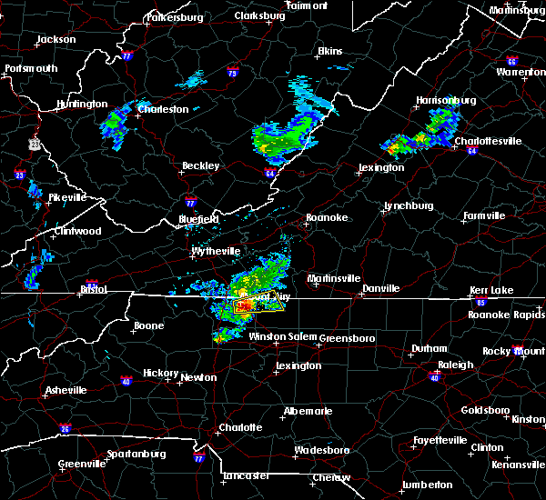 At 723 pm edt, a severe thunderstorm was located over westfield, moving east at 30 mph (radar indicated). Hazards include 60 mph wind gusts and quarter size hail. Hail damage to vehicles is expected. expect wind damage to roofs, siding, and trees. Locations impacted include, francisco, woodville, collinstown, westfield, and vade mecum. At 723 pm edt, a severe thunderstorm was located over westfield, moving east at 30 mph (radar indicated). Hazards include 60 mph wind gusts and quarter size hail. Hail damage to vehicles is expected. expect wind damage to roofs, siding, and trees. Locations impacted include, francisco, woodville, collinstown, westfield, and vade mecum.
|
| 3/27/2017 7:23 PM EDT |
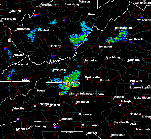 At 723 pm edt, a severe thunderstorm was located over westfield, moving east at 30 mph (radar indicated). Hazards include 60 mph wind gusts and quarter size hail. Hail damage to vehicles is expected. expect wind damage to roofs, siding, and trees. Locations impacted include, francisco, woodville, collinstown, westfield, and vade mecum. At 723 pm edt, a severe thunderstorm was located over westfield, moving east at 30 mph (radar indicated). Hazards include 60 mph wind gusts and quarter size hail. Hail damage to vehicles is expected. expect wind damage to roofs, siding, and trees. Locations impacted include, francisco, woodville, collinstown, westfield, and vade mecum.
|
| 3/27/2017 7:09 PM EDT |
 At 709 pm edt, a severe thunderstorm was located over white plains, moving east at 30 mph (radar indicated). Hazards include golf ball size hail and 60 mph wind gusts. People and animals outdoors will be injured. expect hail damage to roofs, siding, windows, and vehicles. Expect wind damage to roofs, siding, and trees. At 709 pm edt, a severe thunderstorm was located over white plains, moving east at 30 mph (radar indicated). Hazards include golf ball size hail and 60 mph wind gusts. People and animals outdoors will be injured. expect hail damage to roofs, siding, windows, and vehicles. Expect wind damage to roofs, siding, and trees.
|
|
|
| 3/27/2017 7:09 PM EDT |
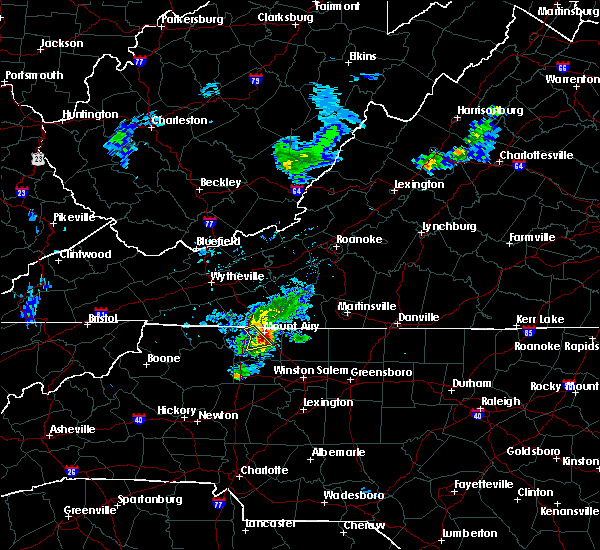 At 709 pm edt, a severe thunderstorm was located over white plains, moving east at 30 mph (radar indicated). Hazards include golf ball size hail and 60 mph wind gusts. People and animals outdoors will be injured. expect hail damage to roofs, siding, windows, and vehicles. Expect wind damage to roofs, siding, and trees. At 709 pm edt, a severe thunderstorm was located over white plains, moving east at 30 mph (radar indicated). Hazards include golf ball size hail and 60 mph wind gusts. People and animals outdoors will be injured. expect hail damage to roofs, siding, windows, and vehicles. Expect wind damage to roofs, siding, and trees.
|
| 9/30/2016 7:35 AM EDT |
 At 735 am edt, a severe thunderstorm was located near patrick springs, moving north at 25 mph (radar indicated). Hazards include golf ball size hail and 60 mph wind gusts. People and animals outdoors will be injured. expect hail damage to roofs, siding, windows, and vehicles. expect wind damage to roofs, siding, and trees. Locations impacted include, stuart, woolwine, spencer, bassett, and rocky knob recreation area. At 735 am edt, a severe thunderstorm was located near patrick springs, moving north at 25 mph (radar indicated). Hazards include golf ball size hail and 60 mph wind gusts. People and animals outdoors will be injured. expect hail damage to roofs, siding, windows, and vehicles. expect wind damage to roofs, siding, and trees. Locations impacted include, stuart, woolwine, spencer, bassett, and rocky knob recreation area.
|
| 9/30/2016 7:28 AM EDT |
 At 728 am edt, a severe thunderstorm was located over patrick springs, moving north at 25 mph (radar indicated). Hazards include golf ball size hail and 60 mph wind gusts. People and animals outdoors will be injured. expect hail damage to roofs, siding, windows, and vehicles. expect wind damage to roofs, siding, and trees. Locations impacted include, stuart, danbury, sandy ridge, woolwine, and spencer. At 728 am edt, a severe thunderstorm was located over patrick springs, moving north at 25 mph (radar indicated). Hazards include golf ball size hail and 60 mph wind gusts. People and animals outdoors will be injured. expect hail damage to roofs, siding, windows, and vehicles. expect wind damage to roofs, siding, and trees. Locations impacted include, stuart, danbury, sandy ridge, woolwine, and spencer.
|
| 9/30/2016 7:28 AM EDT |
 At 728 am edt, a severe thunderstorm was located over patrick springs, moving north at 25 mph (radar indicated). Hazards include golf ball size hail and 60 mph wind gusts. People and animals outdoors will be injured. expect hail damage to roofs, siding, windows, and vehicles. expect wind damage to roofs, siding, and trees. Locations impacted include, stuart, danbury, sandy ridge, woolwine, and spencer. At 728 am edt, a severe thunderstorm was located over patrick springs, moving north at 25 mph (radar indicated). Hazards include golf ball size hail and 60 mph wind gusts. People and animals outdoors will be injured. expect hail damage to roofs, siding, windows, and vehicles. expect wind damage to roofs, siding, and trees. Locations impacted include, stuart, danbury, sandy ridge, woolwine, and spencer.
|
| 9/30/2016 7:10 AM EDT |
 At 657 am edt, a severe thunderstorm was located near danbury, moving north at 25 mph (radar indicated). Hazards include 60 mph wind gusts and quarter size hail. Hail damage to vehicles is expected. Expect wind damage to roofs, siding, and trees. At 657 am edt, a severe thunderstorm was located near danbury, moving north at 25 mph (radar indicated). Hazards include 60 mph wind gusts and quarter size hail. Hail damage to vehicles is expected. Expect wind damage to roofs, siding, and trees.
|
| 9/30/2016 7:10 AM EDT |
 At 657 am edt, a severe thunderstorm was located near danbury, moving north at 25 mph (radar indicated). Hazards include 60 mph wind gusts and quarter size hail. Hail damage to vehicles is expected. Expect wind damage to roofs, siding, and trees. At 657 am edt, a severe thunderstorm was located near danbury, moving north at 25 mph (radar indicated). Hazards include 60 mph wind gusts and quarter size hail. Hail damage to vehicles is expected. Expect wind damage to roofs, siding, and trees.
|
| 9/30/2016 6:58 AM EDT |
 At 657 am edt, a severe thunderstorm was located near danbury, moving north at 25 mph (radar indicated). Hazards include 60 mph wind gusts and quarter size hail. Hail damage to vehicles is expected. Expect wind damage to roofs, siding, and trees. At 657 am edt, a severe thunderstorm was located near danbury, moving north at 25 mph (radar indicated). Hazards include 60 mph wind gusts and quarter size hail. Hail damage to vehicles is expected. Expect wind damage to roofs, siding, and trees.
|
| 9/29/2016 4:36 PM EDT |
A tree was blown down along heidelback school roa in patrick county VA, 13.4 miles SSW of Stuart, VA
|
| 9/29/2016 4:17 PM EDT |
 At 416 pm edt, a severe thunderstorm was located near buffalo ridge, moving northeast at 15 mph (radar indicated). Hazards include 60 mph wind gusts and quarter size hail. Hail damage to vehicles is expected. Expect wind damage to roofs, siding, and trees. At 416 pm edt, a severe thunderstorm was located near buffalo ridge, moving northeast at 15 mph (radar indicated). Hazards include 60 mph wind gusts and quarter size hail. Hail damage to vehicles is expected. Expect wind damage to roofs, siding, and trees.
|
| 9/29/2016 3:55 PM EDT |
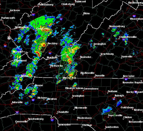 At 355 pm edt, a severe thunderstorm was located near stuart, moving northeast at 20 mph (radar indicated). Hazards include 60 mph wind gusts and quarter size hail. Hail damage to vehicles is expected. expect wind damage to roofs, siding, and trees. Locations impacted include, stuart, woolwine, critz, buffalo ridge, and fairy stone state park. At 355 pm edt, a severe thunderstorm was located near stuart, moving northeast at 20 mph (radar indicated). Hazards include 60 mph wind gusts and quarter size hail. Hail damage to vehicles is expected. expect wind damage to roofs, siding, and trees. Locations impacted include, stuart, woolwine, critz, buffalo ridge, and fairy stone state park.
|
| 9/29/2016 3:40 PM EDT |
 At 339 pm edt, a severe thunderstorm was located over stuart, moving northeast at 20 mph (radar indicated). Hazards include 60 mph wind gusts and quarter size hail. Hail damage to vehicles is expected. expect wind damage to roofs, siding, and trees. Locations impacted include, stuart, woolwine, critz, collinstown, and buffalo ridge. At 339 pm edt, a severe thunderstorm was located over stuart, moving northeast at 20 mph (radar indicated). Hazards include 60 mph wind gusts and quarter size hail. Hail damage to vehicles is expected. expect wind damage to roofs, siding, and trees. Locations impacted include, stuart, woolwine, critz, collinstown, and buffalo ridge.
|
| 9/29/2016 3:40 PM EDT |
 At 339 pm edt, a severe thunderstorm was located over stuart, moving northeast at 20 mph (radar indicated). Hazards include 60 mph wind gusts and quarter size hail. Hail damage to vehicles is expected. expect wind damage to roofs, siding, and trees. Locations impacted include, stuart, woolwine, critz, collinstown, and buffalo ridge. At 339 pm edt, a severe thunderstorm was located over stuart, moving northeast at 20 mph (radar indicated). Hazards include 60 mph wind gusts and quarter size hail. Hail damage to vehicles is expected. expect wind damage to roofs, siding, and trees. Locations impacted include, stuart, woolwine, critz, collinstown, and buffalo ridge.
|
| 9/29/2016 3:15 PM EDT |
 At 315 pm edt, a severe thunderstorm was located over francisco, moving northeast at 20 mph (radar indicated). Hazards include quarter size hail. damage to vehicles is expected At 315 pm edt, a severe thunderstorm was located over francisco, moving northeast at 20 mph (radar indicated). Hazards include quarter size hail. damage to vehicles is expected
|
| 9/29/2016 3:15 PM EDT |
 At 315 pm edt, a severe thunderstorm was located over francisco, moving northeast at 20 mph (radar indicated). Hazards include quarter size hail. damage to vehicles is expected At 315 pm edt, a severe thunderstorm was located over francisco, moving northeast at 20 mph (radar indicated). Hazards include quarter size hail. damage to vehicles is expected
|
| 7/27/2016 4:46 PM EDT |
 At 446 pm edt, severe thunderstorms were located along a line extending from near mabry mill to near baywood, moving east at 15 mph (radar indicated). Hazards include 60 mph wind gusts and quarter size hail. Hail damage to vehicles is expected. expect wind damage to roofs, siding, and trees. Locations impacted include, galax, hillsville, fries, cana, and ararat. At 446 pm edt, severe thunderstorms were located along a line extending from near mabry mill to near baywood, moving east at 15 mph (radar indicated). Hazards include 60 mph wind gusts and quarter size hail. Hail damage to vehicles is expected. expect wind damage to roofs, siding, and trees. Locations impacted include, galax, hillsville, fries, cana, and ararat.
|
| 7/27/2016 4:46 PM EDT |
 At 446 pm edt, severe thunderstorms were located along a line extending from near mabry mill to near baywood, moving east at 15 mph (radar indicated). Hazards include 60 mph wind gusts and quarter size hail. Hail damage to vehicles is expected. expect wind damage to roofs, siding, and trees. Locations impacted include, galax, hillsville, fries, cana, and ararat. At 446 pm edt, severe thunderstorms were located along a line extending from near mabry mill to near baywood, moving east at 15 mph (radar indicated). Hazards include 60 mph wind gusts and quarter size hail. Hail damage to vehicles is expected. expect wind damage to roofs, siding, and trees. Locations impacted include, galax, hillsville, fries, cana, and ararat.
|
| 7/27/2016 4:31 PM EDT |
 At 430 pm edt, severe thunderstorms were located along a line extending from near mabry mill to near independence, moving east at 15 mph (radar indicated). Hazards include 60 mph wind gusts and quarter size hail. Hail damage to vehicles is expected. Expect wind damage to roofs, siding, and trees. At 430 pm edt, severe thunderstorms were located along a line extending from near mabry mill to near independence, moving east at 15 mph (radar indicated). Hazards include 60 mph wind gusts and quarter size hail. Hail damage to vehicles is expected. Expect wind damage to roofs, siding, and trees.
|
| 7/27/2016 4:31 PM EDT |
 At 430 pm edt, severe thunderstorms were located along a line extending from near mabry mill to near independence, moving east at 15 mph (radar indicated). Hazards include 60 mph wind gusts and quarter size hail. Hail damage to vehicles is expected. Expect wind damage to roofs, siding, and trees. At 430 pm edt, severe thunderstorms were located along a line extending from near mabry mill to near independence, moving east at 15 mph (radar indicated). Hazards include 60 mph wind gusts and quarter size hail. Hail damage to vehicles is expected. Expect wind damage to roofs, siding, and trees.
|
| 7/14/2016 4:10 PM EDT |
Thunderstorm winds brought down trees along route 57 in patrick county... va in patrick county VA, 11.9 miles SW of Stuart, VA
|
| 7/14/2016 4:08 PM EDT |
Thunderstorm winds brought down numerous trees across the community of critz in patrick county... v in patrick county VA, 6.4 miles W of Stuart, VA
|
| 7/14/2016 4:00 PM EDT |
Thunderstorm winds brought down at least two trees along route 58 on the north side of stuart... v in patrick county VA, 1.6 miles SSE of Stuart, VA
|
| 7/14/2016 3:49 PM EDT |
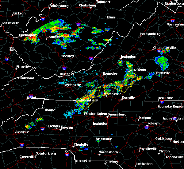 At 348 pm edt, a severe thunderstorm was located over toast, moving northeast at 20 mph (radar indicated). Hazards include 60 mph wind gusts and quarter size hail. Hail damage to vehicles is expected. expect wind damage to roofs, siding, and trees. Locations impacted include, ararat, and collinstown. At 348 pm edt, a severe thunderstorm was located over toast, moving northeast at 20 mph (radar indicated). Hazards include 60 mph wind gusts and quarter size hail. Hail damage to vehicles is expected. expect wind damage to roofs, siding, and trees. Locations impacted include, ararat, and collinstown.
|
| 7/14/2016 3:49 PM EDT |
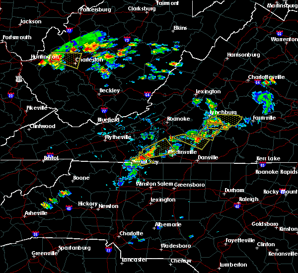 At 348 pm edt, a severe thunderstorm was located over toast, moving northeast at 20 mph (radar indicated). Hazards include 60 mph wind gusts and quarter size hail. Hail damage to vehicles is expected. expect wind damage to roofs, siding, and trees. Locations impacted include, ararat, and collinstown. At 348 pm edt, a severe thunderstorm was located over toast, moving northeast at 20 mph (radar indicated). Hazards include 60 mph wind gusts and quarter size hail. Hail damage to vehicles is expected. expect wind damage to roofs, siding, and trees. Locations impacted include, ararat, and collinstown.
|
| 7/14/2016 3:40 PM EDT |
 At 340 pm edt, a severe thunderstorm was located over pine ridge, moving northeast at 20 mph (radar indicated). Hazards include 60 mph wind gusts and quarter size hail. Hail damage to vehicles is expected. expect wind damage to roofs, siding, and trees. Locations impacted include, mount airy, flat rock, pilot mountain, cana, and francisco. At 340 pm edt, a severe thunderstorm was located over pine ridge, moving northeast at 20 mph (radar indicated). Hazards include 60 mph wind gusts and quarter size hail. Hail damage to vehicles is expected. expect wind damage to roofs, siding, and trees. Locations impacted include, mount airy, flat rock, pilot mountain, cana, and francisco.
|
|
|
| 7/14/2016 3:40 PM EDT |
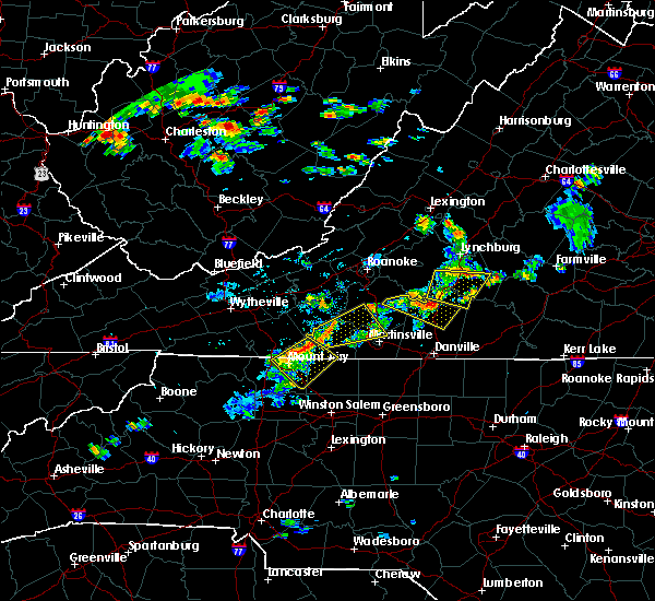 At 340 pm edt, a severe thunderstorm was located over pine ridge, moving northeast at 20 mph (radar indicated). Hazards include 60 mph wind gusts and quarter size hail. Hail damage to vehicles is expected. expect wind damage to roofs, siding, and trees. Locations impacted include, mount airy, flat rock, pilot mountain, cana, and francisco. At 340 pm edt, a severe thunderstorm was located over pine ridge, moving northeast at 20 mph (radar indicated). Hazards include 60 mph wind gusts and quarter size hail. Hail damage to vehicles is expected. expect wind damage to roofs, siding, and trees. Locations impacted include, mount airy, flat rock, pilot mountain, cana, and francisco.
|
| 7/14/2016 3:34 PM EDT |
Thunderstorm winds brought down several trees in and around woolwine temporarily closing roadway in patrick county VA, 9.7 miles S of Stuart, VA
|
| 7/14/2016 3:31 PM EDT |
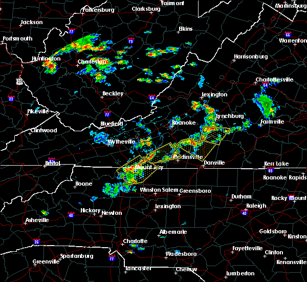 At 331 pm edt, a severe thunderstorm was located over pine ridge, moving northeast at 20 mph (radar indicated). Hazards include 60 mph wind gusts and quarter size hail. Hail damage to vehicles is expected. expect wind damage to roofs, siding, and trees. Locations impacted include, mount airy, flat rock, dobson, pilot mountain, and cana. At 331 pm edt, a severe thunderstorm was located over pine ridge, moving northeast at 20 mph (radar indicated). Hazards include 60 mph wind gusts and quarter size hail. Hail damage to vehicles is expected. expect wind damage to roofs, siding, and trees. Locations impacted include, mount airy, flat rock, dobson, pilot mountain, and cana.
|
| 7/14/2016 3:31 PM EDT |
 At 331 pm edt, a severe thunderstorm was located over pine ridge, moving northeast at 20 mph (radar indicated). Hazards include 60 mph wind gusts and quarter size hail. Hail damage to vehicles is expected. expect wind damage to roofs, siding, and trees. Locations impacted include, mount airy, flat rock, dobson, pilot mountain, and cana. At 331 pm edt, a severe thunderstorm was located over pine ridge, moving northeast at 20 mph (radar indicated). Hazards include 60 mph wind gusts and quarter size hail. Hail damage to vehicles is expected. expect wind damage to roofs, siding, and trees. Locations impacted include, mount airy, flat rock, dobson, pilot mountain, and cana.
|
| 7/14/2016 3:30 PM EDT |
 At 330 pm edt, a severe thunderstorm was located over buffalo ridge, moving east at 40 mph (radar indicated). Hazards include 60 mph wind gusts and quarter size hail. Hail damage to vehicles is expected. Expect wind damage to roofs, siding, and trees. At 330 pm edt, a severe thunderstorm was located over buffalo ridge, moving east at 40 mph (radar indicated). Hazards include 60 mph wind gusts and quarter size hail. Hail damage to vehicles is expected. Expect wind damage to roofs, siding, and trees.
|
| 7/14/2016 3:23 PM EDT |
 At 323 pm edt, a severe thunderstorm was located over bottom, moving northeast at 20 mph (radar indicated). Hazards include 60 mph wind gusts and quarter size hail. Hail damage to vehicles is expected. Expect wind damage to roofs, siding, and trees. At 323 pm edt, a severe thunderstorm was located over bottom, moving northeast at 20 mph (radar indicated). Hazards include 60 mph wind gusts and quarter size hail. Hail damage to vehicles is expected. Expect wind damage to roofs, siding, and trees.
|
| 7/14/2016 3:23 PM EDT |
 At 323 pm edt, a severe thunderstorm was located over bottom, moving northeast at 20 mph (radar indicated). Hazards include 60 mph wind gusts and quarter size hail. Hail damage to vehicles is expected. Expect wind damage to roofs, siding, and trees. At 323 pm edt, a severe thunderstorm was located over bottom, moving northeast at 20 mph (radar indicated). Hazards include 60 mph wind gusts and quarter size hail. Hail damage to vehicles is expected. Expect wind damage to roofs, siding, and trees.
|
| 7/8/2016 6:09 PM EDT |
 At 609 pm edt, severe thunderstorms were located along a line extending from near horse pasture to near penns store to near woodville, moving southeast at 30 mph (radar indicated). Hazards include 60 mph wind gusts and quarter size hail. Hail damage to vehicles is expected. expect wind damage to roofs, siding, and trees. locations impacted include, eden, reidsville, martinsville, wentworth, and mayodan. This includes the martinsville speedway and martinsville airport. At 609 pm edt, severe thunderstorms were located along a line extending from near horse pasture to near penns store to near woodville, moving southeast at 30 mph (radar indicated). Hazards include 60 mph wind gusts and quarter size hail. Hail damage to vehicles is expected. expect wind damage to roofs, siding, and trees. locations impacted include, eden, reidsville, martinsville, wentworth, and mayodan. This includes the martinsville speedway and martinsville airport.
|
| 7/8/2016 6:09 PM EDT |
 At 609 pm edt, severe thunderstorms were located along a line extending from near horse pasture to near penns store to near woodville, moving southeast at 30 mph (radar indicated). Hazards include 60 mph wind gusts and quarter size hail. Hail damage to vehicles is expected. expect wind damage to roofs, siding, and trees. locations impacted include, eden, reidsville, martinsville, wentworth, and mayodan. This includes the martinsville speedway and martinsville airport. At 609 pm edt, severe thunderstorms were located along a line extending from near horse pasture to near penns store to near woodville, moving southeast at 30 mph (radar indicated). Hazards include 60 mph wind gusts and quarter size hail. Hail damage to vehicles is expected. expect wind damage to roofs, siding, and trees. locations impacted include, eden, reidsville, martinsville, wentworth, and mayodan. This includes the martinsville speedway and martinsville airport.
|
| 7/8/2016 6:01 PM EDT |
 At 601 pm edt, severe thunderstorms were located along a line extending from near horse pasture to near critz to near ararat, moving southeast at 30 mph (radar indicated). Hazards include 60 mph wind gusts and quarter size hail. Hail damage to vehicles is expected. expect wind damage to roofs, siding, and trees. locations impacted include, eden, reidsville, martinsville, wentworth, and mayodan. This includes the martinsville speedway and martinsville airport. At 601 pm edt, severe thunderstorms were located along a line extending from near horse pasture to near critz to near ararat, moving southeast at 30 mph (radar indicated). Hazards include 60 mph wind gusts and quarter size hail. Hail damage to vehicles is expected. expect wind damage to roofs, siding, and trees. locations impacted include, eden, reidsville, martinsville, wentworth, and mayodan. This includes the martinsville speedway and martinsville airport.
|
| 7/8/2016 6:01 PM EDT |
 At 601 pm edt, severe thunderstorms were located along a line extending from near horse pasture to near critz to near ararat, moving southeast at 30 mph (radar indicated). Hazards include 60 mph wind gusts and quarter size hail. Hail damage to vehicles is expected. expect wind damage to roofs, siding, and trees. locations impacted include, eden, reidsville, martinsville, wentworth, and mayodan. This includes the martinsville speedway and martinsville airport. At 601 pm edt, severe thunderstorms were located along a line extending from near horse pasture to near critz to near ararat, moving southeast at 30 mph (radar indicated). Hazards include 60 mph wind gusts and quarter size hail. Hail damage to vehicles is expected. expect wind damage to roofs, siding, and trees. locations impacted include, eden, reidsville, martinsville, wentworth, and mayodan. This includes the martinsville speedway and martinsville airport.
|
| 7/8/2016 5:48 PM EDT |
 At 548 pm edt, severe thunderstorms were located along a line extending from fieldale to stuart to ararat, moving southeast at 30 mph (radar indicated). Hazards include 60 mph wind gusts and quarter size hail. Hail damage to vehicles is expected. Expect wind damage to roofs, siding, and trees. At 548 pm edt, severe thunderstorms were located along a line extending from fieldale to stuart to ararat, moving southeast at 30 mph (radar indicated). Hazards include 60 mph wind gusts and quarter size hail. Hail damage to vehicles is expected. Expect wind damage to roofs, siding, and trees.
|
| 7/8/2016 5:48 PM EDT |
 At 548 pm edt, severe thunderstorms were located along a line extending from fieldale to stuart to ararat, moving southeast at 30 mph (radar indicated). Hazards include 60 mph wind gusts and quarter size hail. Hail damage to vehicles is expected. Expect wind damage to roofs, siding, and trees. At 548 pm edt, severe thunderstorms were located along a line extending from fieldale to stuart to ararat, moving southeast at 30 mph (radar indicated). Hazards include 60 mph wind gusts and quarter size hail. Hail damage to vehicles is expected. Expect wind damage to roofs, siding, and trees.
|
| 7/3/2016 12:20 AM EDT |
 At 1218 am edt, severe thunderstorms were located along a line extending from near turbeville to gatewood to eden, moving east at 50 mph (radar indicated). Hazards include 60 mph wind gusts. Expect damage to roofs. siding. and trees. locations impacted include, danville, eden, martinsville, mayodan, and madison. this includes the following locations the martinsville speedway, martinsville airport, and danville airport. Wind gusts to 60 mph, frequent cloud-to-ground lightning, and torrential rainfall area likely in the danville city area during the next 30 minutes. At 1218 am edt, severe thunderstorms were located along a line extending from near turbeville to gatewood to eden, moving east at 50 mph (radar indicated). Hazards include 60 mph wind gusts. Expect damage to roofs. siding. and trees. locations impacted include, danville, eden, martinsville, mayodan, and madison. this includes the following locations the martinsville speedway, martinsville airport, and danville airport. Wind gusts to 60 mph, frequent cloud-to-ground lightning, and torrential rainfall area likely in the danville city area during the next 30 minutes.
|
| 7/3/2016 12:20 AM EDT |
 At 1218 am edt, severe thunderstorms were located along a line extending from near turbeville to gatewood to eden, moving east at 50 mph (radar indicated). Hazards include 60 mph wind gusts. Expect damage to roofs. siding. and trees. locations impacted include, danville, eden, martinsville, mayodan, and madison. this includes the following locations the martinsville speedway, martinsville airport, and danville airport. Wind gusts to 60 mph, frequent cloud-to-ground lightning, and torrential rainfall area likely in the danville city area during the next 30 minutes. At 1218 am edt, severe thunderstorms were located along a line extending from near turbeville to gatewood to eden, moving east at 50 mph (radar indicated). Hazards include 60 mph wind gusts. Expect damage to roofs. siding. and trees. locations impacted include, danville, eden, martinsville, mayodan, and madison. this includes the following locations the martinsville speedway, martinsville airport, and danville airport. Wind gusts to 60 mph, frequent cloud-to-ground lightning, and torrential rainfall area likely in the danville city area during the next 30 minutes.
|
| 7/2/2016 11:47 PM EDT |
 At 1147 pm edt, severe thunderstorms were located along a line extending from near dry fork to near price to near patrick springs, moving east-southeast at 50 mph (radar indicated). Hazards include 60 mph wind gusts. Expect damage to roofs. siding. And trees. At 1147 pm edt, severe thunderstorms were located along a line extending from near dry fork to near price to near patrick springs, moving east-southeast at 50 mph (radar indicated). Hazards include 60 mph wind gusts. Expect damage to roofs. siding. And trees.
|
| 7/2/2016 11:47 PM EDT |
 At 1147 pm edt, severe thunderstorms were located along a line extending from near dry fork to near price to near patrick springs, moving east-southeast at 50 mph (radar indicated). Hazards include 60 mph wind gusts. Expect damage to roofs. siding. And trees. At 1147 pm edt, severe thunderstorms were located along a line extending from near dry fork to near price to near patrick springs, moving east-southeast at 50 mph (radar indicated). Hazards include 60 mph wind gusts. Expect damage to roofs. siding. And trees.
|
| 6/16/2016 10:58 PM EDT |
The severe thunderstorm warning for alleghany, ashe, patrick, southern grayson, henry and southern carroll counties, the city of martinsville and the city of galax will expire at 1100 pm edt, the storms which prompted the warning have weakened below severe limits, and have exited the warned area. therefore the warning will be allowed to expire. however, heavy rain and wind gusts are still possible with these thunderstorms. when it is safe to do so, please send your reports of hail of any size, as well as any reports of wind damage, including downed trees or large limbs, to the national weather service by calling toll free at 1, 8 6 6, 2 1 5, 4 3 2 4. reports and pictures can also be shared on the national weather service blacksburg facebook page and on twitter.
|
| 6/16/2016 10:34 PM EDT |
 At 1033 pm edt, severe thunderstorms were located along a line extending from near pittsville to near fairy stone state park to fries, moving east at 50 mph (radar indicated). Hazards include 60 mph wind gusts and penny size hail. Expect damage to roofs. siding. and trees. locations impacted include, martinsville, galax, sparta, jefferson, and stuart. This includes the martinsville speedway and martinsville airport. At 1033 pm edt, severe thunderstorms were located along a line extending from near pittsville to near fairy stone state park to fries, moving east at 50 mph (radar indicated). Hazards include 60 mph wind gusts and penny size hail. Expect damage to roofs. siding. and trees. locations impacted include, martinsville, galax, sparta, jefferson, and stuart. This includes the martinsville speedway and martinsville airport.
|
| 6/16/2016 10:34 PM EDT |
 At 1033 pm edt, severe thunderstorms were located along a line extending from near pittsville to near fairy stone state park to fries, moving east at 50 mph (radar indicated). Hazards include 60 mph wind gusts and penny size hail. Expect damage to roofs. siding. and trees. locations impacted include, martinsville, galax, sparta, jefferson, and stuart. This includes the martinsville speedway and martinsville airport. At 1033 pm edt, severe thunderstorms were located along a line extending from near pittsville to near fairy stone state park to fries, moving east at 50 mph (radar indicated). Hazards include 60 mph wind gusts and penny size hail. Expect damage to roofs. siding. and trees. locations impacted include, martinsville, galax, sparta, jefferson, and stuart. This includes the martinsville speedway and martinsville airport.
|
| 6/16/2016 10:07 PM EDT |
 At 1007 pm edt, severe thunderstorms were located along a line extending from near burnt chimney to near alum ridge to near rural retreat, moving east at 50 mph (radar indicated). Hazards include 60 mph wind gusts and quarter size hail. Hail damage to vehicles is expected. Expect wind damage to roofs, siding, and trees. At 1007 pm edt, severe thunderstorms were located along a line extending from near burnt chimney to near alum ridge to near rural retreat, moving east at 50 mph (radar indicated). Hazards include 60 mph wind gusts and quarter size hail. Hail damage to vehicles is expected. Expect wind damage to roofs, siding, and trees.
|
| 6/16/2016 10:07 PM EDT |
 At 1007 pm edt, severe thunderstorms were located along a line extending from near burnt chimney to near alum ridge to near rural retreat, moving east at 50 mph (radar indicated). Hazards include 60 mph wind gusts and quarter size hail. Hail damage to vehicles is expected. Expect wind damage to roofs, siding, and trees. At 1007 pm edt, severe thunderstorms were located along a line extending from near burnt chimney to near alum ridge to near rural retreat, moving east at 50 mph (radar indicated). Hazards include 60 mph wind gusts and quarter size hail. Hail damage to vehicles is expected. Expect wind damage to roofs, siding, and trees.
|
| 4/28/2016 3:06 PM EDT |
 At 306 pm edt, a severe thunderstorm was located over ararat, moving east at 20 mph (radar indicated). Hazards include 60 mph wind gusts and quarter size hail. Hail damage to vehicles is expected. Expect wind damage to roofs, siding, and trees. At 306 pm edt, a severe thunderstorm was located over ararat, moving east at 20 mph (radar indicated). Hazards include 60 mph wind gusts and quarter size hail. Hail damage to vehicles is expected. Expect wind damage to roofs, siding, and trees.
|
| 4/28/2016 3:06 PM EDT |
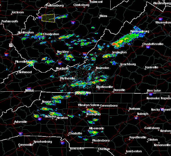 At 306 pm edt, a severe thunderstorm was located over ararat, moving east at 20 mph (radar indicated). Hazards include 60 mph wind gusts and quarter size hail. Hail damage to vehicles is expected. Expect wind damage to roofs, siding, and trees. At 306 pm edt, a severe thunderstorm was located over ararat, moving east at 20 mph (radar indicated). Hazards include 60 mph wind gusts and quarter size hail. Hail damage to vehicles is expected. Expect wind damage to roofs, siding, and trees.
|
|
|
| 2/24/2016 1:26 PM EST |
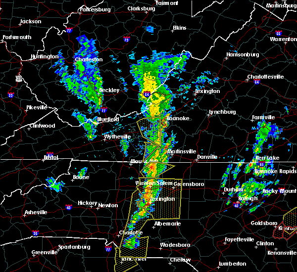 The severe thunderstorm warning for eastern patrick and east central floyd counties will expire at 130 pm est, the storms which prompted the warning have moved out of the area. therefore the warning will be allowed to expire. a tornado watch remains in effect until 700 pm est for north central north carolina. when it is safe to do so, please send your reports of hail of any size, as well as any reports of wind damage, including downed trees or large limbs, to the national weather service by calling toll free at 1, 8 6 6, 2 1 5, 4 3 2 4. reports and pictures can also be shared on the national weather service blacksburg facebook page and on twitter. The severe thunderstorm warning for eastern patrick and east central floyd counties will expire at 130 pm est, the storms which prompted the warning have moved out of the area. therefore the warning will be allowed to expire. a tornado watch remains in effect until 700 pm est for north central north carolina. when it is safe to do so, please send your reports of hail of any size, as well as any reports of wind damage, including downed trees or large limbs, to the national weather service by calling toll free at 1, 8 6 6, 2 1 5, 4 3 2 4. reports and pictures can also be shared on the national weather service blacksburg facebook page and on twitter.
|
| 2/24/2016 1:17 PM EST |
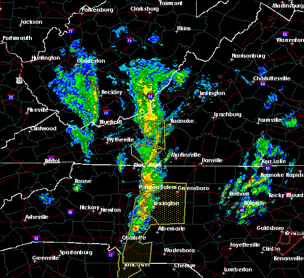 At 117 pm est, severe thunderstorms were located along a line extending from charity to near stuart, moving southeast at 40 mph (radar indicated). Hazards include golf ball size hail and 60 mph wind gusts. People and animals outdoors will be injured. expect hail damage to roofs, siding, windows, and vehicles. expect wind damage to roofs, siding, and trees. locations impacted include, woolwine, buffalo ridge, and charity. A tornado watch remains in effect until 700 pm est for north central north carolina. At 117 pm est, severe thunderstorms were located along a line extending from charity to near stuart, moving southeast at 40 mph (radar indicated). Hazards include golf ball size hail and 60 mph wind gusts. People and animals outdoors will be injured. expect hail damage to roofs, siding, windows, and vehicles. expect wind damage to roofs, siding, and trees. locations impacted include, woolwine, buffalo ridge, and charity. A tornado watch remains in effect until 700 pm est for north central north carolina.
|
| 2/24/2016 12:58 PM EST |
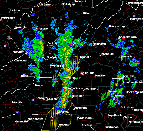 At 1258 pm est, a severe thunderstorm was located over alum ridge, moving northeast at 70 mph (radar indicated). Hazards include golf ball size hail and 60 mph wind gusts. People and animals outdoors will be injured. expect hail damage to roofs, siding, windows, and vehicles. expect wind damage to roofs, siding, and trees. locations impacted include, floyd, woolwine, indian valley, willis, and rocky knob recreation area. A tornado watch remains in effect until 700 pm est for north central north carolina. At 1258 pm est, a severe thunderstorm was located over alum ridge, moving northeast at 70 mph (radar indicated). Hazards include golf ball size hail and 60 mph wind gusts. People and animals outdoors will be injured. expect hail damage to roofs, siding, windows, and vehicles. expect wind damage to roofs, siding, and trees. locations impacted include, floyd, woolwine, indian valley, willis, and rocky knob recreation area. A tornado watch remains in effect until 700 pm est for north central north carolina.
|
| 2/24/2016 12:37 PM EST |
 At 1236 pm est, a severe thunderstorm was located over pine ridge, moving northeast at 35 mph (radar indicated). Hazards include 60 mph wind gusts and quarter size hail. Hail damage to vehicles is expected. Expect wind damage to roofs, siding, and trees. At 1236 pm est, a severe thunderstorm was located over pine ridge, moving northeast at 35 mph (radar indicated). Hazards include 60 mph wind gusts and quarter size hail. Hail damage to vehicles is expected. Expect wind damage to roofs, siding, and trees.
|
| 9/4/2015 7:38 PM EDT |
 The severe thunderstorm warning for surry, northeastern yadkin, northwestern stokes, southwestern patrick, south central floyd and southeastern carroll counties will expire at 745 pm edt, the storm which prompted the warning has weakened below severe limits, and has exited the warned area. therefore the warning will be allowed to expire. when it is safe to do so, please send your reports of hail of any size, as well as any reports of wind damage, including downed trees or large limbs, to the national weather service by calling toll free at 1, 8 6 6, 2 1 5, 4 3 2 4. reports and pictures can also be shared on the national weather service blacksburg facebook page and on twitter. The severe thunderstorm warning for surry, northeastern yadkin, northwestern stokes, southwestern patrick, south central floyd and southeastern carroll counties will expire at 745 pm edt, the storm which prompted the warning has weakened below severe limits, and has exited the warned area. therefore the warning will be allowed to expire. when it is safe to do so, please send your reports of hail of any size, as well as any reports of wind damage, including downed trees or large limbs, to the national weather service by calling toll free at 1, 8 6 6, 2 1 5, 4 3 2 4. reports and pictures can also be shared on the national weather service blacksburg facebook page and on twitter.
|
| 9/4/2015 7:38 PM EDT |
 The severe thunderstorm warning for surry, northeastern yadkin, northwestern stokes, southwestern patrick, south central floyd and southeastern carroll counties will expire at 745 pm edt, the storm which prompted the warning has weakened below severe limits, and has exited the warned area. therefore the warning will be allowed to expire. when it is safe to do so, please send your reports of hail of any size, as well as any reports of wind damage, including downed trees or large limbs, to the national weather service by calling toll free at 1, 8 6 6, 2 1 5, 4 3 2 4. reports and pictures can also be shared on the national weather service blacksburg facebook page and on twitter. The severe thunderstorm warning for surry, northeastern yadkin, northwestern stokes, southwestern patrick, south central floyd and southeastern carroll counties will expire at 745 pm edt, the storm which prompted the warning has weakened below severe limits, and has exited the warned area. therefore the warning will be allowed to expire. when it is safe to do so, please send your reports of hail of any size, as well as any reports of wind damage, including downed trees or large limbs, to the national weather service by calling toll free at 1, 8 6 6, 2 1 5, 4 3 2 4. reports and pictures can also be shared on the national weather service blacksburg facebook page and on twitter.
|
| 9/4/2015 7:09 PM EDT |
 At 709 pm edt, a severe thunderstorm was located over ararat, moving southwest at 30 mph (radar indicated). Hazards include 60 mph wind gusts and quarter size hail. Hail damage to vehicles is expected. expect wind damage to roofs, siding and trees. Locations impacted include, mount airy, elkin, fairview, flat rock, and dobson. At 709 pm edt, a severe thunderstorm was located over ararat, moving southwest at 30 mph (radar indicated). Hazards include 60 mph wind gusts and quarter size hail. Hail damage to vehicles is expected. expect wind damage to roofs, siding and trees. Locations impacted include, mount airy, elkin, fairview, flat rock, and dobson.
|
| 9/4/2015 7:09 PM EDT |
 At 709 pm edt, a severe thunderstorm was located over ararat, moving southwest at 30 mph (radar indicated). Hazards include 60 mph wind gusts and quarter size hail. Hail damage to vehicles is expected. expect wind damage to roofs, siding and trees. Locations impacted include, mount airy, elkin, fairview, flat rock, and dobson. At 709 pm edt, a severe thunderstorm was located over ararat, moving southwest at 30 mph (radar indicated). Hazards include 60 mph wind gusts and quarter size hail. Hail damage to vehicles is expected. expect wind damage to roofs, siding and trees. Locations impacted include, mount airy, elkin, fairview, flat rock, and dobson.
|
| 9/4/2015 6:55 PM EDT |
Trees down on woolwine hwy in patrick county VA, 3.6 miles SSE of Stuart, VA
|
| 9/4/2015 6:50 PM EDT |
 At 650 pm edt, a severe thunderstorm was located near meadows of dan, moving southwest at 25 mph (radar indicated). Hazards include 60 mph wind gusts and quarter size hail. Hail damage to vehicles is expected. Expect wind damage to roofs, siding and trees. At 650 pm edt, a severe thunderstorm was located near meadows of dan, moving southwest at 25 mph (radar indicated). Hazards include 60 mph wind gusts and quarter size hail. Hail damage to vehicles is expected. Expect wind damage to roofs, siding and trees.
|
| 9/4/2015 6:50 PM EDT |
 At 650 pm edt, a severe thunderstorm was located near meadows of dan, moving southwest at 25 mph (radar indicated). Hazards include 60 mph wind gusts and quarter size hail. Hail damage to vehicles is expected. Expect wind damage to roofs, siding and trees. At 650 pm edt, a severe thunderstorm was located near meadows of dan, moving southwest at 25 mph (radar indicated). Hazards include 60 mph wind gusts and quarter size hail. Hail damage to vehicles is expected. Expect wind damage to roofs, siding and trees.
|
| 9/4/2015 5:06 PM EDT |
 At 506 pm edt, a severe thunderstorm was located near collinstown, moving southwest at 25 mph (radar indicated). Hazards include 60 mph wind gusts and quarter size hail. Hail damage to vehicles is expected. expect wind damage to roofs, siding and trees. Locations impacted include, mount airy, fairview, flat rock, dobson, and pilot mountain. At 506 pm edt, a severe thunderstorm was located near collinstown, moving southwest at 25 mph (radar indicated). Hazards include 60 mph wind gusts and quarter size hail. Hail damage to vehicles is expected. expect wind damage to roofs, siding and trees. Locations impacted include, mount airy, fairview, flat rock, dobson, and pilot mountain.
|
| 9/4/2015 5:06 PM EDT |
 At 506 pm edt, a severe thunderstorm was located near collinstown, moving southwest at 25 mph (radar indicated). Hazards include 60 mph wind gusts and quarter size hail. Hail damage to vehicles is expected. expect wind damage to roofs, siding and trees. Locations impacted include, mount airy, fairview, flat rock, dobson, and pilot mountain. At 506 pm edt, a severe thunderstorm was located near collinstown, moving southwest at 25 mph (radar indicated). Hazards include 60 mph wind gusts and quarter size hail. Hail damage to vehicles is expected. expect wind damage to roofs, siding and trees. Locations impacted include, mount airy, fairview, flat rock, dobson, and pilot mountain.
|
| 9/4/2015 5:00 PM EDT |
Quarter sized hail reported 6 miles ESE of Stuart, VA, hail of nickel to quarter size on busted rock road
|
| 9/4/2015 4:47 PM EDT |
 At 447 pm edt, a severe thunderstorm was located near stuart, moving southwest at 30 mph (radar indicated). Hazards include 60 mph wind gusts and quarter size hail. Hail damage to vehicles is expected. Expect wind damage to roofs, siding and trees. At 447 pm edt, a severe thunderstorm was located near stuart, moving southwest at 30 mph (radar indicated). Hazards include 60 mph wind gusts and quarter size hail. Hail damage to vehicles is expected. Expect wind damage to roofs, siding and trees.
|
| 9/4/2015 4:47 PM EDT |
 At 447 pm edt, a severe thunderstorm was located near stuart, moving southwest at 30 mph (radar indicated). Hazards include 60 mph wind gusts and quarter size hail. Hail damage to vehicles is expected. Expect wind damage to roofs, siding and trees. At 447 pm edt, a severe thunderstorm was located near stuart, moving southwest at 30 mph (radar indicated). Hazards include 60 mph wind gusts and quarter size hail. Hail damage to vehicles is expected. Expect wind damage to roofs, siding and trees.
|
| 7/13/2015 7:59 PM EDT |
 At 757 pm edt, severe thunderstorms were located along a line extending from near fincastle to copper hill to critz, moving east at 45 mph (radar indicated). Hazards include 60 mph wind gusts. Expect damage to roofs. Siding and trees. At 757 pm edt, severe thunderstorms were located along a line extending from near fincastle to copper hill to critz, moving east at 45 mph (radar indicated). Hazards include 60 mph wind gusts. Expect damage to roofs. Siding and trees.
|
| 7/2/2014 8:05 PM EDT |
Two trees down along u.s. route 58 east of stuar in patrick county VA, 1.1 miles NW of Stuart, VA
|
| 6/20/2014 4:03 PM EDT |
One tree down on black jack roa in patrick county VA, 6.2 miles N of Stuart, VA
|
| 6/17/2014 4:09 PM EDT |
Two trees down on forest lan in patrick county VA, 0.3 miles W of Stuart, VA
|
| 6/16/2014 3:08 PM EDT |
Quarter sized hail reported 0.7 miles NNE of Stuart, VA, via twitter.
|
| 6/16/2014 2:54 PM EDT |
Quarter sized hail reported 1.4 miles NNW of Stuart, VA, from spotternetwork.org
|
| 5/5/2014 4:49 PM EDT |
Half Dollar sized hail reported 10.3 miles SE of Stuart, VA
|
| 6/13/2013 3:35 PM EDT |
Tree down on power line in patrick county VA, 1.1 miles SW of Stuart, VA
|
| 6/13/2013 3:30 PM EDT |
Tree down on power line in patrick county VA, 1.1 miles SW of Stuart, VA
|
|
|
| 4/19/2013 3:21 PM EDT |
Trees down within the town of woolwine in patrick county VA, 9.7 miles S of Stuart, VA
|
| 7/16/2012 8:18 PM EDT |
Debris/trees down in stokes county NC, 8.4 miles N of Stuart, VA
|
| 7/16/2012 8:18 PM EDT |
Debris/trees down in stokes county NC, 7.6 miles N of Stuart, VA
|
| 7/16/2012 8:15 PM EDT |
Multiple trees down in town of francisco in stokes county NC, 9.8 miles NNE of Stuart, VA
|
| 7/3/2012 2:45 PM EDT |
Trees down in claudville in patrick county VA, 9.3 miles ENE of Stuart, VA
|
| 7/1/2012 12:11 PM EDT |
Golf Ball sized hail reported 9.3 miles ENE of Stuart, VA, metal shingles off of barn along with tress and powerlines down.
|
| 6/30/2012 9:45 PM EDT |
50 reports of trees down and powerlines down across the southern part of the county...along and south of highway 58 from storms which persisted over the area from 815 t in patrick county VA, 1.1 miles NE of Stuart, VA
|
| 6/30/2012 9:15 PM EDT |
Numerous large limbs down on robyns road. quarter size hail fell for 15 minutes destroying tomato plant in patrick county VA, 4.2 miles E of Stuart, VA
|
| 6/30/2012 8:27 PM EDT |
Dispatch reports numerous trees down across the southeast portion of patrick county...especially in the doybns area. nickel size hail also reporte in patrick county VA, 0.3 miles E of Stuart, VA
|
| 6/29/2012 9:45 PM EDT |
Trees down blocking rt 58 in patrick county VA, 1.1 miles NE of Stuart, VA
|
| 5/2/2012 6:38 PM EDT |
Half Dollar sized hail reported 13.6 miles SSW of Stuart, VA, heidelbach school road
|
| 5/2/2012 5:26 PM EDT |
Quarter sized hail reported 11.9 miles SW of Stuart, VA, quarter size hail at 67 chevy lane along route 57
|
| 3/24/2012 6:15 PM EDT |
Ping Pong Ball sized hail reported 7.3 miles SW of Stuart, VA
|
| 3/24/2012 5:30 PM EDT |
Golf Ball sized hail reported 14.2 miles SW of Stuart, VA, hail at least golf-ball size observed on highway 57
|
| 3/24/2012 3:56 PM EDT |
Quarter sized hail reported 9.7 miles S of Stuart, VA, hail covered ground..largest 1 inch diameter
|
| 3/24/2012 3:35 PM EDT |
Quarter sized hail reported 10.6 miles SE of Stuart, VA
|
| 1/1/0001 12:00 AM |
Trees down at hwy 704 and creasy r in stokes county NC, 7.6 miles N of Stuart, VA
|
| 1/1/0001 12:00 AM |
Numerous reports of trees down across the county. some locations include meadows o in patrick county VA, 1.1 miles NE of Stuart, VA
|
| 1/1/0001 12:00 AM |
Golf Ball sized hail reported 7.5 miles SSW of Stuart, VA, received a report of golfball size hail causing damage to screen fixtures of a home.
|
| 1/1/0001 12:00 AM |
Quarter sized hail reported 9.9 miles ESE of Stuart, VA, hail began 620 pm and continued off and on through 640 pm. the largest hail was quarter sized.
|
| 1/1/0001 12:00 AM |
Quarter sized hail reported 7.2 miles NW of Stuart, VA, most was a little smaller than quarter size but a few were that large. lasted for almost 15 minutes.
|
| 1/1/0001 12:00 AM |
One tree down along central academy roa in patrick county VA, 4.2 miles S of Stuart, VA
|
| 1/1/0001 12:00 AM |
Quarter sized hail reported 10.6 miles SE of Stuart, VA
|
| 1/1/0001 12:00 AM |
Storm damage reported in floyd county VA, 10.6 miles SE of Stuart, VA
|
| 1/1/0001 12:00 AM |
Large tree down in patrick county VA, 1.1 miles NE of Stuart, VA
|
|
|
| 1/1/0001 12:00 AM |
Tree down near collinstown road and electric plant road in stokes county NC, 8.7 miles NE of Stuart, VA
|
 The storms which prompted the warning have moved out of the area. therefore, the warning has been allowed to expire. however, gusty winds and heavy rain are still possible with these thunderstorms. a tornado watch remains in effect until 100 pm est for north central north carolina. remember, a severe thunderstorm warning still remains in effect for portions of franklin and henry county until 945 am.
 The tornado threat has diminished and the tornado warning has been cancelled. however, damaging winds remain likely and a severe thunderstorm warning remains in effect for the area. a tornado watch remains in effect until 100 pm est for north central north carolina.
 At 839 am est, severe thunderstorms were located along a line extending from woolwine to near patrick springs to hanging rock state park, moving northeast at 50 mph (radar indicated). Hazards include 60 mph wind gusts. Expect damage to roofs, siding, and trees. Locations impacted include, stuart, danbury, bassett, ferrum, woolwine, endicott, and critz.
 At 836 am est, a severe thunderstorm capable of producing a tornado was located near buffalo ridge, or near woolwine, moving northeast at 60 mph (radar indicated rotation). Hazards include tornado. Flying debris will be dangerous to those caught without shelter. mobile homes will be damaged or destroyed. damage to roofs, windows, and vehicles will occur. tree damage is likely. Locations impacted include, stuart, woolwine, bassett, fairy stone state park, buffalo ridge, philpott dam, and charity.
 Torrnk the national weather service in blacksburg has issued a * tornado warning for, northwestern henry county in south central virginia, eastern patrick county in southwestern virginia, * until 845 am est. * at 832 am est, a severe thunderstorm capable of producing a tornado was located near stuart, moving northeast at 60 mph (radar indicated rotation). Hazards include tornado. Flying debris will be dangerous to those caught without shelter. mobile homes will be damaged or destroyed. damage to roofs, windows, and vehicles will occur. Tree damage is likely.
 Svrrnk the national weather service in blacksburg has issued a * severe thunderstorm warning for, western stokes county in north central north carolina, northwestern henry county in south central virginia, patrick county in southwestern virginia, southwestern franklin county in west central virginia, * until 900 am est. * at 825 am est, severe thunderstorms were located along a line extending from near laurel fork to near westfield to near pinnacle, moving northeast at 50 mph (radar indicated). Hazards include 60 mph wind gusts. expect damage to roofs, siding, and trees
 the severe thunderstorm warning has been cancelled and is no longer in effect
 Svrrnk the national weather service in blacksburg has issued a * severe thunderstorm warning for, northeastern surry county in northwestern north carolina, northwestern stokes county in north central north carolina, southwestern patrick county in southwestern virginia, * until 800 pm edt. * at 656 pm edt, a severe thunderstorm was located over ararat, moving east at 15 mph (radar indicated). Hazards include 60 mph wind gusts and quarter size hail. Hail damage to vehicles is expected. Expect wind damage to roofs, siding, and trees.
 The storms which prompted the warning have weakened below severe limits, and no longer pose an immediate threat to life or property. therefore, the warning will be allowed to expire. however, heavy rain is still possible with these thunderstorms.
 the severe thunderstorm warning has been cancelled and is no longer in effect
 At 550 pm edt, severe thunderstorms were located along a line extending from near lambsburg to pilot mountain state park, moving east at 35 mph (radar indicated). Hazards include 60 mph wind gusts. Expect damage to roofs, siding, and trees. Locations impacted include, mount airy, fairview, flat rock, hillsville, dobson, pilot mountain, and stuart.
 Svrrnk the national weather service in blacksburg has issued a * severe thunderstorm warning for, surry county in northwestern north carolina, northern stokes county in north central north carolina, northeastern wilkes county in northwestern north carolina, northwestern yadkin county in northwestern north carolina, southern carroll county in southwestern virginia, southwestern patrick county in southwestern virginia, * until 615 pm edt. * at 535 pm edt, severe thunderstorms were located along a line extending from barrett to boonville, moving northeast at 35 mph (radar indicated). Hazards include 60 mph wind gusts. expect damage to roofs, siding, and trees
 the severe thunderstorm warning has been cancelled and is no longer in effect
 Svrrnk the national weather service in blacksburg has issued a * severe thunderstorm warning for, northern stokes county in north central north carolina, southeastern patrick county in southwestern virginia, * until 530 pm edt. * at 444 pm edt, a severe thunderstorm was located over francisco, moving northeast at 20 mph (radar indicated). Hazards include 60 mph wind gusts and quarter size hail. Hail damage to vehicles is expected. Expect wind damage to roofs, siding, and trees.
 At 236 pm edt, a severe thunderstorm was located near sanville, or 7 miles east of woolwine, moving northeast at 15 mph (radar indicated). Hazards include 60 mph wind gusts. Expect damage to roofs, siding, and trees. Locations impacted include, patrick springs, critz, fairy stone state park, and charity.
 Svrrnk the national weather service in blacksburg has issued a * severe thunderstorm warning for, eastern patrick county in southwestern virginia, * until 245 pm edt. * at 203 pm edt, a severe thunderstorm was located near stuart, moving northeast at 15 mph (radar indicated). Hazards include 60 mph wind gusts and quarter size hail. Hail damage to vehicles is expected. Expect wind damage to roofs, siding, and trees.
 The storms which prompted the warning are weakening. however, gusty winds and heavy rain are still possible. wind gusts up to 40 mph and very heavy rain may continue through 7:00 pm.
 the severe thunderstorm warning has been cancelled and is no longer in effect
 At 615 pm edt, severe thunderstorms were located between meadows of dan and martinsville, moving east at 25 mph. other storms were located between mt. airy and roaring gap (radar indicated). Hazards include 60 mph wind gusts. Expect damage to roofs, siding, and trees. locations impacted include, eden, martinsville, mount airy, fairview, flat rock, wentworth, and mayodan. This includes the following locations the martinsville speedway and martinsville airport.
 At 548 pm edt, a severe thunderstorm was located near laurel fork, or near ararat, moving east at 25 mph (radar indicated). Hazards include 60 mph wind gusts. Expect damage to roofs, siding, and trees. locations impacted include, eden, martinsville, mount airy, fairview, flat rock, wentworth, and mayodan. This includes the following locations the martinsville speedway and martinsville airport.
 Svrrnk the national weather service in blacksburg has issued a * severe thunderstorm warning for, surry county in northwestern north carolina, stokes county in north central north carolina, western rockingham county in north central north carolina, the city of martinsville in south central virginia, southeastern carroll county in southwestern virginia, henry county in south central virginia, patrick county in southwestern virginia, * until 645 pm edt. * at 527 pm edt, a severe thunderstorm was located over fancy gap, moving east at 25 mph (radar indicated). Hazards include 60 mph wind gusts. expect damage to roofs, siding, and trees
 the severe thunderstorm warning has been cancelled and is no longer in effect
 At 632 pm edt, severe thunderstorms were located along a line extending from near floyd to 6 miles east of ararat to cana, moving east at 30 mph (radar indicated). Hazards include 60 mph wind gusts. Expect damage to roofs, siding, and trees. Locations impacted include, mount airy, flat rock, pilot mountain, stuart, francisco, cana, and woolwine.
 the severe thunderstorm warning has been cancelled and is no longer in effect
 Svrrnk the national weather service in blacksburg has issued a * severe thunderstorm warning for, east central alleghany county in northwestern north carolina, northern surry county in northwestern north carolina, northwestern stokes county in north central north carolina, southeastern floyd county in southwestern virginia, southeastern carroll county in southwestern virginia, patrick county in southwestern virginia, southwestern franklin county in west central virginia, * until 730 pm edt. * at 631 pm edt, severe thunderstorms were located along a line extending from floyd to near ararat to bottom, moving east at 30 mph (radar indicated). Hazards include 60 mph wind gusts. expect damage to roofs, siding, and trees
 the severe thunderstorm warning has been cancelled and is no longer in effect
 At 604 pm edt, severe thunderstorms were located along a line extending from indian valley to near cana to cumberland knob, moving east at 35 mph (radar indicated). Hazards include 60 mph wind gusts. Expect damage to roofs, siding, and trees. Locations impacted include, mount airy, galax, flat rock, hillsville, pilot mountain, stuart, and francisco.
 Svrrnk the national weather service in blacksburg has issued a * severe thunderstorm warning for, northern alleghany county in northwestern north carolina, northern surry county in northwestern north carolina, northwestern stokes county in north central north carolina, south central pulaski county in southwestern virginia, southern floyd county in southwestern virginia, east central wythe county in southwestern virginia, carroll county in southwestern virginia, the city of galax in southwestern virginia, southeastern grayson county in southwestern virginia, patrick county in southwestern virginia, southwestern franklin county in west central virginia, * until 645 pm edt. * at 540 pm edt, severe thunderstorms were located along a line extending from patterson to near baywood to twin oaks, moving east at 30 mph (radar indicated). Hazards include 60 mph wind gusts. expect damage to roofs, siding, and trees
 the severe thunderstorm warning has been cancelled and is no longer in effect
 Svrrnk the national weather service in blacksburg has issued a * severe thunderstorm warning for, northeastern stokes county in north central north carolina, southwestern henry county in south central virginia, southeastern patrick county in southwestern virginia, * until 615 pm edt. * at 538 pm edt, a severe thunderstorm was located near stuart, moving east at 25 mph (radar indicated). Hazards include 60 mph wind gusts and quarter size hail. Hail damage to vehicles is expected. Expect wind damage to roofs, siding, and trees.
 The storm which prompted the warning has weakened below severe limits, and no longer poses an immediate threat to life or property. therefore, the warning will be allowed to expire. however, gusty winds are still possible with this thunderstorm.
 the severe thunderstorm warning has been cancelled and is no longer in effect
 At 1135 pm edt, a severe thunderstorm was located over critz, or near spencer, moving northeast at 45 mph (radar indicated). Hazards include 60 mph wind gusts. Expect damage to roofs, siding, and trees. locations impacted include, martinsville, stuart, ferrum, spencer, bassett, woolwine, and sandy ridge. This includes the following locations the martinsville speedway and martinsville airport.
 Svrrnk the national weather service in blacksburg has issued a * severe thunderstorm warning for, eastern surry county in northwestern north carolina, northern stokes county in north central north carolina, northwestern rockingham county in north central north carolina, southeastern floyd county in southwestern virginia, the city of martinsville in south central virginia, southeastern carroll county in southwestern virginia, henry county in south central virginia, patrick county in southwestern virginia, southwestern franklin county in west central virginia, * until midnight edt. * at 1053 pm edt, a severe thunderstorm was located over white plains, or near mount airy, moving northeast at 45 mph (radar indicated). Hazards include 60 mph wind gusts and quarter size hail. Hail damage to vehicles is expected. Expect wind damage to roofs, siding, and trees.
 the severe thunderstorm warning has been cancelled and is no longer in effect
 the severe thunderstorm warning has been cancelled and is no longer in effect
 At 827 pm edt, severe thunderstorms were located along a line extending from near rocky knob summit to near buffalo ridge to near collinstown, moving northeast at 40 mph (radar indicated). Hazards include 60 mph wind gusts. Expect damage to roofs, siding, and trees. Locations impacted include, stuart, indian valley, woolwine, willis, critz, meadows of dan, and mabry mill.
 Svrrnk the national weather service in blacksburg has issued a * severe thunderstorm warning for, northeastern surry county in northwestern north carolina, northwestern stokes county in north central north carolina, southwestern floyd county in southwestern virginia, eastern carroll county in southwestern virginia, patrick county in southwestern virginia, * until 900 pm edt. * at 805 pm edt, severe thunderstorms were located along a line extending from near hillsville to near laurel fork to near ararat, moving northeast at 35 mph (radar indicated). Hazards include 60 mph wind gusts. expect damage to roofs, siding, and trees
 At 118 pm edt, a severe thunderstorm was located over critz, or 7 miles northwest of spencer, moving northeast at 10 mph (radar indicated). Hazards include quarter size hail. frequent dangerous cloud-to-ground lightning. very heavy rainfall. Damage to vehicles is expected. Minor flooding.
 At 641 pm edt, a severe thunderstorm was located near collinstown, or near stuart, moving east at 15 mph (radar indicated). Hazards include 60 mph wind gusts and quarter size hail. Hail damage to vehicles is expected. expect wind damage to roofs, siding, and trees. locations impacted include, collinstown. hail threat, radar indicated max hail size, 1. 00 in wind threat, radar indicated max wind gust, 60 mph.
 At 641 pm edt, a severe thunderstorm was located near collinstown, or near stuart, moving east at 15 mph (radar indicated). Hazards include 60 mph wind gusts and quarter size hail. Hail damage to vehicles is expected. expect wind damage to roofs, siding, and trees. locations impacted include, collinstown. hail threat, radar indicated max hail size, 1. 00 in wind threat, radar indicated max wind gust, 60 mph.
 At 621 pm edt, a severe thunderstorm was located near ararat, moving east at 10 mph (radar indicated). Hazards include 60 mph wind gusts and quarter size hail. Hail damage to vehicles is expected. Expect wind damage to roofs, siding, and trees.
 At 621 pm edt, a severe thunderstorm was located near ararat, moving east at 10 mph (radar indicated). Hazards include 60 mph wind gusts and quarter size hail. Hail damage to vehicles is expected. Expect wind damage to roofs, siding, and trees.
 At 457 pm edt, a severe thunderstorm was located near patrick springs, or near stuart, moving east at 40 mph (radar indicated). Hazards include 60 mph wind gusts and quarter size hail. Hail damage to vehicles is expected. Expect wind damage to roofs, siding, and trees.
 At 457 pm edt, a severe thunderstorm was located near patrick springs, or near stuart, moving east at 40 mph (radar indicated). Hazards include 60 mph wind gusts and quarter size hail. Hail damage to vehicles is expected. Expect wind damage to roofs, siding, and trees.
 At 532 pm edt, a severe thunderstorm was located near patrick springs, or near stuart, moving east at 30 mph (radar indicated). Hazards include 60 mph wind gusts. expect damage to roofs, siding, and trees
 At 532 pm edt, a severe thunderstorm was located near patrick springs, or near stuart, moving east at 30 mph (radar indicated). Hazards include 60 mph wind gusts. expect damage to roofs, siding, and trees
 The severe thunderstorm warning for east central craig, floyd, northwestern bedford, carroll, northwestern henry, patrick and franklin counties and the city of galax will expire at 645 pm edt, the storms which prompted the warning have moved out of the area. therefore, the warning will be allowed to expire. a severe thunderstorm watch remains in effect until 1100 pm edt for southwestern and west central virginia, and southeastern west virginia.
 At 634 pm edt, severe thunderstorms were located along a line extending from near montvale to near ferrum to near charity to rocky knob recreation area, moving southwest at 10 mph (radar indicated). Hazards include 60 mph wind gusts. Expect damage to roofs, siding, and trees. locations impacted include, roanoke, salem, vinton, galax, bedford, rocky mount, and hillsville. this includes the following locations the salem fairgrounds, the national d-day memorial, and roanoke regional airport. hail threat, radar indicated max hail size, <. 75 in wind threat, radar indicated max wind gust, 60 mph.
 At 622 pm edt, severe thunderstorms were located along a line extending from rocky mount to near buffalo ridge to near gladesboro, moving southeast at 40 mph (radar indicated). Hazards include 60 mph wind gusts. expect damage to roofs, siding, and trees
 At 622 pm edt, severe thunderstorms were located along a line extending from rocky mount to near buffalo ridge to near gladesboro, moving southeast at 40 mph (radar indicated). Hazards include 60 mph wind gusts. expect damage to roofs, siding, and trees
 At 533 pm edt, severe thunderstorms were located along a line extending from new castle to near crockett springs to near claytor lake state park to allisonia, moving east at 50 mph (radar indicated). Hazards include 60 mph wind gusts. expect damage to roofs, siding, and trees
 At 228 pm edt, a severe thunderstorm was located over stuart, moving east at 15 mph (radar indicated). Hazards include 60 mph wind gusts and quarter size hail. Hail damage to vehicles is expected. expect wind damage to roofs, siding, and trees. locations impacted include, stuart, patrick springs, and critz. hail threat, radar indicated max hail size, 1. 00 in wind threat, radar indicated max wind gust, 60 mph.
 At 207 pm edt, a severe thunderstorm was located near stuart, moving southeast at 20 mph (radar indicated). Hazards include 60 mph wind gusts and quarter size hail. Hail damage to vehicles is expected. Expect wind damage to roofs, siding, and trees.
 The severe thunderstorm warning for northern stokes and southeastern patrick counties will expire at 1245 pm edt, the storm which prompted the warning has weakened below severe limits, and no longer poses an immediate threat to life or property. therefore, the warning will be allowed to expire. however gusty winds and heavy rain are still possible with this thunderstorm.
 The severe thunderstorm warning for northern stokes and southeastern patrick counties will expire at 1245 pm edt, the storm which prompted the warning has weakened below severe limits, and no longer poses an immediate threat to life or property. therefore, the warning will be allowed to expire. however gusty winds and heavy rain are still possible with this thunderstorm.
 At 1215 pm edt, a severe thunderstorm was located near sandy ridge, moving northeast at 15 mph (radar indicated). Hazards include 60 mph wind gusts. Expect damage to roofs, siding, and trees. locations impacted include, francisco, sandy ridge, penns store, critz, collinstown, prestonville, and ayersville. hail threat, radar indicated max hail size, <. 75 in wind threat, radar indicated max wind gust, 60 mph.
 At 1215 pm edt, a severe thunderstorm was located near sandy ridge, moving northeast at 15 mph (radar indicated). Hazards include 60 mph wind gusts. Expect damage to roofs, siding, and trees. locations impacted include, francisco, sandy ridge, penns store, critz, collinstown, prestonville, and ayersville. hail threat, radar indicated max hail size, <. 75 in wind threat, radar indicated max wind gust, 60 mph.
 At 1200 pm edt, a severe thunderstorm was located near danbury, moving northeast at 15 mph (radar indicated). Hazards include 60 mph wind gusts and quarter size hail. Hail damage to vehicles is expected. Expect wind damage to roofs, siding, and trees.
 At 1200 pm edt, a severe thunderstorm was located near danbury, moving northeast at 15 mph (radar indicated). Hazards include 60 mph wind gusts and quarter size hail. Hail damage to vehicles is expected. Expect wind damage to roofs, siding, and trees.
 At 826 pm edt, severe thunderstorms were located along a line extending from near straightstone to draper, moving east at 55 mph (radar indicated). Hazards include 60 mph wind gusts. Expect damage to roofs, siding, and trees. locations impacted include, martinsville, hurt, chatham, gretna, axton, mt airy, and spencer. this includes the following locations the martinsville speedway and martinsville airport. hail threat, radar indicated max hail size, <. 75 in wind threat, radar indicated max wind gust, 60 mph.
 At 811 pm edt, severe thunderstorms were located along a line extending from near hurt to near price, moving east at 60 mph (radar indicated). Hazards include 70 mph wind gusts. Expect considerable tree damage. damage is likely to mobile homes, roofs, and outbuildings. locations impacted include, martinsville, stuart, hurt, chatham, gretna, penhook, and ararat. this includes the following locations the martinsville speedway and martinsville airport. thunderstorm damage threat, considerable hail threat, radar indicated max hail size, <. 75 in wind threat, radar indicated max wind gust, 70 mph.
 At 739 pm edt, severe thunderstorms were located along a line extending from near wirtz to near ararat, moving east at 55 mph (radar indicated). Hazards include 60 mph wind gusts. expect damage to roofs, siding, and trees
 At 723 pm edt, a severe thunderstorm was located near stuart, moving east at 50 mph (radar indicated). Hazards include 60 mph wind gusts and quarter size hail. Hail damage to vehicles is expected. expect wind damage to roofs, siding, and trees. locations impacted include, mount airy, fairview, flat rock, dobson, pilot mountain, stuart, and francisco. hail threat, radar indicated max hail size, 1. 00 in wind threat, radar indicated max wind gust, 60 mph.
 At 723 pm edt, a severe thunderstorm was located near stuart, moving east at 50 mph (radar indicated). Hazards include 60 mph wind gusts and quarter size hail. Hail damage to vehicles is expected. expect wind damage to roofs, siding, and trees. locations impacted include, mount airy, fairview, flat rock, dobson, pilot mountain, stuart, and francisco. hail threat, radar indicated max hail size, 1. 00 in wind threat, radar indicated max wind gust, 60 mph.
 At 651 pm edt, a severe thunderstorm was located over dobson, moving northeast at 40 mph (radar indicated). Hazards include 60 mph wind gusts and quarter size hail. Hail damage to vehicles is expected. Expect wind damage to roofs, siding, and trees.
 At 651 pm edt, a severe thunderstorm was located over dobson, moving northeast at 40 mph (radar indicated). Hazards include 60 mph wind gusts and quarter size hail. Hail damage to vehicles is expected. Expect wind damage to roofs, siding, and trees.
 At 839 am edt, a severe thunderstorm was located near fairy stone state park, or 9 miles northwest of bassett, moving northeast at 60 mph (radar indicated). Hazards include 60 mph wind gusts. Expect damage to roofs, siding, and trees. locations impacted include, martinsville, rocky mount, stuart, floyd, boones mill, copper hill, and ferrum. this includes the following locations the martinsville speedway and martinsville airport. hail threat, radar indicated max hail size, <. 75 in wind threat, radar indicated max wind gust, 60 mph.
 At 839 am edt, a severe thunderstorm was located near fairy stone state park, or 9 miles northwest of bassett, moving northeast at 60 mph (radar indicated). Hazards include 60 mph wind gusts. Expect damage to roofs, siding, and trees. locations impacted include, martinsville, rocky mount, stuart, floyd, boones mill, copper hill, and ferrum. this includes the following locations the martinsville speedway and martinsville airport. hail threat, radar indicated max hail size, <. 75 in wind threat, radar indicated max wind gust, 60 mph.
 At 824 am edt, a severe thunderstorm was located near stuart, moving northeast at 60 mph (radar indicated). Hazards include 60 mph wind gusts. expect damage to roofs, siding, and trees
 At 824 am edt, a severe thunderstorm was located near stuart, moving northeast at 60 mph (radar indicated). Hazards include 60 mph wind gusts. expect damage to roofs, siding, and trees
 The severe thunderstorm warning for northeastern stokes, southwestern henry and southeastern patrick counties will expire at 530 pm edt, the storm which prompted the warning has moved out of the area. therefore, the warning will be allowed to expire. a severe thunderstorm watch remains in effect until 1000 pm edt for north central and northwestern north carolina, and south central, southwestern and west central virginia.
 The severe thunderstorm warning for northeastern stokes, southwestern henry and southeastern patrick counties will expire at 530 pm edt, the storm which prompted the warning has moved out of the area. therefore, the warning will be allowed to expire. a severe thunderstorm watch remains in effect until 1000 pm edt for north central and northwestern north carolina, and south central, southwestern and west central virginia.
 At 454 pm edt, a severe thunderstorm was located near critz, or near sandy ridge, moving east at 25 mph (radar indicated). Hazards include golf ball size hail and 60 mph wind gusts. People and animals outdoors will be injured. expect hail damage to roofs, siding, windows, and vehicles. expect wind damage to roofs, siding, and trees. locations impacted include, spencer, bassett, sanville, penns store, critz, horse pasture, and philpott dam. thunderstorm damage threat, considerable hail threat, radar indicated max hail size, 1. 75 in wind threat, radar indicated max wind gust, 60 mph.
 At 454 pm edt, a severe thunderstorm was located near critz, or near sandy ridge, moving east at 25 mph (radar indicated). Hazards include golf ball size hail and 60 mph wind gusts. People and animals outdoors will be injured. expect hail damage to roofs, siding, windows, and vehicles. expect wind damage to roofs, siding, and trees. locations impacted include, spencer, bassett, sanville, penns store, critz, horse pasture, and philpott dam. thunderstorm damage threat, considerable hail threat, radar indicated max hail size, 1. 75 in wind threat, radar indicated max wind gust, 60 mph.
 At 441 pm edt, a severe thunderstorm was located near stuart, moving east at 20 mph (radar indicated). Hazards include golf ball size hail and 60 mph wind gusts. People and animals outdoors will be injured. expect hail damage to roofs, siding, windows, and vehicles. expect wind damage to roofs, siding, and trees. locations impacted include, stuart, spencer, bassett, sanville, penns store, critz, and horse pasture. thunderstorm damage threat, considerable hail threat, radar indicated max hail size, 1. 75 in wind threat, radar indicated max wind gust, 60 mph.
 At 441 pm edt, a severe thunderstorm was located near stuart, moving east at 20 mph (radar indicated). Hazards include golf ball size hail and 60 mph wind gusts. People and animals outdoors will be injured. expect hail damage to roofs, siding, windows, and vehicles. expect wind damage to roofs, siding, and trees. locations impacted include, stuart, spencer, bassett, sanville, penns store, critz, and horse pasture. thunderstorm damage threat, considerable hail threat, radar indicated max hail size, 1. 75 in wind threat, radar indicated max wind gust, 60 mph.
 At 425 pm edt, a severe thunderstorm was located over collinstown, or near francisco, moving east at 25 mph (radar indicated). Hazards include ping pong ball size hail and 60 mph wind gusts. People and animals outdoors will be injured. expect hail damage to roofs, siding, windows, and vehicles. Expect wind damage to roofs, siding, and trees.
 At 425 pm edt, a severe thunderstorm was located over collinstown, or near francisco, moving east at 25 mph (radar indicated). Hazards include ping pong ball size hail and 60 mph wind gusts. People and animals outdoors will be injured. expect hail damage to roofs, siding, windows, and vehicles. Expect wind damage to roofs, siding, and trees.
 At 711 pm est, a severe thunderstorm was located over bottom, moving northeast at 80 mph (radar indicated). Hazards include 60 mph wind gusts. expect damage to roofs, siding, and trees
 At 711 pm est, a severe thunderstorm was located over bottom, moving northeast at 80 mph (radar indicated). Hazards include 60 mph wind gusts. expect damage to roofs, siding, and trees
 At 614 pm edt, severe thunderstorms were located along a line extending from woolwine to buffalo ridge to near stuart, moving northeast at 10 mph (radar indicated). Hazards include 60 mph wind gusts. Expect damage to roofs, siding, and trees. locations impacted include, critz, and patrick springs. hail threat, radar indicated max hail size, <. 75 in wind threat, radar indicated max wind gust, 60 mph.
 At 557 pm edt, severe thunderstorms were located along a line extending from woolwine to near buffalo ridge to near stuart, moving east at 10 mph (radar indicated). Hazards include 60 mph wind gusts. expect damage to roofs, siding, and trees
 At 505 pm edt, severe thunderstorms were located between martinsville virginia, and dobson north carolina, moving east at 45 to 50 mph (radar indicated). Hazards include 60 mph wind gusts. Expect damage to roofs, siding, and trees. locations impacted include, mount airy, elkin, fairview, flat rock, dobson, pilot mountain, and stuart. hail threat, radar indicated max hail size, <. 75 in wind threat, radar indicated max wind gust, 60 mph.
 At 505 pm edt, severe thunderstorms were located between martinsville virginia, and dobson north carolina, moving east at 45 to 50 mph (radar indicated). Hazards include 60 mph wind gusts. Expect damage to roofs, siding, and trees. locations impacted include, mount airy, elkin, fairview, flat rock, dobson, pilot mountain, and stuart. hail threat, radar indicated max hail size, <. 75 in wind threat, radar indicated max wind gust, 60 mph.
 At 421 pm edt, severe thunderstorms were located along a line extending from near floyd to near galax, virginia, moving east- southeast at 50 mph (radar indicated). Hazards include 60 mph wind gusts. expect damage to roofs, siding, and trees
 At 421 pm edt, severe thunderstorms were located along a line extending from near floyd to near galax, virginia, moving east- southeast at 50 mph (radar indicated). Hazards include 60 mph wind gusts. expect damage to roofs, siding, and trees
 At 237 pm edt, a severe thunderstorm was located over pinnacle, or near pilot mountain, moving southeast at 25 mph (radar indicated). Hazards include 60 mph wind gusts and quarter size hail. Hail damage to vehicles is expected. expect wind damage to roofs, siding, and trees. locations impacted include, mount airy, fairview, flat rock, yadkinville, dobson, pilot mountain, and walnut cove. hail threat, radar indicated max hail size, 1. 00 in wind threat, radar indicated max wind gust, 60 mph.
 At 237 pm edt, a severe thunderstorm was located over pinnacle, or near pilot mountain, moving southeast at 25 mph (radar indicated). Hazards include 60 mph wind gusts and quarter size hail. Hail damage to vehicles is expected. expect wind damage to roofs, siding, and trees. locations impacted include, mount airy, fairview, flat rock, yadkinville, dobson, pilot mountain, and walnut cove. hail threat, radar indicated max hail size, 1. 00 in wind threat, radar indicated max wind gust, 60 mph.
 At 215 pm edt, a severe thunderstorm was located over westfield, or near pilot mountain, moving southeast at 25 mph (radar indicated). Hazards include 60 mph wind gusts and quarter size hail. Hail damage to vehicles is expected. Expect wind damage to roofs, siding, and trees.
 At 215 pm edt, a severe thunderstorm was located over westfield, or near pilot mountain, moving southeast at 25 mph (radar indicated). Hazards include 60 mph wind gusts and quarter size hail. Hail damage to vehicles is expected. Expect wind damage to roofs, siding, and trees.
 At 124 pm edt, a severe thunderstorm was located near critz, or 7 miles northeast of stuart, moving southeast at 10 mph (radar indicated). Hazards include 60 mph wind gusts and quarter size hail. Hail damage to vehicles is expected. Expect wind damage to roofs, siding, and trees.
 The severe thunderstorm warning for northwestern henry, south central franklin and southeastern patrick counties will expire at 145 am edt, the storm which prompted the warning has weakened below severe limits, and has exited the warned area. therefore, the warning will be allowed to expire.
 At 129 am edt, a severe thunderstorm was located near critz, or 7 miles northeast of stuart, moving southeast at 15 mph (radar indicated). Hazards include 60 mph wind gusts. Expect damage to roofs, siding, and trees. locations impacted include, stuart, bassett, sanville, stanleytown, critz, collinsville, and oak level. hail threat, radar indicated max hail size, <. 75 in wind threat, radar indicated max wind gust, 60 mph.
 At 114 am edt, a severe thunderstorm was located near buffalo ridge, or near woolwine, moving southeast at 30 mph (radar indicated). Hazards include 60 mph wind gusts. Expect damage to roofs, siding, and trees. locations impacted include, stuart, bassett, woolwine, ferrum, endicott, critz, and mabry mill. hail threat, radar indicated max hail size, <. 75 in wind threat, radar indicated max wind gust, 60 mph.
 At 1252 am edt, a severe thunderstorm was located near woolwine, moving southeast at 15 mph (radar indicated). Hazards include 60 mph wind gusts. expect damage to roofs, siding, and trees
 The severe thunderstorm warning for south central floyd and patrick counties will expire at 600 pm edt, the storm which prompted the warning has weakened below severe limits, and no longer poses an immediate threat to life or property. therefore, the warning will be allowed to expire. a severe thunderstorm watch remains in effect until 900 pm edt for north central and northwestern north carolina, and south central, southwestern and west central virginia.
 At 535 pm edt, a severe thunderstorm was located near buffalo ridge, or near stuart, moving east at 30 mph (radar indicated). Hazards include 60 mph wind gusts and quarter size hail. Hail damage to vehicles is expected. expect wind damage to roofs, siding, and trees. locations impacted include, stuart, woolwine, critz, meadows of dan, mabry mill, buffalo ridge, and rocky knob recreation area. hail threat, radar indicated max hail size, 1. 00 in wind threat, radar indicated max wind gust, 60 mph.
 At 520 pm edt, a severe thunderstorm was located over meadows of dan, or 8 miles northeast of ararat, moving east at 30 mph (radar indicated). Hazards include 60 mph wind gusts and quarter size hail. Hail damage to vehicles is expected. expect wind damage to roofs, siding, and trees. locations impacted include, stuart, ararat, woolwine, laurel fork, critz, meadows of dan, and mabry mill. hail threat, radar indicated max hail size, 1. 00 in wind threat, radar indicated max wind gust, 60 mph.
 At 505 pm edt, a severe thunderstorm was located near gladesboro, or near fancy gap, moving east at 30 mph (radar indicated). Hazards include 60 mph wind gusts and quarter size hail. Hail damage to vehicles is expected. Expect wind damage to roofs, siding, and trees.
 At 246 pm edt, severe thunderstorms were located along a line extending from near sandy ridge to near ararat, moving east at 10 mph (radar indicated). Hazards include 60 mph wind gusts and quarter size hail. Hail damage to vehicles is expected. Expect wind damage to roofs, siding, and trees.
 At 246 pm edt, severe thunderstorms were located along a line extending from near sandy ridge to near ararat, moving east at 10 mph (radar indicated). Hazards include 60 mph wind gusts and quarter size hail. Hail damage to vehicles is expected. Expect wind damage to roofs, siding, and trees.
 At 1001 pm edt, severe thunderstorms were located along a line extending from near endicott to near mayodan, moving northeast at 40 mph (radar indicated). Hazards include 60 mph wind gusts. Expect damage to roofs, siding, and trees. Locations impacted include, mayodan, madison, walnut cove, stuart, stoneville, floyd, and danbury.
 At 1001 pm edt, severe thunderstorms were located along a line extending from near endicott to near mayodan, moving northeast at 40 mph (radar indicated). Hazards include 60 mph wind gusts. Expect damage to roofs, siding, and trees. Locations impacted include, mayodan, madison, walnut cove, stuart, stoneville, floyd, and danbury.
 At 934 pm edt, severe thunderstorms were located along a line extending from near willis to near germanton, moving northeast at 35 mph (radar indicated). Hazards include 60 mph wind gusts. Expect damage to roofs, siding, and trees. Locations impacted include, mayodan, madison, pilot mountain, walnut cove, stuart, stoneville, and floyd.
 At 934 pm edt, severe thunderstorms were located along a line extending from near willis to near germanton, moving northeast at 35 mph (radar indicated). Hazards include 60 mph wind gusts. Expect damage to roofs, siding, and trees. Locations impacted include, mayodan, madison, pilot mountain, walnut cove, stuart, stoneville, and floyd.
 At 910 pm edt, severe thunderstorms were located along a line extending from near laurel fork to huntsville, moving northeast at 40 mph (radar indicated). Hazards include 60 mph wind gusts. expect damage to roofs, siding, and trees
 At 910 pm edt, severe thunderstorms were located along a line extending from near laurel fork to huntsville, moving northeast at 40 mph (radar indicated). Hazards include 60 mph wind gusts. expect damage to roofs, siding, and trees
 At 625 pm edt, a severe thunderstorm was located over dillard, or near danbury, moving northeast at 20 mph (radar indicated). Hazards include 60 mph wind gusts and quarter size hail. Hail damage to vehicles is expected. expect wind damage to roofs, siding, and trees. locations impacted include, eden, reidsville, martinsville, wentworth, mayodan, madison, and pilot mountain. this includes the following locations the martinsville speedway and martinsville airport. hail threat, radar indicated max hail size, 1. 00 in wind threat, radar indicated max wind gust, 60 mph.
 At 625 pm edt, a severe thunderstorm was located over dillard, or near danbury, moving northeast at 20 mph (radar indicated). Hazards include 60 mph wind gusts and quarter size hail. Hail damage to vehicles is expected. expect wind damage to roofs, siding, and trees. locations impacted include, eden, reidsville, martinsville, wentworth, mayodan, madison, and pilot mountain. this includes the following locations the martinsville speedway and martinsville airport. hail threat, radar indicated max hail size, 1. 00 in wind threat, radar indicated max wind gust, 60 mph.
 At 550 pm edt, a severe thunderstorm was located over capella, or 7 miles southeast of pilot mountain, moving northeast at 30 mph (radar indicated). Hazards include 60 mph wind gusts and quarter size hail. Hail damage to vehicles is expected. expect wind damage to roofs, siding, and trees. locations impacted include, eden, reidsville, martinsville, wentworth, mayodan, madison, and pilot mountain. this includes the following locations the martinsville speedway and martinsville airport. hail threat, radar indicated max hail size, 1. 00 in wind threat, radar indicated max wind gust, 60 mph.
 At 550 pm edt, a severe thunderstorm was located over capella, or 7 miles southeast of pilot mountain, moving northeast at 30 mph (radar indicated). Hazards include 60 mph wind gusts and quarter size hail. Hail damage to vehicles is expected. expect wind damage to roofs, siding, and trees. locations impacted include, eden, reidsville, martinsville, wentworth, mayodan, madison, and pilot mountain. this includes the following locations the martinsville speedway and martinsville airport. hail threat, radar indicated max hail size, 1. 00 in wind threat, radar indicated max wind gust, 60 mph.
 At 539 pm edt, a severe thunderstorm was located over king, or 7 miles east of east bend, moving northeast at 30 mph (radar indicated). Hazards include 60 mph wind gusts and quarter size hail. Hail damage to vehicles is expected. Expect wind damage to roofs, siding, and trees.
 At 539 pm edt, a severe thunderstorm was located over king, or 7 miles east of east bend, moving northeast at 30 mph (radar indicated). Hazards include 60 mph wind gusts and quarter size hail. Hail damage to vehicles is expected. Expect wind damage to roofs, siding, and trees.
 At 756 pm edt, a severe thunderstorm was located near sandy ridge, moving northeast at 35 mph (radar indicated). Hazards include 60 mph wind gusts and quarter size hail. Hail damage to vehicles is expected. expect wind damage to roofs, siding, and trees. locations impacted include, danbury, sandy ridge, spencer, sanville, penns store, critz, and prestonville. This includes the following locations the martinsville speedway and martinsville airport.
 At 756 pm edt, a severe thunderstorm was located near sandy ridge, moving northeast at 35 mph (radar indicated). Hazards include 60 mph wind gusts and quarter size hail. Hail damage to vehicles is expected. expect wind damage to roofs, siding, and trees. locations impacted include, danbury, sandy ridge, spencer, sanville, penns store, critz, and prestonville. This includes the following locations the martinsville speedway and martinsville airport.
 At 740 pm edt, a severe thunderstorm was located over hanging rock state park, or near danbury, moving northeast at 35 mph (radar indicated). Hazards include 60 mph wind gusts and quarter size hail. Hail damage to vehicles is expected. Expect wind damage to roofs, siding, and trees.
 At 740 pm edt, a severe thunderstorm was located over hanging rock state park, or near danbury, moving northeast at 35 mph (radar indicated). Hazards include 60 mph wind gusts and quarter size hail. Hail damage to vehicles is expected. Expect wind damage to roofs, siding, and trees.
 The severe thunderstorm warning for southeastern patrick county will expire at 500 pm edt, the storm which prompted the warning has weakened below severe limits, and has exited the warned area. therefore, the warning will be allowed to expire.
 At 449 pm edt, a severe thunderstorm was located over patrick springs, or near stuart, moving northeast at 30 mph (radar indicated). Hazards include 60 mph wind gusts. Expect damage to roofs, siding, and trees. locations impacted include, stuart, patrick springs, critz, and buffalo ridge. hail threat, radar indicated max hail size, <. 75 in wind threat, radar indicated max wind gust, 60 mph.
 At 437 pm edt, a severe thunderstorm was located over stuart, moving northeast at 30 mph (radar indicated). Hazards include 60 mph wind gusts. Expect damage to roofs, siding, and trees. locations impacted include, stuart, patrick springs, critz, and buffalo ridge. hail threat, radar indicated max hail size, <. 75 in wind threat, radar indicated max wind gust, 60 mph.
 At 427 pm edt, a severe thunderstorm was located over collinstown, or near francisco, moving northeast at 35 mph (radar indicated). Hazards include 60 mph wind gusts. expect damage to roofs, siding, and trees
 At 427 pm edt, a severe thunderstorm was located over collinstown, or near francisco, moving northeast at 35 mph (radar indicated). Hazards include 60 mph wind gusts. expect damage to roofs, siding, and trees
 At 449 pm edt, a severe thunderstorm was located near collinstown, or near ararat, moving southeast at 10 mph (radar indicated). Hazards include 60 mph wind gusts and quarter size hail. Hail damage to vehicles is expected. expect wind damage to roofs, siding, and trees. Locations impacted include, francisco, and collinstown.
 At 449 pm edt, a severe thunderstorm was located near collinstown, or near ararat, moving southeast at 10 mph (radar indicated). Hazards include 60 mph wind gusts and quarter size hail. Hail damage to vehicles is expected. expect wind damage to roofs, siding, and trees. Locations impacted include, francisco, and collinstown.
 At 446 pm edt, a severe thunderstorm was located near ararat, moving southeast at 10 mph (radar indicated). Hazards include 60 mph wind gusts and quarter size hail. Hail damage to vehicles is expected. Expect wind damage to roofs, siding, and trees.
 At 446 pm edt, a severe thunderstorm was located near ararat, moving southeast at 10 mph (radar indicated). Hazards include 60 mph wind gusts and quarter size hail. Hail damage to vehicles is expected. Expect wind damage to roofs, siding, and trees.
 At 243 pm edt, a shower capable of producing a tornado was located near ayersville, or near sandy ridge, moving north at 25 mph (radar indicated rotation). Hazards include tornado. Flying debris will be dangerous to those caught without shelter. mobile homes will be damaged or destroyed. damage to roofs, windows, and vehicles will occur. Tree damage is likely.
 At 243 pm edt, a shower capable of producing a tornado was located near ayersville, or near sandy ridge, moving north at 25 mph (radar indicated rotation). Hazards include tornado. Flying debris will be dangerous to those caught without shelter. mobile homes will be damaged or destroyed. damage to roofs, windows, and vehicles will occur. Tree damage is likely.
 At 358 pm edt, a severe thunderstorm was located near collinstown, or near stuart, and is nearly stationary (radar indicated). Hazards include 60 mph wind gusts and quarter size hail. Hail damage to vehicles is expected. Expect wind damage to roofs, siding, and trees.
 At 358 pm edt, a severe thunderstorm was located near collinstown, or near stuart, and is nearly stationary (radar indicated). Hazards include 60 mph wind gusts and quarter size hail. Hail damage to vehicles is expected. Expect wind damage to roofs, siding, and trees.
 At 358 pm edt, a severe thunderstorm was located near collinstown, or near stuart, and is nearly stationary (radar indicated). Hazards include 60 mph wind gusts and quarter size hail. Hail damage to vehicles is expected. Expect wind damage to roofs, siding, and trees.
 The severe thunderstorm warning for northeastern stokes and southeastern patrick counties will expire at 315 pm edt, the storm which prompted the warning has moved out of the area. therefore, the warning will be allowed to expire. a severe thunderstorm watch remains in effect until 900 pm edt for south central, southwestern and west central virginia.
 The severe thunderstorm warning for northeastern stokes and southeastern patrick counties will expire at 315 pm edt, the storm which prompted the warning has moved out of the area. therefore, the warning will be allowed to expire. a severe thunderstorm watch remains in effect until 900 pm edt for south central, southwestern and west central virginia.
 At 257 pm edt, a severe thunderstorm was located over penns store, or near spencer, moving east at 30 mph (radar indicated). Hazards include 60 mph wind gusts and quarter size hail. Hail damage to vehicles is expected. expect wind damage to roofs, siding, and trees. locations impacted include, patrick springs, penns store, and critz. hail threat, radar indicated max hail size, 1. 00 in wind threat, radar indicated max wind gust, 60 mph.
 At 257 pm edt, a severe thunderstorm was located over penns store, or near spencer, moving east at 30 mph (radar indicated). Hazards include 60 mph wind gusts and quarter size hail. Hail damage to vehicles is expected. expect wind damage to roofs, siding, and trees. locations impacted include, patrick springs, penns store, and critz. hail threat, radar indicated max hail size, 1. 00 in wind threat, radar indicated max wind gust, 60 mph.
 At 244 pm edt, a severe thunderstorm was located near collinstown, or near francisco, moving northeast at 20 mph (radar indicated). Hazards include 60 mph wind gusts and quarter size hail. Hail damage to vehicles is expected. expect wind damage to roofs, siding, and trees. locations impacted include, stuart, danbury, francisco, sandy ridge, critz, woodville, and collinstown. hail threat, radar indicated max hail size, 1. 00 in wind threat, radar indicated max wind gust, 60 mph.
 At 244 pm edt, a severe thunderstorm was located near collinstown, or near francisco, moving northeast at 20 mph (radar indicated). Hazards include 60 mph wind gusts and quarter size hail. Hail damage to vehicles is expected. expect wind damage to roofs, siding, and trees. locations impacted include, stuart, danbury, francisco, sandy ridge, critz, woodville, and collinstown. hail threat, radar indicated max hail size, 1. 00 in wind threat, radar indicated max wind gust, 60 mph.
 At 233 pm edt, a severe thunderstorm was located near collinstown, or near francisco, moving east at 10 mph (radar indicated). Hazards include 60 mph wind gusts and quarter size hail. Hail damage to vehicles is expected. expect wind damage to roofs, siding, and trees. locations impacted include, flat rock, stuart, danbury, ararat, francisco, sandy ridge, and critz. hail threat, radar indicated max hail size, 1. 00 in wind threat, radar indicated max wind gust, 60 mph.
 At 233 pm edt, a severe thunderstorm was located near collinstown, or near francisco, moving east at 10 mph (radar indicated). Hazards include 60 mph wind gusts and quarter size hail. Hail damage to vehicles is expected. expect wind damage to roofs, siding, and trees. locations impacted include, flat rock, stuart, danbury, ararat, francisco, sandy ridge, and critz. hail threat, radar indicated max hail size, 1. 00 in wind threat, radar indicated max wind gust, 60 mph.
 At 217 pm edt, a severe thunderstorm was located over woodville, or near ararat, moving northeast at 20 mph (radar indicated). Hazards include 60 mph wind gusts and quarter size hail. Hail damage to vehicles is expected. Expect wind damage to roofs, siding, and trees.
 At 217 pm edt, a severe thunderstorm was located over woodville, or near ararat, moving northeast at 20 mph (radar indicated). Hazards include 60 mph wind gusts and quarter size hail. Hail damage to vehicles is expected. Expect wind damage to roofs, siding, and trees.
 The severe thunderstorm warning for central patrick county will expire at 330 pm edt, the storms which prompted the warning have weakened below severe limits, and have exited the warned area. therefore, the warning will be allowed to expire.
 At 322 pm edt, severe thunderstorms were located along a line extending from near sydnorsville to near mabry mill, moving east at 40 mph (radar indicated). Hazards include 60 mph wind gusts and quarter size hail. Hail damage to vehicles is expected. expect wind damage to roofs, siding, and trees. locations impacted include, stuart, woolwine, buffalo ridge, and patrick springs. hail threat, radar indicated max hail size, 1. 00 in wind threat, radar indicated max wind gust, 60 mph.
 At 309 pm edt, severe thunderstorms were located along a line extending from near fairy stone state park to laurel fork, moving east at 40 mph (radar indicated). Hazards include 60 mph wind gusts and quarter size hail. Hail damage to vehicles is expected. expect wind damage to roofs, siding, and trees. locations impacted include, stuart, woolwine, ararat, meadows of dan, mabry mill, buffalo ridge, and rocky knob recreation area. hail threat, radar indicated max hail size, 1. 00 in wind threat, radar indicated max wind gust, 60 mph.
 At 300 pm edt, severe thunderstorms were located along a line extending from near endicott to near gladesboro, moving east at 40 mph (radar indicated). Hazards include 60 mph wind gusts and quarter size hail. Hail damage to vehicles is expected. expect wind damage to roofs, siding, and trees. locations impacted include, mount airy, flat rock, stuart, ararat, cana, woolwine, and willis. hail threat, radar indicated max hail size, 1. 00 in wind threat, radar indicated max wind gust, 60 mph.
 At 300 pm edt, severe thunderstorms were located along a line extending from near endicott to near gladesboro, moving east at 40 mph (radar indicated). Hazards include 60 mph wind gusts and quarter size hail. Hail damage to vehicles is expected. expect wind damage to roofs, siding, and trees. locations impacted include, mount airy, flat rock, stuart, ararat, cana, woolwine, and willis. hail threat, radar indicated max hail size, 1. 00 in wind threat, radar indicated max wind gust, 60 mph.
 At 249 pm edt, severe thunderstorms were located along a line extending from near charity to near fancy gap, moving east at 40 mph (radar indicated). Hazards include 60 mph wind gusts and quarter size hail. Hail damage to vehicles is expected. expect wind damage to roofs, siding, and trees. locations impacted include, mount airy, flat rock, hillsville, stuart, fries, fancy gap, and ararat. hail threat, radar indicated max hail size, 1. 00 in wind threat, radar indicated max wind gust, 60 mph.
 At 249 pm edt, severe thunderstorms were located along a line extending from near charity to near fancy gap, moving east at 40 mph (radar indicated). Hazards include 60 mph wind gusts and quarter size hail. Hail damage to vehicles is expected. expect wind damage to roofs, siding, and trees. locations impacted include, mount airy, flat rock, hillsville, stuart, fries, fancy gap, and ararat. hail threat, radar indicated max hail size, 1. 00 in wind threat, radar indicated max wind gust, 60 mph.
 At 228 pm edt, severe thunderstorms were located along a line extending from near willis to near galax, moving east at 20 mph (radar indicated). Hazards include 60 mph wind gusts and quarter size hail. Hail damage to vehicles is expected. Expect wind damage to roofs, siding, and trees.
 At 228 pm edt, severe thunderstorms were located along a line extending from near willis to near galax, moving east at 20 mph (radar indicated). Hazards include 60 mph wind gusts and quarter size hail. Hail damage to vehicles is expected. Expect wind damage to roofs, siding, and trees.
 At 729 pm edt, severe thunderstorms were located along a line extending from meadows of dan to near nebo, moving east at 10 mph (public reported multiple trees down in mount airy). Hazards include 60 mph wind gusts and quarter size hail. Hail damage to vehicles is expected. expect wind damage to roofs, siding, and trees. locations impacted include, mount airy, flat rock, yadkinville, pilot mountain, stuart, east bend, and francisco. hail threat, radar indicated max hail size, 1. 00 in wind threat, radar indicated max wind gust, 60 mph.
 At 729 pm edt, severe thunderstorms were located along a line extending from meadows of dan to near nebo, moving east at 10 mph (public reported multiple trees down in mount airy). Hazards include 60 mph wind gusts and quarter size hail. Hail damage to vehicles is expected. expect wind damage to roofs, siding, and trees. locations impacted include, mount airy, flat rock, yadkinville, pilot mountain, stuart, east bend, and francisco. hail threat, radar indicated max hail size, 1. 00 in wind threat, radar indicated max wind gust, 60 mph.
 At 713 pm edt, severe thunderstorms were located along a line extending from meadows of dan to nebo, moving east at 20 mph (radar indicated). Hazards include 60 mph wind gusts and quarter size hail. Hail damage to vehicles is expected. expect wind damage to roofs, siding, and trees. locations impacted include, mount airy, fairview, flat rock, yadkinville, dobson, pilot mountain, and stuart. hail threat, radar indicated max hail size, 1. 00 in wind threat, radar indicated max wind gust, 60 mph.
 At 713 pm edt, severe thunderstorms were located along a line extending from meadows of dan to nebo, moving east at 20 mph (radar indicated). Hazards include 60 mph wind gusts and quarter size hail. Hail damage to vehicles is expected. expect wind damage to roofs, siding, and trees. locations impacted include, mount airy, fairview, flat rock, yadkinville, dobson, pilot mountain, and stuart. hail threat, radar indicated max hail size, 1. 00 in wind threat, radar indicated max wind gust, 60 mph.
 At 654 pm edt, severe thunderstorms were located along a line extending from dugspur to near arlington, moving east at 10 mph (radar indicated). Hazards include 60 mph wind gusts and quarter size hail. Hail damage to vehicles is expected. Expect wind damage to roofs, siding, and trees.
 At 654 pm edt, severe thunderstorms were located along a line extending from dugspur to near arlington, moving east at 10 mph (radar indicated). Hazards include 60 mph wind gusts and quarter size hail. Hail damage to vehicles is expected. Expect wind damage to roofs, siding, and trees.
 At 219 pm edt, a severe thunderstorm was located near collinstown, or near stuart, moving southeast at 25 mph (radar indicated). Hazards include 60 mph wind gusts. expect damage to roofs, siding, and trees
 At 219 pm edt, a severe thunderstorm was located near collinstown, or near stuart, moving southeast at 25 mph (radar indicated). Hazards include 60 mph wind gusts. expect damage to roofs, siding, and trees
 At 802 pm edt, severe thunderstorms were located along a line extending from near rocky knob summit to boonville, moving east at 30 mph (radar indicated). Hazards include 60 mph wind gusts. Expect damage to roofs, siding, and trees. Locations impacted include, mount airy, fairview, flat rock, yadkinville, pilot mountain, walnut cove, and stuart.
 At 802 pm edt, severe thunderstorms were located along a line extending from near rocky knob summit to boonville, moving east at 30 mph (radar indicated). Hazards include 60 mph wind gusts. Expect damage to roofs, siding, and trees. Locations impacted include, mount airy, fairview, flat rock, yadkinville, pilot mountain, walnut cove, and stuart.
 At 744 pm edt, severe thunderstorms were located along a line extending from near mabry mill to near swancreek, moving east at 25 mph (radar indicated). Hazards include 60 mph wind gusts. expect damage to roofs, siding, and trees
 At 744 pm edt, severe thunderstorms were located along a line extending from near mabry mill to near swancreek, moving east at 25 mph (radar indicated). Hazards include 60 mph wind gusts. expect damage to roofs, siding, and trees
 At 956 pm edt, severe thunderstorms were located along a line extending from martinsville to near galax along highway 58, moving south at 35 to 40 mph (radar indicated). Hazards include 60 mph wind gusts. expect damage to roofs, siding, and trees
 At 956 pm edt, severe thunderstorms were located along a line extending from martinsville to near galax along highway 58, moving south at 35 to 40 mph (radar indicated). Hazards include 60 mph wind gusts. expect damage to roofs, siding, and trees
 At 946 pm edt, severe thunderstorms were located along a line extending from bassett to stuart to near laurel fork, moving south at 40 mph (radar indicated). Hazards include 70 mph wind gusts. Expect considerable tree damage. damage is likely to mobile homes, roofs, and outbuildings. locations impacted include, martinsville, stuart, axton, ararat, spencer, bassett, and woolwine. This includes the following locations the martinsville speedway and martinsville airport.
 At 855 pm edt, severe thunderstorms were located along a line extending from near copper hill to dublin, moving south at 40 mph (radar indicated). Hazards include 60 mph wind gusts. expect damage to trees and powerlines
 The severe thunderstorm warning for north central stokes and southeastern patrick counties will expire at 930 pm edt, the storms which prompted the warning have moved out of the area. therefore, the warning will be allowed to expire. however heavy rain is still possible with these thunderstorms. when it is safe to do so, please send your reports of hail of any size, as well as reports of any wind damage, including downed trees or large limbs, to the national weather service by calling toll free at 1, 8 6 6, 2 1 5, 4 3 2 4. reports and pictures can also be shared on the national weather service blacksburg facebook page and on twitter.
 The severe thunderstorm warning for north central stokes and southeastern patrick counties will expire at 930 pm edt, the storms which prompted the warning have moved out of the area. therefore, the warning will be allowed to expire. however heavy rain is still possible with these thunderstorms. when it is safe to do so, please send your reports of hail of any size, as well as reports of any wind damage, including downed trees or large limbs, to the national weather service by calling toll free at 1, 8 6 6, 2 1 5, 4 3 2 4. reports and pictures can also be shared on the national weather service blacksburg facebook page and on twitter.
 At 909 pm edt, severe thunderstorms were located along a line extending from near buffalo ridge to near patrick springs, moving northeast at 15 mph (radar indicated). Hazards include 60 mph wind gusts. Expect damage to roofs, siding, and trees. Locations impacted include, stuart, patrick springs, and collinstown.
 At 909 pm edt, severe thunderstorms were located along a line extending from near buffalo ridge to near patrick springs, moving northeast at 15 mph (radar indicated). Hazards include 60 mph wind gusts. Expect damage to roofs, siding, and trees. Locations impacted include, stuart, patrick springs, and collinstown.
 At 850 pm edt, severe thunderstorms were located along a line extending from near meadows of dan to near collinstown, moving northeast at 15 mph (radar indicated). Hazards include 60 mph wind gusts. Expect damage to roofs, siding, and trees. Locations impacted include, stuart, patrick springs, and collinstown.
 At 850 pm edt, severe thunderstorms were located along a line extending from near meadows of dan to near collinstown, moving northeast at 15 mph (radar indicated). Hazards include 60 mph wind gusts. Expect damage to roofs, siding, and trees. Locations impacted include, stuart, patrick springs, and collinstown.
 At 835 pm edt, severe thunderstorms were located along a line extending from near meadows of dan to near collinstown, moving northeast at 10 mph (radar indicated). Hazards include 60 mph wind gusts and quarter size hail. Hail damage to vehicles is expected. Expect wind damage to roofs, siding, and trees.
 At 835 pm edt, severe thunderstorms were located along a line extending from near meadows of dan to near collinstown, moving northeast at 10 mph (radar indicated). Hazards include 60 mph wind gusts and quarter size hail. Hail damage to vehicles is expected. Expect wind damage to roofs, siding, and trees.
 At 800 pm edt, severe thunderstorms were located along a line extending from 5 miles southeast of laurel fork va to near ararat nc, moving northeast at 15 mph (radar indicated). Hazards include 60 mph wind gusts and quarter size hail. Hail damage to vehicles is expected. Expect wind damage to roofs, siding, and trees.
 At 800 pm edt, severe thunderstorms were located along a line extending from 5 miles southeast of laurel fork va to near ararat nc, moving northeast at 15 mph (radar indicated). Hazards include 60 mph wind gusts and quarter size hail. Hail damage to vehicles is expected. Expect wind damage to roofs, siding, and trees.
 At 305 pm edt, severe thunderstorms were located along a line extending from terrys fork to near stuart to near courtney, moving east at 50 mph (radar indicated). Hazards include 60 mph wind gusts. Expect damage to roofs, siding, and trees. locations impacted include, christiansburg, eden, martinsville, mount airy, rocky mount, elkin, and fairview. This includes the following locations the martinsville speedway and martinsville airport.
 At 305 pm edt, severe thunderstorms were located along a line extending from terrys fork to near stuart to near courtney, moving east at 50 mph (radar indicated). Hazards include 60 mph wind gusts. Expect damage to roofs, siding, and trees. locations impacted include, christiansburg, eden, martinsville, mount airy, rocky mount, elkin, and fairview. This includes the following locations the martinsville speedway and martinsville airport.
 At 256 pm edt, severe thunderstorms were located along a line extending from near pilot to ararat to near buck shoals, moving east at 50 mph (radar indicated). Hazards include 60 mph wind gusts. expect damage to roofs, siding, and trees
 At 256 pm edt, severe thunderstorms were located along a line extending from near pilot to ararat to near buck shoals, moving east at 50 mph (radar indicated). Hazards include 60 mph wind gusts. expect damage to roofs, siding, and trees
 At 1033 am edt, a severe thunderstorm was located over horse pasture, or over spencer, moving northeast at 35 mph. this is a very dangerous storm (radar indicated). Hazards include 80 mph wind gusts. Flying debris will be dangerous to those caught without shelter. mobile homes will be heavily damaged. expect considerable damage to roofs, windows, and vehicles. extensive tree damage and power outages are likely. locations impacted include, eden, martinsville, rocky mount, mayodan, madison, walnut cove, and stuart. This includes the following locations the martinsville speedway and martinsville airport.
 At 1033 am edt, a severe thunderstorm was located over horse pasture, or over spencer, moving northeast at 35 mph. this is a very dangerous storm (radar indicated). Hazards include 80 mph wind gusts. Flying debris will be dangerous to those caught without shelter. mobile homes will be heavily damaged. expect considerable damage to roofs, windows, and vehicles. extensive tree damage and power outages are likely. locations impacted include, eden, martinsville, rocky mount, mayodan, madison, walnut cove, and stuart. This includes the following locations the martinsville speedway and martinsville airport.
 At 947 am edt, a severe thunderstorm was located near pilot mountain, moving northeast at 55 mph. this is a very dangerous storm (radar indicated). Hazards include 80 mph wind gusts. Flying debris will be dangerous to those caught without shelter. mobile homes will be heavily damaged. expect considerable damage to roofs, windows, and vehicles. Extensive tree damage and power outages are likely.
 At 947 am edt, a severe thunderstorm was located near pilot mountain, moving northeast at 55 mph. this is a very dangerous storm (radar indicated). Hazards include 80 mph wind gusts. Flying debris will be dangerous to those caught without shelter. mobile homes will be heavily damaged. expect considerable damage to roofs, windows, and vehicles. Extensive tree damage and power outages are likely.
 At 146 pm edt, severe thunderstorms were located along a line extending from near swansonville to critz, moving north at 30 mph (radar indicated). Hazards include 60 mph wind gusts. Expect damage to roofs, siding, and trees. locations impacted include, martinsville, rocky mount, stuart, floyd, boones mill, ferrum, and francisco. This includes the following locations the martinsville speedway and martinsville airport.
 At 146 pm edt, severe thunderstorms were located along a line extending from near swansonville to critz, moving north at 30 mph (radar indicated). Hazards include 60 mph wind gusts. Expect damage to roofs, siding, and trees. locations impacted include, martinsville, rocky mount, stuart, floyd, boones mill, ferrum, and francisco. This includes the following locations the martinsville speedway and martinsville airport.
 At 137 pm edt, severe thunderstorms were located along a line extending from near swansonville to near penns store, moving north at 30 mph (radar indicated). Hazards include 60 mph wind gusts. Expect damage to roofs, siding, and trees. locations impacted include, martinsville, rocky mount, stuart, floyd, boones mill, danbury, and ferrum. This includes the following locations the martinsville speedway and martinsville airport.
 At 137 pm edt, severe thunderstorms were located along a line extending from near swansonville to near penns store, moving north at 30 mph (radar indicated). Hazards include 60 mph wind gusts. Expect damage to roofs, siding, and trees. locations impacted include, martinsville, rocky mount, stuart, floyd, boones mill, danbury, and ferrum. This includes the following locations the martinsville speedway and martinsville airport.
 At 117 pm edt, severe thunderstorms were located along a line extending from near mayfield to near prestonville, moving north at 30 mph (radar indicated). Hazards include 60 mph wind gusts. expect damage to roofs, siding, and trees
 At 117 pm edt, severe thunderstorms were located along a line extending from near mayfield to near prestonville, moving north at 30 mph (radar indicated). Hazards include 60 mph wind gusts. expect damage to roofs, siding, and trees
 At 612 pm edt, severe thunderstorms were located along a line extending from sanville to near ararat, moving east at 40 mph (radar indicated). Hazards include 60 mph wind gusts. Expect damage to roofs, siding, and trees. locations impacted include, martinsville, stuart, spencer, axton, leatherwood, critz, and villa heights. This includes the following locations the martinsville speedway and martinsville airport.
 At 612 pm edt, severe thunderstorms were located along a line extending from sanville to near ararat, moving east at 40 mph (radar indicated). Hazards include 60 mph wind gusts. Expect damage to roofs, siding, and trees. locations impacted include, martinsville, stuart, spencer, axton, leatherwood, critz, and villa heights. This includes the following locations the martinsville speedway and martinsville airport.
 At 549 pm edt, severe thunderstorms were located along a line extending from near stuart to pine ridge, moving east at 40 mph (radar indicated). Hazards include 60 mph wind gusts. Expect damage to roofs, siding, and trees. locations impacted include, martinsville, mount airy, flat rock, dobson, pilot mountain, stuart, and danbury. This includes the following locations the martinsville speedway and martinsville airport.
 At 549 pm edt, severe thunderstorms were located along a line extending from near stuart to pine ridge, moving east at 40 mph (radar indicated). Hazards include 60 mph wind gusts. Expect damage to roofs, siding, and trees. locations impacted include, martinsville, mount airy, flat rock, dobson, pilot mountain, stuart, and danbury. This includes the following locations the martinsville speedway and martinsville airport.
 At 531 pm edt, severe thunderstorms were located along a line extending from near ararat to near barrett, moving east at 40 mph (radar indicated). Hazards include 60 mph wind gusts. expect damage to roofs, siding, and trees
 At 531 pm edt, severe thunderstorms were located along a line extending from near ararat to near barrett, moving east at 40 mph (radar indicated). Hazards include 60 mph wind gusts. expect damage to roofs, siding, and trees
 At 722 pm edt, a severe thunderstorm was located near stuart, moving east at 15 mph (radar indicated). Hazards include 60 mph wind gusts and quarter size hail. Hail damage to vehicles is expected. Expect wind damage to roofs, siding, and trees.
 At 722 pm edt, a severe thunderstorm was located near stuart, moving east at 15 mph (radar indicated). Hazards include 60 mph wind gusts and quarter size hail. Hail damage to vehicles is expected. Expect wind damage to roofs, siding, and trees.
 At 1139 am est, severe thunderstorms were located along a line extending from near ferrum to near sanville, moving northeast at 80 mph (radar indicated). Hazards include 60 mph wind gusts. Expect damage to roofs, siding, and trees. locations impacted include, eden, wentworth, mayodan, madison, and walnut cove. A tornado watch remains in effect until 500 pm est for north central and northwestern north carolina, and south central virginia.
 At 1139 am est, severe thunderstorms were located along a line extending from near ferrum to near sanville, moving northeast at 80 mph (radar indicated). Hazards include 60 mph wind gusts. Expect damage to roofs, siding, and trees. locations impacted include, eden, wentworth, mayodan, madison, and walnut cove. A tornado watch remains in effect until 500 pm est for north central and northwestern north carolina, and south central virginia.
 At 1057 am est, severe thunderstorms were located along a line extending from pilot mountain state park to courtney, moving northeast at 80 mph (radar indicated). Hazards include 60 mph wind gusts. expect damage to roofs, siding, and trees
 At 1057 am est, severe thunderstorms were located along a line extending from pilot mountain state park to courtney, moving northeast at 80 mph (radar indicated). Hazards include 60 mph wind gusts. expect damage to roofs, siding, and trees
 At 942 pm est, severe thunderstorms were located along a line extending from near huffman to near courtney, moving northeast at 50 mph (radar indicated). Hazards include 70 mph wind gusts. Expect considerable tree damage. Damage is likely to mobile homes, roofs, and outbuildings.
 At 942 pm est, severe thunderstorms were located along a line extending from near huffman to near courtney, moving northeast at 50 mph (radar indicated). Hazards include 70 mph wind gusts. Expect considerable tree damage. Damage is likely to mobile homes, roofs, and outbuildings.
 At 548 pm edt, a severe thunderstorm was located over dugspur, or 7 miles southwest of willis, moving northeast at 40 mph (radar indicated). Hazards include 60 mph wind gusts. expect damage to roofs, siding, and trees
 A severe thunderstorm warning remains in effect until 415 pm edt for central patrick county. At 359 pm edt, severe thunderstorms were located along a line extending from near charity to near stuart to ararat, moving southeast at 15 mph.
 At 342 pm edt, severe thunderstorms were located along a line extending from woolwine to near meadows of dan to near gladesboro, moving east at 30 mph (radar indicated). Hazards include 60 mph wind gusts. Expect damage to roofs, siding, and trees. Locations impacted include, woolwine, ararat, laurel fork, meadows of dan, and mabry mill.
 The national weather service in blacksburg has issued a * severe thunderstorm warning for. southwestern floyd county in southwestern virginia. southeastern carroll county in southwestern virginia. central patrick county in southwestern virginia. Until 415 pm edt.
 At 253 pm edt, severe thunderstorms were located along a line extending from dry fork to white plains, moving east at 25 mph (radar indicated). Hazards include 60 mph wind gusts and quarter size hail. Hail damage to vehicles is expected. Expect wind damage to roofs, siding, and trees.
 The national weather service in blacksburg has issued a * severe thunderstorm warning for. northeastern surry county in northwestern north carolina. stokes county in north central north carolina. northern rockingham county in north central north carolina. The city of danville in south central virginia.
 At 207 pm edt, severe thunderstorms were located along a line extending from sydnorsville to philpott dam to near buffalo ridge, moving east at 25 mph (radar indicated). Hazards include 60 mph wind gusts and quarter size hail. Hail damage to vehicles is expected. Expect wind damage to roofs, siding, and trees.
 At 207 pm edt, severe thunderstorms were located along a line extending from sydnorsville to philpott dam to near buffalo ridge, moving east at 25 mph (radar indicated). Hazards include 60 mph wind gusts and quarter size hail. Hail damage to vehicles is expected. Expect wind damage to roofs, siding, and trees.
 The severe thunderstorm warning for northeastern surry, northern stokes and patrick counties will expire at 500 pm edt, the storm which prompted the warning has weakened below severe limits, and no longer poses an immediate threat to life or property. therefore, the warning will be allowed to expire. however heavy rain is still possible with this thunderstorm. when it is safe to do so, please send your reports of hail of any size, as well as reports of any wind damage, including downed trees or large limbs, to the national weather service by calling toll free at 1, 8 6 6, 2 1 5, 4 3 2 4. reports and pictures can also be shared on the national weather service blacksburg facebook page and on twitter.
 The severe thunderstorm warning for northeastern surry, northern stokes and patrick counties will expire at 500 pm edt, the storm which prompted the warning has weakened below severe limits, and no longer poses an immediate threat to life or property. therefore, the warning will be allowed to expire. however heavy rain is still possible with this thunderstorm. when it is safe to do so, please send your reports of hail of any size, as well as reports of any wind damage, including downed trees or large limbs, to the national weather service by calling toll free at 1, 8 6 6, 2 1 5, 4 3 2 4. reports and pictures can also be shared on the national weather service blacksburg facebook page and on twitter.
 At 434 pm edt, a severe thunderstorm was located over stuart, moving east at 15 mph (radar indicated). Hazards include 60 mph wind gusts. Expect damage to roofs, siding, and trees. Locations impacted include, stuart, ararat, francisco, sandy ridge, and critz.
 At 434 pm edt, a severe thunderstorm was located over stuart, moving east at 15 mph (radar indicated). Hazards include 60 mph wind gusts. Expect damage to roofs, siding, and trees. Locations impacted include, stuart, ararat, francisco, sandy ridge, and critz.
 At 405 pm edt, a severe thunderstorm was located near ararat, moving east at 15 mph (radar indicated). Hazards include 60 mph wind gusts and quarter size hail. Hail damage to vehicles is expected. Expect wind damage to roofs, siding, and trees.
 At 405 pm edt, a severe thunderstorm was located near ararat, moving east at 15 mph (radar indicated). Hazards include 60 mph wind gusts and quarter size hail. Hail damage to vehicles is expected. Expect wind damage to roofs, siding, and trees.
 At 257 pm edt, a severe thunderstorm was located near buffalo ridge, moving east at 15 mph (radar indicated). Hazards include 60 mph wind gusts and quarter size hail. Hail damage to vehicles is expected. Expect wind damage to roofs, siding, and trees.
 The severe thunderstorm warning for southwestern henry and southeastern patrick counties will expire at 445 pm edt, the storm which prompted the warning has weakened below severe limits and has exited the warned area. therefore, the warning will be allowed to expire. when it is safe to do so, please send your reports of hail of any size, as well as reports of any wind damage, including downed trees or large limbs, to the national weather service by calling toll free at 1, 8 6 6, 2 1 5, 4 3 2 4. reports and pictures can also be shared on the national weather service blacksburg facebook page and on twitter.
 At 417 pm edt, a severe thunderstorm was located near critz, moving southeast at 30 mph (radar indicated). Hazards include 60 mph wind gusts. Expect damage to roofs, siding, and trees. locations impacted include, stuart, spencer, bassett, sanville, and penns store. This includes the following location martinsville airport.
 At 358 pm edt, a severe thunderstorm was located over charity, moving southeast at 25 mph (radar indicated). Hazards include 60 mph wind gusts. Expect damage to roofs, siding, and trees. locations impacted include, stuart, spencer, woolwine, bassett, and critz. This includes the following location martinsville airport.
 At 351 pm edt, a severe thunderstorm was located over charity, moving southeast at 30 mph (radar indicated). Hazards include 60 mph wind gusts. expect damage to roofs, siding, and trees
 The severe thunderstorm warning for northeastern surry, northern stokes and southeastern patrick counties will expire at 515 pm edt, the storm which prompted the warning has weakened below severe limits, and no longer poses an immediate threat to life or property. therefore, the warning will be allowed to expire. however heavy rain is still possible with this thunderstorm. when it is safe to do so, please send your reports of hail of any size, as well as reports of any wind damage, including downed trees or large limbs, to the national weather service by calling toll free at 1, 8 6 6, 2 1 5, 4 3 2 4. reports and pictures can also be shared on the national weather service blacksburg facebook page and on twitter.
 The severe thunderstorm warning for northeastern surry, northern stokes and southeastern patrick counties will expire at 515 pm edt, the storm which prompted the warning has weakened below severe limits, and no longer poses an immediate threat to life or property. therefore, the warning will be allowed to expire. however heavy rain is still possible with this thunderstorm. when it is safe to do so, please send your reports of hail of any size, as well as reports of any wind damage, including downed trees or large limbs, to the national weather service by calling toll free at 1, 8 6 6, 2 1 5, 4 3 2 4. reports and pictures can also be shared on the national weather service blacksburg facebook page and on twitter.
 At 447 pm edt, a severe thunderstorm was located near stuart, moving east at 20 mph (radar indicated). Hazards include 60 mph wind gusts and quarter size hail. Hail damage to vehicles is expected. expect wind damage to roofs, siding, and trees. Locations impacted include, stuart, francisco, sandy ridge, penns store, and critz.
 At 447 pm edt, a severe thunderstorm was located near stuart, moving east at 20 mph (radar indicated). Hazards include 60 mph wind gusts and quarter size hail. Hail damage to vehicles is expected. expect wind damage to roofs, siding, and trees. Locations impacted include, stuart, francisco, sandy ridge, penns store, and critz.
 At 438 pm edt, a severe thunderstorm was located near collinstown, moving east at 25 mph (radar indicated). Hazards include 60 mph wind gusts and quarter size hail. Hail damage to vehicles is expected. expect wind damage to roofs, siding, and trees. Locations impacted include, stuart, francisco, sandy ridge, critz, and woodville.
 At 438 pm edt, a severe thunderstorm was located near collinstown, moving east at 25 mph (radar indicated). Hazards include 60 mph wind gusts and quarter size hail. Hail damage to vehicles is expected. expect wind damage to roofs, siding, and trees. Locations impacted include, stuart, francisco, sandy ridge, critz, and woodville.
 At 413 pm edt, a severe thunderstorm was located near woodville, moving east at 20 mph (radar indicated). Hazards include 60 mph wind gusts and quarter size hail. Hail damage to vehicles is expected. Expect wind damage to roofs, siding, and trees.
 At 413 pm edt, a severe thunderstorm was located near woodville, moving east at 20 mph (radar indicated). Hazards include 60 mph wind gusts and quarter size hail. Hail damage to vehicles is expected. Expect wind damage to roofs, siding, and trees.
 At 210 pm edt, a severe thunderstorm was located over westfield, moving east at 20 mph (radar indicated). Hazards include 60 mph wind gusts. expect damage to roofs, siding, and trees
 At 210 pm edt, a severe thunderstorm was located over westfield, moving east at 20 mph (radar indicated). Hazards include 60 mph wind gusts. expect damage to roofs, siding, and trees
 At 620 pm edt, severe thunderstorms were located along a line extending from near gretna to near woolwine to sparta, moving east at 60 mph (radar indicated). Hazards include 60 mph wind gusts and quarter size hail. Hail damage to vehicles is expected. expect wind damage to roofs, siding, and trees. locations impacted include, martinsville, mount airy, galax, flat rock, and hillsville. This includes the following locations the martinsville speedway and martinsville airport.
 The severe thunderstorm warning for alleghany and northern surry counties in northwestern north carolina, southern floyd county in southwestern virginia, central pittsylvania county in south central virginia, carroll county in southwestern virginia, henry county in south central virginia, southeastern grayson county in southwestern virginia, southern franklin county in west central virginia and patrick counties in southwestern virginia, the city of martinsville and the city of galax will expire at 700 pm edt, the storms which prompted the warning have moved out of the area. therefore, the warning will be allowed to expire and a new warning has been issued further to the east. a severe thunderstorm watch remains in effect until 900 pm edt for north central north carolina, and south central, central, southwestern and west central virginia. when it is safe to do so, please send your reports of hail of any size, as well as reports of any wind damage, including downed trees or large limbs, to the national weather service by calling toll free at 1, 8 6 6, 2 1 5, 4 3 2 4. reports and pictures can also be shared on the national weather service blacksburg facebook page and on twitter.
 At 620 pm edt, severe thunderstorms were located along a line extending from near gretna to near woolwine to sparta, moving east at 60 mph (radar indicated). Hazards include 60 mph wind gusts and quarter size hail. Hail damage to vehicles is expected. expect wind damage to roofs, siding, and trees. locations impacted include, martinsville, mount airy, galax, flat rock, and hillsville. This includes the following locations the martinsville speedway and martinsville airport.
 At 620 pm edt, severe thunderstorms were located along a line extending from near gretna to near woolwine to sparta, moving east at 60 mph (radar indicated). Hazards include 60 mph wind gusts and quarter size hail. Hail damage to vehicles is expected. expect wind damage to roofs, siding, and trees. locations impacted include, martinsville, mount airy, galax, flat rock, and hillsville. This includes the following locations the martinsville speedway and martinsville airport.
 At 600 pm edt, severe thunderstorms were located along a line extending from near copper hill to volney, moving southeast at 55 mph (radar indicated). Hazards include 60 mph wind gusts and quarter size hail. Hail damage to vehicles is expected. Expect wind damage to roofs, siding, and trees.
 At 600 pm edt, severe thunderstorms were located along a line extending from near copper hill to volney, moving southeast at 55 mph (radar indicated). Hazards include 60 mph wind gusts and quarter size hail. Hail damage to vehicles is expected. Expect wind damage to roofs, siding, and trees.
 The severe thunderstorm warning for stokes, western henry, southwestern franklin and eastern patrick counties will expire at 1245 am edt, the storms which prompted the warning have weakened below severe limits, and no longer pose an immediate threat to life or property. therefore, the warning will be allowed to expire. however gusty winds are still possible with these thunderstorms. a tornado watch remains in effect until 500 am edt for north central and northwestern north carolina, and south central, southwestern and west central virginia. when it is safe to do so, please send your reports of hail of any size, as well as reports of any wind damage, including downed trees or large limbs, to the national weather service by calling toll free at 1, 8 6 6, 2 1 5, 4 3 2 4. reports and pictures can also be shared on the national weather service blacksburg facebook page and on twitter.
 The severe thunderstorm warning for stokes, western henry, southwestern franklin and eastern patrick counties will expire at 1245 am edt, the storms which prompted the warning have weakened below severe limits, and no longer pose an immediate threat to life or property. therefore, the warning will be allowed to expire. however gusty winds are still possible with these thunderstorms. a tornado watch remains in effect until 500 am edt for north central and northwestern north carolina, and south central, southwestern and west central virginia. when it is safe to do so, please send your reports of hail of any size, as well as reports of any wind damage, including downed trees or large limbs, to the national weather service by calling toll free at 1, 8 6 6, 2 1 5, 4 3 2 4. reports and pictures can also be shared on the national weather service blacksburg facebook page and on twitter.
 At 1225 am edt, severe thunderstorms were located along a line extending from near ferrum to near clemmons, moving east at 25 mph (radar indicated). Hazards include 60 mph wind gusts. Expect damage to roofs, siding, and trees. locations impacted include, walnut cove, stuart, danbury, ferrum, and spencer. A tornado watch remains in effect until 500 am edt for north central and northwestern north carolina, and south central, southwestern and west central virginia.
 At 1225 am edt, severe thunderstorms were located along a line extending from near ferrum to near clemmons, moving east at 25 mph (radar indicated). Hazards include 60 mph wind gusts. Expect damage to roofs, siding, and trees. locations impacted include, walnut cove, stuart, danbury, ferrum, and spencer. A tornado watch remains in effect until 500 am edt for north central and northwestern north carolina, and south central, southwestern and west central virginia.
 At 1208 am edt, severe thunderstorms were located along a line extending from near endicott to near huntsville, moving east at 35 mph (radar indicated). Hazards include 60 mph wind gusts. Expect damage to roofs, siding, and trees. locations impacted include, pilot mountain, walnut cove, stuart, east bend, and danbury. A tornado watch remains in effect until 500 am edt for north central and northwestern north carolina, and south central, southwestern and west central virginia.
 At 1208 am edt, severe thunderstorms were located along a line extending from near endicott to near huntsville, moving east at 35 mph (radar indicated). Hazards include 60 mph wind gusts. Expect damage to roofs, siding, and trees. locations impacted include, pilot mountain, walnut cove, stuart, east bend, and danbury. A tornado watch remains in effect until 500 am edt for north central and northwestern north carolina, and south central, southwestern and west central virginia.
 At 1139 pm edt, severe thunderstorms were located along a line extending from near alum ridge to near buck shoals, moving east at 25 mph (radar indicated). Hazards include 60 mph wind gusts. expect damage to roofs, siding, and trees
 At 1139 pm edt, severe thunderstorms were located along a line extending from near alum ridge to near buck shoals, moving east at 25 mph (radar indicated). Hazards include 60 mph wind gusts. expect damage to roofs, siding, and trees
 At 327 pm edt, a severe thunderstorm capable of producing a tornado was located near westfield, moving northeast at 45 mph. while the storm has shown signs of weakening rotation, reintensification is possible (radar indicated rotation). Hazards include tornado. Flying debris will be dangerous to those caught without shelter. mobile homes will be damaged or destroyed. damage to roofs, windows, and vehicles will occur. tree damage is likely. Locations impacted include, stuart, francisco, collinstown, patrick springs, and critz.
 At 327 pm edt, a severe thunderstorm capable of producing a tornado was located near westfield, moving northeast at 45 mph. while the storm has shown signs of weakening rotation, reintensification is possible (radar indicated rotation). Hazards include tornado. Flying debris will be dangerous to those caught without shelter. mobile homes will be damaged or destroyed. damage to roofs, windows, and vehicles will occur. tree damage is likely. Locations impacted include, stuart, francisco, collinstown, patrick springs, and critz.
 At 312 pm edt, a severe thunderstorm capable of producing a tornado was located over pilot mountain state park, moving northeast at 50 mph (radar indicated rotation). Hazards include tornado. Flying debris will be dangerous to those caught without shelter. mobile homes will be damaged or destroyed. damage to roofs, windows, and vehicles will occur. Tree damage is likely.
 At 312 pm edt, a severe thunderstorm capable of producing a tornado was located over pilot mountain state park, moving northeast at 50 mph (radar indicated rotation). Hazards include tornado. Flying debris will be dangerous to those caught without shelter. mobile homes will be damaged or destroyed. damage to roofs, windows, and vehicles will occur. Tree damage is likely.
 At 134 pm edt, an area severe thunderstorms was drifting east at less than 10 mph across portions of eastern patrick county into northwest henry county (radar indicated). Hazards include 60 mph wind gusts. Expect damage to roofs, siding, and trees. Locations impacted include, stuart, spencer, bassett, woolwine, and critz.
 At 116 pm edt, a severe thunderstorm was located near critz, moving east at 10 mph (radar indicated). Hazards include 60 mph wind gusts. expect damage to roofs, siding, and trees
 At 548 pm edt, severe thunderstorms were located along a line extending from near fairy stone state park to near dillard, moving northeast at 40 mph (radar indicated). Hazards include 60 mph wind gusts. Expect damage to roofs, siding, and trees. Locations impacted include, mayodan, madison, stuart, stoneville, and danbury.
 At 548 pm edt, severe thunderstorms were located along a line extending from near fairy stone state park to near dillard, moving northeast at 40 mph (radar indicated). Hazards include 60 mph wind gusts. Expect damage to roofs, siding, and trees. Locations impacted include, mayodan, madison, stuart, stoneville, and danbury.
 At 533 pm edt, severe thunderstorms were located along a line extending from near buffalo ridge to near walnut cove, moving northeast at 40 mph (radar indicated). Hazards include 60 mph wind gusts. Expect damage to roofs, siding, and trees. Locations impacted include, mayodan, madison, walnut cove, stuart, and stoneville.
 At 533 pm edt, severe thunderstorms were located along a line extending from near buffalo ridge to near walnut cove, moving northeast at 40 mph (radar indicated). Hazards include 60 mph wind gusts. Expect damage to roofs, siding, and trees. Locations impacted include, mayodan, madison, walnut cove, stuart, and stoneville.
 The national weather service in blacksburg has issued a * severe thunderstorm warning for. eastern surry county in northwestern north carolina. stokes county in north central north carolina. northwestern rockingham county in north central north carolina. Western henry county in south central virginia.
 At 510 pm edt, severe thunderstorms were located along a line extending from near ararat to near king, moving northeast at 40 mph (radar indicated). Hazards include 60 mph wind gusts. expect damage to roofs, siding, and trees
 At 939 pm edt, severe thunderstorms were located along a line extending from near philpott dam to near patrick springs, and are nearly stationary (radar indicated). Hazards include 60 mph wind gusts and quarter size hail. Hail damage to vehicles is expected. Expect wind damage to roofs, siding, and trees.
 At 939 pm edt, severe thunderstorms were located along a line extending from near philpott dam to near patrick springs, and are nearly stationary (radar indicated). Hazards include 60 mph wind gusts and quarter size hail. Hail damage to vehicles is expected. Expect wind damage to roofs, siding, and trees.
 The severe thunderstorm warning for northwestern stokes and south central patrick counties will expire at 345 pm edt, the storm which prompted the warning has weakened below severe limits, and no longer poses an immediate threat to life or property. therefore, the warning will be allowed to expire. however gusty winds and heavy rain are still possible with this thunderstorm. when it is safe to do so, please send your reports of hail of any size, as well as reports of any wind damage, including downed trees or large limbs, to the national weather service by calling toll free at 1, 8 6 6, 2 1 5, 4 3 2 4. reports and pictures can also be shared on the national weather service blacksburg facebook page and on twitter.
 The severe thunderstorm warning for northwestern stokes and south central patrick counties will expire at 345 pm edt, the storm which prompted the warning has weakened below severe limits, and no longer poses an immediate threat to life or property. therefore, the warning will be allowed to expire. however gusty winds and heavy rain are still possible with this thunderstorm. when it is safe to do so, please send your reports of hail of any size, as well as reports of any wind damage, including downed trees or large limbs, to the national weather service by calling toll free at 1, 8 6 6, 2 1 5, 4 3 2 4. reports and pictures can also be shared on the national weather service blacksburg facebook page and on twitter.
 At 328 pm edt, a severe thunderstorm was located near collinstown, moving west at 10 mph (radar indicated). Hazards include 60 mph wind gusts and quarter size hail. Hail damage to vehicles is expected. expect wind damage to roofs, siding, and trees. Locations impacted include, francisco, collinstown, and patrick springs.
 At 328 pm edt, a severe thunderstorm was located near collinstown, moving west at 10 mph (radar indicated). Hazards include 60 mph wind gusts and quarter size hail. Hail damage to vehicles is expected. expect wind damage to roofs, siding, and trees. Locations impacted include, francisco, collinstown, and patrick springs.
 At 303 pm edt, a severe thunderstorm was located near sandy ridge, moving west at 10 mph (radar indicated). Hazards include 60 mph wind gusts and quarter size hail. Hail damage to vehicles is expected. Expect wind damage to roofs, siding, and trees.
 At 303 pm edt, a severe thunderstorm was located near sandy ridge, moving west at 10 mph (radar indicated). Hazards include 60 mph wind gusts and quarter size hail. Hail damage to vehicles is expected. Expect wind damage to roofs, siding, and trees.
 At 604 pm edt, a severe thunderstorm was located over ararat, moving east at 15 mph (radar indicated). Hazards include 60 mph wind gusts and quarter size hail. Hail damage to vehicles is expected. expect wind damage to roofs, siding, and trees. Locations impacted include, mount airy, flat rock, stuart, danbury, and ararat.
 The severe thunderstorm warning for northeastern surry, northwestern stokes, southeastern carroll and western patrick counties will expire at 630 pm edt, the storm which prompted the warning has weakened below severe limits, and no longer poses an immediate threat to life or property. therefore the warning will be allowed to expire. however heavy rain is still possible with this thunderstorm. when it is safe to do so, please send your reports of hail of any size, as well as reports of any wind damage, including downed trees or large limbs, to the national weather service by calling toll free at 1, 8 6 6, 2 1 5, 4 3 2 4. reports and pictures can also be shared on the national weather service blacksburg facebook page and on twitter.
 At 545 pm edt, a severe thunderstorm was located near ararat, moving east at 15 mph (radar indicated). Hazards include 60 mph wind gusts and quarter size hail. Hail damage to vehicles is expected. Expect wind damage to roofs, siding, and trees.
 At 604 pm edt, a severe thunderstorm was located over ararat, moving east at 15 mph (radar indicated). Hazards include 60 mph wind gusts and quarter size hail. Hail damage to vehicles is expected. expect wind damage to roofs, siding, and trees. Locations impacted include, mount airy, flat rock, stuart, danbury, and ararat.
 At 545 pm edt, a severe thunderstorm was located near ararat, moving east at 15 mph (radar indicated). Hazards include 60 mph wind gusts and quarter size hail. Hail damage to vehicles is expected. Expect wind damage to roofs, siding, and trees.
 At 545 pm edt, a severe thunderstorm was located near ararat, moving east at 15 mph (radar indicated). Hazards include 60 mph wind gusts and quarter size hail. Hail damage to vehicles is expected. Expect wind damage to roofs, siding, and trees.
 At 305 pm edt, a severe thunderstorm was located near francisco, moving east at 40 mph (radar indicated). Hazards include 60 mph wind gusts and quarter size hail. Hail damage to vehicles is expected. expect wind damage to roofs, siding, and trees. Locations impacted include, stuart, danbury, francisco, pinnacle, and collinstown.
 At 305 pm edt, a severe thunderstorm was located near francisco, moving east at 40 mph (radar indicated). Hazards include 60 mph wind gusts and quarter size hail. Hail damage to vehicles is expected. expect wind damage to roofs, siding, and trees. Locations impacted include, stuart, danbury, francisco, pinnacle, and collinstown.
 At 250 pm edt, a severe thunderstorm was located over ararat, moving east at 40 mph (radar indicated). Hazards include 60 mph wind gusts and quarter size hail. Hail damage to vehicles is expected. expect wind damage to roofs, siding, and trees. Locations impacted include, mount airy, fairview, flat rock, dobson, and pilot mountain.
 At 250 pm edt, a severe thunderstorm was located over ararat, moving east at 40 mph (radar indicated). Hazards include 60 mph wind gusts and quarter size hail. Hail damage to vehicles is expected. expect wind damage to roofs, siding, and trees. Locations impacted include, mount airy, fairview, flat rock, dobson, and pilot mountain.
 At 234 pm edt, a severe thunderstorm was located over dobson, moving east at 40 mph (radar indicated). Hazards include 60 mph wind gusts and quarter size hail. Hail damage to vehicles is expected. Expect wind damage to roofs, siding, and trees.
 At 234 pm edt, a severe thunderstorm was located over dobson, moving east at 40 mph (radar indicated). Hazards include 60 mph wind gusts and quarter size hail. Hail damage to vehicles is expected. Expect wind damage to roofs, siding, and trees.
 At 456 pm edt, severe thunderstorms were located along a line extending from near stuart to dillard, moving northeast at 55 mph (radar indicated). Hazards include 60 mph wind gusts and quarter size hail. Hail damage to vehicles is expected. expect wind damage to roofs, siding, and trees. locations impacted include, martinsville, mayodan, madison, stuart, and danbury. this includes the following location martinsville airport. a tornado watch remains in effect until 700 pm edt for northwestern north carolina, and southwestern virginia. A tornado watch also remains in effect until 1100 pm edt for north central north carolina, and south central, southwestern and west central virginia.
 At 456 pm edt, severe thunderstorms were located along a line extending from near stuart to dillard, moving northeast at 55 mph (radar indicated). Hazards include 60 mph wind gusts and quarter size hail. Hail damage to vehicles is expected. expect wind damage to roofs, siding, and trees. locations impacted include, martinsville, mayodan, madison, stuart, and danbury. this includes the following location martinsville airport. a tornado watch remains in effect until 700 pm edt for northwestern north carolina, and southwestern virginia. A tornado watch also remains in effect until 1100 pm edt for north central north carolina, and south central, southwestern and west central virginia.
 At 438 pm edt, severe thunderstorms were located along a line extending from near westfield to germanton, moving northeast at 55 mph (radar indicated). Hazards include 60 mph wind gusts and quarter size hail. Hail damage to vehicles is expected. expect wind damage to roofs, siding, and trees. locations impacted include, martinsville, mayodan, madison, pilot mountain, and walnut cove. this includes the following location martinsville airport. a tornado watch remains in effect until 700 pm edt for northwestern north carolina, and southwestern virginia. A tornado watch also remains in effect until 1100 pm edt for north central north carolina, and south central, southwestern and west central virginia.
 A severe thunderstorm warning remains in effect until 515 pm edt for eastern surry. stokes. northwestern rockingham. western henry and patrick counties and the city of martinsville. At 438 pm edt, severe thunderstorms were located along a line extending from near westfield to germanton, moving northeast at 55.
 At 407 pm edt, a severe thunderstorm was located near mocksville, moving northeast at 65 mph (radar indicated). Hazards include 60 mph wind gusts and quarter size hail. Hail damage to vehicles is expected. Expect wind damage to roofs, siding, and trees.
 At 407 pm edt, a severe thunderstorm was located near mocksville, moving northeast at 65 mph (radar indicated). Hazards include 60 mph wind gusts and quarter size hail. Hail damage to vehicles is expected. Expect wind damage to roofs, siding, and trees.
 At 333 pm edt, a severe thunderstorm was located near francisco, moving north at 50 mph (radar indicated). Hazards include 60 mph wind gusts and quarter size hail. Hail damage to vehicles is expected. Expect wind damage to roofs, siding, and trees.
 At 333 pm edt, a severe thunderstorm was located near francisco, moving north at 50 mph (radar indicated). Hazards include 60 mph wind gusts and quarter size hail. Hail damage to vehicles is expected. Expect wind damage to roofs, siding, and trees.
 The severe thunderstorm warning for northeastern surry, stokes, east central carroll and patrick counties will expire at 645 pm edt, the storms which prompted the warning have weakened below severe limits, and have exited the warned area. therefore the warning will be allowed to expire. a tornado watch remains in effect until 900 pm edt for north central and northwestern north carolina. a tornado watch also remains in effect until 200 am edt for south central, southwestern and west central virginia. when it is safe to do so, please send your reports of hail of any size, as well as reports of any wind damage, including downed trees or large limbs, to the national weather service by calling toll free at 1, 8 6 6, 2 1 5, 4 3 2 4. reports and pictures can also be shared on the national weather service blacksburg facebook page and on twitter.
 The severe thunderstorm warning for northeastern surry, stokes, east central carroll and patrick counties will expire at 645 pm edt, the storms which prompted the warning have weakened below severe limits, and have exited the warned area. therefore the warning will be allowed to expire. a tornado watch remains in effect until 900 pm edt for north central and northwestern north carolina. a tornado watch also remains in effect until 200 am edt for south central, southwestern and west central virginia. when it is safe to do so, please send your reports of hail of any size, as well as reports of any wind damage, including downed trees or large limbs, to the national weather service by calling toll free at 1, 8 6 6, 2 1 5, 4 3 2 4. reports and pictures can also be shared on the national weather service blacksburg facebook page and on twitter.
 At 629 pm edt, severe thunderstorms were located along a line extending from laurel fork to walnut cove, moving northeast at 25 mph (radar indicated). Hazards include 60 mph wind gusts and quarter size hail. Hail damage to vehicles is expected. expect wind damage to roofs, siding, and trees. locations impacted include, pilot mountain, walnut cove, stuart, danbury, and francisco. a tornado watch remains in effect until 900 pm edt for north central and northwestern north carolina. A tornado watch also remains in effect until 200 am edt for south central, southwestern and west central virginia.
 At 629 pm edt, severe thunderstorms were located along a line extending from laurel fork to walnut cove, moving northeast at 25 mph (radar indicated). Hazards include 60 mph wind gusts and quarter size hail. Hail damage to vehicles is expected. expect wind damage to roofs, siding, and trees. locations impacted include, pilot mountain, walnut cove, stuart, danbury, and francisco. a tornado watch remains in effect until 900 pm edt for north central and northwestern north carolina. A tornado watch also remains in effect until 200 am edt for south central, southwestern and west central virginia.
 At 547 pm edt, severe thunderstorms were located along a line extending from near lambsburg to near enon, moving northeast at 25 mph (radar indicated). Hazards include 60 mph wind gusts and quarter size hail. Hail damage to vehicles is expected. Expect wind damage to roofs, siding, and trees.
 At 547 pm edt, severe thunderstorms were located along a line extending from near lambsburg to near enon, moving northeast at 25 mph (radar indicated). Hazards include 60 mph wind gusts and quarter size hail. Hail damage to vehicles is expected. Expect wind damage to roofs, siding, and trees.
 The severe thunderstorm warning for northwestern henry and eastern patrick counties will expire at 315 pm edt, the storm which prompted the warning has weakened below severe limits, and has exited the warned area. therefore, the warning will be allowed to expire. when it is safe to do so, please send your reports of hail of any size, as well as reports of any wind damage, including downed trees or large limbs, to the national weather service by calling toll free at 1, 8 6 6, 2 1 5, 4 3 2 4. reports and pictures can also be shared on the national weather service blacksburg facebook page and on twitter.
 At 239 pm edt, a severe thunderstorm was located near critz, moving southwest at 15 mph (radar indicated). Hazards include 60 mph wind gusts and quarter size hail. Hail damage to vehicles is expected. expect wind damage to roofs, siding, and trees. Locations impacted include, stuart, sanville, penns store, fairy stone state park, and critz.
 At 227 pm edt, a severe thunderstorm was located near sanville, moving south at 10 mph (radar indicated). Hazards include 60 mph wind gusts and quarter size hail. Hail damage to vehicles is expected. expect wind damage to roofs, siding, and trees. Locations impacted include, stuart, woolwine, sanville, penns store, and fairy stone state park.
 At 212 pm edt, a severe thunderstorm was located near charity, moving southwest at 15 mph (radar indicated). Hazards include 60 mph wind gusts and quarter size hail. Hail damage to vehicles is expected. Expect wind damage to roofs, siding, and trees.
 At 117 pm edt, severe thunderstorms were located along a line extending from figsboro to spencer to near patrick springs, moving southeast at 15 mph (radar indicated). Hazards include 60 mph wind gusts and quarter size hail. Hail damage to vehicles is expected. expect wind damage to roofs, siding, and trees. Locations impacted include, martinsville, spencer, axton, snow creek, and leatherwood.
 At 1253 pm edt, severe thunderstorms were located along a line extending from oak level through sanville to stuart, moving southeast at 15 mph (radar indicated). Hazards include 60 mph wind gusts and quarter size hail. Hail damage to vehicles is expected. Expect wind damage to roofs, siding, and trees.
 At 533 pm edt, a severe thunderstorm capable of producing a tornado was located near collinstown, moving northeast at 25 mph (radar indicated rotation). Hazards include tornado and quarter size hail. Flying debris will be dangerous to those caught without shelter. mobile homes will be damaged or destroyed. damage to roofs, windows, and vehicles will occur. Tree damage is likely.
 At 223 pm edt, a severe thunderstorm was located over critz, moving east at 20 mph (radar indicated). Hazards include 60 mph wind gusts and quarter size hail. Minor damage to vehicles is possible. expect wind damage to trees and power lines. Locations impacted include, martinsville, stuart, spencer, axton, and ararat.
 At 204 pm edt, a severe thunderstorm was located over patrick springs, moving east at 25 mph. this warning replaces severe thunderstorm warnings 60 and 62 (radar indicated). Hazards include 60 mph wind gusts and quarter size hail. Minor damage to vehicles is possible. Expect wind damage to trees and power lines.
 At 132 pm edt, a severe thunderstorm was located over ararat, moving southeast at 15 mph (radar indicated). Hazards include 60 mph wind gusts and quarter size hail. Minor damage to vehicles is possible. expect wind damage to trees and power lines. Locations impacted include, stuart, ararat, laurel fork, meadows of dan, and buffalo ridge.
 At 120 pm edt, a severe thunderstorm was located over laurel fork, moving east at 15 mph (radar indicated). Hazards include 60 mph wind gusts and quarter size hail. Minor damage to vehicles is possible. Expect wind damage to trees and power lines.
 The severe thunderstorm warning for patrick county will expire at 745 pm edt, the storms which prompted the warning has weakened below severe limits, and no longer poses an immediate threat to life or property. therefore the warning will be allowed to expire. however gusty winds and heavy rain are still possible with these thunderstorms. when it is safe to do so, please send your reports of hail of any size, as well as reports of any wind damage, including downed trees or large limbs, to the national weather service by calling toll free at 1, 8 6 6, 2 1 5, 4 3 2 4. reports and pictures can also be shared on the national weather service blacksburg facebook page and on twitter.
 At 712 pm edt, severe thunderstorms were located along a line extending from near fairy stone state park to near stuart, moving east at 15 mph (radar indicated). Hazards include 60 mph wind gusts and quarter size hail. Minor damage to vehicles is possible. expect wind damage to trees and power lines. Locations impacted include, stuart, woolwine, penns store, critz, and meadows of dan.
 At 652 pm edt, severe thunderstorms were located along a line extending from near charity to near ararat, moving east at 15 mph (radar indicated). Hazards include 60 mph wind gusts and quarter size hail. Minor damage to vehicles is possible. Expect wind damage to trees and power lines.
 The severe thunderstorm warning for stokes and southeastern patrick counties will expire at 815 pm edt, the storm which prompted the warning has moved out of the area. therefore the warning will be allowed to expire. when it is safe to do so, please send your reports of hail of any size, as well as reports of any wind damage, including downed trees or large limbs, to the national weather service by calling toll free at 1, 8 6 6, 2 1 5, 4 3 2 4. reports and pictures can also be shared on the national weather service blacksburg facebook page and on twitter.
 The severe thunderstorm warning for stokes and southeastern patrick counties will expire at 815 pm edt, the storm which prompted the warning has moved out of the area. therefore the warning will be allowed to expire. when it is safe to do so, please send your reports of hail of any size, as well as reports of any wind damage, including downed trees or large limbs, to the national weather service by calling toll free at 1, 8 6 6, 2 1 5, 4 3 2 4. reports and pictures can also be shared on the national weather service blacksburg facebook page and on twitter.
 At 723 pm edt, a severe thunderstorm was located over stuart, moving south at 15 mph (radar indicated). Hazards include 60 mph wind gusts and quarter size hail. Minor damage to vehicles is possible. expect wind damage to trees and power lines. Locations impacted include, walnut cove, stuart, danbury, francisco, and king.
 At 723 pm edt, a severe thunderstorm was located over stuart, moving south at 15 mph (radar indicated). Hazards include 60 mph wind gusts and quarter size hail. Minor damage to vehicles is possible. expect wind damage to trees and power lines. Locations impacted include, walnut cove, stuart, danbury, francisco, and king.
 At 718 pm edt, a severe thunderstorm was located over stuart, moving south at 15 mph (radar indicated). Hazards include 60 mph wind gusts and quarter size hail. Minor damage to vehicles is possible. Expect wind damage to trees and power lines.
 At 718 pm edt, a severe thunderstorm was located over stuart, moving south at 15 mph (radar indicated). Hazards include 60 mph wind gusts and quarter size hail. Minor damage to vehicles is possible. Expect wind damage to trees and power lines.
 At 723 pm edt, a severe thunderstorm was located over westfield, moving east at 30 mph (radar indicated). Hazards include 60 mph wind gusts and quarter size hail. Hail damage to vehicles is expected. expect wind damage to roofs, siding, and trees. Locations impacted include, francisco, woodville, collinstown, westfield, and vade mecum.
 At 723 pm edt, a severe thunderstorm was located over westfield, moving east at 30 mph (radar indicated). Hazards include 60 mph wind gusts and quarter size hail. Hail damage to vehicles is expected. expect wind damage to roofs, siding, and trees. Locations impacted include, francisco, woodville, collinstown, westfield, and vade mecum.
 At 709 pm edt, a severe thunderstorm was located over white plains, moving east at 30 mph (radar indicated). Hazards include golf ball size hail and 60 mph wind gusts. People and animals outdoors will be injured. expect hail damage to roofs, siding, windows, and vehicles. Expect wind damage to roofs, siding, and trees.
 At 709 pm edt, a severe thunderstorm was located over white plains, moving east at 30 mph (radar indicated). Hazards include golf ball size hail and 60 mph wind gusts. People and animals outdoors will be injured. expect hail damage to roofs, siding, windows, and vehicles. Expect wind damage to roofs, siding, and trees.
 At 735 am edt, a severe thunderstorm was located near patrick springs, moving north at 25 mph (radar indicated). Hazards include golf ball size hail and 60 mph wind gusts. People and animals outdoors will be injured. expect hail damage to roofs, siding, windows, and vehicles. expect wind damage to roofs, siding, and trees. Locations impacted include, stuart, woolwine, spencer, bassett, and rocky knob recreation area.
 At 728 am edt, a severe thunderstorm was located over patrick springs, moving north at 25 mph (radar indicated). Hazards include golf ball size hail and 60 mph wind gusts. People and animals outdoors will be injured. expect hail damage to roofs, siding, windows, and vehicles. expect wind damage to roofs, siding, and trees. Locations impacted include, stuart, danbury, sandy ridge, woolwine, and spencer.
 At 728 am edt, a severe thunderstorm was located over patrick springs, moving north at 25 mph (radar indicated). Hazards include golf ball size hail and 60 mph wind gusts. People and animals outdoors will be injured. expect hail damage to roofs, siding, windows, and vehicles. expect wind damage to roofs, siding, and trees. Locations impacted include, stuart, danbury, sandy ridge, woolwine, and spencer.
 At 657 am edt, a severe thunderstorm was located near danbury, moving north at 25 mph (radar indicated). Hazards include 60 mph wind gusts and quarter size hail. Hail damage to vehicles is expected. Expect wind damage to roofs, siding, and trees.
 At 657 am edt, a severe thunderstorm was located near danbury, moving north at 25 mph (radar indicated). Hazards include 60 mph wind gusts and quarter size hail. Hail damage to vehicles is expected. Expect wind damage to roofs, siding, and trees.
 At 657 am edt, a severe thunderstorm was located near danbury, moving north at 25 mph (radar indicated). Hazards include 60 mph wind gusts and quarter size hail. Hail damage to vehicles is expected. Expect wind damage to roofs, siding, and trees.
 At 657 am edt, a severe thunderstorm was located near danbury, moving north at 25 mph (radar indicated). Hazards include 60 mph wind gusts and quarter size hail. Hail damage to vehicles is expected. Expect wind damage to roofs, siding, and trees.
 At 416 pm edt, a severe thunderstorm was located near buffalo ridge, moving northeast at 15 mph (radar indicated). Hazards include 60 mph wind gusts and quarter size hail. Hail damage to vehicles is expected. Expect wind damage to roofs, siding, and trees.
 At 355 pm edt, a severe thunderstorm was located near stuart, moving northeast at 20 mph (radar indicated). Hazards include 60 mph wind gusts and quarter size hail. Hail damage to vehicles is expected. expect wind damage to roofs, siding, and trees. Locations impacted include, stuart, woolwine, critz, buffalo ridge, and fairy stone state park.
 At 339 pm edt, a severe thunderstorm was located over stuart, moving northeast at 20 mph (radar indicated). Hazards include 60 mph wind gusts and quarter size hail. Hail damage to vehicles is expected. expect wind damage to roofs, siding, and trees. Locations impacted include, stuart, woolwine, critz, collinstown, and buffalo ridge.
 At 339 pm edt, a severe thunderstorm was located over stuart, moving northeast at 20 mph (radar indicated). Hazards include 60 mph wind gusts and quarter size hail. Hail damage to vehicles is expected. expect wind damage to roofs, siding, and trees. Locations impacted include, stuart, woolwine, critz, collinstown, and buffalo ridge.
 At 315 pm edt, a severe thunderstorm was located over francisco, moving northeast at 20 mph (radar indicated). Hazards include quarter size hail. damage to vehicles is expected
 At 315 pm edt, a severe thunderstorm was located over francisco, moving northeast at 20 mph (radar indicated). Hazards include quarter size hail. damage to vehicles is expected
 At 446 pm edt, severe thunderstorms were located along a line extending from near mabry mill to near baywood, moving east at 15 mph (radar indicated). Hazards include 60 mph wind gusts and quarter size hail. Hail damage to vehicles is expected. expect wind damage to roofs, siding, and trees. Locations impacted include, galax, hillsville, fries, cana, and ararat.
 At 446 pm edt, severe thunderstorms were located along a line extending from near mabry mill to near baywood, moving east at 15 mph (radar indicated). Hazards include 60 mph wind gusts and quarter size hail. Hail damage to vehicles is expected. expect wind damage to roofs, siding, and trees. Locations impacted include, galax, hillsville, fries, cana, and ararat.
 At 430 pm edt, severe thunderstorms were located along a line extending from near mabry mill to near independence, moving east at 15 mph (radar indicated). Hazards include 60 mph wind gusts and quarter size hail. Hail damage to vehicles is expected. Expect wind damage to roofs, siding, and trees.
 At 430 pm edt, severe thunderstorms were located along a line extending from near mabry mill to near independence, moving east at 15 mph (radar indicated). Hazards include 60 mph wind gusts and quarter size hail. Hail damage to vehicles is expected. Expect wind damage to roofs, siding, and trees.
 At 348 pm edt, a severe thunderstorm was located over toast, moving northeast at 20 mph (radar indicated). Hazards include 60 mph wind gusts and quarter size hail. Hail damage to vehicles is expected. expect wind damage to roofs, siding, and trees. Locations impacted include, ararat, and collinstown.
 At 348 pm edt, a severe thunderstorm was located over toast, moving northeast at 20 mph (radar indicated). Hazards include 60 mph wind gusts and quarter size hail. Hail damage to vehicles is expected. expect wind damage to roofs, siding, and trees. Locations impacted include, ararat, and collinstown.
 At 340 pm edt, a severe thunderstorm was located over pine ridge, moving northeast at 20 mph (radar indicated). Hazards include 60 mph wind gusts and quarter size hail. Hail damage to vehicles is expected. expect wind damage to roofs, siding, and trees. Locations impacted include, mount airy, flat rock, pilot mountain, cana, and francisco.
 At 340 pm edt, a severe thunderstorm was located over pine ridge, moving northeast at 20 mph (radar indicated). Hazards include 60 mph wind gusts and quarter size hail. Hail damage to vehicles is expected. expect wind damage to roofs, siding, and trees. Locations impacted include, mount airy, flat rock, pilot mountain, cana, and francisco.
 At 331 pm edt, a severe thunderstorm was located over pine ridge, moving northeast at 20 mph (radar indicated). Hazards include 60 mph wind gusts and quarter size hail. Hail damage to vehicles is expected. expect wind damage to roofs, siding, and trees. Locations impacted include, mount airy, flat rock, dobson, pilot mountain, and cana.
 At 331 pm edt, a severe thunderstorm was located over pine ridge, moving northeast at 20 mph (radar indicated). Hazards include 60 mph wind gusts and quarter size hail. Hail damage to vehicles is expected. expect wind damage to roofs, siding, and trees. Locations impacted include, mount airy, flat rock, dobson, pilot mountain, and cana.
 At 330 pm edt, a severe thunderstorm was located over buffalo ridge, moving east at 40 mph (radar indicated). Hazards include 60 mph wind gusts and quarter size hail. Hail damage to vehicles is expected. Expect wind damage to roofs, siding, and trees.
 At 323 pm edt, a severe thunderstorm was located over bottom, moving northeast at 20 mph (radar indicated). Hazards include 60 mph wind gusts and quarter size hail. Hail damage to vehicles is expected. Expect wind damage to roofs, siding, and trees.
 At 323 pm edt, a severe thunderstorm was located over bottom, moving northeast at 20 mph (radar indicated). Hazards include 60 mph wind gusts and quarter size hail. Hail damage to vehicles is expected. Expect wind damage to roofs, siding, and trees.
 At 609 pm edt, severe thunderstorms were located along a line extending from near horse pasture to near penns store to near woodville, moving southeast at 30 mph (radar indicated). Hazards include 60 mph wind gusts and quarter size hail. Hail damage to vehicles is expected. expect wind damage to roofs, siding, and trees. locations impacted include, eden, reidsville, martinsville, wentworth, and mayodan. This includes the martinsville speedway and martinsville airport.
 At 609 pm edt, severe thunderstorms were located along a line extending from near horse pasture to near penns store to near woodville, moving southeast at 30 mph (radar indicated). Hazards include 60 mph wind gusts and quarter size hail. Hail damage to vehicles is expected. expect wind damage to roofs, siding, and trees. locations impacted include, eden, reidsville, martinsville, wentworth, and mayodan. This includes the martinsville speedway and martinsville airport.
 At 601 pm edt, severe thunderstorms were located along a line extending from near horse pasture to near critz to near ararat, moving southeast at 30 mph (radar indicated). Hazards include 60 mph wind gusts and quarter size hail. Hail damage to vehicles is expected. expect wind damage to roofs, siding, and trees. locations impacted include, eden, reidsville, martinsville, wentworth, and mayodan. This includes the martinsville speedway and martinsville airport.
 At 601 pm edt, severe thunderstorms were located along a line extending from near horse pasture to near critz to near ararat, moving southeast at 30 mph (radar indicated). Hazards include 60 mph wind gusts and quarter size hail. Hail damage to vehicles is expected. expect wind damage to roofs, siding, and trees. locations impacted include, eden, reidsville, martinsville, wentworth, and mayodan. This includes the martinsville speedway and martinsville airport.
 At 548 pm edt, severe thunderstorms were located along a line extending from fieldale to stuart to ararat, moving southeast at 30 mph (radar indicated). Hazards include 60 mph wind gusts and quarter size hail. Hail damage to vehicles is expected. Expect wind damage to roofs, siding, and trees.
 At 548 pm edt, severe thunderstorms were located along a line extending from fieldale to stuart to ararat, moving southeast at 30 mph (radar indicated). Hazards include 60 mph wind gusts and quarter size hail. Hail damage to vehicles is expected. Expect wind damage to roofs, siding, and trees.
 At 1218 am edt, severe thunderstorms were located along a line extending from near turbeville to gatewood to eden, moving east at 50 mph (radar indicated). Hazards include 60 mph wind gusts. Expect damage to roofs. siding. and trees. locations impacted include, danville, eden, martinsville, mayodan, and madison. this includes the following locations the martinsville speedway, martinsville airport, and danville airport. Wind gusts to 60 mph, frequent cloud-to-ground lightning, and torrential rainfall area likely in the danville city area during the next 30 minutes.
 At 1218 am edt, severe thunderstorms were located along a line extending from near turbeville to gatewood to eden, moving east at 50 mph (radar indicated). Hazards include 60 mph wind gusts. Expect damage to roofs. siding. and trees. locations impacted include, danville, eden, martinsville, mayodan, and madison. this includes the following locations the martinsville speedway, martinsville airport, and danville airport. Wind gusts to 60 mph, frequent cloud-to-ground lightning, and torrential rainfall area likely in the danville city area during the next 30 minutes.
 At 1147 pm edt, severe thunderstorms were located along a line extending from near dry fork to near price to near patrick springs, moving east-southeast at 50 mph (radar indicated). Hazards include 60 mph wind gusts. Expect damage to roofs. siding. And trees.
 At 1147 pm edt, severe thunderstorms were located along a line extending from near dry fork to near price to near patrick springs, moving east-southeast at 50 mph (radar indicated). Hazards include 60 mph wind gusts. Expect damage to roofs. siding. And trees.
 At 1033 pm edt, severe thunderstorms were located along a line extending from near pittsville to near fairy stone state park to fries, moving east at 50 mph (radar indicated). Hazards include 60 mph wind gusts and penny size hail. Expect damage to roofs. siding. and trees. locations impacted include, martinsville, galax, sparta, jefferson, and stuart. This includes the martinsville speedway and martinsville airport.
 At 1033 pm edt, severe thunderstorms were located along a line extending from near pittsville to near fairy stone state park to fries, moving east at 50 mph (radar indicated). Hazards include 60 mph wind gusts and penny size hail. Expect damage to roofs. siding. and trees. locations impacted include, martinsville, galax, sparta, jefferson, and stuart. This includes the martinsville speedway and martinsville airport.
 At 1007 pm edt, severe thunderstorms were located along a line extending from near burnt chimney to near alum ridge to near rural retreat, moving east at 50 mph (radar indicated). Hazards include 60 mph wind gusts and quarter size hail. Hail damage to vehicles is expected. Expect wind damage to roofs, siding, and trees.
 At 1007 pm edt, severe thunderstorms were located along a line extending from near burnt chimney to near alum ridge to near rural retreat, moving east at 50 mph (radar indicated). Hazards include 60 mph wind gusts and quarter size hail. Hail damage to vehicles is expected. Expect wind damage to roofs, siding, and trees.
 At 306 pm edt, a severe thunderstorm was located over ararat, moving east at 20 mph (radar indicated). Hazards include 60 mph wind gusts and quarter size hail. Hail damage to vehicles is expected. Expect wind damage to roofs, siding, and trees.
 At 306 pm edt, a severe thunderstorm was located over ararat, moving east at 20 mph (radar indicated). Hazards include 60 mph wind gusts and quarter size hail. Hail damage to vehicles is expected. Expect wind damage to roofs, siding, and trees.
 The severe thunderstorm warning for eastern patrick and east central floyd counties will expire at 130 pm est, the storms which prompted the warning have moved out of the area. therefore the warning will be allowed to expire. a tornado watch remains in effect until 700 pm est for north central north carolina. when it is safe to do so, please send your reports of hail of any size, as well as any reports of wind damage, including downed trees or large limbs, to the national weather service by calling toll free at 1, 8 6 6, 2 1 5, 4 3 2 4. reports and pictures can also be shared on the national weather service blacksburg facebook page and on twitter.
 At 117 pm est, severe thunderstorms were located along a line extending from charity to near stuart, moving southeast at 40 mph (radar indicated). Hazards include golf ball size hail and 60 mph wind gusts. People and animals outdoors will be injured. expect hail damage to roofs, siding, windows, and vehicles. expect wind damage to roofs, siding, and trees. locations impacted include, woolwine, buffalo ridge, and charity. A tornado watch remains in effect until 700 pm est for north central north carolina.
 At 1258 pm est, a severe thunderstorm was located over alum ridge, moving northeast at 70 mph (radar indicated). Hazards include golf ball size hail and 60 mph wind gusts. People and animals outdoors will be injured. expect hail damage to roofs, siding, windows, and vehicles. expect wind damage to roofs, siding, and trees. locations impacted include, floyd, woolwine, indian valley, willis, and rocky knob recreation area. A tornado watch remains in effect until 700 pm est for north central north carolina.
 At 1236 pm est, a severe thunderstorm was located over pine ridge, moving northeast at 35 mph (radar indicated). Hazards include 60 mph wind gusts and quarter size hail. Hail damage to vehicles is expected. Expect wind damage to roofs, siding, and trees.
 The severe thunderstorm warning for surry, northeastern yadkin, northwestern stokes, southwestern patrick, south central floyd and southeastern carroll counties will expire at 745 pm edt, the storm which prompted the warning has weakened below severe limits, and has exited the warned area. therefore the warning will be allowed to expire. when it is safe to do so, please send your reports of hail of any size, as well as any reports of wind damage, including downed trees or large limbs, to the national weather service by calling toll free at 1, 8 6 6, 2 1 5, 4 3 2 4. reports and pictures can also be shared on the national weather service blacksburg facebook page and on twitter.
 The severe thunderstorm warning for surry, northeastern yadkin, northwestern stokes, southwestern patrick, south central floyd and southeastern carroll counties will expire at 745 pm edt, the storm which prompted the warning has weakened below severe limits, and has exited the warned area. therefore the warning will be allowed to expire. when it is safe to do so, please send your reports of hail of any size, as well as any reports of wind damage, including downed trees or large limbs, to the national weather service by calling toll free at 1, 8 6 6, 2 1 5, 4 3 2 4. reports and pictures can also be shared on the national weather service blacksburg facebook page and on twitter.
 At 709 pm edt, a severe thunderstorm was located over ararat, moving southwest at 30 mph (radar indicated). Hazards include 60 mph wind gusts and quarter size hail. Hail damage to vehicles is expected. expect wind damage to roofs, siding and trees. Locations impacted include, mount airy, elkin, fairview, flat rock, and dobson.
 At 709 pm edt, a severe thunderstorm was located over ararat, moving southwest at 30 mph (radar indicated). Hazards include 60 mph wind gusts and quarter size hail. Hail damage to vehicles is expected. expect wind damage to roofs, siding and trees. Locations impacted include, mount airy, elkin, fairview, flat rock, and dobson.
 At 650 pm edt, a severe thunderstorm was located near meadows of dan, moving southwest at 25 mph (radar indicated). Hazards include 60 mph wind gusts and quarter size hail. Hail damage to vehicles is expected. Expect wind damage to roofs, siding and trees.
 At 650 pm edt, a severe thunderstorm was located near meadows of dan, moving southwest at 25 mph (radar indicated). Hazards include 60 mph wind gusts and quarter size hail. Hail damage to vehicles is expected. Expect wind damage to roofs, siding and trees.
 At 506 pm edt, a severe thunderstorm was located near collinstown, moving southwest at 25 mph (radar indicated). Hazards include 60 mph wind gusts and quarter size hail. Hail damage to vehicles is expected. expect wind damage to roofs, siding and trees. Locations impacted include, mount airy, fairview, flat rock, dobson, and pilot mountain.
 At 506 pm edt, a severe thunderstorm was located near collinstown, moving southwest at 25 mph (radar indicated). Hazards include 60 mph wind gusts and quarter size hail. Hail damage to vehicles is expected. expect wind damage to roofs, siding and trees. Locations impacted include, mount airy, fairview, flat rock, dobson, and pilot mountain.
 At 447 pm edt, a severe thunderstorm was located near stuart, moving southwest at 30 mph (radar indicated). Hazards include 60 mph wind gusts and quarter size hail. Hail damage to vehicles is expected. Expect wind damage to roofs, siding and trees.
 At 447 pm edt, a severe thunderstorm was located near stuart, moving southwest at 30 mph (radar indicated). Hazards include 60 mph wind gusts and quarter size hail. Hail damage to vehicles is expected. Expect wind damage to roofs, siding and trees.
 At 757 pm edt, severe thunderstorms were located along a line extending from near fincastle to copper hill to critz, moving east at 45 mph (radar indicated). Hazards include 60 mph wind gusts. Expect damage to roofs. Siding and trees.












Connect with Interactive Hail Maps