| 6/23/2024 9:14 PM EDT |
Tree and wires on road... blocking one lane. time estimated by rada in knox county ME, 0.6 miles WSW of Thomaston, ME
|
| 6/20/2024 6:12 PM EDT |
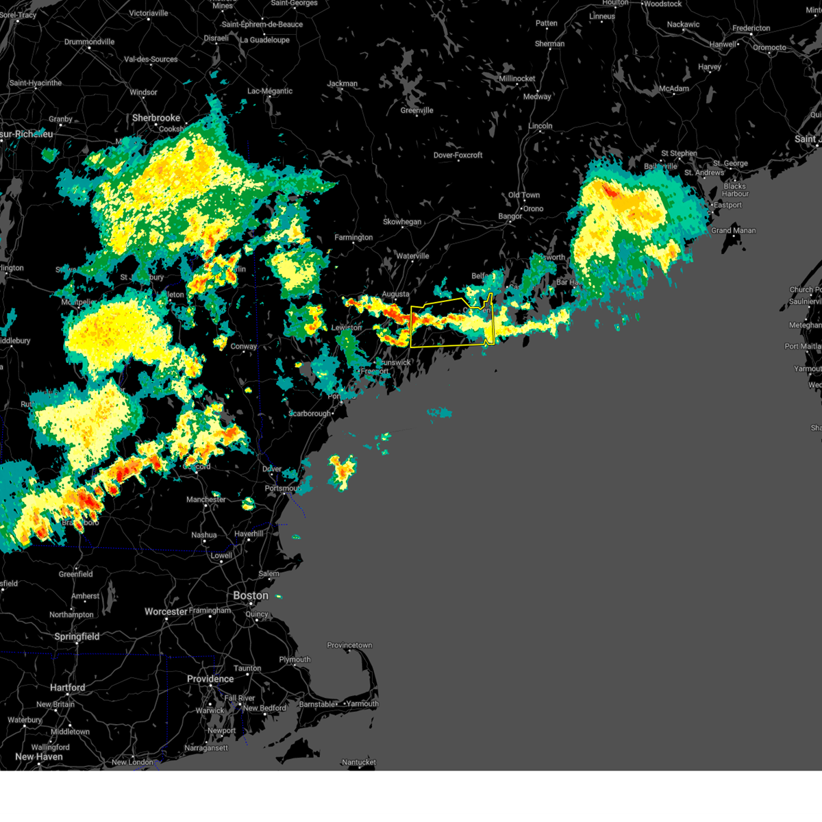 The severe thunderstorm which prompted the warning has weakened and moved out of the warned area. therefore, the warning will be allowed to expire. a severe thunderstorm watch remains in effect until 800 pm edt for south central maine. The severe thunderstorm which prompted the warning has weakened and moved out of the warned area. therefore, the warning will be allowed to expire. a severe thunderstorm watch remains in effect until 800 pm edt for south central maine.
|
| 6/20/2024 5:25 PM EDT |
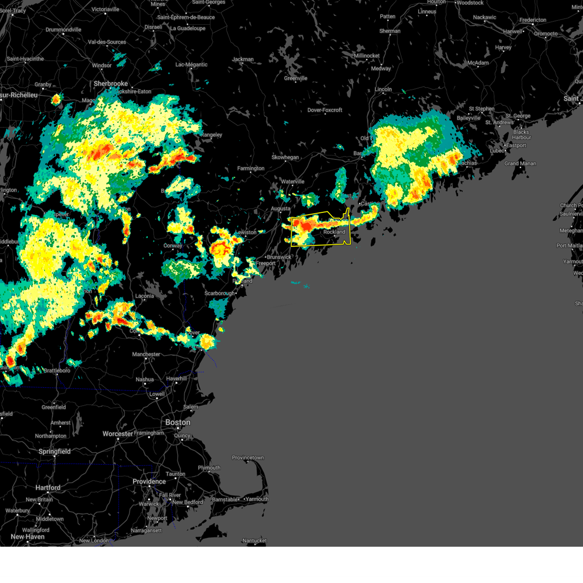 Svrgyx the national weather service in gray maine has issued a * severe thunderstorm warning for, knox county in south central maine, northeastern lincoln county in south central maine, * until 615 pm edt. * at 525 pm edt, a severe thunderstorm was located 8 miles north of damariscotta, moving east at 25 mph (radar indicated). Hazards include 60 mph wind gusts and quarter size hail. Hail damage to vehicles is expected. Expect wind damage to roofs, siding, and trees. Svrgyx the national weather service in gray maine has issued a * severe thunderstorm warning for, knox county in south central maine, northeastern lincoln county in south central maine, * until 615 pm edt. * at 525 pm edt, a severe thunderstorm was located 8 miles north of damariscotta, moving east at 25 mph (radar indicated). Hazards include 60 mph wind gusts and quarter size hail. Hail damage to vehicles is expected. Expect wind damage to roofs, siding, and trees.
|
| 7/25/2022 7:26 PM EDT |
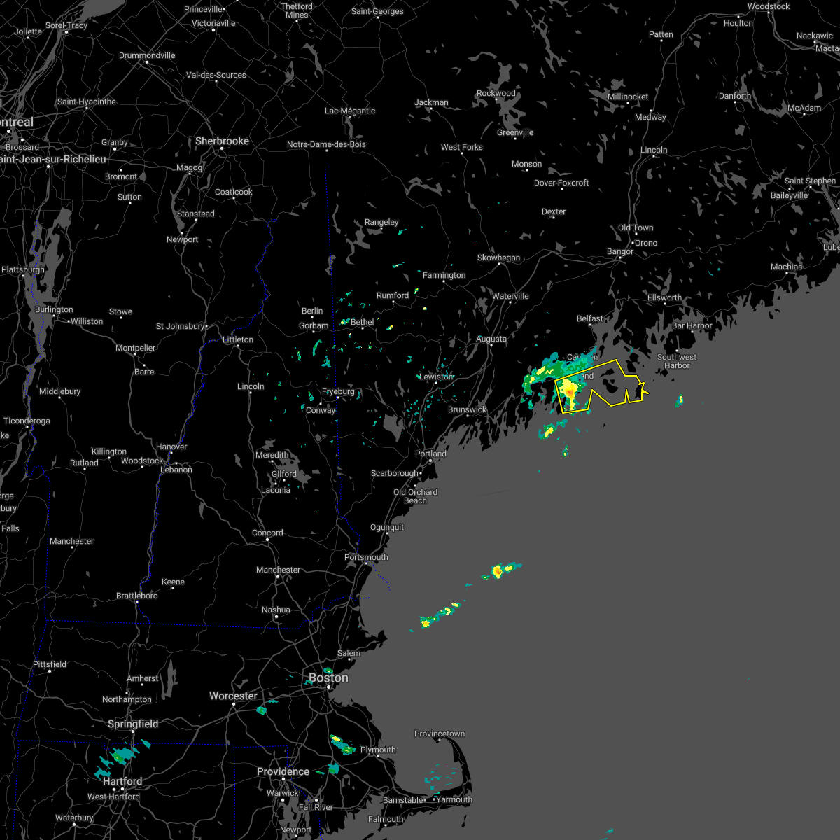 At 726 pm edt, a severe thunderstorm was located near thomaston, or near rockland, moving east at 40 mph (radar indicated). Hazards include 60 mph wind gusts and quarter size hail. Hail damage to vehicles is expected. Expect wind damage to roofs, siding, and trees. At 726 pm edt, a severe thunderstorm was located near thomaston, or near rockland, moving east at 40 mph (radar indicated). Hazards include 60 mph wind gusts and quarter size hail. Hail damage to vehicles is expected. Expect wind damage to roofs, siding, and trees.
|
| 6/17/2022 2:25 PM EDT |
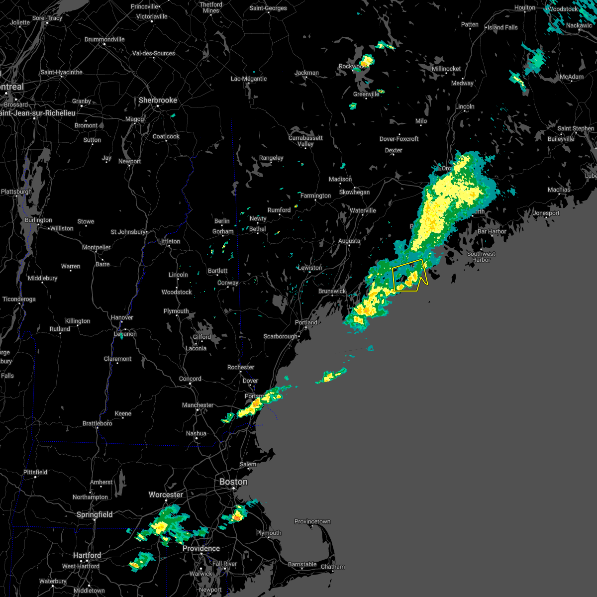 The severe thunderstorm warning for west central knox and eastern lincoln counties will expire at 230 pm edt, the storm which prompted the warning has weakened below severe limits, and has exited the warned area. therefore, the warning will be allowed to expire. however heavy rain is still possible with this thunderstorm. The severe thunderstorm warning for west central knox and eastern lincoln counties will expire at 230 pm edt, the storm which prompted the warning has weakened below severe limits, and has exited the warned area. therefore, the warning will be allowed to expire. however heavy rain is still possible with this thunderstorm.
|
| 6/17/2022 2:14 PM EDT |
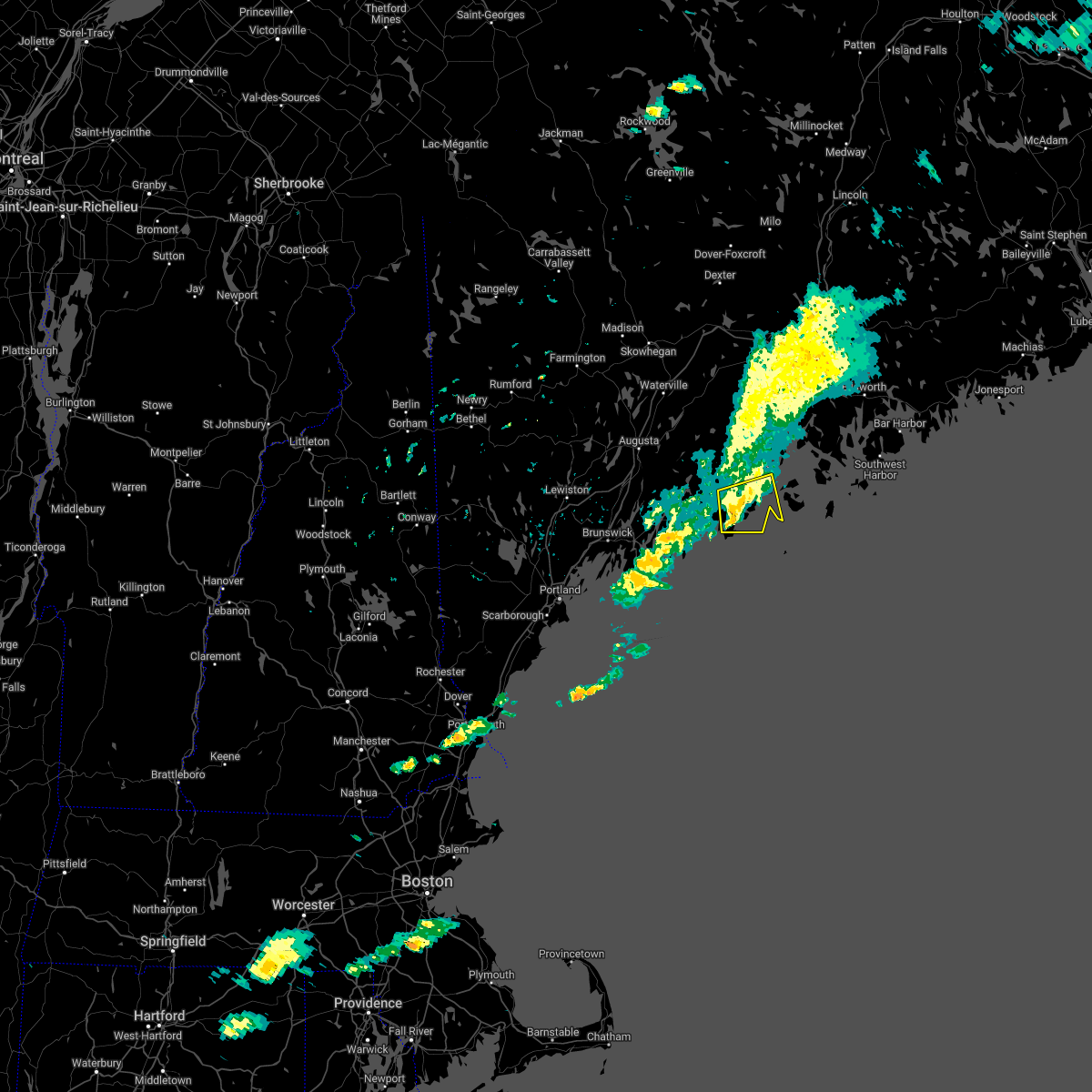 At 214 pm edt, a severe thunderstorm was located over rockland, moving east at 45 mph (radar indicated). Hazards include 60 mph wind gusts and quarter size hail. Hail damage to vehicles is expected. expect wind damage to roofs, siding, and trees. locations impacted include, rockland, thomaston, rockport, cushing, friendship, south thomaston, owls head and saint george. hail threat, radar indicated max hail size, 1. 00 in wind threat, radar indicated max wind gust, 60 mph. At 214 pm edt, a severe thunderstorm was located over rockland, moving east at 45 mph (radar indicated). Hazards include 60 mph wind gusts and quarter size hail. Hail damage to vehicles is expected. expect wind damage to roofs, siding, and trees. locations impacted include, rockland, thomaston, rockport, cushing, friendship, south thomaston, owls head and saint george. hail threat, radar indicated max hail size, 1. 00 in wind threat, radar indicated max wind gust, 60 mph.
|
| 6/17/2022 2:10 PM EDT |
Delayed report...wires down across roadway. time estimated with rada in knox county ME, 4.1 miles NNE of Thomaston, ME
|
| 6/17/2022 1:55 PM EDT |
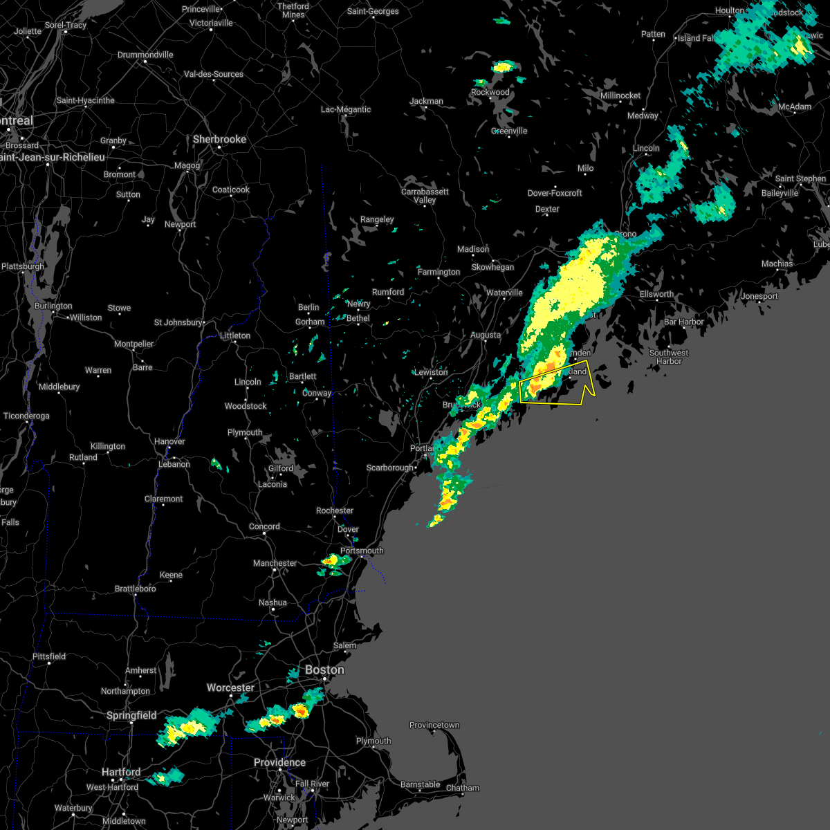 At 155 pm edt, a severe thunderstorm was located over bremen, or near damariscotta, moving east at 45 mph (radar indicated). Hazards include 60 mph wind gusts and quarter size hail. Hail damage to vehicles is expected. Expect wind damage to roofs, siding, and trees. At 155 pm edt, a severe thunderstorm was located over bremen, or near damariscotta, moving east at 45 mph (radar indicated). Hazards include 60 mph wind gusts and quarter size hail. Hail damage to vehicles is expected. Expect wind damage to roofs, siding, and trees.
|
| 8/14/2021 3:35 PM EDT |
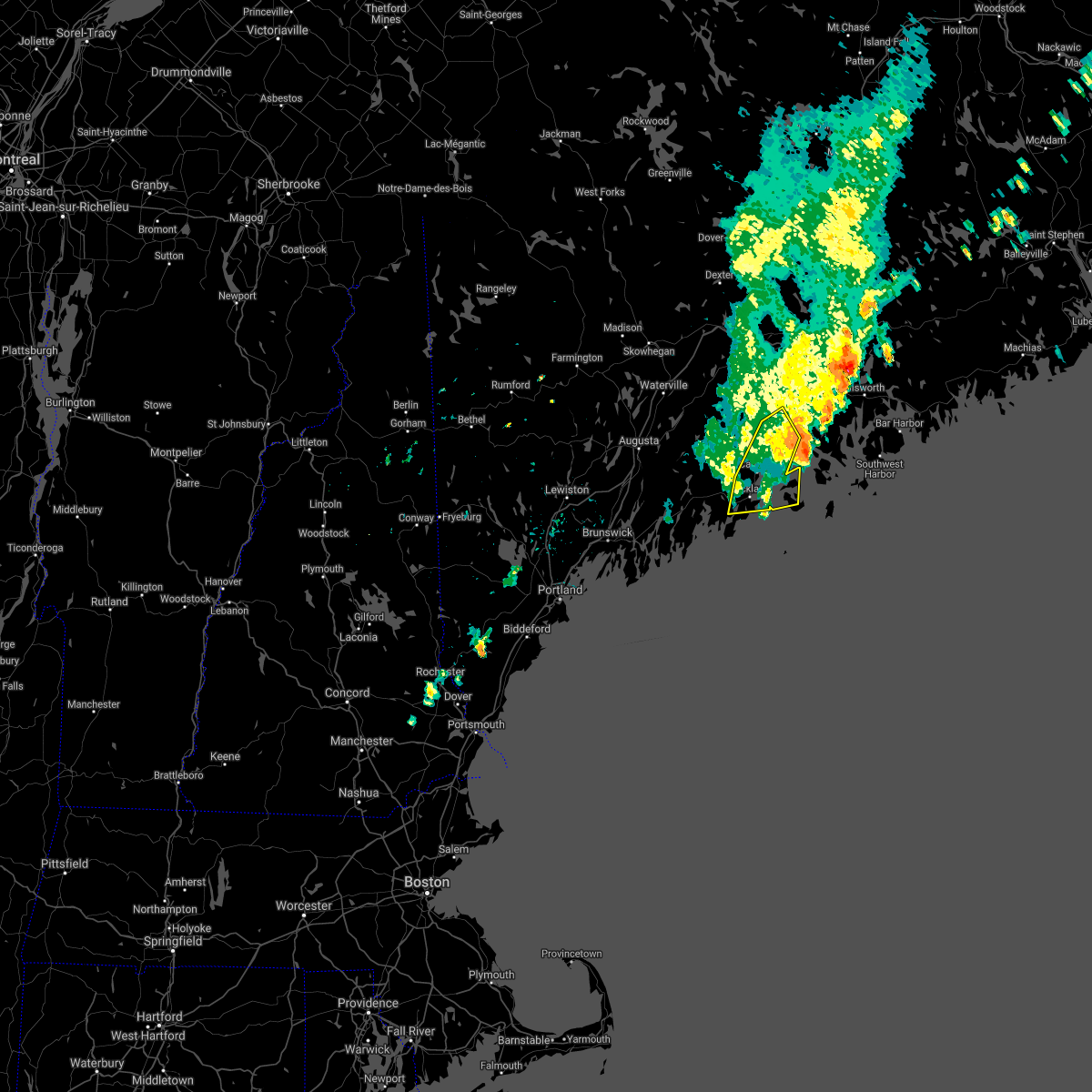 The severe thunderstorm warning for central knox and southeastern waldo counties will expire at 345 pm edt, the storm which prompted the warning has weakened below severe limits, and has exited the warned area. therefore, the warning will be allowed to expire. The severe thunderstorm warning for central knox and southeastern waldo counties will expire at 345 pm edt, the storm which prompted the warning has weakened below severe limits, and has exited the warned area. therefore, the warning will be allowed to expire.
|
| 8/14/2021 3:17 PM EDT |
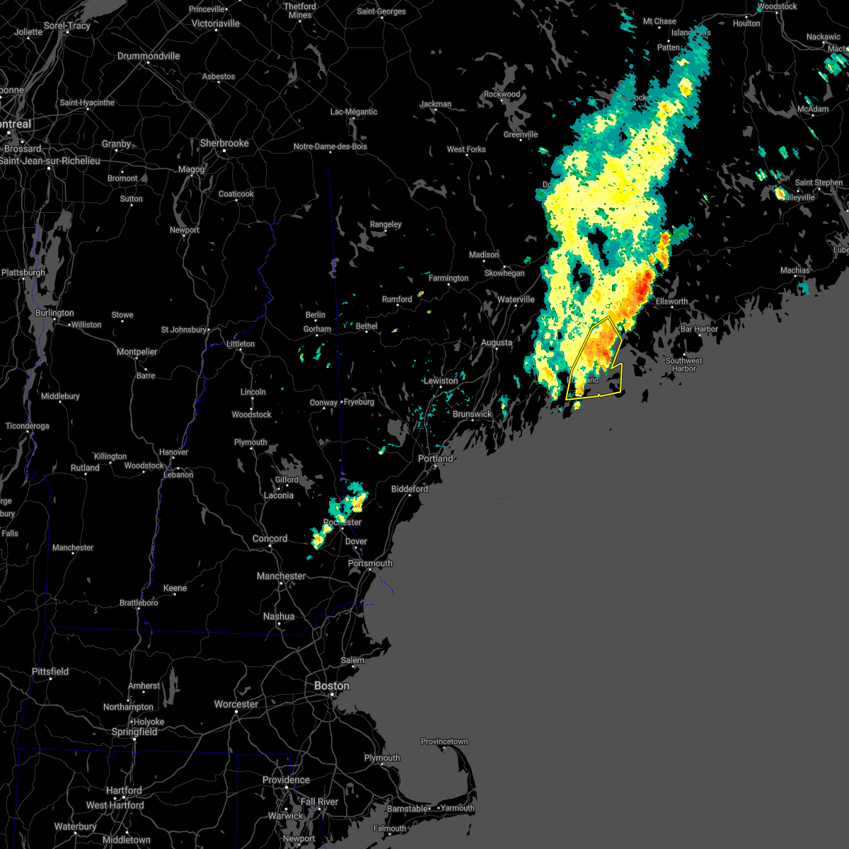 At 316 pm edt, a severe thunderstorm was located near islesboro, or east of lincolnville, moving east at 25 mph (radar indicated). Hazards include 60 mph wind gusts and penny size hail. Expect damage to roofs, siding, and trees. locations impacted include, rockland, belfast, camden, lincolnville, searsport, thomaston, islesboro, rockport, hope, cushing, north haven, northport, south thomaston, owls head, vinalhaven and belmont. hail threat, radar indicated max hail size, 0. 75 in wind threat, radar indicated max wind gust, 60 mph. At 316 pm edt, a severe thunderstorm was located near islesboro, or east of lincolnville, moving east at 25 mph (radar indicated). Hazards include 60 mph wind gusts and penny size hail. Expect damage to roofs, siding, and trees. locations impacted include, rockland, belfast, camden, lincolnville, searsport, thomaston, islesboro, rockport, hope, cushing, north haven, northport, south thomaston, owls head, vinalhaven and belmont. hail threat, radar indicated max hail size, 0. 75 in wind threat, radar indicated max wind gust, 60 mph.
|
| 8/14/2021 3:10 PM EDT |
Corrects previous non-tstm wnd dmg report from 2 sw thomaston. tree down blocking river rd in cushing. time estimated from rada in knox county ME, 1.9 miles NE of Thomaston, ME
|
| 8/14/2021 2:56 PM EDT |
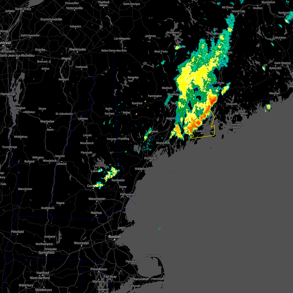 At 256 pm edt, a severe thunderstorm was located near camden, moving east at 20 mph (radar indicated). Hazards include 60 mph wind gusts and quarter size hail. Hail damage to vehicles is expected. Expect wind damage to roofs, siding, and trees. At 256 pm edt, a severe thunderstorm was located near camden, moving east at 20 mph (radar indicated). Hazards include 60 mph wind gusts and quarter size hail. Hail damage to vehicles is expected. Expect wind damage to roofs, siding, and trees.
|
| 7/21/2021 5:53 PM EDT |
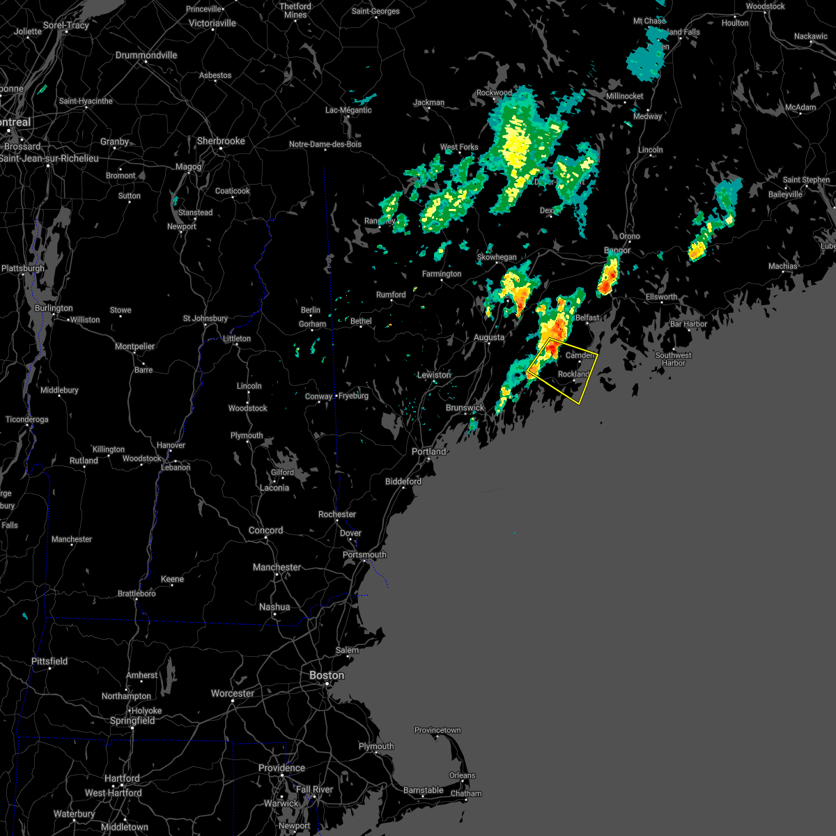 At 553 pm edt, a severe thunderstorm was located 9 miles west of camden, moving southeast at 20 mph (radar indicated). Hazards include 60 mph wind gusts and quarter size hail. Hail damage to vehicles is expected. expect wind damage to roofs, siding, and trees. locations impacted include, rockland, camden, lincolnville, thomaston, rockport, islesboro, jefferson, hope, cushing, appleton, south thomaston, union, owls head, washington, saint george, waldoboro, searsmont and nobleboro. This also includes, birch point beach state park. At 553 pm edt, a severe thunderstorm was located 9 miles west of camden, moving southeast at 20 mph (radar indicated). Hazards include 60 mph wind gusts and quarter size hail. Hail damage to vehicles is expected. expect wind damage to roofs, siding, and trees. locations impacted include, rockland, camden, lincolnville, thomaston, rockport, islesboro, jefferson, hope, cushing, appleton, south thomaston, union, owls head, washington, saint george, waldoboro, searsmont and nobleboro. This also includes, birch point beach state park.
|
| 7/21/2021 5:26 PM EDT |
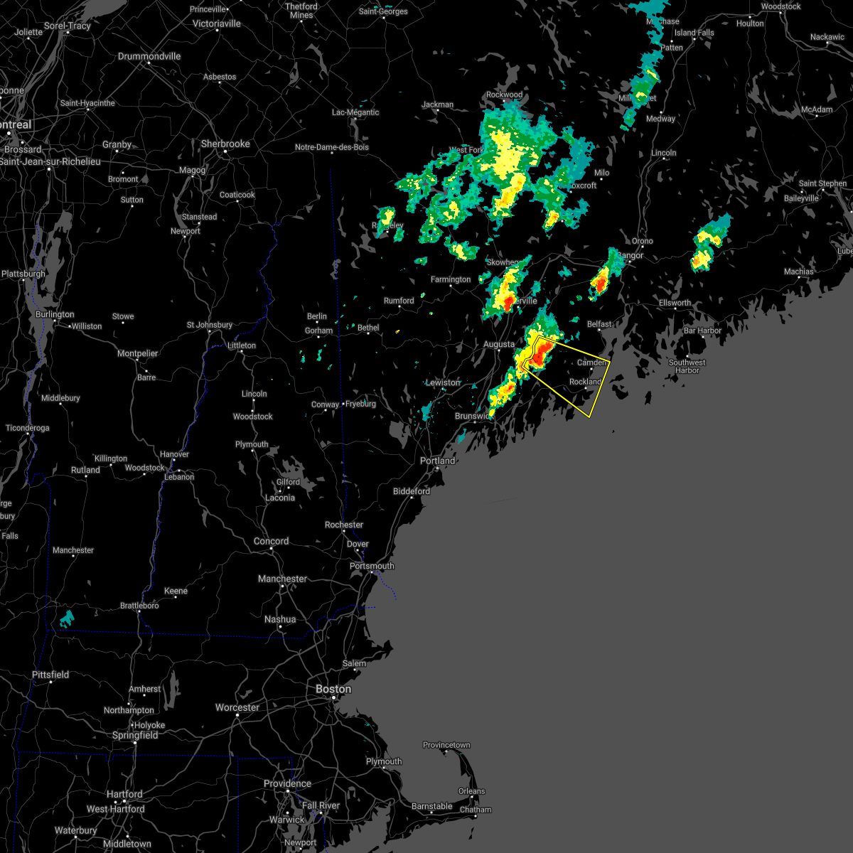 At 526 pm edt, a severe thunderstorm was located 10 miles south of palermo, or 16 miles east of gardiner, moving southeast at 20 mph (radar indicated). Hazards include 60 mph wind gusts and quarter size hail. Hail damage to vehicles is expected. Expect wind damage to roofs, siding, and trees. At 526 pm edt, a severe thunderstorm was located 10 miles south of palermo, or 16 miles east of gardiner, moving southeast at 20 mph (radar indicated). Hazards include 60 mph wind gusts and quarter size hail. Hail damage to vehicles is expected. Expect wind damage to roofs, siding, and trees.
|
| 8/25/2020 4:35 PM EDT |
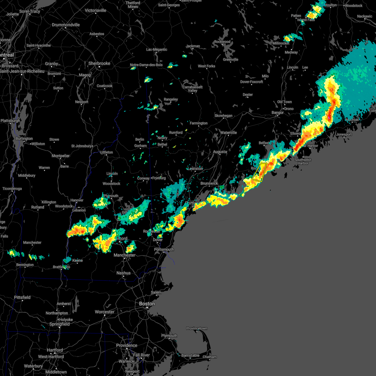 At 435 pm edt, a severe thunderstorm was located near rockland, moving east at 30 mph (radar indicated). Hazards include 60 mph wind gusts and penny size hail. Expect damage to roofs, siding, and trees. locations impacted include, rockland, camden, rockport, thomaston, south thomaston, owls head and saint george. This also includes, birch point beach state park. At 435 pm edt, a severe thunderstorm was located near rockland, moving east at 30 mph (radar indicated). Hazards include 60 mph wind gusts and penny size hail. Expect damage to roofs, siding, and trees. locations impacted include, rockland, camden, rockport, thomaston, south thomaston, owls head and saint george. This also includes, birch point beach state park.
|
| 8/25/2020 4:20 PM EDT |
Corrects source of previous tstm wnd dmg report from 1 ene thomaston. tree down and blocking roadway on old county rd. time estimated from rada in knox county ME, 1 miles SW of Thomaston, ME
|
| 8/25/2020 4:20 PM EDT |
Corrects source of previous tstm wnd dmg report from 1 ene thomaston. tree down and blocking roadway on old county rd. time estimated from rada in knox county ME, 1 miles SW of Thomaston, ME
|
| 8/25/2020 4:05 PM EDT |
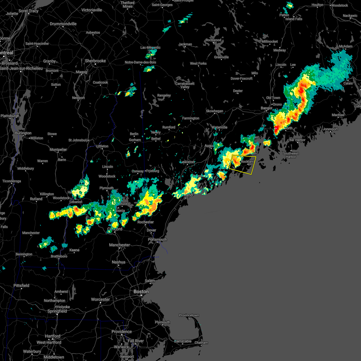 At 405 pm edt, a severe thunderstorm was located near waldoboro, or 10 miles west of rockland, moving east at 30 mph (radar indicated). Hazards include 60 mph wind gusts and penny size hail. expect damage to roofs, siding, and trees At 405 pm edt, a severe thunderstorm was located near waldoboro, or 10 miles west of rockland, moving east at 30 mph (radar indicated). Hazards include 60 mph wind gusts and penny size hail. expect damage to roofs, siding, and trees
|
| 7/8/2020 6:47 PM EDT |
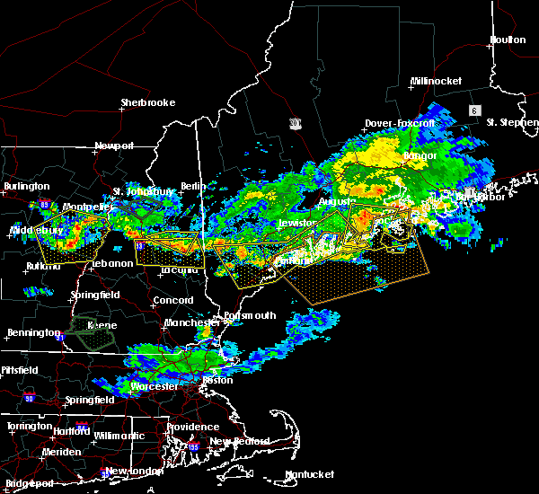 At 646 pm edt, severe thunderstorms were located along a line extending from camden to 12 miles south of thomaston, moving east at 40 mph (radar indicated). Hazards include 60 mph wind gusts and quarter size hail. Hail damage to vehicles is expected. expect wind damage to roofs, siding, and trees. locations impacted include, rockland, camden, lincolnville, thomaston, islesboro, rockport, hope, cushing, appleton, friendship, north haven, south thomaston, searsmont, vinalhaven, matinicus, owls head, saint george, northport, union and belmont. this also includes, birch point beach state park. Metinic island, friendship long island, otter island, thompson island, and barter island. At 646 pm edt, severe thunderstorms were located along a line extending from camden to 12 miles south of thomaston, moving east at 40 mph (radar indicated). Hazards include 60 mph wind gusts and quarter size hail. Hail damage to vehicles is expected. expect wind damage to roofs, siding, and trees. locations impacted include, rockland, camden, lincolnville, thomaston, islesboro, rockport, hope, cushing, appleton, friendship, north haven, south thomaston, searsmont, vinalhaven, matinicus, owls head, saint george, northport, union and belmont. this also includes, birch point beach state park. Metinic island, friendship long island, otter island, thompson island, and barter island.
|
| 7/8/2020 6:36 PM EDT |
Trees and wires down across rd in tenants harbo in knox county ME, 7.6 miles N of Thomaston, ME
|
| 7/8/2020 6:26 PM EDT |
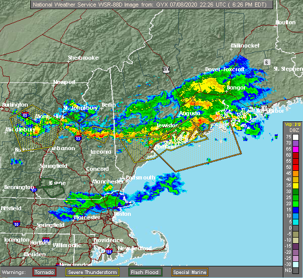 At 626 pm edt, a severe thunderstorm was located 9 miles northwest of thomaston, or 10 miles northwest of rockland, moving east at 40 mph. additional strong winds were moving east to the south of the main storm (radar indicated). Hazards include 60 mph wind gusts and quarter size hail. Hail damage to vehicles is expected. Expect wind damage to roofs, siding, and trees. At 626 pm edt, a severe thunderstorm was located 9 miles northwest of thomaston, or 10 miles northwest of rockland, moving east at 40 mph. additional strong winds were moving east to the south of the main storm (radar indicated). Hazards include 60 mph wind gusts and quarter size hail. Hail damage to vehicles is expected. Expect wind damage to roofs, siding, and trees.
|
| 7/8/2020 6:08 PM EDT |
 At 607 pm edt, severe thunderstorms were located along a line extending from 12 miles north of damariscotta to near woolwich, moving southeast at 45 mph (radar indicated). Hazards include 60 mph wind gusts and quarter size hail. Hail damage to vehicles is expected. expect wind damage to roofs, siding, and trees. locations impacted include, brunswick, augusta, bath, rockland, gardiner, damariscotta, lincolnville, topsham, wiscasset, china, litchfield, farmingdale, bristol, liberty, bremen, woolwich, thomaston, palermo, rockport and bowdoin. this includes the following highways, interstate 295 between mile markers 31 and 51. Interstate 95 between mile markers 91 and 105. At 607 pm edt, severe thunderstorms were located along a line extending from 12 miles north of damariscotta to near woolwich, moving southeast at 45 mph (radar indicated). Hazards include 60 mph wind gusts and quarter size hail. Hail damage to vehicles is expected. expect wind damage to roofs, siding, and trees. locations impacted include, brunswick, augusta, bath, rockland, gardiner, damariscotta, lincolnville, topsham, wiscasset, china, litchfield, farmingdale, bristol, liberty, bremen, woolwich, thomaston, palermo, rockport and bowdoin. this includes the following highways, interstate 295 between mile markers 31 and 51. Interstate 95 between mile markers 91 and 105.
|
| 7/8/2020 5:39 PM EDT |
 At 539 pm edt, severe thunderstorms were located along a line extending from near oakland to near belgrade to near turner, moving southeast at 45 mph (radar indicated). Hazards include 60 mph wind gusts and quarter size hail. Hail damage to vehicles is expected. Expect wind damage to roofs, siding, and trees. At 539 pm edt, severe thunderstorms were located along a line extending from near oakland to near belgrade to near turner, moving southeast at 45 mph (radar indicated). Hazards include 60 mph wind gusts and quarter size hail. Hail damage to vehicles is expected. Expect wind damage to roofs, siding, and trees.
|
| 9/24/2019 2:55 PM EDT |
Quarter sized hail reported 0.8 miles S of Thomaston, ME
|
| 9/24/2019 2:51 PM EDT |
 At 251 pm edt, a severe thunderstorm was located near thomaston, or near rockland, moving east at 25 mph (radar indicated). Hazards include 60 mph wind gusts and quarter size hail. Hail damage to vehicles is expected. Expect wind damage to roofs, siding, and trees. At 251 pm edt, a severe thunderstorm was located near thomaston, or near rockland, moving east at 25 mph (radar indicated). Hazards include 60 mph wind gusts and quarter size hail. Hail damage to vehicles is expected. Expect wind damage to roofs, siding, and trees.
|
|
|
| 8/19/2019 4:55 PM EDT |
 The national weather service in gray maine has issued a * severe thunderstorm warning for. southeastern kennebec county in south central maine. knox county in south central maine. southern waldo county in south central maine. Northeastern lincoln county in south central maine. The national weather service in gray maine has issued a * severe thunderstorm warning for. southeastern kennebec county in south central maine. knox county in south central maine. southern waldo county in south central maine. Northeastern lincoln county in south central maine.
|
| 7/2/2019 3:36 PM EDT |
 The severe thunderstorm warning for west central knox and east central lincoln counties will expire at 345 pm edt, the storm which prompted the warning has weakened below severe limits, and no longer poses an immediate threat to life or property. therefore, the warning will be allowed to expire. however gusty winds and heavy rain are still possible with this thunderstorm. The severe thunderstorm warning for west central knox and east central lincoln counties will expire at 345 pm edt, the storm which prompted the warning has weakened below severe limits, and no longer poses an immediate threat to life or property. therefore, the warning will be allowed to expire. however gusty winds and heavy rain are still possible with this thunderstorm.
|
| 7/2/2019 3:19 PM EDT |
 At 318 pm edt, a severe thunderstorm was located over thomaston, or near rockland, moving southeast at 20 mph (radar indicated). Hazards include 60 mph wind gusts and quarter size hail. Hail damage to vehicles is expected. expect wind damage to roofs, siding, and trees. locations impacted include, rockland, thomaston, rockport, cushing, friendship, south thomaston, owls head, saint george and waldoboro. This also includes, birch point beach state park. At 318 pm edt, a severe thunderstorm was located over thomaston, or near rockland, moving southeast at 20 mph (radar indicated). Hazards include 60 mph wind gusts and quarter size hail. Hail damage to vehicles is expected. expect wind damage to roofs, siding, and trees. locations impacted include, rockland, thomaston, rockport, cushing, friendship, south thomaston, owls head, saint george and waldoboro. This also includes, birch point beach state park.
|
| 7/2/2019 2:46 PM EDT |
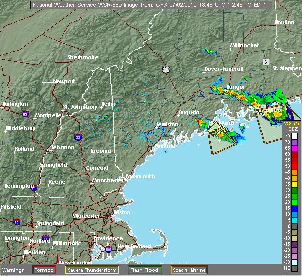 At 246 pm edt, a severe thunderstorm was located 11 miles northwest of thomaston, or 13 miles northwest of rockland, moving southeast at 20 mph (radar indicated). Hazards include 60 mph wind gusts and half dollar size hail. Hail damage to vehicles is expected. Expect wind damage to roofs, siding, and trees. At 246 pm edt, a severe thunderstorm was located 11 miles northwest of thomaston, or 13 miles northwest of rockland, moving southeast at 20 mph (radar indicated). Hazards include 60 mph wind gusts and half dollar size hail. Hail damage to vehicles is expected. Expect wind damage to roofs, siding, and trees.
|
| 7/2/2019 2:13 PM EDT |
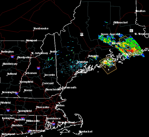 At 157 pm edt, a severe thunderstorm was located near camden, moving southeast at 20 mph (radar indicated). Hazards include 60 mph wind gusts and quarter size hail. Hail damage to vehicles is expected. Expect wind damage to roofs, siding, and trees. At 157 pm edt, a severe thunderstorm was located near camden, moving southeast at 20 mph (radar indicated). Hazards include 60 mph wind gusts and quarter size hail. Hail damage to vehicles is expected. Expect wind damage to roofs, siding, and trees.
|
| 7/2/2019 1:57 PM EDT |
 At 157 pm edt, a severe thunderstorm was located near camden, moving southeast at 20 mph (radar indicated). Hazards include 60 mph wind gusts and quarter size hail. Hail damage to vehicles is expected. Expect wind damage to roofs, siding, and trees. At 157 pm edt, a severe thunderstorm was located near camden, moving southeast at 20 mph (radar indicated). Hazards include 60 mph wind gusts and quarter size hail. Hail damage to vehicles is expected. Expect wind damage to roofs, siding, and trees.
|
| 8/6/2016 4:19 PM EDT |
 At 419 pm edt, a severe thunderstorm was located near thomaston, or 7 miles south of rockland, moving east at 35 mph (radar indicated). Hazards include 60 mph wind gusts and quarter size hail. Hail damage to vehicles is expected. expect wind damage to roofs, siding, and trees. Locations impacted include, rockland, thomaston, cushing, south thomaston, saint george and owls head. At 419 pm edt, a severe thunderstorm was located near thomaston, or 7 miles south of rockland, moving east at 35 mph (radar indicated). Hazards include 60 mph wind gusts and quarter size hail. Hail damage to vehicles is expected. expect wind damage to roofs, siding, and trees. Locations impacted include, rockland, thomaston, cushing, south thomaston, saint george and owls head.
|
| 8/6/2016 4:15 PM EDT |
Quarter sized hail reported 4.1 miles NNE of Thomaston, ME, nickel to quarter size hail near route 131
|
| 8/6/2016 4:09 PM EDT |
 At 409 pm edt, a severe thunderstorm was located near thomaston, or 9 miles southwest of rockland, moving east at 35 mph (radar indicated). Hazards include 60 mph wind gusts and quarter size hail. Hail damage to vehicles is expected. expect wind damage to roofs, siding, and trees. Locations impacted include, rockland, bremen, thomaston, rockport, cushing, friendship, south thomaston, saint george, owls head and waldoboro. At 409 pm edt, a severe thunderstorm was located near thomaston, or 9 miles southwest of rockland, moving east at 35 mph (radar indicated). Hazards include 60 mph wind gusts and quarter size hail. Hail damage to vehicles is expected. expect wind damage to roofs, siding, and trees. Locations impacted include, rockland, bremen, thomaston, rockport, cushing, friendship, south thomaston, saint george, owls head and waldoboro.
|
| 8/6/2016 3:55 PM EDT |
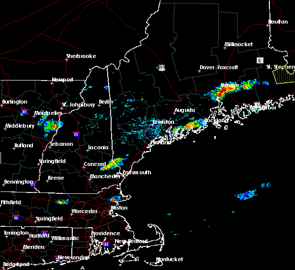 At 355 pm edt, a severe thunderstorm was located over bremen, or near damariscotta, moving east at 35 mph (radar indicated). Hazards include 60 mph wind gusts and quarter size hail. Hail damage to vehicles is expected. Expect wind damage to roofs, siding, and trees. At 355 pm edt, a severe thunderstorm was located over bremen, or near damariscotta, moving east at 35 mph (radar indicated). Hazards include 60 mph wind gusts and quarter size hail. Hail damage to vehicles is expected. Expect wind damage to roofs, siding, and trees.
|
| 7/24/2015 4:19 PM EDT |
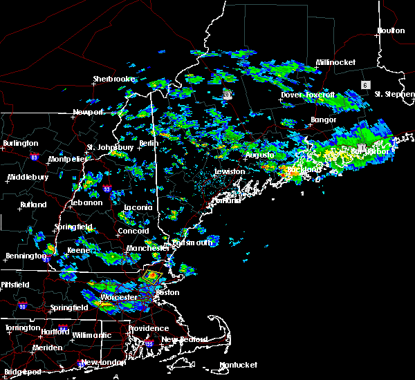 At 418 pm edt, doppler radar indicated a severe thunderstorm capable of producing quarter size hail and damaging winds in excess of 60 mph. this storm was located over thomaston, and moving southeast at 15 mph. At 418 pm edt, doppler radar indicated a severe thunderstorm capable of producing quarter size hail and damaging winds in excess of 60 mph. this storm was located over thomaston, and moving southeast at 15 mph.
|
 The severe thunderstorm which prompted the warning has weakened and moved out of the warned area. therefore, the warning will be allowed to expire. a severe thunderstorm watch remains in effect until 800 pm edt for south central maine.
 Svrgyx the national weather service in gray maine has issued a * severe thunderstorm warning for, knox county in south central maine, northeastern lincoln county in south central maine, * until 615 pm edt. * at 525 pm edt, a severe thunderstorm was located 8 miles north of damariscotta, moving east at 25 mph (radar indicated). Hazards include 60 mph wind gusts and quarter size hail. Hail damage to vehicles is expected. Expect wind damage to roofs, siding, and trees.
 At 726 pm edt, a severe thunderstorm was located near thomaston, or near rockland, moving east at 40 mph (radar indicated). Hazards include 60 mph wind gusts and quarter size hail. Hail damage to vehicles is expected. Expect wind damage to roofs, siding, and trees.
 The severe thunderstorm warning for west central knox and eastern lincoln counties will expire at 230 pm edt, the storm which prompted the warning has weakened below severe limits, and has exited the warned area. therefore, the warning will be allowed to expire. however heavy rain is still possible with this thunderstorm.
 At 214 pm edt, a severe thunderstorm was located over rockland, moving east at 45 mph (radar indicated). Hazards include 60 mph wind gusts and quarter size hail. Hail damage to vehicles is expected. expect wind damage to roofs, siding, and trees. locations impacted include, rockland, thomaston, rockport, cushing, friendship, south thomaston, owls head and saint george. hail threat, radar indicated max hail size, 1. 00 in wind threat, radar indicated max wind gust, 60 mph.
 At 155 pm edt, a severe thunderstorm was located over bremen, or near damariscotta, moving east at 45 mph (radar indicated). Hazards include 60 mph wind gusts and quarter size hail. Hail damage to vehicles is expected. Expect wind damage to roofs, siding, and trees.
 The severe thunderstorm warning for central knox and southeastern waldo counties will expire at 345 pm edt, the storm which prompted the warning has weakened below severe limits, and has exited the warned area. therefore, the warning will be allowed to expire.
 At 316 pm edt, a severe thunderstorm was located near islesboro, or east of lincolnville, moving east at 25 mph (radar indicated). Hazards include 60 mph wind gusts and penny size hail. Expect damage to roofs, siding, and trees. locations impacted include, rockland, belfast, camden, lincolnville, searsport, thomaston, islesboro, rockport, hope, cushing, north haven, northport, south thomaston, owls head, vinalhaven and belmont. hail threat, radar indicated max hail size, 0. 75 in wind threat, radar indicated max wind gust, 60 mph.
 At 256 pm edt, a severe thunderstorm was located near camden, moving east at 20 mph (radar indicated). Hazards include 60 mph wind gusts and quarter size hail. Hail damage to vehicles is expected. Expect wind damage to roofs, siding, and trees.
 At 553 pm edt, a severe thunderstorm was located 9 miles west of camden, moving southeast at 20 mph (radar indicated). Hazards include 60 mph wind gusts and quarter size hail. Hail damage to vehicles is expected. expect wind damage to roofs, siding, and trees. locations impacted include, rockland, camden, lincolnville, thomaston, rockport, islesboro, jefferson, hope, cushing, appleton, south thomaston, union, owls head, washington, saint george, waldoboro, searsmont and nobleboro. This also includes, birch point beach state park.
 At 526 pm edt, a severe thunderstorm was located 10 miles south of palermo, or 16 miles east of gardiner, moving southeast at 20 mph (radar indicated). Hazards include 60 mph wind gusts and quarter size hail. Hail damage to vehicles is expected. Expect wind damage to roofs, siding, and trees.
 At 435 pm edt, a severe thunderstorm was located near rockland, moving east at 30 mph (radar indicated). Hazards include 60 mph wind gusts and penny size hail. Expect damage to roofs, siding, and trees. locations impacted include, rockland, camden, rockport, thomaston, south thomaston, owls head and saint george. This also includes, birch point beach state park.
 At 405 pm edt, a severe thunderstorm was located near waldoboro, or 10 miles west of rockland, moving east at 30 mph (radar indicated). Hazards include 60 mph wind gusts and penny size hail. expect damage to roofs, siding, and trees
 At 646 pm edt, severe thunderstorms were located along a line extending from camden to 12 miles south of thomaston, moving east at 40 mph (radar indicated). Hazards include 60 mph wind gusts and quarter size hail. Hail damage to vehicles is expected. expect wind damage to roofs, siding, and trees. locations impacted include, rockland, camden, lincolnville, thomaston, islesboro, rockport, hope, cushing, appleton, friendship, north haven, south thomaston, searsmont, vinalhaven, matinicus, owls head, saint george, northport, union and belmont. this also includes, birch point beach state park. Metinic island, friendship long island, otter island, thompson island, and barter island.
 At 626 pm edt, a severe thunderstorm was located 9 miles northwest of thomaston, or 10 miles northwest of rockland, moving east at 40 mph. additional strong winds were moving east to the south of the main storm (radar indicated). Hazards include 60 mph wind gusts and quarter size hail. Hail damage to vehicles is expected. Expect wind damage to roofs, siding, and trees.
 At 607 pm edt, severe thunderstorms were located along a line extending from 12 miles north of damariscotta to near woolwich, moving southeast at 45 mph (radar indicated). Hazards include 60 mph wind gusts and quarter size hail. Hail damage to vehicles is expected. expect wind damage to roofs, siding, and trees. locations impacted include, brunswick, augusta, bath, rockland, gardiner, damariscotta, lincolnville, topsham, wiscasset, china, litchfield, farmingdale, bristol, liberty, bremen, woolwich, thomaston, palermo, rockport and bowdoin. this includes the following highways, interstate 295 between mile markers 31 and 51. Interstate 95 between mile markers 91 and 105.
 At 539 pm edt, severe thunderstorms were located along a line extending from near oakland to near belgrade to near turner, moving southeast at 45 mph (radar indicated). Hazards include 60 mph wind gusts and quarter size hail. Hail damage to vehicles is expected. Expect wind damage to roofs, siding, and trees.
 At 251 pm edt, a severe thunderstorm was located near thomaston, or near rockland, moving east at 25 mph (radar indicated). Hazards include 60 mph wind gusts and quarter size hail. Hail damage to vehicles is expected. Expect wind damage to roofs, siding, and trees.
 The national weather service in gray maine has issued a * severe thunderstorm warning for. southeastern kennebec county in south central maine. knox county in south central maine. southern waldo county in south central maine. Northeastern lincoln county in south central maine.
 The severe thunderstorm warning for west central knox and east central lincoln counties will expire at 345 pm edt, the storm which prompted the warning has weakened below severe limits, and no longer poses an immediate threat to life or property. therefore, the warning will be allowed to expire. however gusty winds and heavy rain are still possible with this thunderstorm.
 At 318 pm edt, a severe thunderstorm was located over thomaston, or near rockland, moving southeast at 20 mph (radar indicated). Hazards include 60 mph wind gusts and quarter size hail. Hail damage to vehicles is expected. expect wind damage to roofs, siding, and trees. locations impacted include, rockland, thomaston, rockport, cushing, friendship, south thomaston, owls head, saint george and waldoboro. This also includes, birch point beach state park.
 At 246 pm edt, a severe thunderstorm was located 11 miles northwest of thomaston, or 13 miles northwest of rockland, moving southeast at 20 mph (radar indicated). Hazards include 60 mph wind gusts and half dollar size hail. Hail damage to vehicles is expected. Expect wind damage to roofs, siding, and trees.
 At 157 pm edt, a severe thunderstorm was located near camden, moving southeast at 20 mph (radar indicated). Hazards include 60 mph wind gusts and quarter size hail. Hail damage to vehicles is expected. Expect wind damage to roofs, siding, and trees.
 At 157 pm edt, a severe thunderstorm was located near camden, moving southeast at 20 mph (radar indicated). Hazards include 60 mph wind gusts and quarter size hail. Hail damage to vehicles is expected. Expect wind damage to roofs, siding, and trees.
 At 419 pm edt, a severe thunderstorm was located near thomaston, or 7 miles south of rockland, moving east at 35 mph (radar indicated). Hazards include 60 mph wind gusts and quarter size hail. Hail damage to vehicles is expected. expect wind damage to roofs, siding, and trees. Locations impacted include, rockland, thomaston, cushing, south thomaston, saint george and owls head.
 At 409 pm edt, a severe thunderstorm was located near thomaston, or 9 miles southwest of rockland, moving east at 35 mph (radar indicated). Hazards include 60 mph wind gusts and quarter size hail. Hail damage to vehicles is expected. expect wind damage to roofs, siding, and trees. Locations impacted include, rockland, bremen, thomaston, rockport, cushing, friendship, south thomaston, saint george, owls head and waldoboro.
 At 355 pm edt, a severe thunderstorm was located over bremen, or near damariscotta, moving east at 35 mph (radar indicated). Hazards include 60 mph wind gusts and quarter size hail. Hail damage to vehicles is expected. Expect wind damage to roofs, siding, and trees.
 At 418 pm edt, doppler radar indicated a severe thunderstorm capable of producing quarter size hail and damaging winds in excess of 60 mph. this storm was located over thomaston, and moving southeast at 15 mph.



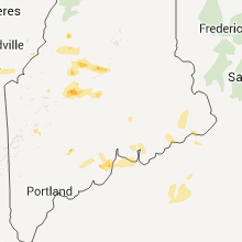
Connect with Interactive Hail Maps