| 8/5/2024 4:28 PM PDT |
Quarter sized hail reported 6.8 miles NNW of Wallowa, OR
|
| 8/5/2024 4:18 PM PDT |
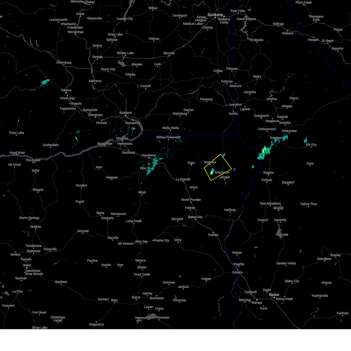 the severe thunderstorm warning has been cancelled and is no longer in effect the severe thunderstorm warning has been cancelled and is no longer in effect
|
| 8/5/2024 4:18 PM PDT |
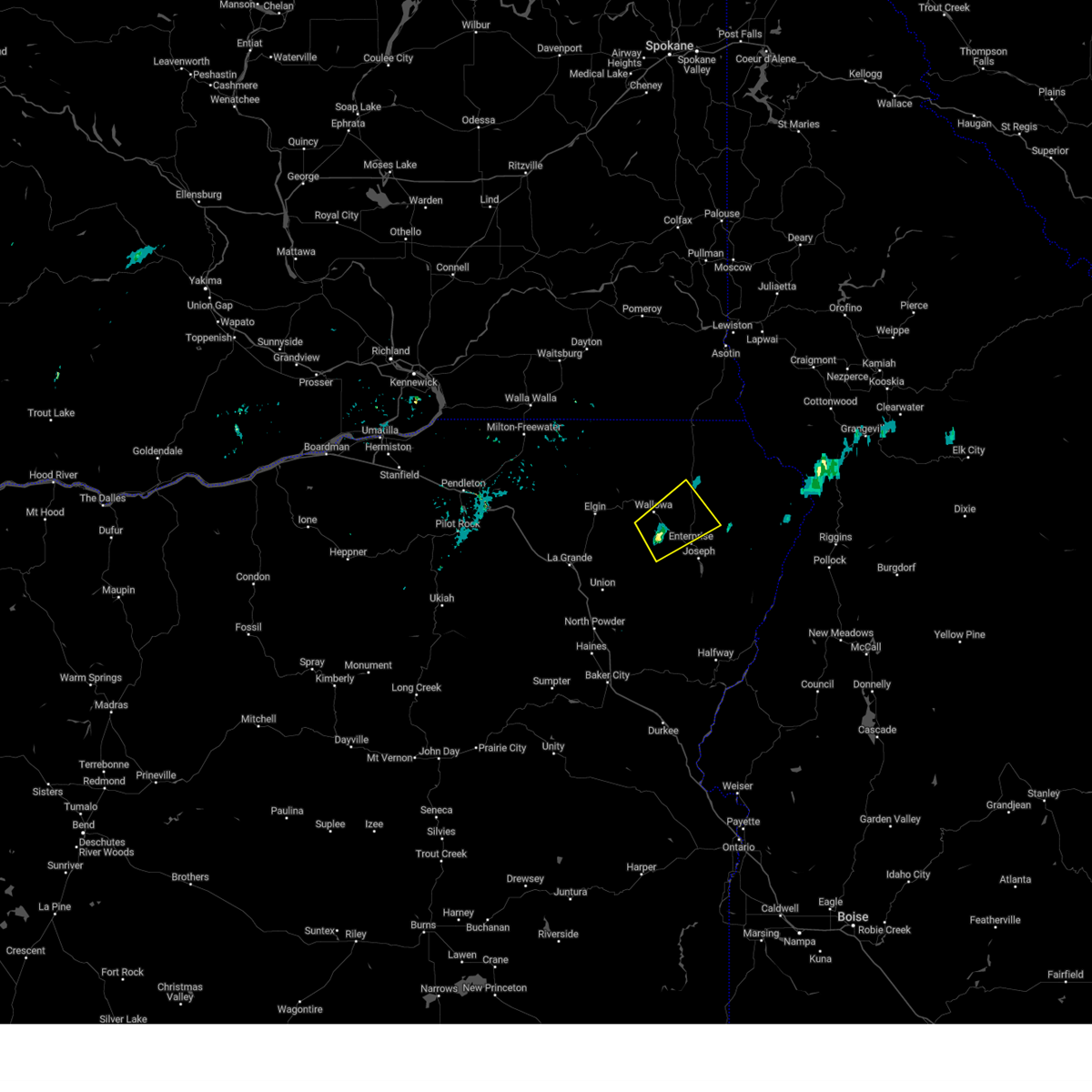 At 417 pm pdt, a severe thunderstorm was located near lostine, or 11 miles west of enterprise, moving northeast at 25 mph (radar indicated). Hazards include quarter size hail. Damage to vehicles is expected. Locations impacted include, wallowa and lostine. At 417 pm pdt, a severe thunderstorm was located near lostine, or 11 miles west of enterprise, moving northeast at 25 mph (radar indicated). Hazards include quarter size hail. Damage to vehicles is expected. Locations impacted include, wallowa and lostine.
|
| 8/5/2024 4:00 PM PDT |
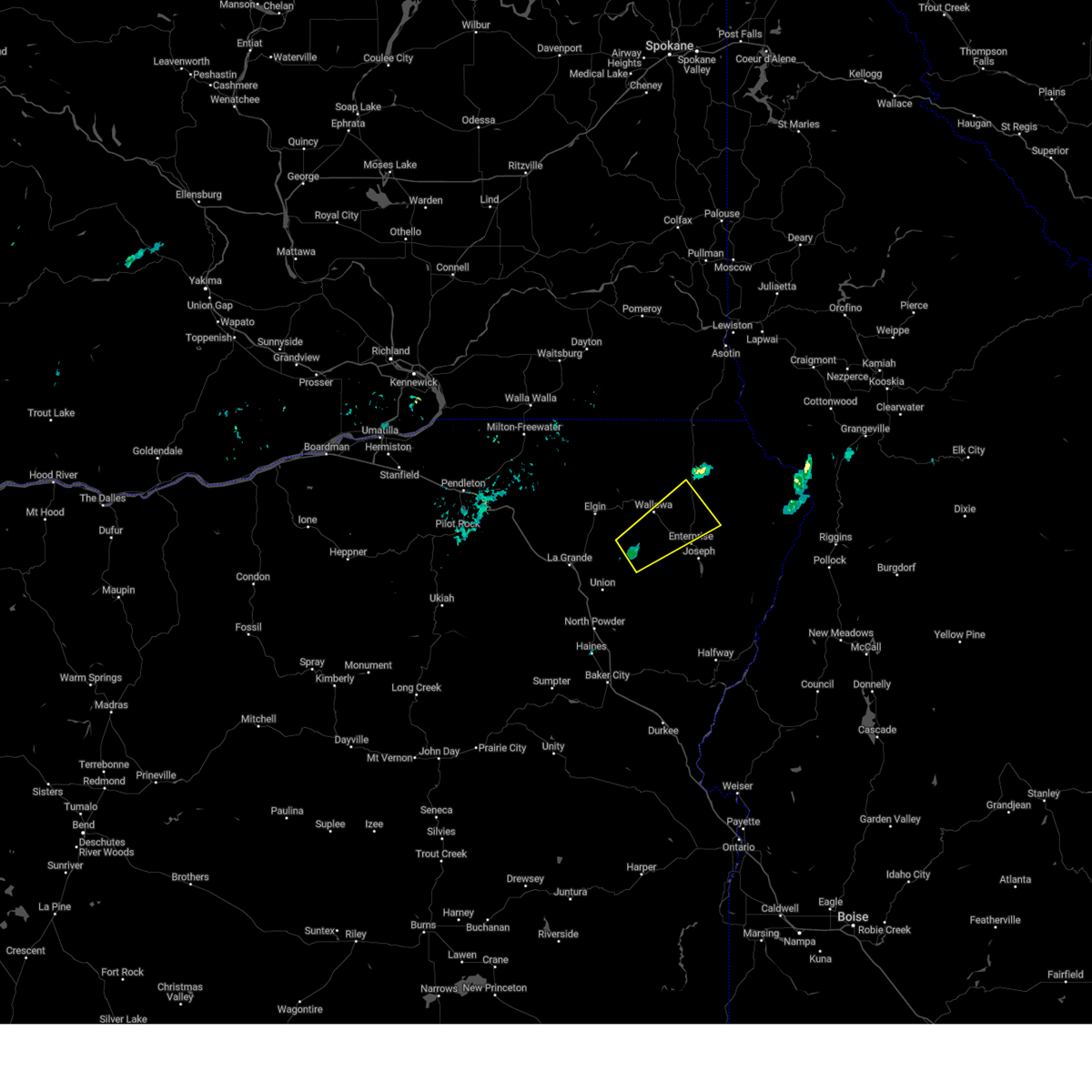 Svrpdt the national weather service in pendleton oregon has issued a * severe thunderstorm warning for, east central union county in northeastern oregon, central wallowa county in northeastern oregon, * until 500 pm pdt. * at 359 pm pdt, a severe thunderstorm was located 10 miles southwest of lostine, or 16 miles west of enterprise, moving northeast at 25 mph (radar indicated). Hazards include quarter size hail. damage to vehicles is expected Svrpdt the national weather service in pendleton oregon has issued a * severe thunderstorm warning for, east central union county in northeastern oregon, central wallowa county in northeastern oregon, * until 500 pm pdt. * at 359 pm pdt, a severe thunderstorm was located 10 miles southwest of lostine, or 16 miles west of enterprise, moving northeast at 25 mph (radar indicated). Hazards include quarter size hail. damage to vehicles is expected
|
| 5/28/2024 4:56 PM PDT |
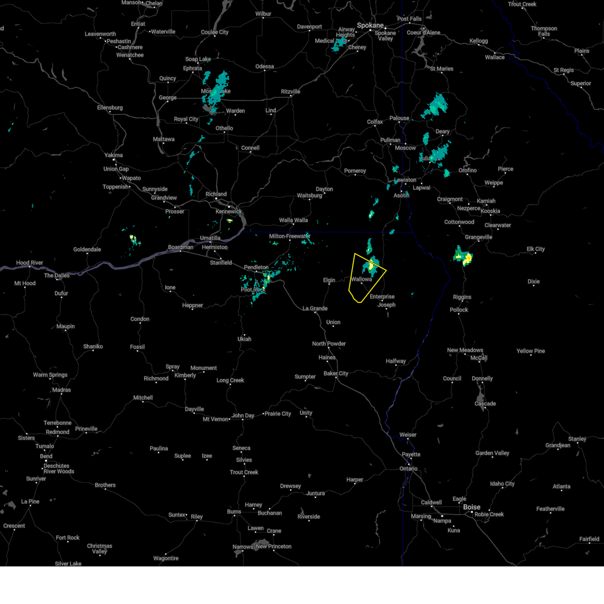 The storm which prompted the warning has weakened below severe limits, and no longer poses an immediate threat to life or property. therefore, the warning will be allowed to expire. The storm which prompted the warning has weakened below severe limits, and no longer poses an immediate threat to life or property. therefore, the warning will be allowed to expire.
|
| 5/28/2024 4:42 PM PDT |
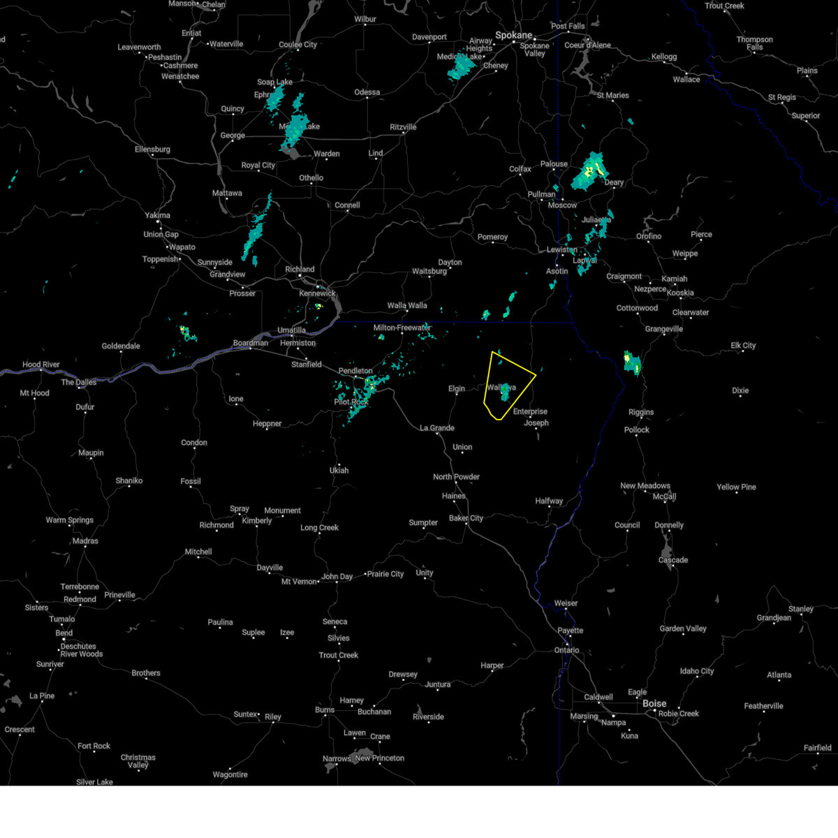 At 441 pm pdt, a severe thunderstorm was located over wallowa, or 17 miles northwest of enterprise, moving north at 35 mph (radar indicated). Hazards include 60 mph wind gusts and quarter size hail. Hail damage to vehicles is expected. expect wind damage to roofs, siding, and trees. Locations impacted include, wallowa. At 441 pm pdt, a severe thunderstorm was located over wallowa, or 17 miles northwest of enterprise, moving north at 35 mph (radar indicated). Hazards include 60 mph wind gusts and quarter size hail. Hail damage to vehicles is expected. expect wind damage to roofs, siding, and trees. Locations impacted include, wallowa.
|
| 5/28/2024 4:23 PM PDT |
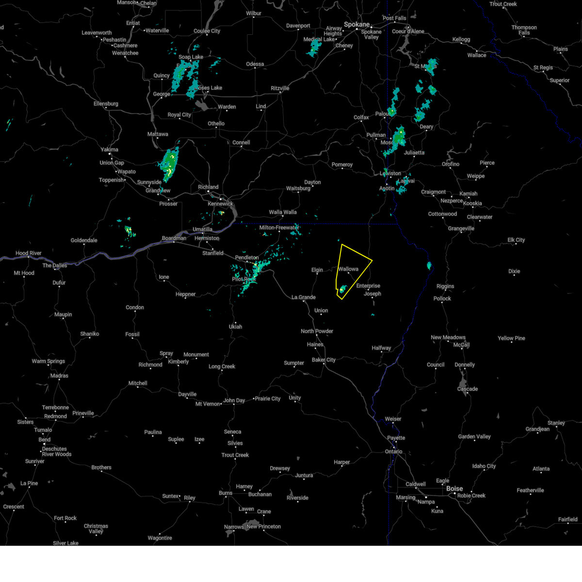 Svrpdt the national weather service in pendleton oregon has issued a * severe thunderstorm warning for, northwestern wallowa county in northeastern oregon, * until 500 pm pdt. * at 422 pm pdt, a severe thunderstorm was located 9 miles west of lostine, or 16 miles west of enterprise, moving north at 35 mph (radar indicated). Hazards include 60 mph wind gusts and quarter size hail. Hail damage to vehicles is expected. Expect wind damage to roofs, siding, and trees. Svrpdt the national weather service in pendleton oregon has issued a * severe thunderstorm warning for, northwestern wallowa county in northeastern oregon, * until 500 pm pdt. * at 422 pm pdt, a severe thunderstorm was located 9 miles west of lostine, or 16 miles west of enterprise, moving north at 35 mph (radar indicated). Hazards include 60 mph wind gusts and quarter size hail. Hail damage to vehicles is expected. Expect wind damage to roofs, siding, and trees.
|
| 8/11/2022 4:15 PM PDT |
Golf Ball sized hail reported 0.2 miles NNE of Wallowa, OR, via social media.
|
| 8/11/2022 4:01 PM PDT |
Corrects previous tstm wnd gst report from 1 w lostine. via call: lost power 20 minutes ago. some trees down and bent. no precip reporte in wallowa county OR, 6.8 miles NNW of Wallowa, OR
|
| 8/11/2022 3:59 PM PDT |
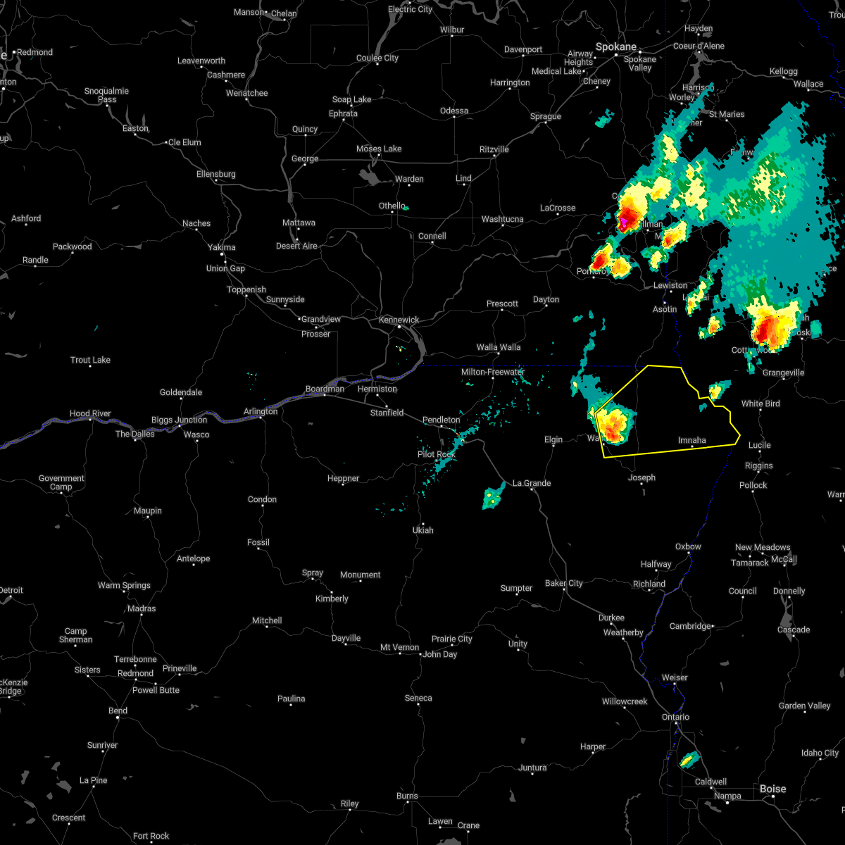 At 358 pm pdt, a severe thunderstorm was located 9 miles northeast of wallowa, or 16 miles north of enterprise, moving northeast at 40 mph (radar indicated). Hazards include two inch hail and 60 mph wind gusts. People and animals outdoors will be injured. expect hail damage to roofs, siding, windows, and vehicles. Expect wind damage to roofs, siding, and trees. At 358 pm pdt, a severe thunderstorm was located 9 miles northeast of wallowa, or 16 miles north of enterprise, moving northeast at 40 mph (radar indicated). Hazards include two inch hail and 60 mph wind gusts. People and animals outdoors will be injured. expect hail damage to roofs, siding, windows, and vehicles. Expect wind damage to roofs, siding, and trees.
|
| 8/11/2022 3:50 PM PDT |
Golf Ball sized hail reported 0.2 miles NNE of Wallowa, OR, *** 1 inj *** golf ball sized hail and multiple injuries reported. county without power.
|
| 8/11/2022 3:45 PM PDT |
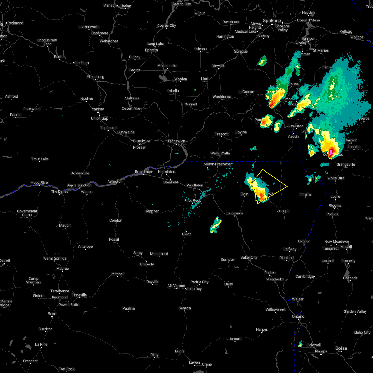 At 344 pm pdt, a severe thunderstorm was located near minam, or 23 miles northwest of enterprise, moving northeast at 35 mph (radar indicated). Hazards include two inch hail and 60 mph wind gusts. People and animals outdoors will be injured. expect hail damage to roofs, siding, windows, and vehicles. expect wind damage to roofs, siding, and trees. locations impacted include, wallowa and minam. thunderstorm damage threat, considerable hail threat, radar indicated max hail size, 2. 00 in wind threat, radar indicated max wind gust, 60 mph. At 344 pm pdt, a severe thunderstorm was located near minam, or 23 miles northwest of enterprise, moving northeast at 35 mph (radar indicated). Hazards include two inch hail and 60 mph wind gusts. People and animals outdoors will be injured. expect hail damage to roofs, siding, windows, and vehicles. expect wind damage to roofs, siding, and trees. locations impacted include, wallowa and minam. thunderstorm damage threat, considerable hail threat, radar indicated max hail size, 2. 00 in wind threat, radar indicated max wind gust, 60 mph.
|
| 8/11/2022 3:34 PM PDT |
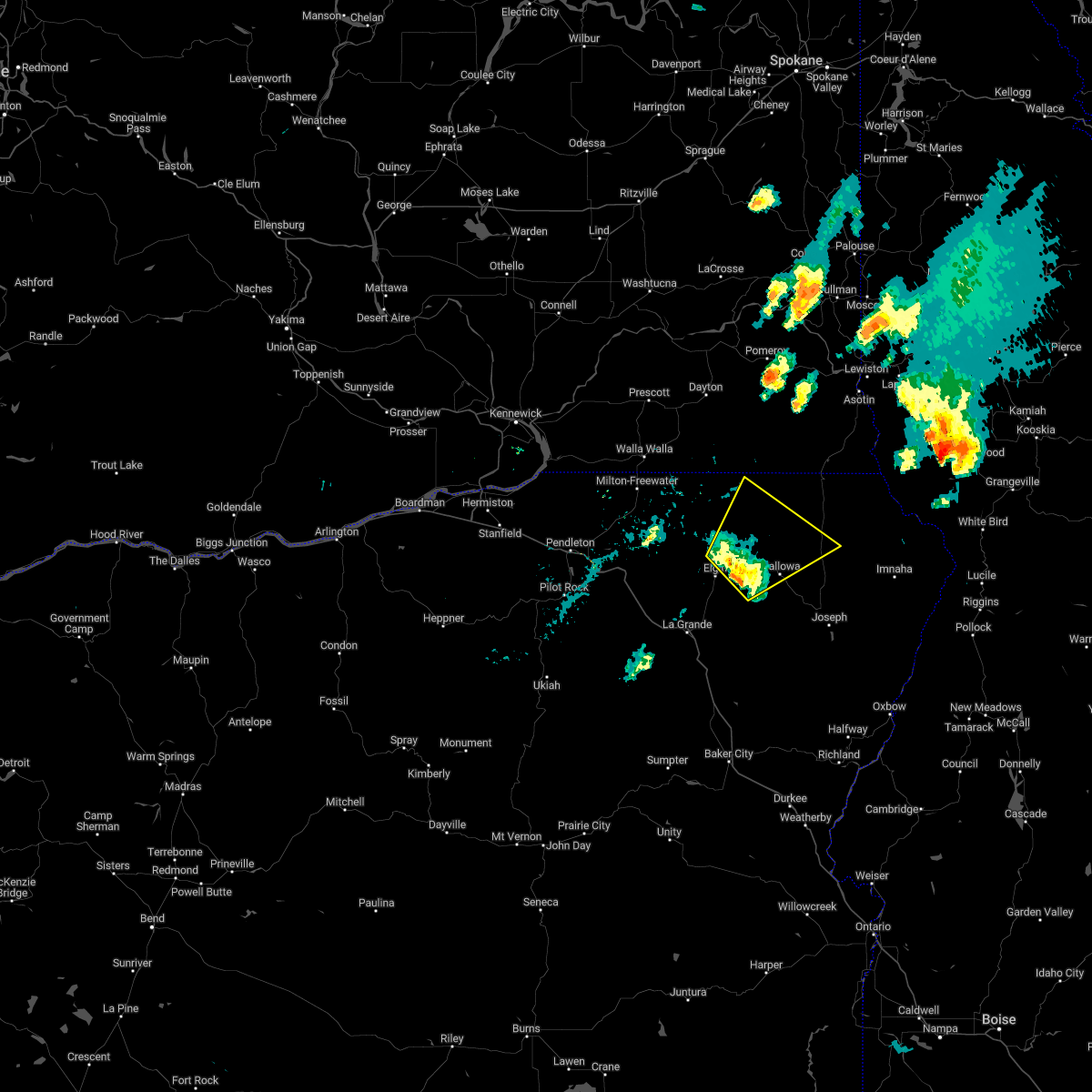 At 334 pm pdt, a severe thunderstorm was located over minam, or 23 miles northwest of enterprise, moving northeast at 35 mph (radar indicated). Hazards include 60 mph wind gusts and half dollar size hail. Hail damage to vehicles is expected. expect wind damage to roofs, siding, and trees. locations impacted include, wallowa and minam. hail threat, radar indicated max hail size, 1. 25 in wind threat, radar indicated max wind gust, 60 mph. At 334 pm pdt, a severe thunderstorm was located over minam, or 23 miles northwest of enterprise, moving northeast at 35 mph (radar indicated). Hazards include 60 mph wind gusts and half dollar size hail. Hail damage to vehicles is expected. expect wind damage to roofs, siding, and trees. locations impacted include, wallowa and minam. hail threat, radar indicated max hail size, 1. 25 in wind threat, radar indicated max wind gust, 60 mph.
|
| 8/11/2022 3:21 PM PDT |
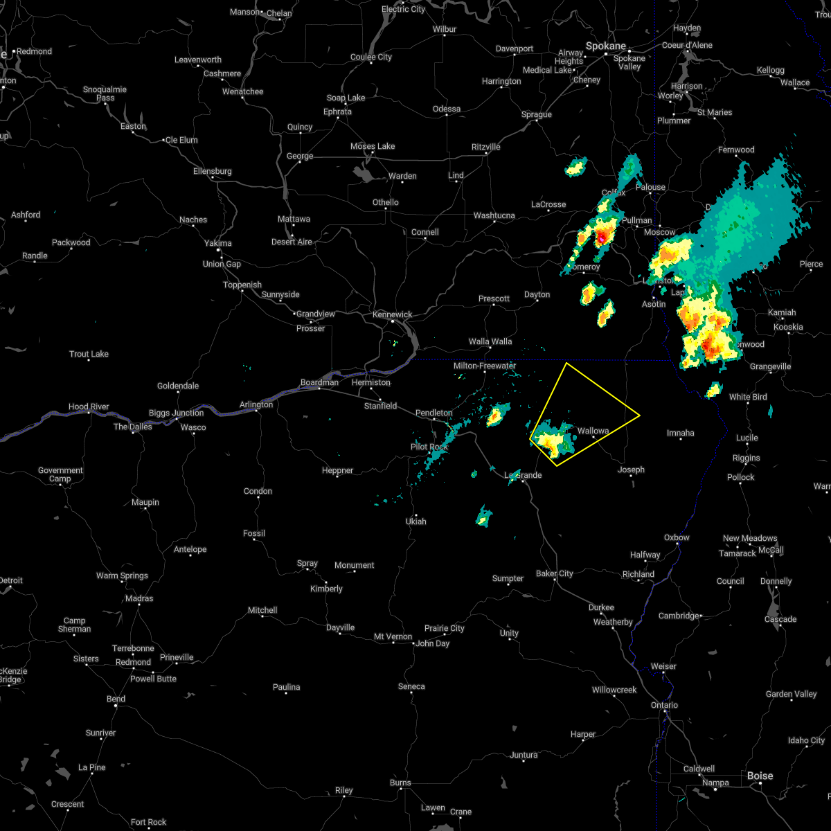 At 321 pm pdt, a severe thunderstorm was located 7 miles southeast of elgin, or 18 miles northeast of la grande, moving northeast at 35 mph (radar indicated). Hazards include 60 mph wind gusts and half dollar size hail. Hail damage to vehicles is expected. Expect wind damage to roofs, siding, and trees. At 321 pm pdt, a severe thunderstorm was located 7 miles southeast of elgin, or 18 miles northeast of la grande, moving northeast at 35 mph (radar indicated). Hazards include 60 mph wind gusts and half dollar size hail. Hail damage to vehicles is expected. Expect wind damage to roofs, siding, and trees.
|
| 5/31/2020 1:15 AM PDT |
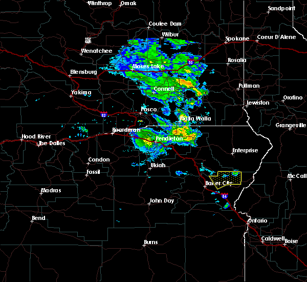 At 114 am pdt, a severe thunderstorm was located 24 miles east of pondosa, or 32 miles south of enterprise, moving northeast at 55 mph (radar indicated). Hazards include 70 mph wind gusts and half dollar size hail. Hail damage to vehicles is expected. expect considerable tree damage. Wind damage is also likely to mobile homes, roofs, and outbuildings. At 114 am pdt, a severe thunderstorm was located 24 miles east of pondosa, or 32 miles south of enterprise, moving northeast at 55 mph (radar indicated). Hazards include 70 mph wind gusts and half dollar size hail. Hail damage to vehicles is expected. expect considerable tree damage. Wind damage is also likely to mobile homes, roofs, and outbuildings.
|
| 5/5/2016 7:16 PM PDT |
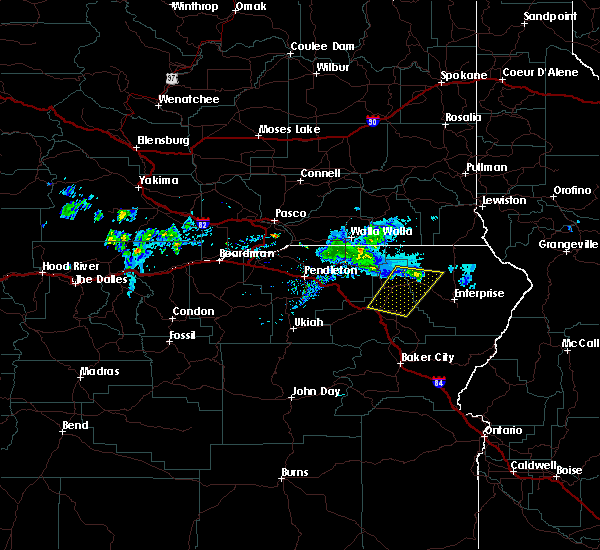 At 714 pm pdt, doppler radar indicated a severe thunderstorm capable of producing quarter size hail and damaging winds in excess of 60 mph. this storm was located near minam, or 25 miles northwest of enterprise, moving northeast at 20 mph. in addition, at 705 pm the public reported quarter size hail, 13 miles east of elgin along highway 82. locations impacted include, la grande, elgin, island city, wallowa, cove, imbler, summerville and minam. At 714 pm pdt, doppler radar indicated a severe thunderstorm capable of producing quarter size hail and damaging winds in excess of 60 mph. this storm was located near minam, or 25 miles northwest of enterprise, moving northeast at 20 mph. in addition, at 705 pm the public reported quarter size hail, 13 miles east of elgin along highway 82. locations impacted include, la grande, elgin, island city, wallowa, cove, imbler, summerville and minam.
|
| 5/5/2016 7:05 PM PDT |
Quarter sized hail reported 6 miles E of Wallowa, OR
|
| 5/5/2016 6:55 PM PDT |
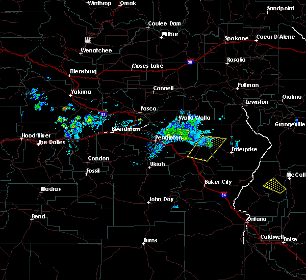 At 652 pm pdt, doppler radar indicated a severe thunderstorm capable of producing quarter size hail and damaging winds in excess of 60 mph. this storm was located near elgin, or 21 miles northeast of la grande, moving north at 20 mph. in addition, at 605 pm a trained weather spotter reported quarter size hail, three miles southeast of la grande. locations impacted include, la grande, elgin, island city, wallowa, cove, imbler, summerville and minam. At 652 pm pdt, doppler radar indicated a severe thunderstorm capable of producing quarter size hail and damaging winds in excess of 60 mph. this storm was located near elgin, or 21 miles northeast of la grande, moving north at 20 mph. in addition, at 605 pm a trained weather spotter reported quarter size hail, three miles southeast of la grande. locations impacted include, la grande, elgin, island city, wallowa, cove, imbler, summerville and minam.
|
| 5/5/2016 6:44 PM PDT |
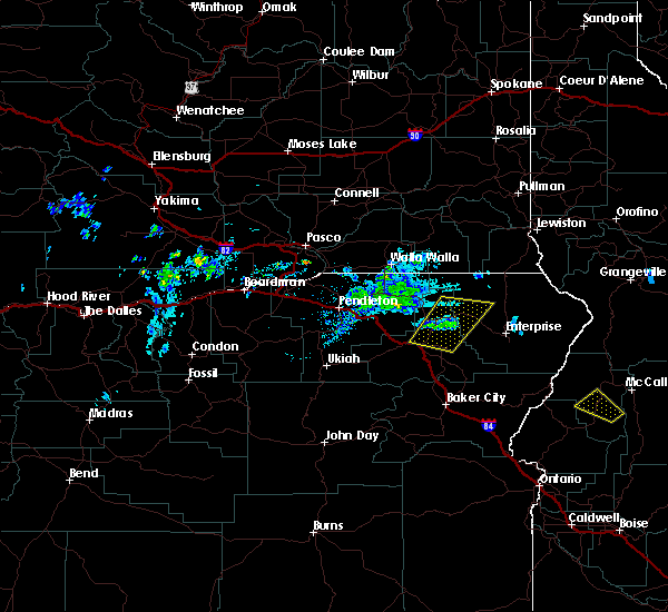 At 644 pm pdt, doppler radar indicated a severe thunderstorm capable of producing quarter size hail and damaging winds in excess of 60 mph. this storm was located 7 miles southeast of elgin, or 17 miles northeast of la grande. this storm was nearly stationary. At 644 pm pdt, doppler radar indicated a severe thunderstorm capable of producing quarter size hail and damaging winds in excess of 60 mph. this storm was located 7 miles southeast of elgin, or 17 miles northeast of la grande. this storm was nearly stationary.
|
| 5/5/2016 6:19 PM PDT |
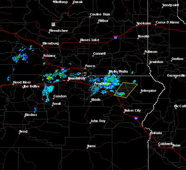 At 619 pm pdt, doppler radar indicated a severe thunderstorm capable of producing quarter size hail and damaging winds in excess of 60 mph. this storm was located near imbler, or 8 miles northeast of la grande, and moving northeast at 30 mph. At 619 pm pdt, doppler radar indicated a severe thunderstorm capable of producing quarter size hail and damaging winds in excess of 60 mph. this storm was located near imbler, or 8 miles northeast of la grande, and moving northeast at 30 mph.
|
| 5/31/2015 7:06 PM PDT |
The severe thunderstorm warning for northwestern wallowa and north central union counties will expire at 715 pm pdt, the storm which prompted the warning has weakened below severe limits, and no longer poses an immediate threat to life or property. therefore the warning will be allowed to expire. however hail up to a quarter inch is still possible with this thunderstorm.
|
| 5/31/2015 6:46 PM PDT |
At 645 pm pdt, trained weather spotters and law enforcement reported a severe thunderstorm producing large damaging hail up to golf ball size. this storm was located over minam, or 24 miles northeast of la grande, moving northeast at 35 mph. locations impacted include, elgin, summerville and minam.
|
| 5/31/2015 6:22 PM PDT |
At 621 pm pdt, storm spotters reported a severe thunderstorm producing golf ball size hail. this storm was located over imbler, or 12 miles northeast of la grande, and moving northeast at 25 mph.
|
| 7/17/2012 5:35 PM PDT |
Quarter sized hail reported 0.6 miles ENE of Wallowa, OR, heavy hail currently falling largest hail stones are the size of a quarter in diameter with several penny sized hail stones as well. no significant wind to report with
|
 the severe thunderstorm warning has been cancelled and is no longer in effect
 At 417 pm pdt, a severe thunderstorm was located near lostine, or 11 miles west of enterprise, moving northeast at 25 mph (radar indicated). Hazards include quarter size hail. Damage to vehicles is expected. Locations impacted include, wallowa and lostine.
 Svrpdt the national weather service in pendleton oregon has issued a * severe thunderstorm warning for, east central union county in northeastern oregon, central wallowa county in northeastern oregon, * until 500 pm pdt. * at 359 pm pdt, a severe thunderstorm was located 10 miles southwest of lostine, or 16 miles west of enterprise, moving northeast at 25 mph (radar indicated). Hazards include quarter size hail. damage to vehicles is expected
 The storm which prompted the warning has weakened below severe limits, and no longer poses an immediate threat to life or property. therefore, the warning will be allowed to expire.
 At 441 pm pdt, a severe thunderstorm was located over wallowa, or 17 miles northwest of enterprise, moving north at 35 mph (radar indicated). Hazards include 60 mph wind gusts and quarter size hail. Hail damage to vehicles is expected. expect wind damage to roofs, siding, and trees. Locations impacted include, wallowa.
 Svrpdt the national weather service in pendleton oregon has issued a * severe thunderstorm warning for, northwestern wallowa county in northeastern oregon, * until 500 pm pdt. * at 422 pm pdt, a severe thunderstorm was located 9 miles west of lostine, or 16 miles west of enterprise, moving north at 35 mph (radar indicated). Hazards include 60 mph wind gusts and quarter size hail. Hail damage to vehicles is expected. Expect wind damage to roofs, siding, and trees.
 At 358 pm pdt, a severe thunderstorm was located 9 miles northeast of wallowa, or 16 miles north of enterprise, moving northeast at 40 mph (radar indicated). Hazards include two inch hail and 60 mph wind gusts. People and animals outdoors will be injured. expect hail damage to roofs, siding, windows, and vehicles. Expect wind damage to roofs, siding, and trees.
 At 344 pm pdt, a severe thunderstorm was located near minam, or 23 miles northwest of enterprise, moving northeast at 35 mph (radar indicated). Hazards include two inch hail and 60 mph wind gusts. People and animals outdoors will be injured. expect hail damage to roofs, siding, windows, and vehicles. expect wind damage to roofs, siding, and trees. locations impacted include, wallowa and minam. thunderstorm damage threat, considerable hail threat, radar indicated max hail size, 2. 00 in wind threat, radar indicated max wind gust, 60 mph.
 At 334 pm pdt, a severe thunderstorm was located over minam, or 23 miles northwest of enterprise, moving northeast at 35 mph (radar indicated). Hazards include 60 mph wind gusts and half dollar size hail. Hail damage to vehicles is expected. expect wind damage to roofs, siding, and trees. locations impacted include, wallowa and minam. hail threat, radar indicated max hail size, 1. 25 in wind threat, radar indicated max wind gust, 60 mph.
 At 321 pm pdt, a severe thunderstorm was located 7 miles southeast of elgin, or 18 miles northeast of la grande, moving northeast at 35 mph (radar indicated). Hazards include 60 mph wind gusts and half dollar size hail. Hail damage to vehicles is expected. Expect wind damage to roofs, siding, and trees.
 At 114 am pdt, a severe thunderstorm was located 24 miles east of pondosa, or 32 miles south of enterprise, moving northeast at 55 mph (radar indicated). Hazards include 70 mph wind gusts and half dollar size hail. Hail damage to vehicles is expected. expect considerable tree damage. Wind damage is also likely to mobile homes, roofs, and outbuildings.
 At 714 pm pdt, doppler radar indicated a severe thunderstorm capable of producing quarter size hail and damaging winds in excess of 60 mph. this storm was located near minam, or 25 miles northwest of enterprise, moving northeast at 20 mph. in addition, at 705 pm the public reported quarter size hail, 13 miles east of elgin along highway 82. locations impacted include, la grande, elgin, island city, wallowa, cove, imbler, summerville and minam.
 At 652 pm pdt, doppler radar indicated a severe thunderstorm capable of producing quarter size hail and damaging winds in excess of 60 mph. this storm was located near elgin, or 21 miles northeast of la grande, moving north at 20 mph. in addition, at 605 pm a trained weather spotter reported quarter size hail, three miles southeast of la grande. locations impacted include, la grande, elgin, island city, wallowa, cove, imbler, summerville and minam.
 At 644 pm pdt, doppler radar indicated a severe thunderstorm capable of producing quarter size hail and damaging winds in excess of 60 mph. this storm was located 7 miles southeast of elgin, or 17 miles northeast of la grande. this storm was nearly stationary.
 At 619 pm pdt, doppler radar indicated a severe thunderstorm capable of producing quarter size hail and damaging winds in excess of 60 mph. this storm was located near imbler, or 8 miles northeast of la grande, and moving northeast at 30 mph.


Connect with Interactive Hail Maps