

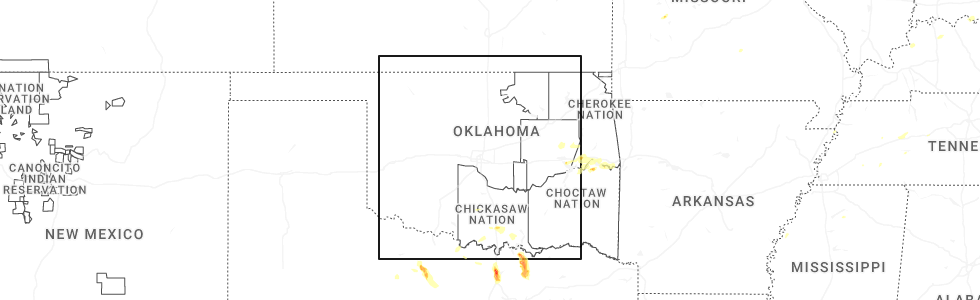
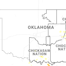
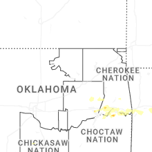
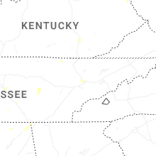
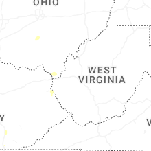
Hail Map for Sunday, September 21, 2025
Number of Impacted Households on 9/21/2025
0
Impacted by 1" or Larger Hail
0
Impacted by 1.75" or Larger Hail
0
Impacted by 2.5" or Larger Hail
Square Miles of Populated Area Impacted on 9/21/2025
0
Impacted by 1" or Larger Hail
0
Impacted by 1.75" or Larger Hail
0
Impacted by 2.5" or Larger Hail
Cities Most Affected by Hail Storms of 9/21/2025
| Hail Size | Demographics of Zip Codes Affected | ||||||
|---|---|---|---|---|---|---|---|
| City | Count | Average | Largest | Pop Density | House Value | Income | Age |
Hail and Wind Damage Spotted on 9/21/2025
Filter by Report Type:Hail ReportsWind Reports
Ohio
| Local Time | Report Details |
|---|---|
| 2:16 PM EDT | 3 foot diameter tree dow in clermont county OH, 15.1 miles ENE of Cincinnati, OH |
| 2:16 PM EDT | Several trees and large limbs down along bailey drive. time estimated from radar dat in clermont county OH, 14.2 miles ENE of Cincinnati, OH |
| 2:22 PM EDT | Large tree limbs on power lines- radar estimated tim in clermont county OH, 17.6 miles ENE of Cincinnati, OH |
| 2:27 PM EDT | Trees down on power lines- time radar estimat in clermont county OH, 20.5 miles ENE of Cincinnati, OH |
| 2:37 PM EDT | Several trees down across harlan township in southeast warren county. time estimated from radar dat in warren county OH, 27.6 miles ENE of Cincinnati, OH |
| 3:00 PM EDT | Trees down near sr 380 and buck run road. time estimated from rada in clinton county OH, 42.3 miles NE of Cincinnati, OH |
Oklahoma
| Local Time | Report Details |
|---|---|
| 2:40 PM CDT | The oklahoma mesonet station near haskell measured 65 mph thunderstorm wind gust in muskogee county OK, 33.4 miles SE of Tulsa, OK |
Connect with Interactive Hail Maps