

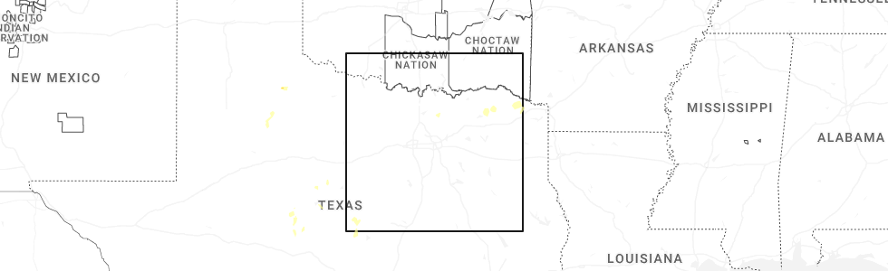
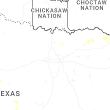
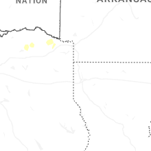
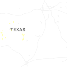
Hail Map for Friday, June 19, 2026
Number of Impacted Households on 6/19/2026
0
Impacted by 1" or Larger Hail
0
Impacted by 1.75" or Larger Hail
0
Impacted by 2.5" or Larger Hail
Square Miles of Populated Area Impacted on 6/19/2026
0
Impacted by 1" or Larger Hail
0
Impacted by 1.75" or Larger Hail
0
Impacted by 2.5" or Larger Hail
Cities Most Affected by Hail Storms of 6/19/2026
| Hail Size | Demographics of Zip Codes Affected | ||||||
|---|---|---|---|---|---|---|---|
| City | Count | Average | Largest | Pop Density | House Value | Income | Age |
Hail and Wind Damage Spotted on 6/19/2026
Filter by Report Type:Hail ReportsWind Reports
South Carolina
| Local Time | Report Details |
|---|---|
| 8:33 AM EDT | Em reported a tree down near 16 pearl avenue. time estimated from radar dat in charleston county SC, 29.2 miles SSE of Charleston, SC |
North Carolina
| Local Time | Report Details |
|---|---|
| 9:41 AM EDT | Weatherflow station xoki (oak island in brunswick county NC, 24.5 miles SSW of Wilmington, NC |
Georgia
| Local Time | Report Details |
|---|---|
| 10:47 AM EDT | Trees down blocking all lanes of ga-90 at county farm roa in ben hill county GA, 30.8 miles NW of Douglas, GA |
Connect with Interactive Hail Maps