

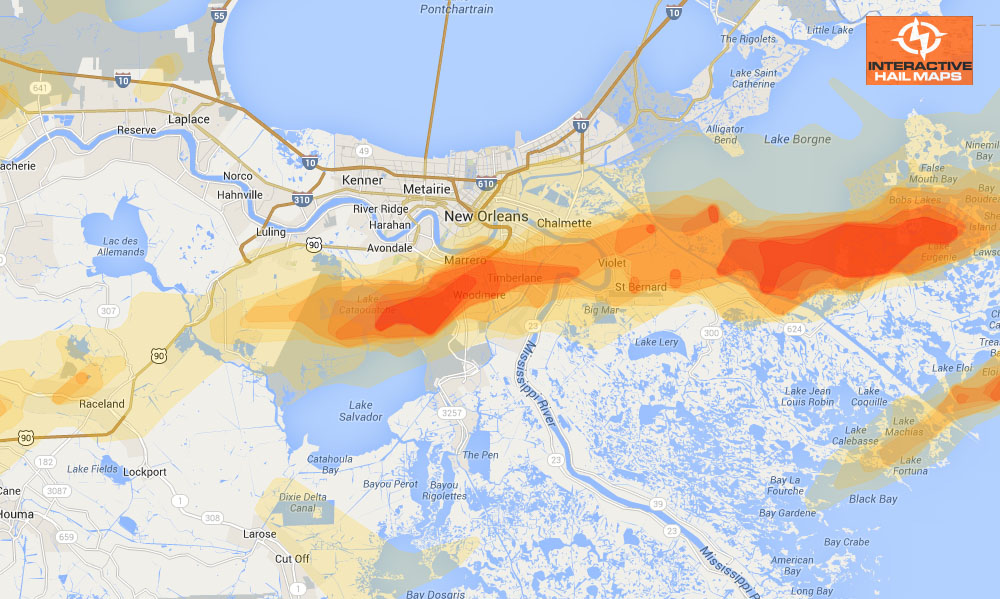
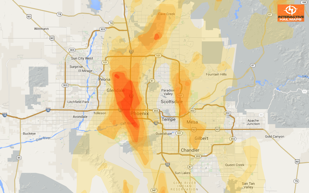
Hail Map for Indianapolis, IN September 21, 2012
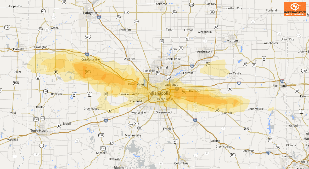
Here is a map for a hail storm that hit Indianapolis, IN on September 21, 2012. The green markers are on the ground hail reports up to 1.25 inch in diameter. The blue markers are 1.5 and 1.75 inch on the ground reports. Use Interactive Hail Maps to pinpoint hail locations live and zoom all the way to street view. Find the hail storms others are missing. Subscribe to Interactive Hail Maps to receive Unlimited Full Screen Hail Maps, nationwide.
Cities Most Affected by Hail Storms of 9/21/2012
| Hail Size | Demographics of Zip Codes Affected | ||||||
|---|---|---|---|---|---|---|---|
| City | Count | Average | Largest | Pop Density | House Value | Income | Age |
| North Salem, IN | 1 | 1.75 | 1.75 | 27 | $95k | $51.3k | 43.6 |
| Pittsboro, IN | 1 | 1.75 | 1.75 | 205 | $144k | $58.6k | 38.9 |
| Indianapolis, IN | 1 | 1.75 | 1.75 | 925 | $128k | $59.9k | 33.8 |
| Greenfield, IN | 1 | 1.75 | 1.75 | 233 | $127k | $52.7k | 39.4 |
| Danville, IN | 1 | 1.75 | 1.75 | 174 | $130k | $54.1k | 38.2 |
| Rushville, IN | 1 | 1.75 | 1.75 | 48 | $85k | $37.2k | 40.1 |

Connect with Interactive Hail Maps